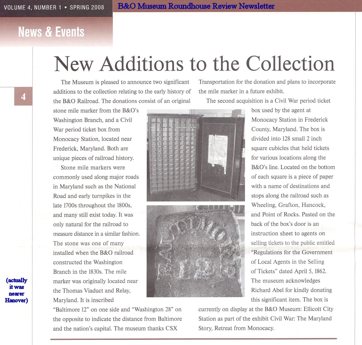
|
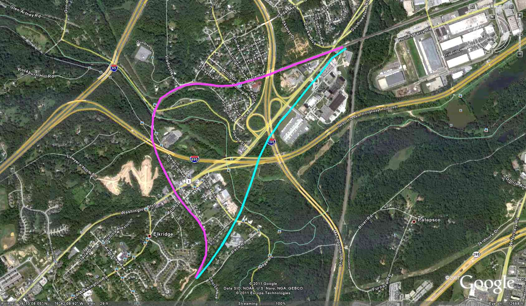
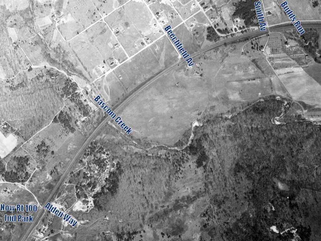
For the better part of a century, B&O planned to bypass the Thomas Viaduct
route (magenta) with a shortcut (light blue), but could never bring itself to
obviate its grand stone bridge.
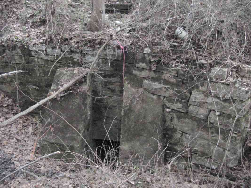
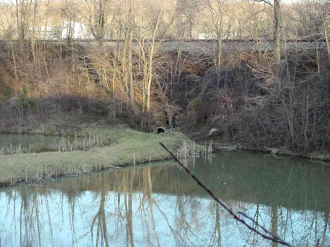
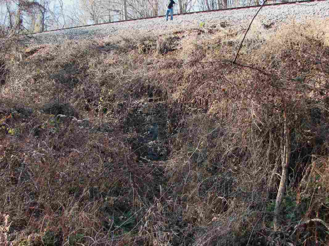
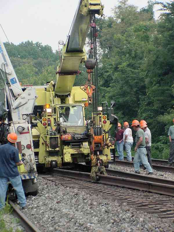
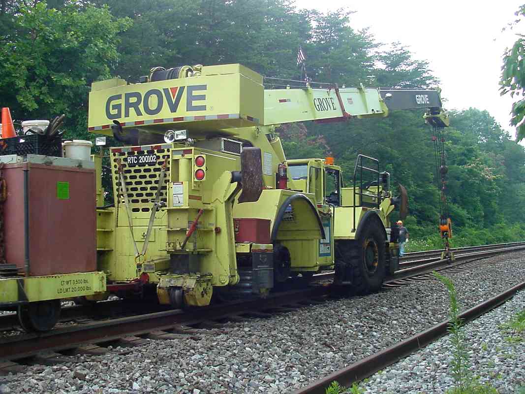
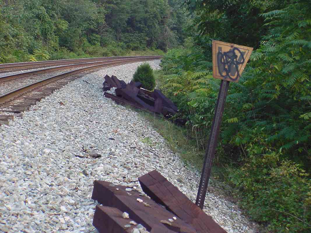
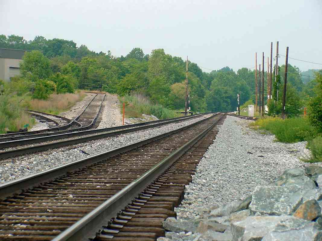
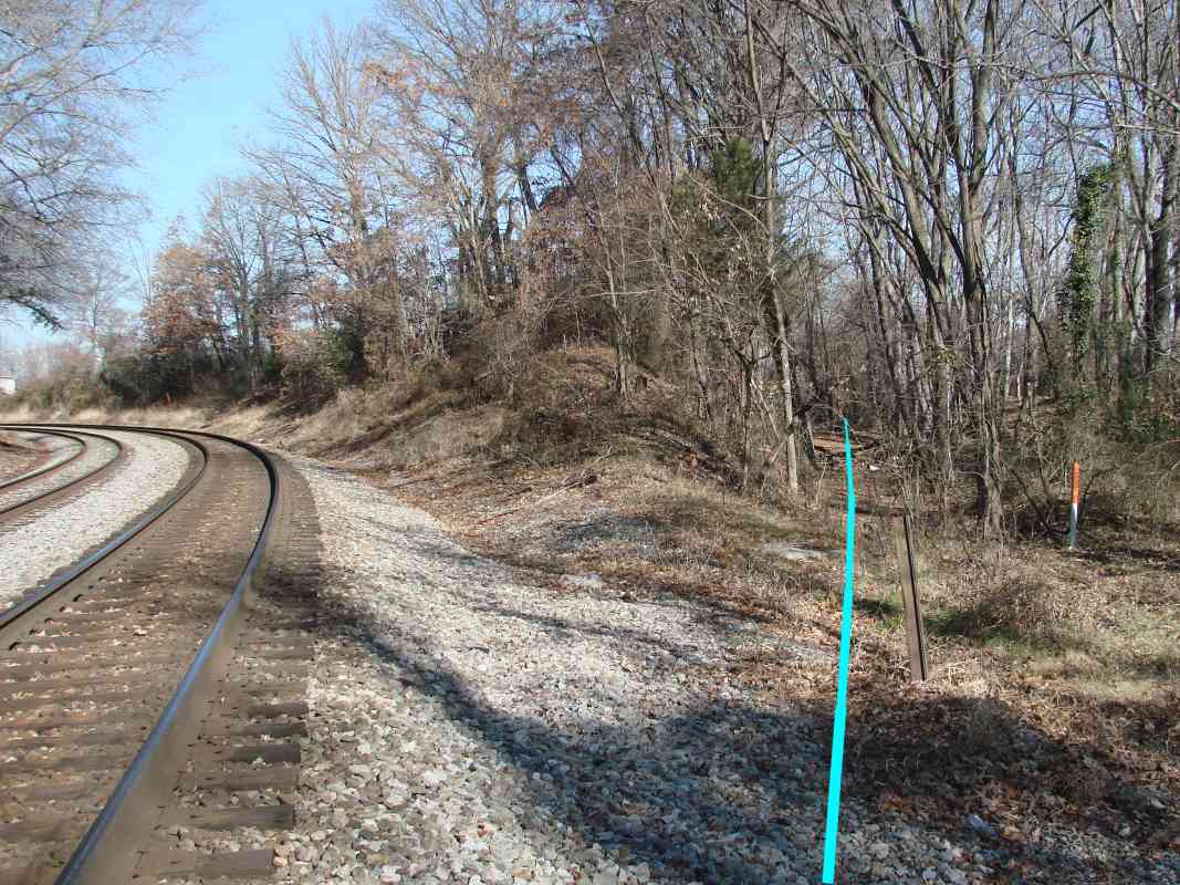
 Some grading was
done, the scars of which remain today along the southern part of the
intended right-of-way, portions of which are still held by CSX.
This is the alignment B&O should have originally chosen in the early
1830s since it is shorter, straighter, and crosses the Patapsco River at a
spot that would have been less expensive to span.
Some grading was
done, the scars of which remain today along the southern part of the
intended right-of-way, portions of which are still held by CSX.
This is the alignment B&O should have originally chosen in the early
1830s since it is shorter, straighter, and crosses the Patapsco River at a
spot that would have been less expensive to span.
Furthermore, such an alignment provided room for a wye that would have
allowed trains from Washington, DC to turn and proceed west along the OML.
That leg of the wye could have run from the present-day intersection of I-195
and US 1 to the vicinity of the Rolling Road grade separation bridge.
Without this connection, westbound passengers had to change trains, hence
B&O built the Viaduct Hotel in Relay, plus ultimately the Metropolitan
Branch from DC northwest to meet the OML at Point of Rocks.
On the map, the gray, almost-vertical cut right of center is the alignment
chosen by Baltimore & Potomac (later Pennsylvania Railroad), now used by Amtrak.
| 


