TrainWeb.org Facebook Page
B&O Washington Branch Photo Tour


B&O Washington Branch
Modern day photo tour

Accompanying each photo below are:

Click a photo to see a larger view. Please send your comments and corrections to Steve.


Brief Historical Background: Laurel Park

Aerial 1952
Photo courtesy Johns Hopkins University

Aerial 1952
Mile: 21 (center) Date: 1952
Ease: View: N (up)
Area: IC2:
Map: AA 4 J 13, Ho 20 A 13 Topographic Maps

Laurel Park's location near the edge of three counties puts it on many county aerial photos, but an overlay of county borders typically obscures the train station. This is the only old aerial photo I've found online that omits the border between Howard and Anne Arundel Counties.

Unfortunately, the resolution is too low to see much of B&O's stop here, which is at photo center above the park's Grandstand. There appears to be only one passageway under the railroad. A second would join it the following year.


Aerial 1938
Photo courtesy Johns Hopkins University

Aerial 1938
Mile: 20, 21 Date: 1938
Ease: View: N (up)
Area: IC2:
Map: Ho 20, AA 4 Topographic Maps

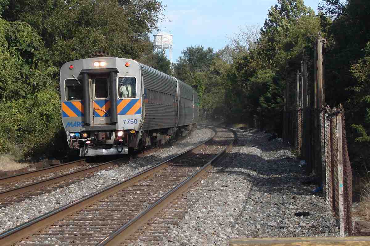
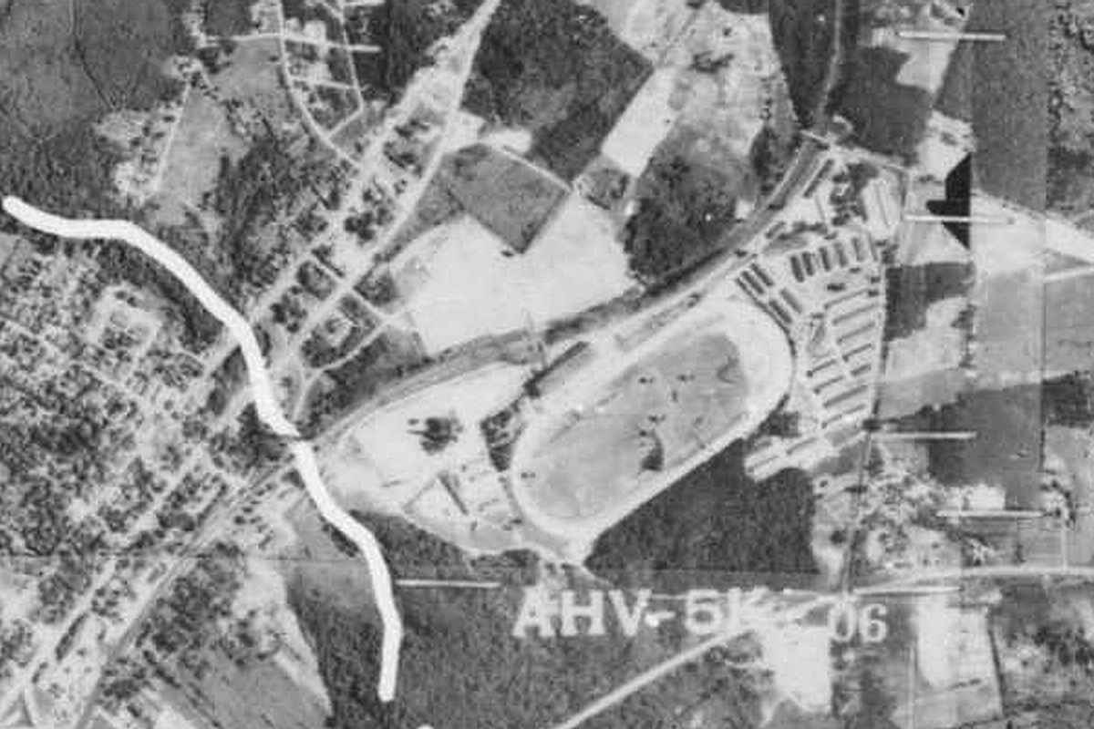
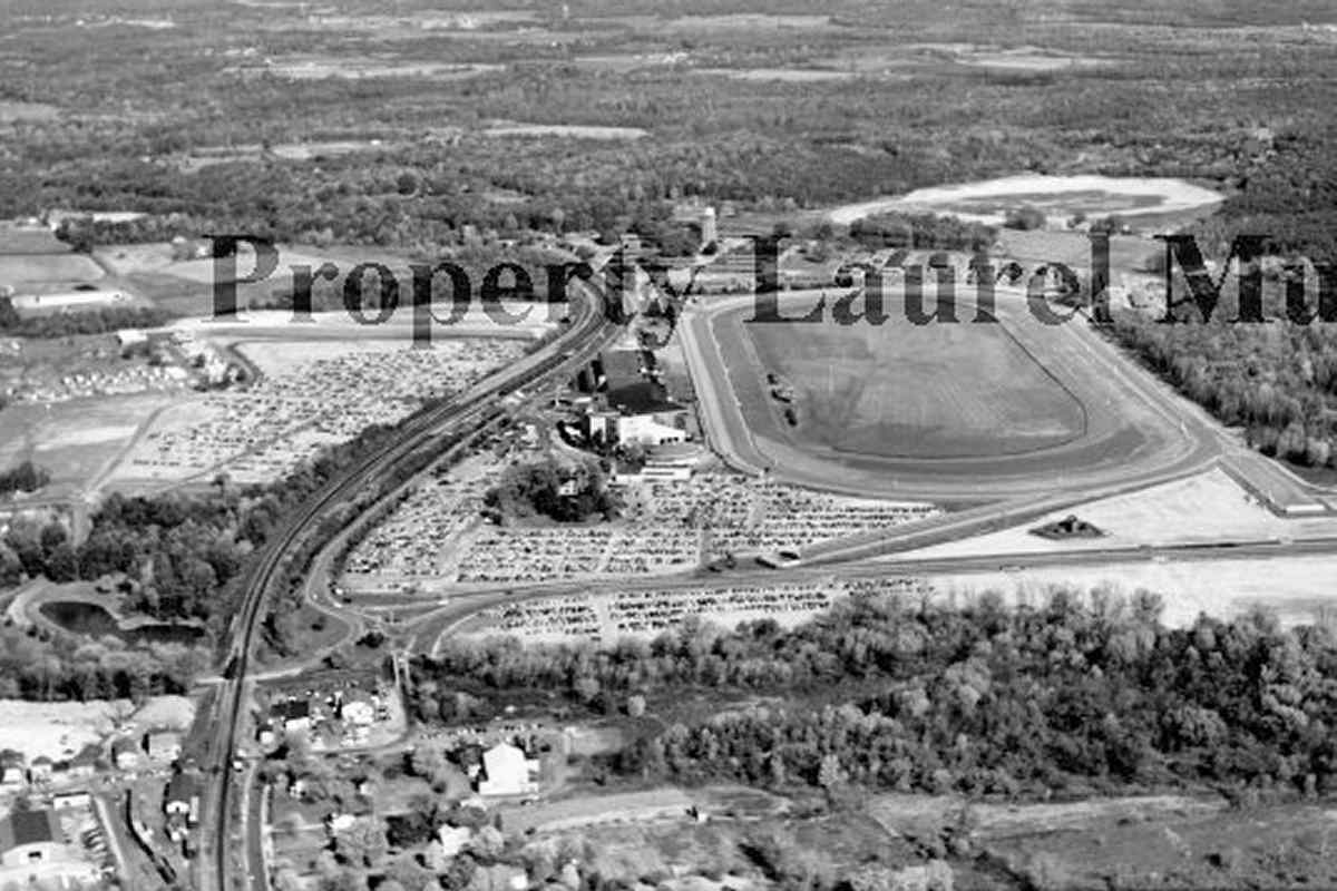
Black crayon obscures boundaries on this aerial from 1938. US 1 has not yet been twinned.

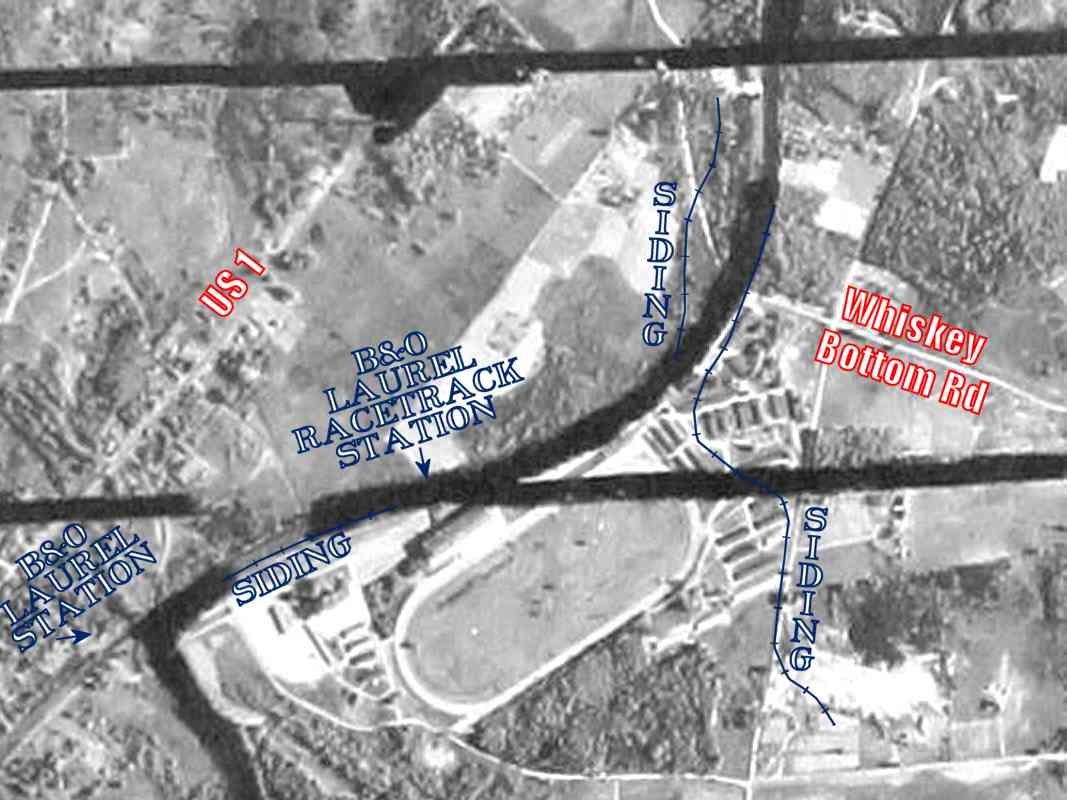
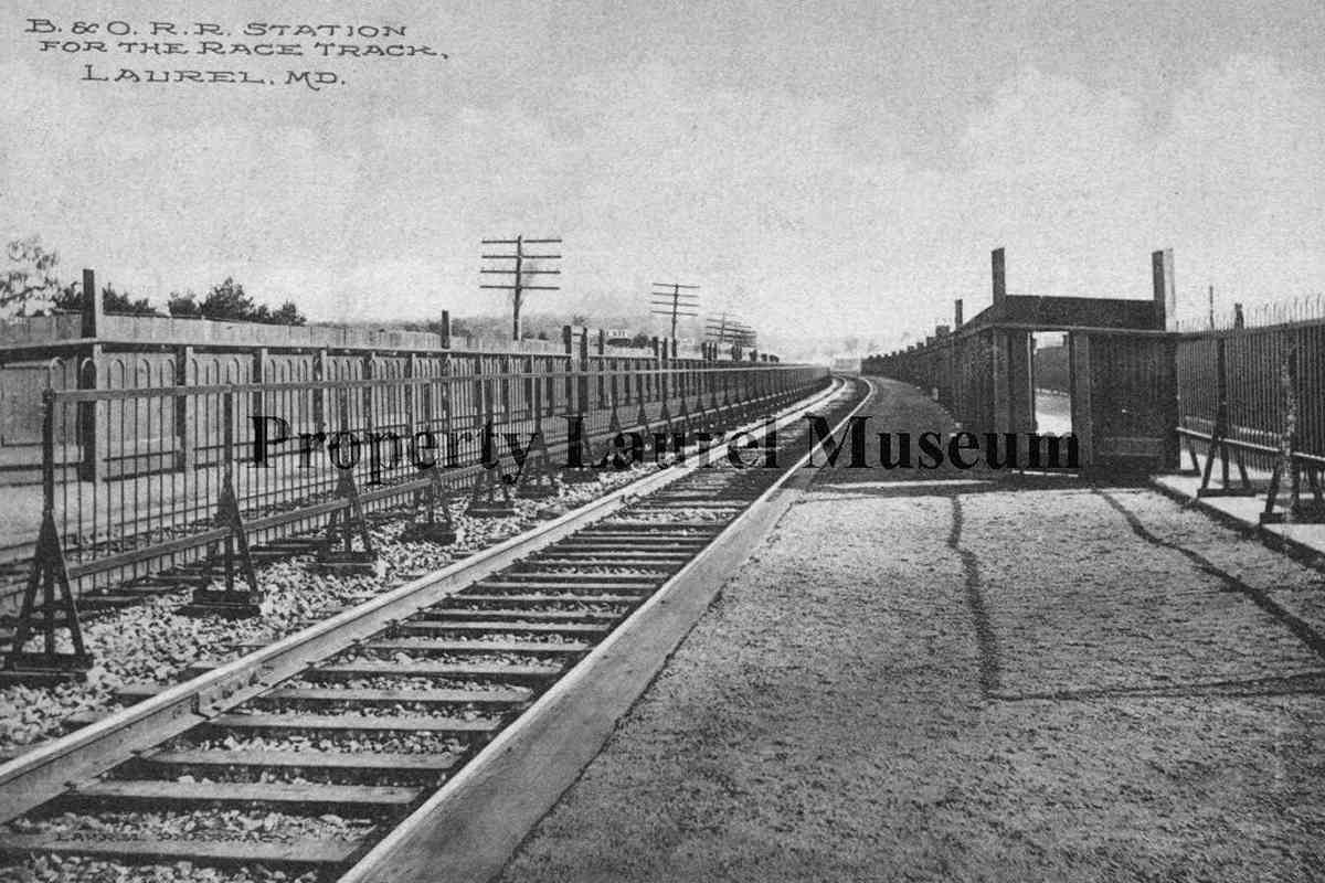
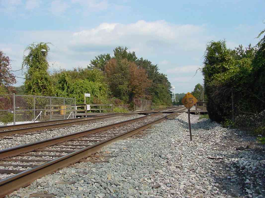
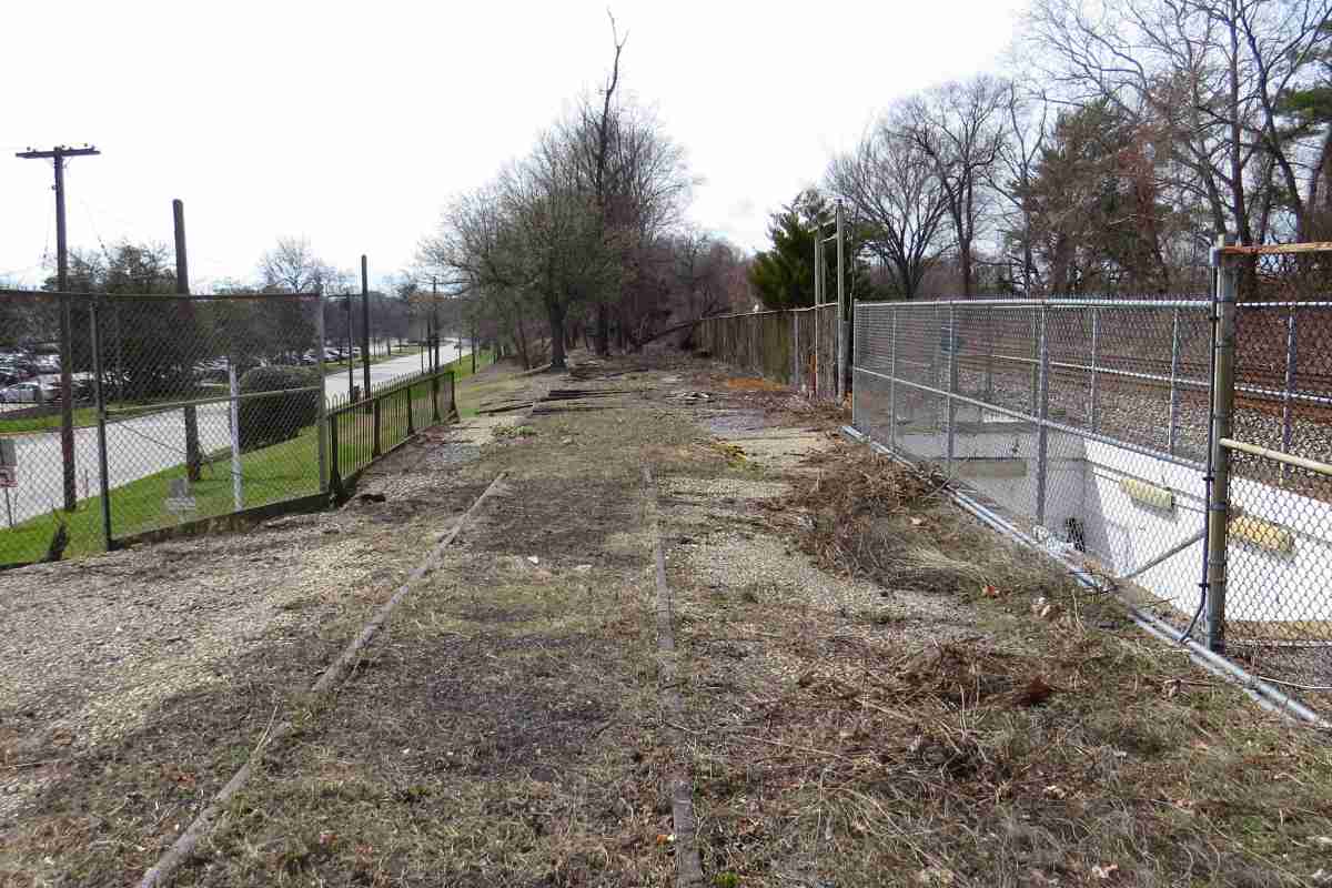
The longest B&O siding (the one on the right that wandered south) may have served a quarry that predated Laurel Park. Though the quarry appears on topographic maps from 1905 to 1945, there is no evidence of it in this aerial. Site visits similarly turned up no surviving artifacts.

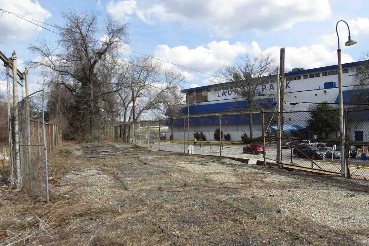
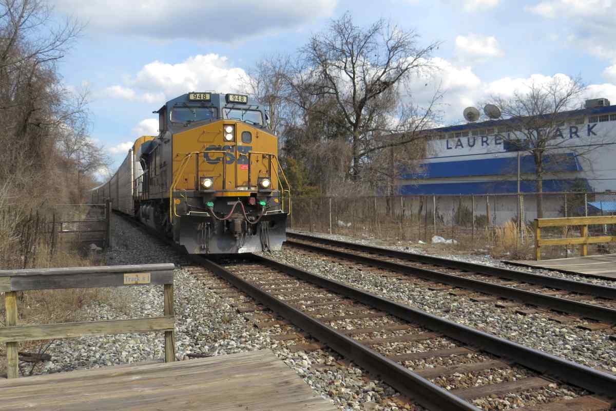
Sources put Laurel Speedway, a wooden race track for automobiles and bicycles, in the vicinity of the intersection of MD 198 and MD 197, a location at the lower left corner of this aerial. A Sun newspaper account reports B&O built a spur to serve it, but I can't pick it out on this aerial or any topo map. In any case, the Speedway was short lived.

Links: quarry 1907, 1925 pic, 1925, biker 1925, bike race 1925


Aerial 2022
Photo courtesy Google

Aerial 2022
Mile: 20.9 Date: 2022
Ease: View: N (up)
Area: IC2:
Map: AA 4 J 13, Ho 20 A 13 Topographic Maps

I have sketched in light blue the approximate route of former sidings for passenger trains stopping at Laurel Park. Both extended roughly 1800 feet along the outside of the B&O/CSX main line. I believe the siding for track 2 (south side) was a stub that did not connect with the main at its west end. At one time it might have been used to deliver supplies, and even horses. The two small, light blue rectangles outline staircases. Bits of all this survive as shown below.


Overview
Photo courtesy Laurel Historical Society

Overview
Mile: 20.9 (center) Date: ~1960
Ease: View: N
Area: IC2:
Map: AA 4 J 13 Topographic Maps

Two separate passageways under the railroad are visible within the bright stripe above "Property" in this view of the race track. They serve as handy reference points because they are near the center of the sidings. All trains that stop here do so near the underpasses.

Part of US 1 cuts across the upper-left corner. As indicated, certain photos are included here with the kind permission of the Laurel Historical Society. I recommend visiting their museum where you will find informative displays and a capable, friendly staff.

Links: source photo, Laurel Historical Society


Race Course
Photo courtesy Laurel Historical Society

Race Course
Mile: 20.9 Date: ~1960
Ease: View: S
Area: IC2:
Map: Ho 20 A 13, AA 4 H 12 Topographic Maps

The field north of the railroad has long served as overflow parking. Crowds would mass at what was called Laurel Race Course back when horses carried the only legal gambling to be found in the region.

Link: source photo


Underpasses 1960
Photo courtesy Laurel Historical Society

Underpasses 1960
Mile: 20.9 Date: ~1960
Ease: View: N
Area: IC2:
Map: AA 4 J 13, Ho 20 A 13 Topographic Maps

This page would not exist if racegoers had not also arrived by train.

The two inner tracks were B&O's main line, now part of CSX's Capital Subdivision. Passenger trains paused on two outer tracks. The nearest track (south of the main) was probably a stub that ended off photo left behind the B&O locomotive. The farthest track (north of the main) had connected with the main at both ends.

Chain link fences separate the main from the outer tracks. The wide stairway appears to be blocked by such a fence. The fences may date to 1953 when a second underpass with its own stairway was added. The race track opened its own new facilities that year.

Links: source photo, 1953 NY Times mention


Billy Barton

Billy Barton
Mile: 20.9 Date: Dec 2023
Ease: A View: N
Area: B+ IC2: 423
Map: AA 4 J 13, Ho 20 A 13 Topographic Maps

race track 2001 A statue of famous Maryland thoroughbred Billy Barton stands doubly trackside (railroad and racing) to welcome visitors. The disused stairs behind the horse's nose are relics of the race track's former life as host of the Laurel Four County Fair.

Whether Laurel Park once also served as home for THE Maryland State Fair is uncertain in part because during the 1800s multiple venues promoted themselves as State Fair. The Maryland State Fair that presently operates in Timonium makes no mention of Laurel within its history page online.

At minimum, per the link below, annual meetings of Maryland State Fair, Inc. were held at Laurel Park during the 1920s. A Form 6 Station List issued by B&O during 1889 has no station here, however the one issued 1917 names this stop "Md. State Fair Grounds."

Links: 1925 annual meeting ticket, Maryland State Fair history


Station 1914
Photo courtesy Laurel Historical Society

Station 1914
Mile: 20.9 Date: 1914
Ease: A- View: NE
Area: B+ IC2:
Map: AA 4 J 12, Ho 20 A 13 Topographic Maps

Preceding the chain link fences were these made of wood when the station was new. B&O was rightly concerned people would hop off to rush to the races and fail to look both ways when crossing the main. Fences redirect people to underpasses.

Links: source photo, ~1930


Laurel Racetrack

Laurel Racetrack
Mile: 20.9 Date: Oct 2003
Ease: B+ View: NE
Area: B+ IC2:
Map: AA 4 J 13, Ho 20 A 13 Topographic Maps

This was much the same view about 90 years later.

I have yet to find documentation of the disuse of the outer tracks. That probably happened around 1971 when I-95 opened in this part of Maryland and when states along B&O's route began offering lotteries (New York in 1967, New Jersey 1970, Maryland 1973).


MARC Stop

MARC Stop
Mile: 20.9 Date: Dec 2023
Ease: A- View: NE
Area: B+ IC2:
Map: Ho 20 A 13, AA 4 J 12 Topographic Maps

The stop has more signage than it did 20 years earlier but is looking threadbare while waiting on its replacement. Note the yellowing, peeling signs at right.


Evolving Names

Evolving Names
Mile: 20.9 Date: Mar 2022
Ease: A- View: S
Area: B+ IC2:
Map: Ho 20 A 13, AA 4 J 12 Topographic Maps

MARC station signage reads Laurel Racetrack but MARC maps name it Laurel Park.

Paddock Pointe is taking shape in the background -- in Howard County. The development was to be named Laurel Park Station, but Prince George's County, home to Laurel's fine, historic B&O station grew concerned developers wanted MARC to move Laurel's primary train stop from there to here. A compromise agreement calls for a new station here with limited MARC service. I thought a reasonable compromise would have been a trackside walkway from here to the historic Laurel Station. It would roughly halve the present walking distance to about four furlongs (a half mile).

Links: concerns, compromise


Rails

Rails
Mile: 20.9 Date: Mar 2022
Ease: A- View: E
Area: B+ IC2:
Map: AA 4 J 12, Ho 20 A 13 Topographic Maps

bishop crook lamp Rails for the stub (south outside) track remain on site. They might be the originals. I looked for forging dates but the rails are too deeply buried.

Though bishop crook style lamps like that at right were in vogue during the early 1900s, they do not appear in the 1914 station photo, so these came later.

The chain link fence at left between the main and sidings has sliding gates that could open if demand from passenger trains on the center tracks warranted.


MARC 7750

MARC 7750
Mile: 20.9 Date: Oct 2018
Ease: A- View: E
Area: B+ IC2:
Map: AA 4 J 12, Ho 20 A 13 Topographic Maps

MARC 20 and MARC 33 were pushing.

A curiousity: only westbound MARC trains stop here, and then only three per day if flagged by a passenger. You can arrive here from Baltimore by train, but you can't go back; instead, you'll need to catch a MARC train at Laurel's downtown station, about a mile from here via a circuitous route. The plan calls for more trains to stop at the new station.

I speculate the fencing on the right dates to 1953 when a vehicular underpass was added.


Gates

Gates
Mile: 20.9 Date: Oct 2018
Ease: A- View: E
Area: B+ IC2:
Map: Ho 20 A 13, AA 4 J 12 Topographic Maps

That fencing has eight gates spaced 55 feet apart. Most B&O passenger coaches were 60 to 75 feet long. Perhaps the gates were spaced 55 feet apart to be less likely to line up with the doors on the coaches, which would probably cause passengers to walk more slowly and carefully.

Note these gates are between the inner (main line) tracks and the siding, so were probably opened only when there were more trains to the race course than could fit on the sidings.


1911

1911
Mile: 20.9 Date: Oct 2018
Ease: A- View: W
Area: B+ IC2:
Map: Ho 20 A 13, AA 4 J 12 Topographic Maps

The pedestrian underpass dates to 1911, three years before horse racing began at Bowie, about 10 miles southeast. A separate underpass intended for vehicles is dated 1953. Both are shown below.


Low Ceiling

Low Ceiling
Mile: 20.9 Date: Oct 2018
Ease: A- View: S
Area: B+ IC2:
Map: Ho 20 A 13, AA 4 J 12 Topographic Maps

You need to stand less than 6 feet tall to comfortably walk through. People average about 2.5 inches (10 cm) taller now than when this underpass was built.

Part of Billy Barton's statue is visible beyond the left end of the underpass. He, too, would have to duck to get through.

Link: about Billy Barton


Vehicles Only

Vehicles Only
Mile: 20.9 Date: Mar 2022
Ease: A- View: S
Area: B+ IC2:
Map: Ho 20 A 13, AA 4 J 12 Topographic Maps

The vehicle underpass was closed when development began on the Howard County side.


Closed Stairway

Closed Stairway
Mile: 20.9 Date: Dec 2023
Ease: A- View: S
Area: B+ IC2:
Map: Ho 20 A 13, AA 4 J 12 Topographic Maps

The stairway down from track 1 awkwardly leads into the path of vehicles, which may be why it was closed in favor of the older stairway.


1953 Revision

1953 Revision
Mile: 20.9 Date: Oct 2018
Ease: A- View: W
Area: B+ IC2:
Map: Ho 20 A 13, AA 4 J 12 Topographic Maps

The vehicle underpass dates to 1953. Though the outer track's location on the right was overgrown at photo time, it might be revived for MARC commuter trains as part of the redevelopment that began here during 2019.

Link: 1950s


Original Fencing

Original Fencing
Mile: 20.9 Date: Mar 2022
Ease: A View: N
Area: B+ IC2:
Map: AA 4 J 13, Ho 20 A 13 Topographic Maps

The fence above the pedestrian underpass employs a style popular with railroads around 1900. Some is visible in the 1914 and 1960 photos above. This is the longest stretch of it that remains extant along the former B&O line. A much longer run was removed from Ellicott City during the 1990s.

Link: fence at Ellicott City 1992


Embedded

Embedded
Mile: 20.9 Date: Mar 2022
Ease: A- View: W
Area: B+ IC2:
Map: AA 4 J 13, Ho 20 A 13 Topographic Maps

That's the same fence segment at left. Siding rails have gone unused about 50 years, but remain in place, embedded deeply enough in crumbling tarmac to hide their forging year. These relics will likely be discarded when the new station is constructed. The stairway on the right leads to the pedestrian underpass.


CSX 948

CSX 948
Mile: 20.9 Date: Mar 2022
Ease: A- View: E
Area: B+ IC2:
Map: Ho 20 A 13, AA 4 J 12 Topographic Maps

CSX 948 proceeds westbound on Track 1. By convention, tracks most often used by westbound or southbound trains are assigned an odd number.


North Side

North Side
Mile: 20.9 Date: Mar 2022
Ease: A- View: SW
Area: B+ IC2:
Map: Ho 20 A 13, AA 4 J 12 Topographic Maps

The north siding's rails were removed to make for easier station access. There's still a patch of leftover ballast (left).


Paddock Pointe

Paddock Pointe
Mile: 20.9 Date: Jan 2021
Ease: A View: SE
Area: B+ IC2:
Map: Ho 20 A 13 Topographic Maps

zoom The artist's concept drawing of the development includes a pedestrian overpass, which suggests the underpasses will be closed.

If you care to see Laurel Park Station in the layout that has existed since the mid-20th century, do not delay. Construction of the new station will probably begin before 2030.


From Laurel
Photo courtesy Laurel Historical Society

From Laurel
Mile: 21.5 Date: 1961
Ease: View: NE
Area: IC2:
Map: PG 4 H 4 Topographic Maps

Reportedly, the race track was a favorite of FBI Director J. Edgar Hoover during his trips to Laurel. For a period, J. Edgar's father stayed at Laurel Sanitarium, which was off photo left.

Laurel Station can be found at lower left, and beyond it the B&O bridge across the Patuxent River. To the right was Race Track Bridge for automobiles.

Link: source photo


Race Track Bridge
Photo courtesy Laurel Historical Society

Race Track Bridge
Mile: 21.4 Date: 1955
Ease: View: NE
Area: IC2:
Map: PG 4 J 3 Topographic Maps

Track access and egress by the throngs was hampered by not only the railroad along the northwest but also the Patuxent River along the southwest. Race Track Bridge, seen in the lower left corner of this image, spanned the latter about 500 feet downstream of the railroad bridge, which is off photo left. The bridge washed away in 1972's Agnes floods and was never rebuilt. A 2023 site visit turned up no bridge artifacts.

Links: source photo, ~1930


Thanks for following along.

Resume along main line.

Or, return to main page


Copyright Notice