TrainWeb.org Facebook Page
B&O Washington Branch Photo Tour


B&O Washington Branch
Modern day photo tour

Accompanying each photo below are:

Click a photo to see a larger view. Please send your comments and corrections to Steve.


<< Previous (east) | THIS PAGE: Washington Corridor Industrial Park | Next (main line, west) >>

Brief Historical Background: Washington Corridor Industrial Park

Aerial
Photo courtesy Google

Aerial
Mile: 18.7 Date: 2002
Ease: View: N (right)
Area: IC2:
Map: Ho 20 E 8, AA 5 B 8 Topographic Maps

About two miles worth of track, dark blue, extends into the Corridor Industrial Park and Junction Business Park. "Stems" #1 to #4 are depicted via photos below.


Branch Start

Branch Start
Mile: 18.7 Date: Oct 2003
Ease: B View: W
Area: B IC2:
Map: Ho 20 E 10 Topographic Maps

Brock Bridge Road parallels the main on the left, but is too low to provide a view of this spur.

Reader Al Moran filled in some details:

    The track that parallels the mains west from Jessup to Savage is called the Westbound Storage Track and the track to the Corridor Industrial Park comes off of it. You are right in that you can't see it from the road because it is at a lower elevation then the main. At one time, there were at least 20 customers up there but now there is only one, Hannah Paper.


Run-Around Track

Run-Around Track
Mile: 18.7, spur 0.1 Date: Oct 2003
Ease: B View: N
Area: B IC2:
Map: Ho 20 E 9 Topographic Maps

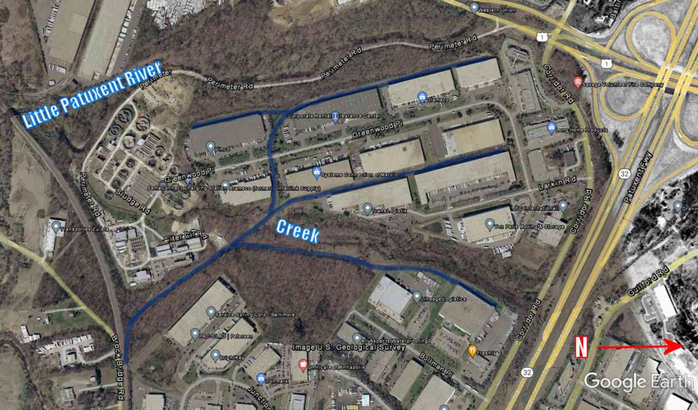
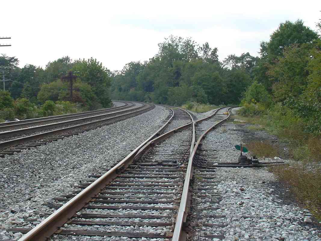
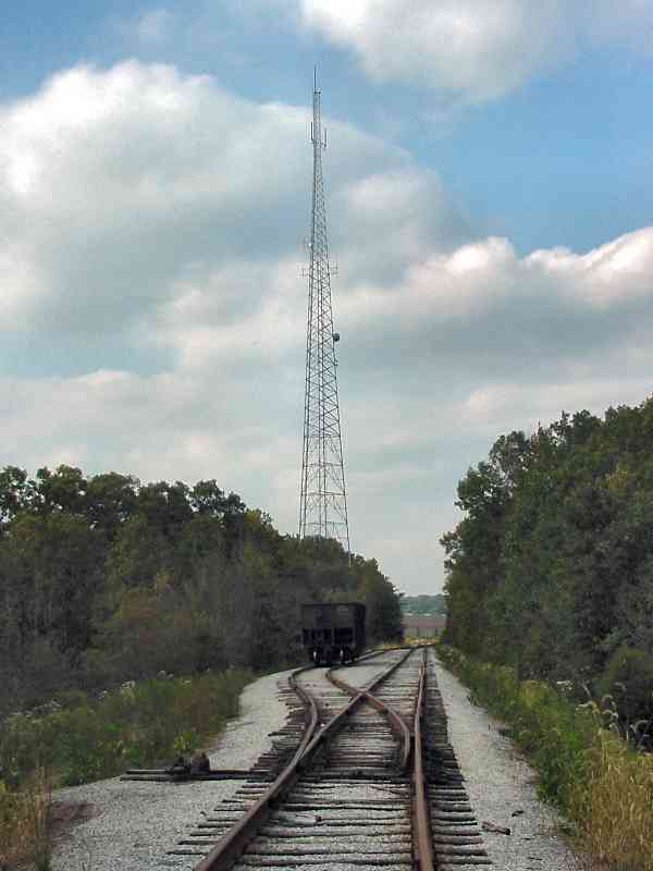
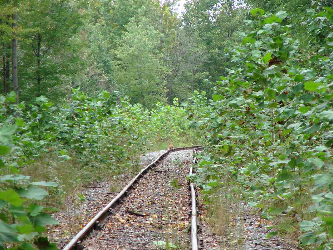
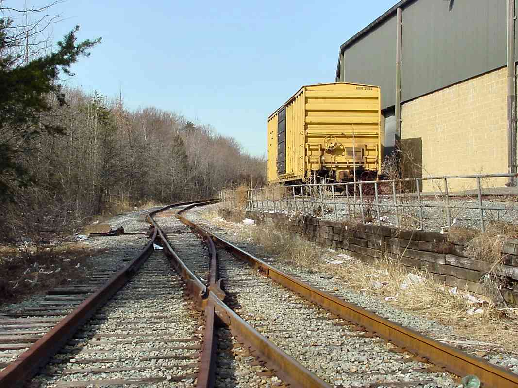
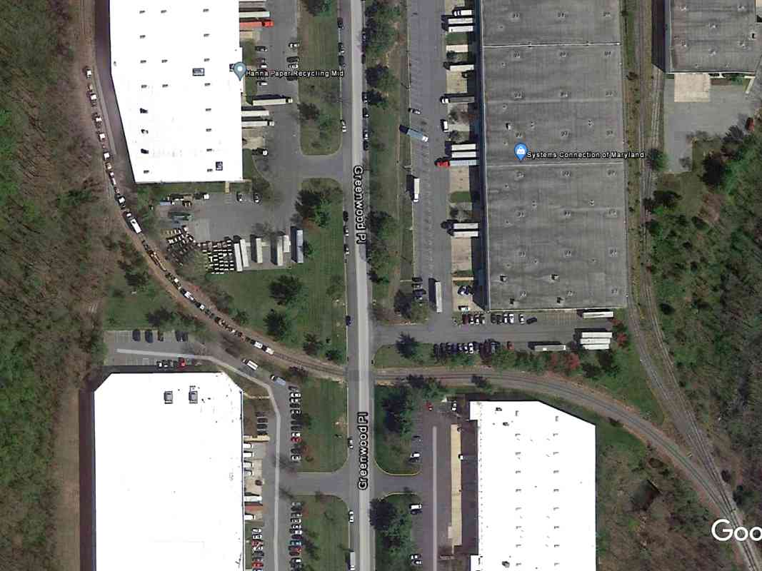
A coal hopper is just visiting the run-around track. A run-around permits a crew to set off a short consist, flip the track switches, then reposition the engine at the other end of that consist. 
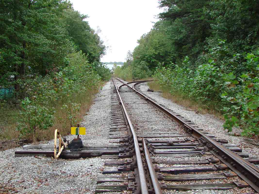
Such a track is needed when cars being pulled here need to be pushed to complete a delivery at an end of the branch.
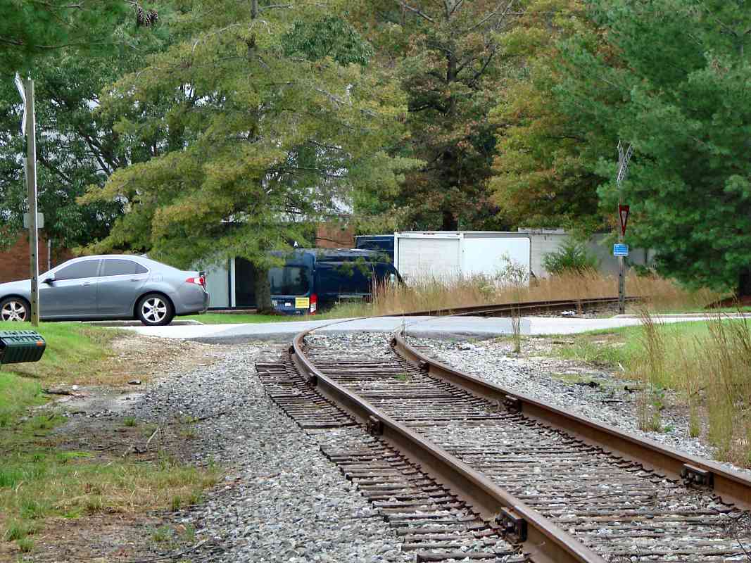
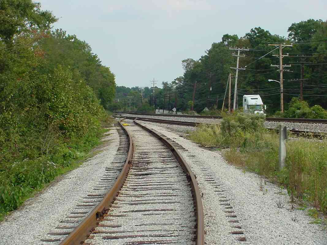
In the background, someone is very serious about getting good TV reception. (Anyone know who operates this tall communications antenna?)

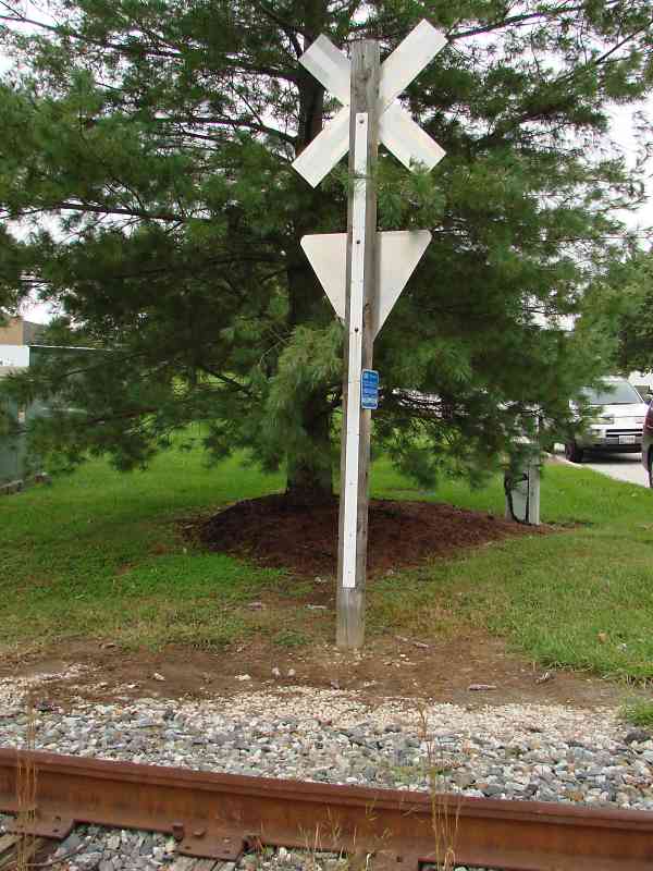
Reader Russ Forte wrote around 2005 to say:

    That antenna in the image you just posted is part of the new Police/Fire communications system for eastern Howard County. It is one of three. The second is on top of the hill by the ruins of the Patapsco Female Institute in Ellicott City, and the last one is at Howard High School. Howard High is near the 100/108/104 junction. The new tower at HHS is 650 ft. tall. There was an older tower 550 ft. tall there before. For a couple of years both towers were standing. They just tore down the old one a month or two ago.

    They built this new system because of dead spots with the old one. There was that big fire in downtown Ellicott City a few years ago and the fire department radios didn’t work and they had to use runners to relay messages.


Encroaching

Encroaching
Mile: 18.7, spur 0.3 Date: Oct 2018
Ease: B View: N
Area: B IC2:
Map: Ho 20 E 9 Topographic Maps

The branch has become a sort of tree farm, no pun intended. These trees will need trimming before their branches grow over the tracks.


Rails-to-Trees

Rails-to-Trees
Mile: 18.7, spur 0.3 Date: Oct 2018
Ease: B View: NE
Area: B IC2:
Map: Ho 20 E 9 Topographic Maps

That growth is more evident along the stem labeled #1 on the aerial. A groundhog scurries in the distance.


Creek

Creek
Mile: 18.7, spur 0.4 Date: Oct 2018
Ease: A View: NE
Area: B IC2:
Map: Ho 20 E 9 Topographic Maps

An unnamed creek flows under the branch via a large pipe. Since installation, it would appear some settling or shifting has occurred because the pipe's inlet is somewhat high, and a pond now forms after rains.


Usable

Usable
Mile: 18.7, spur 0.4 Date: Oct 2018
Ease: B+ View: N
Area: B IC2: 95
Map: Ho 20 E 9 Topographic Maps

Stem #2 is rusty but clear of foliage so has either recently hosted a train, or is vying for second prize in a beauty contest.


Jointed

Jointed
Mile: 18.7, spur 0.5 Date: Oct 2018
Ease: A- View: W
Area: B IC2:
Map: Ho 20 E 9 Topographic Maps

As this zoom view toward Greenwood Place shows, jointed rail is employed, the norm along such branches.


Greenwood Place

Greenwood Place
Mile: 18.7, spur 0.5 Date: Oct 2018
Ease: A View: N
Area: B IC2:
Map: Ho 20 D 9 Topographic Maps

In an unusual application at Greenwood Place, the crossbuck is joined by a yield sign. As chance would have it, both signs were obscured by a pine tree at photo time.


RBOX 20122

RBOX 20122
Mile: 18.7, spur 0.6 Date: Feb 2004
Ease: B+ View: N
Area: B IC2:
Map: Ho 20 D 9 Topographic Maps

Rail service along stem #3 endured into the 21st century, as demonstrated by RBOX 20122 enjoying the free parking.


Devoured

Devoured
Mile: 18.7, spur 0.6 Date: Oct 2018
Ease: B+ View: N
Area: B IC2:
Map: Ho 20 D 9 Topographic Maps

This is much the same view 14 years later. The frog at photo bottom is shown in the next photo.


Frog

Frog
Mile: 18.7, spur 0.6 Date: Oct 2018
Ease: B+ View: E
Area: B IC2:
Map: Ho 20 D 9 Topographic Maps

A forging date of November 1979 suggests stem #4 was added circa 1980.


Storm Damage

Storm Damage
Mile: 18.7, spur 0.6 Date: Feb 2004
Ease: B+ View: W
Area: B IC2:
Map: Ho 20 D 9 Topographic Maps

Stem #4 came close to being washed away by 2003's Hurricane Isabel, but was assessed for repairs and rebuilt within a year or two after this photo.


Park Place
Photo courtesy Google

Park Place
Mile: 18.7, spur 0.5 Date: Apr 2016
Ease: View: N (up)
Area: B IC2:
Map: Ho 20 D 9 Topographic Maps

Even though CSX has a monopoly on service here, a dearth of customers means stem #3 is a convenient place for the company to temporarily park Maintenance of Way equipment.


Exiting

Exiting
Mile: 18.7, spur 0.1 Date: Oct 2003
Ease: B View: E
Area: B IC2:
Map: Ho 20 E 10 Topographic Maps

As a tour bookend, here's the view where the branch exits back to the main.


<< Previous (east) | THIS PAGE: Washington Corridor Industrial Park | Next (main line, west) >>

Or, return to main page

Copyright Notice