|

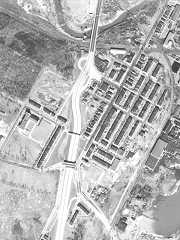
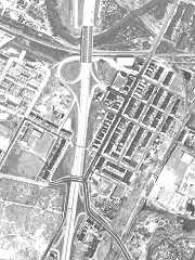

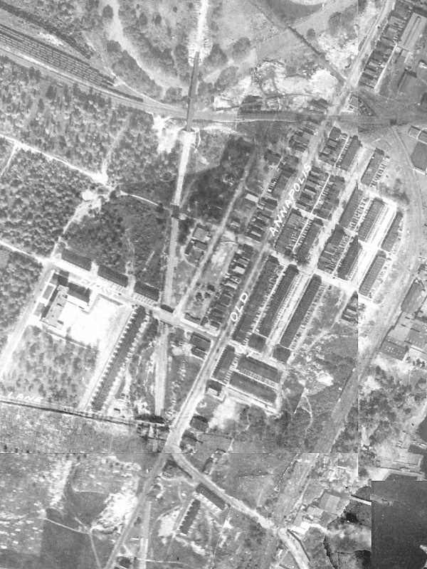
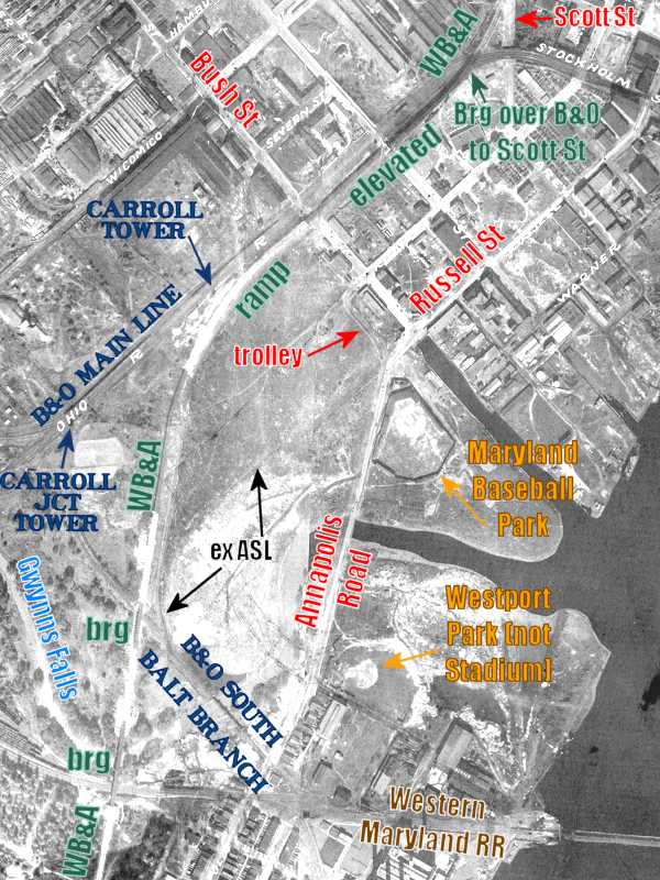
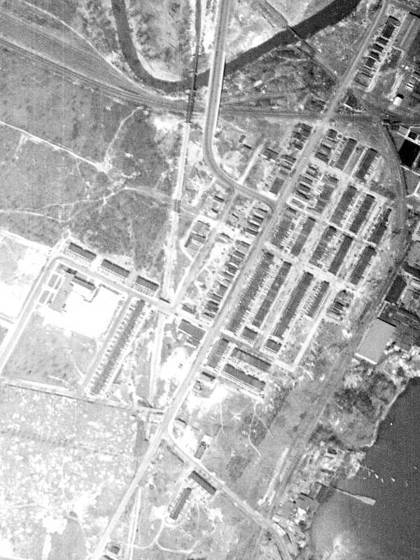
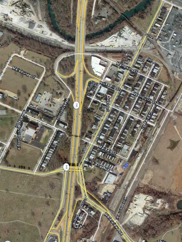
Westport, along a convenient transportation corridor south of Baltimore, has
long presented a travel bottleneck. From left to right the aerials date to
1938, 1953, 1964, 1972, and 2017.
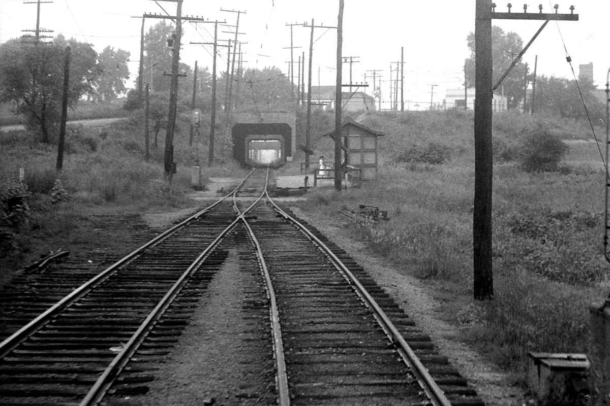
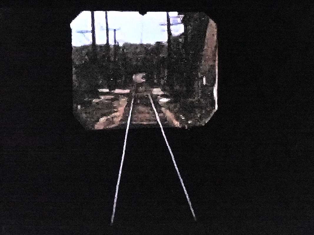
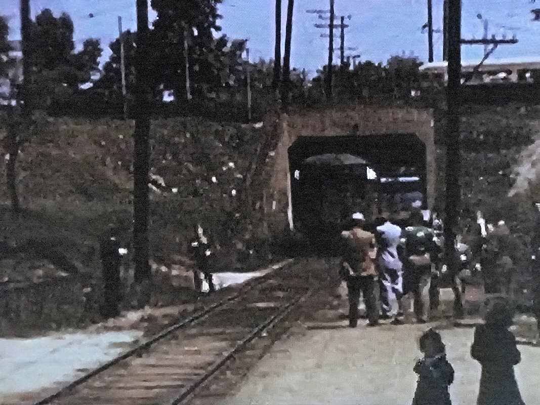
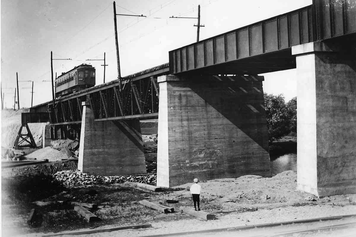
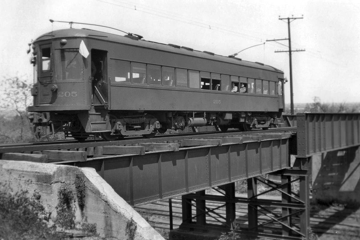
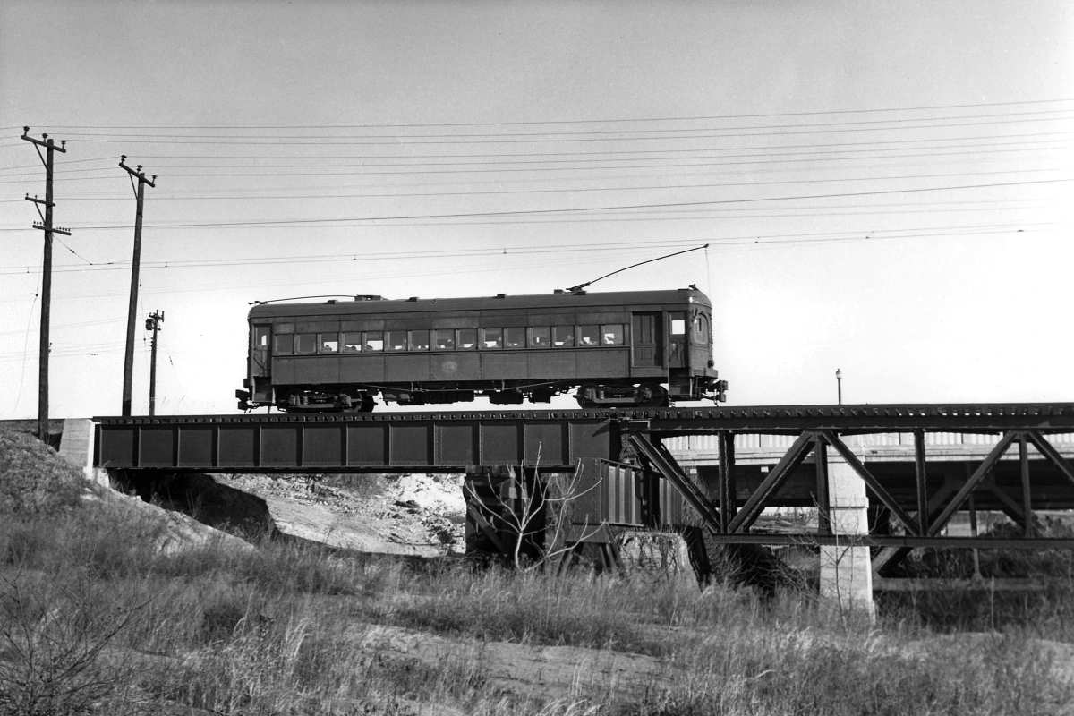
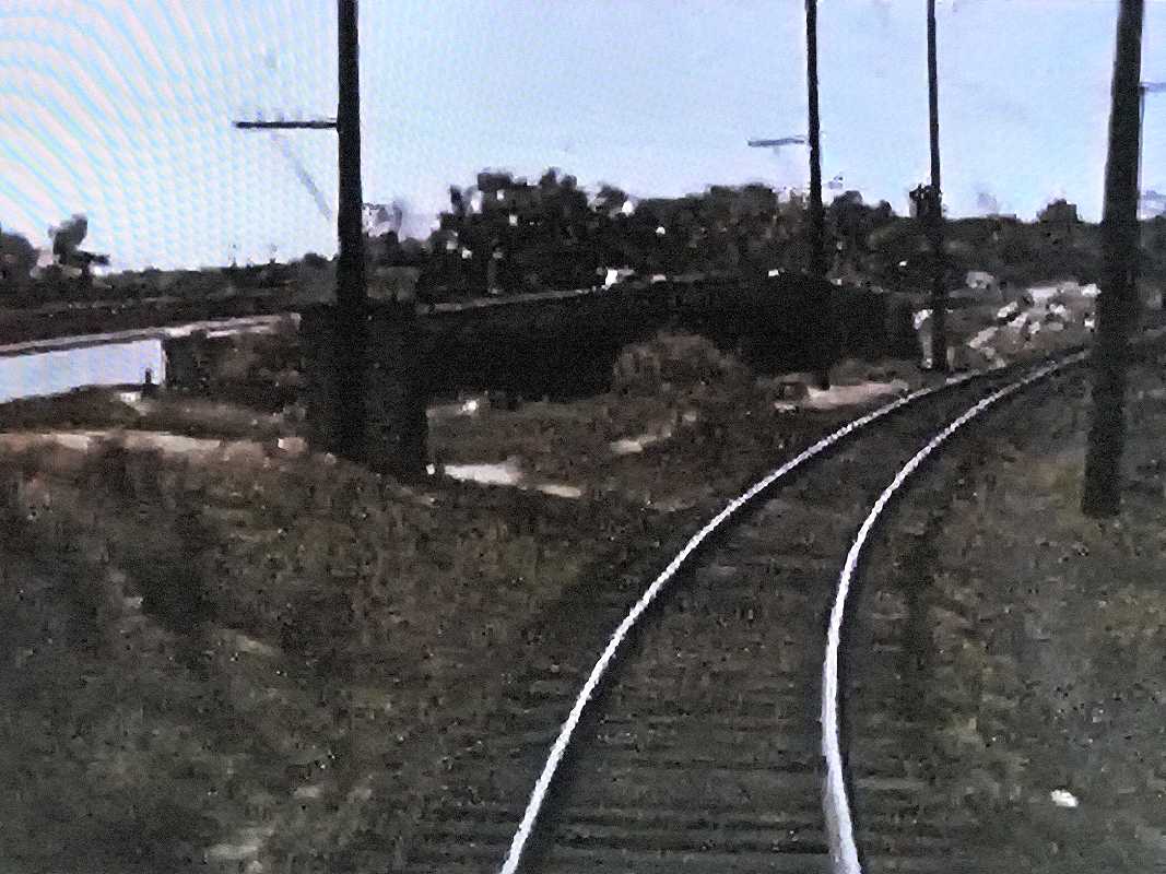
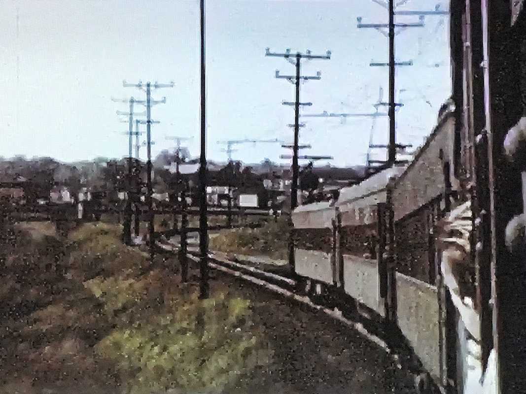
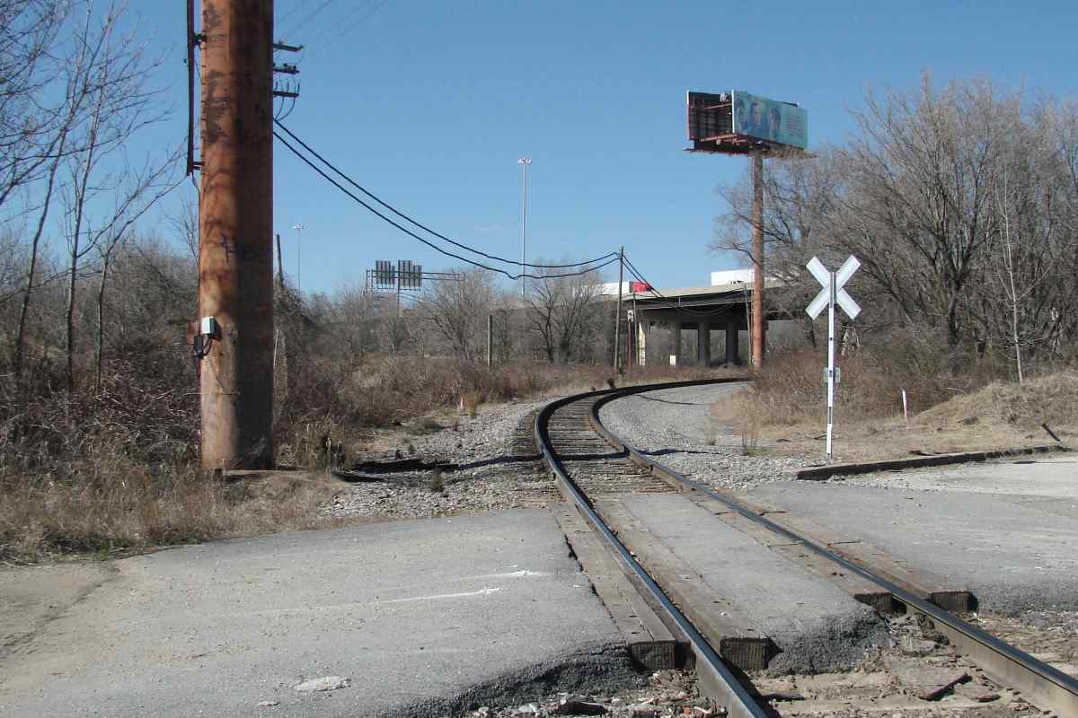
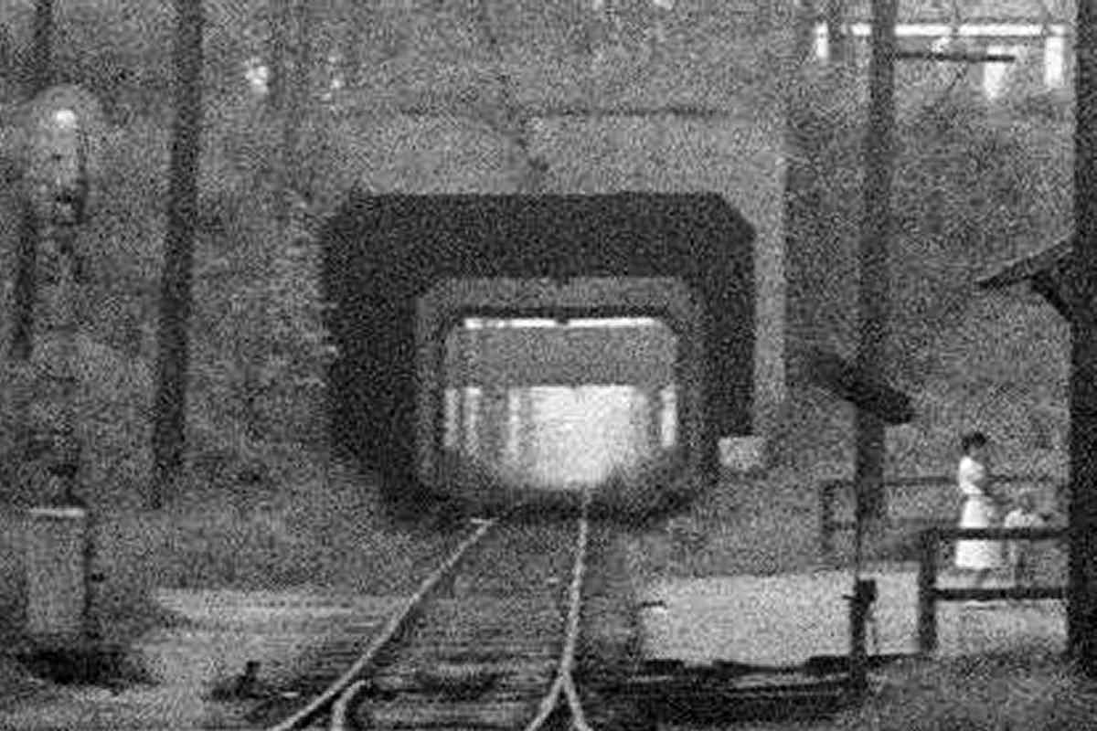
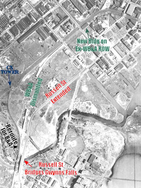
WB&A made the first cut through Westport's hill during 1907,
it is the only north-south route visible in the 1927 aerial.
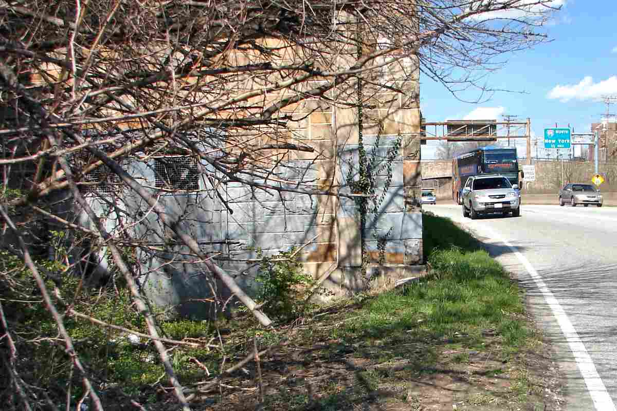
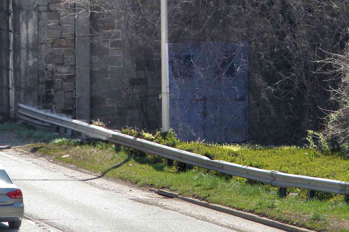
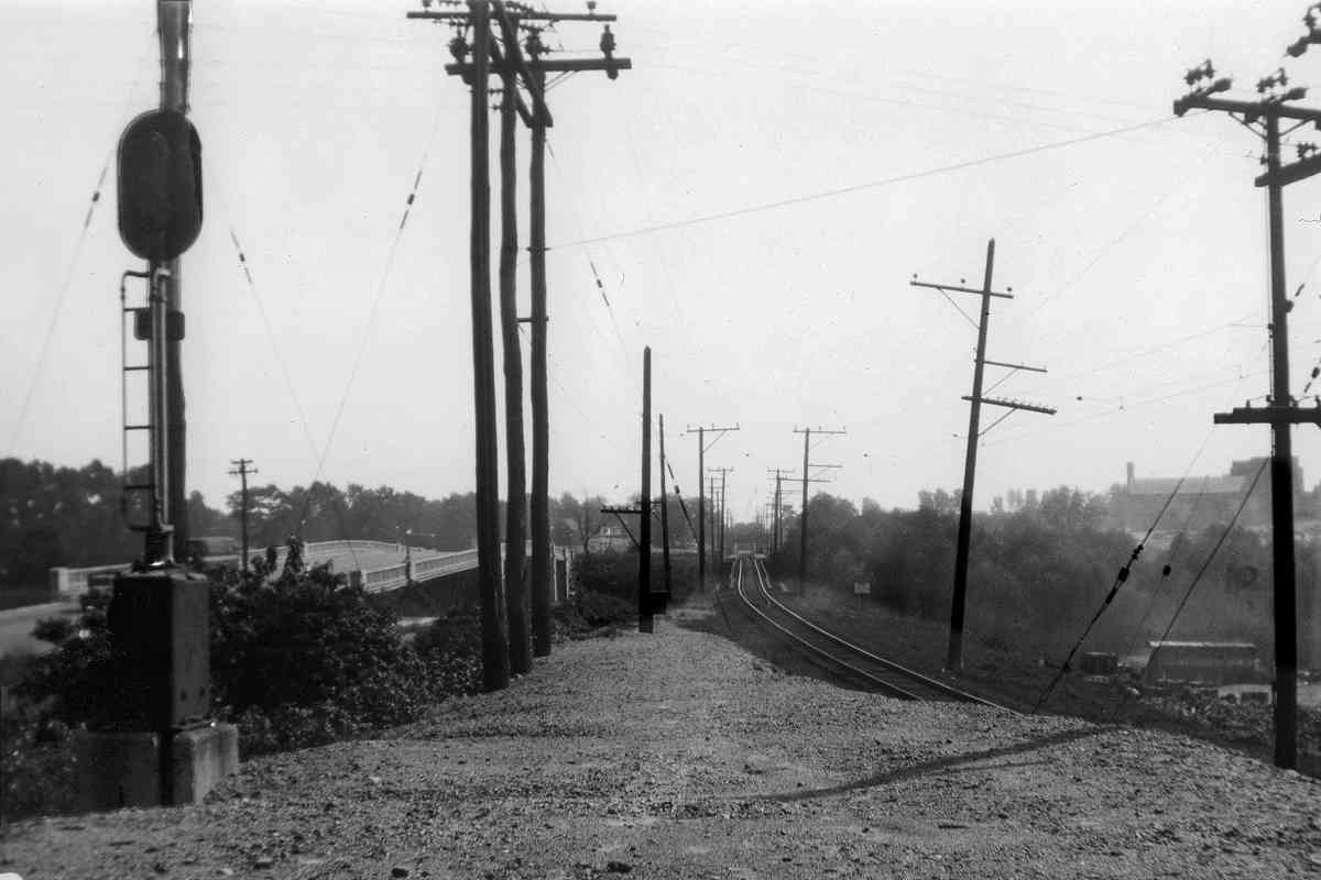
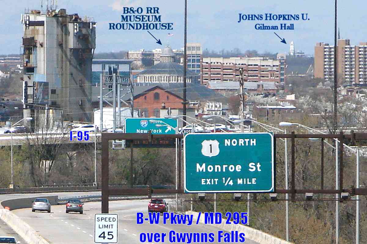
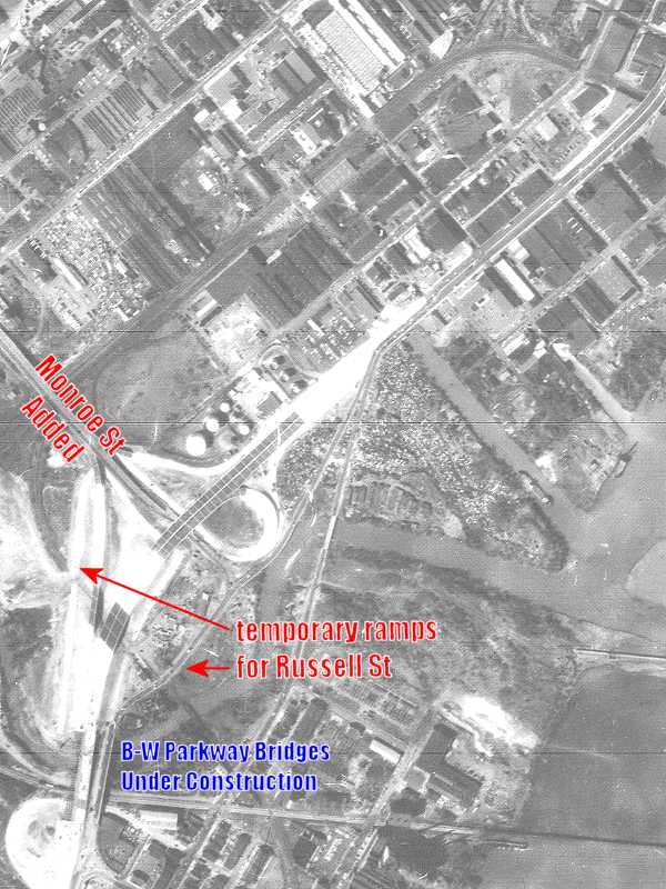
Russell Street had sidled up alongside at Gwynns Falls by 1938. Come
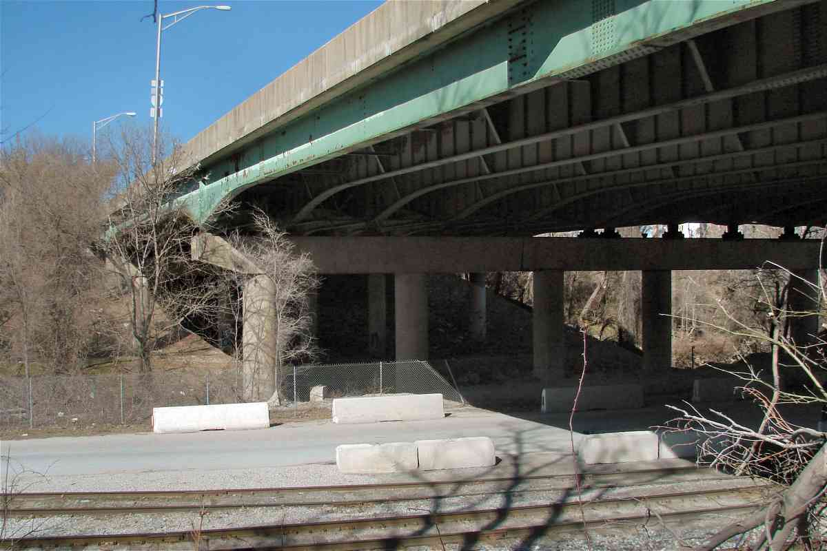
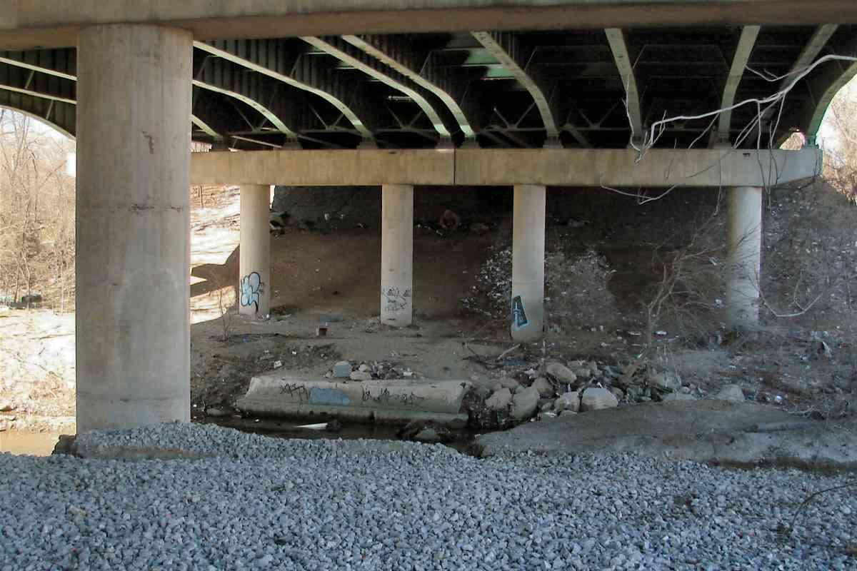
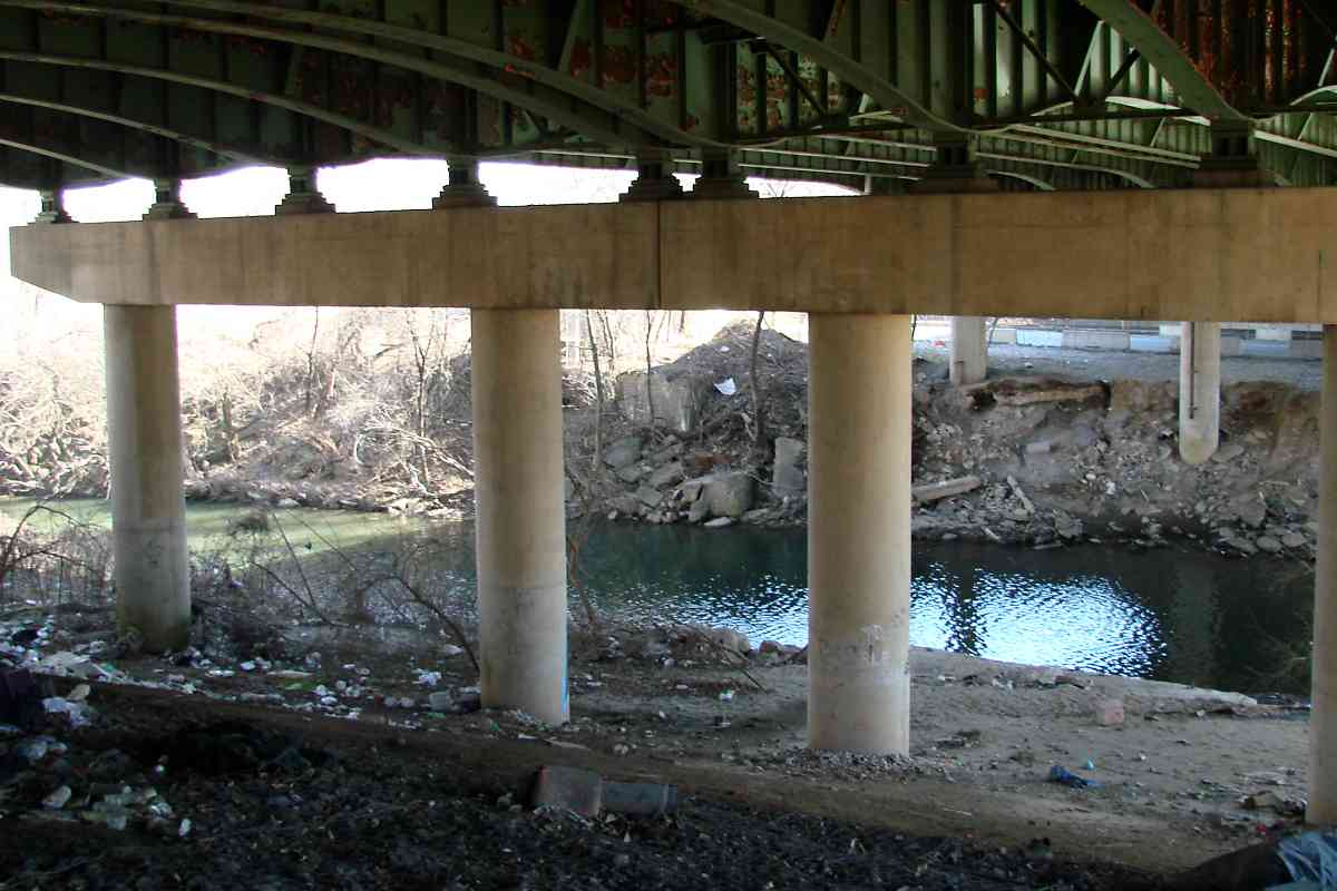
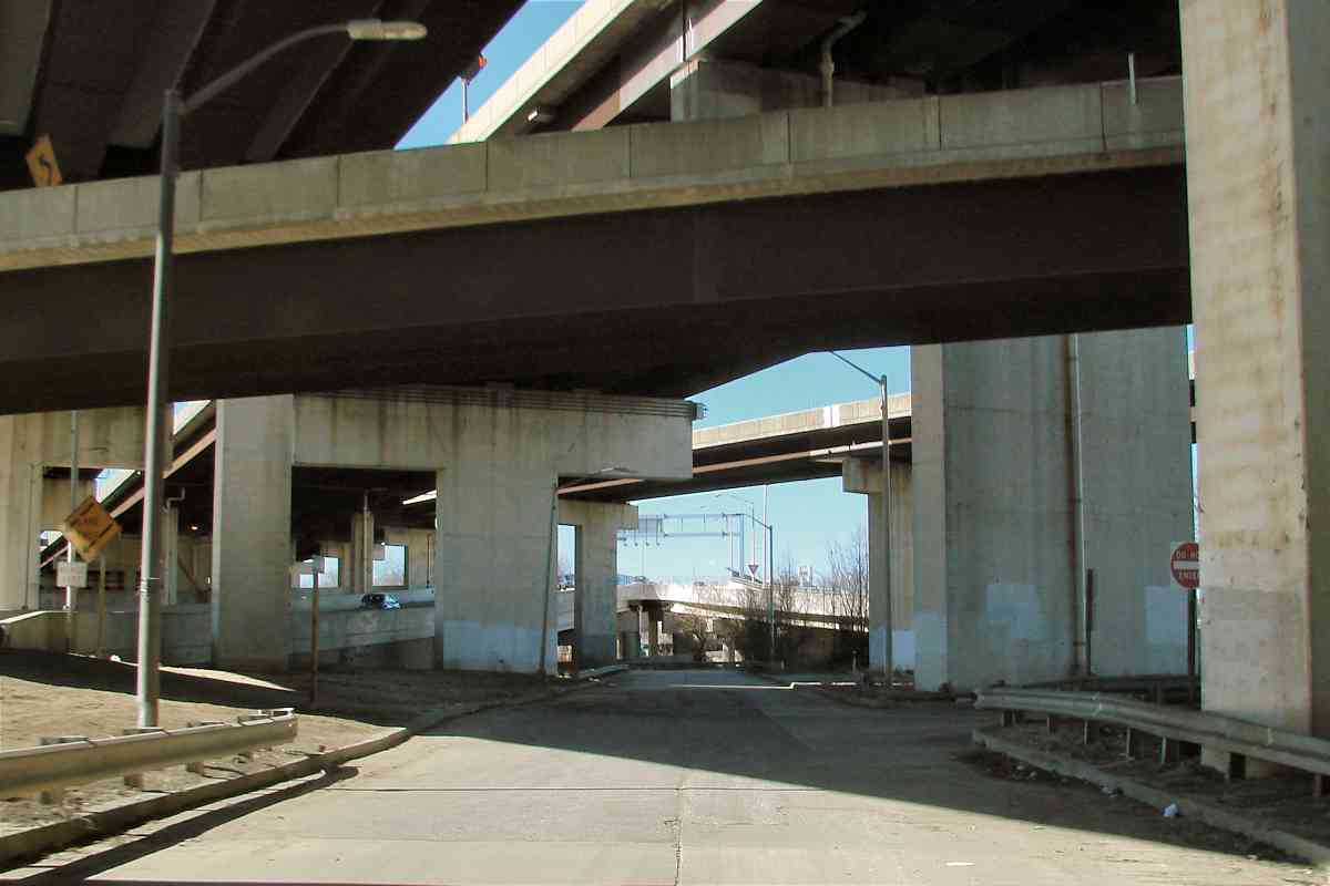
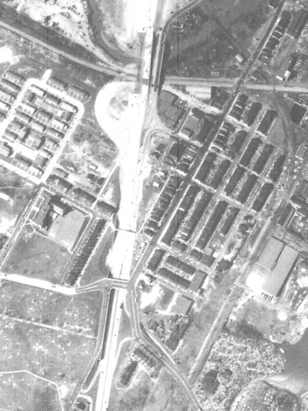
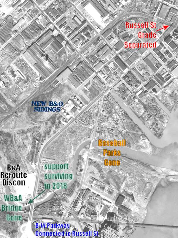
1953, WB&A's bridges were gone, while a weaving B-W Parkway connected to
Russell Street. The Parkway was busy getting its own bridge across
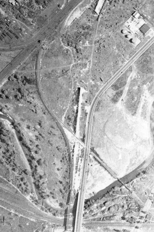
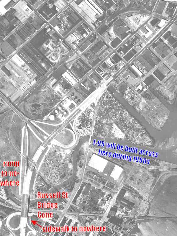
the Falls during 1964.
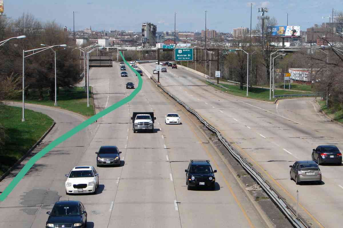
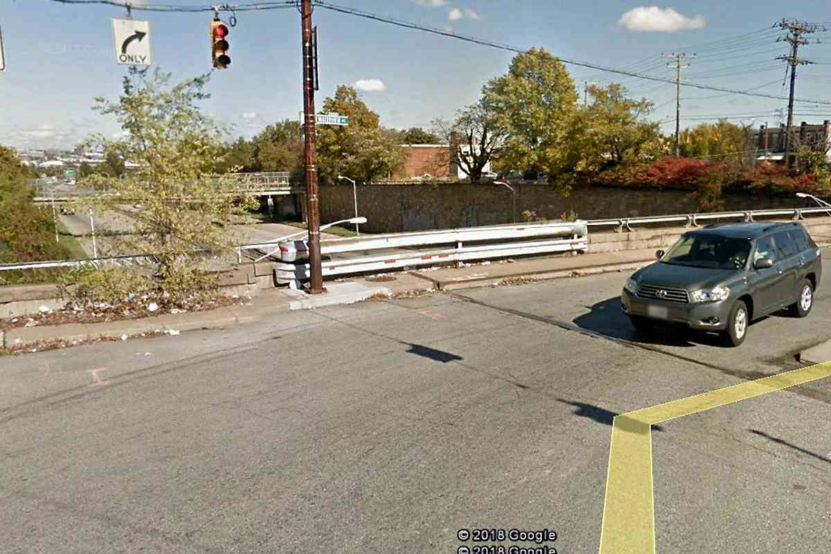
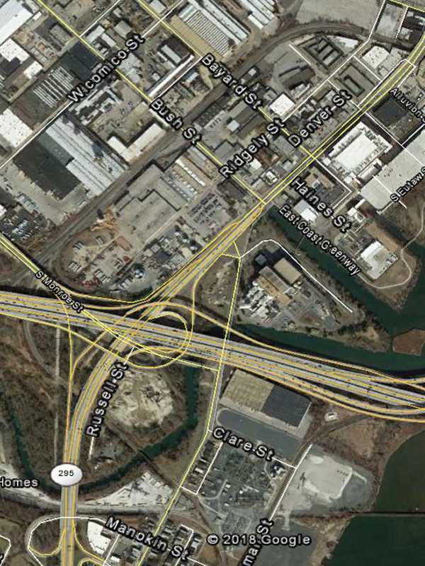
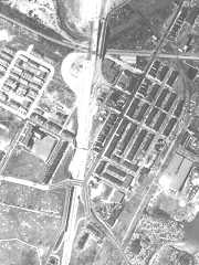
The 1972 configuration remains much the same in 2018 but that may change
as the 21st century progresses. Looking to squeeze their way through here
are 1) express lanes of a widened B-W Parkway, 2) a Maglev train,
and 3) Elon Musk's Hyperloop.
|