TrainWeb.org Facebook Page
Baltimore Light Rail Photo Tour


Baltimore Light Rail
Modern day photo tour

Accompanying each photo below are:

Click a photo to see a larger view. Please send your comments and corrections to Steve.


<< Previous (north) | THIS PAGE: Riderwood to Woodberry | Next (south) >>

Roland Run

Roland Run
Mile: 10.4 Date: Nov 2020
Ease: A- View: NW
Area: A- BLR:
Map: Ba 26 H 3 Topographic Maps

As seen from Ridervale Park, this bridge over Roland Run typifies the look of many Northern-Central-to-light-rail bridges. The stone masonry is likely NC, and probably dates from the 1870s. The steel components have an early 20th century appearance, and the bright concrete portions would appear to be light rail additions from the 1990s or 2000s.


Bellona Avenue

Bellona Avenue
Mile: 9.7 Date: Aug 2016
Ease: A View: S
Area: A BLR:
Map: Ba 26 H 4 Topographic Maps

Yes, that's a light rail train behind the Riderwood Post Office, but it's not picking up mail. It's not picking up passengers either, because this is part of a four-mile stretch that local residents petitioned to have no stations. Here, even railfans are considered sketchy characters, but then again, that's true most places.


Double Tracking
Photo credit Todd Sestero

Double Tracking
Mile: 9.6 Date: Dec 2004
Ease: B View: S
Area: A BLR:
Map: Ba 26 H 4 Topographic Maps

This southbound train on New Years Eve of 2004 was one of the last to make the trip before this segment was temporarily closed to permit more intensive work on the adjacent second track. The building on the right is NC's former Riderwood Station.

The extra width here arose a century or so earlier when a siding peeled off to the right to serve the Stebbins & Anderson Coal and Lumber Company. The last Stebbins Anderson store closed at the end of 2019.

Links: source photo, Stebbins Anderson


Parallel

Parallel
Mile: 9.2 Date: Feb 2020
Ease: A View: S
Area: A BLR:
Map: Ba 26 H 5 Topographic Maps

Light rail and Bellona Avenue run side-by-side for about a mile here.


Ruxton 2000
Photo credit HH Harwood

Ruxton 2000
Mile: 8.7 Date: ~2000
Ease: B View: N
Area: A- BLR:
Map: Ba 26 H 7 Topographic Maps

The NC's Ruxton Station was demolished within a few years of the end of its passenger duties. It made way for a stretch of rowhouses or apartments that opened of the left during 1963. The disused trackside platforms remained extant until cleared away for the arrival of light rail around 1990.


MTA 5007

MTA 5007
Mile: 7.7 Date: Nov 2020
Ease: B- View: N
Area: A BLR:
Map: Ba 26 H 9 Topographic Maps

The concrete curb serves as a sort of retaining wall against a small mound that is the only surviving evidence of the Northern Central's Brightside Station. The 1880s photo linked below looks the opposite direction from the north side of the station.

Link: Brightside Station 1880s


Portec

Portec
Mile: 7.7 Date: Nov 2020
Ease: B- View: N
Area: A BLR:
Map: Ba 26 H 9 Topographic Maps

Light rail uses assorted Portec Rail Group equipment such as this solar-recharged utility/battery box. This particular installation is too close to one of the catenary poles, which forces its solar panel to face southeast rather than the optimal south direction.


S Curve

S Curve
Mile: 7.7 Date: Nov 2020
Ease: B- View: S
Area: A BLR:
Map: Ba 26 H 9 Topographic Maps

Trains still follow the S curve that originated here during the 19th century to line up for traversing the Jones Falls and Lake Roland.


Lake Roland
Photo credit HH Harwood

Lake Roland
Mile: 7.4 Date: ~2000
Ease: B View: NE
Area: B+ BLR: 2
Map: Ba 26 G 9 Topographic Maps

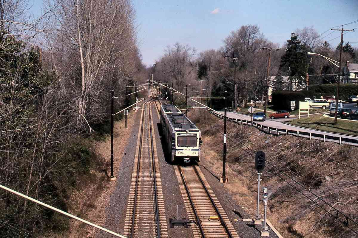
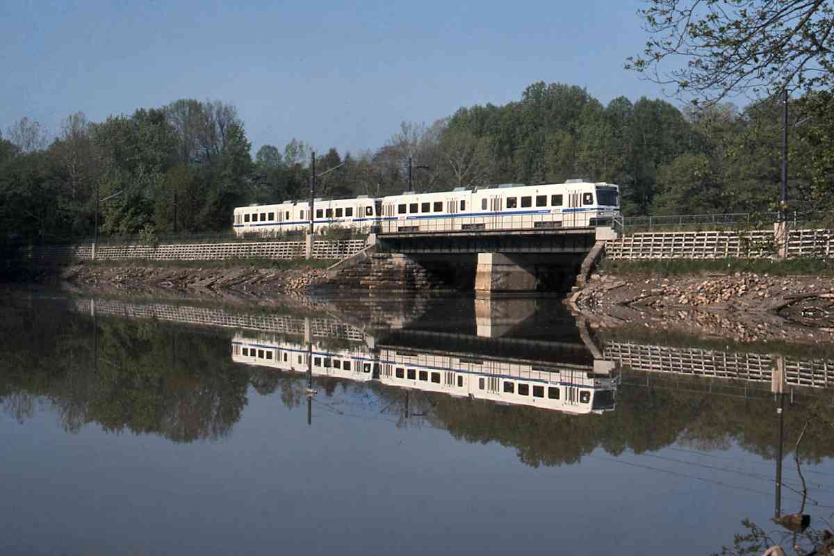
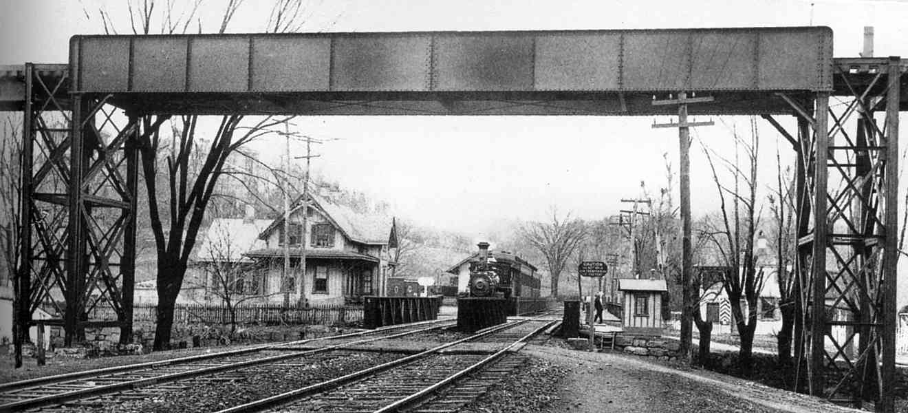
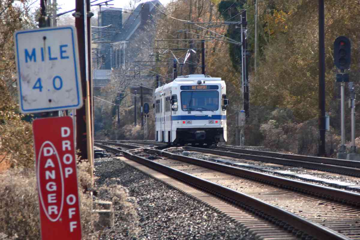
To the passengers, there appeared to be two photographers during this summer day at Lake Roland.

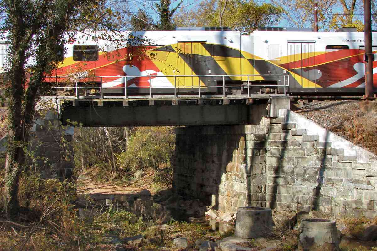
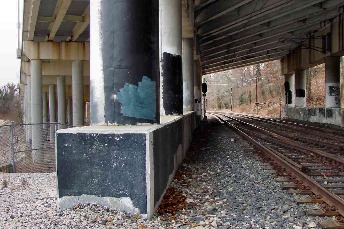
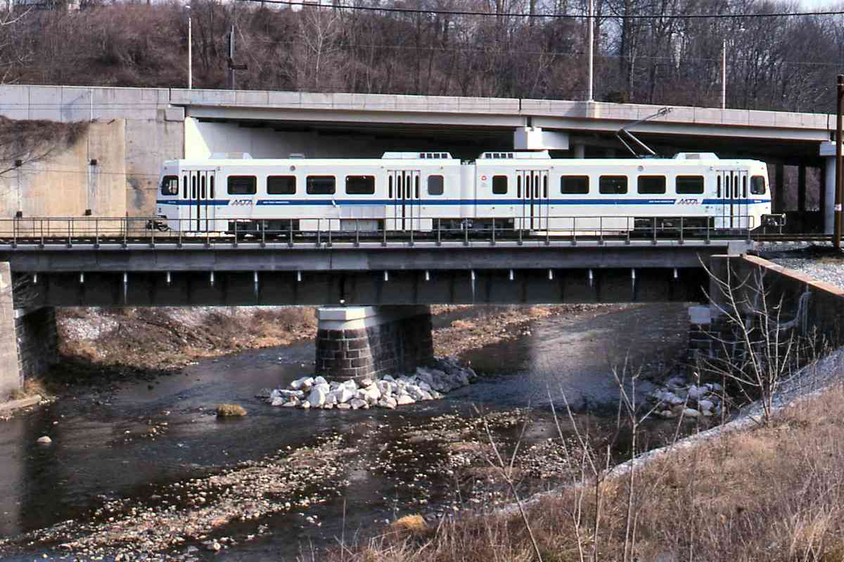
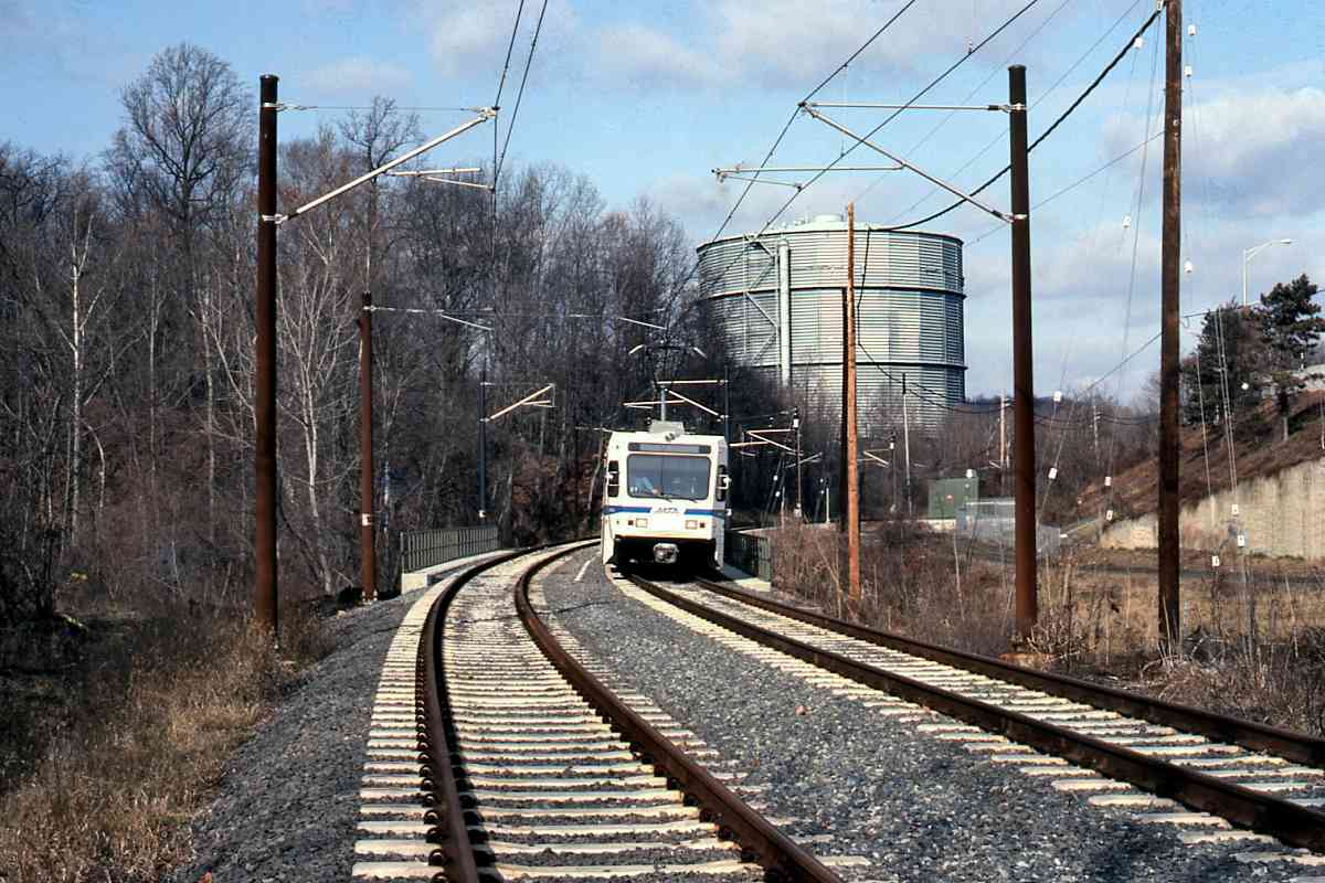
The country's first wooden railroad bridge was constructed either here or along the adjacent Green Spring Branch in 1832 under the direction of Col. Stephen H. Long. An advocate of wooden bridges, Long teamed with the Baltimore & Susquehanna (B&S) after disagreements with the stone-bridge-favoring Baltimore & Ohio.

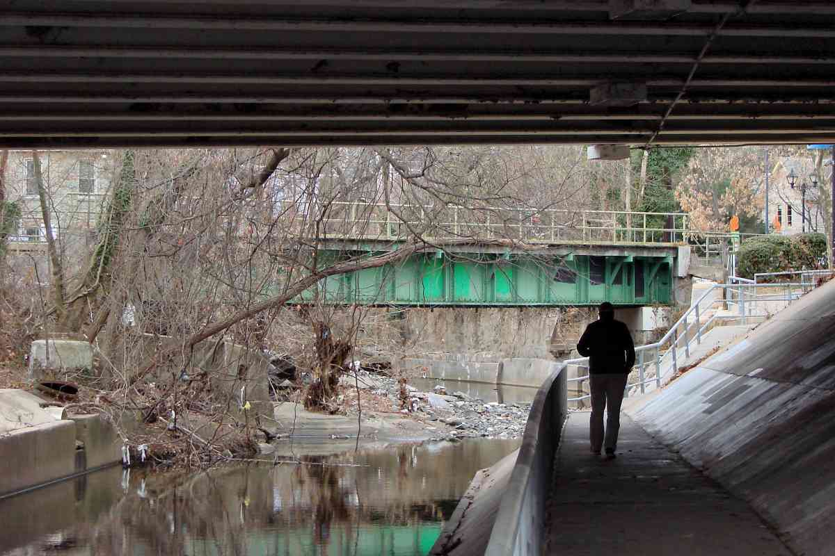
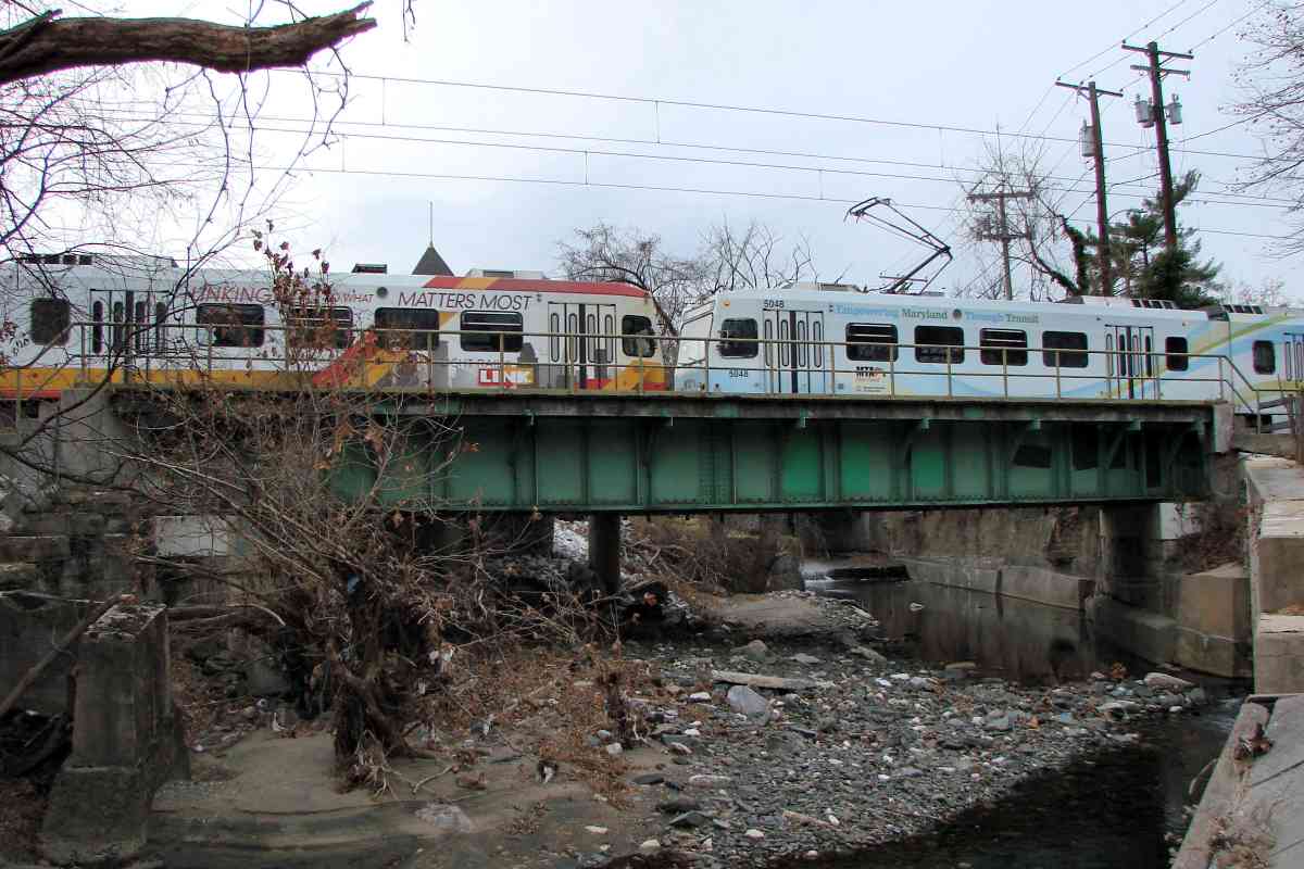
In 1854, the B&S merged with other lines to form Northern Central RR. Before that decade ended, the NC upgraded the B&S bridge here to permit the then-new 
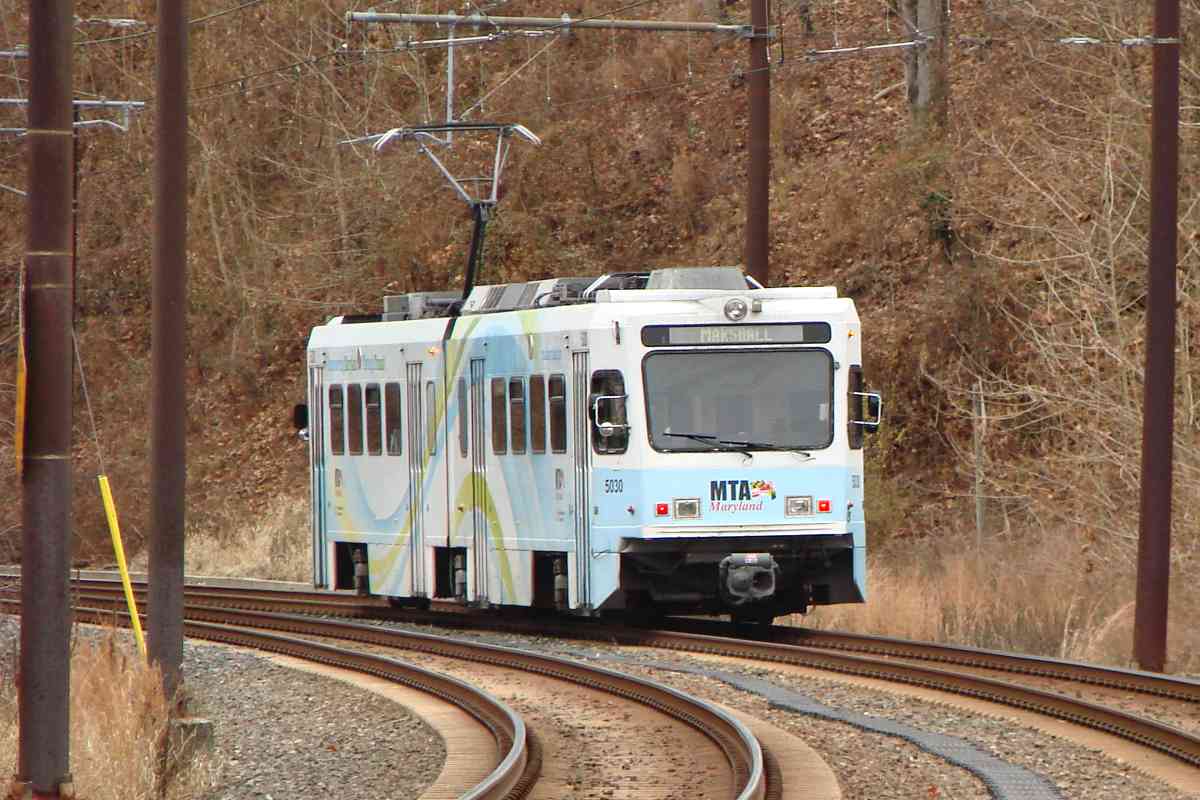
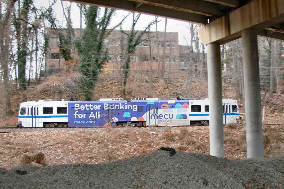
Lake Roland to flow under. The bridge and surrounding trackage were damaged by Confederate sympathizers during the Civil War of the 1860s to slow progress of Union troops from the north. After repair, the bridge was likely 
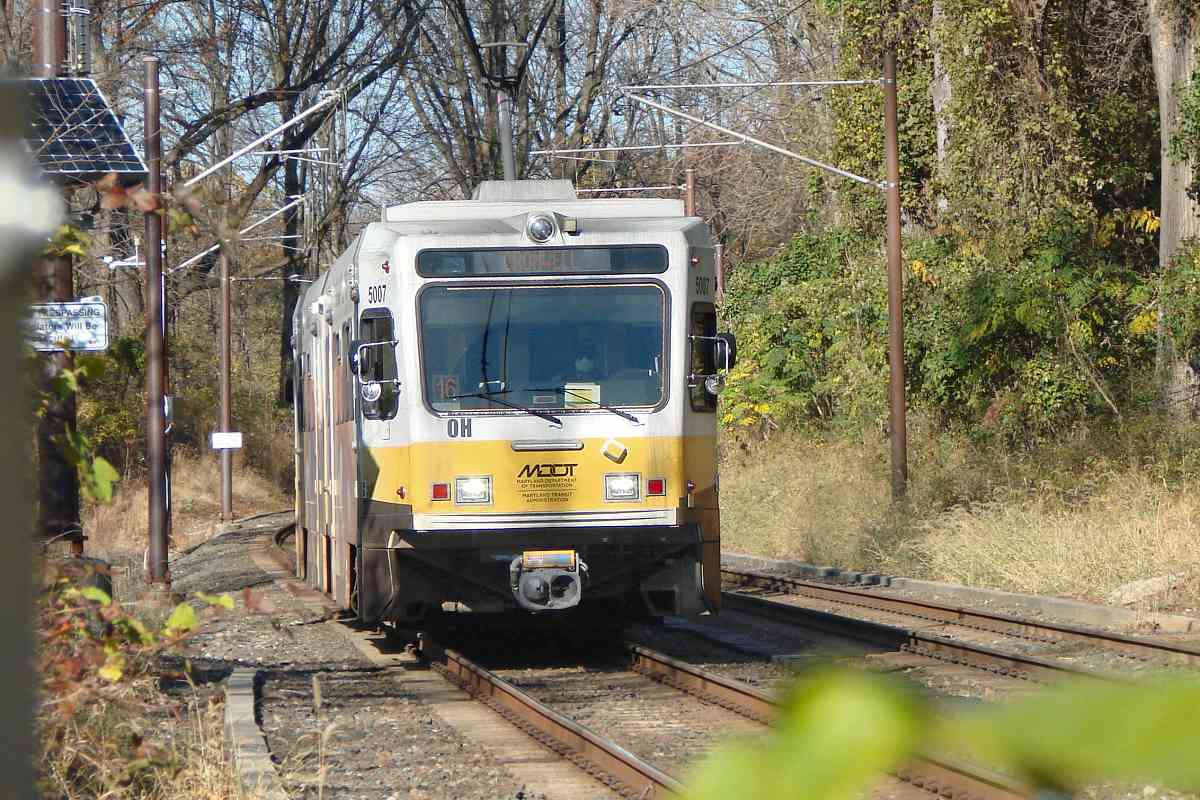
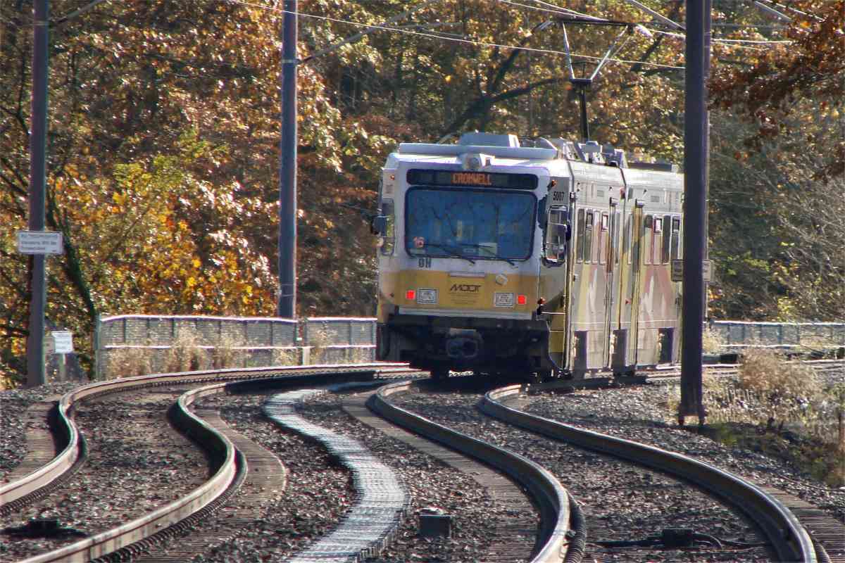
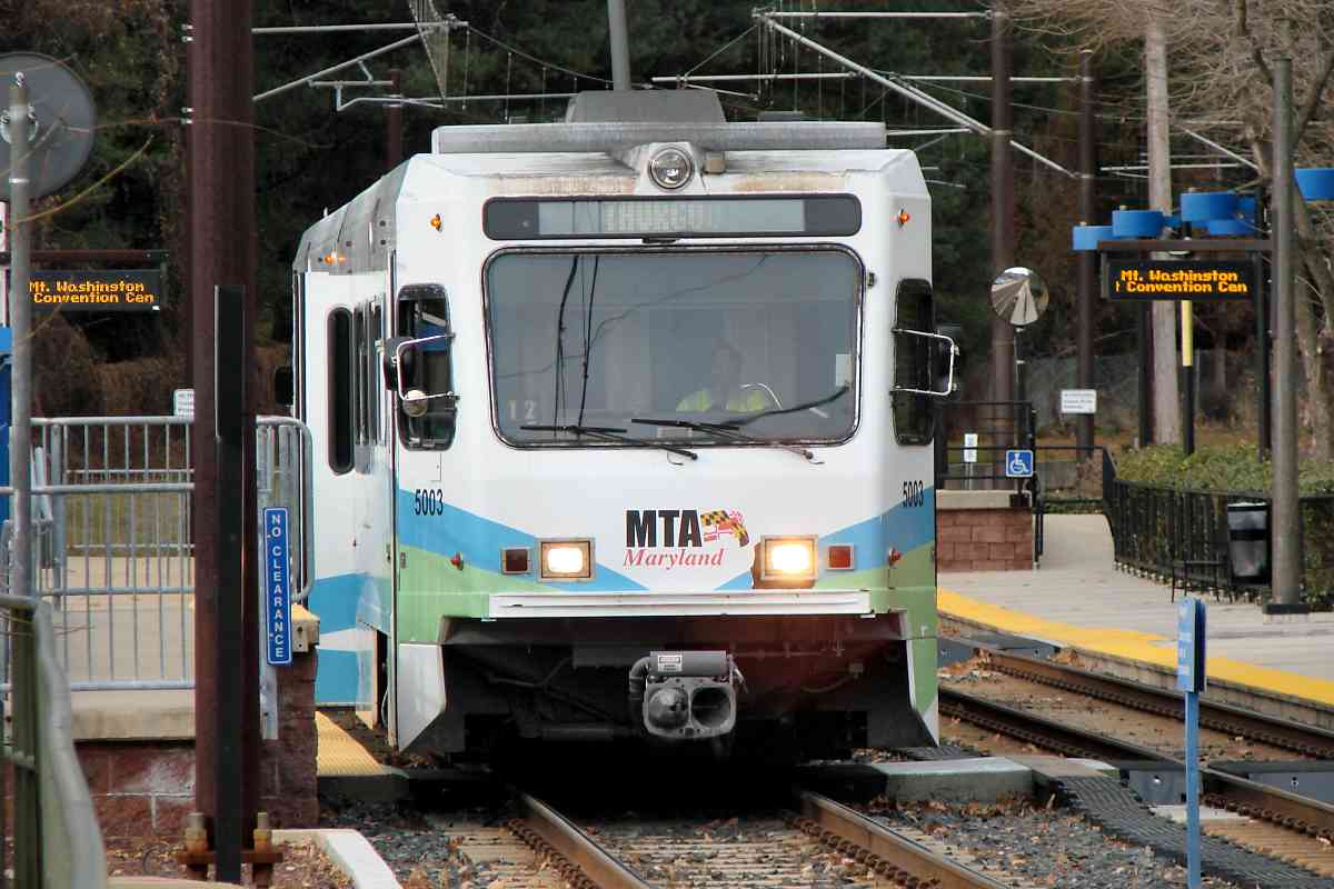
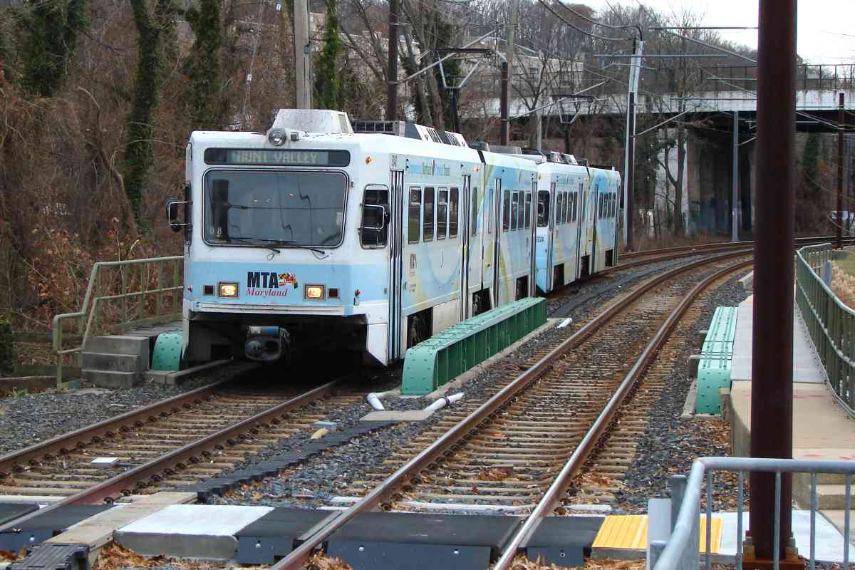
modified for heavier steam locomotives, then again around 1990 for light rail. Along the way, there may have been other modifications as well.

Link: Long's bridges here


MTA 5044

MTA 5044
Mile: 7.3 Date: Feb 2020
Ease: B+ View: NE
Area: B+ BLR:
Map: Ba 26 H 10 Topographic Maps

On its southwest, the lake is bounded by Bare Hills, named for a nearby copper and chromium mine. The hills necessitated the cut seen here.

Link: Bare Hills info


MTA 5032

MTA 5032
Mile: 7.3 Date: Feb 2020
Ease: B+ View: SW
Area: B+ BLR:
Map: Ba 26 H 10 Topographic Maps

The covered trough between the two tracks is a conduit runway.


Falls Road Station

Falls Road Station
Mile: 6.9 Date: Dec 2019
Ease: A View: NE
Area: A- BLR:
Map: Ba 26 G 11 Topographic Maps

For southbound trains, this is the last station in Baltimore County. A 1915 atlas places the NC's Bare Hills Station here on the left side.

Link: Bare Hills info


Power

Power
Mile: 6.9 Date: Dec 2019
Ease: A View: W
Area: A- BLR:
Map: Ba 26 G 11 Topographic Maps

Those little trackside solar panels may be able to recharge batteries, but light rail's real power supply comes via substations like this adjacent Falls Road. Note that this particular substation might not supply power to light rail.


MTA 5030

MTA 5030
Mile: 6.9 Date: Dec 2019
Ease: A View: SW
Area: A- BLR:
Map: Ba 26 G 11 Topographic Maps

After its brief jog southwest near Lake Roland, light rail turns back to the south.


Cable Runways

Cable Runways
Mile: 6.6 Date: Dec 2019
Ease: B View: NE
Area: B BLR:
Map: Ba 26 F 11 Topographic Maps

MTA manhole cover Assorted cables run near the surface in most places. At this location Baltimore City reaches its northern limit. That the transition of the cabling between surface and underground happens right at the border suggests the city and county have differences in wiring codes/laws.

Not many of these custom MTA manhole covers are to be found.


Under I-83

Under I-83
Mile: 6.6 Date: Dec 2019
Ease: B View: SW
Area: B BLR:
Map: Ba 26 F 11 Topographic Maps

As at the Beltway, signals happen to be under the highway. The crossover they guard was placed here where the track is straighter and visibility better.


Ad Wrap

Ad Wrap
Mile: 6.5 Date: Feb 2020
Ease: B View: W
Area: B BLR:
Map: Ba 26 F 11 Topographic Maps

Some ad wraps cover even the windows.


Mount Washington

Mount Washington
Mile: 6.3 Date: Feb 2020
Ease: A View: S
Area: B+ BLR:
Map: Ba 26 G 12 Topographic Maps

Southbound MTA 5003 will soon depart Mount Washington Station.


Bikes

Bikes
Mile: 6.3 Date: Dec 2019
Ease: A View: N
Area: B+ BLR:
Map: Ba 26 G 12 Topographic Maps

Some bikes have been left at Mount Washington Station so long they have become rusted to the concrete. (I've not seen these styled bike racks at other stations.)


MTA 5040

MTA 5040
Mile: 6.3 Date: Dec 2019
Ease: A- View: SE
Area: B+ BLR:
Map: Ba 26 G 12 Topographic Maps

As it crosses the Western Run bridge, northbound MTA 5040 slows to stop at the station. That's a pedestrian crosswalk at bottom.


Annuciator

Annuciator
Mile: 6.3 Date: Dec 2019
Ease: A- View: E
Area: B+ BLR:
Map: Ba 26 G 12 Topographic Maps

This box provides audible warning of a train nearing the station's pedestrian crosswalk. LEDs flicker at the same time.

Instead of the sign's wording, how about "When flashing, a train is approaching"? Otherwise one imagines:
"When flashing train approaching, seek treatment for your migraine."
"When flashing train approaching, be sure to wear a raincoat."
"When flashing train approaching, repair its circuitry."


Under JFX

Under JFX
Mile: 6.3 Date: Feb 2020
Ease: A- View: W
Area: B+ BLR:
Map: Ba 26 G 12 Topographic Maps

The station's crosswalk leads to this unique one under the JFX/I-83. Behind the photographer had stood Mount Washington cotton mill that opened in 1810. During the 1990s it was converted for offices and shopping.

Link: Mount Washington mill


Western Run

Western Run
Mile: 6.3 Date: Dec 2019
Ease: A- View: W
Area: B+ BLR:
Map: Ba 26 G 12 Topographic Maps

Here's another view of the bridge. Since there exists another Western Run further north, this stream is sometimes called the Western Branch of the Jones Falls.

A century before light rail, another commuter line had served this area. The disused concrete block at bottom left is a relic of a Baltimore & Northern (B&N) streetcar bridge over the NC.

Link: Jones Falls 1912


Baltimore + Northern
Photos courtesy HH Harwood collection

Baltimore & Northern
Mile: 6.3 Date: 1897
Ease: View: N
Area: BLR: 17
Map: Ba 26 G 12 Topographic Maps

looking east ~1900 Immediately south of Western Run, a then-new B&N streetcar line bridges overhead to demonstrate light rail, 19th century style. Within two years, the B&N would join forces with the Consolidated Railway to form the United Railways and Electric Company. Commuters could then choose the NC or the streetcar to downtown Baltimore. The main photo captures an NC train pausing at Mount Washington Station.

The elevated trackage section would see use for 30 years until the streetcars were rerouted atop the Kelly Avenue Viaduct.


From Kelly Avenue
Photo credit HH Harwood

From Kelly Avenue
Mile: 6.2 Date: Jan 1992
Ease: B View: N
Area: B+ BLR:
Map: Ba 26 G 12 Topographic Maps

As seen in this photo of a pre-opening test run, initially this stretch was single-tracked. Until double track arrived, Mount Washington Station was equipped with a passenger platform only on the east side of the tracks.


MTA 5012

MTA 5012
Mile: 6.1 Date: Dec 2019
Ease: A- View: S
Area: B BLR:
Map: Ba 26 G 12 Topographic Maps

From here, the line enters a deep and relatively-inaccessible valley. Some of its best views along the next 1.5 miles come from the JFX.


From Northern Parkway

From Northern Parkway
Mile: 5.8 Date: Nov 2019
Ease: B+ View: N
Area: B BLR:
Map: Ba 26 G 13 Topographic Maps

One can glimpse the trains from heavily-trafficked Northern Parkway. The Parkway bridge dates to 1962 as part of JFX interchange construction. Prior to Northern Parkway, a different bridge here had carried Belvedere Avenue over the NC. The Parkway's bridge was rejuvinated 26 years later (1988), and may be due for another refresh.

NC's Cylburn Station had been near. It, along with other history elements, are covered in more detail as part of the NC tour.


Melvale
Photo credit HH Harwood

Melvale
Mile: 4.6 Date: 1990s
Ease: B View: N
Area: B- BLR: 38
Map: Ba 34 G 3 Topographic Maps

Starting in 1806, Melvale hosted one of several mills along the Jones Falls, first a saw mill, later a distillery that converted to vinegar production upon Prohibition, a capacity in which it continues within stone buildings that date to circa 1870.


MTA 5030

MTA 5030
Mile: 4.5 Date: Nov 2019
Ease: B View: N
Area: B- BLR: 73
Map: Ba 34 G 3 Topographic Maps

Prior to the Cold Spring Lane bridge, Melvale Avenue had crossed at grade on this side of the stone building. Curving over MTA 5030 is a ramp from southbound I-83 to westbound Cold Spring Lane.


Station

Station
Mile: 4.5 Date: Nov 2019
Ease: B View: S
Area: B- BLR:
Map: Ba 34 G 3 Topographic Maps

Light rail's Cold Spring Lane station squeezes into a small triangle of land between I-83 (visible in the background) and the Jones Falls, just south of where the NC's Melvale Station had been.

A roadway speed limit sign has been put to use to advise downhill railcars, such as this recently-overhauled MTA 5029.


Finished Service

Finished Service
Mile: 4.4 Date: Nov 2019
Ease: B View: S
Area: B- BLR:
Map: Ba 34 G 3 Topographic Maps

"Finished Service 6" means the train that will arrive in about six minutes will not stop. Another train follows one minute behind it.

"Finished Service" in this case is probably just a handy substitute label for some other reason the train won't stop. There are no storage tracks of significance in the northerly direction that train is heading.


Jones Falls
Photo credit HH Harwood

Jones Falls
Mile: 4.1 Date: Jan 1992
Ease: B View: E
Area: B BLR:
Map: Ba 34 G 4 Topographic Maps

A sloping JFX creates the optical illusion that lighr rail is climbing up to the right. Instead, the train is descending too, albeit at a slower rate than the highway. As the freshly-bright concrete and stones indicate, NC's bridge here was refurbished for light rail.


Gas Holder
Photo credit HH Harwood

Gas Holder
Mile: 4.0 Date: Jan 1992
Ease: B View: N
Area: B BLR:
Map: Ba 34 G 4 Topographic Maps

Harwood captured this test run a few months prior to the system's opening to the general public. Testing was performed between North Avenue and Woodberry, the first section of track to be completed.

The large tank in the background stored natural gas from 1933 until it was demolished during 2013. It was the last of its kind in the region.


MTA 5008

MTA 5008
Mile: 4.0 Date: Nov 2019
Ease: B View: S
Area: B BLR:
Map: Ba 34 G 4 Topographic Maps

"Danger Drop Off" refers to a disused mill race that had led south to factories at Woodberry, which is next on the tour.


Meadow Mill
Photo credit HH Harwood

Meadow Mill
Mile: 3.5 Date: ~2000
Ease: A- View: SE
Area: B BLR: 72
Map: Ba 34 H 5 Topographic Maps

MTA 5034 crosses Union Avenue within sight of Meadow Mill. As at Mount Washington, various mill buildings at Woodberry have been converted for use as offices, restaurants, etc. Meadow Mill's immediately prior use was as a London Fog raincoat factory.

Link: Meadow Mill


Union Avenue

Union Avenue
Mile: 3.5 Date: Dec 2019
Ease: A View: NW
Area: B BLR:
Map: Ba 34 H 5 Topographic Maps

MTA manhole cover Tight quarters compact two grade crossings with multiple roads and a bus route. Though the stop sign at right is on the opposite side of the road, it is intended for cars exiting Meadow Mill where the photog is standing. The brick building on the left served as the headquarters office of the Poole & Hunt iron working complex that had previously sprawled here.

The WX signage tells train operators to sound the horn for multiple grade crossings. I believe 1N identifies the signal as number one at this grade crossing for the northbound track. The box at left displays train-approach warnings to pedestrians.


MTA 5007

MTA 5007
Mile: 3.5 Date: Nov 2019
Ease: A- View: N
Area: B BLR:
Map: Ba 34 H 5 Topographic Maps

This is the view from Woodberry Station. Light rail's station occupies the same spot the NC's had.


Woodberry Station

Woodberry Station
Mile: 3.5 Date: Nov 2019
Ease: A View: S
Area: B BLR:
Map: Ba 34 H 5 Topographic Maps

South of Woodberry the route enters another less-accessible section. Much of it is scenic, and more than one rider has been caught leaf peeping during autumn.


<< Previous (north) | THIS PAGE: Riderwood to Woodberry | Next (south) >>

Or, return to main page

Copyright Notice