TrainWeb.org Facebook Page
Claremont Branch Photo Tour


Claremont Branch
Modern day photo tour

Accompanying each photo below are:

Click a photo to see a larger view. Please send your comments and corrections to Steve.


<< Previous (east) | THIS PAGE: Claremont West | End of tour | main index >>

Wilkens Avenue Bridge

Wilkens Avenue Bridge
Mile: 0.7 Date: Jul 2015
Ease: B View: NW
Area: B- T6:
Map: Ba 42 E 2 Topographic Maps

The branch had never been double tracked. Can anyone loan a weed-whacker and saw?


Supports

Supports
Mile: 0.7 Date: Jul 2015
Ease: B- View: NW
Area: B- T6:
Map: Ba 42 E 2 Topographic Maps

Though patinaed with rust, the bridge supports appear in suitable condition for train service to resume. Of course, engineer crews would need to verify.


Wilkens Avenue

Wilkens Avenue
Mile: 0.7 Date: Jul 2015
Ease: A View: E
Area: C+ T6:
Map: Ba 42 E 2 Topographic Maps

From street level, the bridge does not appear to need as much groundskeeping. store

Nearby neighborhood stores supply the essentials. If you ever need Harware-Toilet Tissue, Soap Locks, or key food groups, now you know where to find a Convenient Store that can help. Since photo time, this store has closed.


Overgrown

Overgrown
Mile: 0.9 Date: Jul 2015
Ease: A- View: E
Area: C T6:
Map: Ba 42 D 2 Topographic Maps

Utility lines parallel the Claremont Branch. Yes, rails are hiding in this overgrowth as seen looking back from Wellesley Street. A dense stand of trees have taken hold behind the photographer, suggesting the track between here and the Northeast Corridor was dismantled some time ago. Caton Avenue is bridged farther behind the photog.


Caton Avenue

Caton Avenue
Mile: 1.1 Date: Jul 2015
Ease: A View: S
Area: C+ T6:
Map: Ba 42 D 2 Topographic Maps

The vined Caton Avenue bridge would blend well within Sanctuary in the 1976 Logan's Run movie. We're close to the Northeast Corridor now (unseen on the right).


Aerial 1939
Photo courtesy Baltimore Sun

Aerial 1939
Mile: 1.0 Date: 1939
Ease: B View: NW
Area: B- T6:
Map: Ba 42 E 4 Topographic Maps

This aerial photo captured the western end of the Claremont Branch during its active days.


West Wye
Image courtesy Johns Hopkins University
NEW! Mar 2026

West Wye
Mile: 1.1 (center) Date: 1895
Ease: View: N (up)
Area: T6:
Map: Ba 42 C 2 Topographic Maps

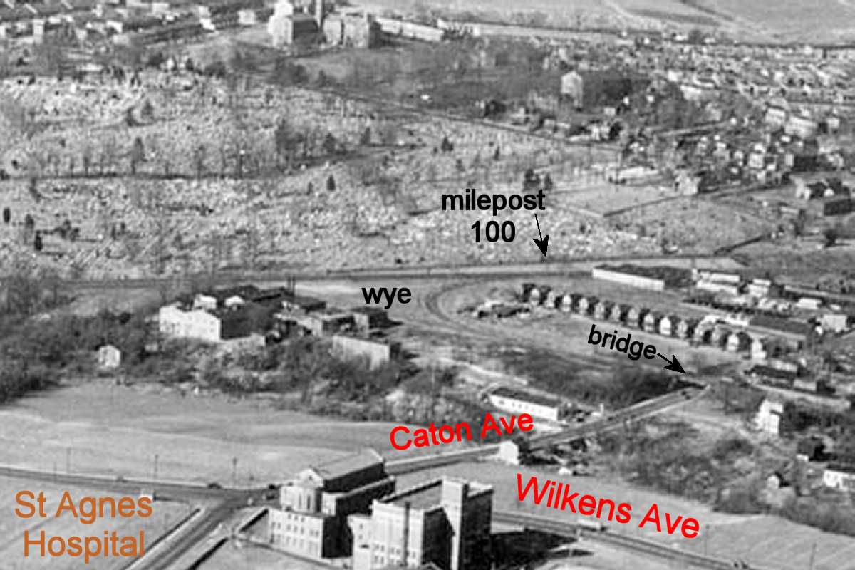
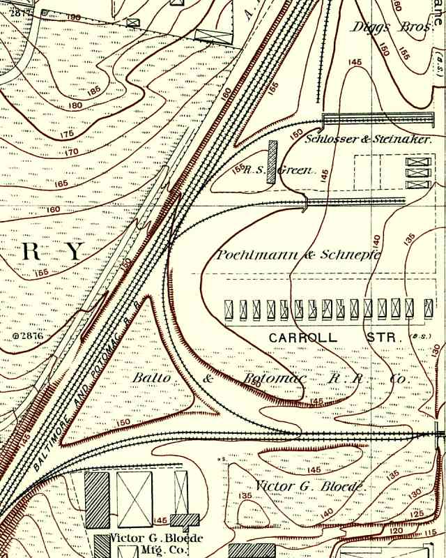
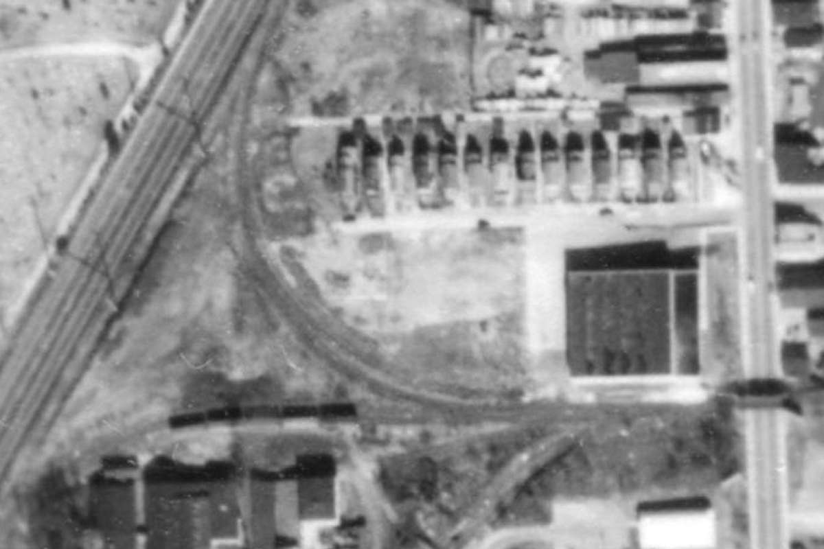
At map time, Caton Avenue was named Maiden's Choice Lane; it runs along the right edge. West of it, the Claremont Branch splits into the wye at bottom center. The branch was only a few years old when this map was drawn. PRR was still decades away from electrifying its main line that runs SW/NE.

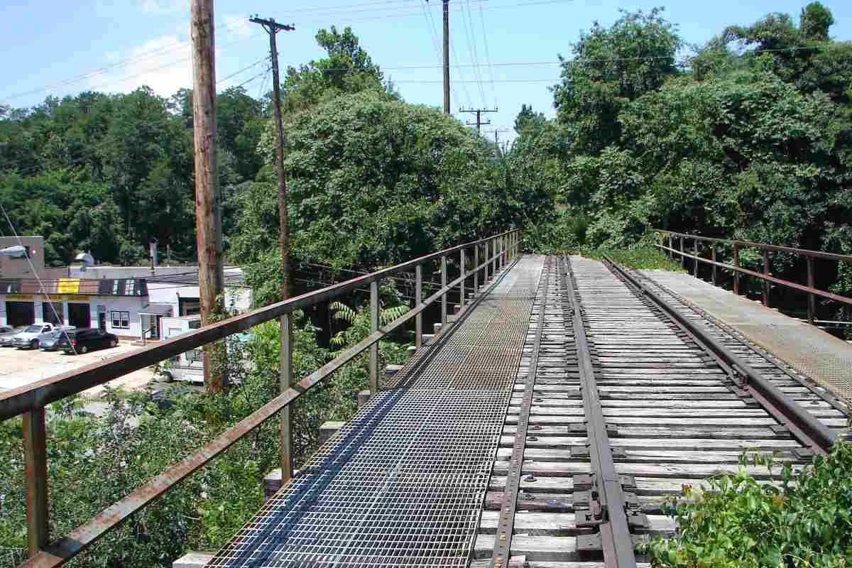
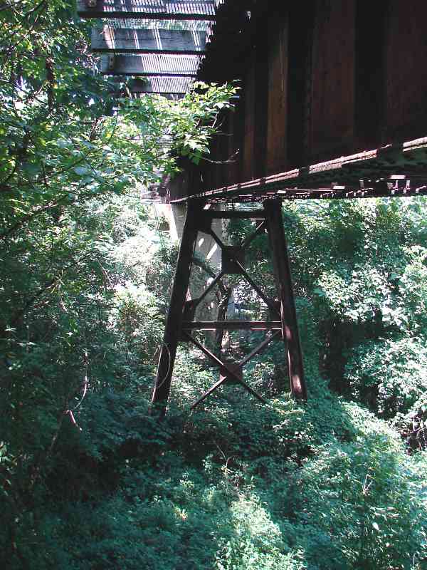
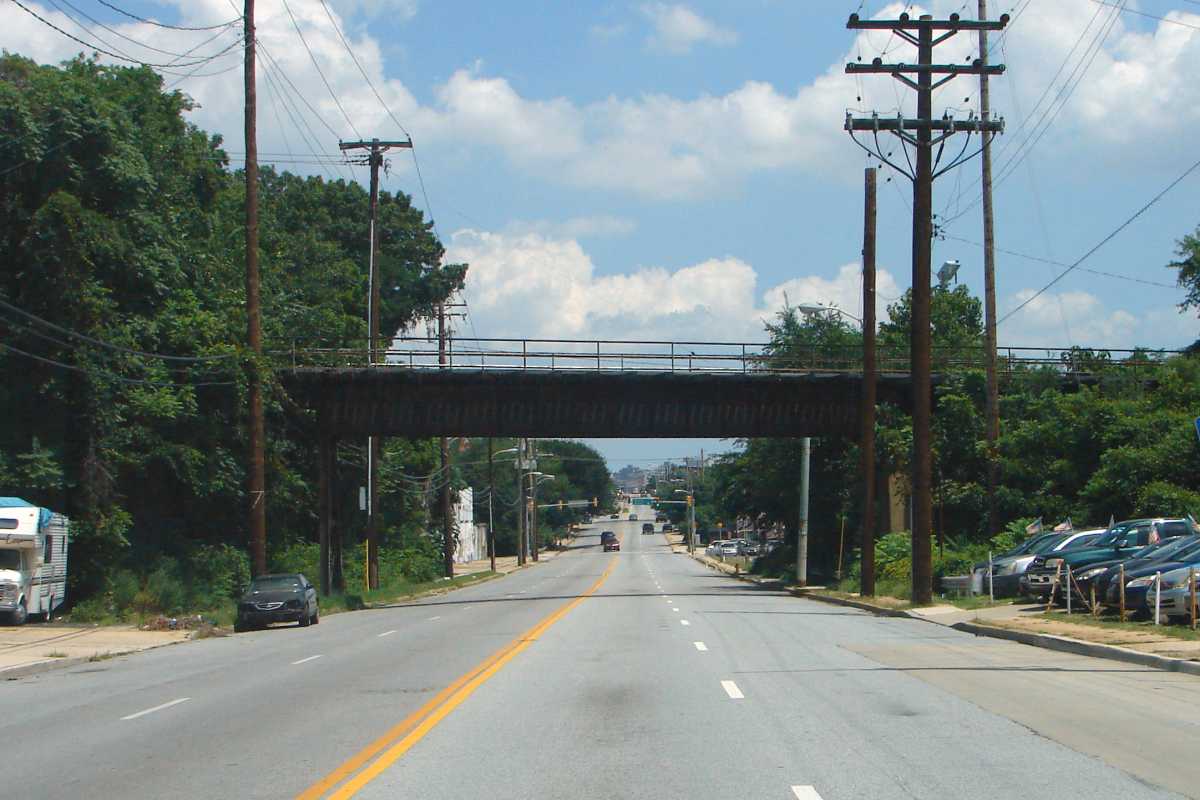
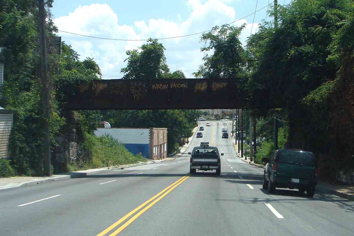
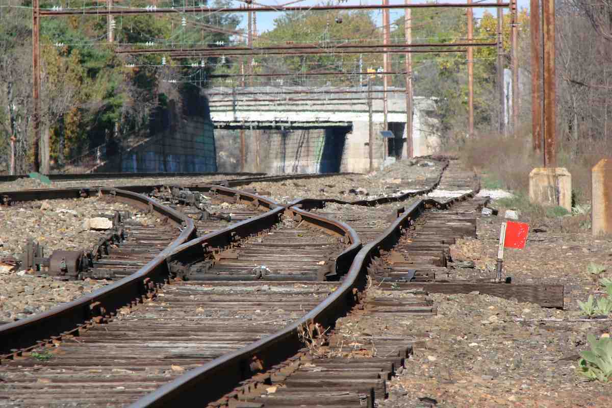
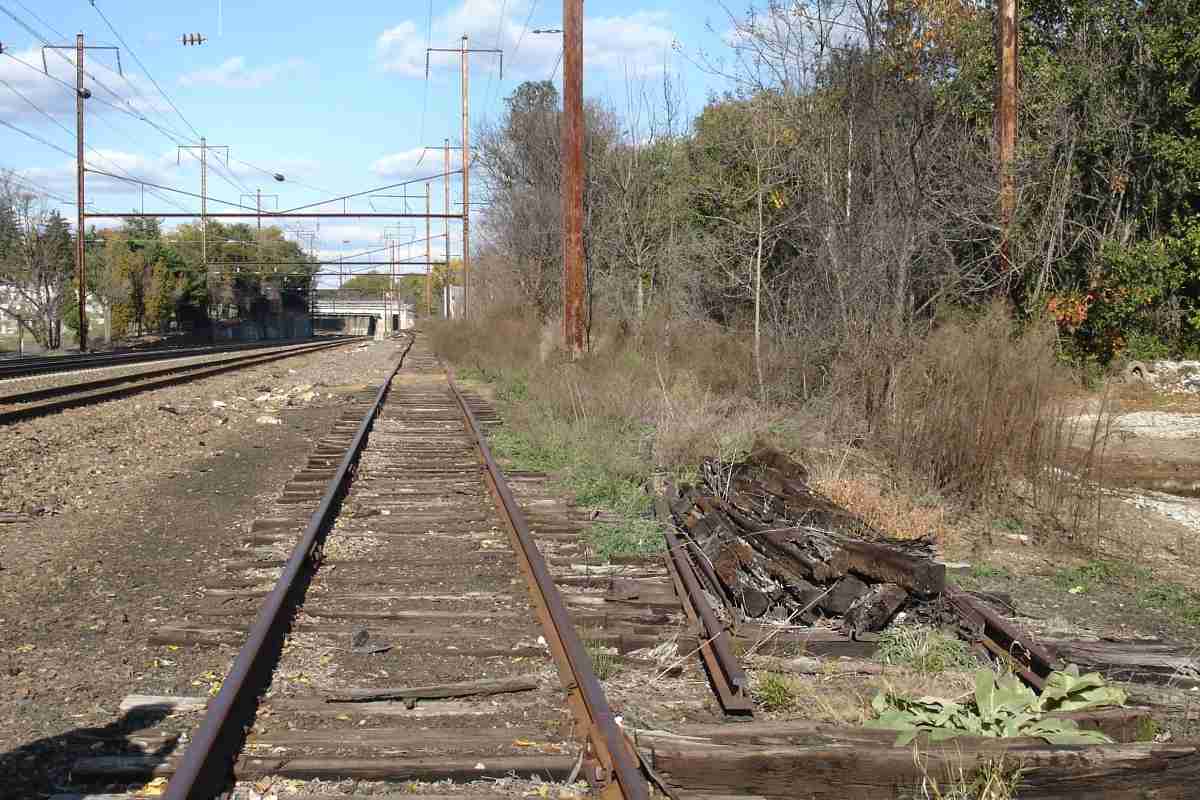
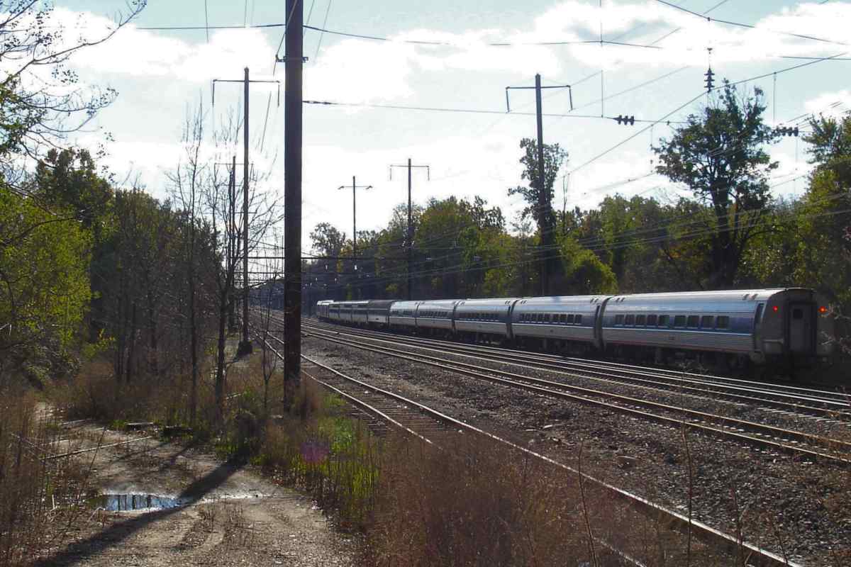
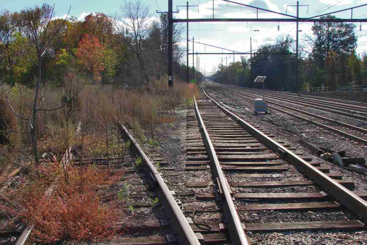
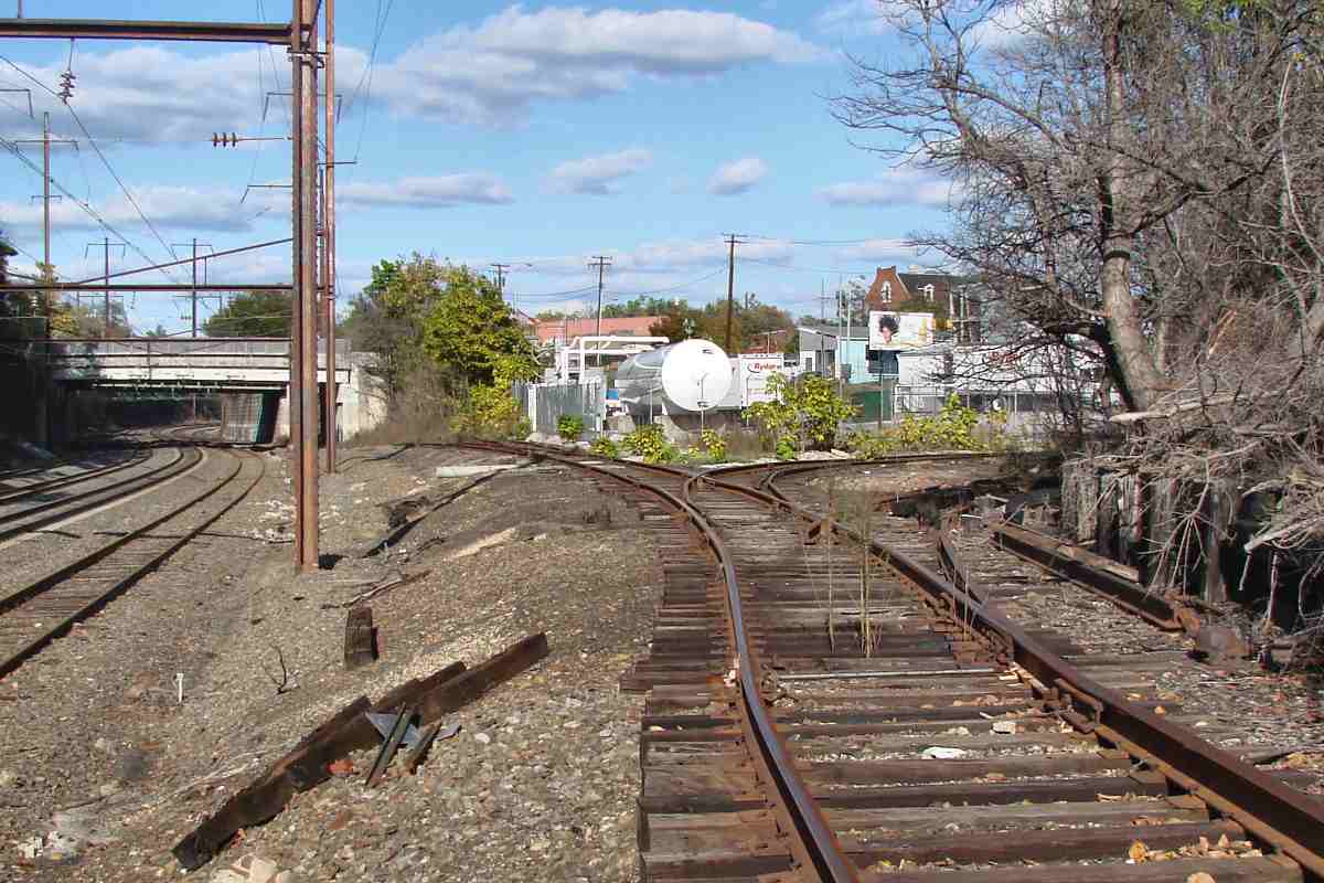
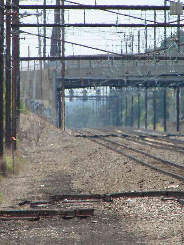
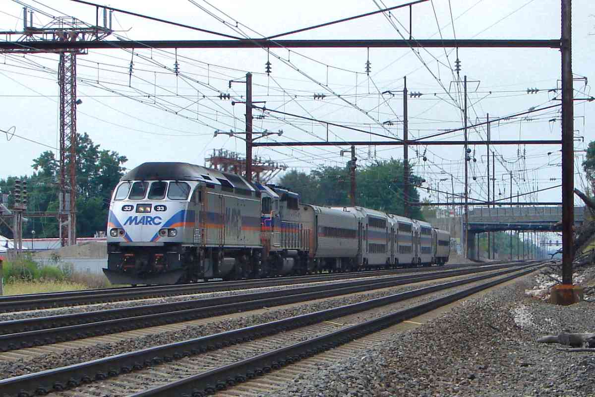
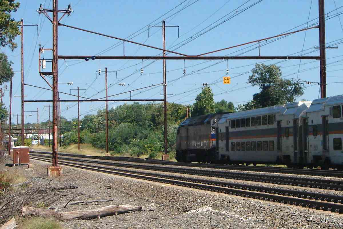
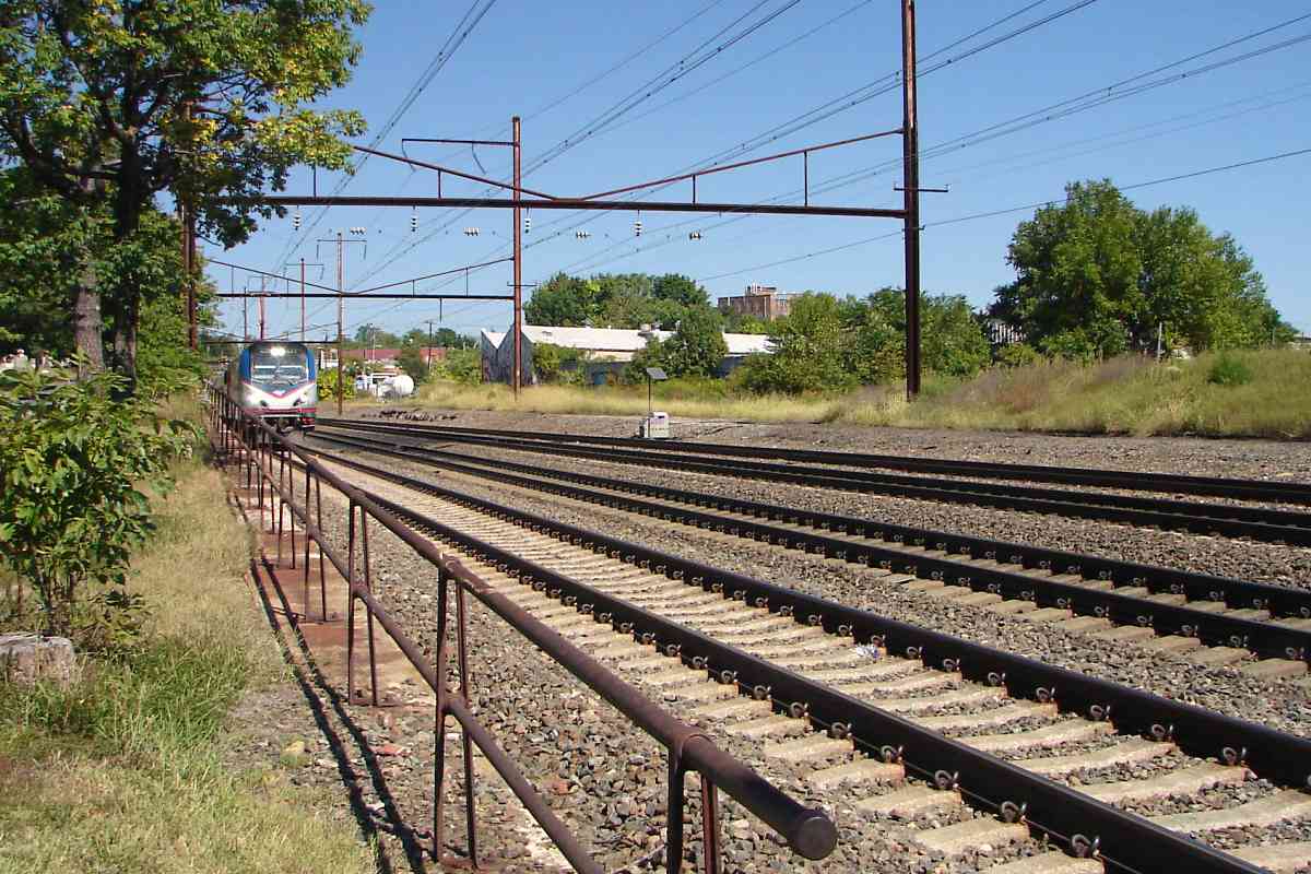
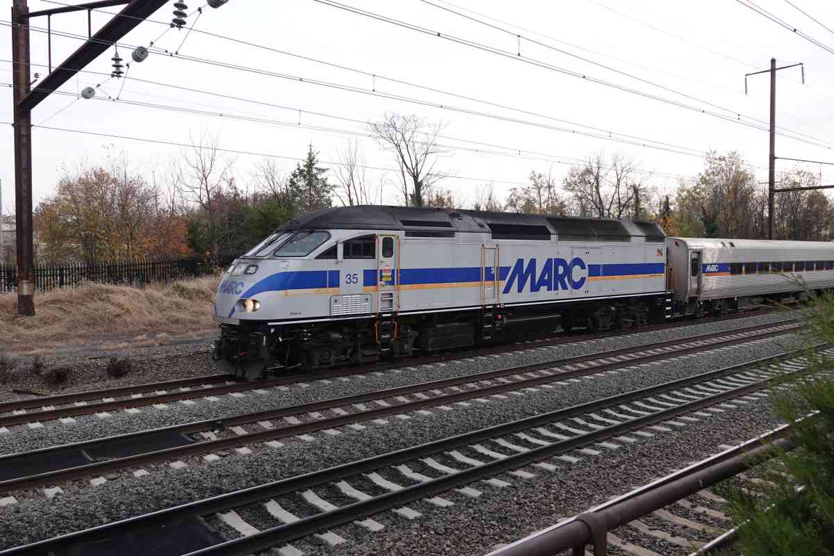
Note the contour lines put the branch at roughly the same elevation as the main. When electrcity arrived, PRR lowered the main by about 6 feet to add clearance under bridges. The branch, however, was 
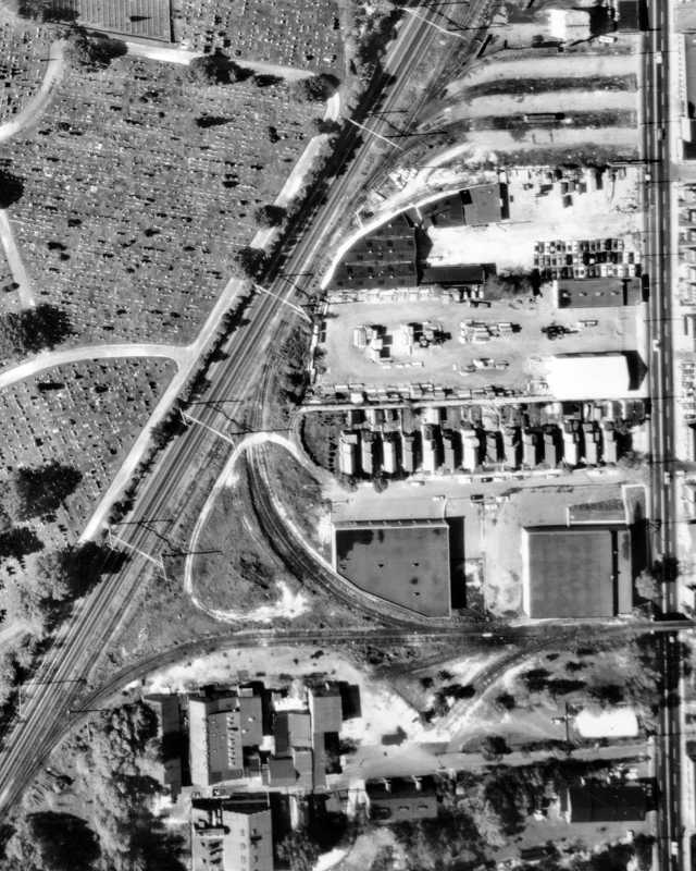
never lowered, so the sidings to Schlosser & Steinaker, among others, remained at the original elevation until their 21st-century disuse. The differing elevations are visible in photos below.


West Wye 1967
Photo courtesy Library of Congress
NEW! Mar 2026

West Wye 1967
Mile: 1.1 (center) Date: 1967
Ease: View: N (up)
Area: T6: 336
Map: Ba 42 C 2 Topographic Maps

The wye did not directly connect with any of PRR's three main line tracks here, instead meeting a team trark that also connected to a small yard. That yard, seen at top with three concrete strips, received coal and wood deliveries during the early 1900s.


Team Track
Photo courtesy Dave Hiteshew
NEW! Mar 2026

Team Track
Mile: 1.3 Date: Oct 2007
Ease: View: NE
Area: T6:
Map: Ba 42 C 3 Topographic Maps

For years prior to its removal, the team track saw minimal maintenance. It rises to its original elevation in the distance. The rails are not rusted over which tells us some equipment ventured here recently. The uneveness tells us that wasn't high-speed Amtrak equipment.


South Leg
Photo courtesy Dave Hiteshew
NEW! Mar 2026

South Leg
Mile: 1.2 Date: Oct 2007
Ease: View: NE
Area: T6:
Map: Ba 42 C 2 Topographic Maps

Track from a disconnected wye south leg lies in pieces at right.


AMTK 650
Photo courtesy Dave Hiteshew
NEW! Mar 2026

AMTK 650
Mile: 1.2 Date: Oct 2007
Ease: View: SW
Area: T6:
Map: Ba 42 C 2 Topographic Maps

A maintenance road intersects the south leg at left.


No Catenary
Photo courtesy Johns Hopkins University
NEW! Mar 2026

No Catenary
Mile: 1.1 (center) Date: Feb 1953
Ease: View: N (up)
Area: T6:
Map: Ba 42 C 2 Topographic Maps

This 1953 aerial captures a few railcars either on the south leg or an adjacent siding. Note PRR did not equip the branch with catenary. Two H-shaped catenary poles are visible along the main line, however. The top one is the closest catenary pole in the photo below.


North Leg
Photo courtesy Dave Hiteshew
NEW! Mar 2026

North Leg
Mile: 1.2 Date: Oct 2007
Ease: View: SW
Area: T6:
Map: Ba 42 C 2 Topographic Maps

The north leg (left) is rustier than the team track. I'd guesstimate the last train rolled on the leg during the 1980s.


Guard Rail
Photos courtesy Dave Hiteshew

Guard Rail
Mile: 1.2 Date: Oct 2007
Ease: B View: E
Area: C T6:
Map: Ba 42 C 2 Topographic Maps

1915 The Claremont Branch preserved some older examples of track equipment, such as these dated 1915 and 1925. Those are forging years, not necessarily installation years.

"Manganese Guard Rail 1925 Manufacture Type N" - Manganese added to steel created a harder, tougher material better able to withstand impacts. It was, and still is, often used for track frogs. Guard rails reduce the chance a train will derail and spill onto adjacent, active, high-speed tracks.


To Yard
Photo courtesy Dave Hiteshew
NEW! Mar 2026

To Yard
Mile: 1.3 Date: Oct 2007
Ease: View: NE
Area: T6: 336
Map: Ba 42 C 3 Topographic Maps

Most of this trackage was cleaned out around 2012. Amtrak and MARC upgraded the wood ties of the closest track on the left to cement ties in 2023.

The team track descends from B&P's original elevation to rejoin the other tracks under Frederick Road. B&P's Frederick Road station previously stood near the trees left of center.


Wye

Wye
Mile: 1.2 Date: Jul 2015
Ease: A- View: SW
Area: C+ T6:
Map: Ba 42 C 2 Topographic Maps

Milepost 100 The wye, found near milepost 100, permitted trains to proceed either north or south along the Northeast Corridor. Amtrak and MARC now keep busy along this stretch where Wilkens Avenue (distance) spans overhead. Milleposts are measured from PRR's Broad Street Station in Philadelphia, Pennsylvania.

In the main photo, note the boulder between the end of the train on the right and the equipment box. That boulder resides where the Catonsville Short Line had diverged from the Pennsy. Old aerial photos suggest sufficient track switches had never been installed to permit trains to roll from the Claremont Branch onto the Catonsville Short Line.


Zoom Left

Zoom Left
Mile: 1.2 Date: Jul 2015
Ease: A- View: SW
Area: C+ T6:
Map: Ba 42 C 2 Topographic Maps

All but a few remnants of both legs of the wye were removed around 2012. The Penn-Camden Connector will restore them. In this zoom view, some surviving track segments and ties mark where the wye had split off.


MARC 33

MARC 33
Mile: 1.4 Date: Aug 2015
Ease: B View: S
Area: B- T6:
Map: Ba 42 C 3 Topographic Maps

MARC 33 passes the Loudon Park Substation on the left.

MARC Penn Line trains like this follow what had been PRR's route between Baltimore and Washington, DC. MARC Camden Line trains follow B&O's route between those cities, the only route that serves the home stadiums of the Orioles and Ravens. The Penn-Camden Connector would permit Penn Line trains to bring fans to and from those stadiums.

Link: Substation HABS/HAER entry


Wider

Wider
Mile: 1.4 Date: Sep 2015
Ease: B View: NE
Area: B- T6:
Map: Ba 42 C 3 Topographic Maps

MARC 20 speeds local passengers past tall catenary poles. Note how the poles near the train are located the usual distance from the rails while those ahead are farther from the rails. The ones ahead had provided room for the Claremont Branch's team track.


AMTK 643

AMTK 643
Mile: 1.2 Date: Sep 2015
Ease: B View: NE
Area: B- T6:
Map: Ba 42 C 2 Topographic Maps

closer Now we've moved a bit northeast, across from what had been the center of the wye; the north leg had extended into the distance on the right. Note the white tank in that direction to the right of the quickly approaching engine. That's now a fixed-location tank, but into at least the 1970s, railroad tank cars were picked up and dropped off there by the railroad.

About two seconds later, Washington-bound Amtrak 643 model ACS-64 has obscured much of our view while dead insects similarly challenge the operator.


MARC 35
NEW! Mar 2026

MARC 35
Mile: 1.2 Date: Nov 2025
Ease: B View: SE
Area: C T6:
Map: Ba 42 C 2 Topographic Maps

Amtrak's black perimeter fences (left), going up all along the Northeast Corridor, reached here around 2018. They'll need to be redone for the Connector.


AMTK 2129
NEW! Mar 2026

AMTK 2129
Mile: 1.2 Date: Nov 2025
Ease: B View: NE
Area: C T6:
Map: Ba 42 C 2 Topographic Maps

Insect-like Avelia Liberty engines began running in revenue service during 2025. They are configured for the 25 Hz alternating current PRR adopted from the New York, New Haven and Hartford Railroad circa 1910.


AMTK 2122
NEW! Mar 2026

AMTK 2122
Mile: 1.2 Date: Nov 2025
Ease: B View: S
Area: C T6:
Map: Ba 42 C 2 Topographic Maps

Avelia Liberty cars are designed to tilt into curves. This has been known to trigger motion sickness in some riders.


Thanks for following along! You might enjoy the Catonsville Short Line tour, or
Head southwest along Pennsylvania RR tour at this site

<< Previous (east) | THIS PAGE: Claremont West | End of tour | main index >>

For other tours here, select from the map: clickable map

Or, return to main page

Copyright Notice