|
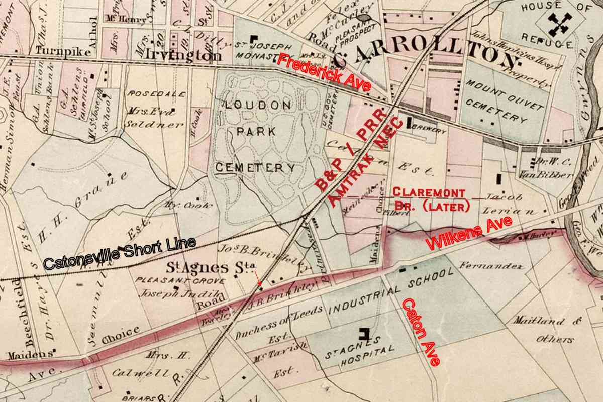
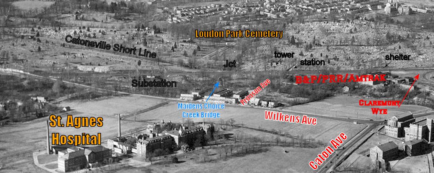
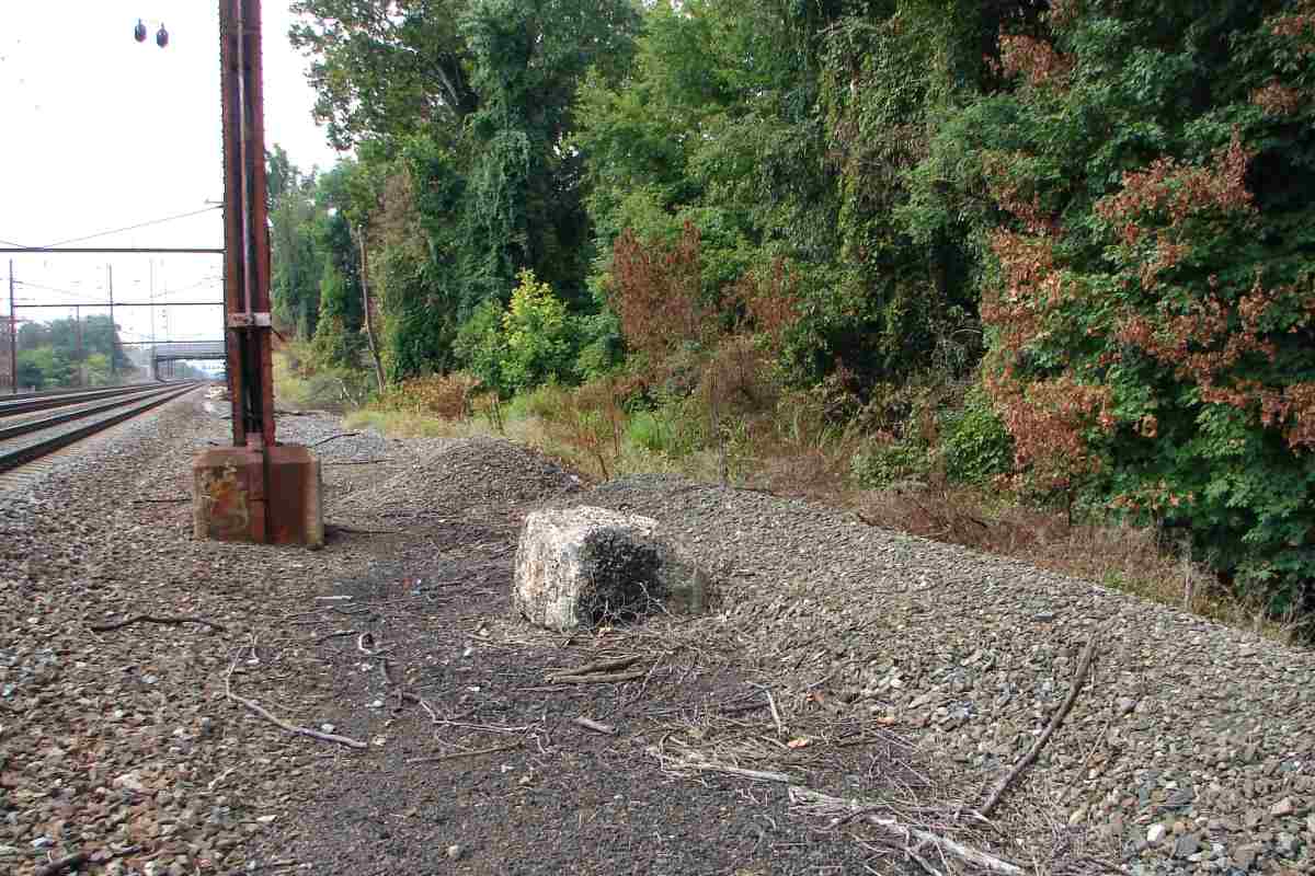
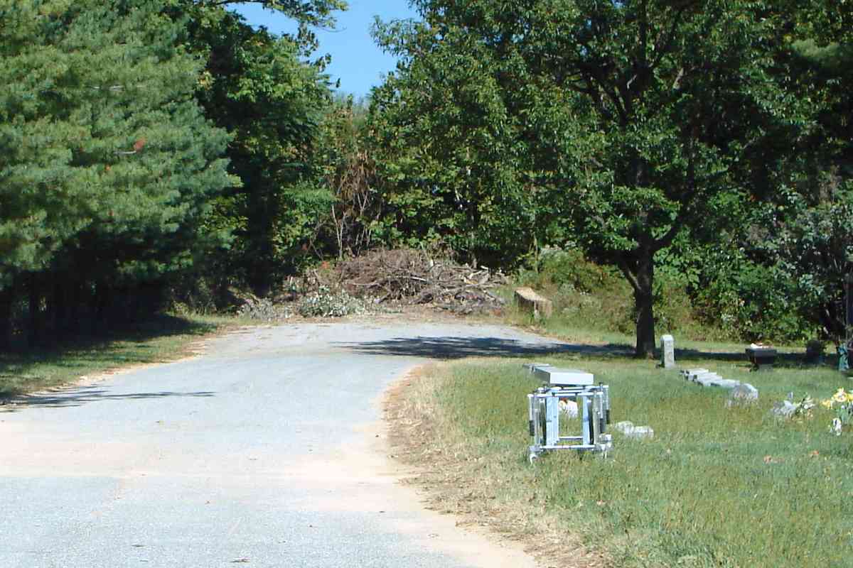
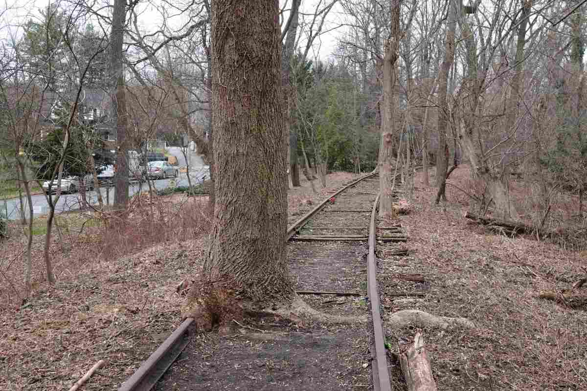
CSL had met the Baltimore & Potomac Railroad, later Pennsylvania RR (PRR) and now Amtrak's
Northeast Corridor, here, or more precisely at the boulder between the end of the
train on the right and the tuscan red equipment box.
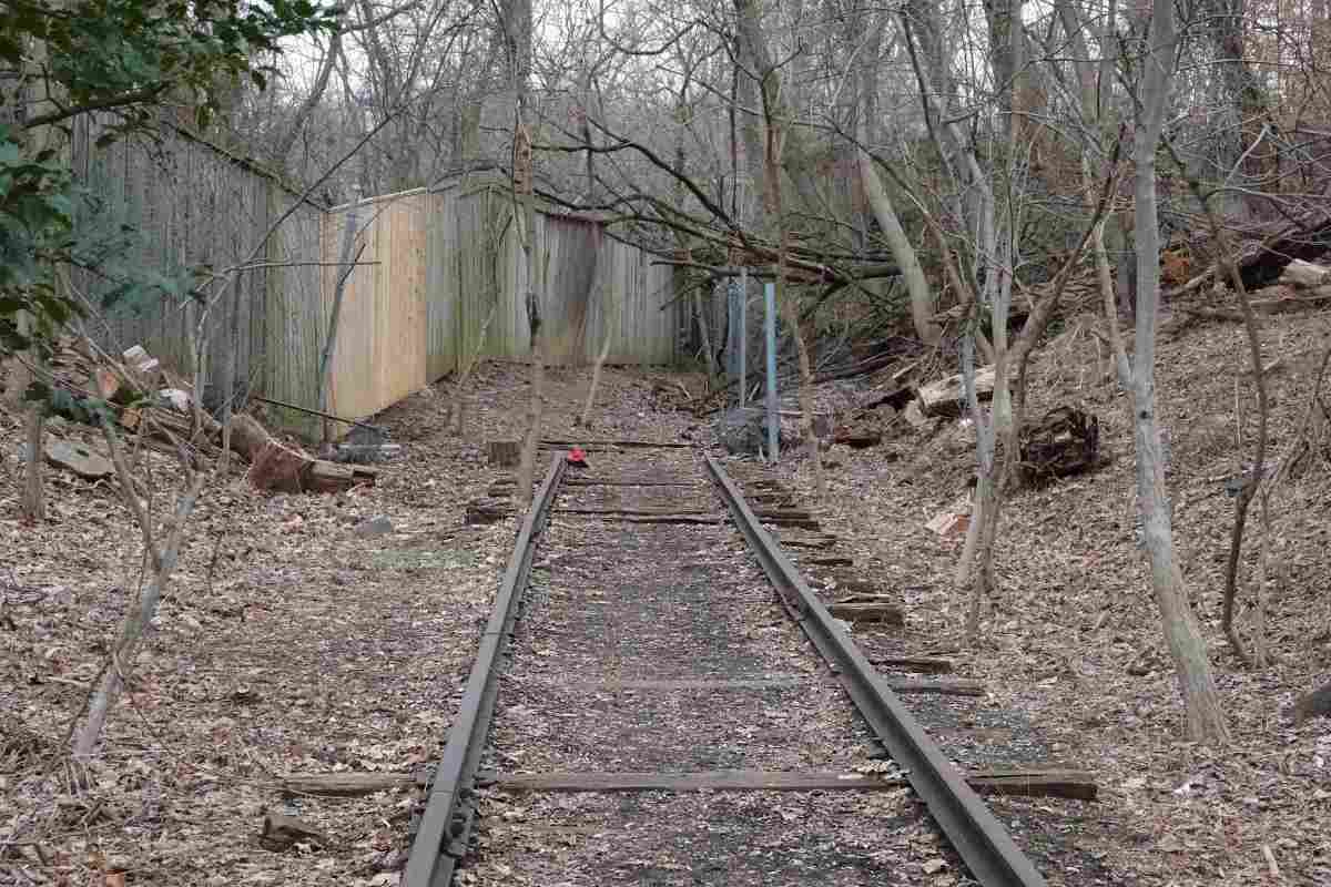
Some CSL trains -- I doubt many -- would follow B&P/Penn tracks all the way to Calvert
Station at the intersection of Calvert and Frankin Streets in Baltimore. To get there,
trains would have to trek 5 miles east of here and run past Baltimore's Union/Penn Station.
Calvert Station, demolished about 1950, was part of Northern Central Railway and, like
CSL, under control of PRR.
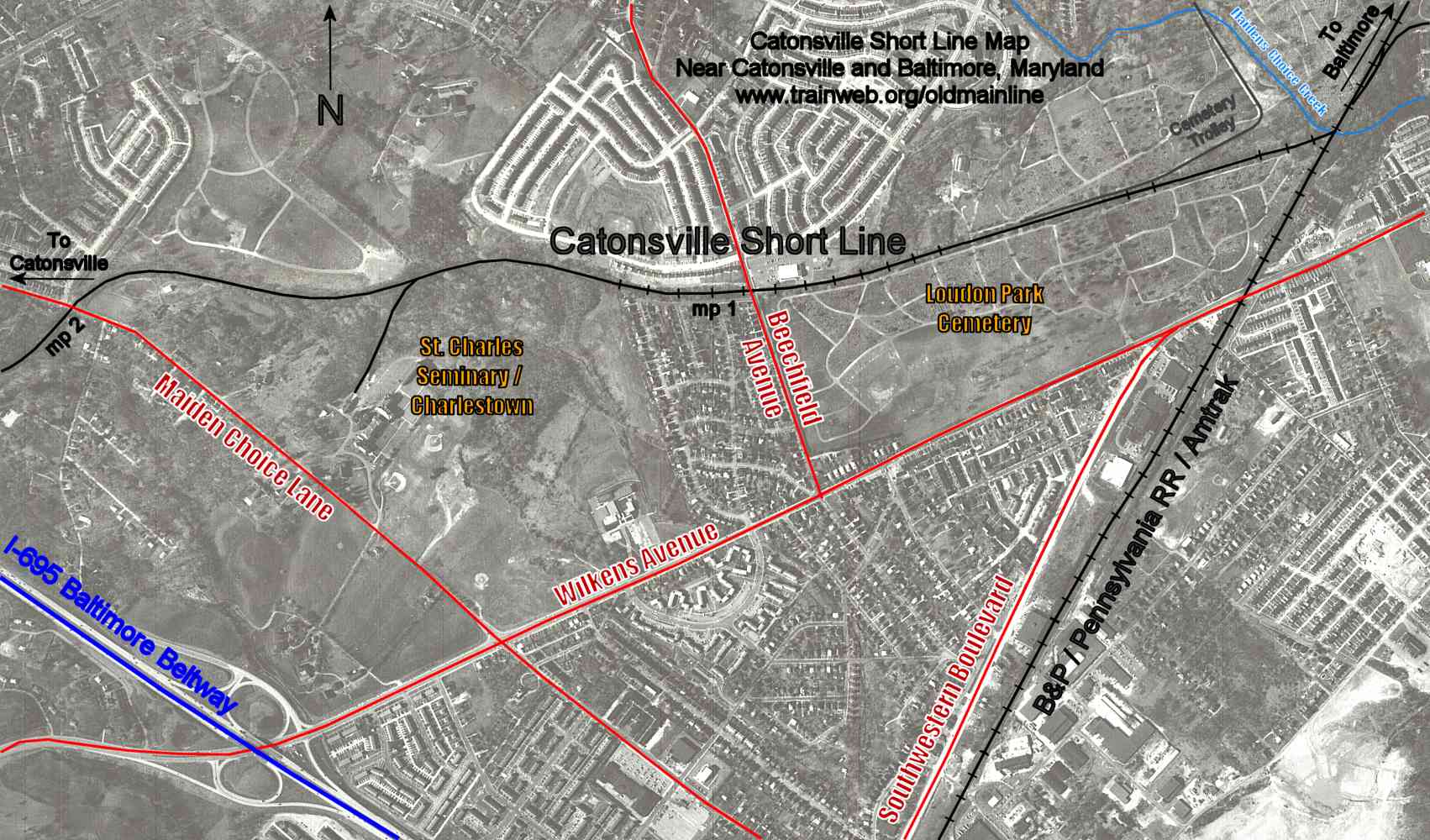
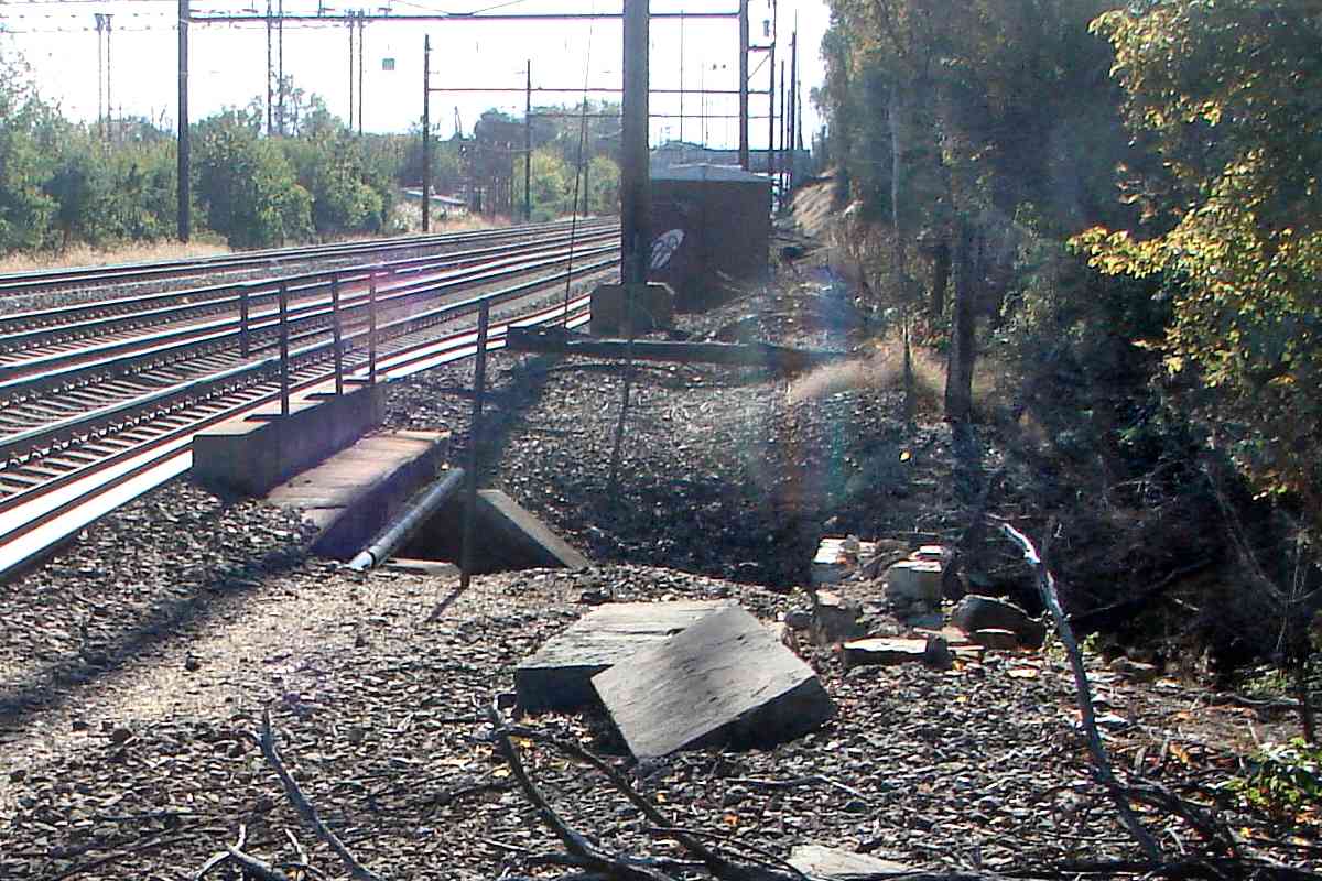
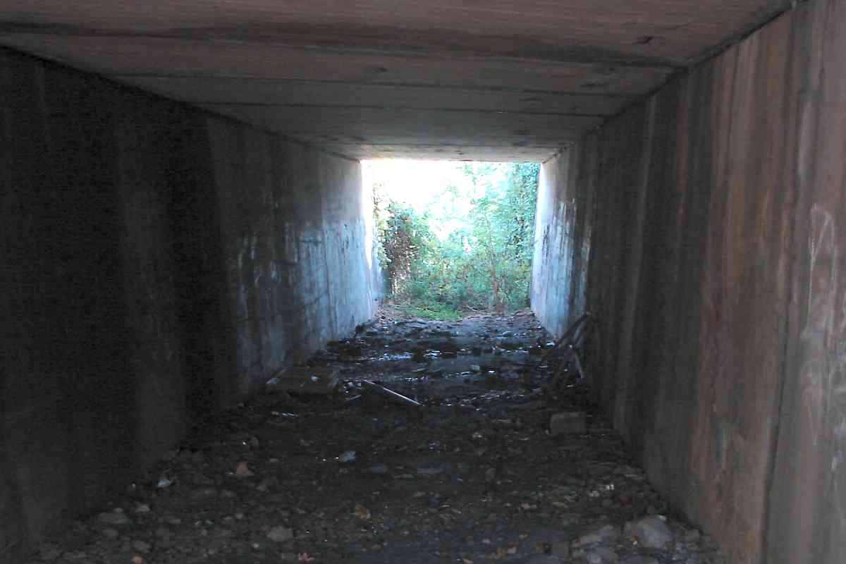
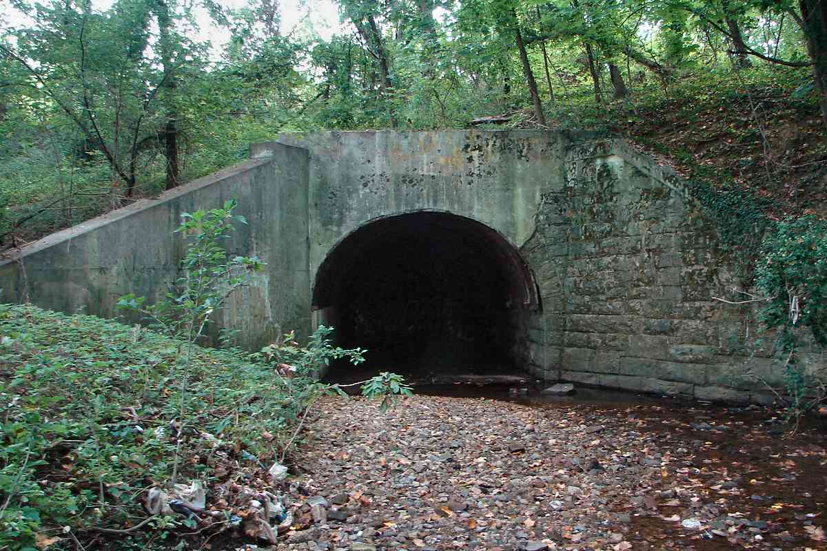
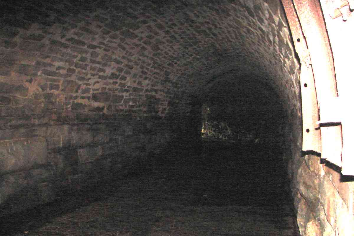
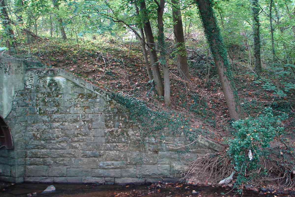
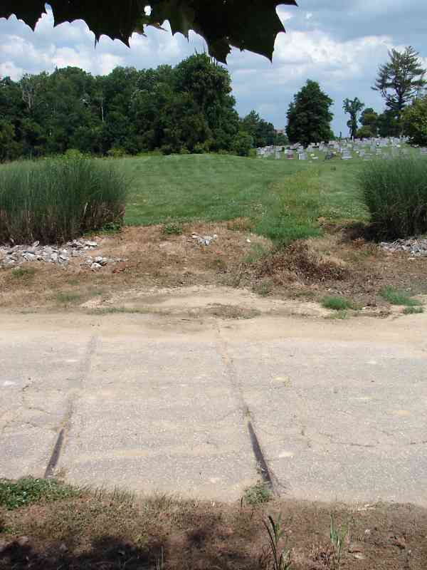
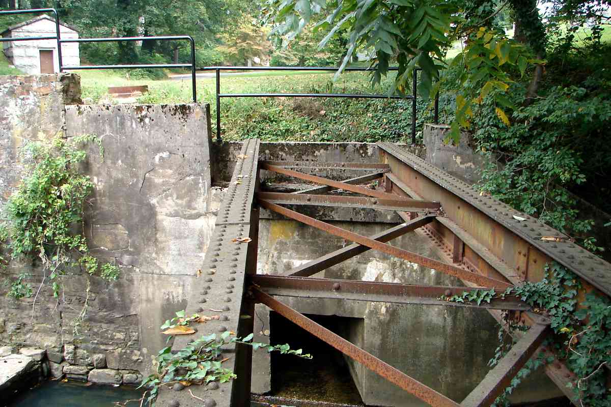
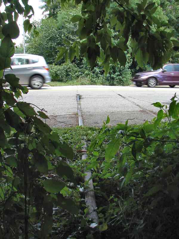
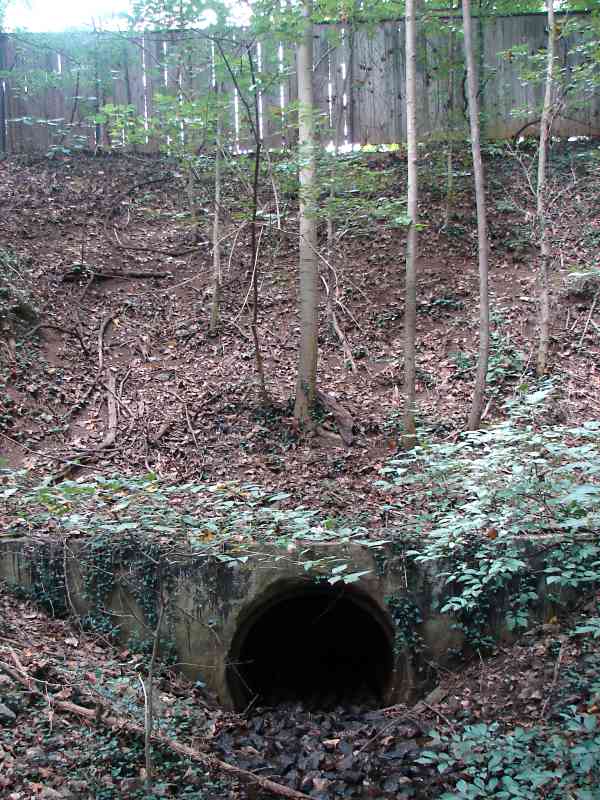
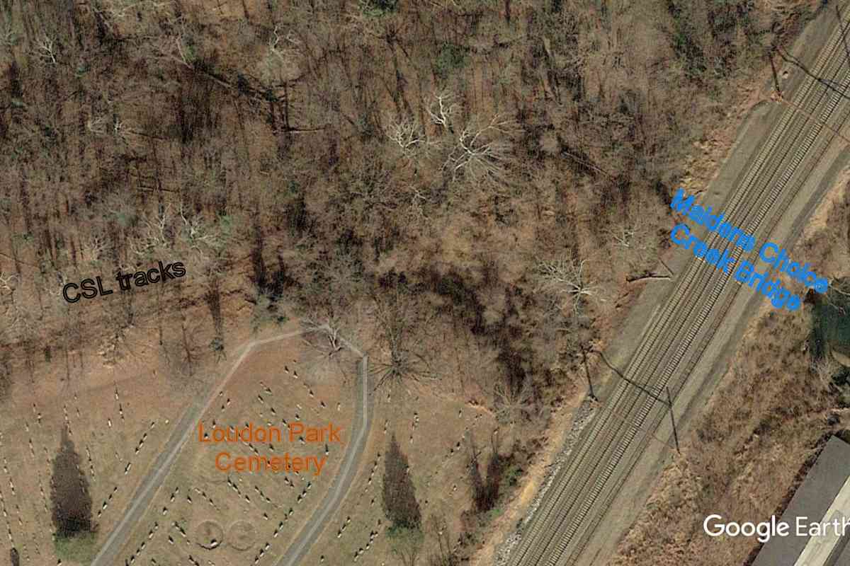
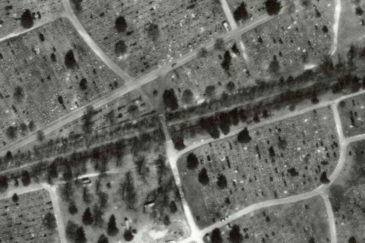
In the distance, Wilkens Avenue, MD 372, bridges overhead. The elevation dip of the rails
at the boulder marks where Maidens Choice Creek is spanned; note both it and the equipment
box for future reference. Evidence presented below indicates CSL and B&P shared a
small passenger station/stop in this area.
Links:
Calvert Station,
Calvert Station
|