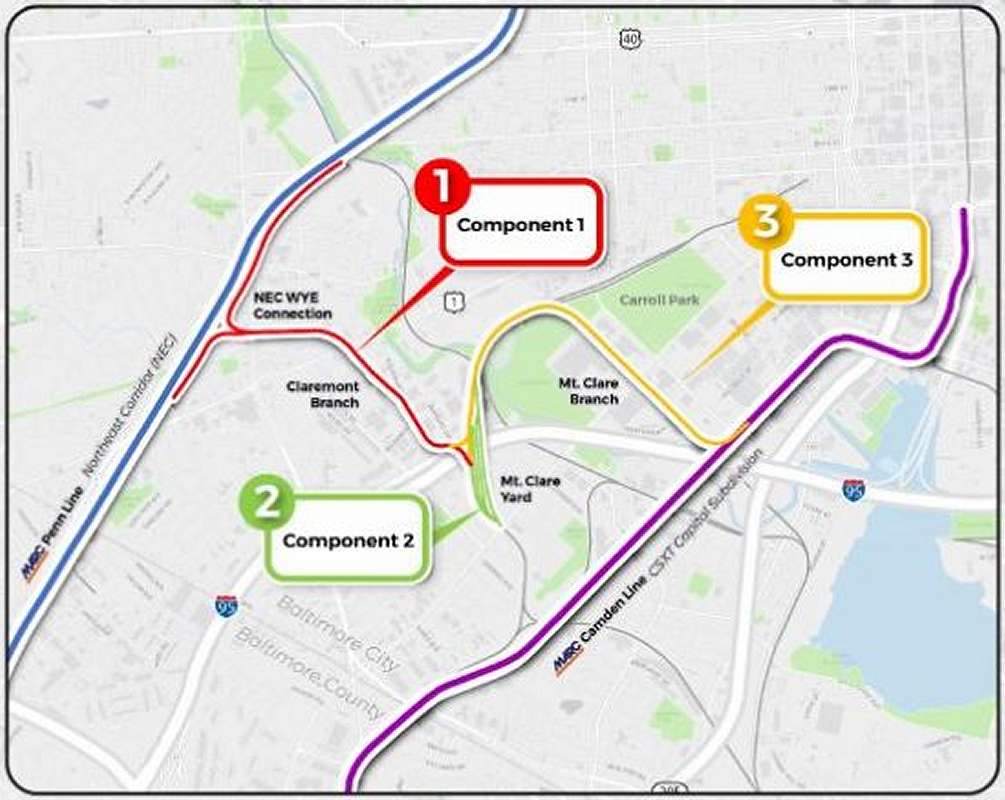
|
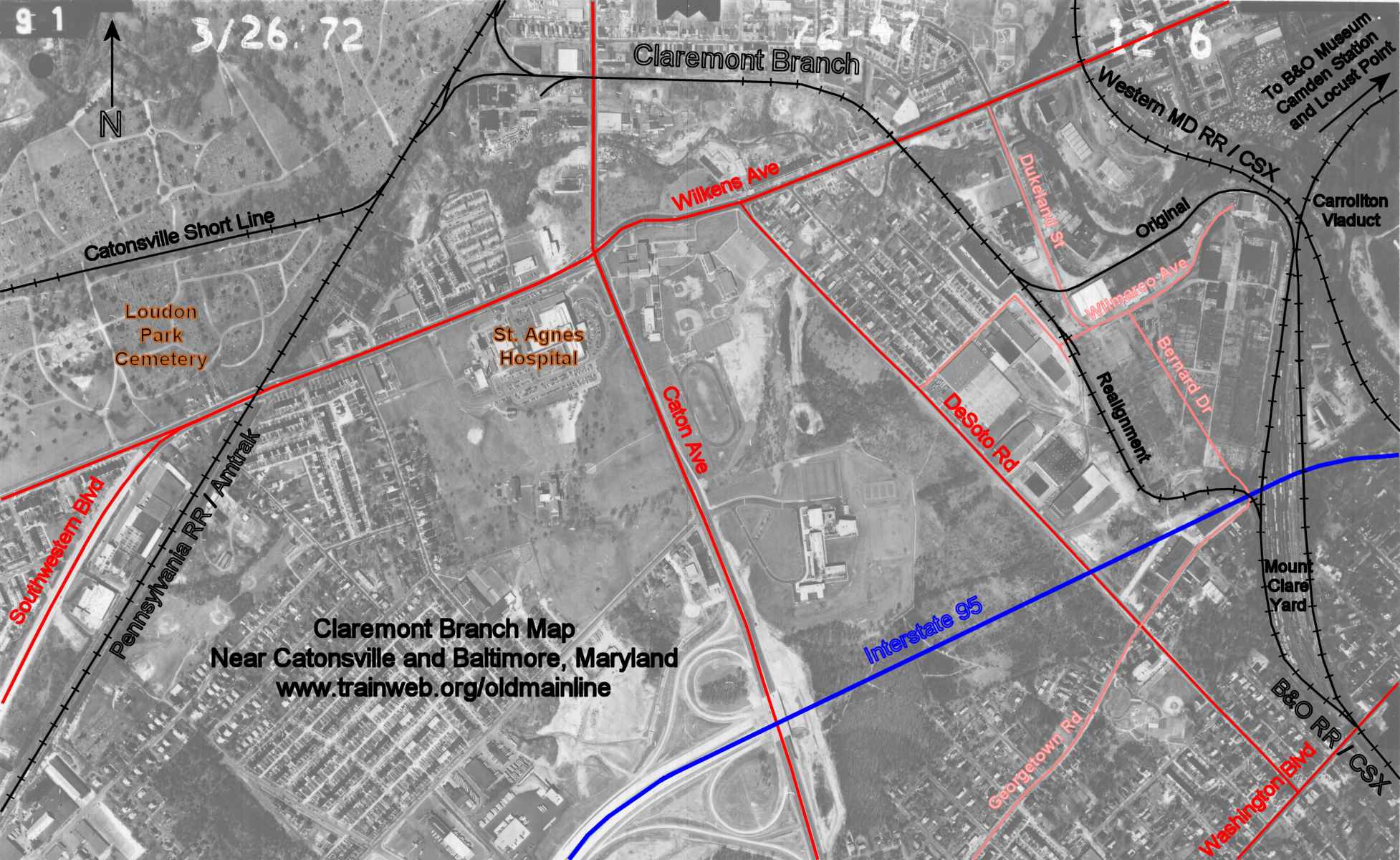
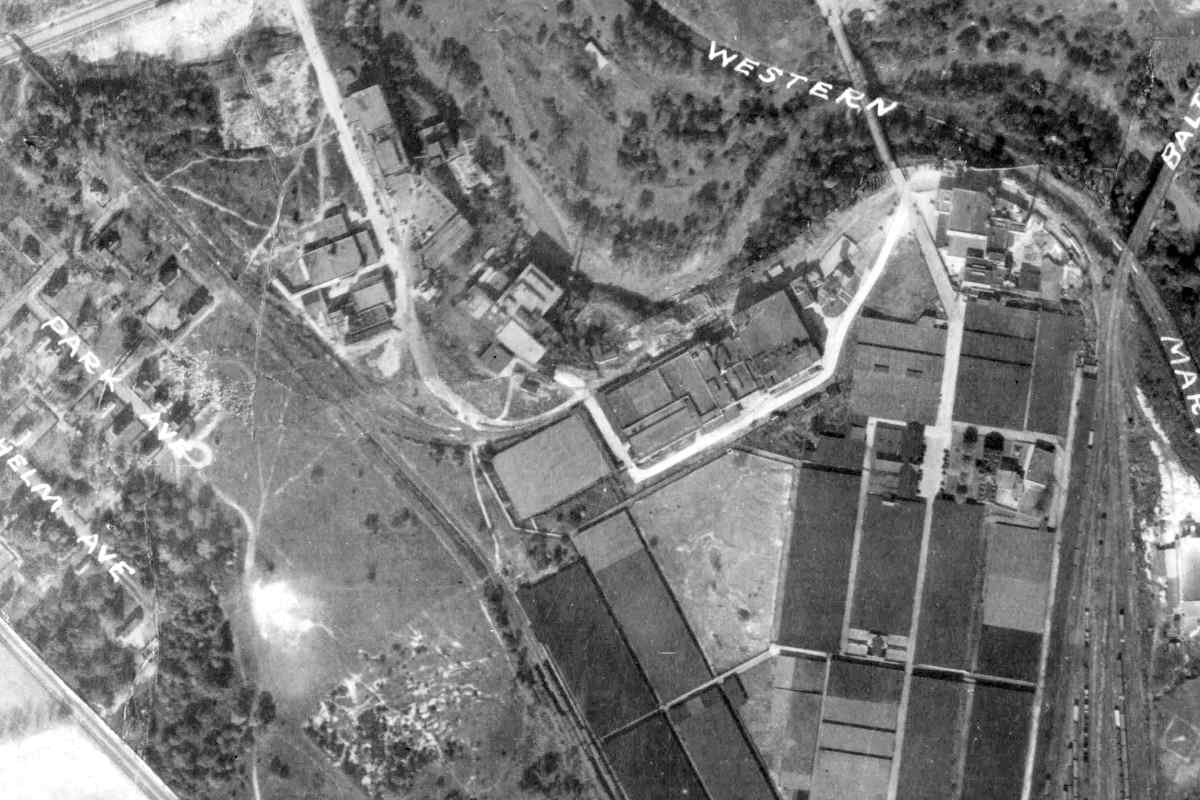
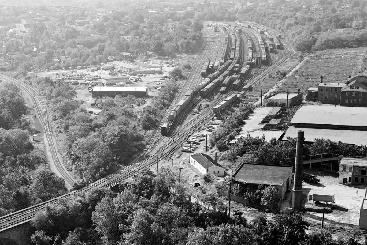
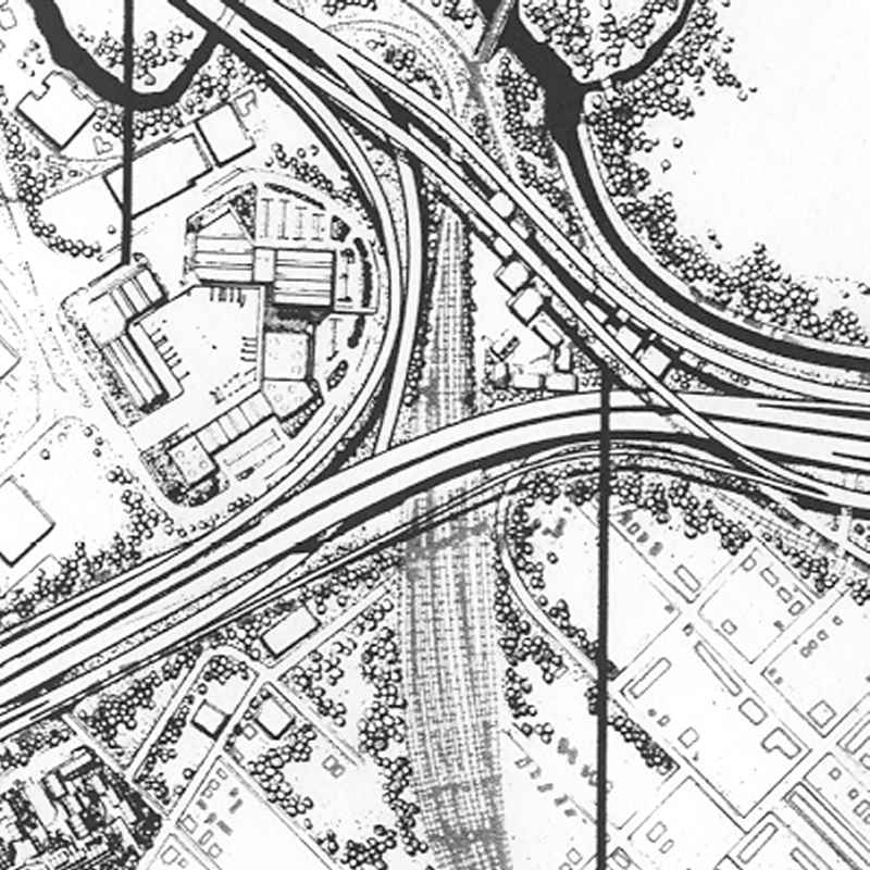
This aerial captures the same area 33 years after the atlas. By
this time, a connection between B&O & PRR is evident left of
center. Additionally, Western Maryland Railway has shoehorned
itself adjacent to Gwynns Falls.
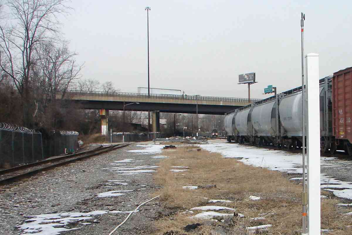
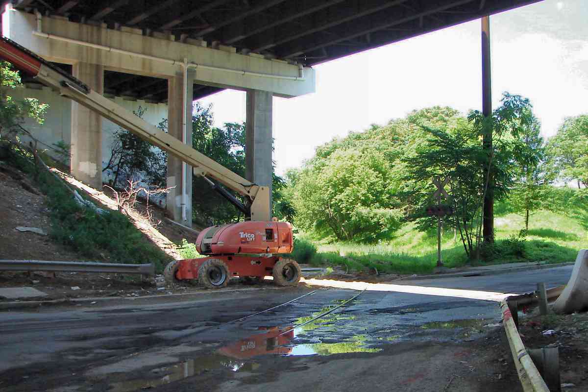
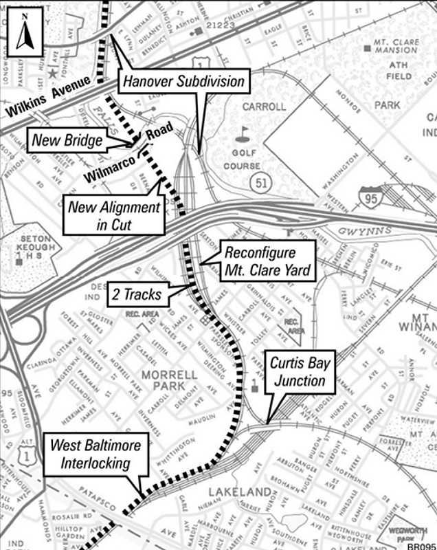
That's the branch's bridge over Wilkens Avenue at upper left.
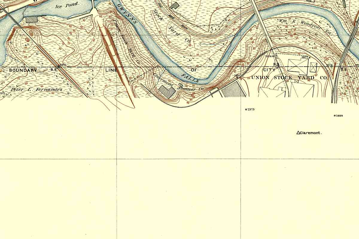
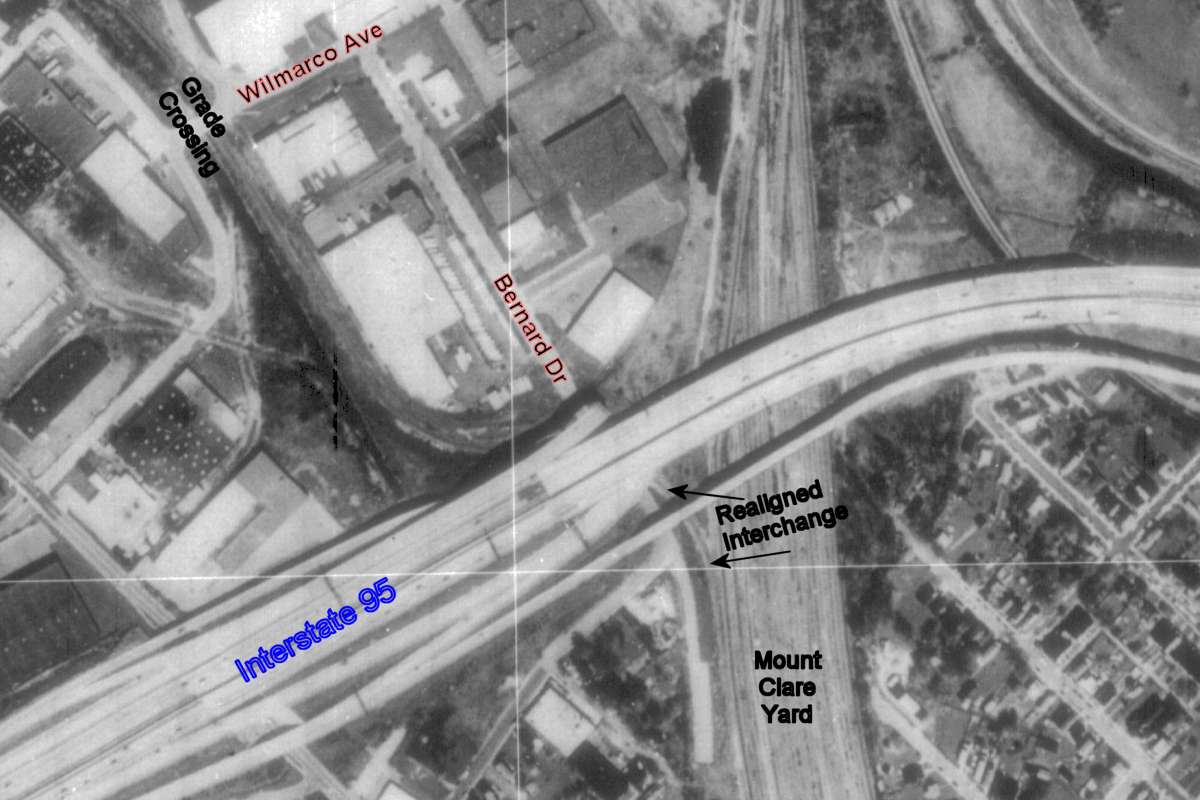
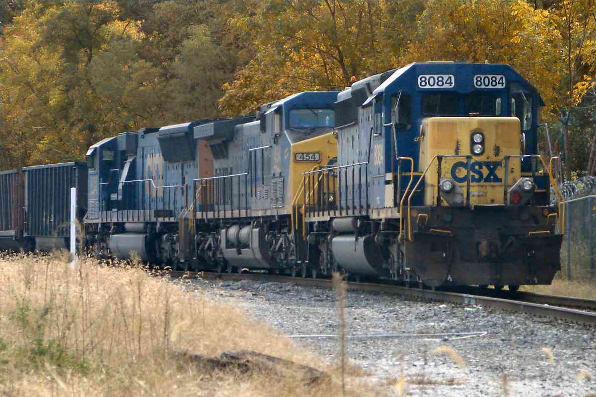
Mount Clare Yard is vertical at right.
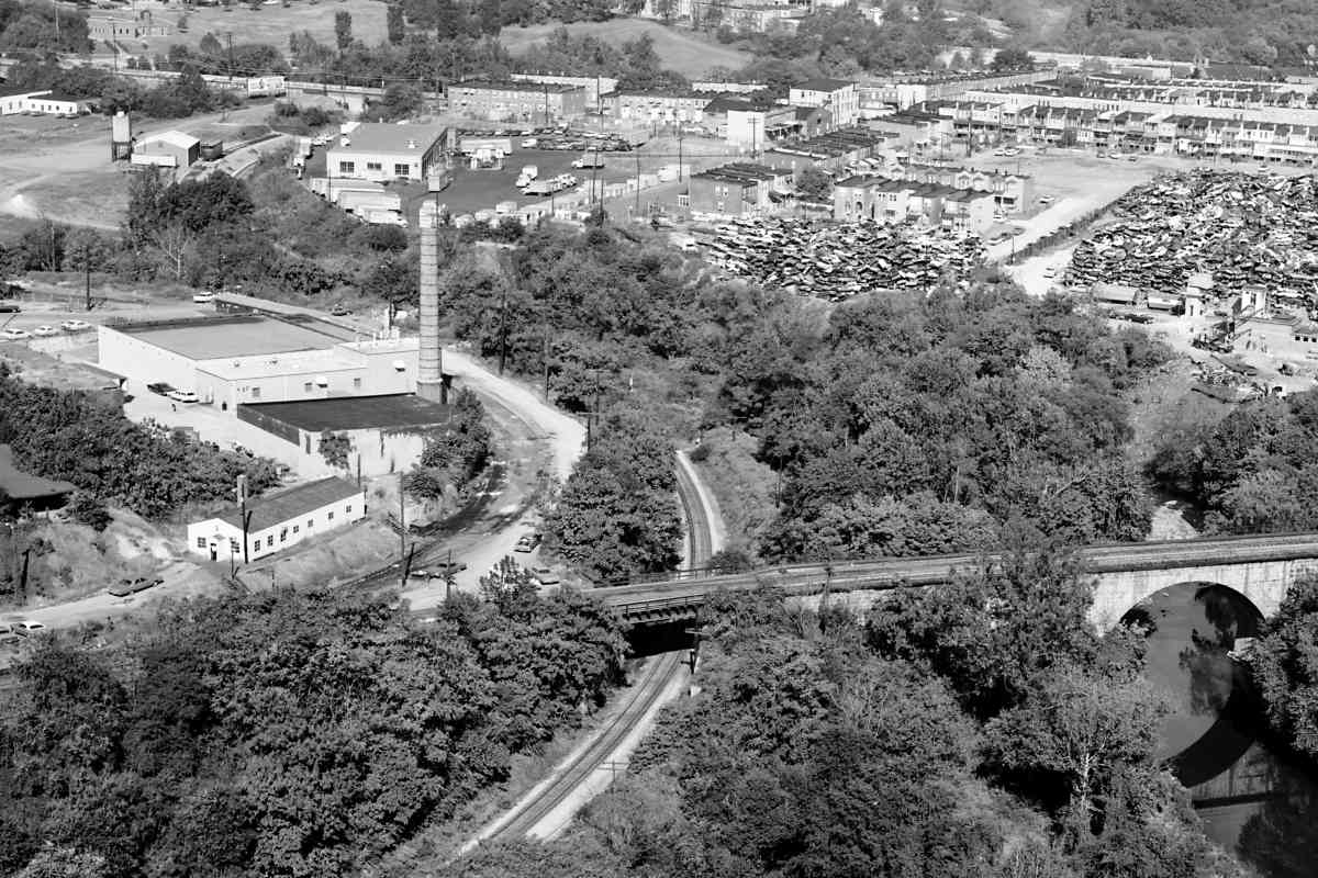
The adjacent, large warehouse-type buildings
housed meat processing facilities.
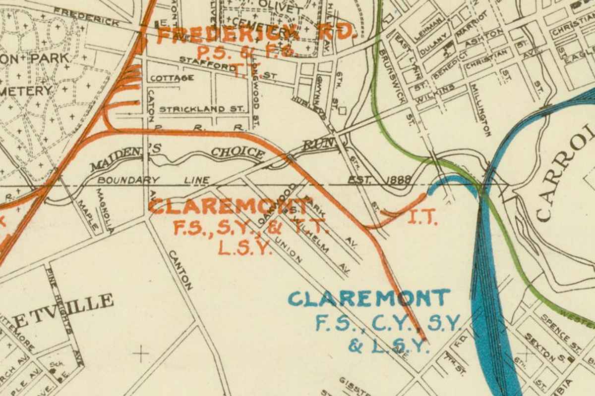
Refrigeration became commercially viable around the same time the
branch opened. Inexpensive ice meant prepared meat could be shipped
instead of the live animal. Though that gradually obviated the animal
pens, meat processing continued here for several more decades. The
old buildings were removed during the 1970s.
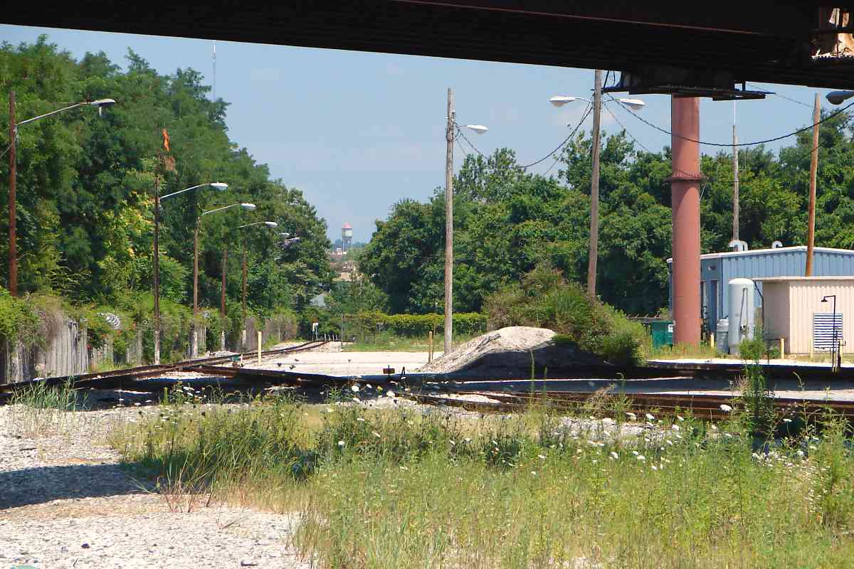
This tour proceeds generally west (left).
Link:
stockyard history here
|