


Click a photo to see a larger view. Please send your comments and corrections to Steve.
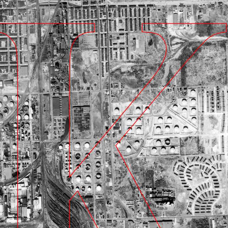
Photo courtesy Johns Hopkins University |
| |||||||||||
| ||||||||||||
|
| |||||||||||
| ||||||||||||
|
| |||||||||||
| ||||||||||||
|
| |||||||||||
| ||||||||||||
|
| |||||||||||
| ||||||||||||
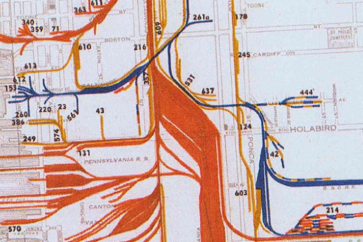
Image courtesy Johns Hopkins University |
| |||||||||||
| ||||||||||||
|
| |||||||||||
| ||||||||||||

Photo credit HH Harwood |
| |||||||||||
| ||||||||||||
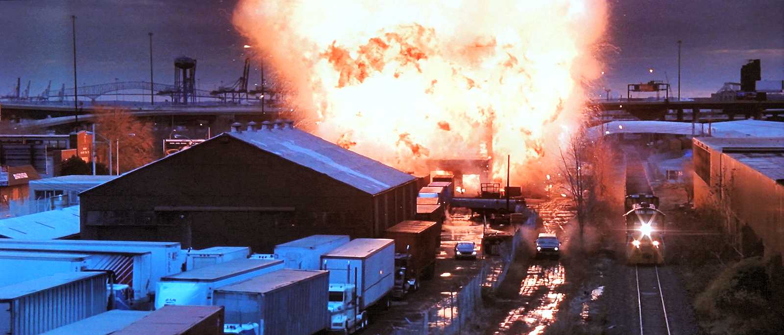
Screen capture (fair use) |
| |||||||||||
| ||||||||||||
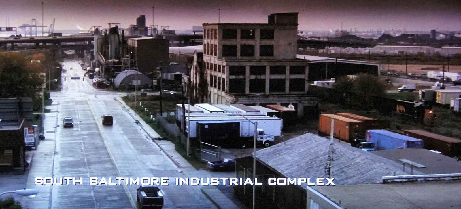
Screen capture (fair use) |
| |||||||||||
| ||||||||||||
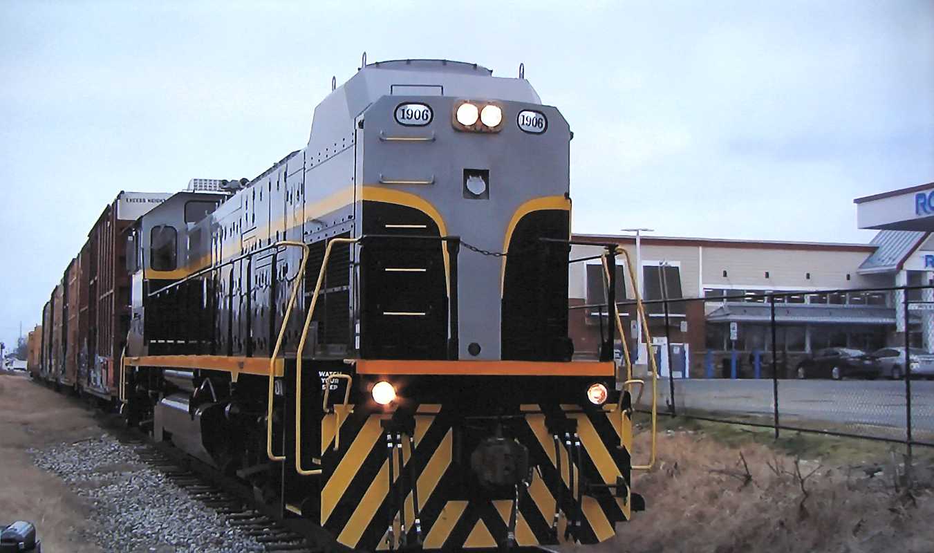
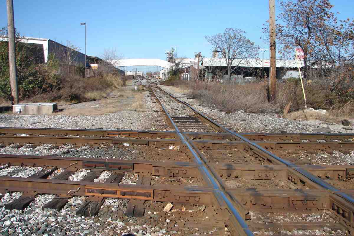
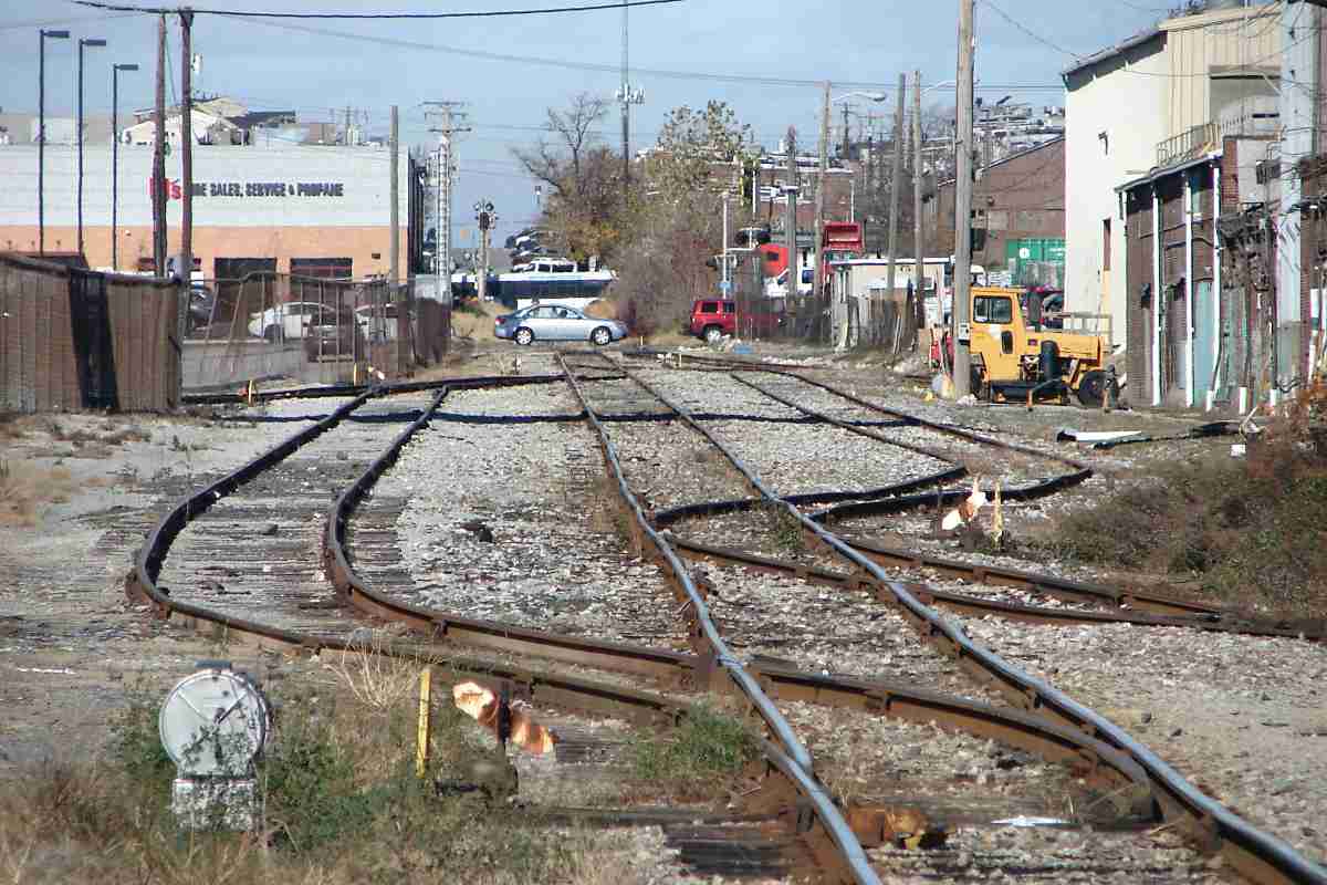
Photo courtesy Dave Hiteshew |
| |||||||||||
| ||||||||||||
|
| |||||||||||
| ||||||||||||
|
| |||||||||||
| ||||||||||||
|
| |||||||||||
| ||||||||||||
|
| |||||||||||
| ||||||||||||
|
| |||||||||||
| ||||||||||||
|
| |||||||||||
| ||||||||||||
|
| |||||||||||
| ||||||||||||
Photo courtesy Johns Hopkins University |
| |||||||||||
| ||||||||||||
Photo courtesy Johns Hopkins University |
| |||||||||||
| ||||||||||||
|
| |||||||||||
| ||||||||||||
|
| |||||||||||
| ||||||||||||
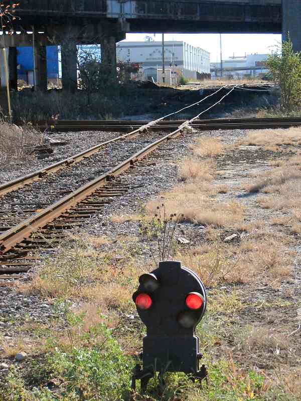
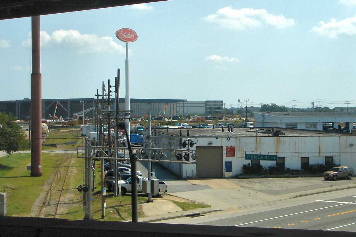
Photo courtesy Dave Hiteshew |
| |||||||||||
| ||||||||||||
|
| |||||||||||
| ||||||||||||
|
| |||||||||||
| ||||||||||||
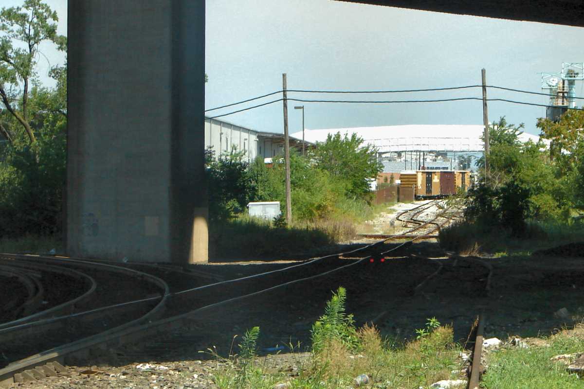
Photo courtesy Dave Hiteshew |
| |||||||||||
| ||||||||||||
|
| |||||||||||
| ||||||||||||
|
| |||||||||||
| ||||||||||||
Photo courtesy Johns Hopkins University |
| |||||||||||
| ||||||||||||
|
| |||||||||||
| ||||||||||||
|
| |||||||||||
| ||||||||||||
|
| |||||||||||
| ||||||||||||
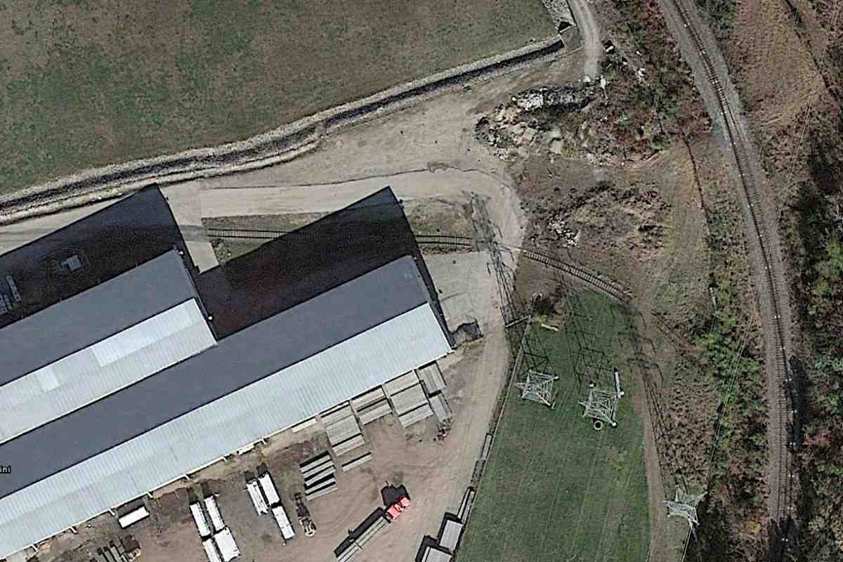
Photo courtesy Google |
| |||||||||||
| ||||||||||||
This tour ends here! You may enjoy the nearby ex-PRR, NS Sparrows Point trackage.
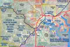
For more tours here now, select from the map:
Or, return to main page
Copyright Notice


