TrainWeb.org Facebook Page
Trolley Photo Tour


Trolley Line #9
Modern day photo tour

Accompanying each photo below are:

Click a photo to see a larger view. Please send your comments and corrections to Steve.


<< Previous (west) | THIS PAGE: Oella to Catonsville | End of tour || main index

Diverted Stream

Diverted Stream
Mile: 0.7 Date: Sep 1999
Ease: B View: E
Area: A BSTPY:
Map: Ba 40 G 4 Topographic Maps

The builders took an interesting approach here. Rather than construct two bridges to span a tiny bend of Cooper Branch, they cut through the rock to create a new, shorter flowpath for the stream. This trick seems to have been a success, the only notable drawback being soft, muddy ground where the stream had been originally.


Circular Culvert

Circular Culvert
Mile: 0.8 Date: May 2021
Ease: B View: SW
Area: A BSTPY:
Map: Ba 40 G 4 Topographic Maps

Where a creek is not wide, the company built culverts like this.


Arched Bridge

Arched Bridge
Mile: 1.2 Date: Sep 1999
Ease: B View: N
Area: A BSTPY:
Map: Ba 40 H 3 Topographic Maps

This bridge employs the shape of a standard curved arch, and seems to have stood up better than the other, more shallow arch seen above. The bright, clean mortar in places gives evidence of some reconstruction or patching.


Patching Needed

Patching Needed
Mile: 1.2 Date: Apr 2022
Ease: B View: SW
Area: A BSTPY: 52-53
Map: Ba 40 H 3 Topographic Maps

The outlet end could use some patching itself.


Another Brick in the Circle

Another Brick in the Circle
Mile: 1.5 Date: Apr 2022
Ease: B View: NE
Area: A BSTPY:
Map: Ba 40 J 2 Topographic Maps

Another brick-lined circular culvert exists not far from the trail's eastern end. It is similar to one along the ex-Pennsylvania Railroad line about five miles from here, which makes me wonder if the same contractor built both.


Steep

Steep
Mile: 1.6 Date: Apr 2022
Ease: B View: E
Area: A BSTPY:
Map: Ba 40 J 2 Topographic Maps

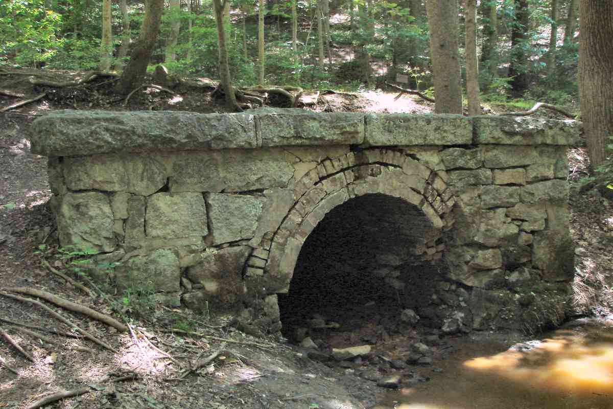
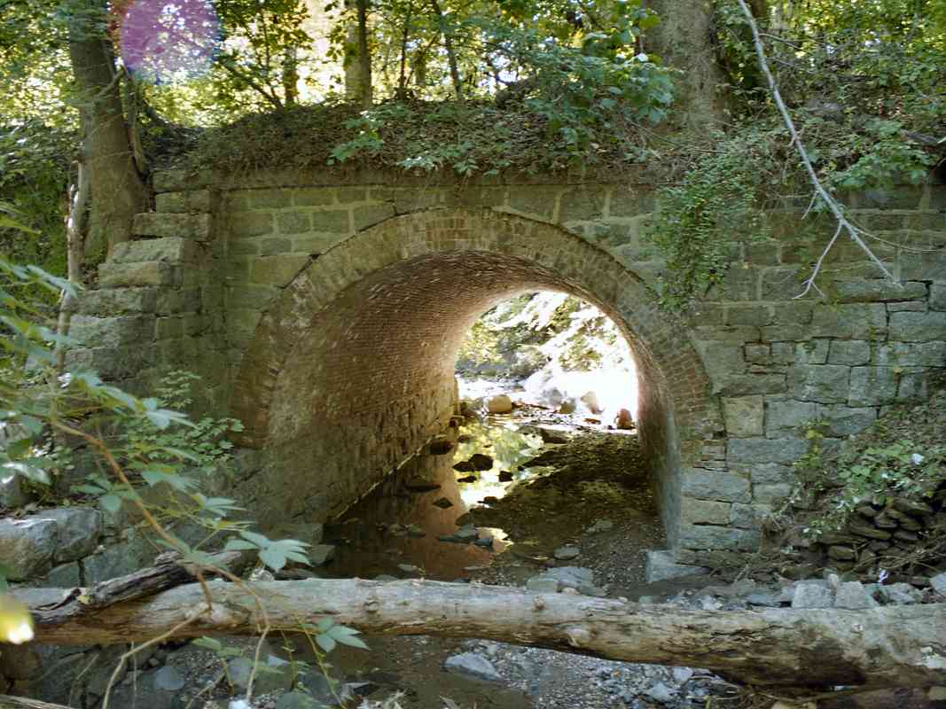
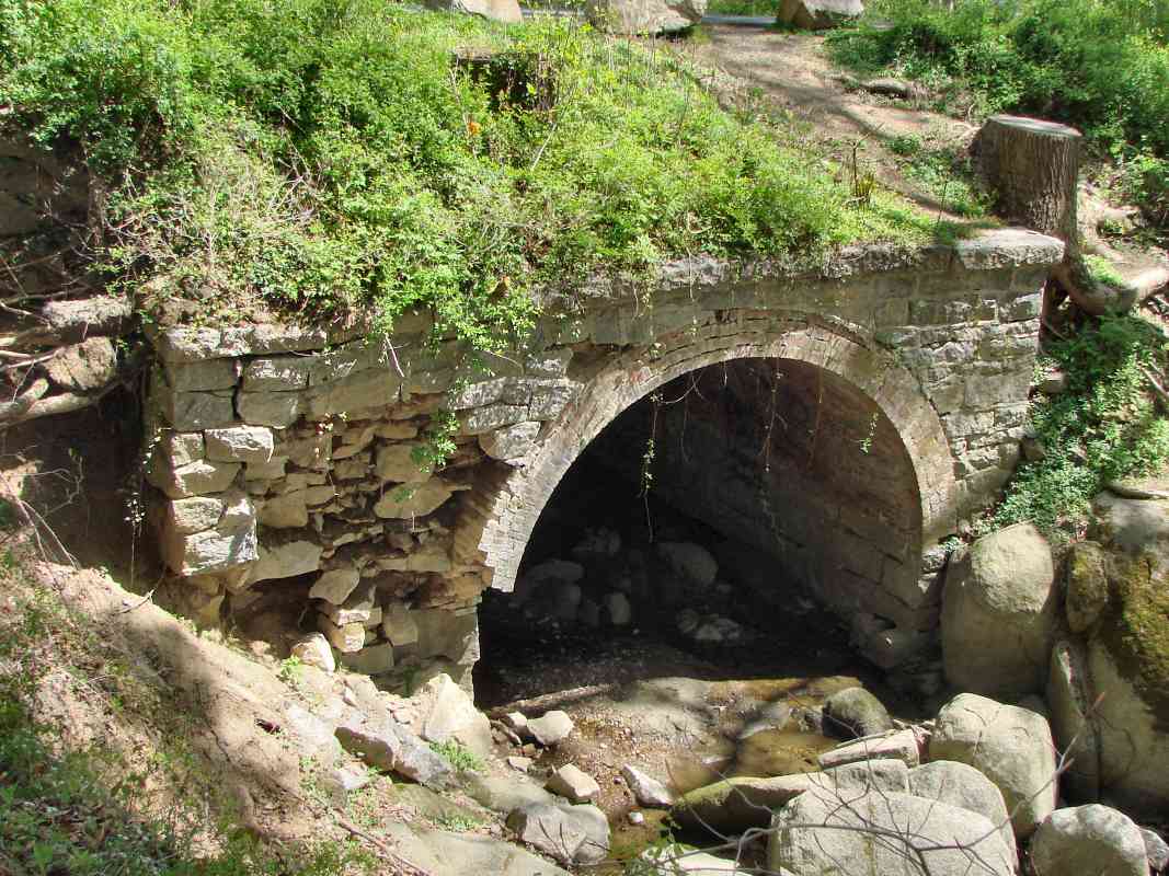
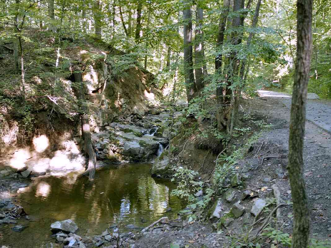
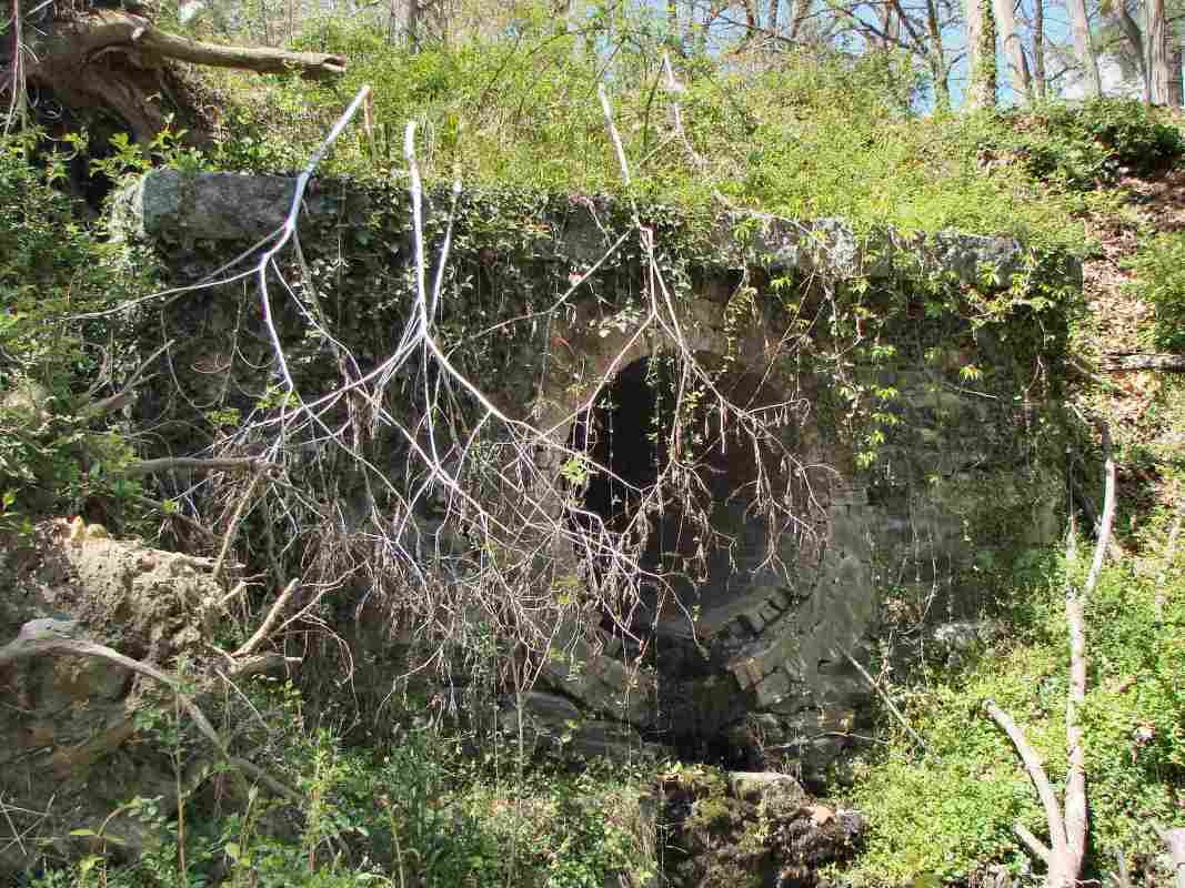
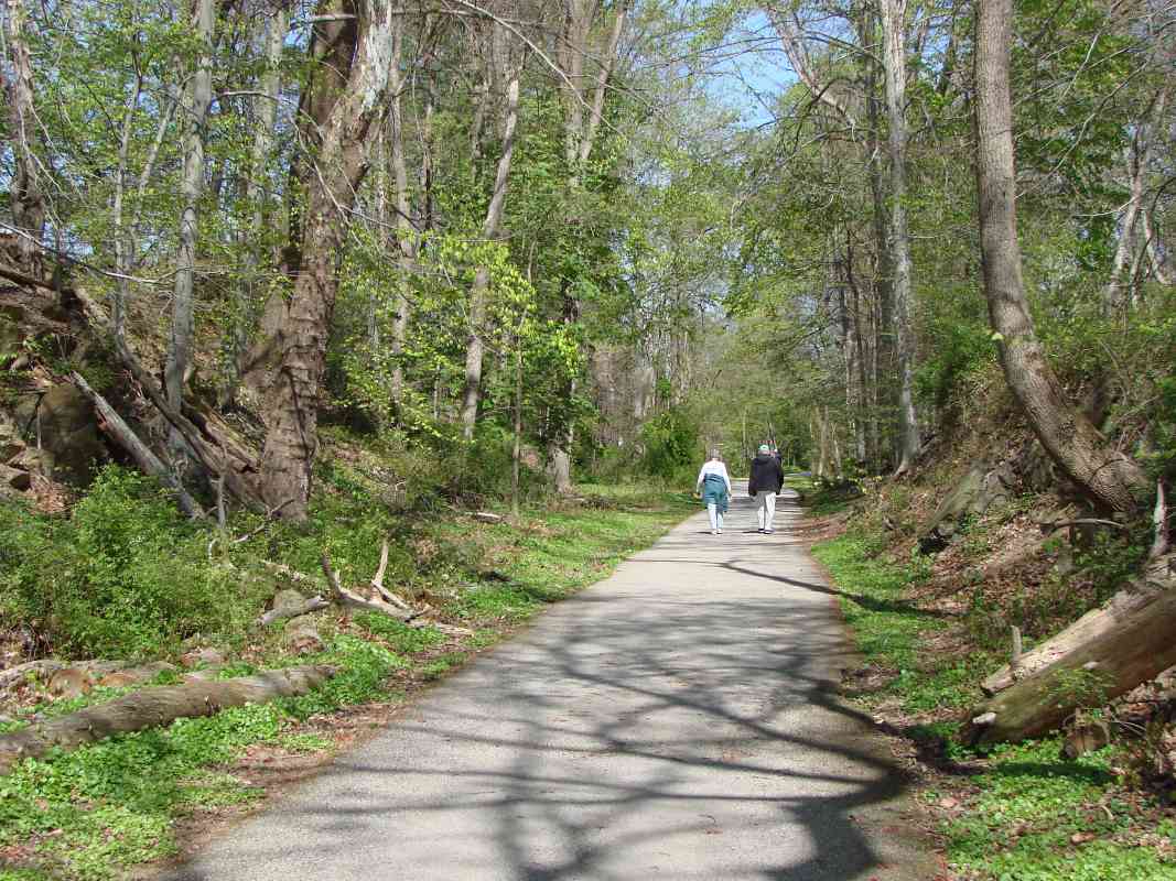
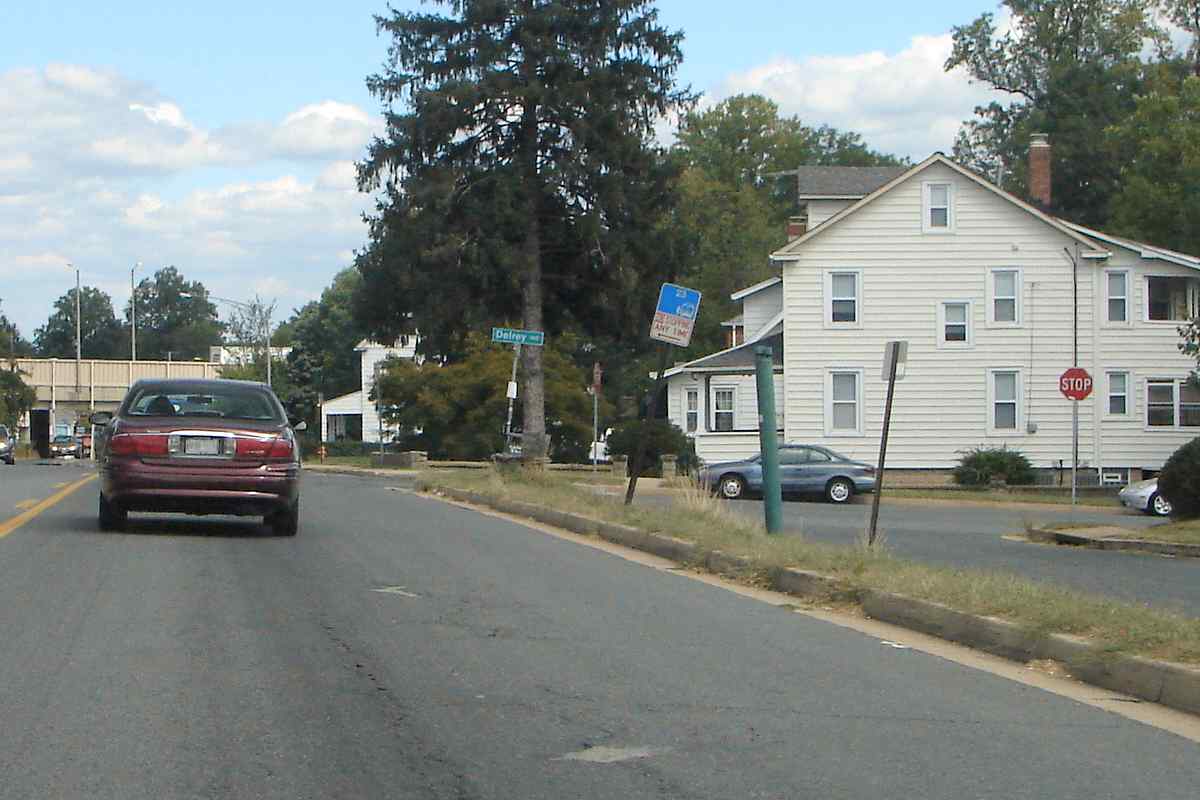
The trail averages roughly a 3.2% grade, with some sections around 4%. Such grades would be a problem for heavy freight trains, but only the relatively-lighter trolley cars operated here.

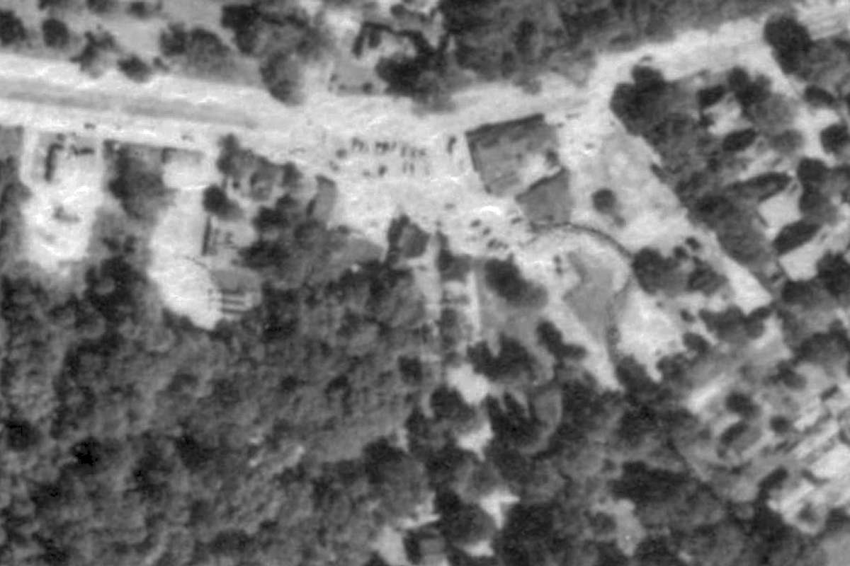
This was some of the steepest mileage in the Baltimore streetcar system, plus one of the least-developed areas. A trail walker who had ridden Trolley #9 during the 1950s told me operators would sometimes engage the throttle while heading down the grade (west) in order to thrill passengers, while madly dinging the trolley's bell to warn anyone near. She reported this was no problem unless the car began to sway, at which point a derailment could, and sometimes did, happen. It is difficult to imagine speedy rides like that in today's litigious environment.

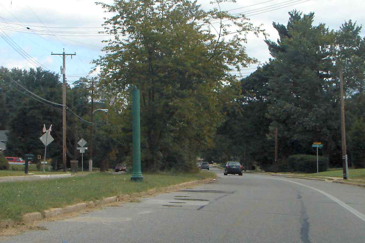
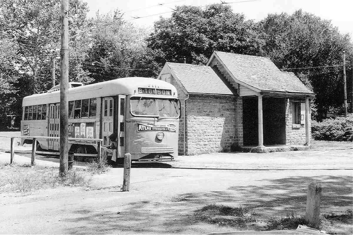
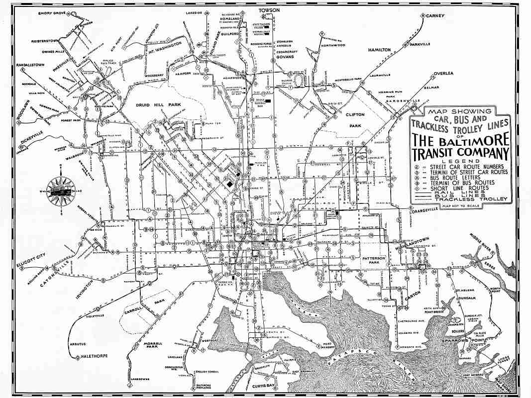
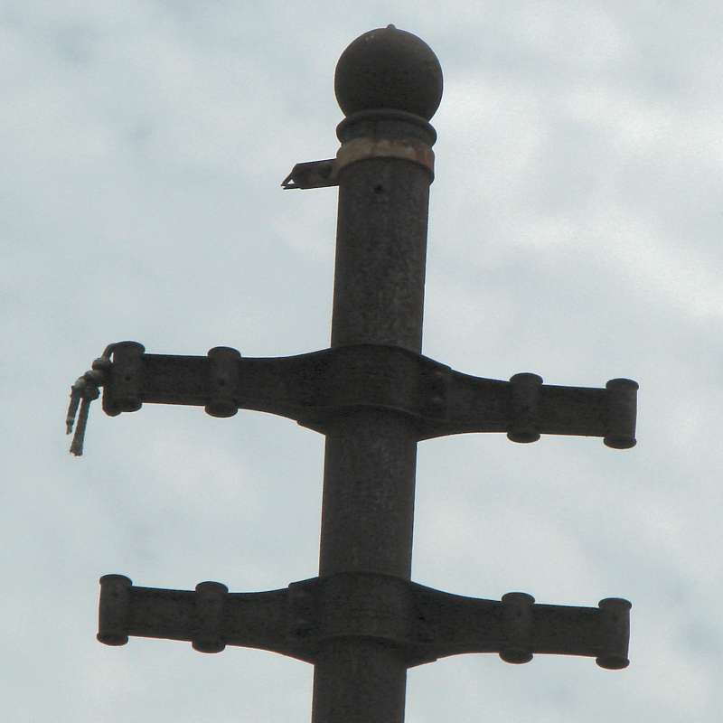
The line was signalled, as seen in the photo linked below.

Link: near here ~1955


Edmondson Avenue

Edmondson Avenue
Mile: 1.7 Date: Apr 2022
Ease: A- View: E
Area: A BSTPY:
Map: Ba 40 J 2 Topographic Maps

Where the trail reaches Edmondson Avenue, a Stop sign leans so as to be seen beyond a fence that blocks motorized vehicles from entering the trail.

Baltimore County planned to extend Edmondson Avenue westward during the 20th century, but community opposition squelched that; consequently, we have an enjoyable trail to walk.


East End
Updated May 2026

East End
Mile: 1.7 Date: Sep 2010
Ease: A View: NW
Area: A BSTPY:
Map: Ba 40 H 3 Topographic Maps

The trail ends (or begins!) here at the intersection of Edmondson Avenue and Chalfonte Road in Catonsville. Edmondson Avenue was extended west to here from Old Frederick Road around the time Catonsville Middle School was built.

Link: trolley interior 1943


Old Frederick Road

Old Frederick Road
Mile: 2.1 Date: Sep 2010
Ease: A View: E
Area: A BSTPY: 48, 51
Map: Ba 40 K 3 Topographic Maps

Where the trail ends, Edmondson Avenue picks up to help us follow the trolley's path. Just east of Old Frederick Road, this green pole may have been a trolley artifact, but perhaps was a gas line vent. Whatever it was, it is no longer extant.

Originally, from here to Rolling Road, the trolley ran where the westbound lanes of Edmondson Avenue (left) are now found. After road expansion, the trolleys rolled in the grassy median.

Links: streetcar along Edmondson ~1950, 1961


Catonsville Junction

Catonsville Junction
Mile: 2.8 Date: Sep 2010
Ease: A View: E
Area: A BSTPY: 50
Map: Ba 41 B 3 Topographic Maps

For the final 9 months of its life (until June 19, 1955), the #9 streecar operated as a shuttle between Ellicott City and Catonsville Junction where Dutton Road intersects Edmondson Avenue. Lines #9, #8 and #14 met here.

Prior to cutbacks, #9 continued to its eastern end at Lexington and Charles Streets. The short building at distant right is seen in the 1963 photo below.

Links: ~1950, ~1950, color 1951, here 1955, 1955


PCC 7111
Photo courtesy Joe Testagrose collection
NEW! May 2026

PCC 7111
Mile: 2.9 Date: Aug 1963
Ease: A View: E
Area: A BSTPY:
Map: Ba 41 B 3 Topographic Maps

PCC 7111 rides line #8's terminal loop to turn back to Towson as it had done for about 63 years. Service would end later in 1963. The stone passenger shelter looks like it could also date back to around 1900, but it was built in 1939 out of Belgian block pavers repurposed from Baltimore. Transfers from/to line #9 happened off photo left.

Links: source photo, line 9 here 1955, historical marker


Catonsville Shelter
NEW! May 2026

Catonsville Shelter
Mile: 2.9 Date: Apr 2026
Ease: A View: E
Area: A BSTPY:
Map: Ba 41 B 3 Topographic Maps

Add another 63 years and the scene remains similar, though without streetcars. Find this old shelter at the western end of the #8 Streetcar Path, a rails-to-trails effort.

Link: Catonsville Rails to Trails


Aerial 1927
Photo courtesy Johns Hopkins University
NEW! May 2026

Aerial 1927
Mile: 2.9 Date: 1927
Ease: View: N (up)
Area: BSTPY:
Map: Ba 41 B 3 Topographic Maps

The shelter did not yet exist at the time of this aerial photo. Edmondson Avenue runs horizontally across the top. Line #8 is the thin, bright \ diagonal that appears to end without a loop for cars to turn. The vertical bright line along Dutton Avenue looks like that of a trolley, but I was not able to find any confirmation online. Perhaps it served as part of a loop for line #8.


Aerial 1952
Photo courtesy Johns Hopkins University
NEW! May 2026

Aerial 1952
Mile: 2.9 Date: Aug 1952
Ease: View: N (up)
Area: BSTPY:
Map: Ba 41 B 3 Topographic Maps

By 1952, line #8's car loop is revealed by the dark question-mark shape in the right half. The passenger shelter is found within the question mark's curl.


Delrey Road

Delrey Road
Mile: 4.0 Date: Sep 2010
Ease: A View: E
Area: A- BSTPY: 48
Map: Ba 41 E 2 Topographic Maps

Though it has gone more than a half century without purpose, what may be another green catenary pole leftover stands just west of Delrey Road.

Small, parallel streets like that on the right are often remnants of former road or railway alignments, however, in this case, careful examination of old aerial photos reveals this example is neither. Instead the trolley had operated on the left side here. At distant left, crossing over Edmondson is I-695, the Baltimore Beltway.

Link: streetcar memories


Chapelgate
NEW! May 2026

Chapelgate
Mile: Date: Aug 2022
Ease: A View: E
Area: B BSTPY: 46
Map: Ba 41 K 2 Topographic Maps

globe top Remants of line #8 that met line #9 back at Catonsville Junction can be found along Frederick Road near Chapelgate. The trolley wire poles that survive tend to be ones repurposed to hold other items, such as signage.

To help find such relics, look for poles with a globe shape on top. That was a common pole design used by the trolley system. A wooden insulator still dangles from this one's left arm.

Detour: surviving trolley wire poles along line #27


System Map 1941
Image courtesy Johns Hopkins University

System Map 1941
Mile: Date: 1941
Ease: View: N (up)
Area: BSTPY:
Map: Ba Topographic Maps

By 1941, Baltimore's streetcar system was evolving into one with buses and trackless trolleys (buses powered via overhead catenary). Trolley line #9's Ellicott City terminal appears toward lower left.

This tour ends here! If you spot more trolley artifacts along Edmondson, please let me know.

Link: trackless trolley 1947


<< Previous (west) | THIS PAGE: Oella to Catonsville | End of tour || main index

For other tours here now, select from the map: clickable map

Or, return to main page

Copyright Notice