TrainWeb.org Facebook Page
CSX Landover Subdivision Photo Tour


CSX Landover Subdivision
Modern day photo tour

Accompanying each photo below are:

Click a photo to see a larger view. Please send your comments and corrections to Steve.


Special Note: >>> Some places described on this page host quiet, high-speed trains. Stay well clear! <<<

<< Previous (southwest) | THIS PAGE: Landover Subdivision | Next (south) >>

Brief Historical Background: CSX Landover Subdivision

Map 1893
Photo courtesy Library of Congress

Map 1893
Mile: Date: 1893
Ease: View: N (up)
Area: T6:
Map: Topographic Maps

This tour begins near Benning and proceeds northeast to Bowie along what during 1893 had been B&P's main line.

Though this map shows Anacostia as the first station east of the Anacostia River, instead that station was located along a spur to the southeast of Benning.

Benning Station was the first one east of the Anacostia River. The station is gone, but a yard by the same name survives, as seen next.


Benning Yard
Photo courtesy District Department of Transportation (DDOT) Library

Benning Yard
Mile: 133.5 Date: ~1960
Ease: View: W
Area: C T6:
Map: DC 17 A 1 Topographic Maps

CSX's RF&P Subdivision approaches the camera and ends at the Anacostia River Bridge at upper left. There the Landover Subdivision begins and heads northeast toward the camera and into Benning Yard.

At photo time, approaching trains could be directed to the B&O's Alexandria Extension (the nearest tracks), or to PRR's Landover to South End line (the tracks closer to the river).

This aerial view is from over C Street SE. Crossing over the yard is the Anacostia Freeway, DC 295. At left, downstream from the rail bridge is an automobile bridge for Pennsylvania Avenue. District of Columbia Stadium, later renamed RFK Stadium, would soon be completed just off the photo's upper right corner.

Links: 1985, snowy 2006, 2016


About to Join

About to Join
Mile: 132.7 Date: Sep 2017
Ease: B+ View: W
Area: C T6:
Map: DC 17 C 1 Topographic Maps

Northeast of Benning Yard, near Benning Road at what is called Anacostia Junction, an approaching Washington Metro train will slip between what are now CSX's Alexandria Extension (left) and the Landover Subdivision (right, with coal hoppers). RFK Stadium stands in the distance at top center.


Minnesota Avenue

Minnesota Avenue
Mile: 132.6 Date: Jul 2019
Ease: B View: NE
Area: C T6:
Map: DC 17 C 1 Topographic Maps

The track amalgamation sums to seven, but only two serve Minnesota Avenue Station.

Metro wound up in the middle so as to not hem in either PRR (left) or B&O (right). Now, due to the Conrail break up, CSX controls both sides. This Landover Subdivision tour page follows the ex-PRR line, the one on left with the catenary poles.


Deane Avenue

Deane Avenue
Mile: 132.1 Date: Jul 2005
Ease: A View: E
Area: C+ T6:
Map: DC 11 C 13 Topographic Maps

The train above is riding the Landover Subdivision. Though CSX repainted open hopper 488524 that it inherited from Conrail, it retained the NYC reporting mark. In the past, WB&A trains crossed under the railroads here.

Change for: WB&A tour at this site


Deanwood Station

Deanwood Station
Mile: 131.5 Date: Jul 2019
Ease: B View: NE
Area: C+ T6:
Map: DC 11 E 12 Topographic Maps

Metro's Deanwood Station is almost a mile northeast of Minnesota Avenue Station. From it we can see ex-PRR signals on the left. Those same signals appear from the opposite direction in the next photo.


CSX 304

CSX 304
Mile: 131.3 Date: Mar 2022
Ease: A View: SW
Area: C+ T6:
Map: DC 11 E 12 Topographic Maps

PRR signal 
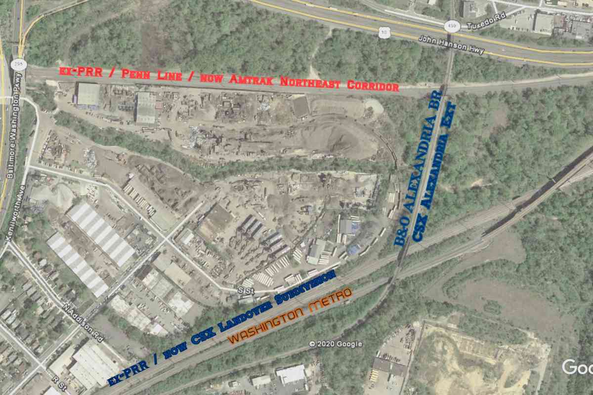
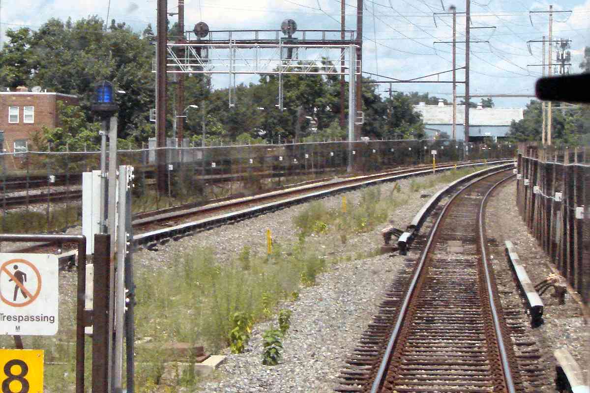
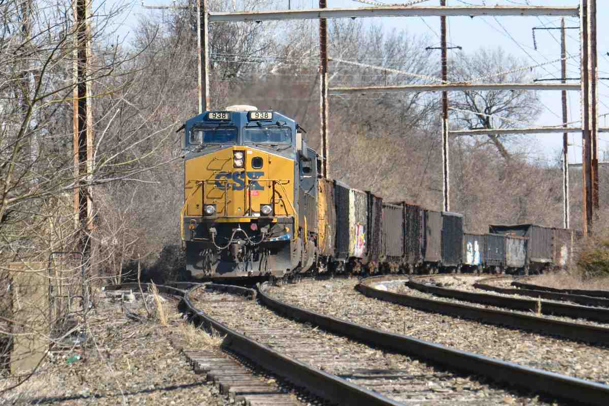
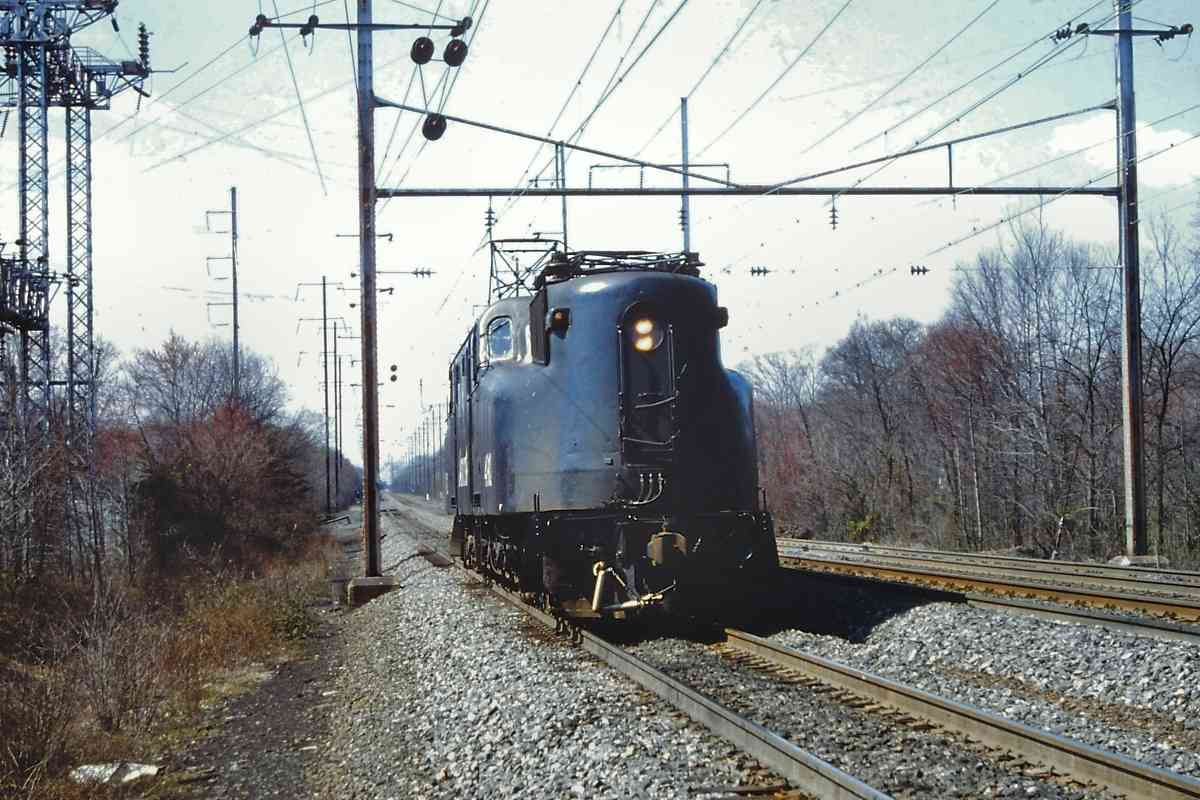
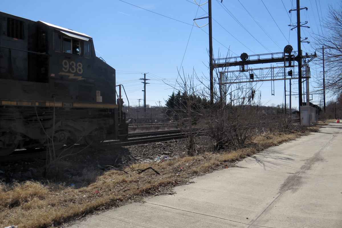
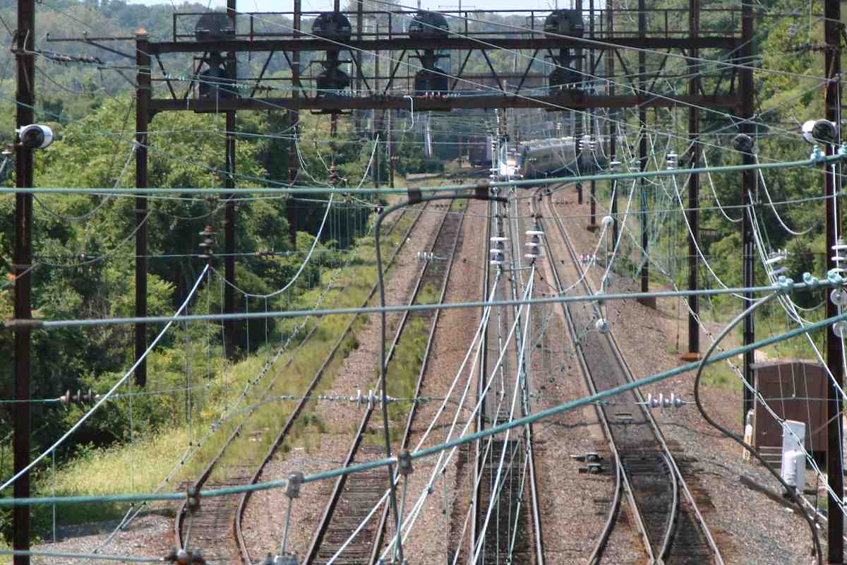
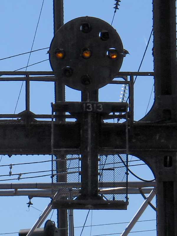
Amtrak colorized the Northeast Corridor signals it inherited from PRR, but this line became Penn Central's, then Conrail's, and finally CSX's. All of those rail companies left these signals in monochrome PRR form, and as of 2022 they are two of this region's few such survivors.

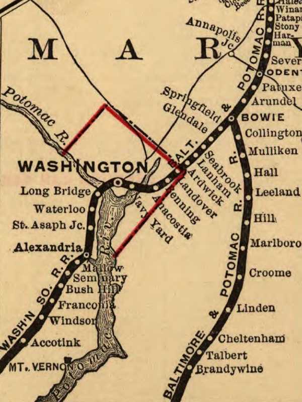
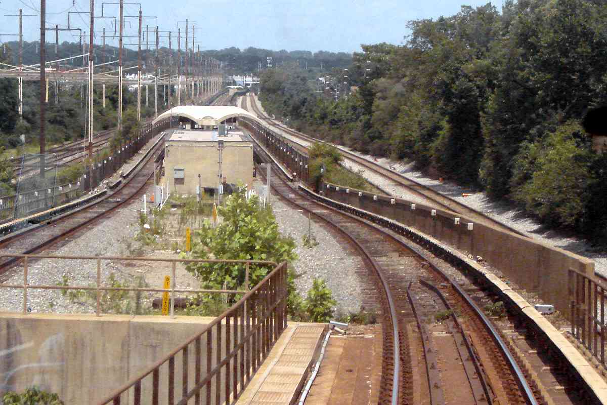
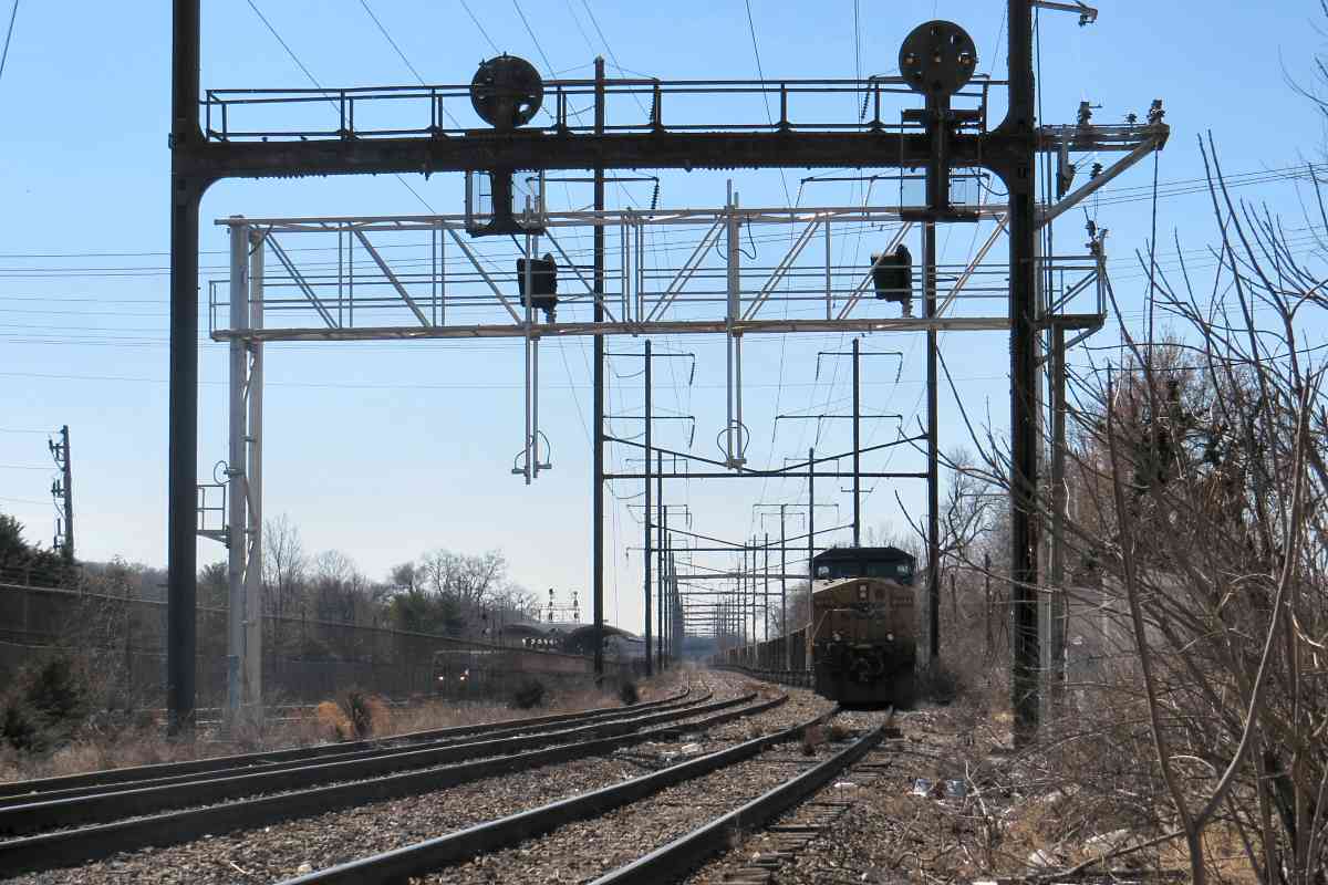
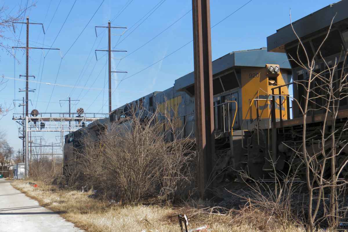
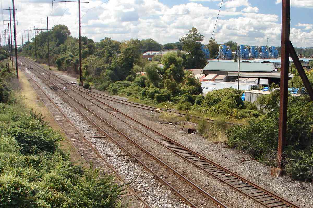
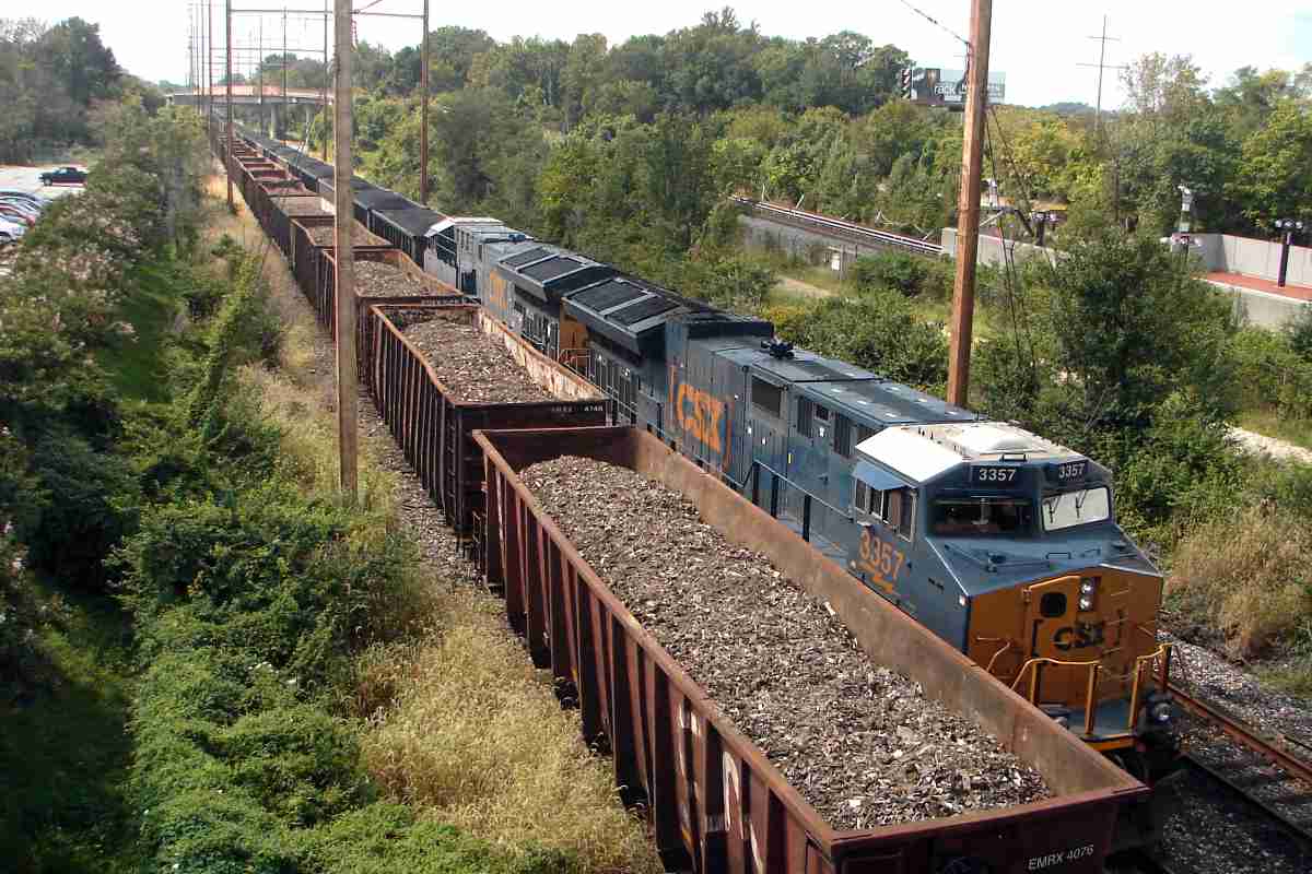
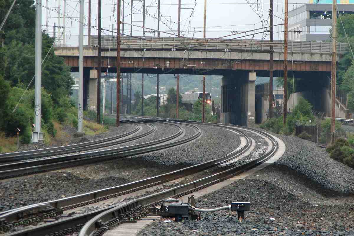
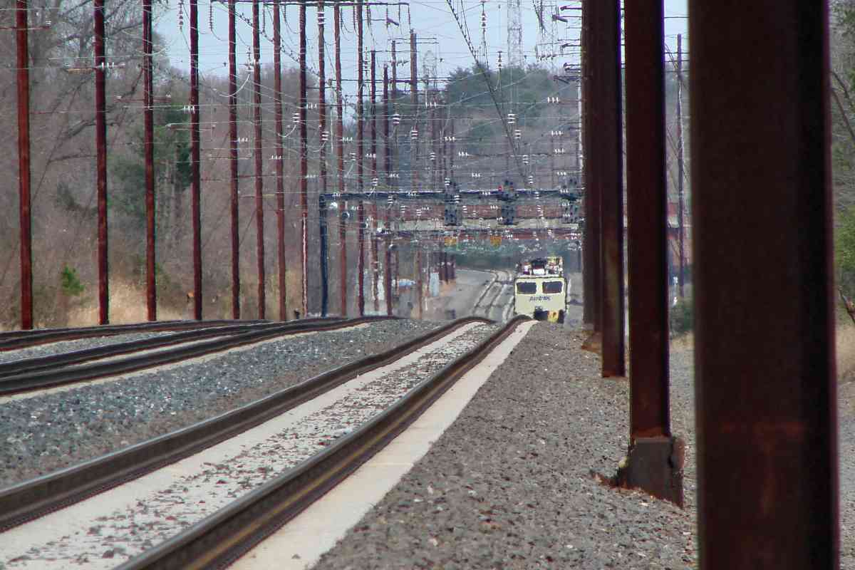
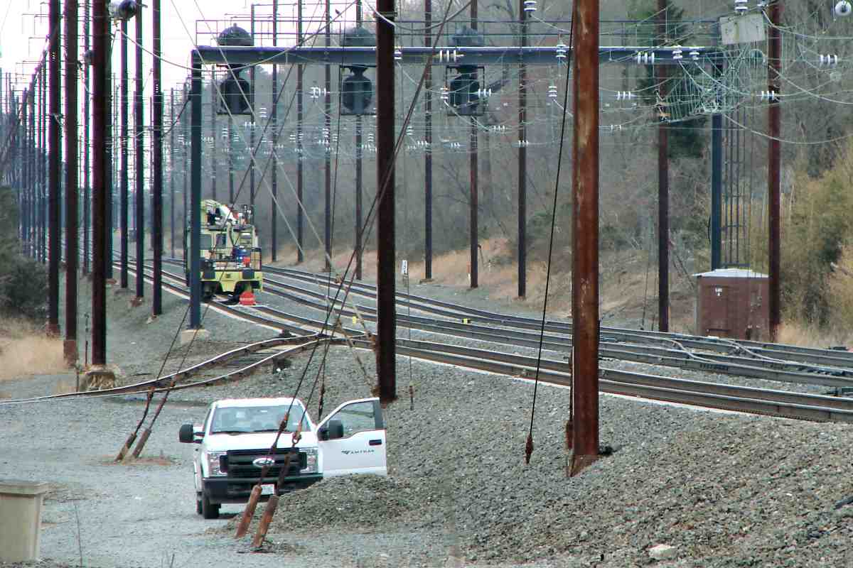
Also unusual is the configuration: three tracks, but just one signal facing each way. Furthermore, despite this being CSX trackage, the number 1313 represents 131.3 miles distance from PRR's ZOO Junction in Philadelphia.

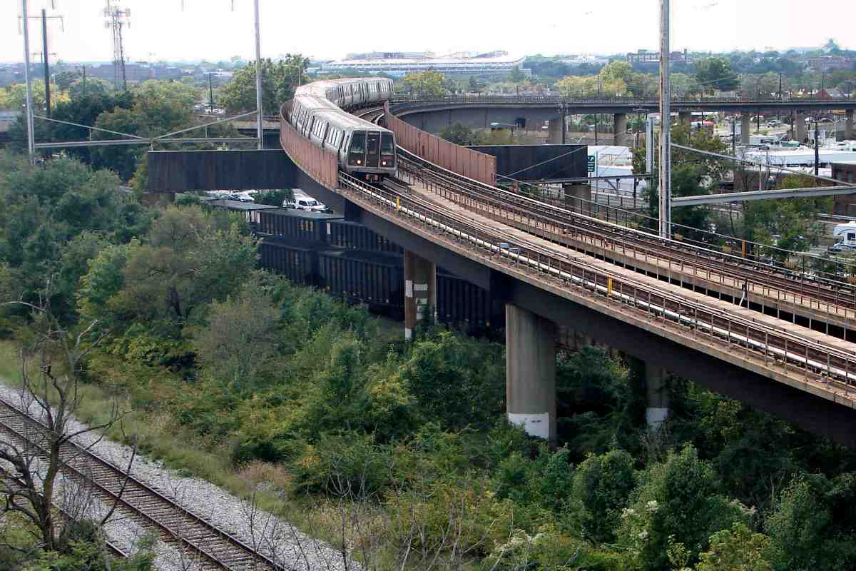
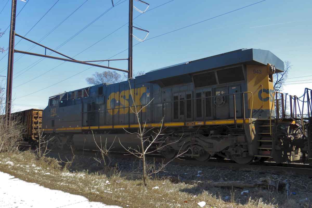
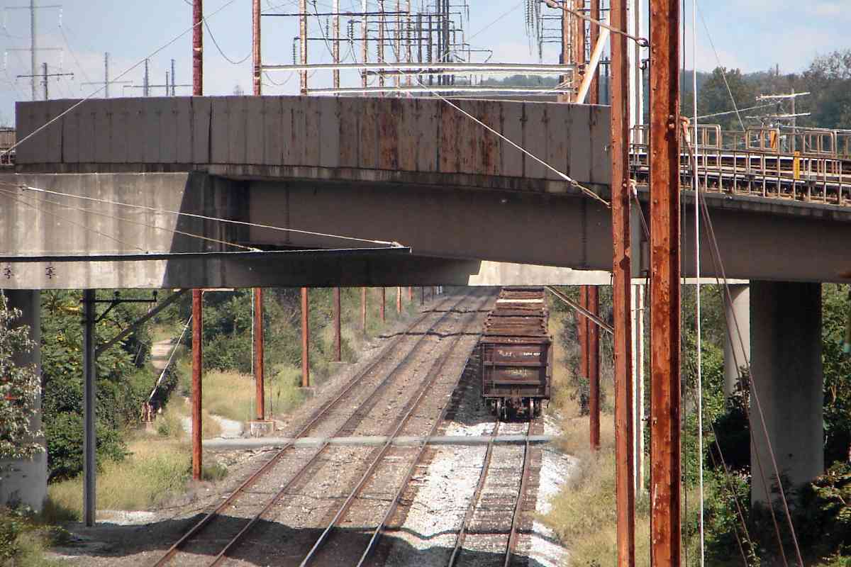
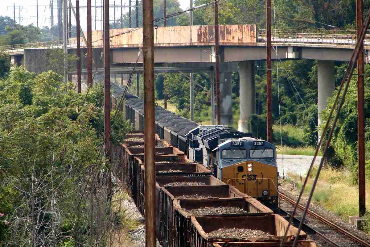
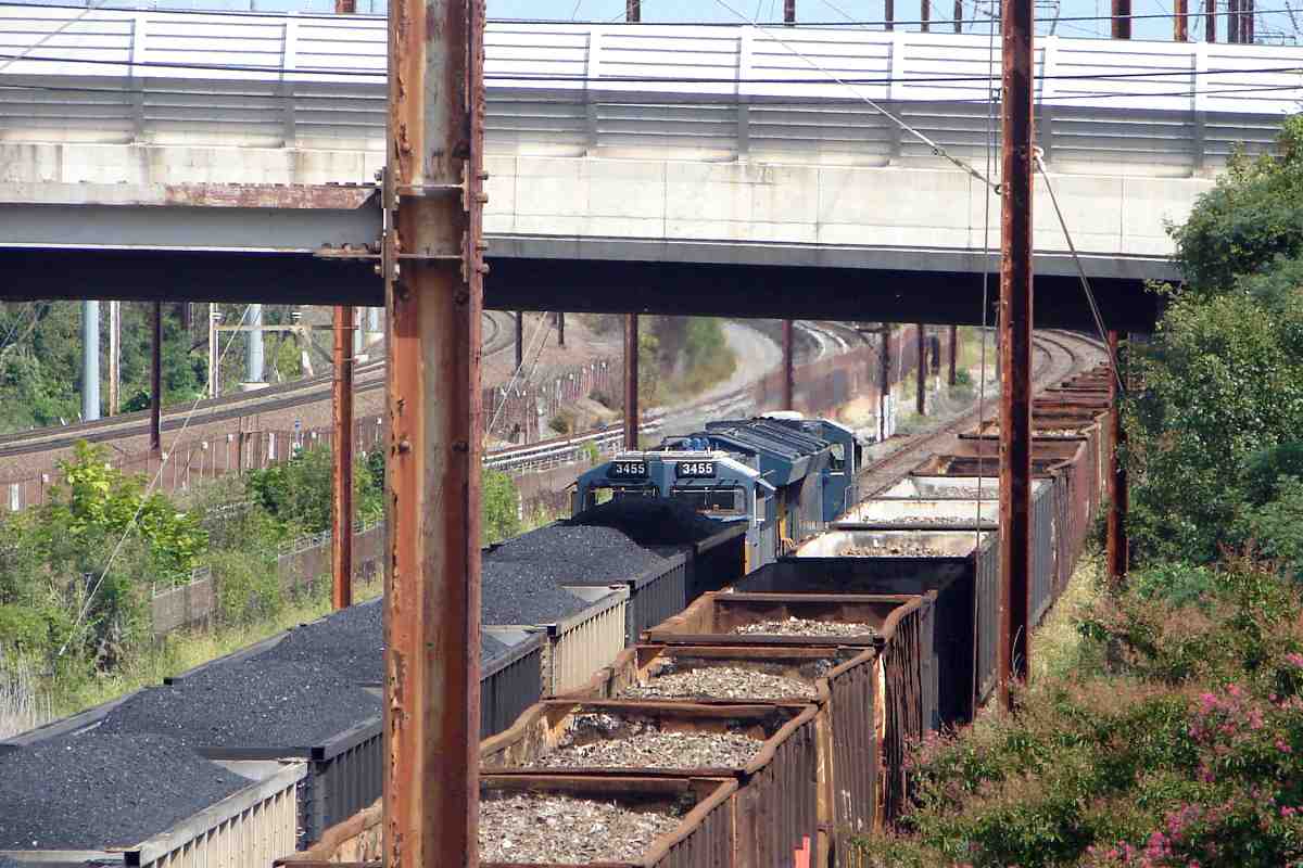
CSX installed the adjacent newer gantry around 2005-2006 to hold height sensors. To that gantry around 2021 it added new signals, not yet energized at photo time.


Coal

Coal
Mile: 131.3 Date: Mar 2022
Ease: A View: SW
Area: C+ T6:
Map: DC 11 E 12 Topographic Maps

Pausing at that gantry is coal is headed for Pope's Creek, which it would not be able to reach if not for a special arrangement that came from the Conrail sale. That agreement permits CSX to connect to its Pope's Creek Subdivision via Amtrak's Northeast Corridor.

Though no signal existed to instruct it, CSX 304 paused here for reasons that will become clear below.

These poles held catenary to supply electricty to PRR GG1 locomotives and similar. After the line became Conrail's, diesel locomotives plied the route, so the catenary was no longer needed and was removed during the early 1980s. The wires that remain are high voltage lines.


CSX 920

CSX 920
Mile: 131.4 Date: Mar 2022
Ease: A View: NE
Area: C+ T6:
Map: DC 11 E 12 Topographic Maps

CSX 920 and CSX 927 were waiting with 304.


Eastern Avenue

Eastern Avenue
Mile: 131.3 Date: Mar 2022
Ease: A View: NE
Area: C+ T6:
Map: DC 11 E 12 Topographic Maps

A Metro train crosses Eastern Avenue, the boundary between Washington, DC and Prince George's County, Maryland. And, what's that in the distance? Is that another CSX train approaching?


CSX 938

CSX 938
Mile: 131.3 Date: Mar 2022
Ease: A View: NE
Area: C+ T6:
Map: DC 11 E 12 Topographic Maps

It is, and it's on the same track as the waiting coal train!


Closing In

Closing In
Mile: 131.3 Date: Mar 2022
Ease: A View: S
Area: C+ T6:
Map: DC 11 E 12 Topographic Maps

CSX 304 can be glimpsed behind the equipment box, and as the gap between them closes, 938's operator must engage the brakes to avoid a collision!

Well, that's the Hollywood version. The realistic version is these moves were as planned: the coal train stopped so CSX 938 could carefully pull up to the stop signal, then reverse into a scrap metal recycling yard. Just ordinary activity.


CSX 943

CSX 943
Mile: 131.3 Date: Mar 2022
Ease: A View: E
Area: C+ T6:
Map: DC 11 E 12 Topographic Maps

CSX 943 helped with the scrap metal hoppers.


Wye

Wye
Mile: 130.8 Date: Sep 2017
Ease: B- View: W
Area: B- T6:
Map: PG 12 F 11, DC 11 F 11 Topographic Maps

In this reverse view dating from four plus years earlier, the scrap metal train would reverse into the recycling facility via the curving track. The curve is part of what remains of the Magruder Loop Track that connected the original B&P route with the 1907 Magruder Branch to Union Station that is now Amtrak's main line off photo right.


US 50
Photo courtesy Google

Four Bridges
Mile: 131 Date: Apr 2018
Ease: View: N (up)
Area: T6:
Map: PG 12 F 11 Topographic Maps

Here's the view from above, with the recycling facility in the middle. We're following the Landover Subdivision from left to right. Metro-in-the-middle ends temporarily because CSX's Alexandria Extension turns north and passes over both it and the Landover Sub. Then Metro bridges over the Landover Sub at the photo's right edge.


Waiting

Waiting
Mile: 130.8 Date: Sep 2017
Ease: B- View: E
Area: B- T6:
Map: PG 12 F 11 Topographic Maps

East of Metro's bridge over the Landover Sub sits a (different) train of scrap metal waiting to be moved...


CSX 3357

CSX 3357
Mile: 130.3 Date: Sep 2017
Ease: B+ View: W
Area: B T6:
Map: PG 12 H 11 Topographic Maps

... when along comes CSX 3357 shuttling coal to Pope's Creek. CSX 304 seen earlier is not in the lead because this group of photos dates to four and a half years earlier.


Cheverly

Cheverly
Mile: 130.3 Date: Sep 2017
Ease: B+ View: W
Area: B T6:
Map: PG 12 H 11 Topographic Maps

PRR called this location Tuxedo, but Metro put its Cheverly Station here (on the right).

Some of the oldest railcars get relegated to handling scrap materials for obscure small recycling companies. EMRX 4076 is a former Canadian National gondola, but EMRX is Northern Metals LLC dba Northern Metals Recycling.


CSX 3455

CSX 3455
Mile: 130.3 Date: Sep 2017
Ease: B+ View: NE
Area: B T6:
Map: PG 12 H 11 Topographic Maps

Assisting eastbound under Columbia Park Road was CSX 3455.


Sandwich

Sandwich
Mile: 130.3 Date: Jul 2019
Ease: B+ View: E
Area: B T6:
Map: PG 12 H 11 Topographic Maps

East of Cheverly, Metro finds itself in another sandwich, this one between Amtrak (left) and CSX (right).


Spur

Spur
Mile: 129.9 Date: Jul 2018
Ease: B View: W
Area: B- T6:
Map: PG 12 J 10 Topographic Maps

Metro got sandwiched because PRR served customers along Cabin Branch Road, and needed the spur at bottom left to reach them.


Cabin Branch Road

Cabin Branch Road
Mile: 129.9 Date: Jul 2018
Ease: A View: E
Area: B- T6:
Map: PG 12 J 11 Topographic Maps

The spur is still present, here crossing Columbia Park Road at Cabin Branch Road, but has not seen a train in awhile. Forging dates of 1980 are found on some rails.


Looking Ahead

Looking Ahead
Mile: 129.9 Date: Jul 2018
Ease: B View: NE
Area: B- T6:
Map: PG 12 J 10 Topographic Maps

Back at the main line... that little bright spot among greeneery near photo enter is concrete of Metro's bridge that carries the line back over the Landover Sub. An Amtrak Acela unit speeds past at left.


Leapfrogging

Leapfrogging
Mile: 129.0 Date: Aug 2019
Ease: B+ View: SW
Area: B- T6:
Map: PG 12 K 9 Topographic Maps

Jumping northeast then looking back finds Metro's bridge permitting two trains to leapfrog the Landover Sub where in the distance a train of scrap metal waits pickup.

The Landover Sub and Amtrak meet underneath. The Landover Sub originated during the 1870s as the Baltimore & Potomac Railroad's branch line into Washington that was actually B&P's defacto main line. Amtrak's route on the right originated as the Magruder Branch that split here around 1907 to lead to Washington's then-new Union Station.

Though the Landover Sub meets the Northeast Corridor here, we'll continue northeast to illustrate the route to the Pope's Creek Sub.

Change for: PRR tour at this site


Magruder

Magruder
Mile: 128.9 Date: Aug 2019
Ease: A- View: SW
Area: B- T6: 354
Map: PG 13 A 8 Topographic Maps

An Amtrak train from Union Station is coming off the Magrudger 1878 map Branch, now Amtrak's main line. Greenery reveals CSX does not send as many trains over the Landover Sub on the left.

This area had been known as Magruder. An 1878 Hopkins map (right) shows Lewis Magruder, and F. Magruder, likely relatives of the family associated with the Magruder grocery chain in Washington. Before Landover, this area was known as Wilson's and Blithewood.


Pre-Metro
Photo courtesy Library of Congress

Pre-Metro
Mile: 129.0 Date: 1974
Ease: View: E
Area: B- T6:
Map: PG 13 A 8 Topographic Maps

With Wilson's Tower at left, this 1974 aerial captured the Metro-izing process underway. Landover Road (foreground) was grade separated during 1941, and twinned in 1959.

Link: LoC source photo


MARC 7757

MARC 7757
Mile: 128.9 Date: Jun 2018
Ease: B View: N
Area: B- T6: 353
Map: PG 13 A 8 Topographic Maps

Soon after joining Amtrak, CSX trains pass the century-plus old Wilson's Station Railroad Tower, like the MARC commuter train is doing.

Link: PG County Historic Sites info


AMTK 2037

AMTK 2037
Mile: 128.8 Date: Aug 2019
Ease: B View: NE
Area: B- T6: 323
Map: PG 13 A 8 Topographic Maps

This will be the general appearance of the route northeast. All Amtrak traffic to/from Union Station rides the leftmost two tracks.

Had an early 20th century PRR plan materialized, a branch would have peeled off to the left near here, cut northward across Howard County, and shared a planned B&O branch near Granite, Maryland that curled clockwise around the west side of Baltimore. Other than possibly some land acquisition, the project did not get past the planning stage.


Ardwick

Ardwick
Mile: 127.7 Date: Jun 2018
Ease: B View: NE
Area: B T6:
Map: PG 13 C 6 Topographic Maps

The rightmost track received concrete ties around 2008. Eastbound Amtrak trains cannot switch to it until just behind the photog.

B&P's Ardwick Station had stood immediately beyond the overpass for US 50.


New Carollton

New Carollton
Mile: 127.3 Date: Jun 2019
Ease: A- View: N
Area: B+ T6:
Map: PG 13 D 6 Topographic Maps

Unlike this Amtrak train, CSX coal drags have no reason to stop at New Carrollton so will continue along the rightmost of the three Northeast Corridor tracks. A Washington Metro Orange Line train pauses at right.

Link: 1970s


Signals

Signals
Mile: 126.9 Date: Jun 2018
Ease: A View: NE
Area: B T6:
Map: PG 13 D 5 Topographic Maps

If there's no coal, northbound Amtrak trains can switch after passing a pole-mounted signal, the Penn Line's only one between DC and Baltimore. The pole signal is displaying Rule 281c, Limited Clear at what is named Carroll interlocking.

Previously the wide area between tracks hosted one platform of Capital Beltway Station.

Links: 1979, rule 281c limited clear, CR 3253 at Carroll interlocking


Glenn Dale

Glenn Dale
Mile: 122.8 Date: May 2019
Ease: B- View: NE
Area: A- T6:
Map: PG 9 C 11 Topographic Maps

Another set of signals, but no crossovers, is found at Glenn Dale, site of B&P's Glendale Station. CSX rides the nearest track.


Deep Zoom

Deep Zoom
Mile: 121.3 Date: Mar 2019
Ease: B View: NE
Area: B+ T6:
Map: PG 9 F 9 Topographic Maps

On this day CSX would not be able to ride the nearest track because an Amtrak catenary maitenance vehicle was blocking the way. Bowie, and the connection to the Pope's Creek Sub, are just beyond it at the dip ahead.


AMTK A13038

AMTK A13038
Mile: 120.7 Date: Mar 2019
Ease: A View: SE
Area: B+ T6:
Map: PG 9 G 8 Topographic Maps

This MoW flatcar accompanied catenary maintenance vehicle A16505. Note the European-style coupler (barely visible) and bumpers to match those of the catenary vehicle. You won't find many railcars equipped like this in the US.


Barricade Duty

Barricade Duty
Mile: 120.4 Date: Mar 2019
Ease: A- View: W
Area: B T6:
Map: PG 9 H 7 Topographic Maps

The catenary vehicle and flatcar were in barricade duty to block any trains coming off the Pope's Creek line that enters from the left. At photo time, Amtrak was upgrading the catenary for high speed service. If coal was needed, it could have arrived from the north, but only after CSX switched to the Northeast Corridor via a connection at Bay View in Baltimore, some 30 miles distant.

Link: coal from north via CR 1980


AMTK 4912
Photos courtesy Marty Hager

AMTK 4912
Mile: 120.4 Date: 1980
Ease: A- View: W
Area: B T6:
Map: PG 9 H 7 Topographic Maps

AMTK 4912 This is a similar view to the prior, with less zoom, in 1980. By that time, model GG1s like this were in their twilight. Unit 4912 was built by PRR during January 1942, and the grill on the side of its nose added later. Anyone know the purpose of that grill? Other GG1s either do not have it, or have one of a different shape.

The south leg to Pope's Creek is at the main photo's distant left. At photo time, the signals seen in the 2019 view had not yet been relocated there, and during 1980 were behind the photog.

Links: RFK funeral train 1968, 1975, more AMTK 4912, GG1 roster


CSX 811
Photo courtesy Marty Hager

CSX 811
Mile: 120.5 Date: Jun 2007
Ease: A- View: W
Area: B T6: 348
Map: PG 9 H 8 Topographic Maps

This, the south leg of the Bowie wye, is used more often than the north leg since CSX's coal trains arrive here via Washington, DC while on their way to the power plants.

This SD80MAC unit had been CR 4125, but the yellow-digits on the side tell us CSX gave it a new number.


CSX 4705
Photo courtesy Marty Hager

CSX 4705
Mile: QP 2.7 Date: ~2010
Ease: A- View: S
Area: B T6: 349
Map: PG 14 A 13 Topographic Maps

CSX 4705 pauses at Collington along the line to Pope's Creek. Marty reports what appears to be a small washout was instead part of a tie replacement project. He also says a short siding had peeled to the left to help haul in housing construction materials during the 1960s.

There's more of the Pope's Creek Subdivision on the next page.


<< Previous (southwest) | THIS PAGE: Landover Subdivision | Next (south) >>

For other tours here now, select from the map: clickable map

Or, return to main page

Copyright Notice