|
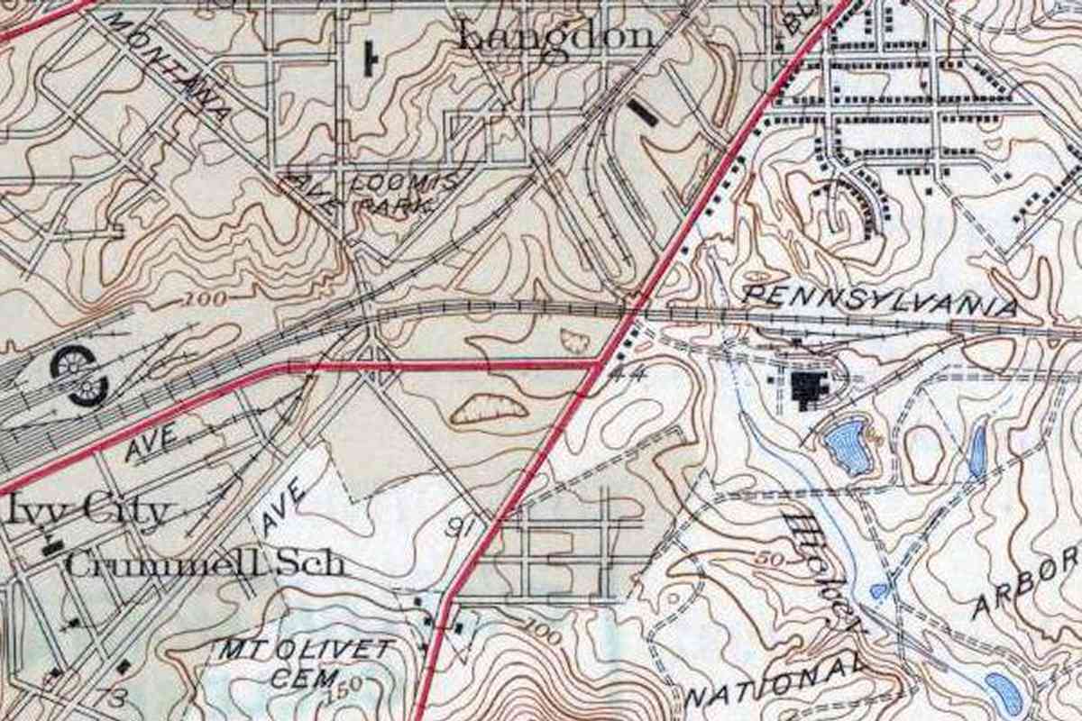
This is the only spur off the Magruder Branch in this vicinity to
survive the extension of New York Avenue. It served a Hecht Company
warehouse, as well as Capitol Service Stations, Jewel Tea,
Safeway Stores, Baltimore Lumber, Pittsburgh Plate Glass,
National Trucking, and Anheuser-Busch, among others. Prior to the
spur the PRR here counted as customers several sand, cement, and brick
companies, as well as IBM.
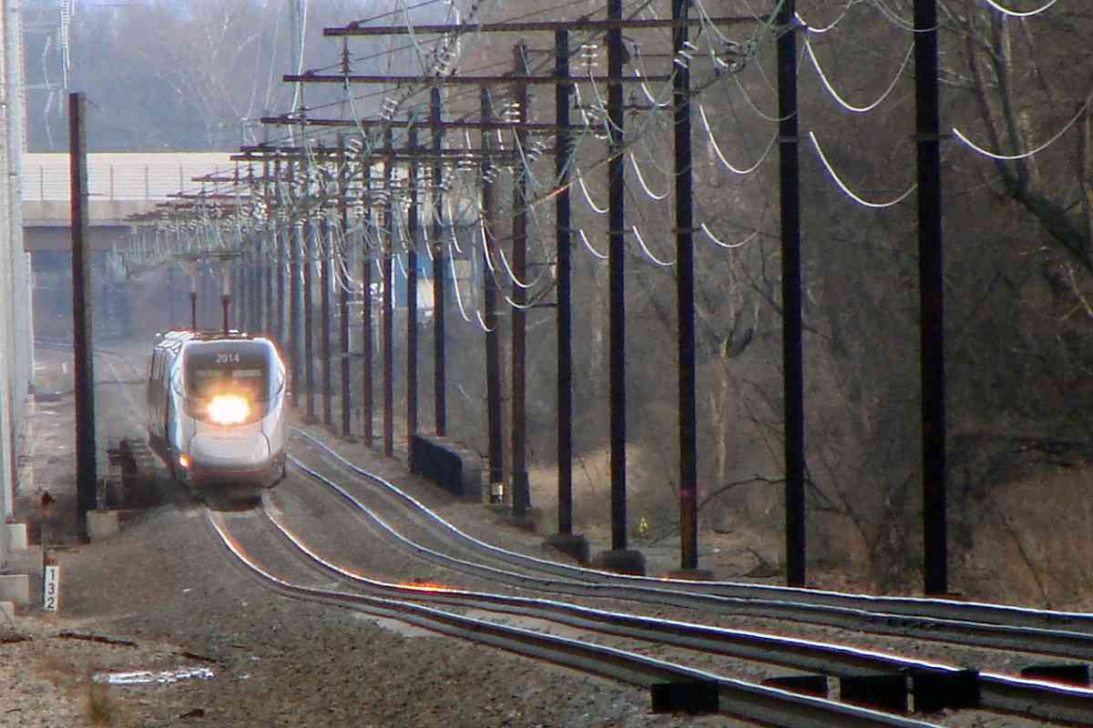
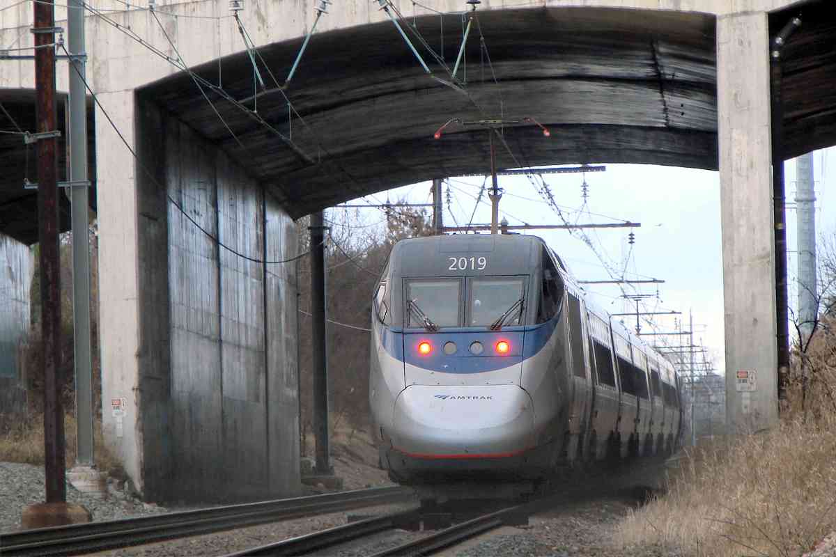
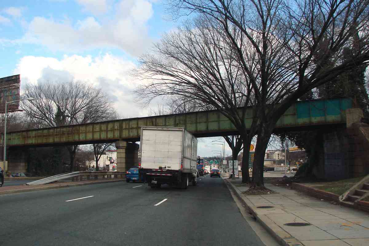
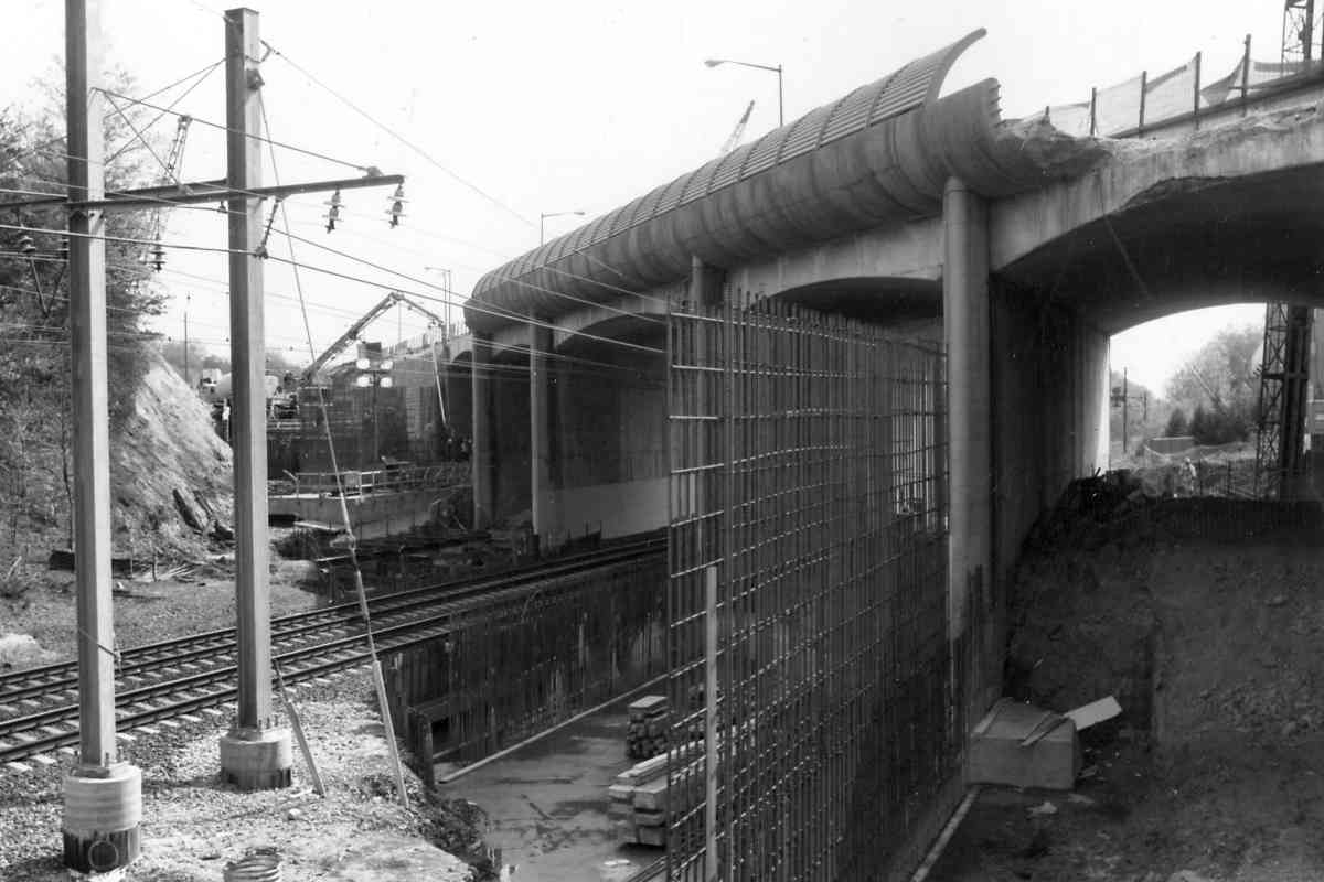
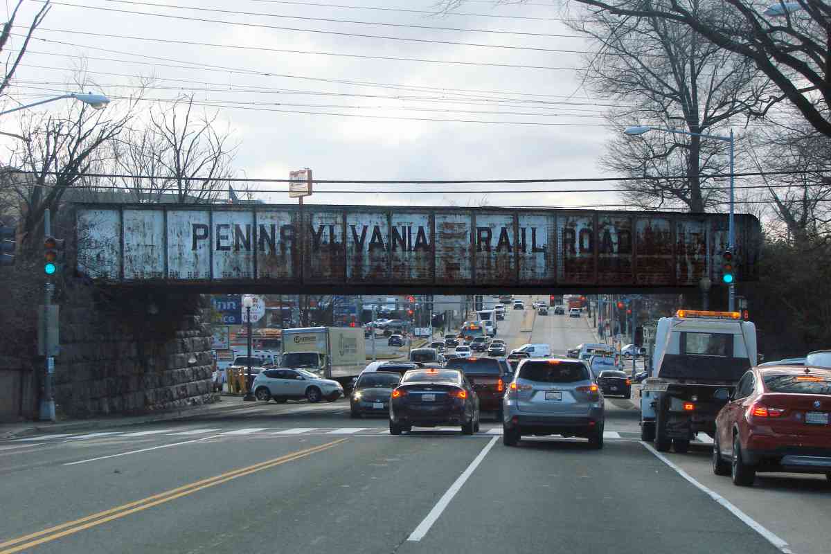
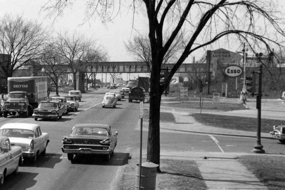
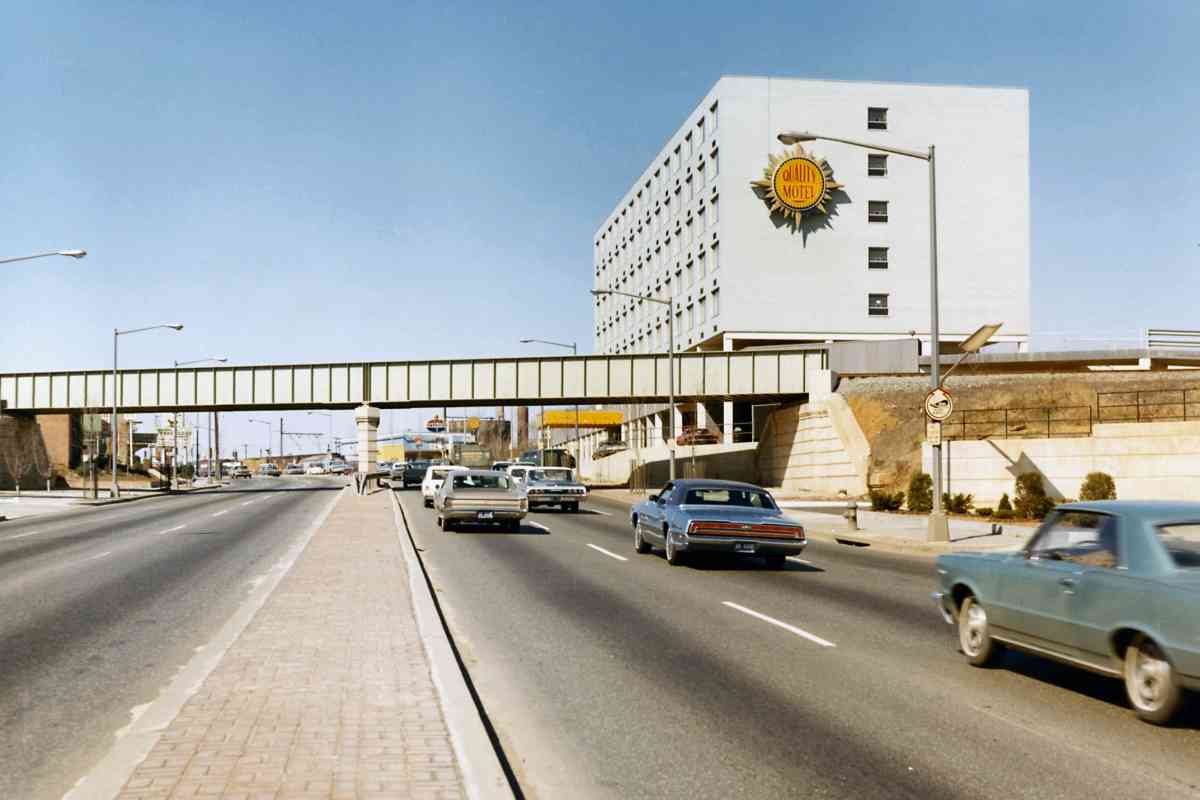
 The bridge likely dates to 1930 when New York Avenue was extended east
through this location as far as Bladensburg Road. The two DDOT views at
right look the opposite direction, west, along New York Avenue from the
vicinity of Montana Avenue. They show that the Pennsy name on the spur
bridge about 1960 was lost by March 1971 when the bridge was modified for
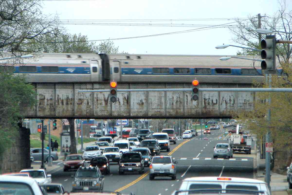
a widened New York Avenue. The site of the Quality Motel was previously
occupied by the Baltimore Lumber Company. The Esso gasoline station
on the right had by the 2010s morphed into a garden center known for
entertaining misspellings in its signage. The Quality Motel now has
Quality Inn signage, but the lobby is staffed by multiple armed guards
who claim it's not a hotel. Based on other reports, I surmise this is
actually now a place DC stashes its homeless. Unless you are a homeless
railfan, you will probably want to stay elsewhere.
The bridge likely dates to 1930 when New York Avenue was extended east
through this location as far as Bladensburg Road. The two DDOT views at
right look the opposite direction, west, along New York Avenue from the
vicinity of Montana Avenue. They show that the Pennsy name on the spur
bridge about 1960 was lost by March 1971 when the bridge was modified for
a widened New York Avenue. The site of the Quality Motel was previously
occupied by the Baltimore Lumber Company. The Esso gasoline station
on the right had by the 2010s morphed into a garden center known for
entertaining misspellings in its signage. The Quality Motel now has
Quality Inn signage, but the lobby is staffed by multiple armed guards
who claim it's not a hotel. Based on other reports, I surmise this is
actually now a place DC stashes its homeless. Unless you are a homeless
railfan, you will probably want to stay elsewhere.
 Reader Greg Hager wrote:
"Many years ago (1980?) I remember
seeing a Penn Central SW switcher sitting on that bridge with a number
of box cars. On checking on line satellite pictures confirms that the
line connected with the PC. To get to the B&O it would have to cross the
Amtrak main line at grade. As always keep up the good work on an
excellent site."
Link:
DDOT source photos
|