|
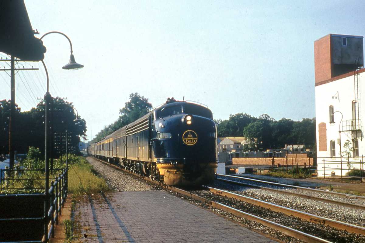
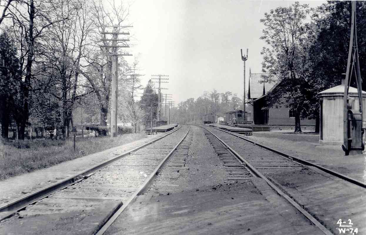
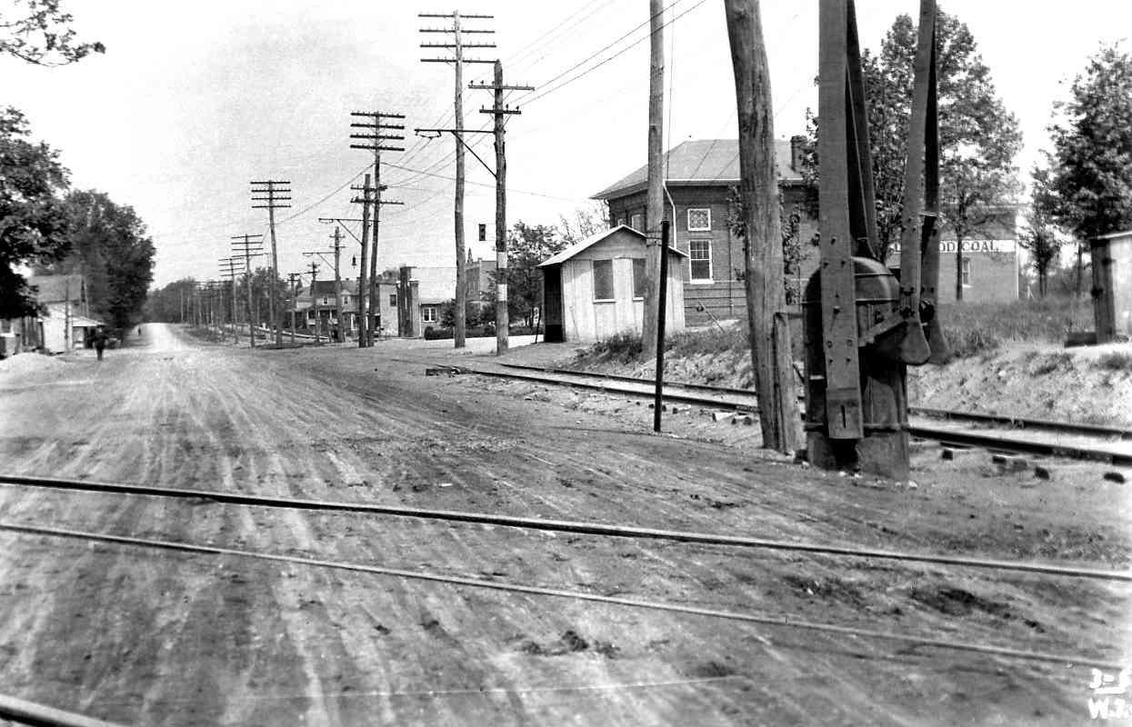
In 1873, B&O marked its arrival in Silver Spring with laying of tracks across
Brookeville Road, later Brookeville Turnpike and now Georgia Avenue (MD 97).
This photo dates from the sleepy and bucolic half century before in 1922 the
Woodside Development Corporation purchased adjacent Alton Farm and divided it
into 1-acre residential sites. That initiated almost non-stop development and
re-development that transformed Silver Spring into a bustling economic,
business, and transportation hub.
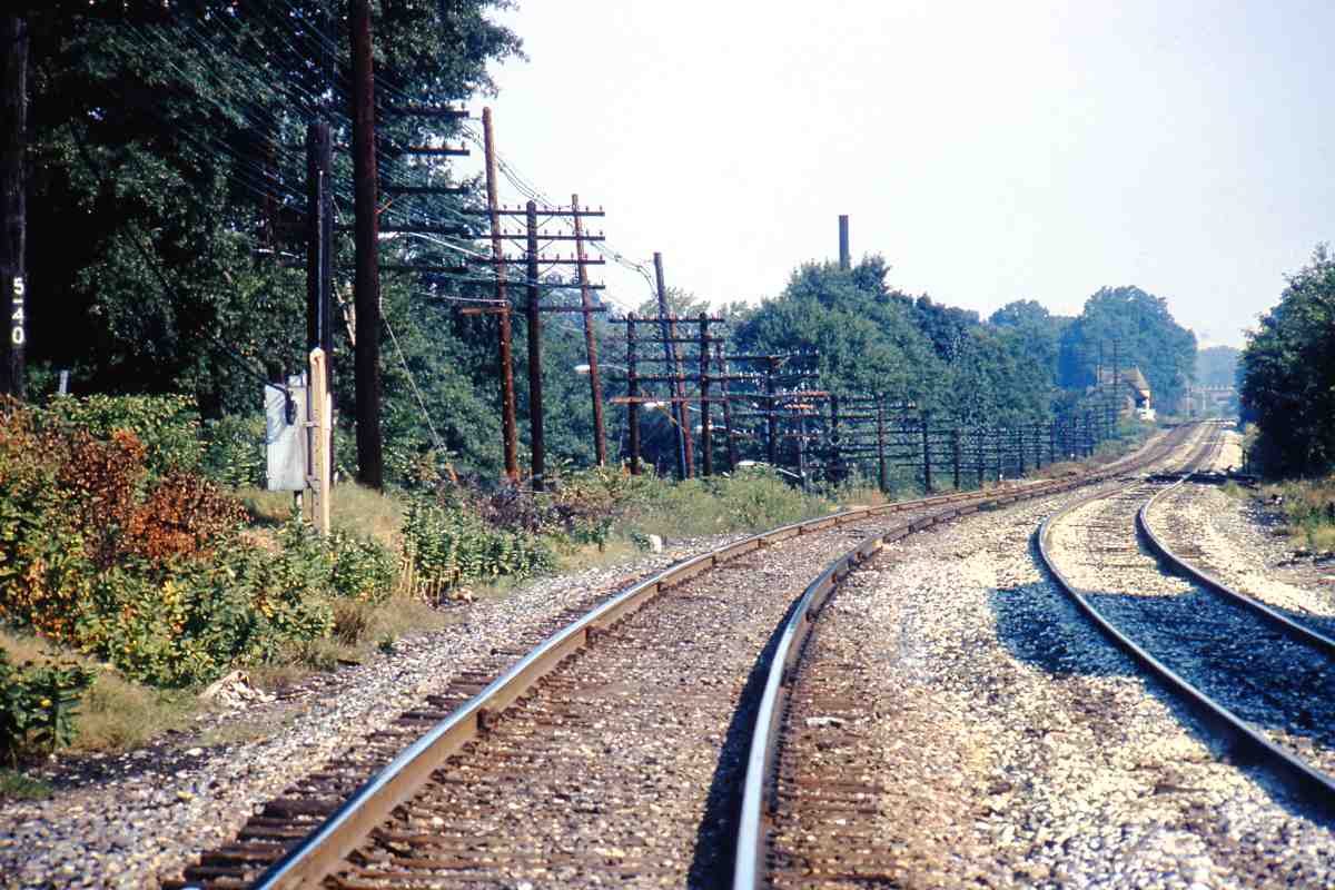
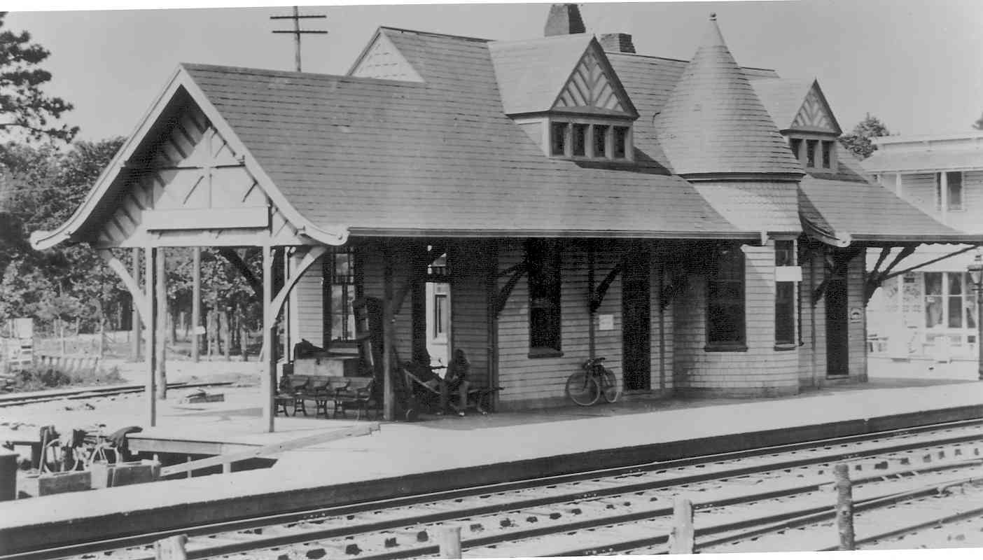
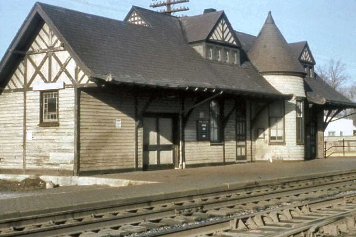
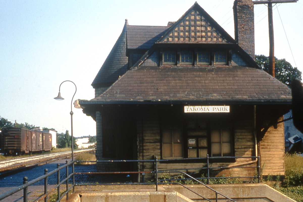
B&O's original Silver Spring station is at
distant right; more about it later. The pole is topped by a semaphore-type
signal (magnified at right) the shape and lenses of which no doubt inspired the
design of color-position light signals that would follow. At right is an
octagonal concrete phone shack, very few of which survive. One is extant at
Avalon on the Old Main Line.
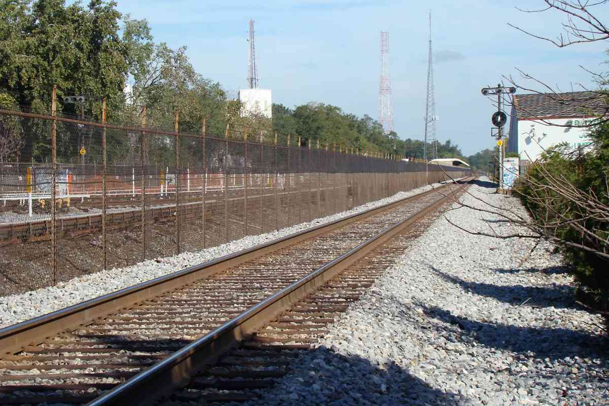
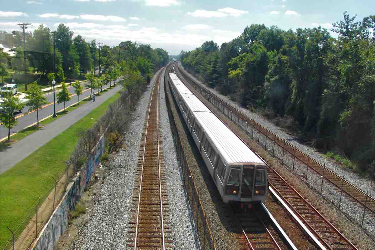
Note the crossing is with a dirt road, a sharp contrast to the multi-lane,
busy road that exists today.
|