


Click a photo to see a larger view. Please send your comments and corrections to Steve.
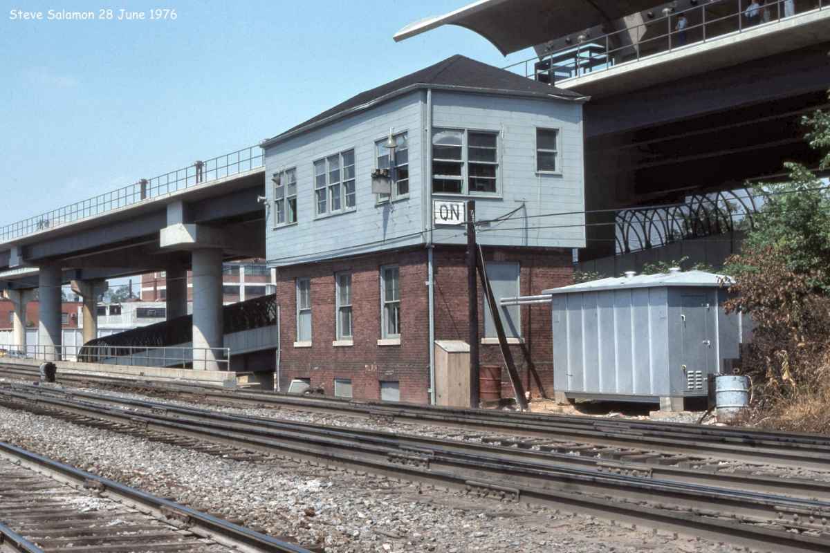
Photo courtesy North American Interlockings |
| |||||||||||
| ||||||||||||

Photo courtesy B&O History Collection |
| |||||||||||
| ||||||||||||
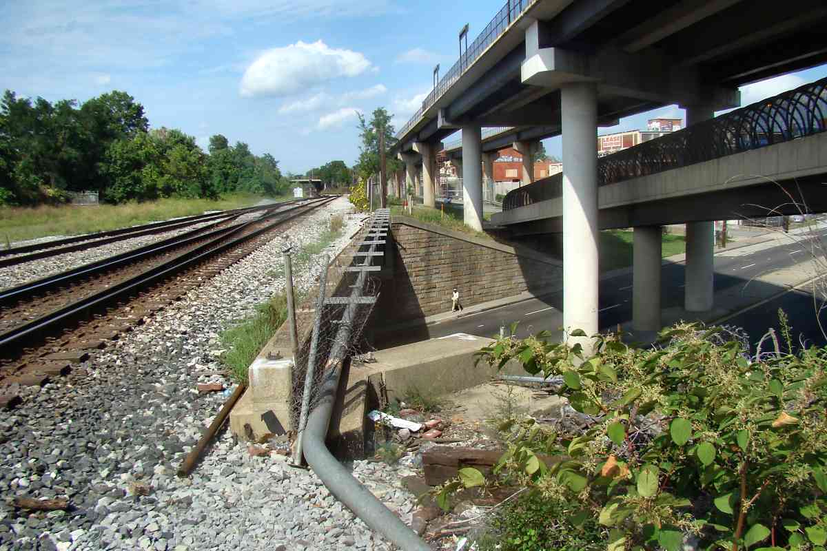
Photo courtesy Dave Hiteshew |
| |||||||||||
| ||||||||||||
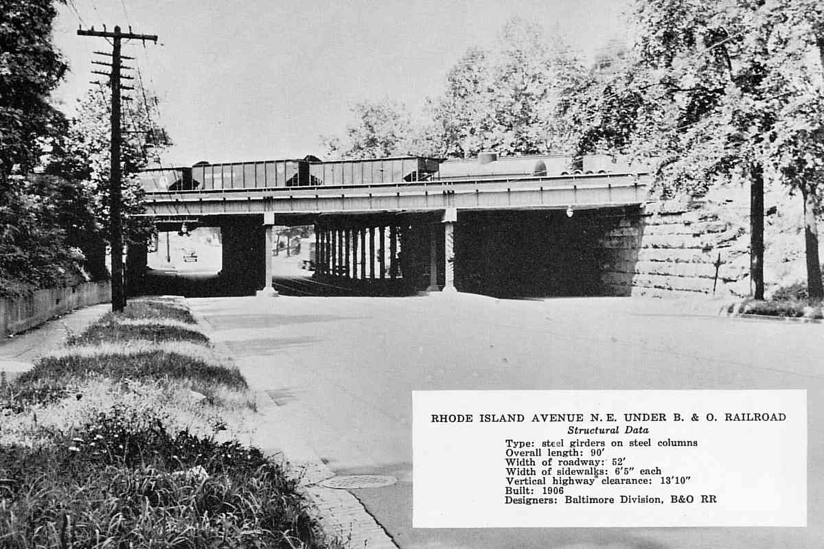
Photo courtesy District Department of Transportation (DDOT) Library |
| |||||||||||
| ||||||||||||
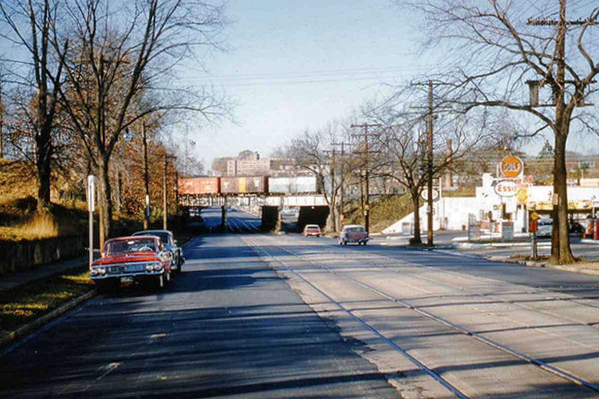
Photo courtesy B&O History Collection |
| |||||||||||
| ||||||||||||
Photo courtesy District Department of Transportation (DDOT) Library |
| |||||||||||
| ||||||||||||

Photos courtesy District Department of Transportation (DDOT) Library |
| |||||||||||
| ||||||||||||
Photo courtesy District Department of Transportation (DDOT) Library |
| |||||||||||
| ||||||||||||
Photo courtesy District Department of Transportation (DDOT) Library |
| |||||||||||
| ||||||||||||
|
| |||||||||||
| ||||||||||||
Photo courtesy Dave Hiteshew |
| |||||||||||
| ||||||||||||

Photo courtesy District Department of Transportation (DDOT) Library |
| |||||||||||
| ||||||||||||
Photo courtesy Dave Hiteshew |
| |||||||||||
| ||||||||||||
Photo courtesy Dave Hiteshew |
| |||||||||||
| ||||||||||||
Photo courtesy Dave Hiteshew |
| |||||||||||
| ||||||||||||

Photo courtesy District Department of Transportation (DDOT) Library |
| |||||||||||
| ||||||||||||
Photo courtesy B&O History Collection |
| |||||||||||
| ||||||||||||
Photo courtesy B&O History Collection |
| |||||||||||
| ||||||||||||
Photo courtesy Dave Hiteshew |
| |||||||||||
| ||||||||||||

Photo courtesy Dave Hiteshew |
| |||||||||||
| ||||||||||||
Photo courtesy District Department of Transportation (DDOT) Library |
| |||||||||||
| ||||||||||||
Photo courtesy Dave Hiteshew |
| |||||||||||
| ||||||||||||
Or, return to main page for other tours.
Copyright Notice


