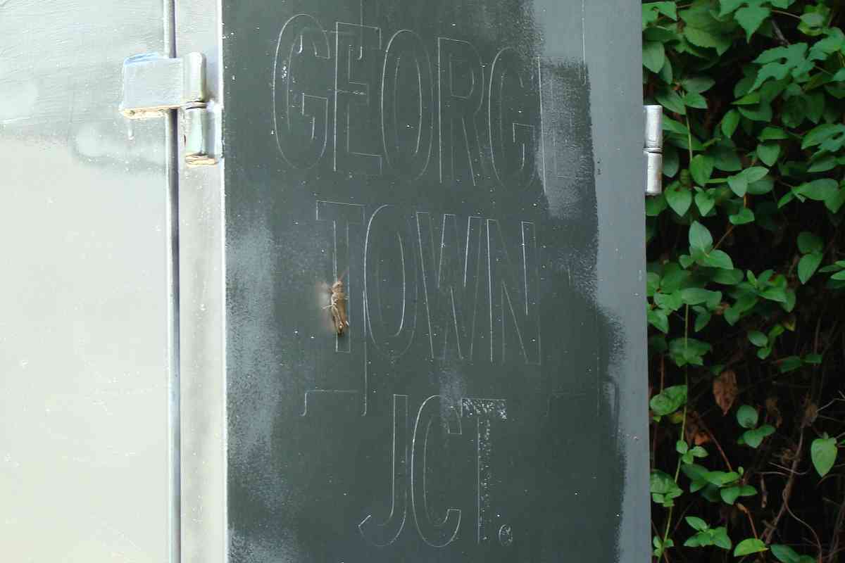
|
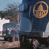
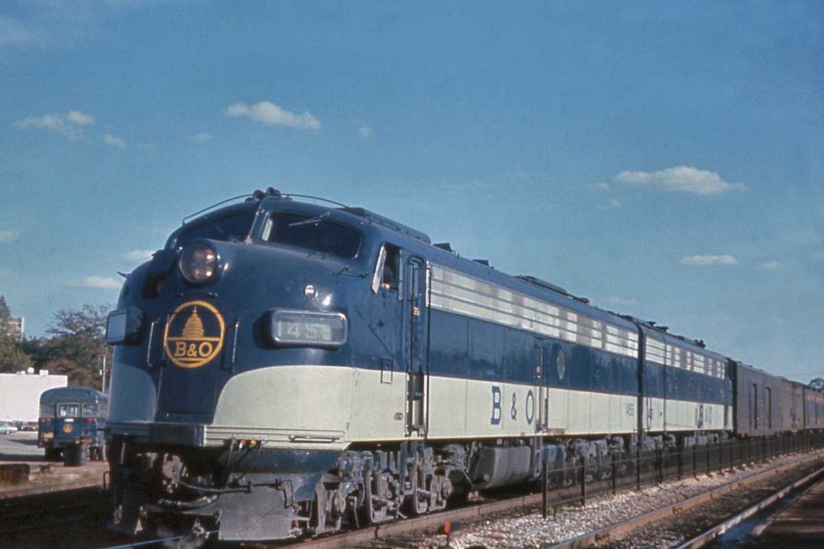
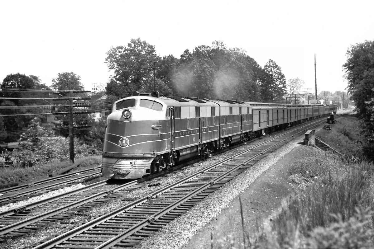
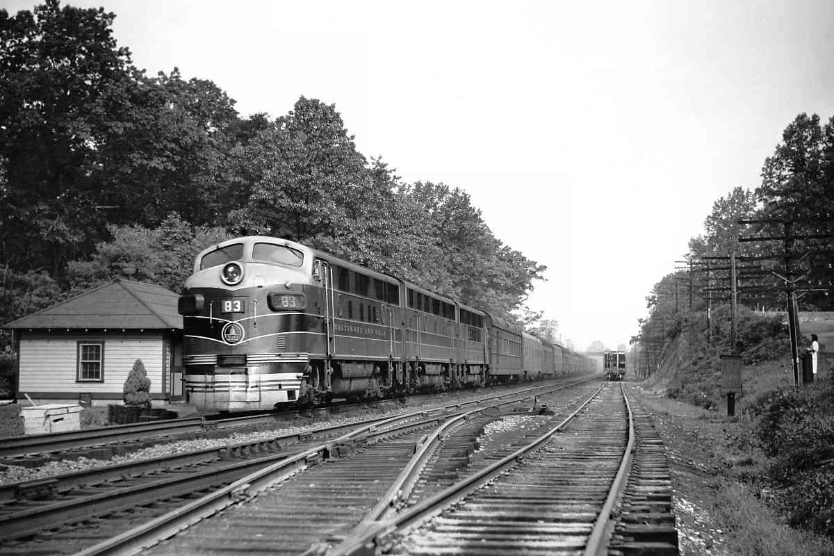
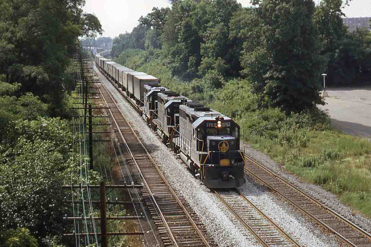
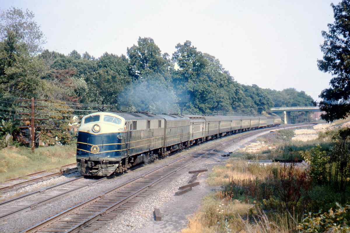
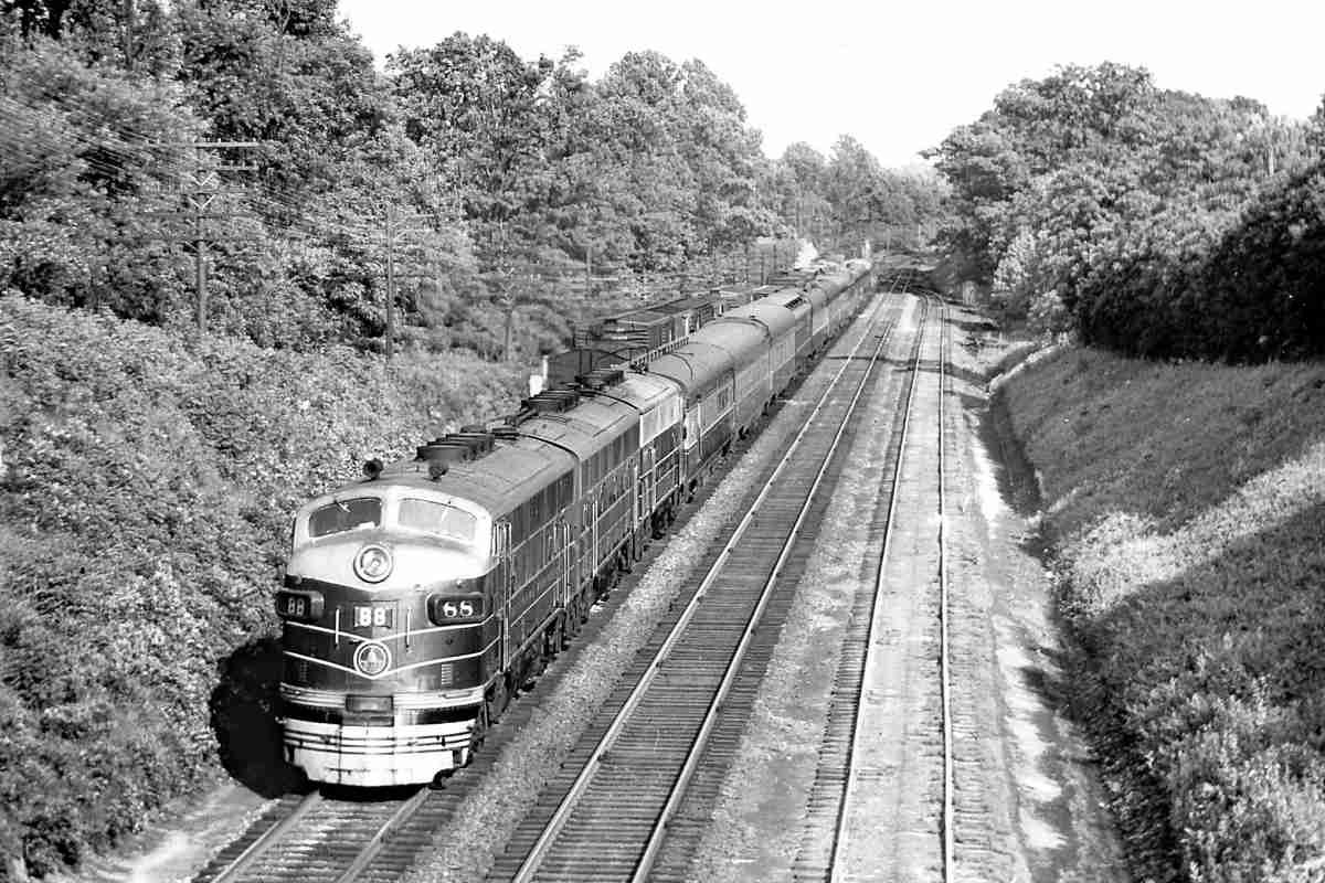
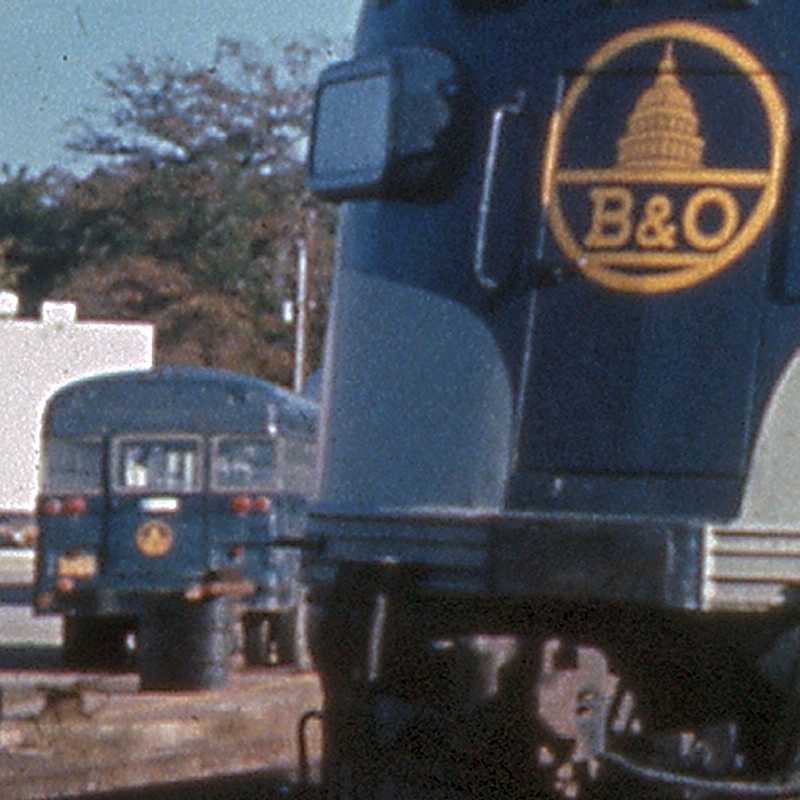
A westbound model E8A/E9A exchanges passengers at Silver Spring.
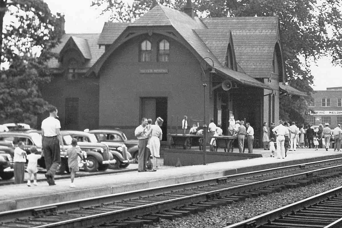
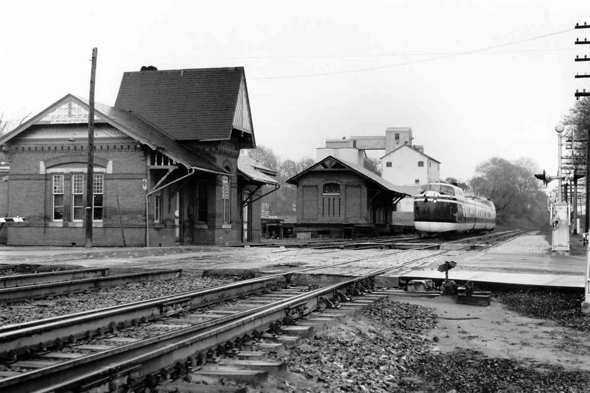
This photo's view is much like that of the 1945 photo above, but
without Baldwin's station in the background, the scene looks quite
different. The trains would look quite different, too, next year
because Railpax was coming. Railpax, renamed Amtrak, would take
on the long distance passenger routes of B&O and other railroads.
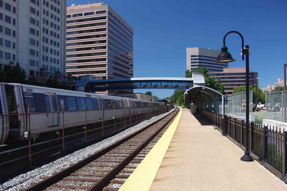
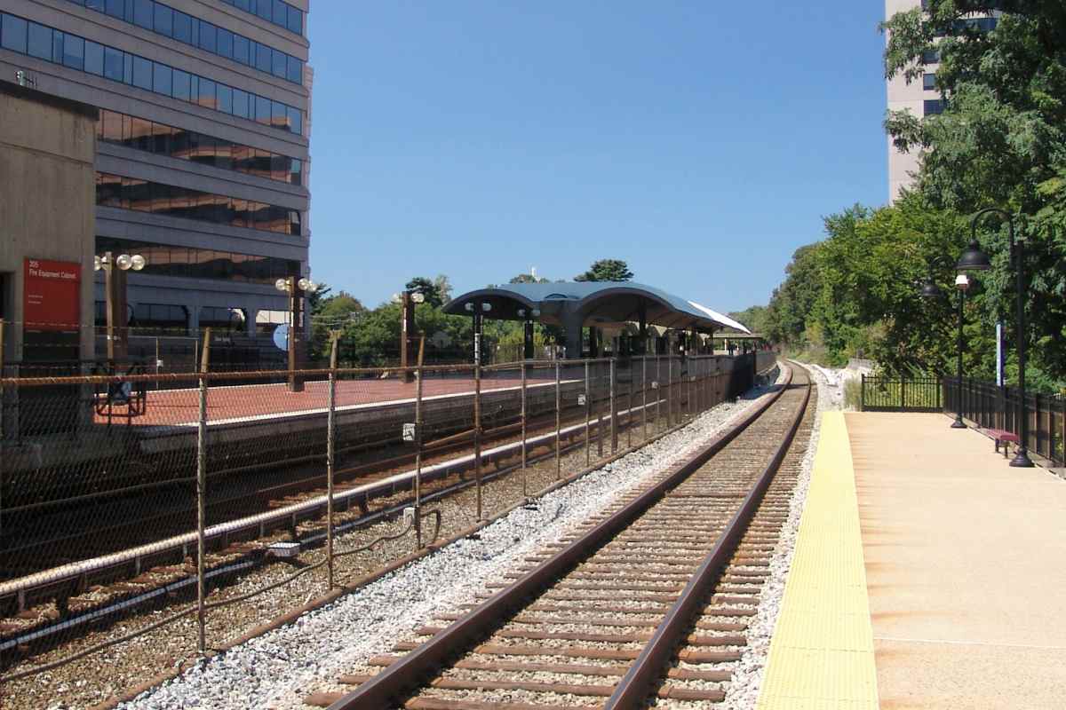
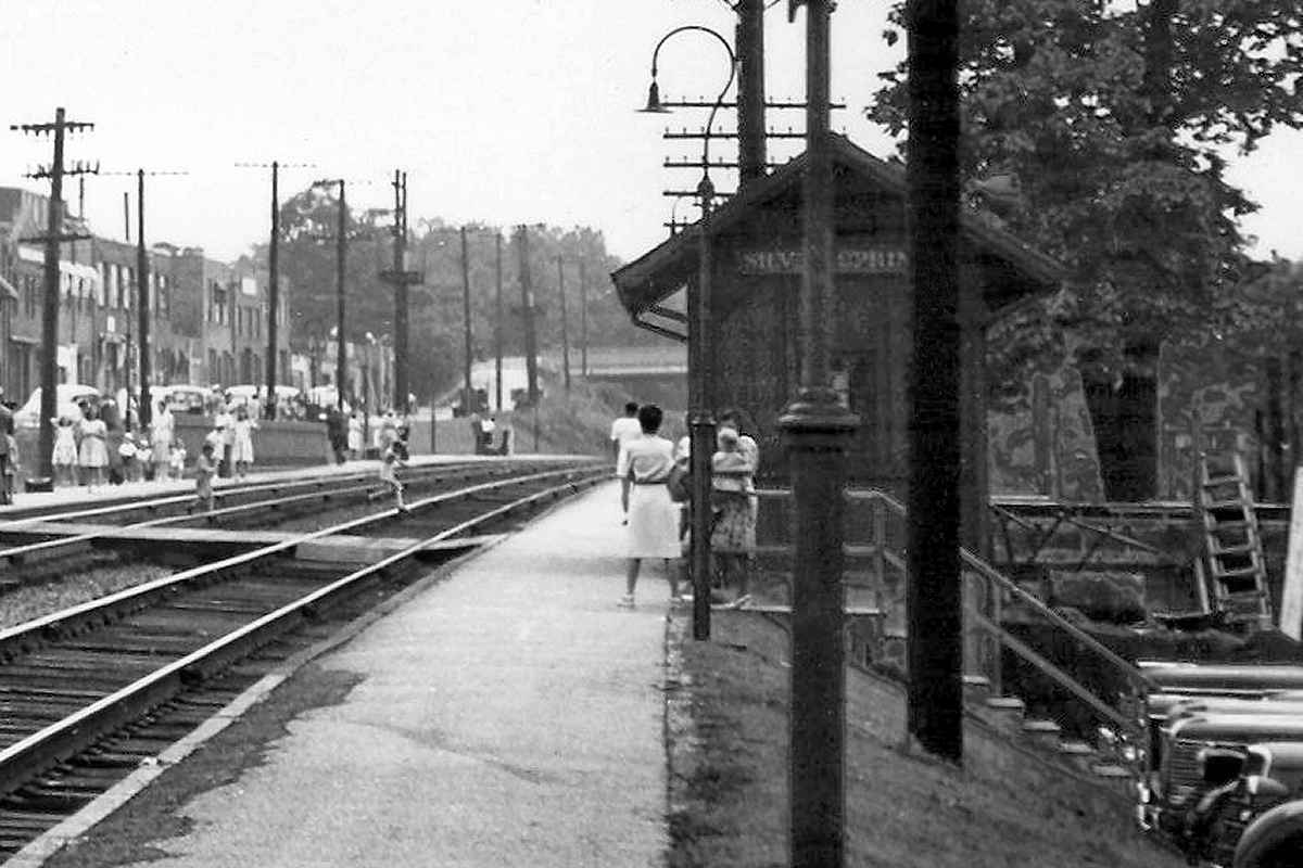
Amtrak stopped at Silver Spring from 1971 to 1986.
After a four-month service gap from May to September 1971, Amtrak
revived B&O's West Virginian train from Washington, DC to
Parkersburg, WV. Service restoration came at the urging of US
 Representative Harley Orrin Staggers of West Virginia. During 1972
Amtrak assigned one of its two
UAC Turbotrains
to the service, and
rebranded it the Potomac Turbo. The Turbotrain was not a good match
for a mountainous route, so was withdrawn after three months.
Representative Harley Orrin Staggers of West Virginia. During 1972
Amtrak assigned one of its two
UAC Turbotrains
to the service, and
rebranded it the Potomac Turbo. The Turbotrain was not a good match
for a mountainous route, so was withdrawn after three months.
Note what appears to be a B&O shuttle bus at left, with matching
colors and herald. The railroad did not operate regular shuttle
service here, so the bus represents either a crew transport, or
a way to move passengers around a track blockage.
Links:
Railpax as of April 1971,
Turbotrain 1972
|


