|
Route 1 follows the path of the the oldest road between Baltimore
and Washington. Long ago it was converted from a toll-based turnpike
into a US Highway, and still carries much traffic.
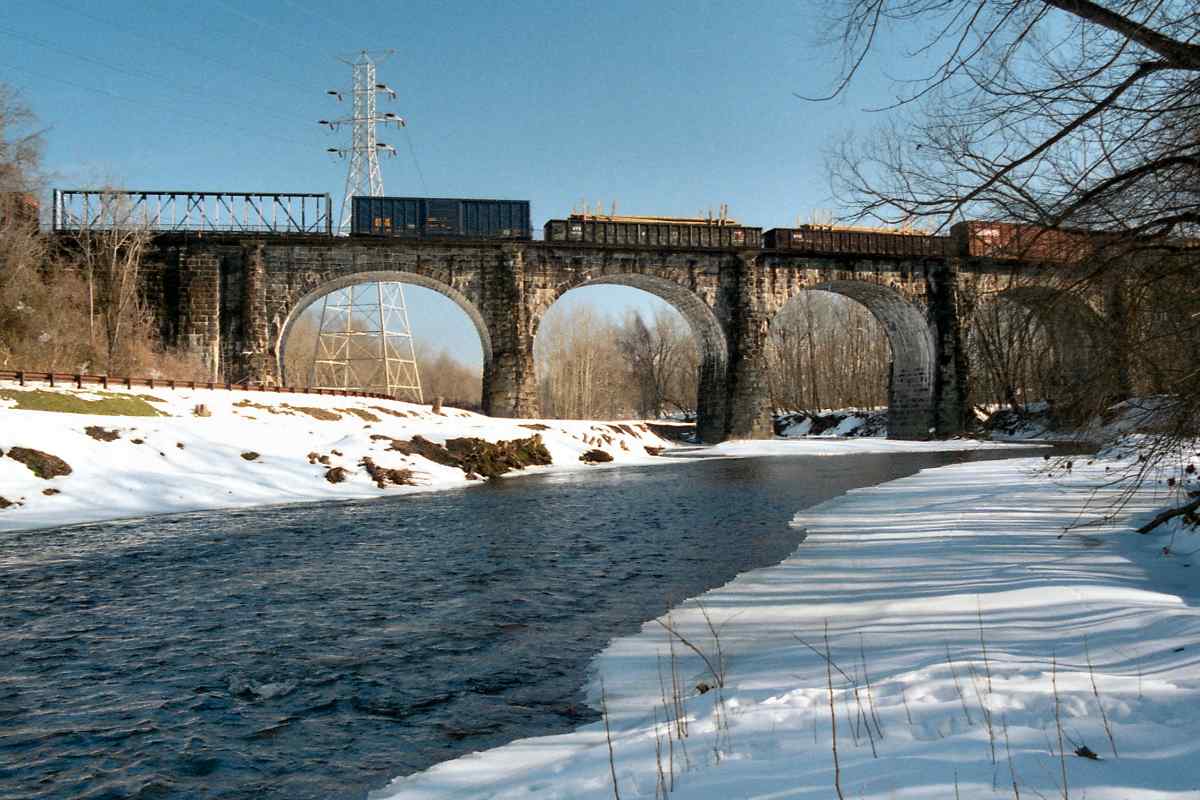
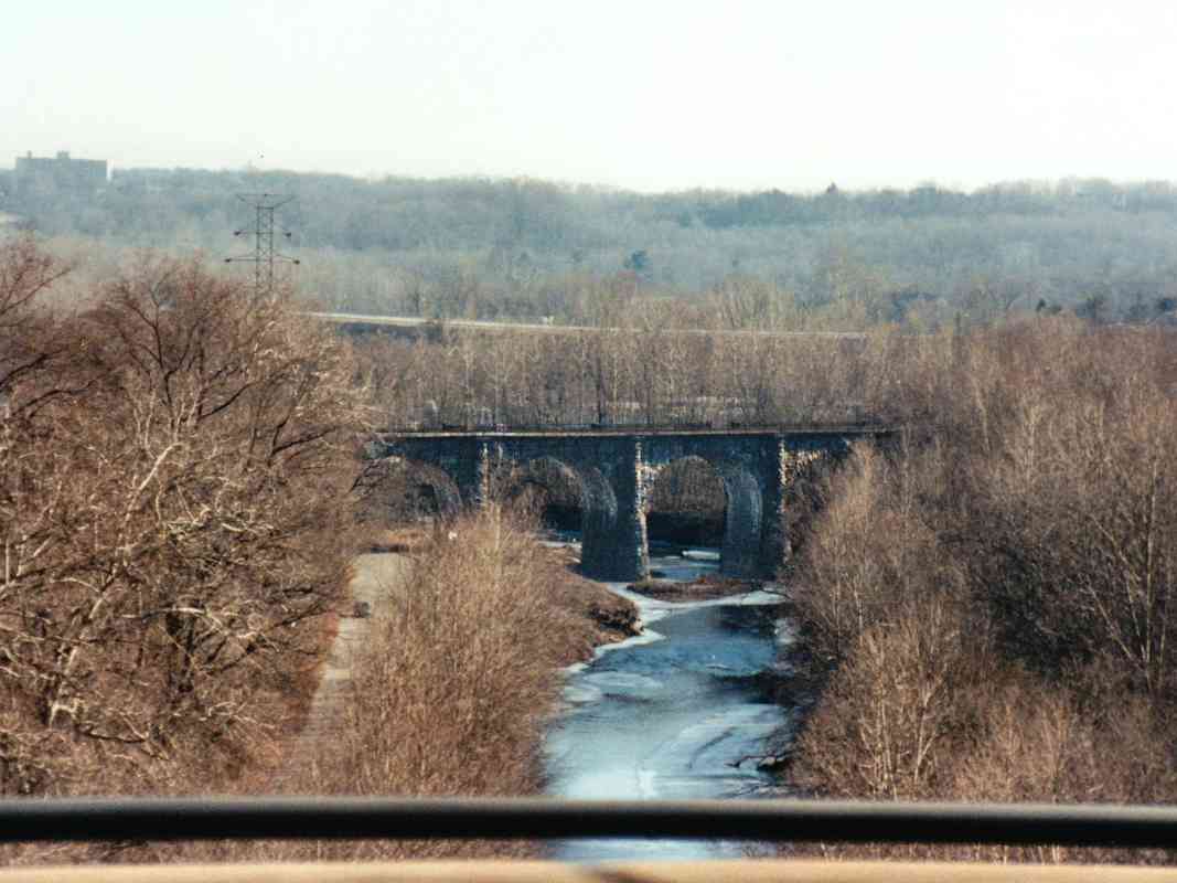
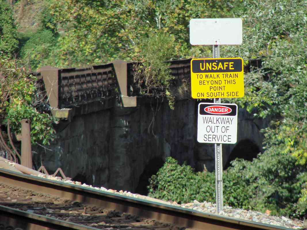
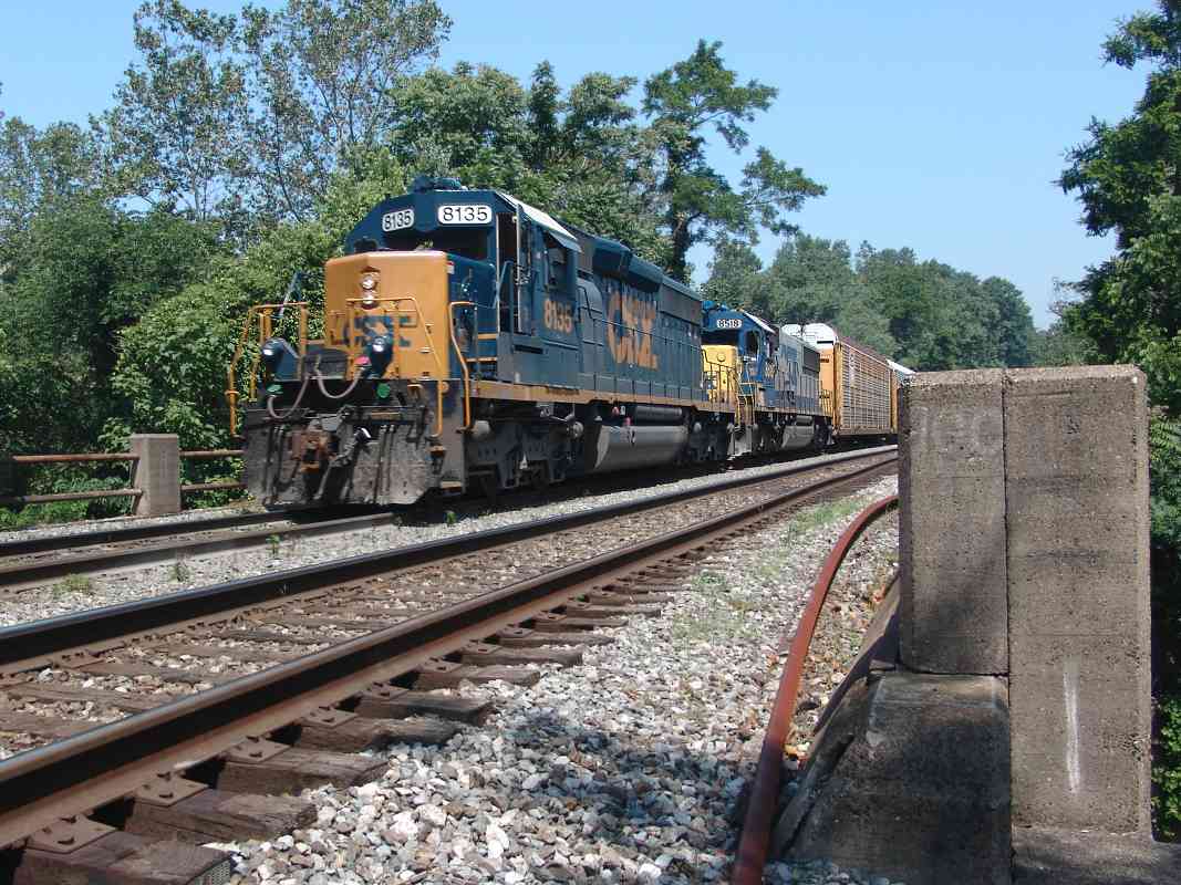
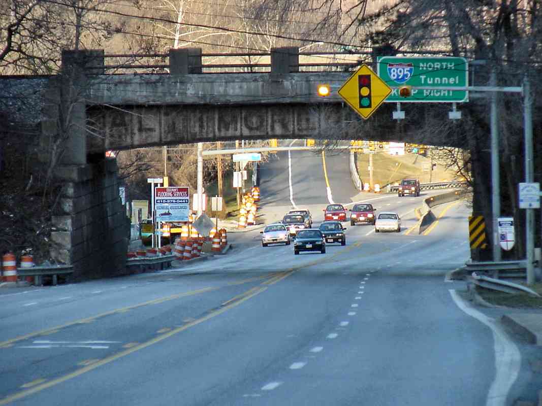
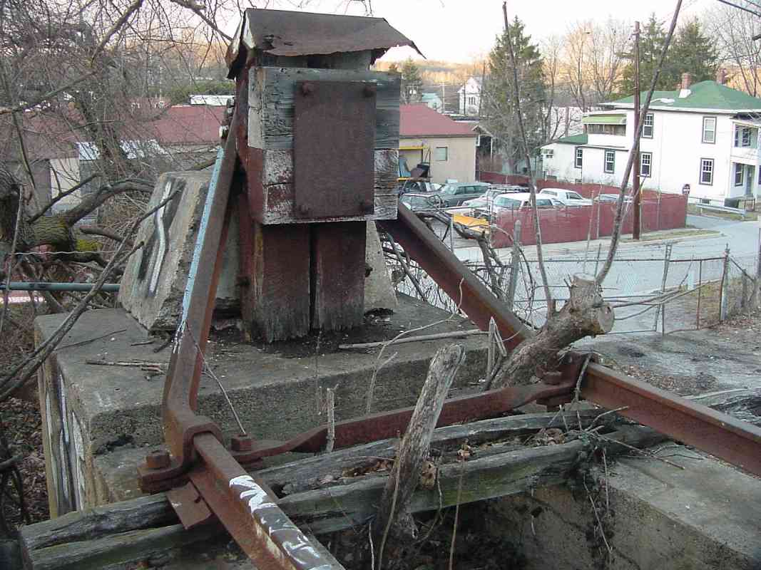
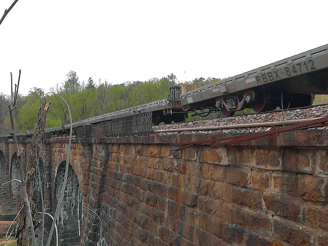
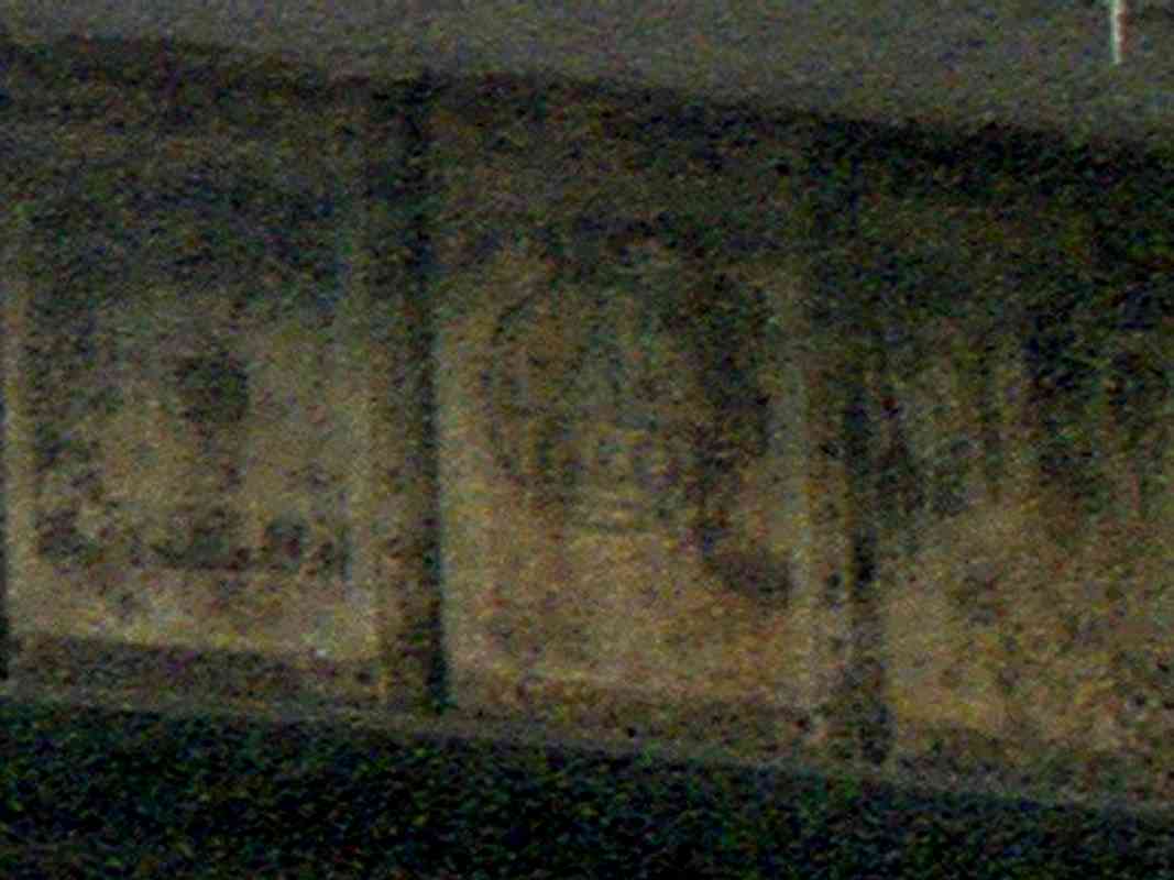
 This is one of few remaining places that you can still see evidence of
the B&O name from before it was absorbed into the Chessie System and
CSX Transportation. Notice the fading "Baltimore & Ohio" painted on
the 1931-dated bridge. At least two different paint jobs are represented
in the zoom at right: that's the E of Baltimore followed by a B&O herald
and ampersand palimpsest.
This is one of few remaining places that you can still see evidence of
the B&O name from before it was absorbed into the Chessie System and
CSX Transportation. Notice the fading "Baltimore & Ohio" painted on
the 1931-dated bridge. At least two different paint jobs are represented
in the zoom at right: that's the E of Baltimore followed by a B&O herald
and ampersand palimpsest.
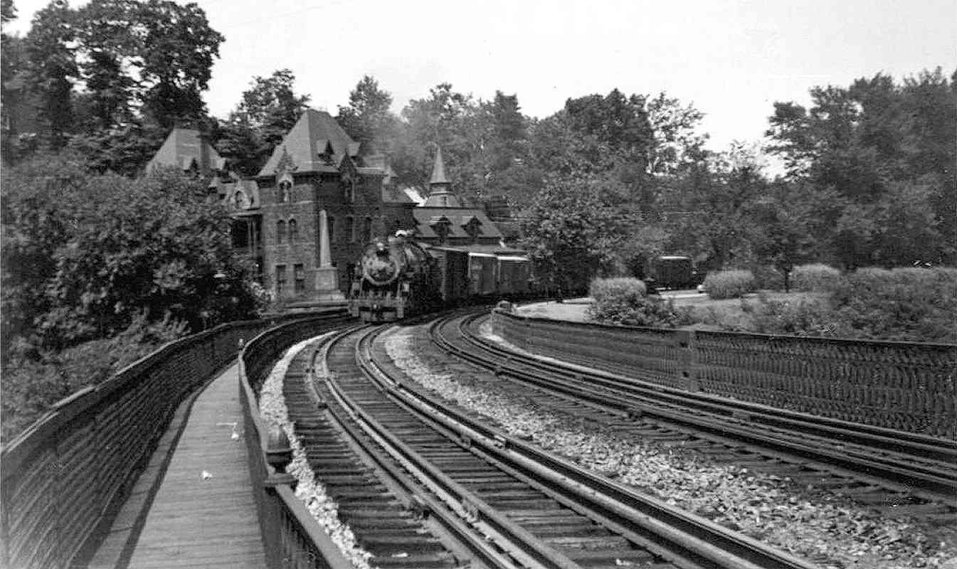
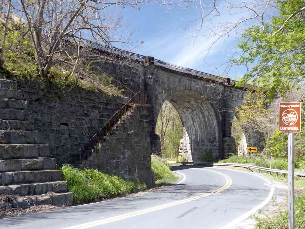
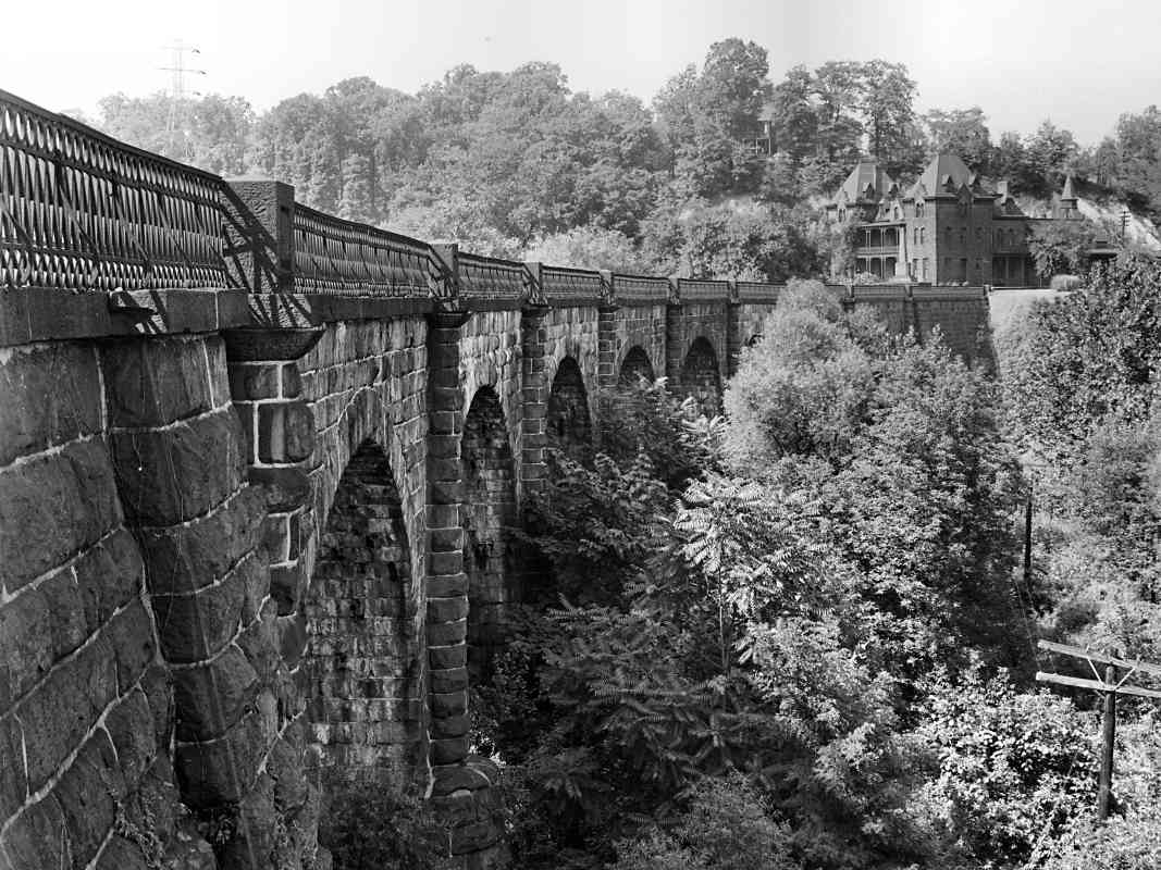
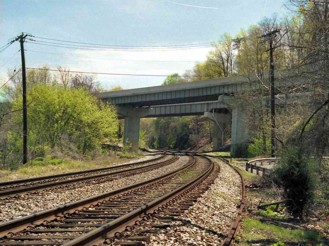
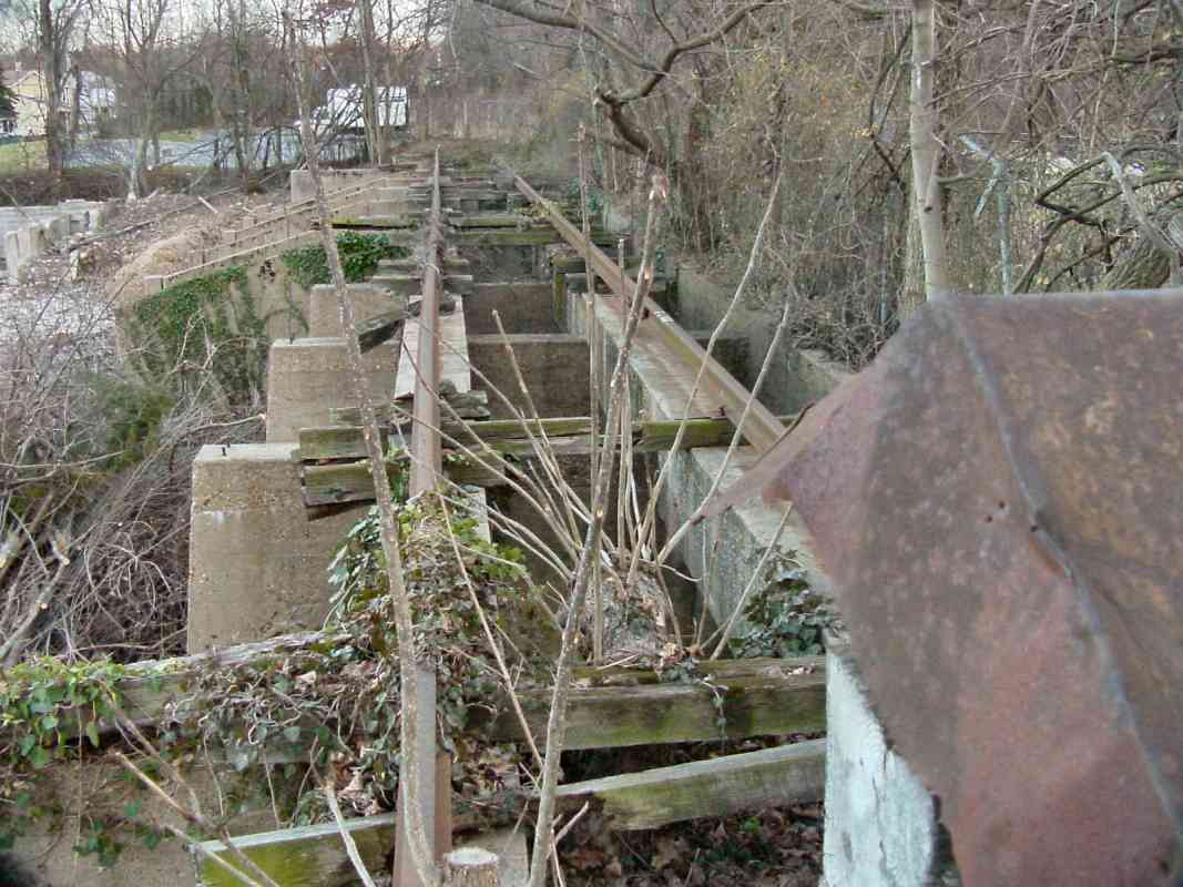
The portion of US 1 seen here was built during the 1920s to bypass
downtown Elkridge and the railroad's grade crossing at Main Street.
Back in 1829, B&O had to cross the same turnpike at a location
farther north (now the Morrell Park area of Baltimore) and there built
Jackson's Bridge, a 100+ foot wooden span that carried the road
over the railroad.
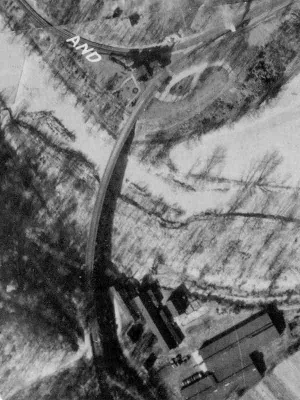
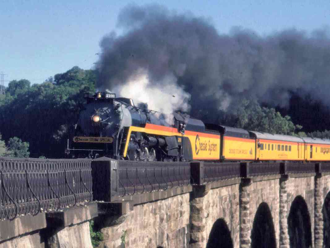
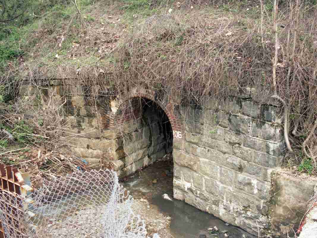
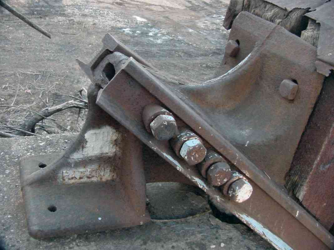
Near the distant sunlit area, during the 1800s the turnpike spanned
the Patapsco River via a bridge whose tolls were so reviled that
in 1866 tollgate keeper David White was murdered. As of 2023,
the bridge edition dated 1953 remains on duty.
Link:
murder at the toll bridge
| 


