TrainWeb.org Facebook Page
B&O Metropolitan Branch Photo Tour


B&O Metropolitan Branch
Modern day photo tour

Accompanying each photo below are:

Click a photo to see a larger view. Please send your comments and corrections to Steve.


<< Previous (east) | THIS PAGE: Germantown to Winderbourne | Next (west) >>

Brief Historical Background:

Diverge
Photo courtesy Dave Hiteshew

Diverge
Mile: 26.5 Date: Oct 2008
Ease: B+ View: W
Area: A IC2:
Map: Mo 18 D 3 Topographic Maps

West of Germantown Station, the original Metropolitan Branch alignment had continued curving to the left rather that straightening out as the current alignment does in this pic.

Nearest is the Germantown Road bridge. A bridge beyond for Father Hurley Boulevard had not yet been constructed.


Aerial 2015
Photo courtesy Google

Aerial 2015
Mile: 26.5 to 27.3 Date: Apr 2015
Ease: View: N (up)
Area: IC2:
Map: Mo 18 D 3 Topographic Maps

This aerial postdates Father Hurley Boulevard (upper left), but we've already started from Germantown Station at the blue icon at bottom right. MD 188 is Germantown Road. We'll follow the green line west (left) as it traces the original B&O alignment, relics of which have survived into the 21st century.


Mounded

Mounded
Mile: 27.0 Date: Feb 2022
Ease: B+ View: E
Area: A IC2:
Map: Mo 18 B 2 Topographic Maps

The original right-of-way heads toward the camera from the middle of this reverse view. The rails were perched on a mound of soil that is probably wide enough for double track. B&O double tracked portions of the Met from the get go, often near stations, in this case, Germantown's.


Culvert

Culvert
Mile: 27.0 Date: Feb 2022
Ease: B+ View: W
Area: A IC2:
Map: Mo 18 B 2 Topographic Maps

The mound (left) is more evident from off to its side, as in this view. The stone culvert at bottom left confirms the railroad had been here. A bit of concrete patching on the culvert suggests this route was active into the 20th century. Finding forgotten relics like this is one of the best rewards that come from exploring railroad history.

The bright patch at upper right belongs to housing along Harvest Glen Way that around year 2000 was squeezed between this original alignment and the current one.


Path

Path
Mile: 27.0 Date: Feb 2022
Ease: B+ View: W
Area: A IC2:
Map: Mo 18 B 2 Topographic Maps

The ex-right-of-way leads between the trees as center as it curves along the south side of that housing. A lightly-used path follows it west then peters out at a retaining pond adjacent Father Hurley Boulevard.


Speculations
Photo courtesy Google

Speculations
Mile: 27.1 to 27.9 Date: Apr 2015
Ease: View: N (up)
Area: IC2:
Map: Mo 18 D 3 Topographic Maps

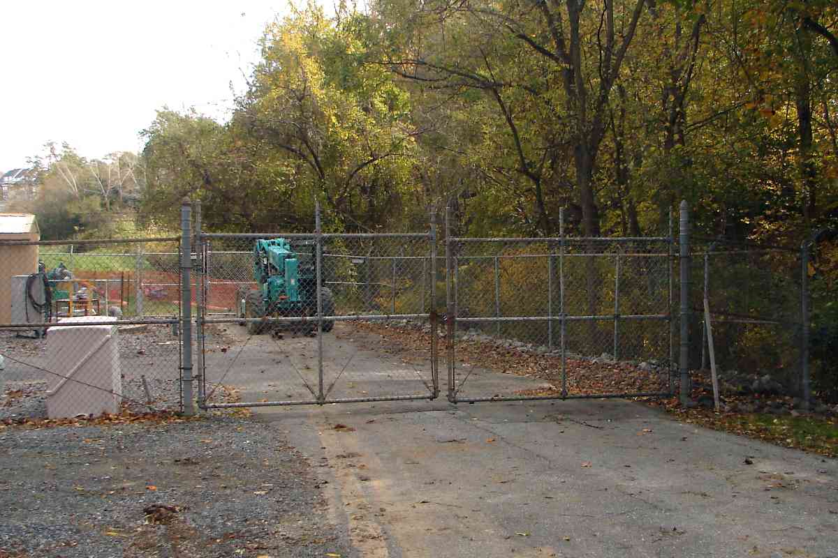
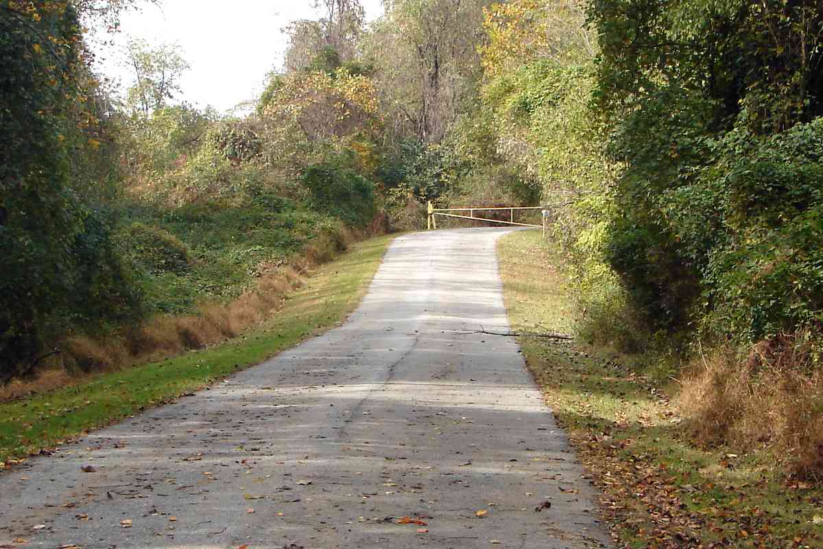
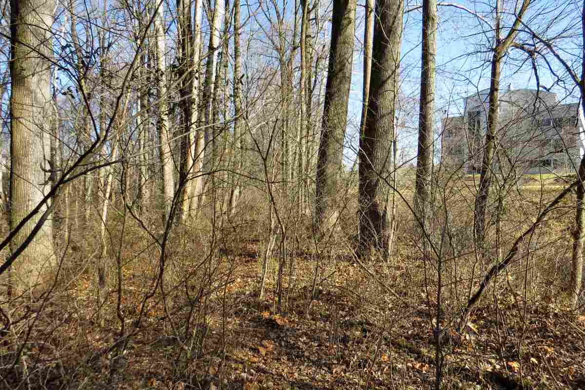
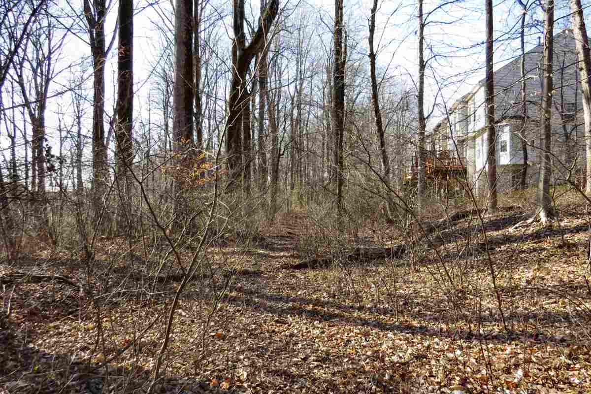
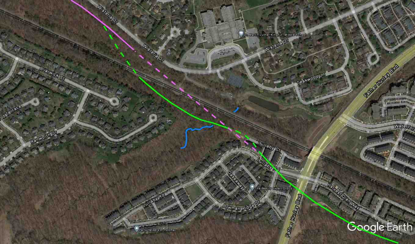
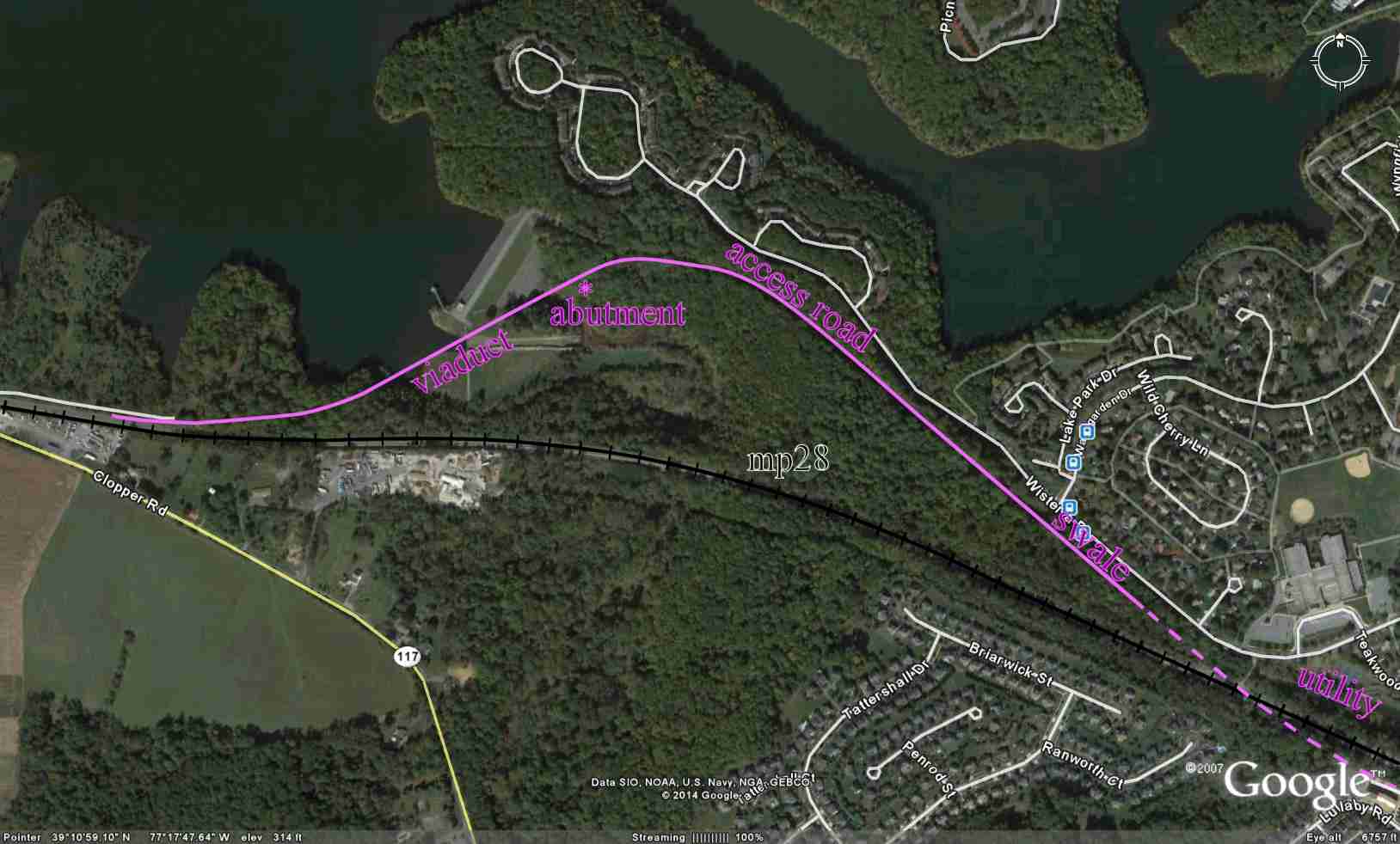
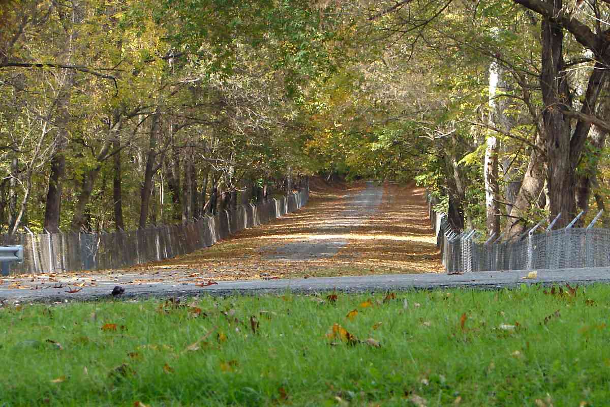
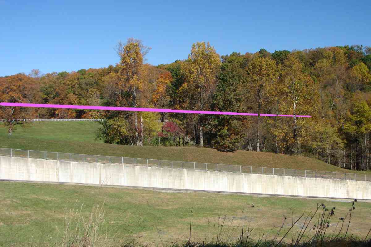
In the vicinity of Father Hurley Boulevard, the original alignment (green) has been smoothed over by housing.

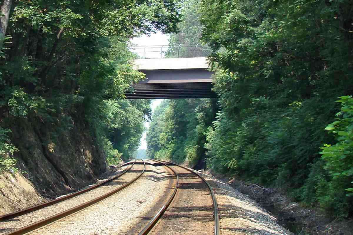
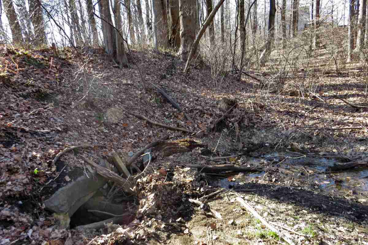
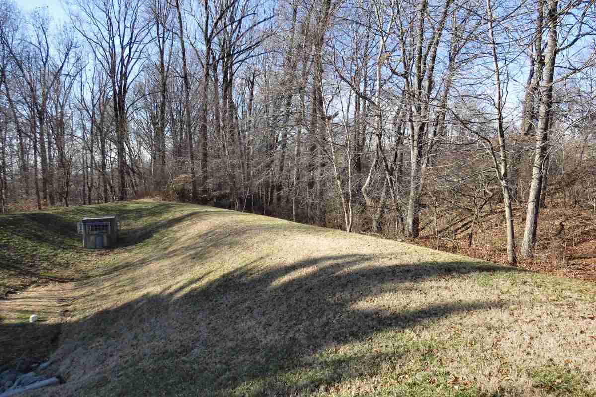
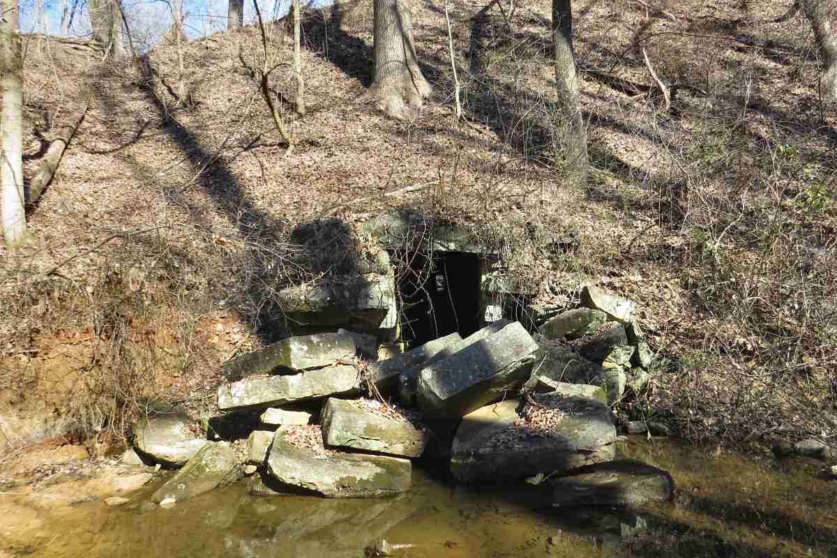
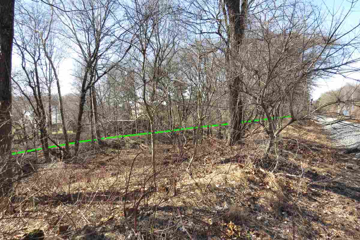
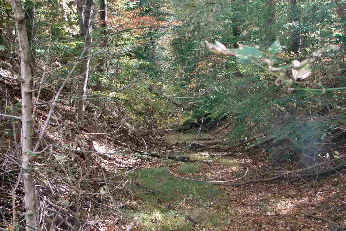
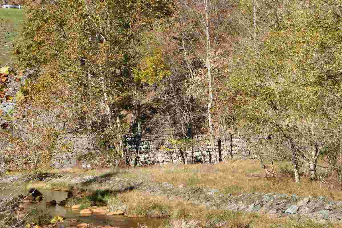
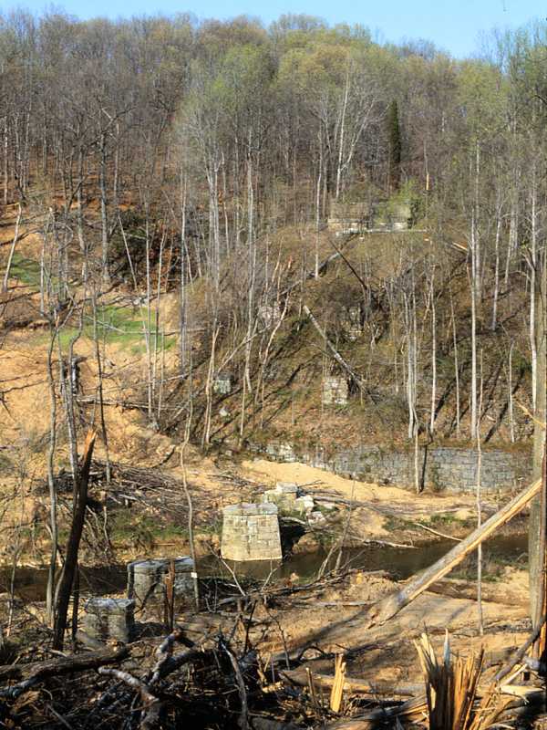
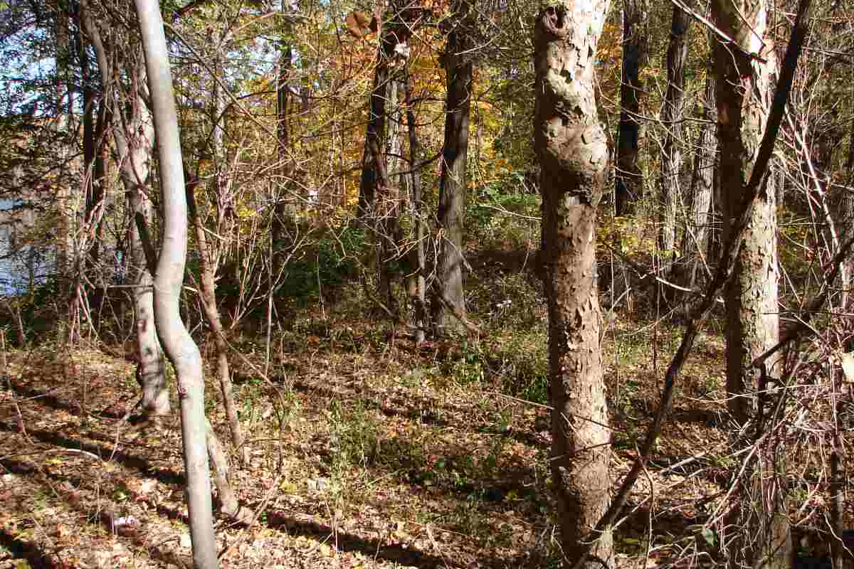
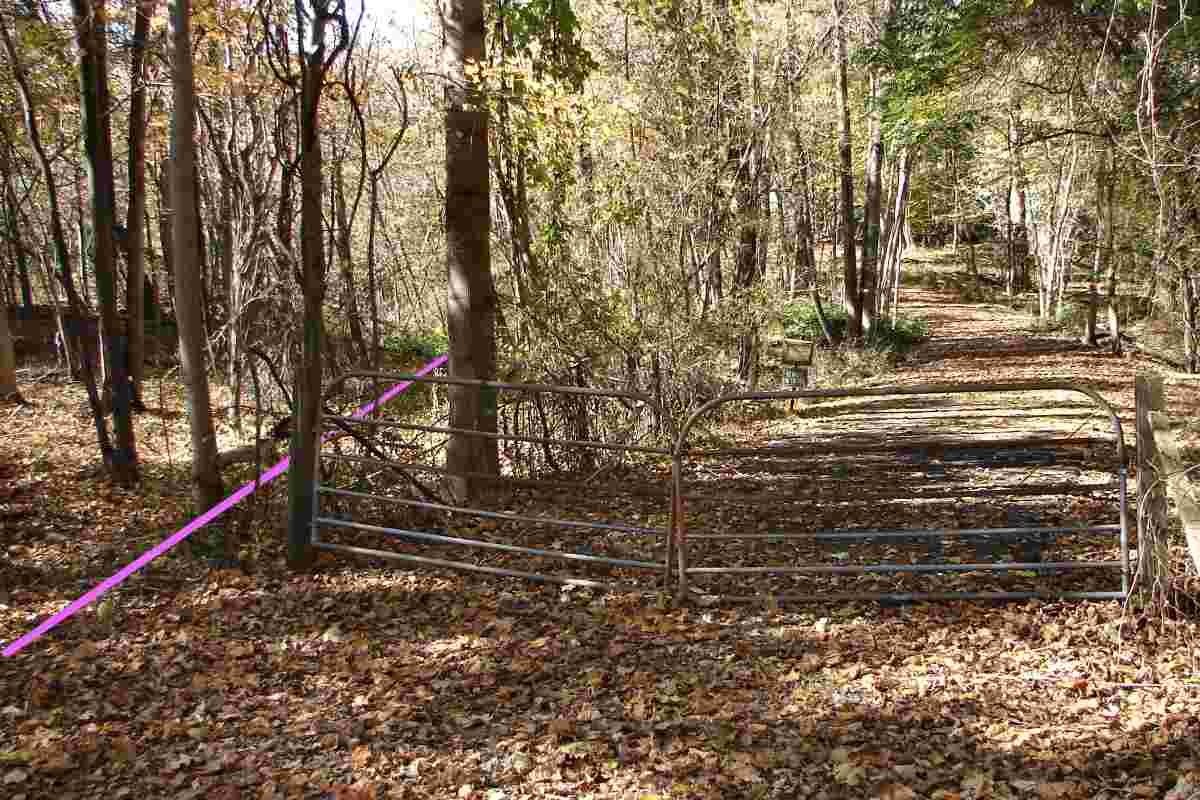
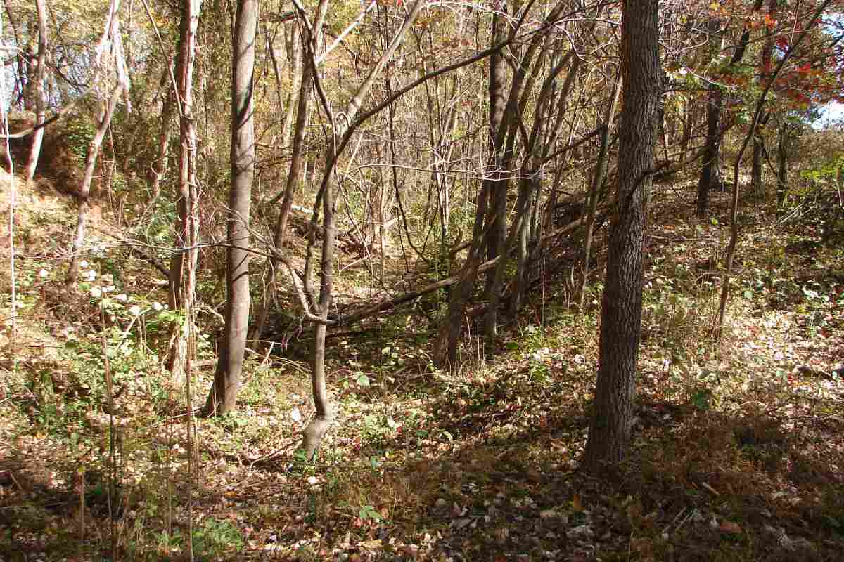
The solid lines trace stretches of railroad known via photographic evidence or surviving grading, either mounds or cuts. Because the original alignment does not lead to the excavated cut (magenta), I suspect magenta follows a second alignment that straightened an unnecessary arc in the original. This second alignment may have arisen when in 1896 
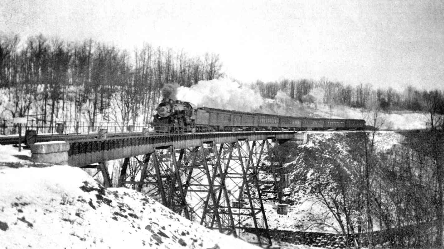
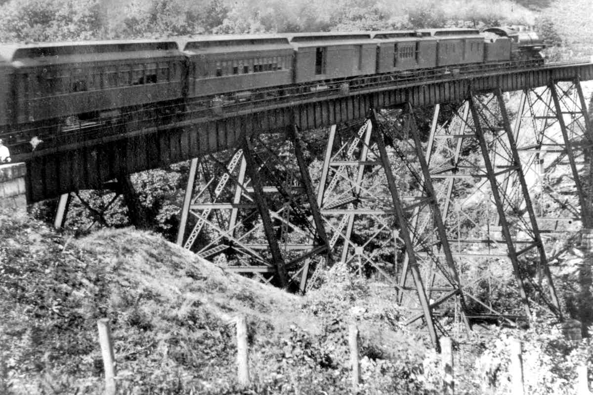
B&O swapped out a wooden trestle over Seneca Creek for a steel version.

The dashed lines represent my speculation as to the location of the original and second alignments. Housing plus the third (current) railroad alignment erased what could have been supporting physical evidence.


Maybe

Maybe
Mile: 27.3 Date: Feb 2022
Ease: B+ View: NW
Area: A IC2:
Map: Mo 18 B 2 Topographic Maps

Both the original and postulated second alignment passed very close to what is now a retaining pond at the west end of Lullaby Court. It might be that one or even both long sides of this pond were resculpted from the railroad's graded mounds here. Precise documentation likely remains locked away in CSX files to which I do not have access.

A drain pipe from this pond leads west to an outlet adjacent the culvert in the next photo.


Definitely

Definitely
Mile: 27.3 Date: Feb 2022
Ease: B View: N
Area: A IC2:
Map: Mo 18 B 2 Topographic Maps

Stone culverts like this tell you the railroad definitely had been here during the 19th century. Stream crossings are relatively expensive to build, so during the 20th century as B&O straightened the line, typically it kept the original crossings, lengthening the culverts underneath where needed.

The other (input) side of this culvert was lengthened at least once, perhaps twice as evidenced by concrete there. A distant small rectangle of light from that end of the elongated culvert can be glimpsed in this photo.


Still There

Still There
Mile: 27.4 Date: Feb 2022
Ease: B+ View: W
Area: A IC2:
Map: Mo 18 B 2 Topographic Maps

The mounded original alignment (green) can easily be seen from the current during winter. Note that the ground elevations shown by Google Earth are unusually inaccurate in this area.


Not Repurposed

Not Repurposed
Mile: 27.4 Date: Oct 2014
Ease: A- View: E
Area: A IC2:
Map: Mo 18 B 2 Topographic Maps

Many segments of disused railroad alignments have been repurposed into roads, but I no longer believe this one (marked "utility" on the map below) to be such. Its elevation is too low compared to the other disused segments in the vicinity.


Utility

Utility
Mile: 27.4 Date: Oct 2014
Ease: A- View: W
Area: A IC2:
Map: Mo 18 B 2 Topographic Maps

Same spot as prior photo, but looking the opposite direction. The current aligment is perched about 10 feet higher on the left while Wisteria Drive is on the right. Beyond the mound, the original and second alignments had angled to the right.


Map
Photo courtesy Google

Map
Mile: 27.4 to 28.6 Date: ~2010
Ease: View:
Area: A IC2:
Map: Mo 17 K 1 Topographic Maps

This tour has reached the area on the right; the magenta line traces the original / second alignment, black the current. By taking a more direct route, the current alignment is about 800 feet shorter.


Swale

Swale
Mile: 27.7 Date: Oct 2014
Ease: B+ View: SE
Area: A IC2:
Map: Mo 18 B 2 Topographic Maps

This swale-like cut marks what appears to have been shared by the original and second alignment. Its narrowness suggests B&O never installed more than single track here. The photo location is near the intersection of Wisteria Drive and Wanegarden Drive. See "swale" on the map above.


Access Road

Access Road
Mile: 27.7 Date: Oct 2014
Ease: B+ View: NW
Area: A IC2:
Map: Mo 18 B 2 Topographic Maps

Looking opposite the prior photo finds the abandoned right-of-way has been paved over by an access road to the dam at Little Seneca Lake. The serious fencing is odd because 1) this is public parkland, 2) boaters can access the dam via the lake, and 3) much of the opposite bank of the river is not blocked by fences or signage. See "access road" on the map below.


Abutment

Abutment
Mile: 28.2 Date: Oct 2014
Ease: C View: N
Area: A IC2:
Map: Mo 17 K 1 Topographic Maps

At top left of the photo, the access road has turned left toward Little Seneca Dam. Below near photo center is the the only surviving artifact of B&O's bridge: the stone abutment that now serves as a retaining wall.


Seneca Viaduct
Photo courtesy HH Harwood collection

Seneca Viaduct
Mile: 28.3 Date: ~1920
Ease: B- View: NE
Area: A IC2: 171
Map: Mo 17 K 1 Topographic Maps

That abutment is below the far end of the bridge in this circa 1920 photo. This steel one lasted from 1896 to 1923, preceded by an even longer timber bridge. Presumably this steel bridge was erected adjacent the timber bridge so that the latter could remain in service. For the location, see "viaduct" on the map above.


Eastbound
Photo courtesy Carlos Avery collection

Eastbound
Mile: 28.3 Date: ~1920
Ease: B- View: NE
Area: A IC2:
Map: Mo 17 K 1 Topographic Maps

I would guess the wooden version had been adjacent on the northwest (left) side of this one. To my knowledge, both versions were single tracked.

Link: 1980


Dam Prep
Photo credit pending
NEW! late-Sep 2023

Dam Prep
Mile: 28.3 Date: May 1980
Ease: B- View: NE
Area: A IC2:
Map: Mo 17 K 1 Topographic Maps

Preparation for Little Seneca Lake began during the 1970s. Clearing of trees made the old bridge piers more evident.

As is true of all lakes in Maryland, Little Seneca Lake is man-made. Natural lakes north of Maryland were formed and filled by glaciers that have been retreating for the past 10,000 years or so.


Dam

Dam
Mile: 28.2 Date: Oct 2014
Ease: C View: N
Area: A IC2:
Map: Mo 17 K 1 Topographic Maps

This is what it looks like after the dam. The magenta line marks approximately where the wooden and steel bridges had been. The concrete trough across the foreground is the dam's spillway.


Trees

Trees
Mile: 28.3 Date: Oct 2014
Ease: B- View: NE
Area: A IC2:
Map: Mo 17 K 1 Topographic Maps

The lake can be glimpsed at the left. This is probably closer to where the photographer stood for that 1920s photoz above. I'm including it because the original alignment passes through here and because you didn't believe me about the trees.


Winderbourne

Winderbourne
Mile: 28.4 Date: Oct 2014
Ease: B View: W
Area: A IC2:
Map: Mo 17 K 1 Topographic Maps

The road on the right skirts around the historic Winderbourne estate on the way to a flood monitor near the current railroad bridge over Little Seneca Creek. Between 1873 and 1923 trains had passed here, roughly as marked by the magenta line.

Link: Winderbourne Historic Preservation info


Cut

Cut
Mile: 28.5 Date: Oct 2014
Ease: B View: E
Area: A IC2:
Map: Mo 17 J 1 Topographic Maps

This cut marks the original alignment as the current approaches on the right. Compared to disused stretches along the Old Main Line, this one is less obvious, probably because it had been single-track.


Cut

Cut
Mile: 28.5 Date: Oct 2014
Ease: B View: W
Area: A IC2:
Map: Mo 17 J 1 Topographic Maps

Turn around to see where the two alignments rejoin, briefly, to curve around a hill.


Winderbourne Bridge
Photo courtesy Margaret Coleman

Winderbourne Bridge
Mile: 28.6 Date: ~1920
Ease: B+ View: NW
Area: A IC2:
Map: Mo 17 J 1 Topographic Maps

The Winderbourne estate was at the mercy of B&O for access that was provided by this bridge until the railroad apparently renegged on the agreement while contructing the new alignment adjacent the old. Legal action ensued, followed by B&O buying the estate. Historic records do not describe why a private grade crossing was an unacceptable compromise.


<< Previous (east) | THIS PAGE: Germantown to Winderbourne | Next (west) >>

Instead, you can resume back along the active line.

Or, return to main page

Copyright Notice