


Click a photo to see a larger view. Please send your comments and corrections to Steve.
Georgetown Branch - Brief Historical Background:
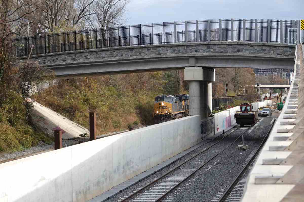
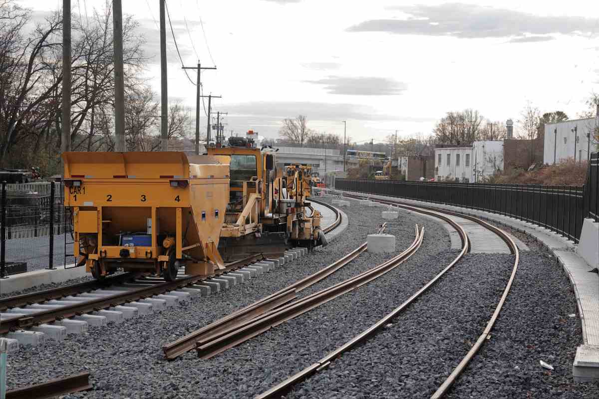
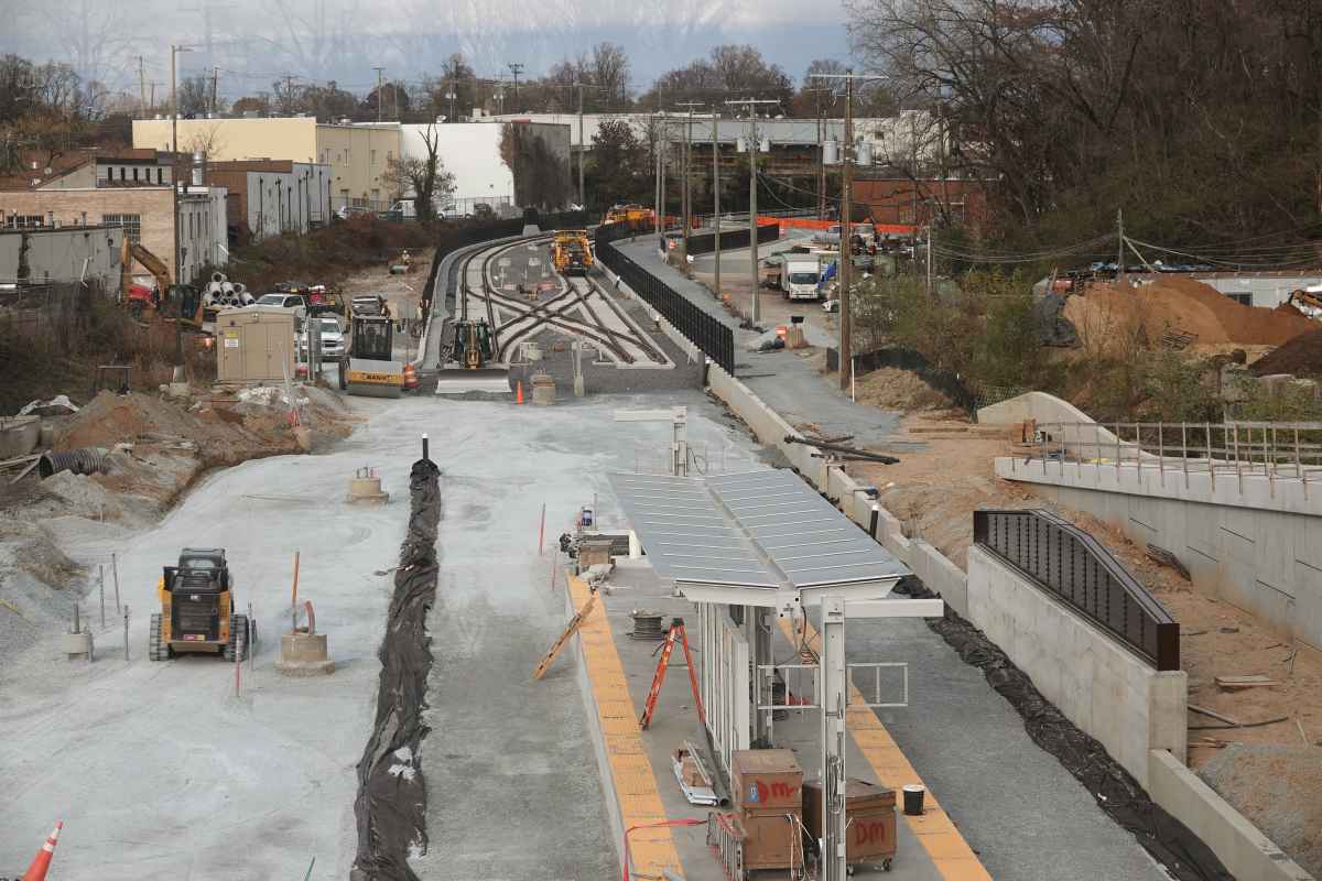
The full branch saw service until March 1985, but was abandoned, converted into the Georgetown Branch Trail, then during the late 2010s saw rails return in the form of the Purple Line light rail. CSX continued service along portions near the main into the 1990s. Most Branch photos come courtesy Dave Hiteshew.
Photo courtesy Dave Hiteshew |
| |||||||||||
| ||||||||||||
Photo courtesy Dave Hiteshew |
| |||||||||||
| ||||||||||||
Photo credit W Grosselfinger B&O History Collection |
| |||||||||||
| ||||||||||||
|
| |||||||||||
| ||||||||||||
|
| |||||||||||
| ||||||||||||
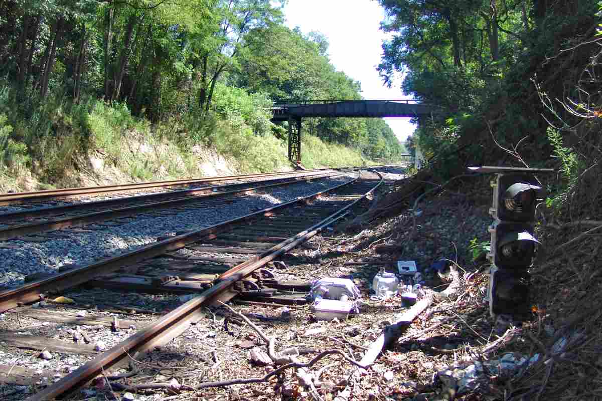
Photo courtesy Dave Hiteshew |
| |||||||||||
| ||||||||||||
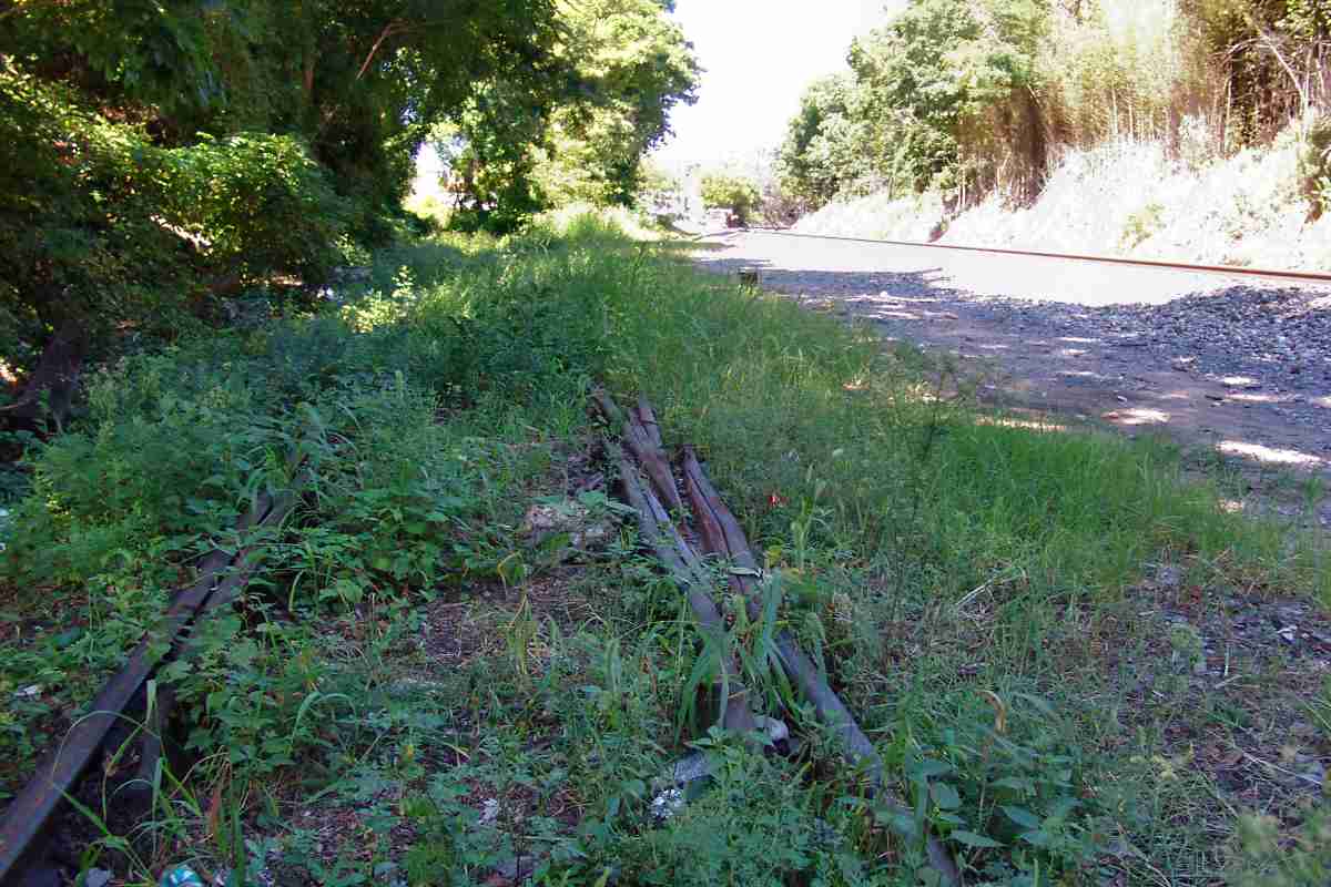
Photo courtesy Dave Hiteshew |
| |||||||||||
| ||||||||||||
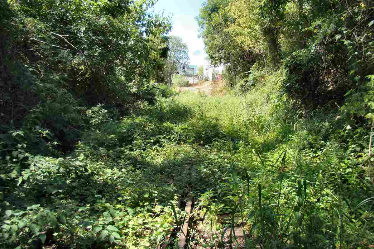
Photo courtesy Dave Hiteshew |
| |||||||||||
| ||||||||||||
Photo courtesy Dave Hiteshew |
| |||||||||||
| ||||||||||||
Photo courtesy Dave Hiteshew |
| |||||||||||
| ||||||||||||
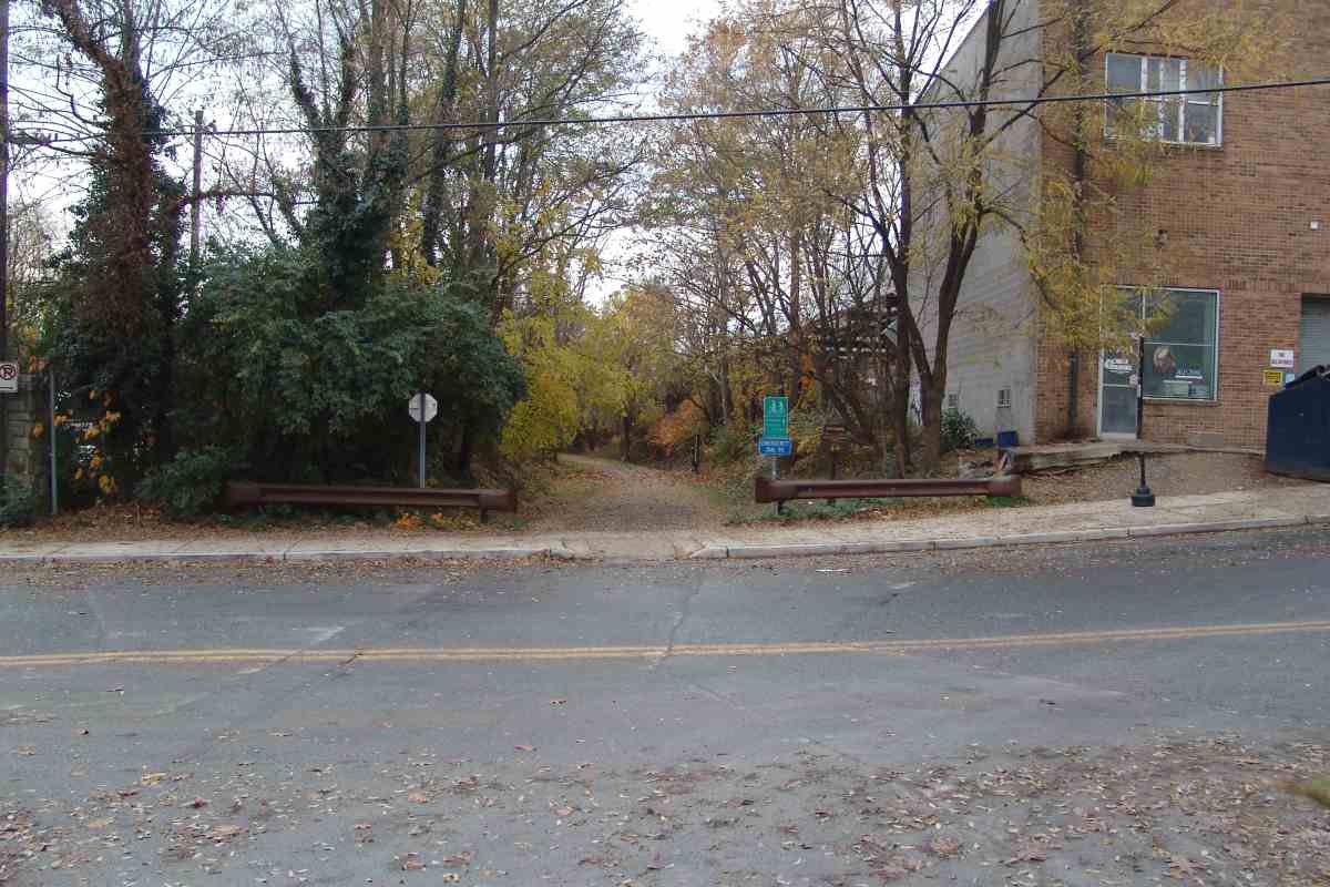
Photo courtesy Dave Hiteshew |
| |||||||||||
| ||||||||||||
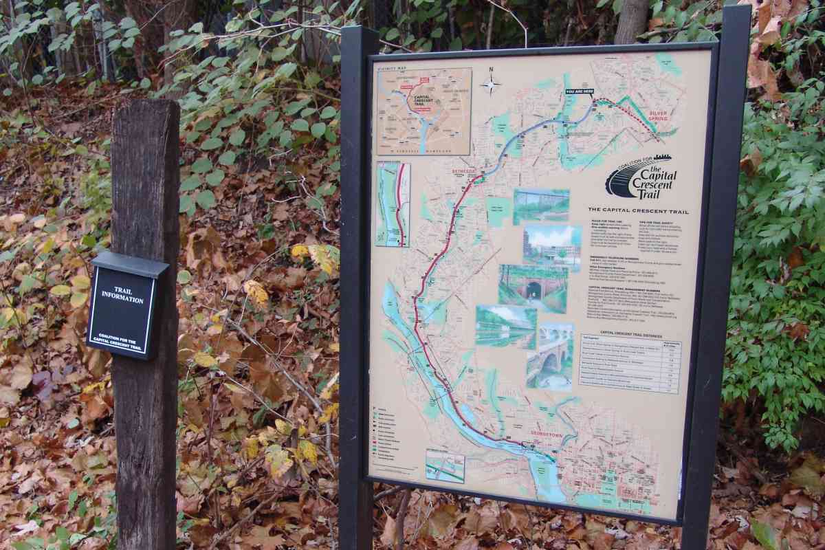
Photo courtesy Dave Hiteshew |
| |||||||||||
| ||||||||||||
|
| |||||||||||
| ||||||||||||
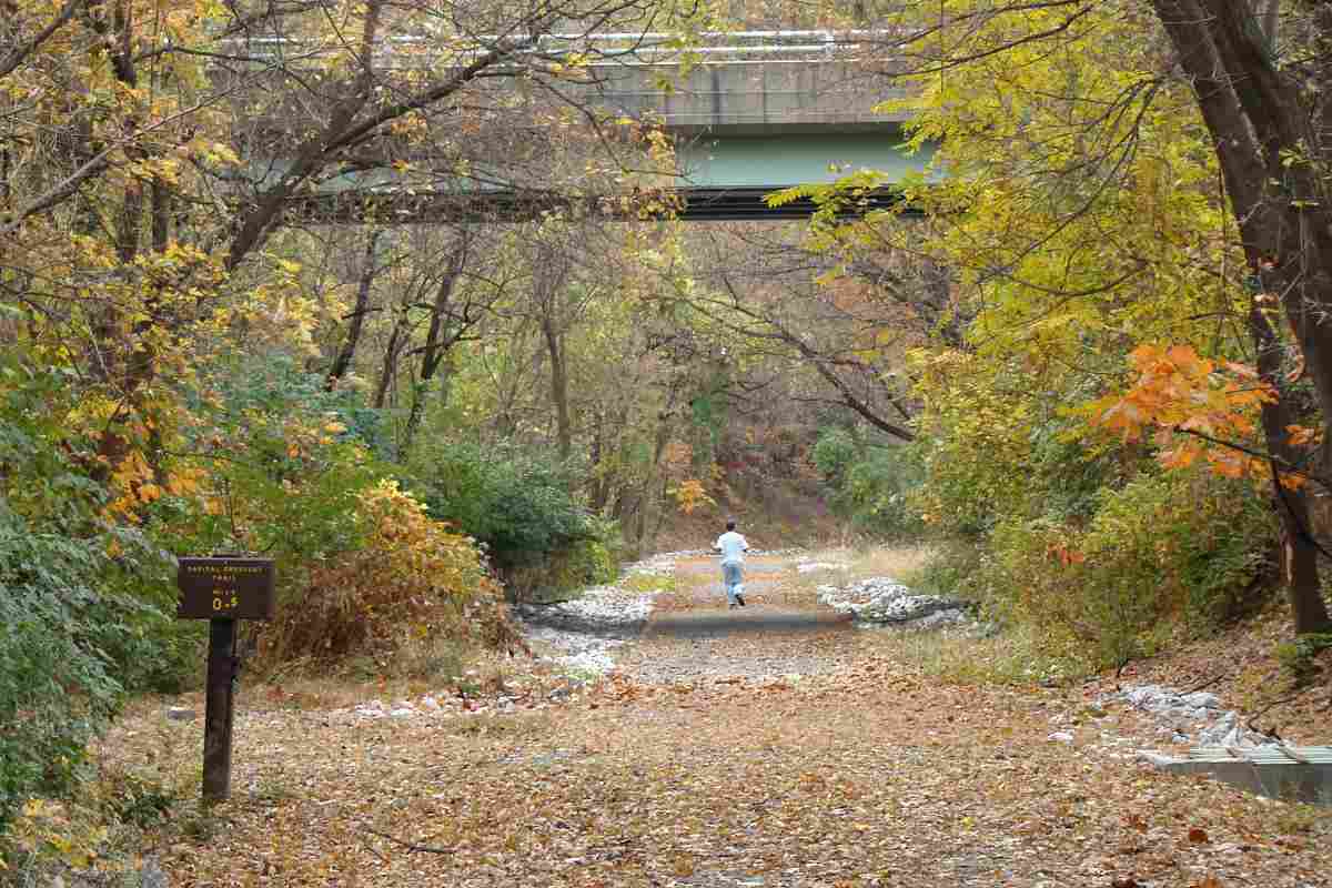
Photo courtesy Dave Hiteshew |
| |||||||||||
| ||||||||||||
|
| |||||||||||
| ||||||||||||
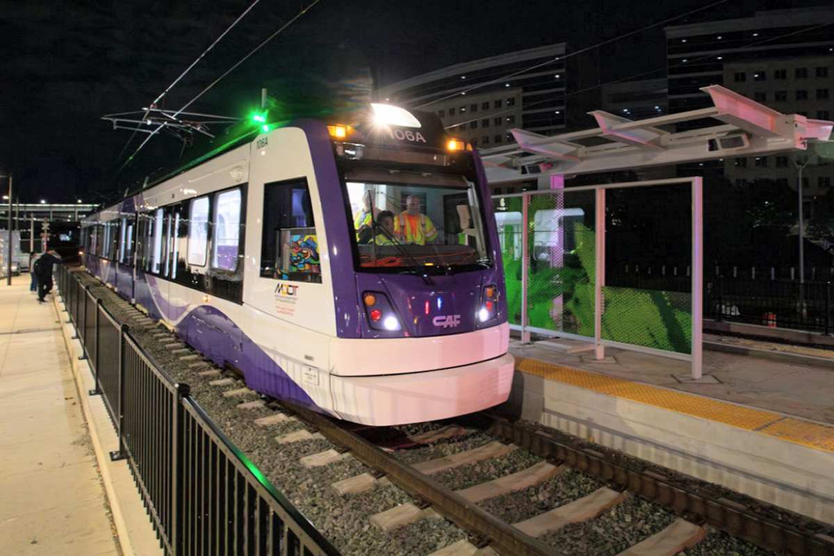
Photo courtesy MDOT |
| |||||||||||
| ||||||||||||
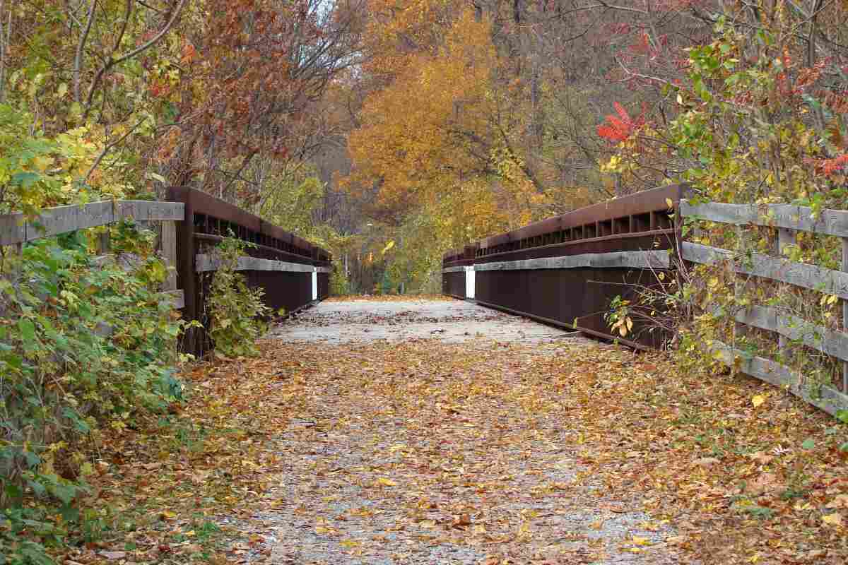
Photo courtesy Dave Hiteshew |
| |||||||||||
| ||||||||||||
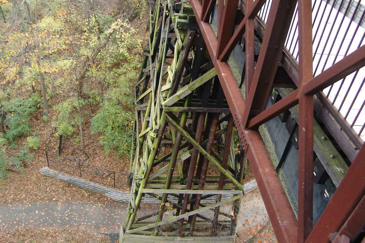
Photo courtesy Dave Hiteshew |
| |||||||||||
| ||||||||||||
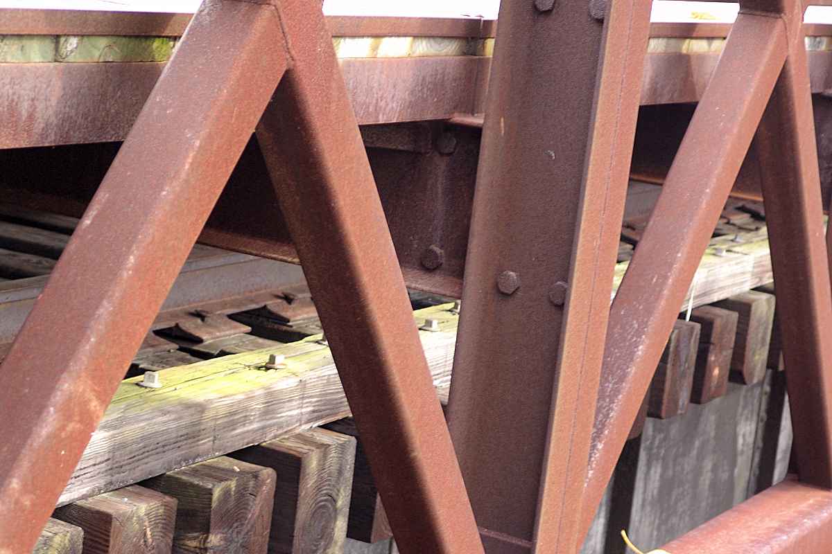
Photo courtesy Dave Hiteshew |
| |||||||||||
| ||||||||||||
Or, return to main page for other tours.
Copyright Notice


