


Click a photo to see a larger view. Please send your comments and corrections to Steve.
Brief Historical Background:
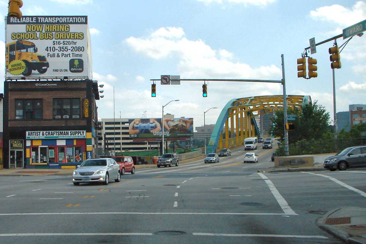
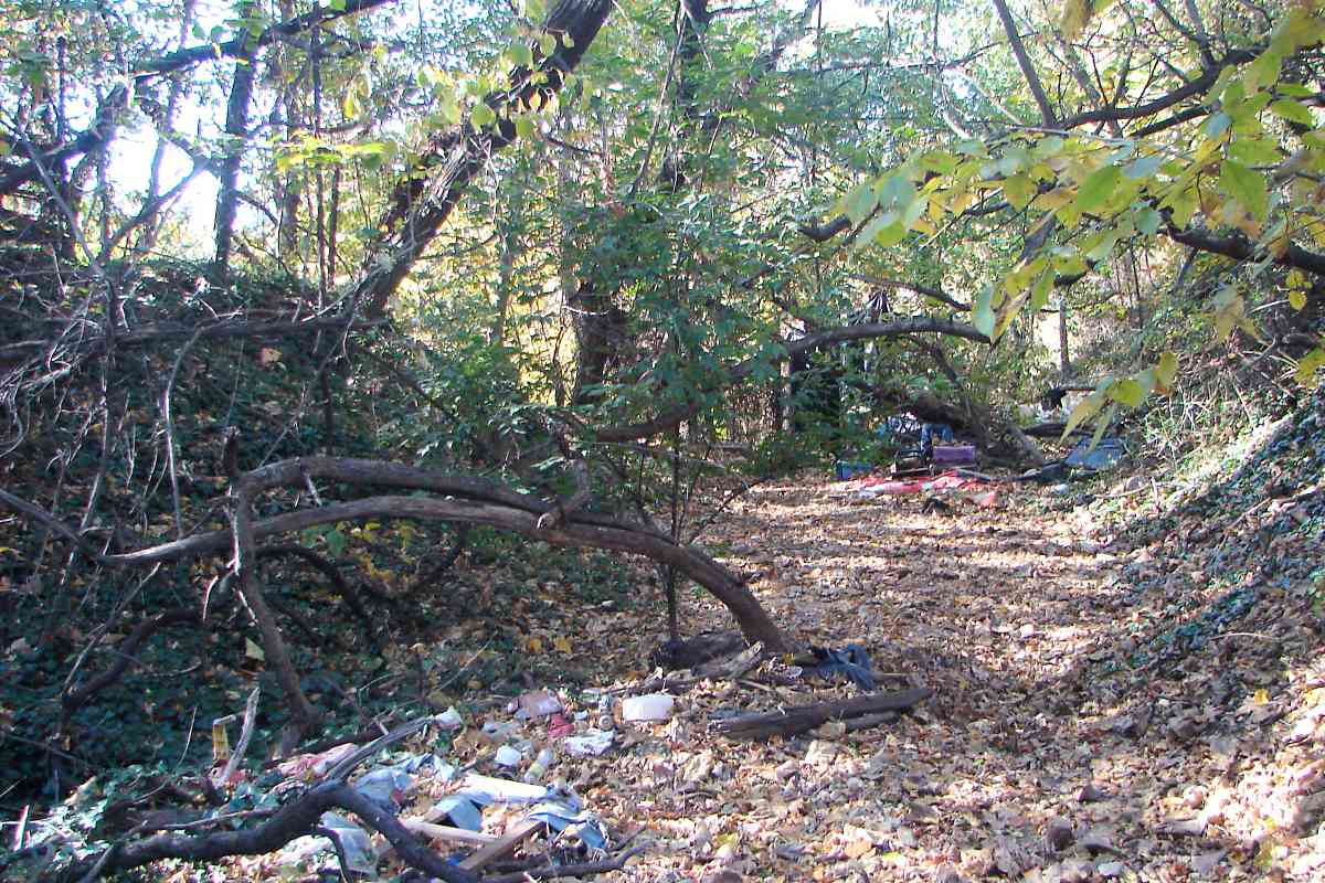
Such limitations were recognized by investors who consequently contributed less-than-enthusiastic levels of funding. Several mergers and reorganizations occurred even before the first rails were laid within Baltimore in 1881. Baltimore and Delta Railway began service between Baltimore and Towson the next year. To minimize construction costs, the line started in narrow gauge form (less distance between rails) and generally avoided large excavations, choosing to instead follow the natural curves of streams and hillsides. Baltimore saw its last Ma & Pa train during the 1950s. Portions of the company's routes near York, Pennsylvania are still in railroad use as of 2025.
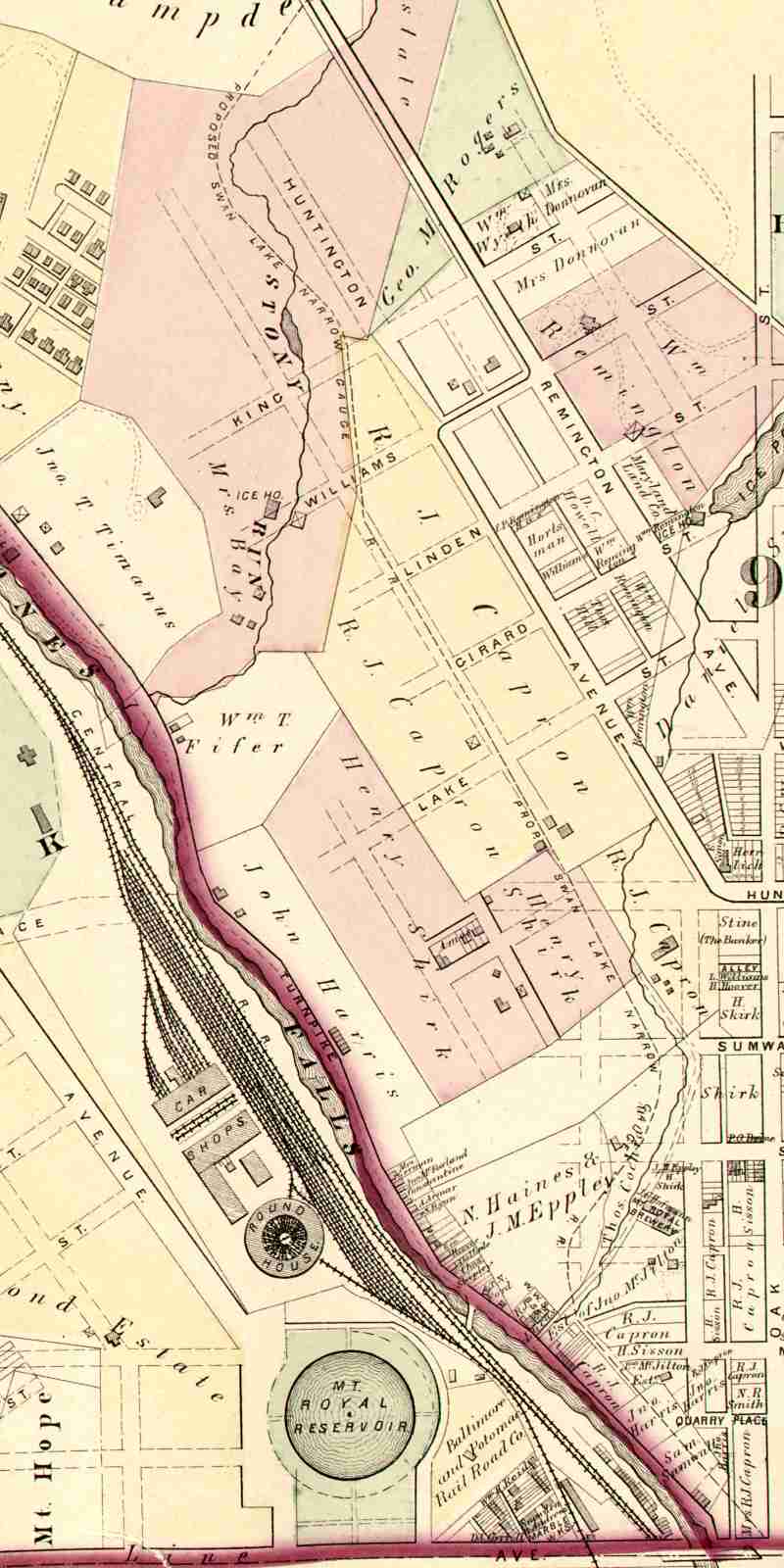
Image courtesy Johns Hopkins University |
| |||||||||||
| ||||||||||||
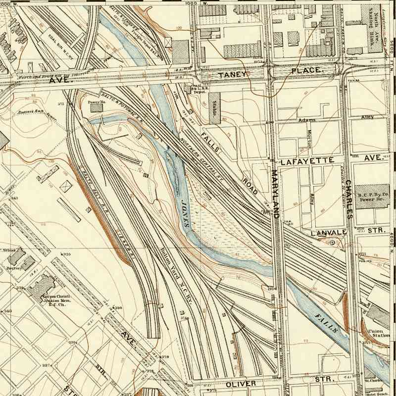
Image courtesy Johns Hopkins University |
| |||||||||||
| ||||||||||||
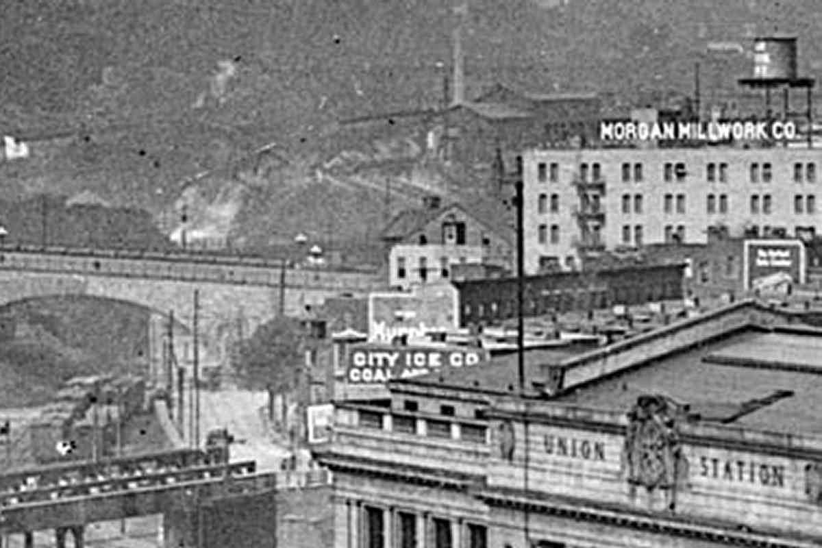
Photo credit Detroit Publishing Company, via Shorpy |
| |||||||||||
| ||||||||||||
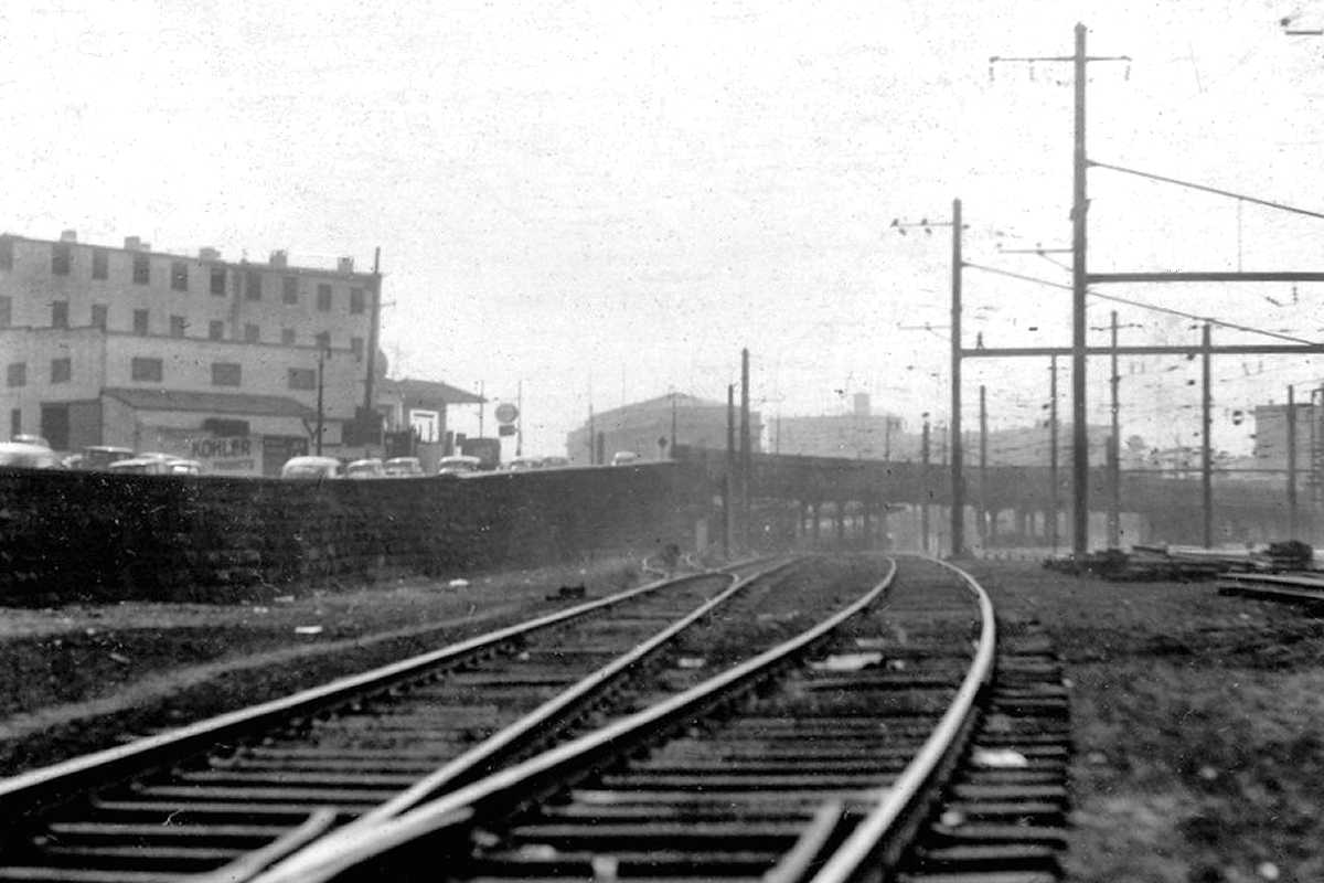
Photo credit John W. Barriger III* |
| |||||||||||
| ||||||||||||
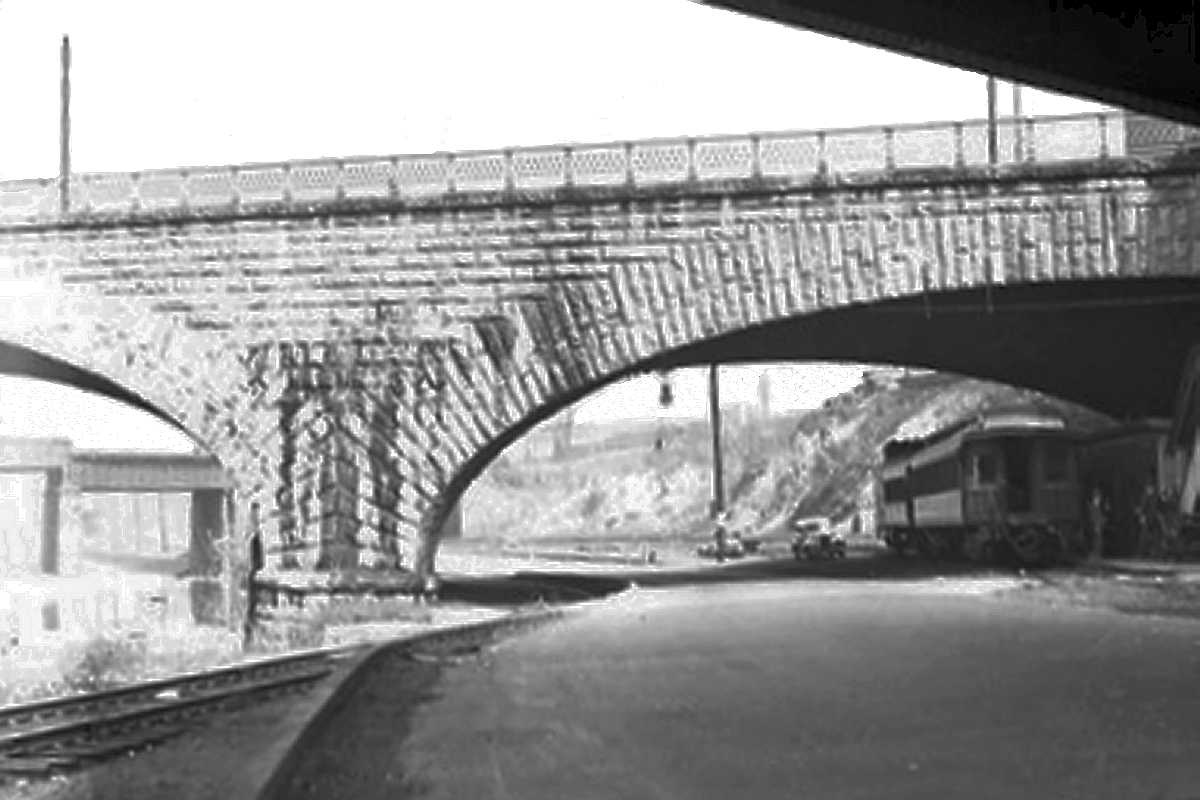
Photo credit John W. Barriger III* |
| |||||||||||
| ||||||||||||

|
| |||||||||||
| ||||||||||||
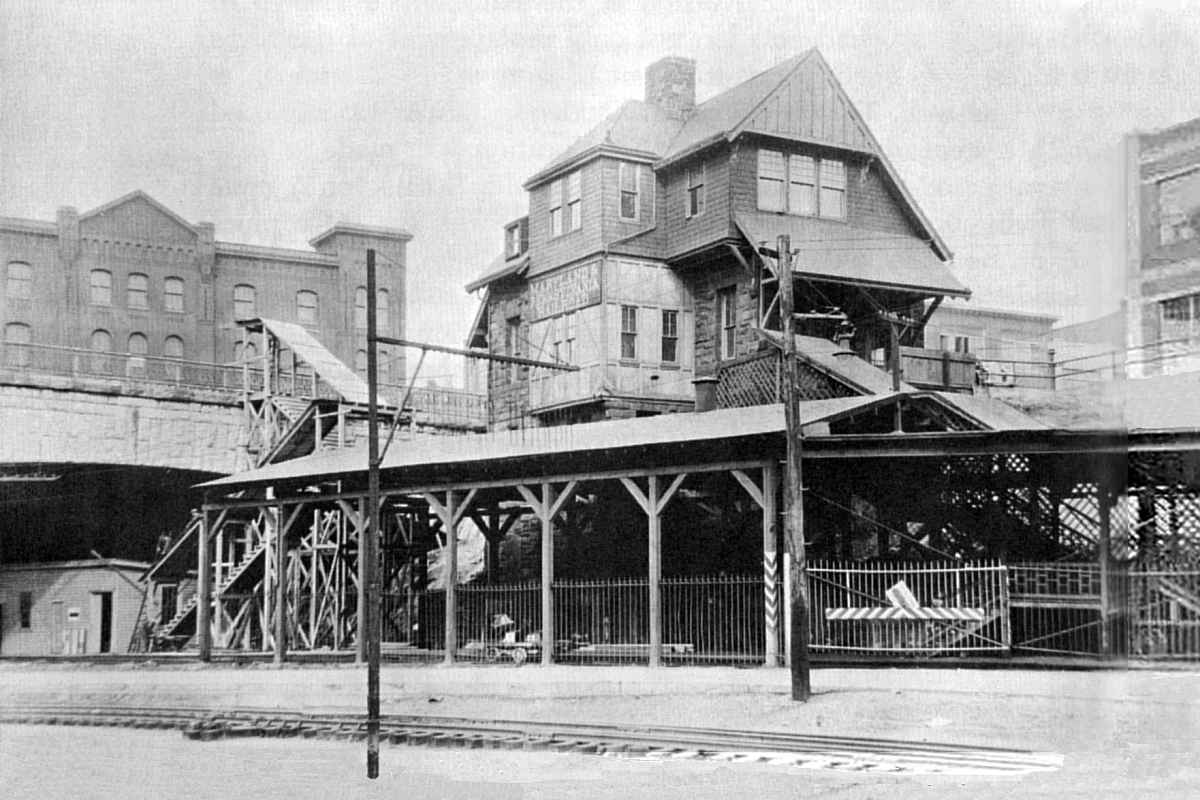
Photo courtesy Cheney Collection and The Ma & Pa by George W. Hilton |
| |||||||||||
| ||||||||||||
|
| |||||||||||
| ||||||||||||
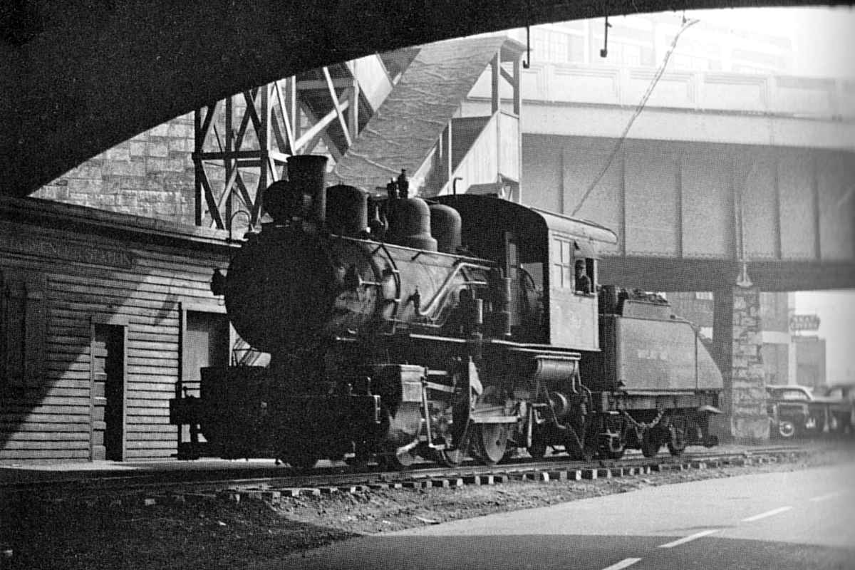
Photo courtesy Trackside Maryland |
| |||||||||||
| ||||||||||||
|
| |||||||||||
| ||||||||||||
Image courtesy Johns Hopkins University |
| |||||||||||
| ||||||||||||
Photo courtesy Johns Hopkins University |
| |||||||||||
| ||||||||||||
Photo courtesy Johns Hopkins University |
| |||||||||||
| ||||||||||||
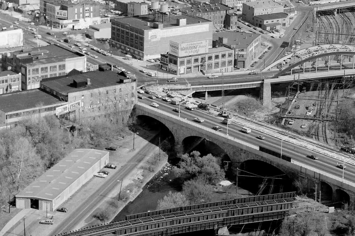
Photo credit Library of Congress |
| |||||||||||
| ||||||||||||
|
| |||||||||||
| ||||||||||||
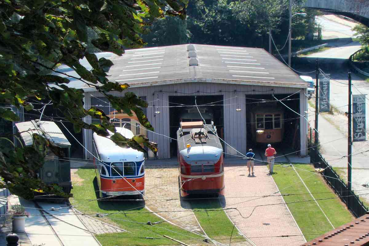
Photo courtesy Dave Hiteshew |
| |||||||||||
| ||||||||||||
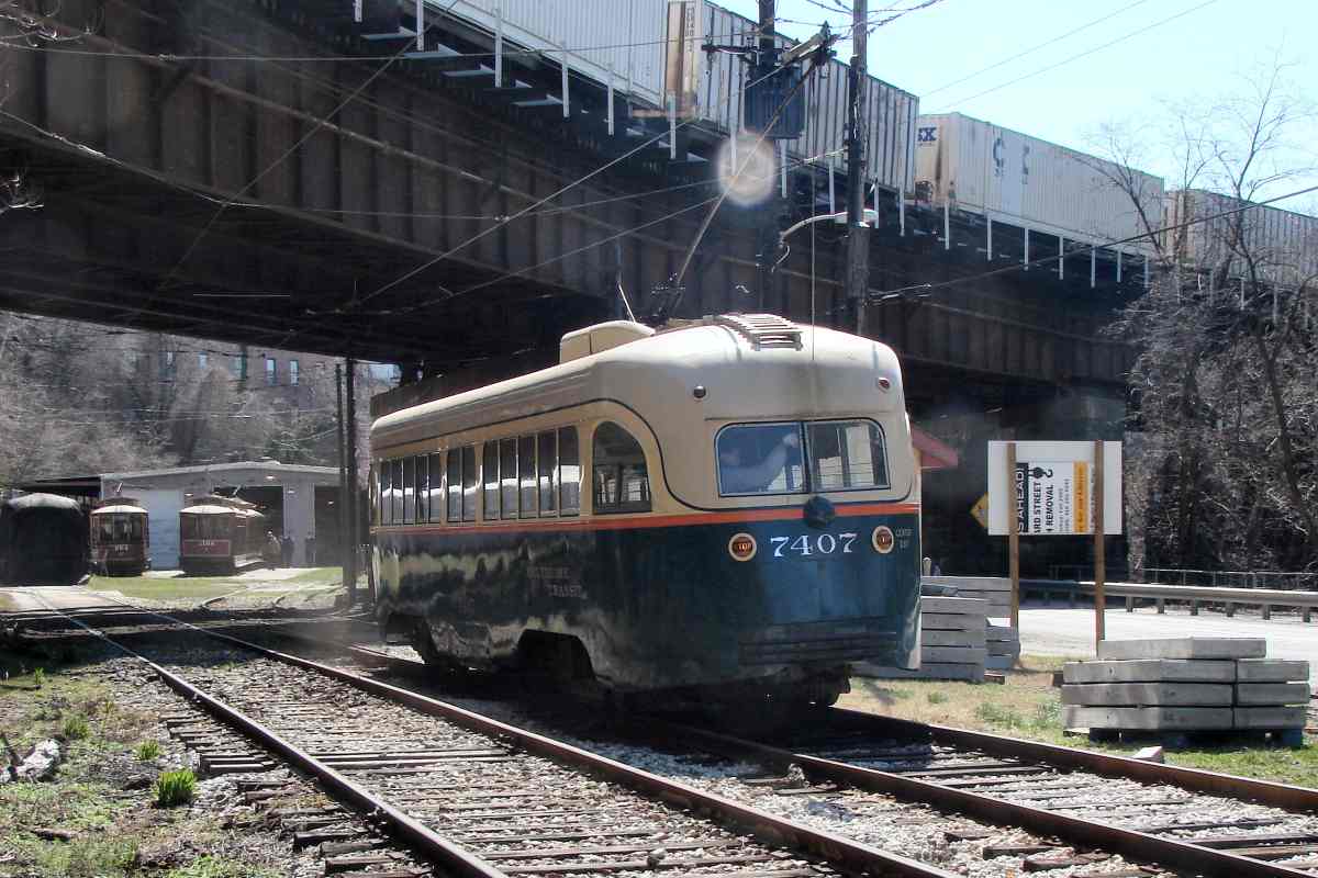
Photo courtesy Dave Hiteshew |
| |||||||||||
| ||||||||||||
Photo credit John W. Barriger III* |
| |||||||||||
| ||||||||||||
|
| |||||||||||
| ||||||||||||
|
| |||||||||||
| ||||||||||||
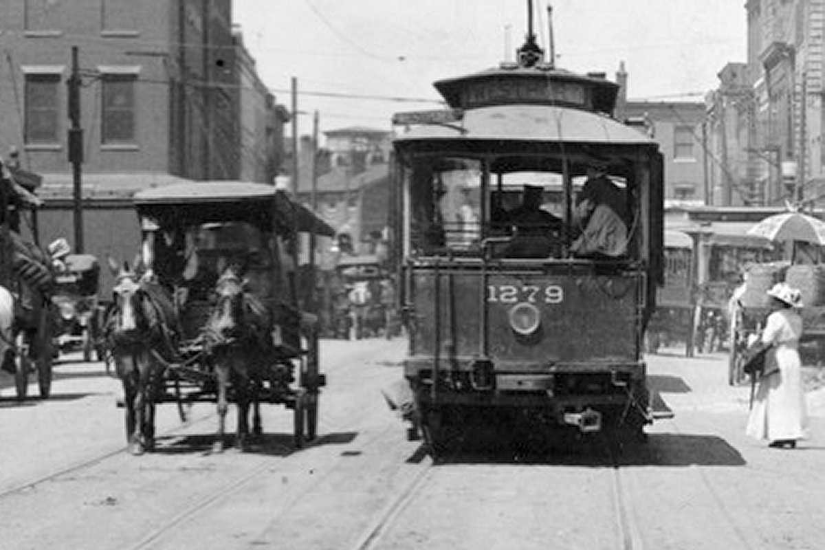
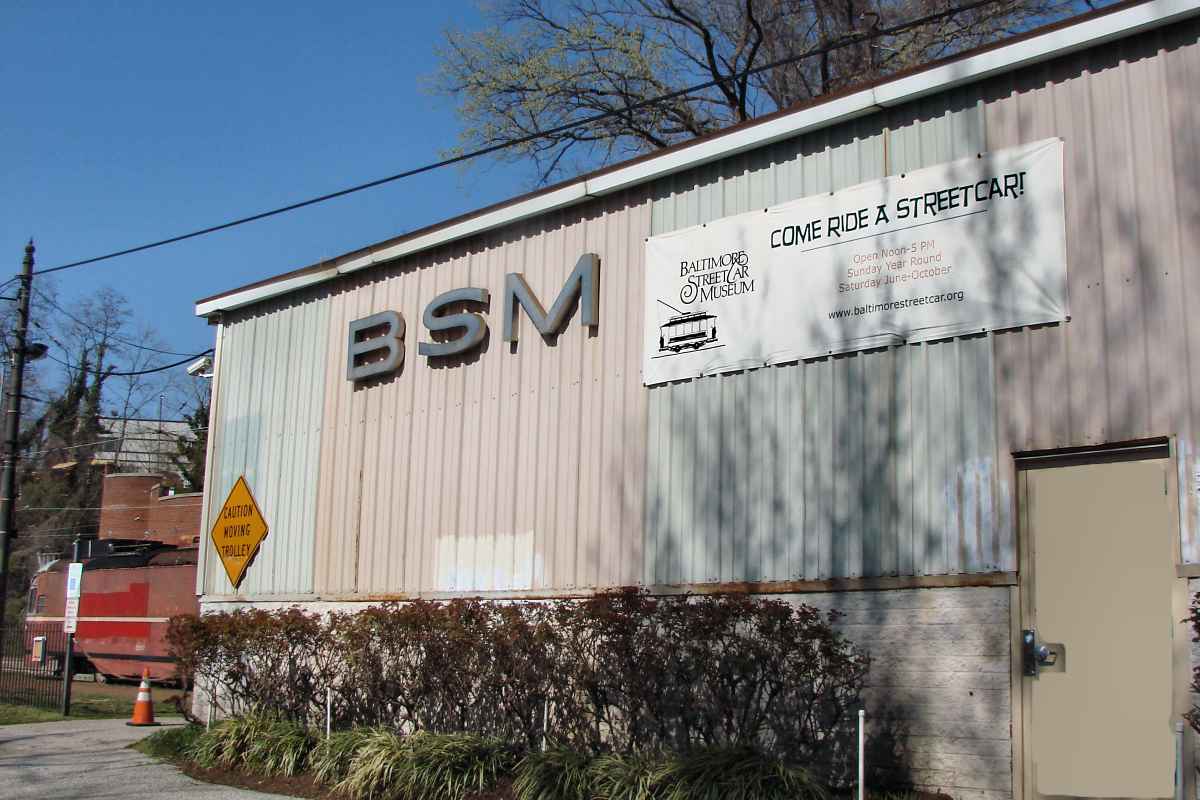
Photo courtesy Baltimore Streetcar Museum and Digital Maryland |
| |||||||||||
| ||||||||||||
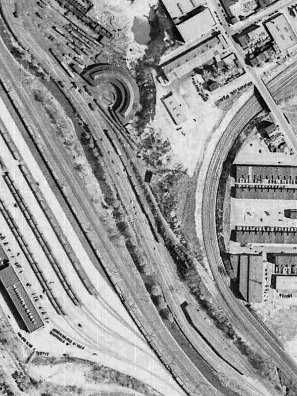
Photo courtesy Johns Hopkins University |
| |||||||||||
| ||||||||||||
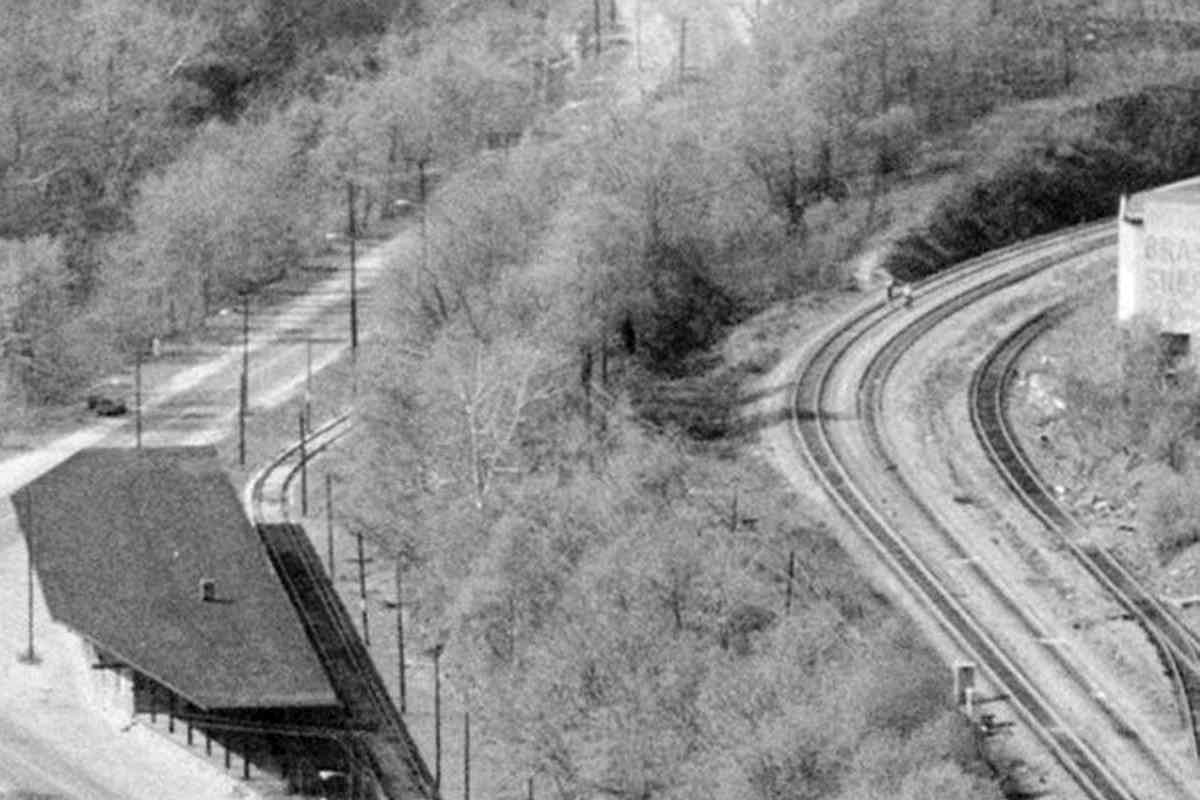
Photo courtesy Library of Congress |
| |||||||||||
| ||||||||||||
|
| |||||||||||
| ||||||||||||
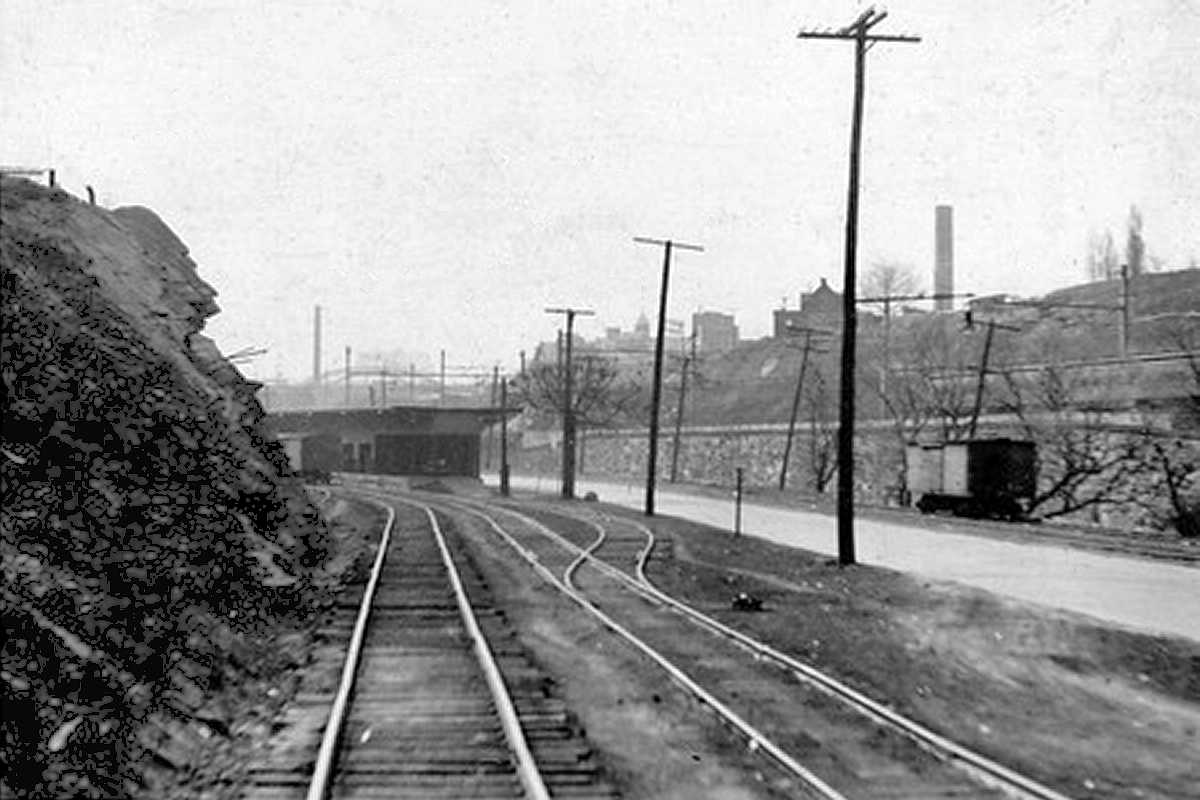
Photo credit John W. Barriger III* |
| |||||||||||
| ||||||||||||
|
| |||||||||||
| ||||||||||||
Photo credit John W. Barriger III* |
| |||||||||||
| ||||||||||||
<< Previous (index) | THIS PAGE: Baltimore Jones Falls | Next (north) >>
Or, return to main page
* John W. Barriger III photos © 2005 St. Louis Mercantile Library at the University of Missouri St. Louis
Copyright Notice


