|
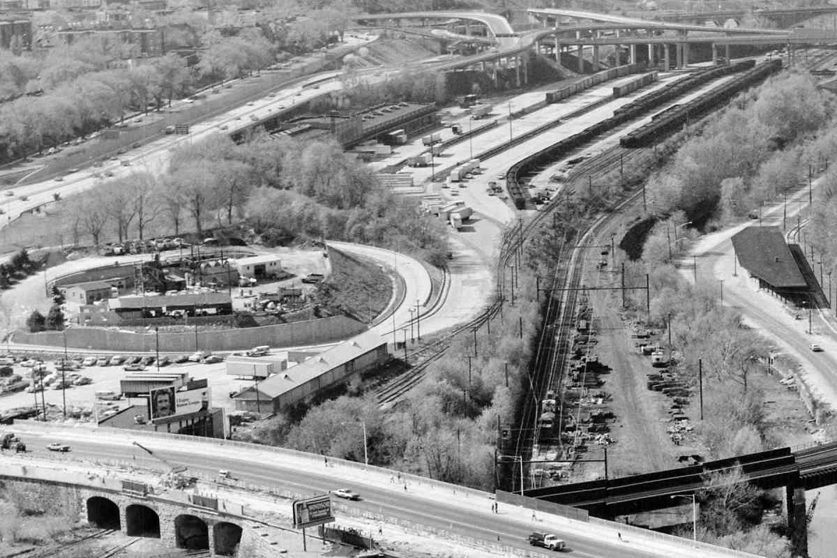
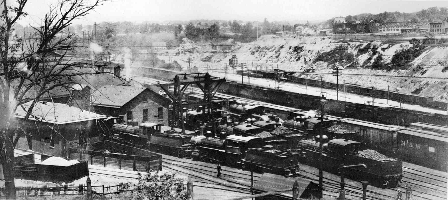
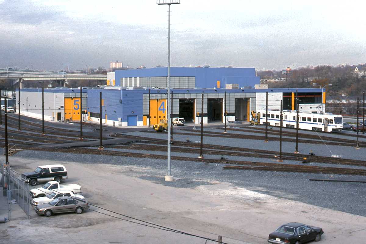
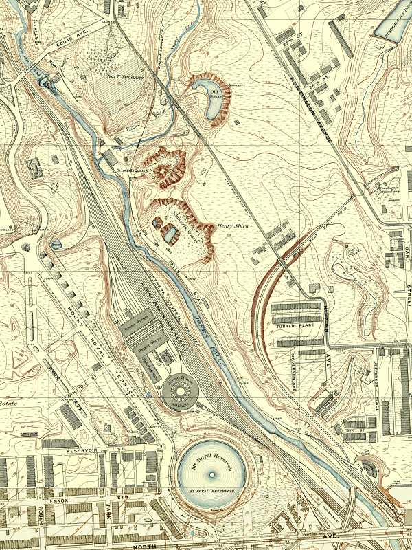
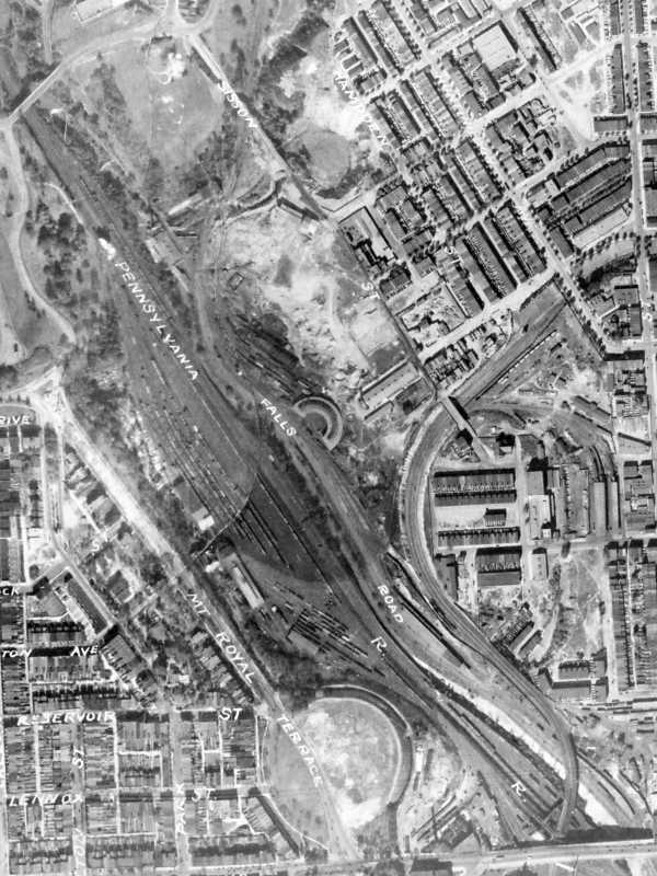
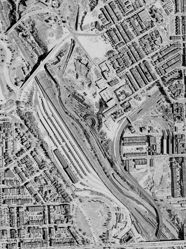
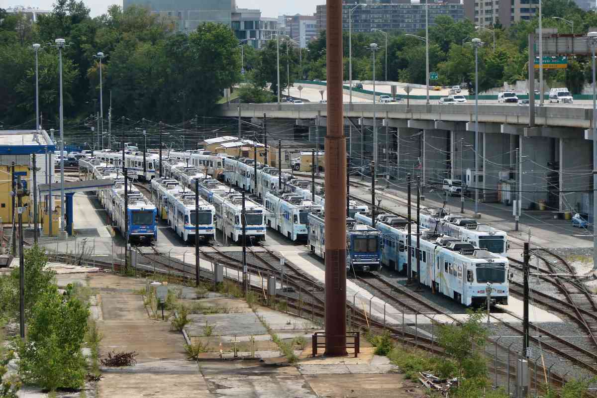
Light rail's shop occupies the site of NC 40-stall roundhouse. North Avenue
is at bottom, while at top Cedar Avenue is now Wyman Park Drive.
Northwest of the roundhouse was a Blacksmith shop and Carpenter shop.
The larger buildings northwest of those are labeled Repair Shops.
Across the Jones Falls are three quarries, from top to bottom: Old,
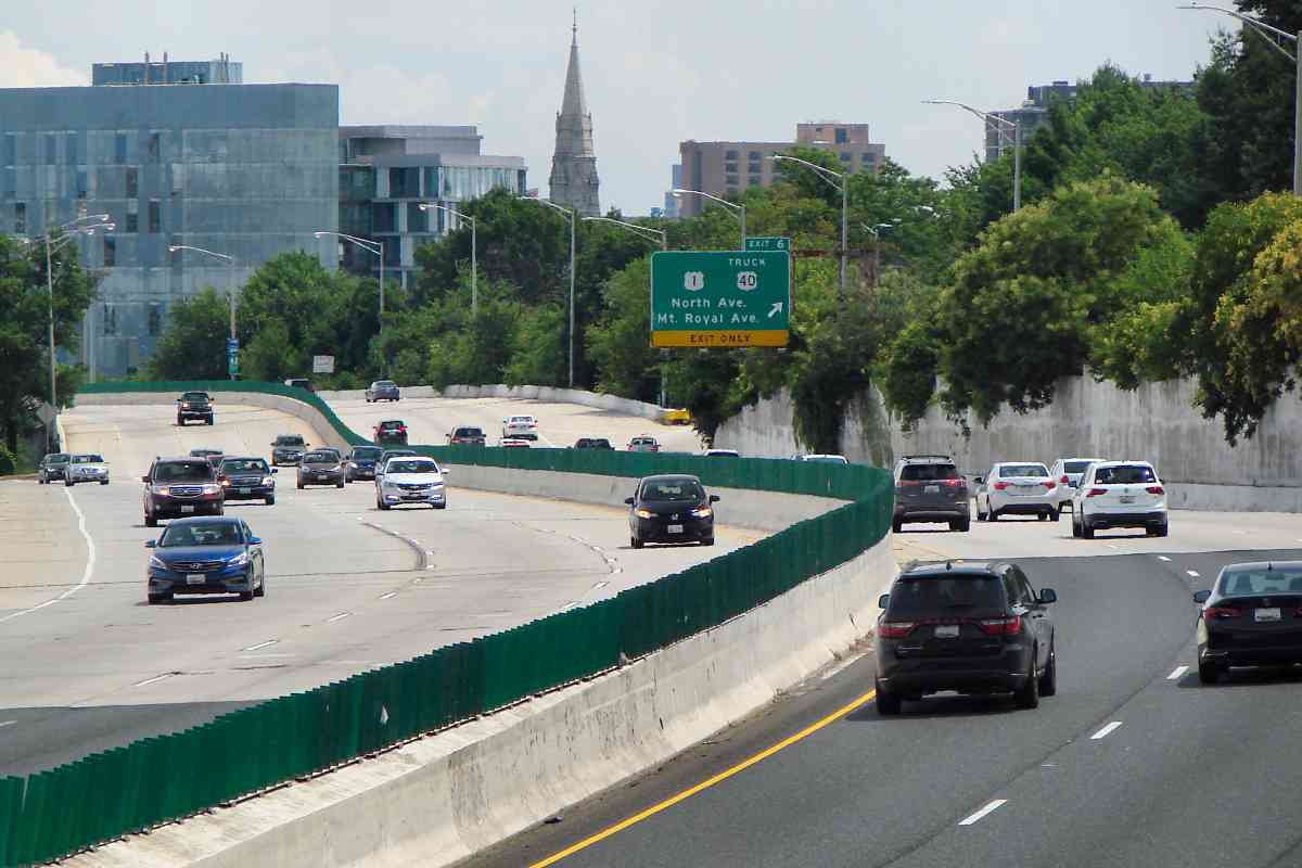
Schwind's, and Atkinson's. Now, westbound 29th Street descends through
Old Quarry as it approaches its bridge across Jones Falls.
Toward bottom right, where now one can find a loop of track adjacent the
Baltimore Streetcar Museum, is a small roundhouse of the narrow-gauge
Baltimore & Lehigh Railroad. The B&L would soon become part of the
standard-gauge Maryland and Pennsylvania Railroad.
|