|
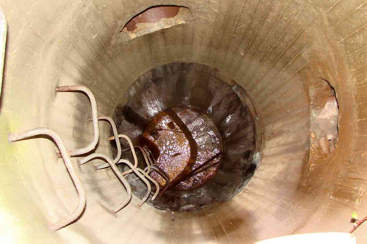
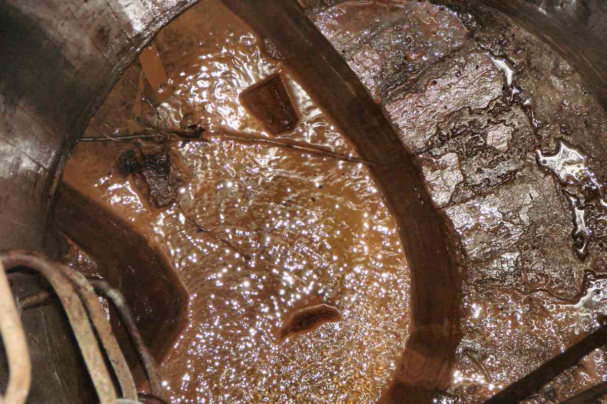
A stone arched structure is about twenty feet down the manhole. Could
that be a bridge remnant?
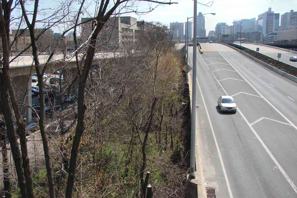
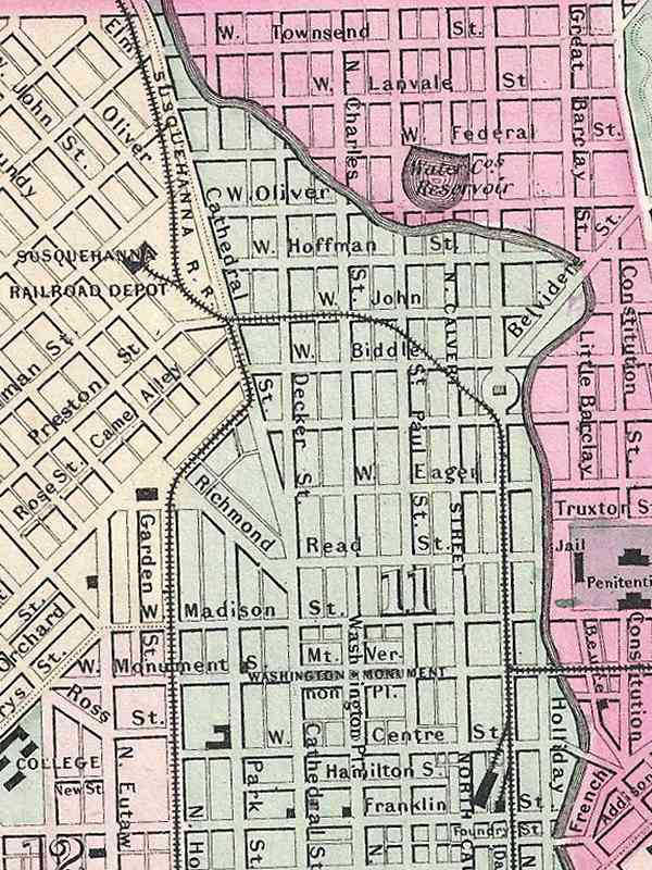
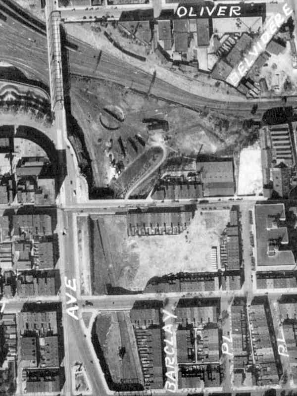
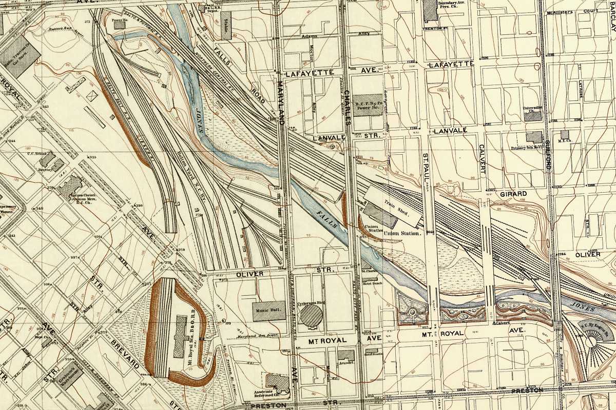
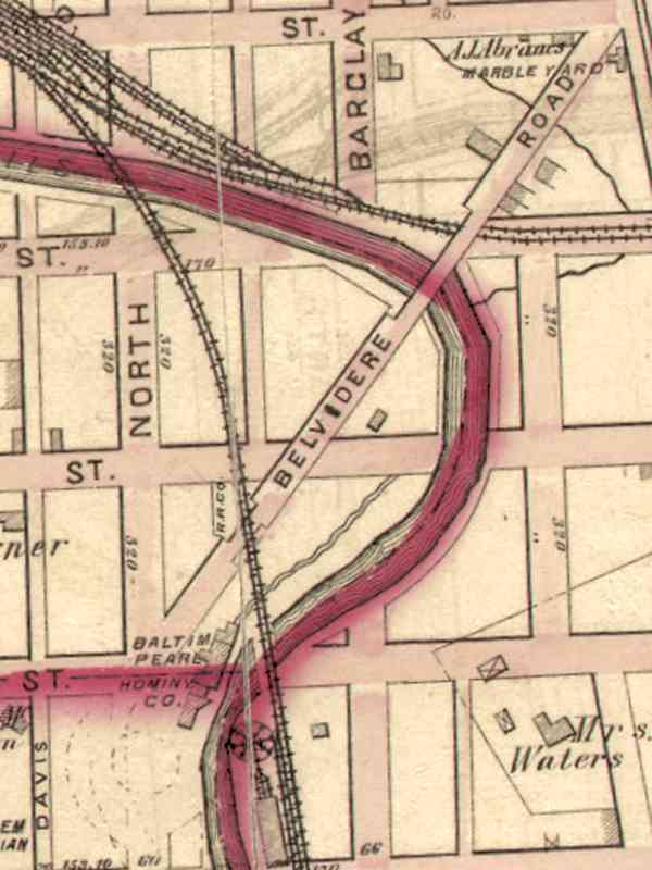
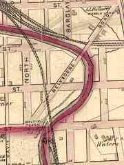 Possibly, but more likely it is something else. An 1876 GM Hopkins map (right)
places this then-future manhole between the west bank of the Jones Falls and the
mill race of the Baltimore Pearl Hominy Company. The street labeled North on
the map is now Guilford Avenue. The mill race was spanned by what could be
counted as NC's sixth bridge in this area.
Possibly, but more likely it is something else. An 1876 GM Hopkins map (right)
places this then-future manhole between the west bank of the Jones Falls and the
mill race of the Baltimore Pearl Hominy Company. The street labeled North on
the map is now Guilford Avenue. The mill race was spanned by what could be
counted as NC's sixth bridge in this area.
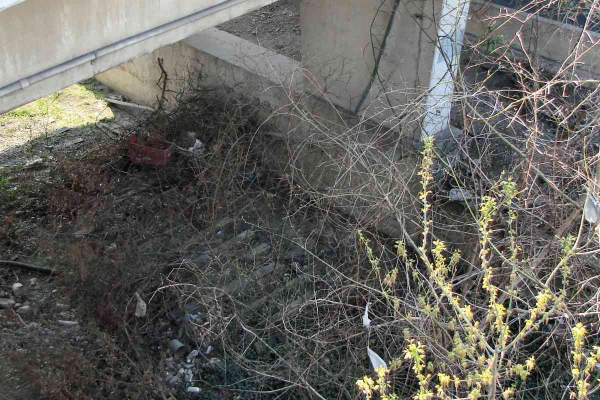
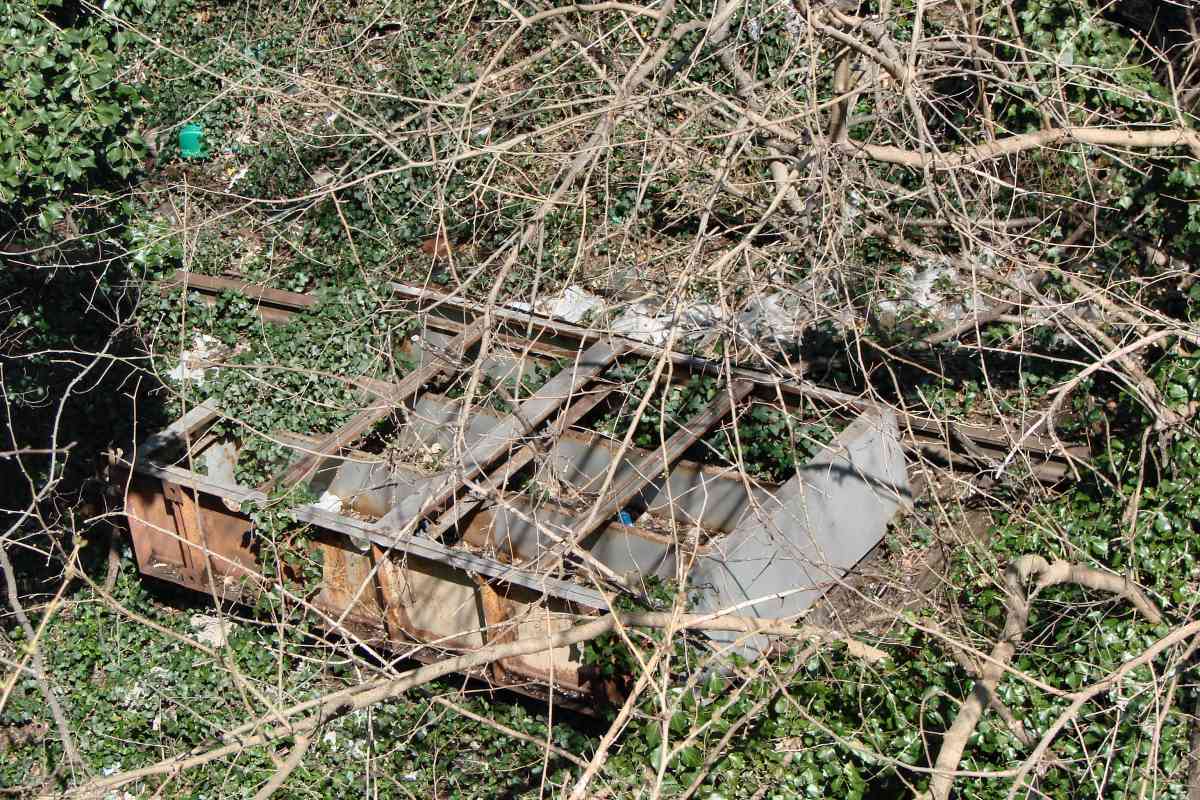
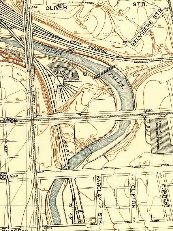
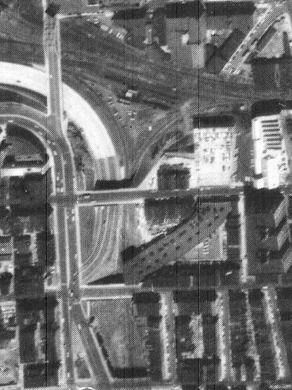
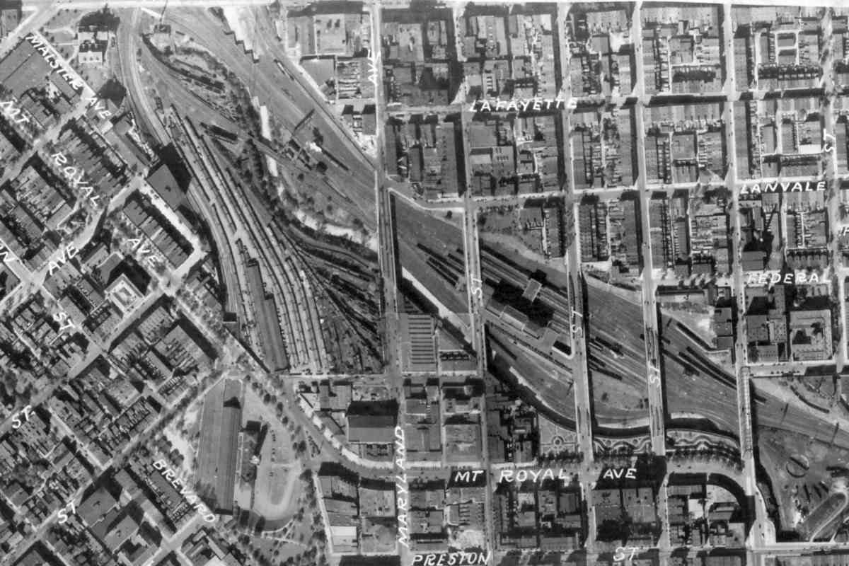
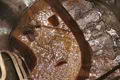 The highly-detailed 1894 city topo map concurs NC had passed over
this spot. Even so, location uncertainty means the arched structure could
be related to the mill, the railroad, or the Falls. Despite the brown water,
there was no sewage odor. What looks to be a narrow water path at the bottom
might even be a channeled creek that feeds into the Falls.
The highly-detailed 1894 city topo map concurs NC had passed over
this spot. Even so, location uncertainty means the arched structure could
be related to the mill, the railroad, or the Falls. Despite the brown water,
there was no sewage odor. What looks to be a narrow water path at the bottom
might even be a channeled creek that feeds into the Falls.
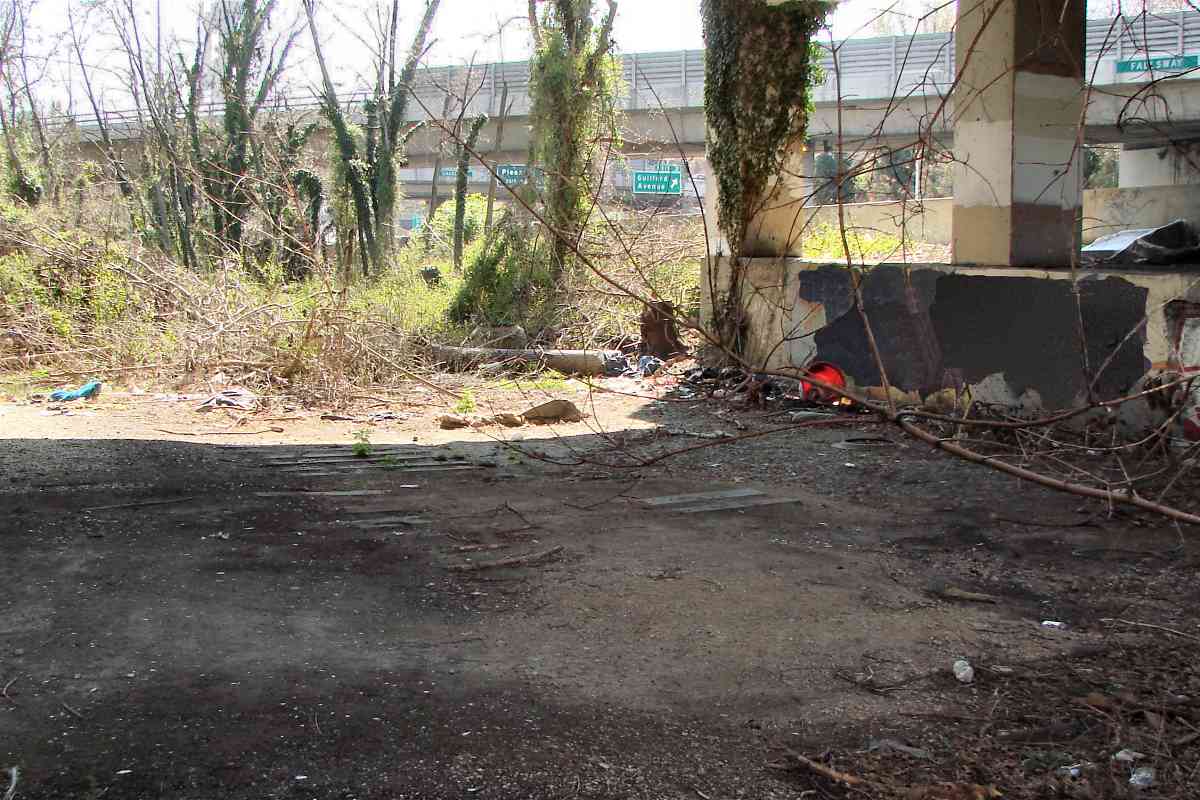
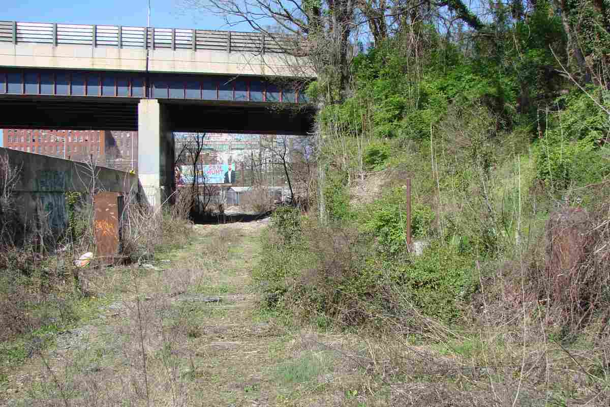
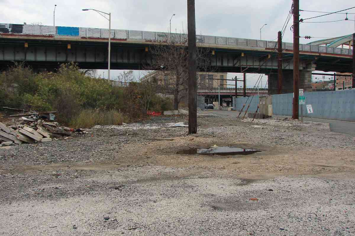
Before you rush to see this yourself, take note this is a dangerous
area for multiple reasons. At last check, this manhole was covered at
ground level by a thin sheet of old plywood that might no longer support
the weight of a person. If you step on it, you could fall through,
and get injured or drown with little hope of anyone noticing your
need for help. I urge you to avoid this area.
Links:
Baltimore Pearl Hominy Company 1876 pamphlet,
Fallsway construction 1914,
Fallsway construction 1914
|