TrainWeb.org Facebook Page
Northern Central Railway Photo Tour


Northern Central Railway
Modern day photo tour

Accompanying each photo below are:

Click a photo to see a larger view. Please send your comments and corrections to Steve.


<< Previous (south) | THIS PAGE: Woodberry to Melvale | Next (north) >>

Clipper Mill
Photo courtesy HH Harwood collection

Clipper Mill
Mile: 3.0 Date: ~1970
Ease: B View: NW
Area: B T6: 243
Map: Ba 34 H 6 Topographic Maps

Clipper Mill tapped the power of the Jones Falls here starting in 1854. Without the VW bus and TV Hill antenna, it would be difficult to date this photo to more than a century later.

The building was recently restored, repurposed, and rechristened Whitehall Mill, its original name. Real estate interests have moved the "Clipper Mill" name north to elsewhere in Woodberry, causing untold confusion for historians.

Link: 1901


Double Steam
Photo courtesy Library of Congress

Double Steam
Mile: 3.0 Date: ~1920
Ease: B View: E
Area: B T6:
Map: Ba 34 H 6 Topographic Maps

A double head of steam lugs mixed freight uphill past Clipper Mill. The grade continued uphill to a local peak at Timonium. Visually below the chimney appears to be a milepost, with a digit of 2 or 3. This location is 2 track miles from Penn Station, and 3 from Calvert Street Station.


With Light Rail
Photo credit HH Harwood

With Light Rail
Mile: 3.0 Date: Apr 1992
Ease: B View: E
Area: B T6:
Map: Ba 34 H 6 Topographic Maps

Harwood replicated the scene many decades later. He deserves extra thanks for contributing not only photos to this tour, but also his knowledge of area history.

The first mill at this site opened during the 1700s.

Link: Clipper Mill history


Under I-83

Under I-83
Mile: 3.1 Date: Dec 2019
Ease: A- View: W
Area: B- T6:
Map: Ba 34 H 6 Topographic Maps

Before reaching Woodberry, the NC alignment and I-83/JFX switch sides. The road will remain near and east of the railroad for the remainder of their run within Baltimore City.


Woodberry
Photo credit HH Harwood

Woodberry
Mile: 3.4 Date: 1990s
Ease: B+ View: N
Area: B T6:
Map: Ba 34 H 5 Topographic Maps

During light rail's single-track era, many -- but not all -- stations were double-tracked, such as Woodberry's where MTA 5002 is about to stop. On the right is Meadow Mill which was built during 1877.

Link: 1969


MTA 5034

MTA 5034
Mile: 3.5 Date: Dec 2019
Ease: A View: S
Area: B T6:
Map: Ba 34 H 5 Topographic Maps

Since the time of the prior photo, mill buildings have been converted into condos and hip restaurants, but the Woodberry light rail station looks much the same.

Link: condos


CR 8260
Photo credit HH Harwood

CR 8260
Mile: 3.5 Date: ~1990
Ease: A- View: SE
Area: B T6:
Map: Ba 34 H 5 Topographic Maps

With freight traffic on the line dwindling, and light rail installation soon to commence, Harwood captured Conrail 8260 about to cross Union Avenue.

Link: 1985


Meadow Mill

Meadow Mill
Mile: 3.5 Date: Dec 2019
Ease: A View: SE
Area: B T6:
Map: Ba 34 H 5 Topographic Maps

This is a similar view from some 30 years later.


Juxtaposition
Photo credit HH Harwood

Juxtaposition
Mile: 3.5 Date: ~2000
Ease: A- View: SE
Area: B T6:
Map: Ba 34 H 5 Topographic Maps

Old mill, new train.

Link: Woodberry's 1906 pandemic


Xing

Xing
Mile: 3.5 Date: Dec 2019
Ease: A View: NW
Area: B T6:
Map: Ba 34 H 5 Topographic Maps

Old train, new livery. It's the same Union Avenue grade crossing, but looking the opposite direction as the prior photo. And, it's the same MTA 5034 as seen in the prior photo, but here it's wearing a newer paint scheme.

The tall, brick building behind the train was part of the Poole & Hunt iron mill.


Custom Signage
NEW! late-May 2023

Custom Signage
Mile: 3.5 Date: Jsn 2023
Ease: A View: W
Area: B T6:
Map: Ba 34 H 5 Topographic Maps

Jan 2023 At the grade crossing, custom signage alerts pedestrians to approaching trains.


Poole & Hunt
Photo courtesy owner Baltimore County Public Library
Updated late-May 2023

Poole & Hunt
Mile: 3.5 Date: ~1915
Ease: B View: NW
Area: B T6: 244
Map: Ba 34 H 5 Topographic Maps

arch Jan 2023 In this view from Meadow Mill, Poole & Hunt's tall brick building is at right. NC's Woodberry Station is at lower left where light rail's station now resides. The stone arch bridge at lower right remains extant; views of it like that at right are possible only during non-leaf season.

Links: Poole & Hunt history, similar, higher res photo, ~1930


Xings

Xings
Mile: 3.5 Date: Dec 2019
Ease: A View: N
Area: B T6:
Map: Ba 34 H 5 Topographic Maps

The next grade crossing leads to various old mill buildings in varying stages of repurposing. The tallest stack is a relic from the Schenuit Rubber factory that departed Woodberry during the 1960s. Prior to Schenuit, it was the site of Woodberry Factory that made textiles, and before that milled flour. When the building was torn down during 2021, it exposed stone walls behind the brick.

In 1855, Park Mill's netting factory began operation in the nearest building on the right.

Link: Woodberry Factory history


Siding
Updated late-May 2023

Siding
Mile: 3.6 Date: Nov 2019
Ease: A View: SE
Area: B- T6:
Map: Ba 34 H 5 Topographic Maps

Jan 2023 A disconnected NC siding, with check rail, remains stuck in the pavement between light rail and the old factories. Much to the chagrin of William Blake, these tracks brought chariots of fire to Woodberry's dark satanic mills. Now, they lead to drop bins repurposed into automobile parking.

Links: Woodberry history, dark satanic mills


Aerial 1953
Photo courtesy Johns Hopkins University

Aerial 1953
Mile: Date: Feb 1953
Ease: View: N (up)
Area: T6:
Map: Ba 34 H 5 Topographic Maps

The resolution of this 1953 aerial is insufficient to see that siding, but it shows an entirely different rail siding, more a spur, to the large factory buildings on the east side of Jones Falls. Note rail cars curling adjacent on the north side of the large buildings at photo-right.

Within ten years that spur would be overshadowed by I-83/JFX. The 41st Street bridge cuts across the top half of the photo. The next tour page will resume on the north side of that bridge.


Map 1877
Image courtesy Johns Hopkins University

Map 1877
Mile: Date: 1877
Ease: View: N (up)
Area: T6:
Map: Ba 34 G 2 Topographic Maps

This tour page follows the former Northern Central Railway route northward from near Woodberry. The proposed narrow gauge line the map shows paralleling at right was the Baltimore & Lehigh that later merged to form the Maryland & Pennsylvania Railroad (Ma&Pa).


Survey 1894
Image courtesy Johns Hopkins University

Survey 1894
Mile: Date: 1894
Ease: View: N (up)
Area: T6:
Map: Ba 34 G 4 Topographic Maps

Baltimore City's northern boundary from 1888 to 1918 existed just north of Woodberry, as depicted on this 1894 city topographical survey map. This is roughly where present-day 43rd Street is found. Forty-three is the highest street number in the area because it was upon the 1888 city expansion that planners applied numbers to streets within the city's new northern reach.

Here at Bend Hill, NC crosses to the east bank of the Jones Falls only to return to the west bank less than a mile north. This realignment straightened the original one of the Baltimore & Susquehanna Railroad that had clung to the west bank.

Exactly where was that original B&S alignment? Note the more-widely-spaced elevation lines on the west (left) side of the river. That's where the B&S had created a flat shelf for their tracks.

Within the bottom half of the map, the thin line of water represents a millrace for one of Woodberry's mills.


Millrace

Millrace
Mile: 4.0 Date: Nov 2019
Ease: B View: S
Area: B T6:
Map: Ba 34 G 4 Topographic Maps

The millrace seen near "2318" on the topo survey above still exists, albeit in disused form, now marked by this drop off sign. Light rail's "mile 4" sign matches the location of NC's milepost 4.


Jones Falls Bridge

Jones Falls Bridge
Mile: 4.0 Date: Nov 2019
Ease: B View: NW
Area: B T6:
Map: Ba 34 G 4 Topographic Maps

bridge The main girders and stone supports are of NC construction, while the bright masonry exhibits light rail's refurbishment.

The year the B&S/NC realigned to this location is uncertain, but is suspected to be when the railroad was doing other work in the region. That puts it at 1838, or perhaps the 1870s.


Aerial 1927
Photo courtesy Johns Hopkins University

Aerial 1927
Mile: 4.1 (center) Date: 1926/1927
Ease: View: N (up)
Area: T6:
Map: Ba 34 G 3 Topographic Maps

The oldest aerial photo of the area shows shadows in Woodberry Quarry as it eats into the north face of Malden Hill (later renamed TV Hill). After World War II, a landfill would refill what the quarriers had excavated.


Original Alignment

Original Alignment
Mile: 4.0 Date: Dec 2019
Ease: B+ View: S
Area: B T6:
Map: Ba 34 G 4 Topographic Maps

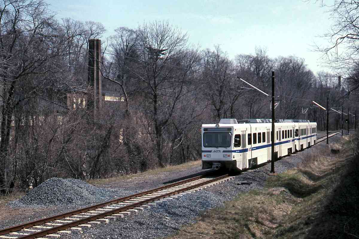
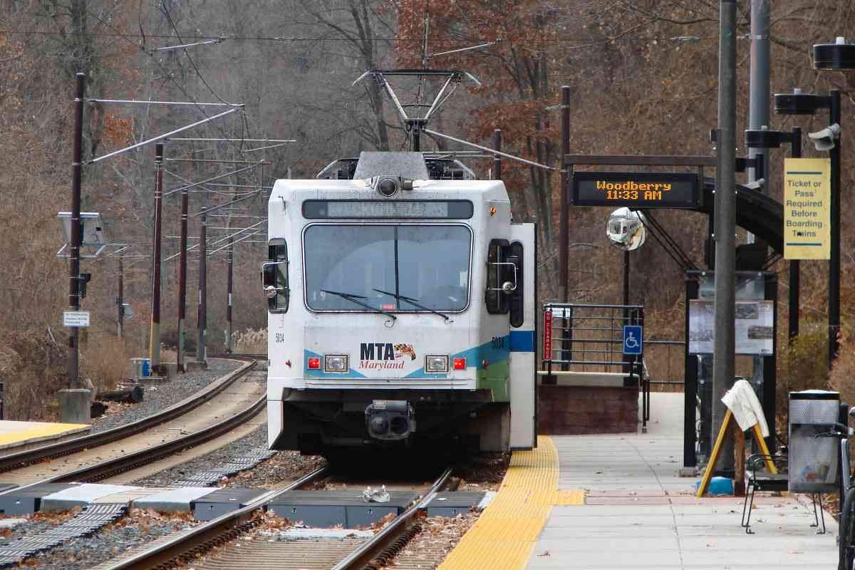
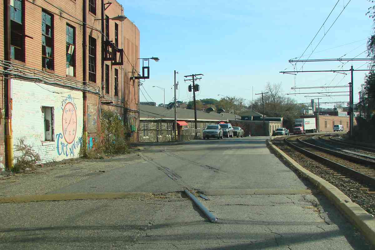
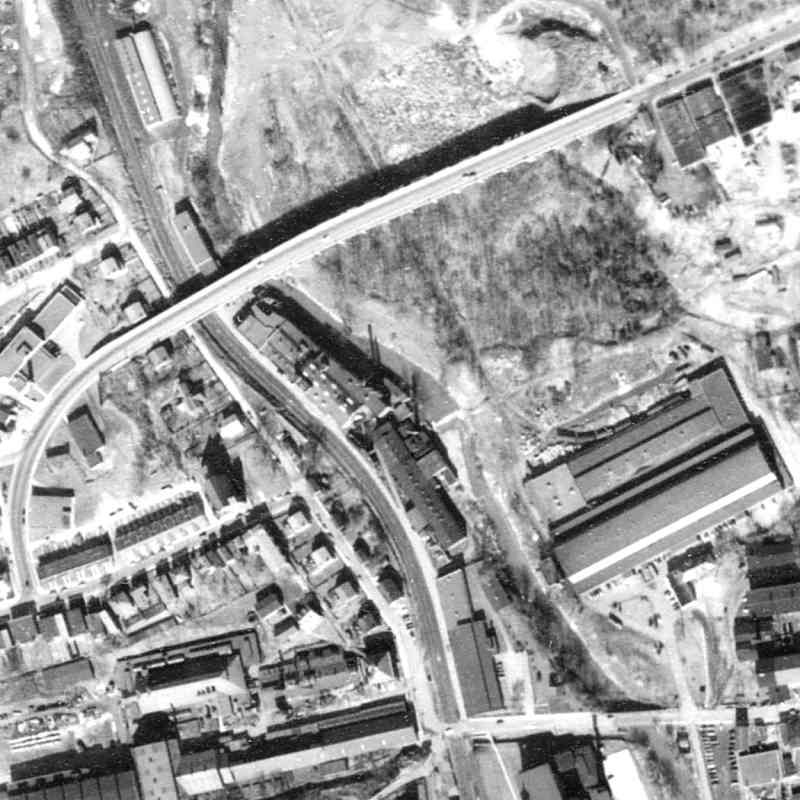
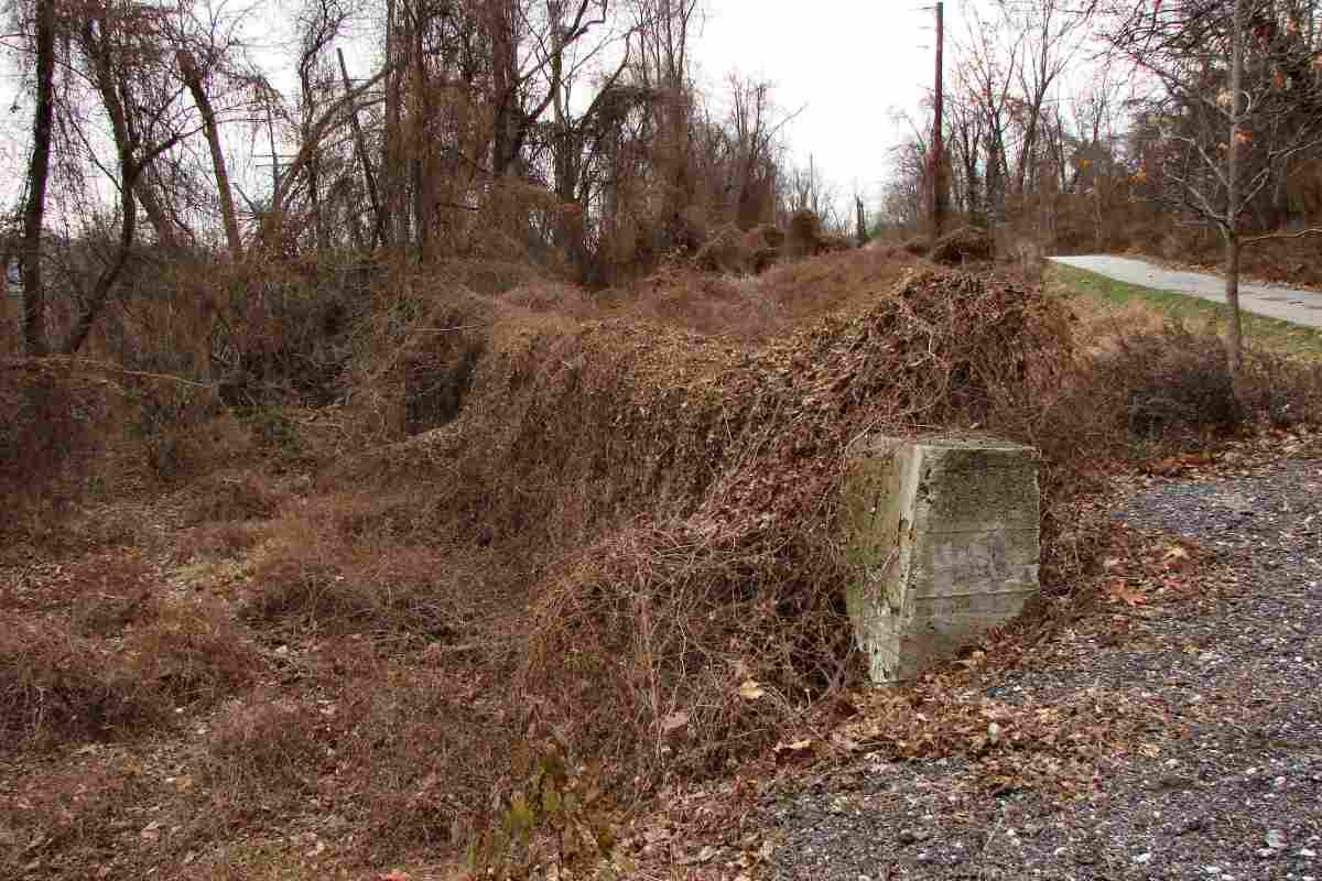
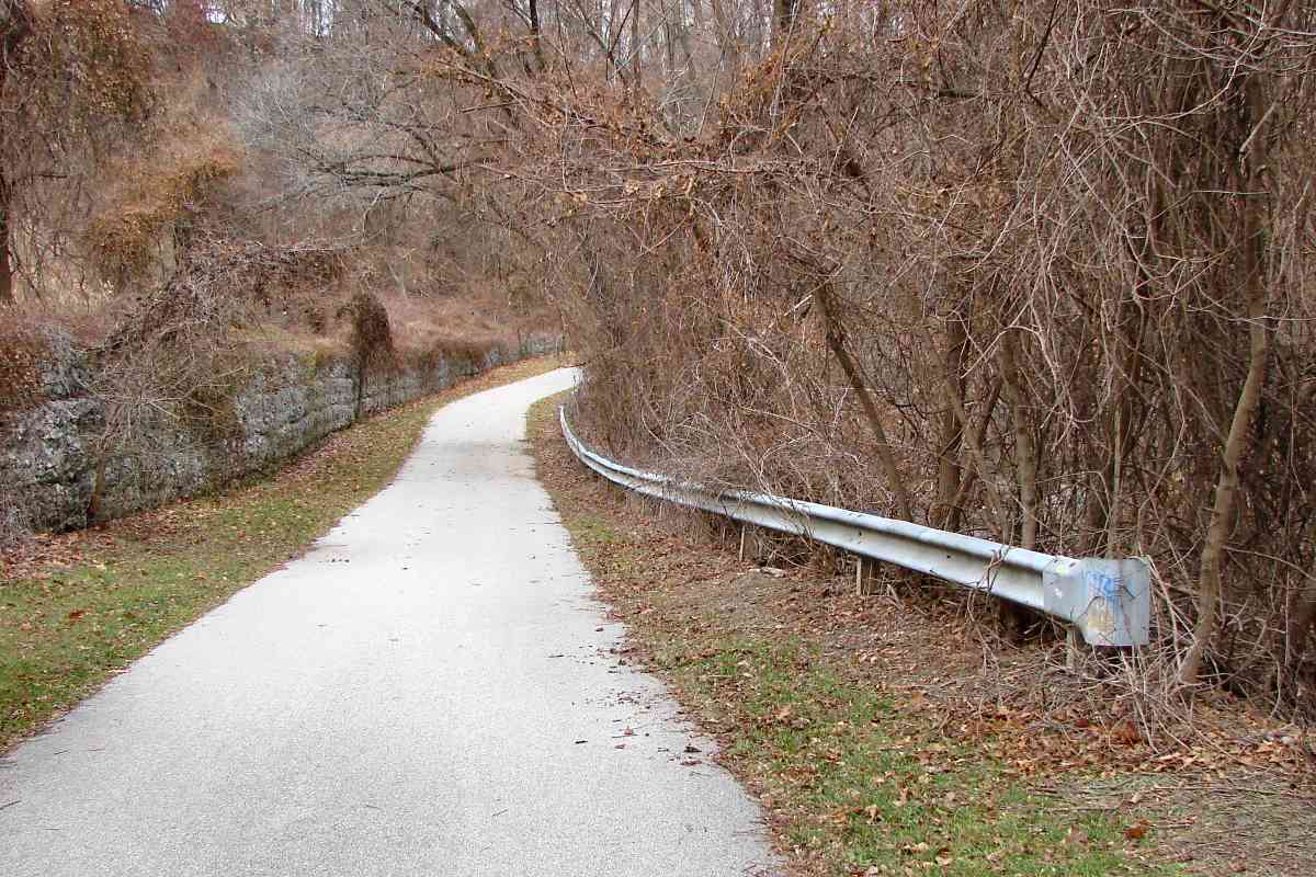
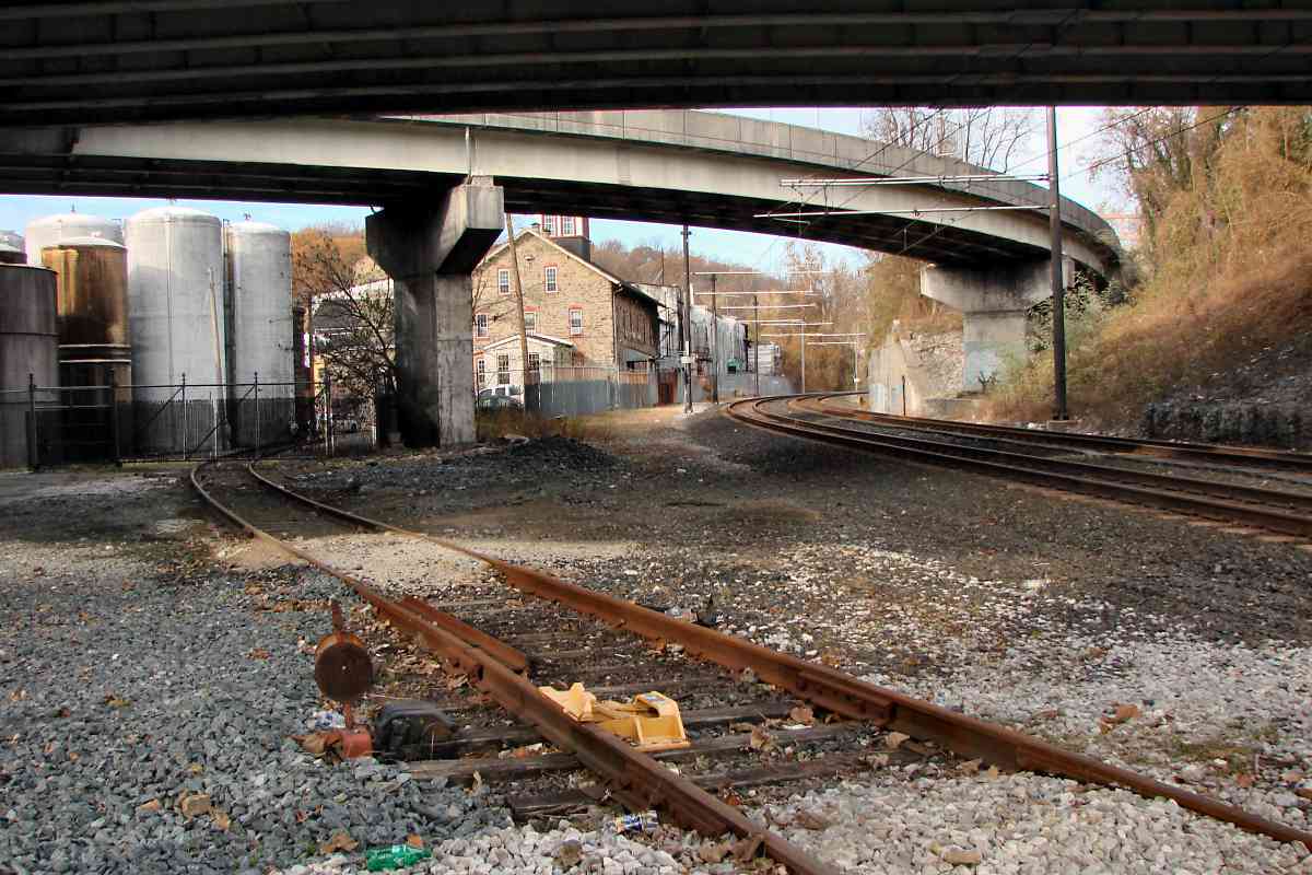
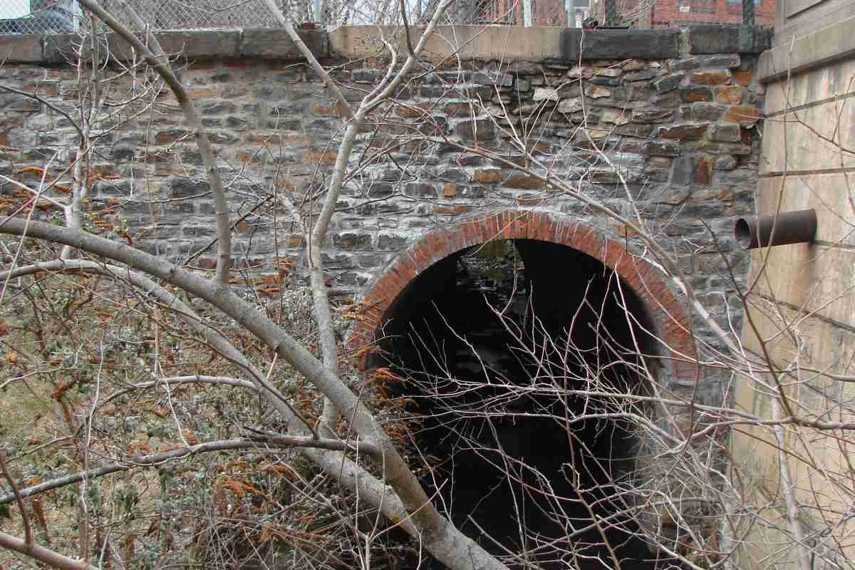
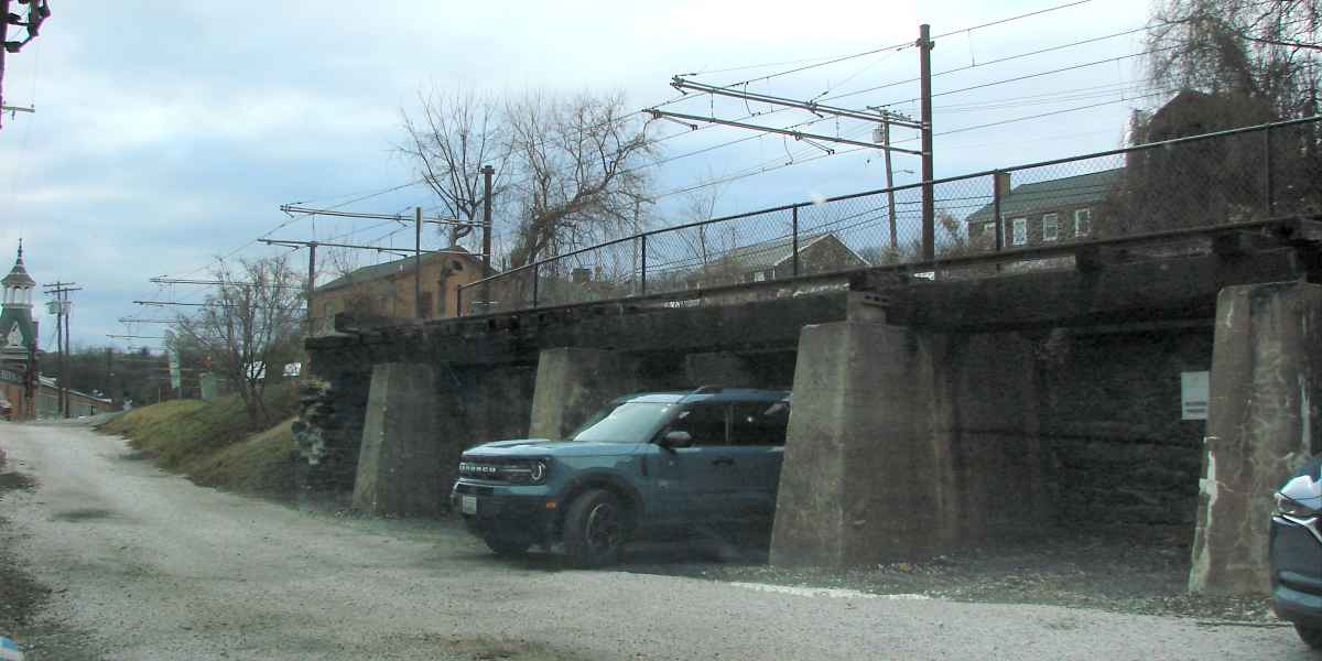
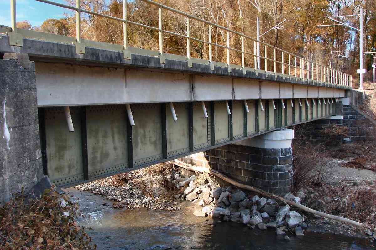
With the disused millrace behind the photographer, this reverse-to-tour-direction TV Hill antenna view from the area of the original B&S alignment finds a retaining wall. Its construction appears too modern to be of B&S origin, so likely was related to an access road to/from Woodberry Quarry. Even so, it retraces the curve B&S trains previously did, as does the paved path on the right which is part of Jones Falls Trail.

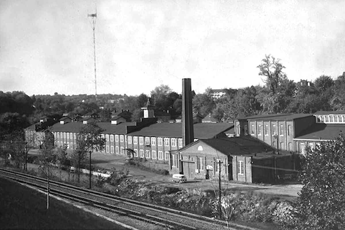
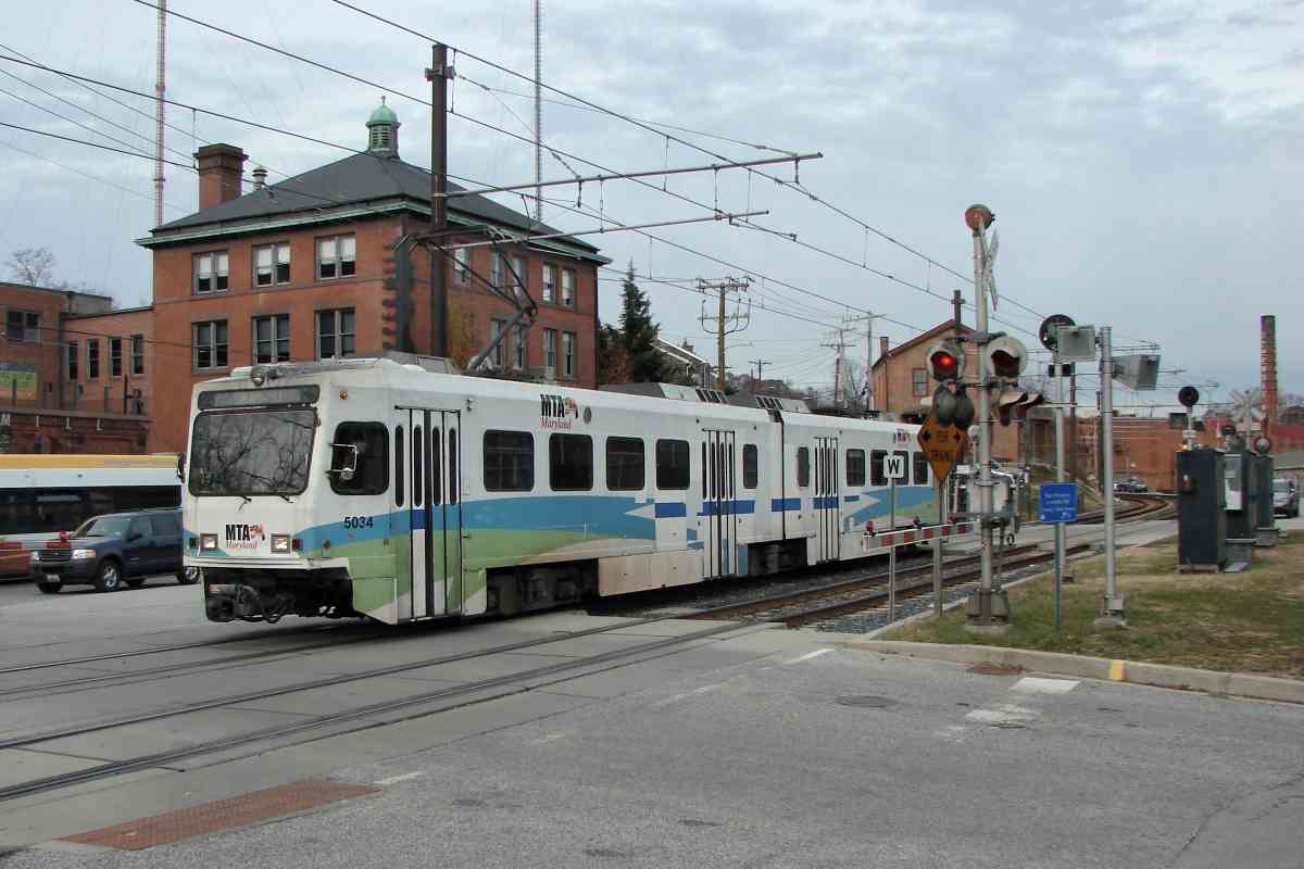
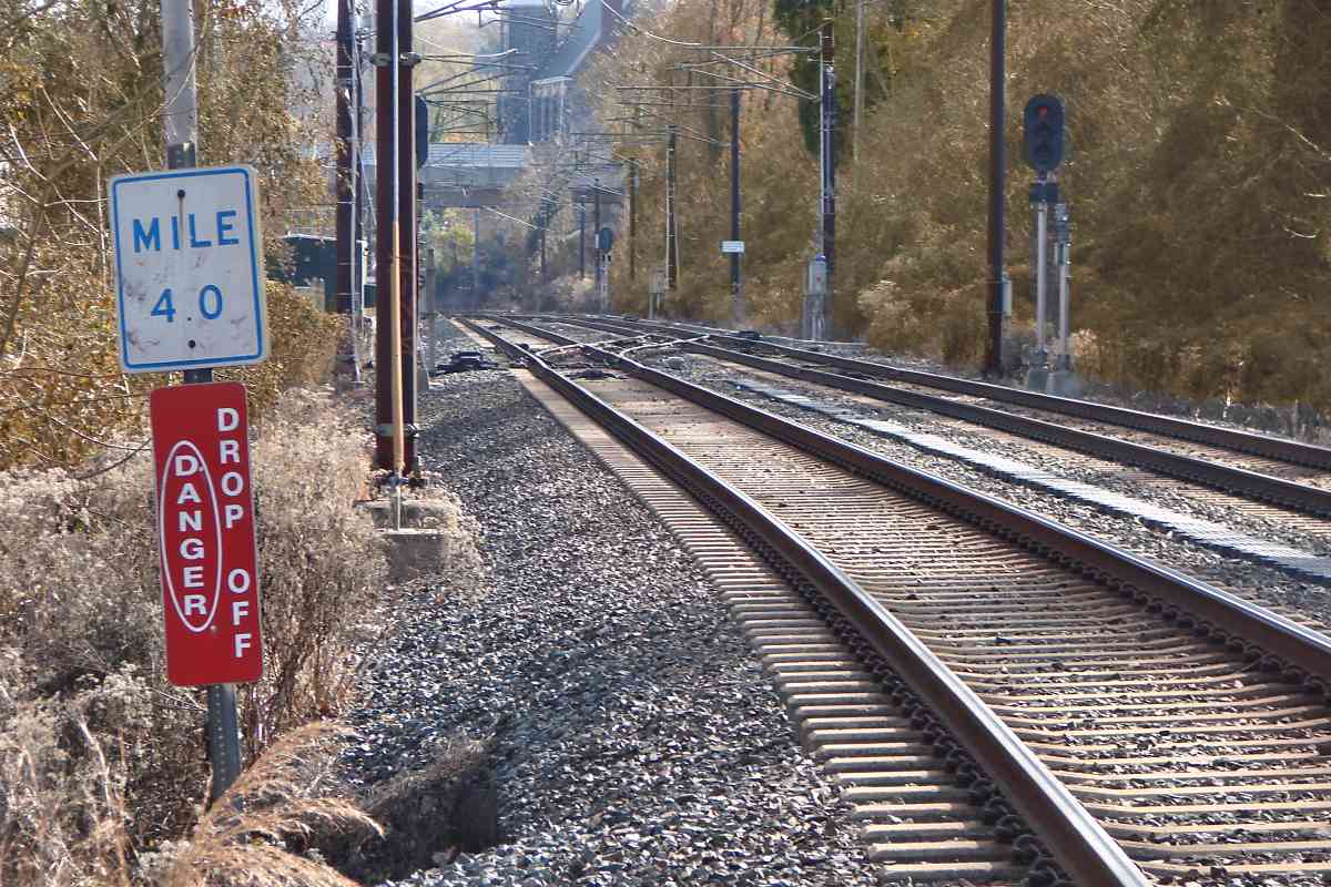
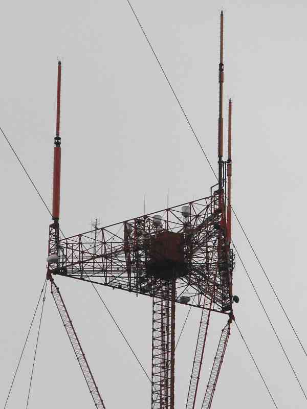
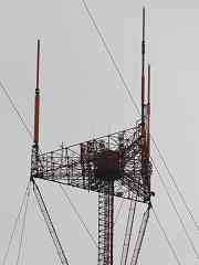
Off photo-right stands the candelabra broadcasting tower shared by several Baltimore television stations. To keep in shape, age-defying WJZ-TV weatherman Bob Turk climbed the roughly 1000-foot tower daily to check the rain gauges. (No, not really.) Bob retired in 2022 after almost 50 years at WJZ, a duration in television accomplished by few.

Links: TV Hill history, scale model of antenna, Bob Turk


Jones Falls Trail

Jones Falls Trail
Mile: 4.1 Date: Dec 2019
Ease: B View: NW
Area: B T6:
Map: Ba 34 G 4 Topographic Maps

The city-standard guardrail at right suggests the landfill's access road had been a city street at some time. The quarry was on the left. The pavement of the Jones Falls Trail is not as level as a railroad would need, but decades of quarry and landfill trucks likely pounded the old B&S alignment into a new grading after Jones Falls stormwater had eroded the route.


Cold Spring Lane
Photo courtesy Baltimore Sun

Cold Spring Lane
Mile: 4.2 Date: 1958
Ease: View: N
Area: T6:
Map: Ba 34 G 3 Topographic Maps

North of TV Hill, the B&S's original alignment can be identified by the treeless mound of land between the Melvale gas holder and NC. The JFX had not yet been built.

The Melvale gas holder, easily seen from I-83/JFX, dated to 1933. It was last of its kind in the region when demolished during 2013.

Before the 1930s, Cold Spring Lane meandered down into the valley where it met NC at grade. When the JFX arrived here about 1962, the bridge in the photo was rebuilt into wider form, then refurbished in 1991.

Links: source photo, gas tank removal


Station

Station
Mile: 4.5 Date: Nov 2019
Ease: B View: S
Area: B- T6:
Map: Ba 34 G 3 Topographic Maps

Light rail's Cold Spring Lane station squeezes into a small triangle of land between I-83 and the Jones Falls, just south of where NC's Melvale Station had been.

A roadway speed limit sign has been put to use to slow light rail trains, such as the recently-overhauled MTA 5029.


Melvale 1915
Image courtesy Johns Hopkins University

Melvale 1915
Mile: 4.5 Date: 1915
Ease: View: N (up)
Area: T6:
Map: Ba 34 G 3 Topographic Maps

The first mill at what had been called Melville dates to 1806. Around 1870 it converted from a saw mill to a distillery. Upon Prohibition, the disillery converted from spirits to vinegar production, a capacity in which it continues to function under the name Fleischmanns. At times the smell of vingar has been so strong that passing motorists began to think the Melvale gas holder was instead a vinegar tank. The only vinegar-related tank often seen was one parked by Norfolk Southern on the siding below.

Link: distillery history


Derail

Derail
Mile: 4.5 Date: Nov 2019
Ease: B View: N
Area: B- T6: 243
Map: Ba 34 G 3 Topographic Maps

The mill's stone buildings seen here were built around 1870.

NC's two-story Melvale Station, formerly located at photo center, succumbed to fire during 1926 and was not rebuilt.


CR 8266
Photo credit HH Harwood

CR 8266
Mile: 4.5 Date: ~1990
Ease: B View: N
Area: B- T6:
Map: Ba 34 G 3 Topographic Maps

For a short period during the first decade of the 1900s, Melvale's distillery produced more whiskey than any other in Maryland. The distillery is on the east bank of the Jones Falls, which is perhaps one reason the railroad relocated its line from the west bank. The label of Melvale Pure Rye depicted both the factory and railroad.

Just beyond the bend ahead, the track bridges back to the river's west bank. During the Civil War, the Union formed Camp Small in this vicinity in order to guard this bridge as well as its sibling back near Woodberry.

Link: Melvale whiskey


MTA 5030

MTA 5030
Mile: 4.5 Date: Nov 2019
Ease: B View: N
Area: B- T6:
Map: Ba 34 G 3 Topographic Maps

Prior to the Cold Spring Lane bridge, Melvale Avenue crossed at grade on this side of the stone building. Curving over MTA 5030 is a ramp from southbound I-83 to westbound Cold Spring Lane.


<< Previous (south) | THIS PAGE: Woodberry to Melvale | Next (north) >>

Or, return to main page

Copyright Notice