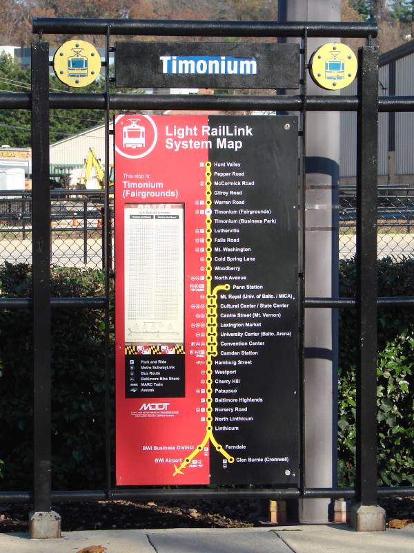
|
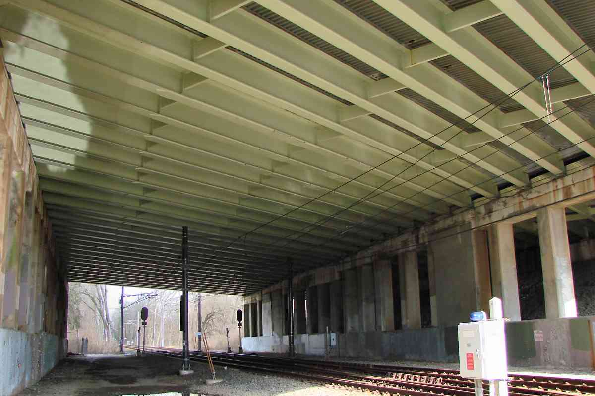
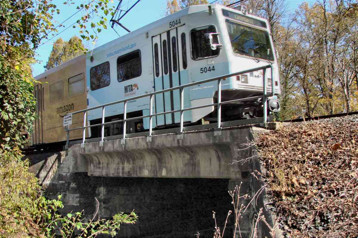
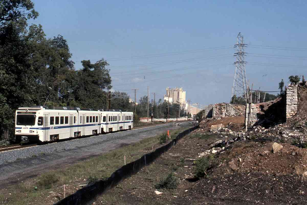
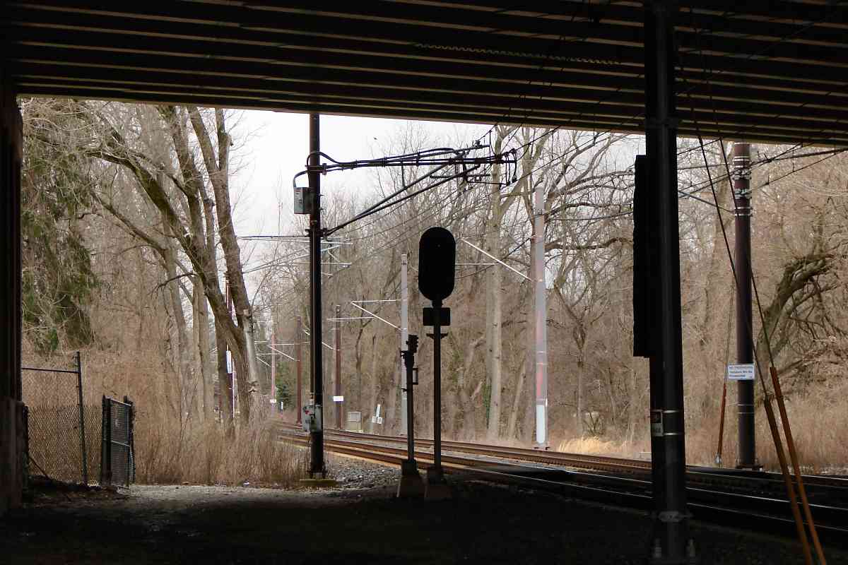
 Just east of I-83, five Beltway lanes first bridged over NC during
the mid-1950s upon the opening of the stretch from Joppa Road to
Dulaney Valley Road. Light rail's wiring is able to squeeze under the
road, and must be carefully negotiated when the steel beams need
repainting.
Just east of I-83, five Beltway lanes first bridged over NC during
the mid-1950s upon the opening of the stretch from Joppa Road to
Dulaney Valley Road. Light rail's wiring is able to squeeze under the
road, and must be carefully negotiated when the steel beams need
repainting.
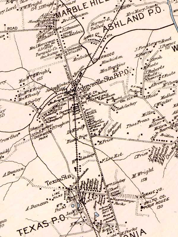
A modification to the I-83 interchange arund 1980 doubled those
Beltway lanes to 10, plus 5 lanes of median and shoulder. The
15 total contiguous lanes make for a single 225-foot wide bridge,
the widest in the Baltimore-Washington region.
As a challenge, with Google Earth or similar, try to find an even wider
contiguous-lanes bridge in one of the east coast states. There aren't
many, but by applying logic they can be found fairly easily. Hint:
check the New Jersey Turnpike near New York City.
|