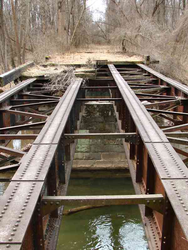
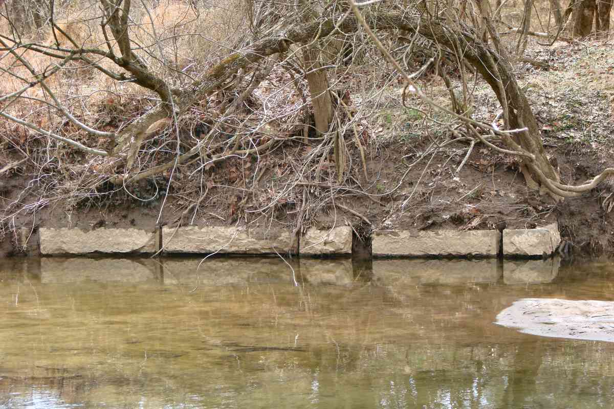
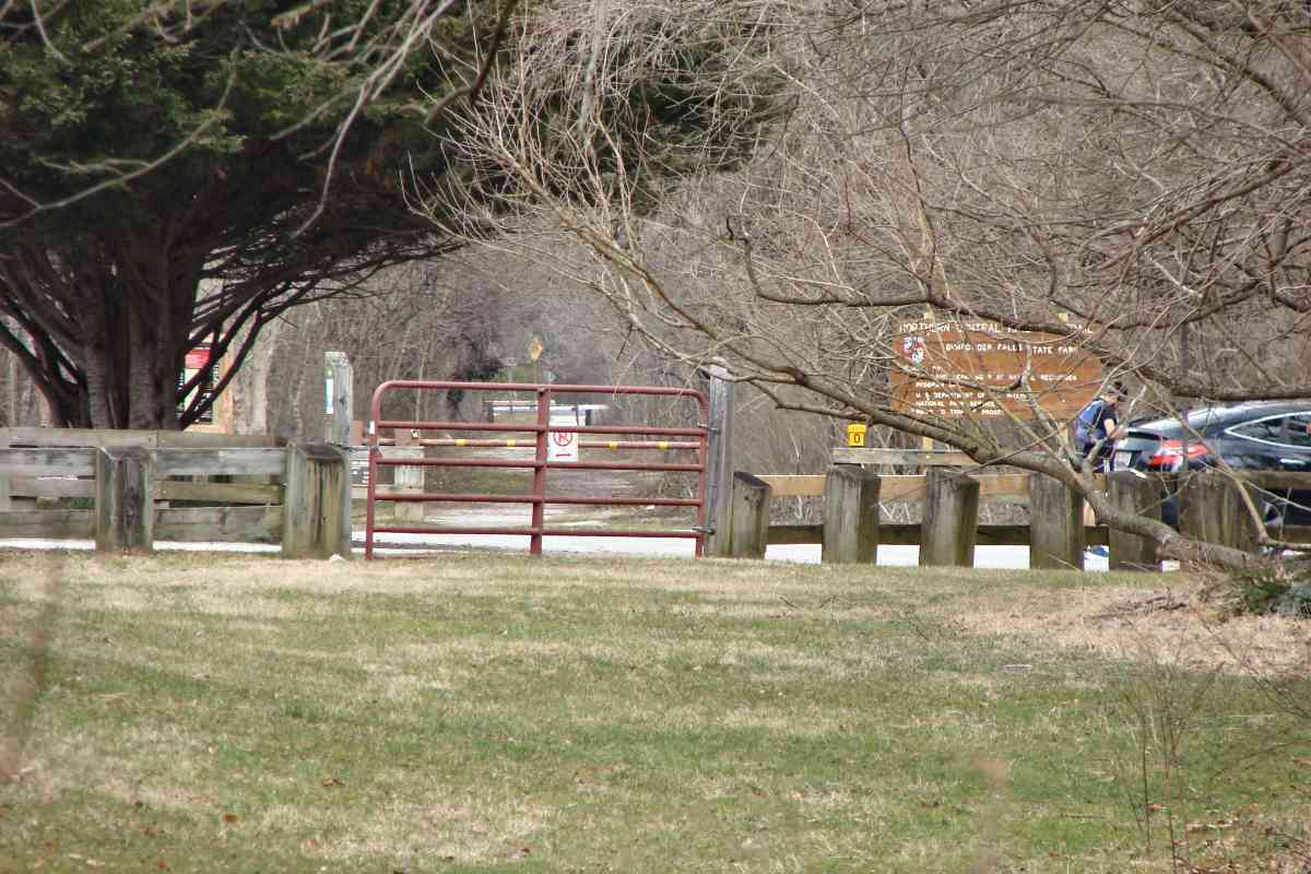
Click a photo to see a larger view. Please send your comments and corrections to Steve.
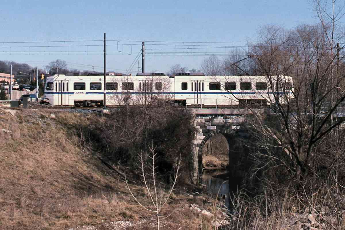
Photo credit HH Harwood |
| |||||||||||
| ||||||||||||
|
| |||||||||||
| ||||||||||||

|
| |||||||||||
| ||||||||||||
|
| |||||||||||
| ||||||||||||
|
| |||||||||||
| ||||||||||||
Photo courtesy Johns Hopkins University |
| |||||||||||
| ||||||||||||
Photo courtesy Johns Hopkins University |
| |||||||||||
| ||||||||||||
|
| |||||||||||
| ||||||||||||
|
| |||||||||||
| ||||||||||||

|
| |||||||||||
| ||||||||||||
|
| |||||||||||
| ||||||||||||
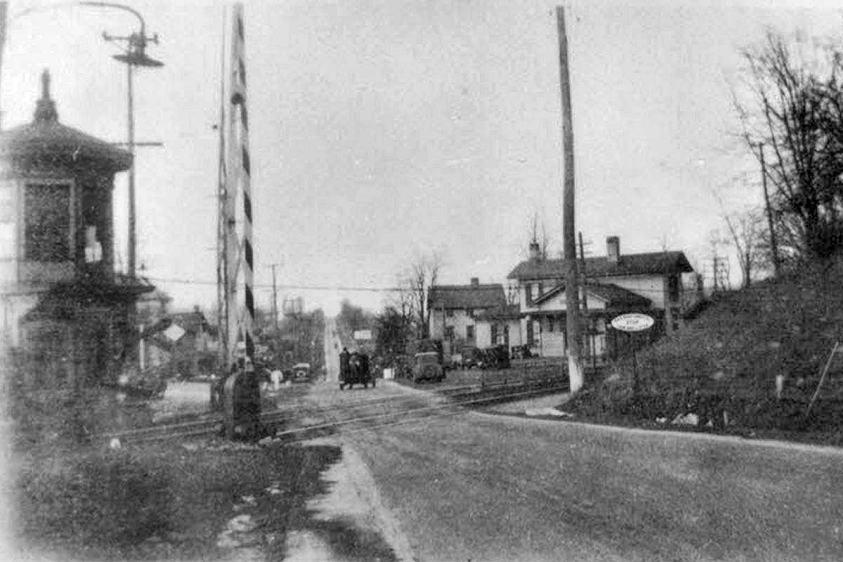
Photo courtesy Todd Sestero collection |
| |||||||||||
| ||||||||||||
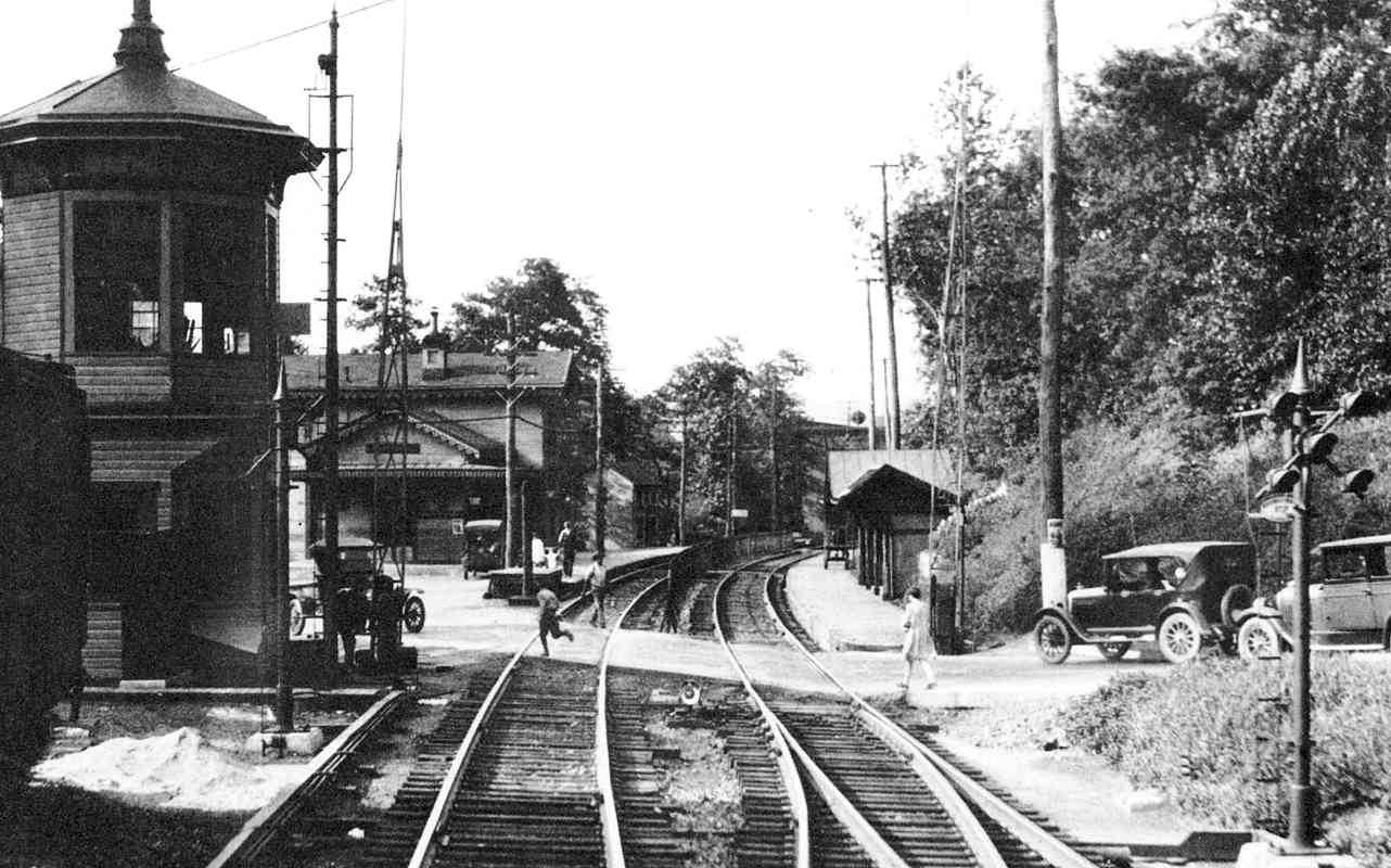
Photo courtesy FA Wrabel collection |
| |||||||||||
| ||||||||||||
|
| |||||||||||
| ||||||||||||
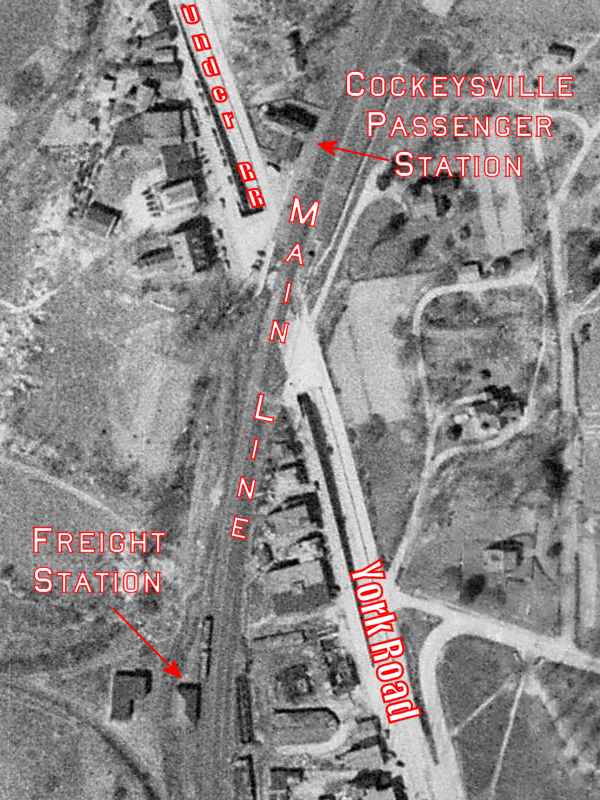
Photo courtesy Johns Hopkins University |
| |||||||||||
| ||||||||||||
Photo courtesy Johns Hopkins University |
| |||||||||||
| ||||||||||||
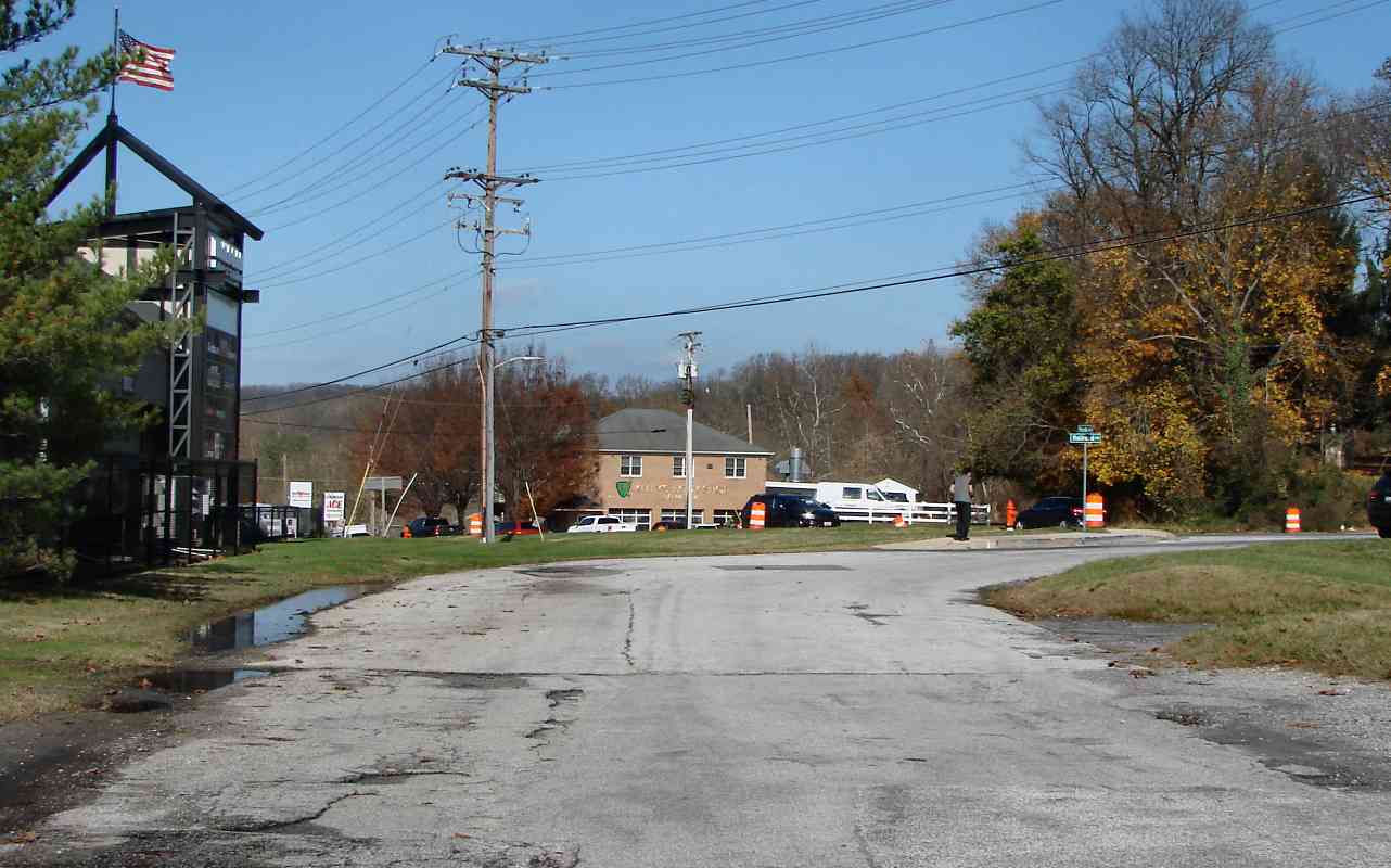
Photo credit Todd Sestero |
| |||||||||||
| ||||||||||||
Photo credit HH Harwood |
| |||||||||||
| ||||||||||||
|
| |||||||||||
| ||||||||||||
|
| |||||||||||
| ||||||||||||
Photo courtesy Johns Hopkins University |
| |||||||||||
| ||||||||||||
Photo courtesy Johns Hopkins University |
| |||||||||||
| ||||||||||||
|
| |||||||||||
| ||||||||||||
|
| |||||||||||
| ||||||||||||
|
| |||||||||||
| ||||||||||||
|
| |||||||||||
| ||||||||||||
|
| |||||||||||
| ||||||||||||
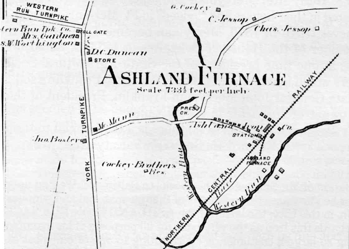
Image courtesy HH Harwood collection |
| |||||||||||
| ||||||||||||
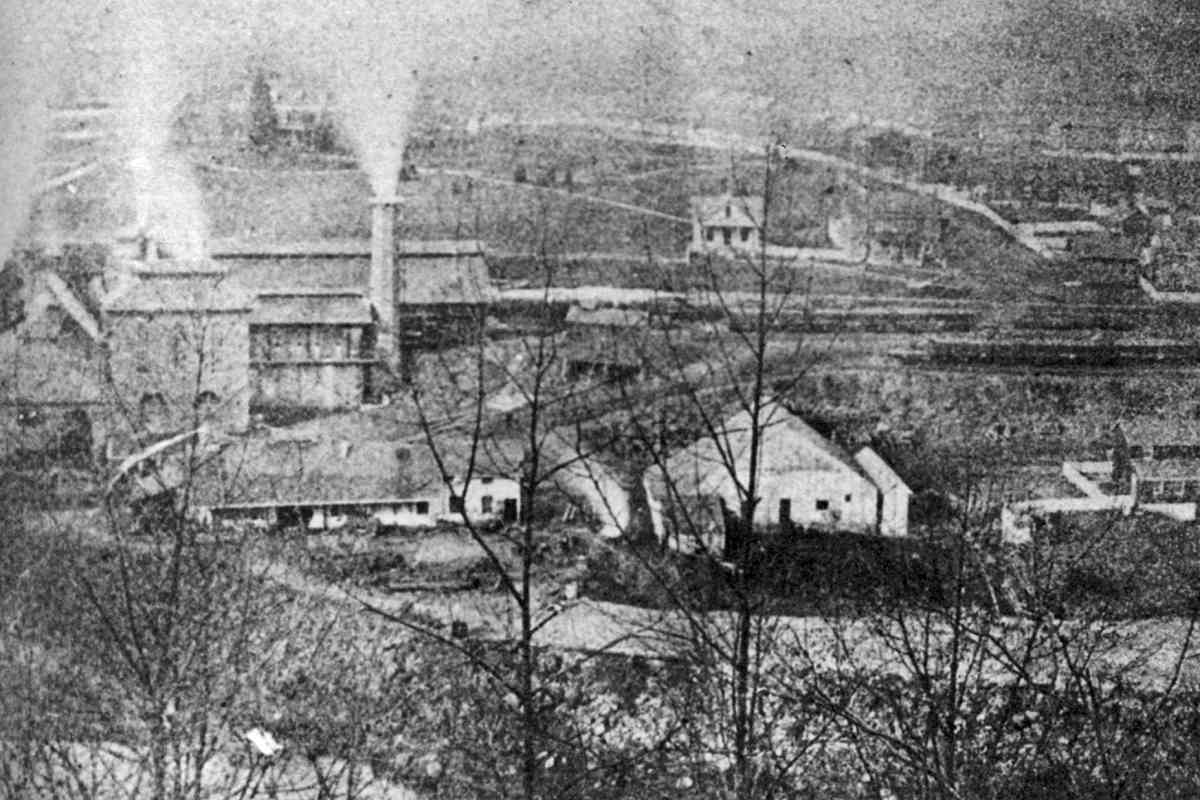
Photo courtesy HH Harwood collection |
| |||||||||||
| ||||||||||||
|
| |||||||||||
| ||||||||||||
The NC tour ends here. Thanks for following along!
You might also enjoy the tour of NC's branch from Baltimore to Sparrows Point,
or return south via the Baltimore Light Rail tour.
<< Previous | THIS PAGE: Cockeysville | End of tour || main index
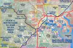
For other tours here now, select from the map:
Or, return to main page
Copyright Notice