|
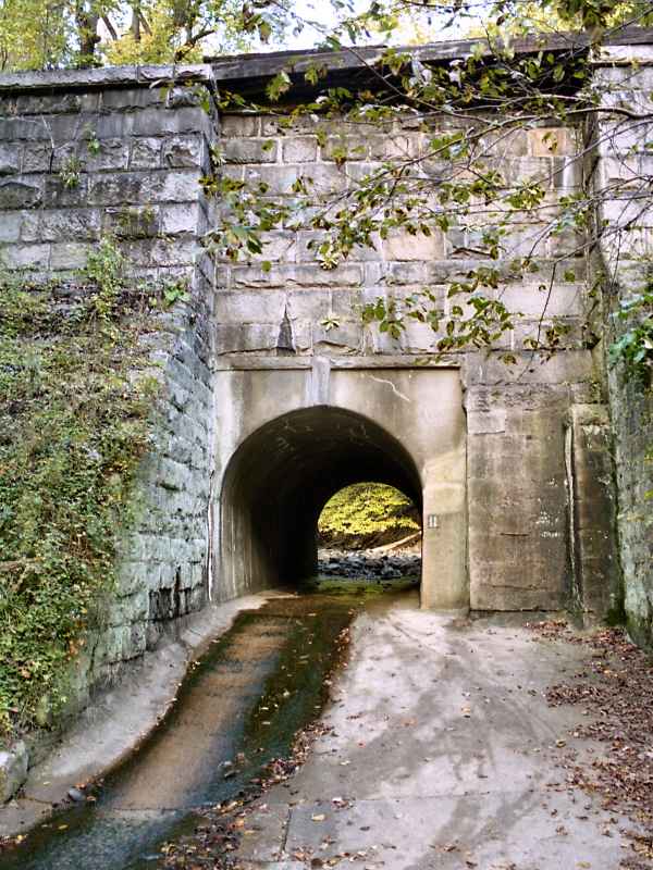
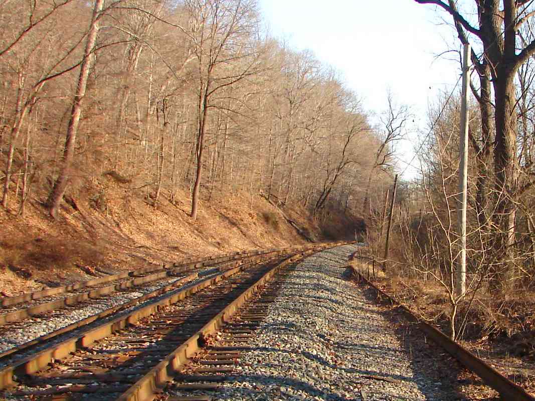
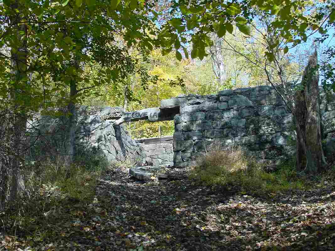
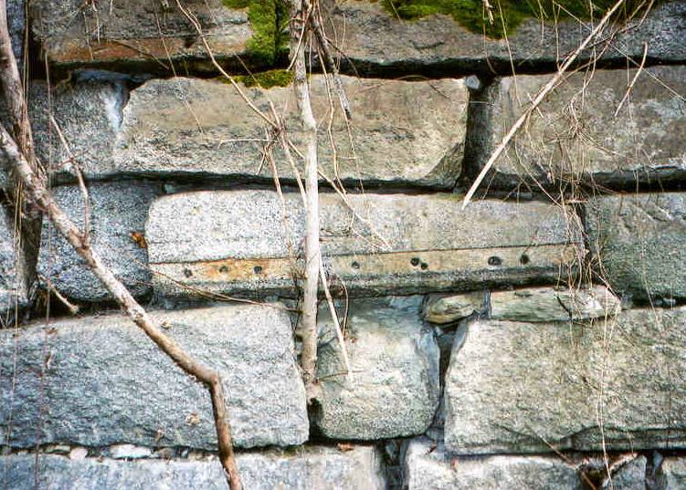
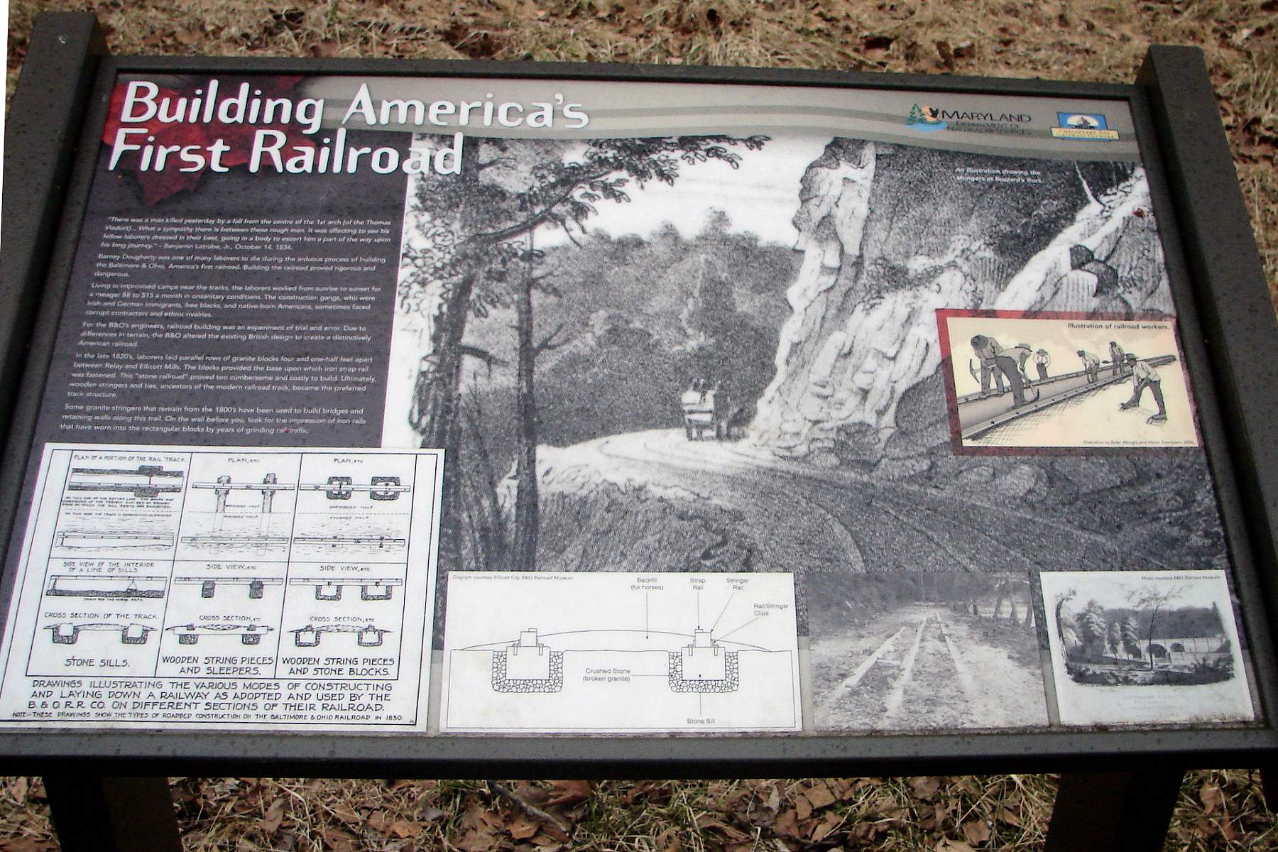
At the stringer wall, this trailside sign describes B&O's early
track construction techniques.
A panel at the lower left corner of the sign illustrates the three main track
designs B&O used before adopting the metal-T-rails-on-wooden-ties approach
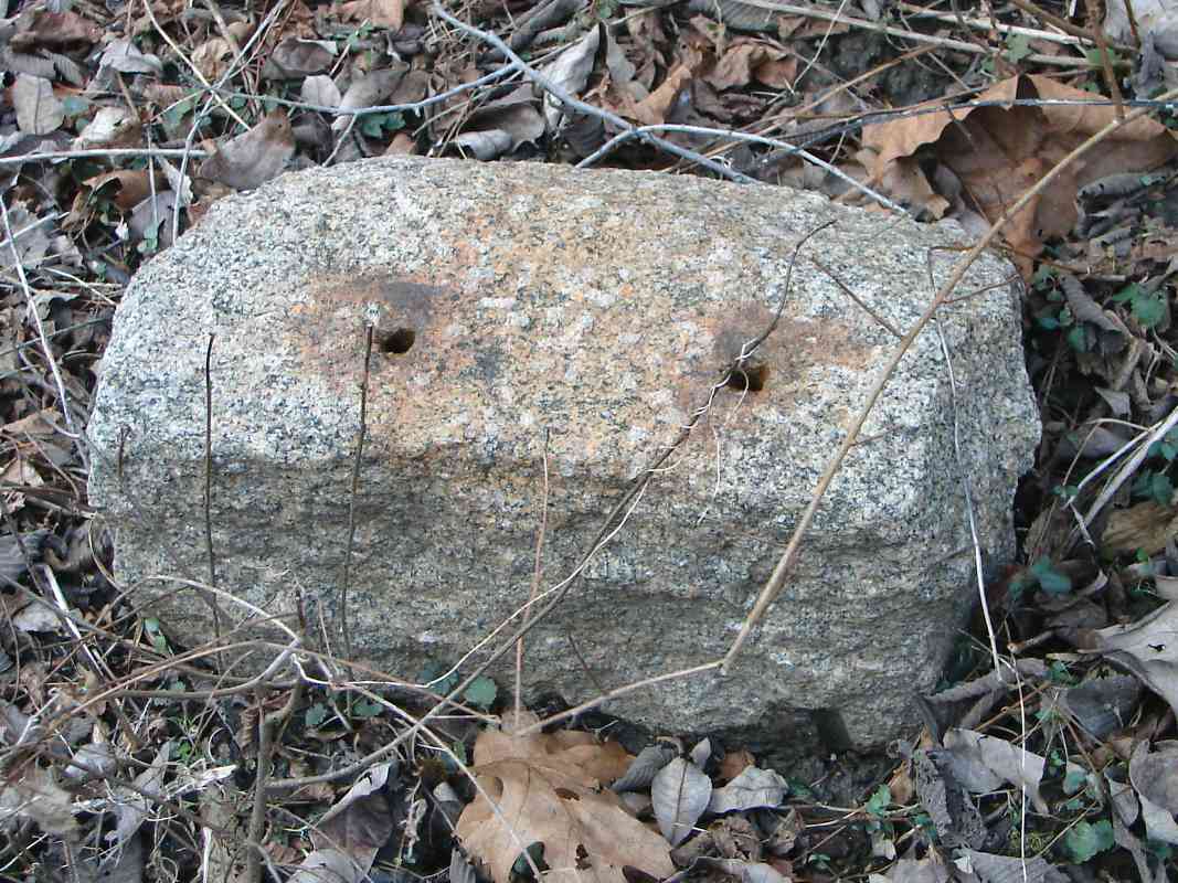
now ubiquitous. The leftmost design, stone stringers, was, relatively speaking,
the most recent of the three as well as the most durable hence its artifacts are
found in many spots. Before that, B&O tried the middle design, iron strap
rail on wooden stringers, but it quickly proved too flimsy so very little of it
was built, and no known artifacts survive. The oldest design is on the right,
iron strap rail on wooden stringers on stone blocks. Only with much hunting and
luck can one find a remnant of this technique.
|