|
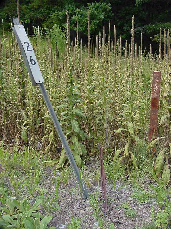
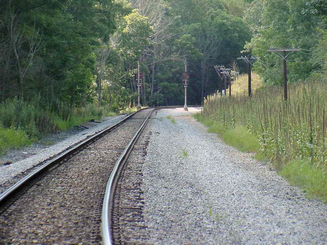
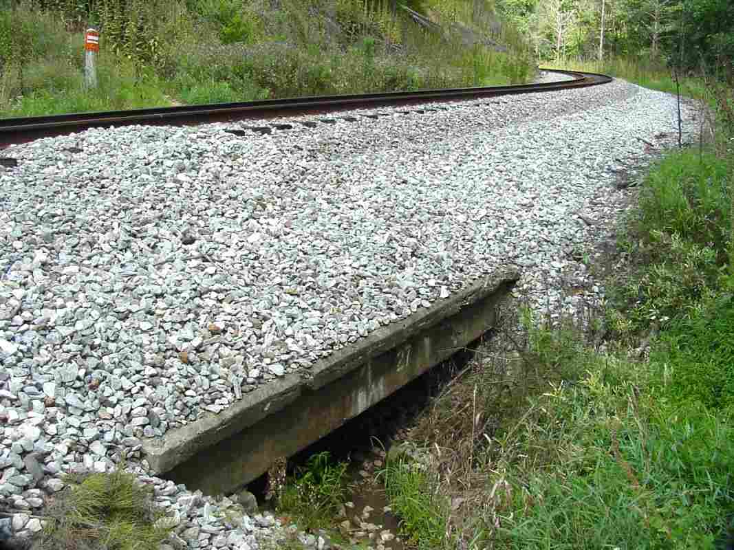
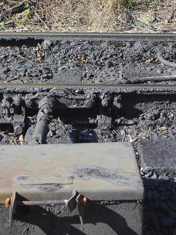
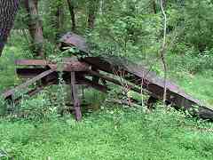
Bridge 27 is a small, unphotogenic thing, but it does have the always-helpful painted-on
number. This view looks back east as the winding OML bends around yet another hill.
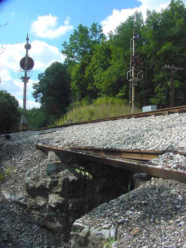
As of 2019 the inlet side of this bridge was found to have broken away from the rest,
but it has not yet blocked water from flowing under the tracks.
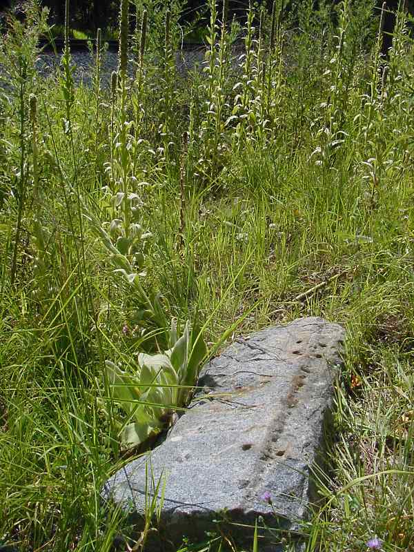
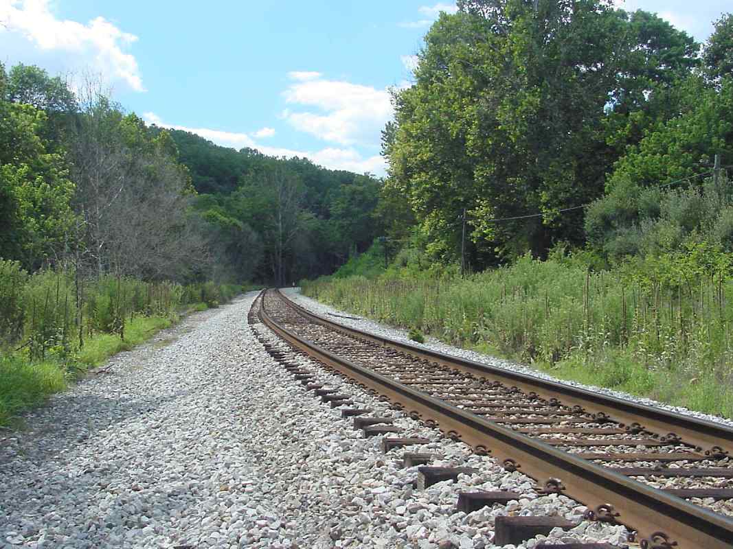
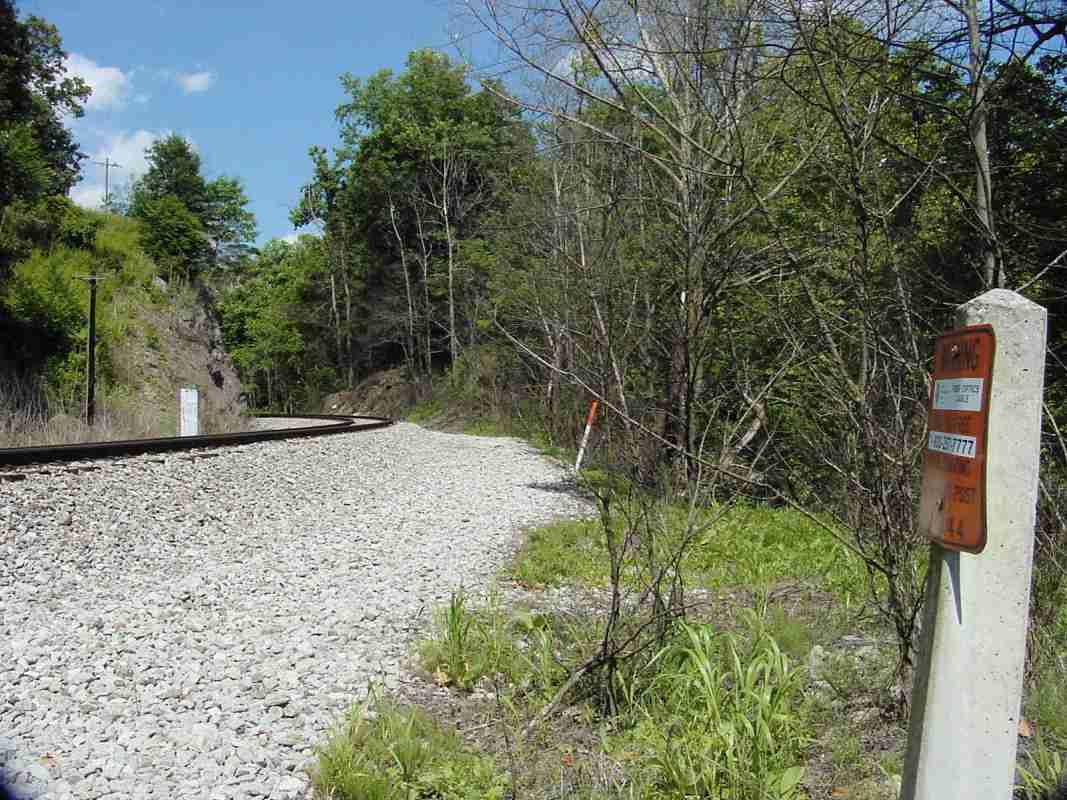
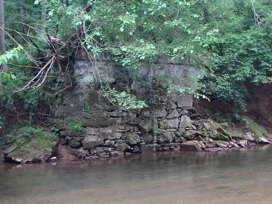
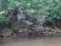
 Access to this spot is via Gorsuch Switch Road. The road ends about a half mile from
the tracks, but there is a rocky hiking path that leads you right to the orange and
white cable marker seen here in the upper left. Until at least the 1940s, Gorsuch
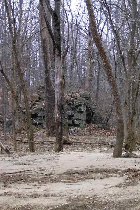
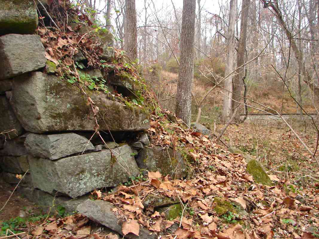
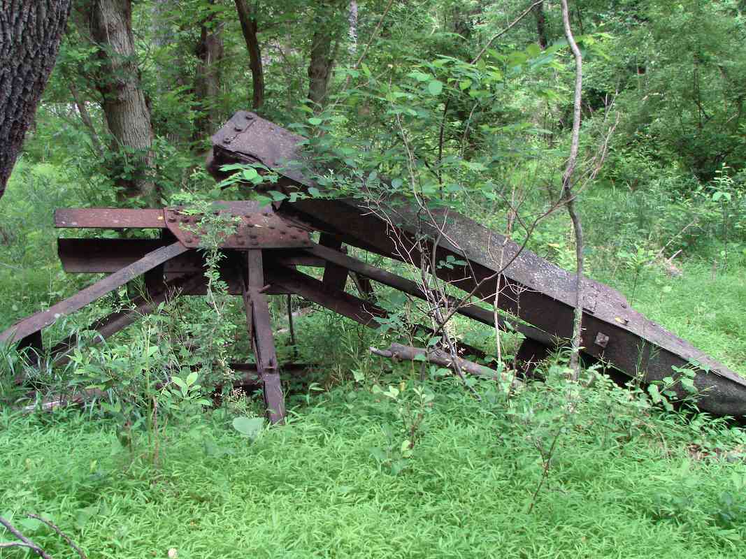
Switch Road had spanned the Patapsco River via a bridge. As of 2019 parts of the
bridge (photo, right) were still downstream of its stone abutments.
Access to this spot is via Gorsuch Switch Road. The road ends about a half mile from
the tracks, but there is a rocky hiking path that leads you right to the orange and
white cable marker seen here in the upper left. Until at least the 1940s, Gorsuch
Switch Road had spanned the Patapsco River via a bridge. As of 2019 parts of the
bridge (photo, right) were still downstream of its stone abutments.
H. Branch Warfield, who had lived in this vicinity on the south (Howard County)
side of the river, kindly shared memories:
"You have taken me on your tour, now let me take you on one.
"Route 32 runs through Howard County across the South Branch of the Patapsco
towards Westminster in Carroll County. For your tour go south through
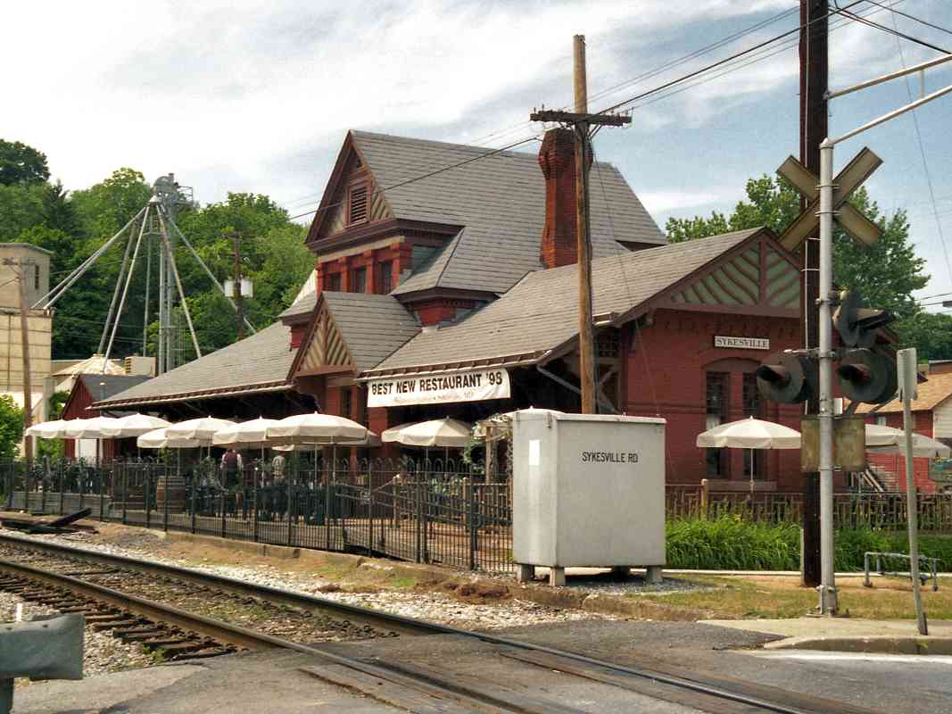
Sykesville, past
the Railroad Station, now Baldwin's Restaurant, cross the R.R.and bridge
over the river. Take the next left (east), River Road. It follows the river
closely, crosses a small stream, goes by what used to be a mining villlage
Elba, with the Elba Furnace showing through the trees across the river.
Gradually River Road veers away from the river, over several hills, and just
as it turns sharpley to the south, to intersect Route 32 (again), you find a
restored home with a sign in front: 'Solopia'. It sits on the northwest
corner of what used to be a 335 acre farm. We always spelled it
'Solopha' even though the 1741 Land Grant patented by John Johnson, a recent
arrival from county Salop in England, shows the spelling to be 'Salopia'.
My ancestors bought the property in 1832.
 "At this corner you intercept, to the
left, Gorsuch Switch Road, once county-owned and maintained, now hardly a
pathway down hill through woods and brush. After about a mile down hill, you
cross a stream and then you come to what was once a bridge, but now
large-stoned
abutments on either side of the river. (Pause there, and envision us
swimming and wading in the shallow water on summer days, or, in the winter,
cuttting ice from the river, hauling it away with a four-horse team, back up
the hill to the ice house near the main house. There, covered with straw,
the ice lasted through the summer, cooling many a glass of iced-tea).
"At this corner you intercept, to the
left, Gorsuch Switch Road, once county-owned and maintained, now hardly a
pathway down hill through woods and brush. After about a mile down hill, you
cross a stream and then you come to what was once a bridge, but now
large-stoned
abutments on either side of the river. (Pause there, and envision us
swimming and wading in the shallow water on summer days, or, in the winter,
cuttting ice from the river, hauling it away with a four-horse team, back up
the hill to the ice house near the main house. There, covered with straw,
the ice lasted through the summer, cooling many a glass of iced-tea).
"Now walk towards the railroad. On the left was a barn-red station for
waiting passengers, and a sign 'Gorsuch'. On the right, was a barn-red milk
stand, at a height level with the on-coming refrigerated B&O car door.
Imagine a one-horse milk wagon, at 7:15 AM, unloading 5 and 7 gallon milk
cans onto the stand and then sliding the cans aboard. (Once they picked me
up, slid me aboard, the engineer released his brakes so as to drift slowly
away, just to scare me). None of the buildings probably exist today. You
notice that there are then two tracks, and (what we called) a 'spare' where
sometimes box cars were parked. The west bound 'half-past two' train brought
afternoon visitors to Solopha from Ellicott City and sometimes a fiddler or
two from Baltimore to enliven gay-nineties evening dancing in the Solopha
parlor and living room. Sometimes train tracks had to be replaced. A burley
crew, led by the rhythmic chant of the crew-chief, and the echoing reply
of the crew, lifted and replaced the heavy track, all lifting in unison with
with the beat of the chant."
|