TrainWeb.org Facebook Page
Old Main Line Photo Tour


B&O Old Main Line
Modern day photo tour

Accompanying each photo below are:

Click a photo to see a larger view. Please send your comments and corrections to Steve.


<< Previous (east) | THIS PAGE: spur at Springfield Hospital | Next (west) >>

Springfield Hospital Spur - Brief Historical Background:

Spur Start
Updated mid-Oct 2021

Spur Start
Mile: 0.0 Date: Mar 2003
Ease: C View: W
Area: B IC2:
Map: Ca 34 K 4, Ho 4 K 5 Topographic Maps

Railless ties at bottom right mark the start of the disused Springfield Hospital Spur. The spur bends off what is now a rusty siding into Sykesville valves Sep 2019 (at one time it had been half of the Old Main Line's double track) and then continues behind the photographer. Meanwhile on the left, an eastbound CSX freight is moving auto racks through the Sykesville Tunnel.

Some references claim the disused, vandalized, small, white structure on the right is a flood control instrument building, but what remains inside looks more like a water supply pumphouse. Pipes follow the spur up to the hospital. Affixed to one of the units is a tag that reads 060177, which might represent an installation date of June 1, 1977.


Spur Start

Spur Start
Mile: 0.0 Date: Mar 2003
Ease: C View: E
Area: B IC2:
Map: Ca 34 J 4, Ho 4 J 5 Topographic Maps

With the white building as a reference, here's the opposite view. The spur bends off the siding to the left and then parallels the existing tracks as it immediately begins its ascent.

That brown brush covered ledge in the distance just left of the tracks hosted the spur. It has already climbed about 10 feet higher than the current tracks.


Climbing

Climbing
Mile: 0.1 Date: Mar 2003
Ease: C View: E
Area: B IC2:
Map: Ca 34 K 4, Ho 4 K 5 Topographic Maps

With the white building a short distance behind, this is the view climbing the spur. The mound marks the location of the route, with the disused ties on the right likely a former short siding.


Rails

Rails
Mile: 0.2 Date: Mar 2003
Ease: C View: E
Area: B IC2:
Map: Ca 34 K 4, Ho 4 K 5 Topographic Maps

A little further ahead some of the original rails can be found hiding in the brush.


Tight Squeeze

Tight Squeeze
Mile: 0.2 Date: Mar 2003
Ease: C View: W
Area: B IC2:
Map: Ca 34 K 4, Ho 4 K 5 Topographic Maps

Remember the tight squeeze pictured on the prior tour page? Here's the reason for it. The spur is perched on the ledge above with little room to spare; the brush manages to completely hide the abandoned rails in this area.

This view looks back toward the Sykesville Tunnel.


From Ledge
Photo courtesy Dave Hiteshew

From Ledge
Mile: 0.2 Date: Jan 2008
Ease: C+ View: E
Area: B IC2:
Map: Ca 34 K 4, Ho 4 K 5 Topographic Maps

Turning to look east once again, that's Sykesville in the distance. The roof of that town's relocated B&P tower is the light red triangle that appears above the utility pole at center.


Culvert

Culvert
Mile: 0.3 Date: Mar 2003
Ease: C+ View: N
Area: B IC2:
Map: Ca 34 K 4, Ho 4 K 5 Topographic Maps

I'm not sure this picture deserves inclusion in the tour. It's just an ugly piped culvert under the spur, leading to another culvert under the OML, but it does serve to illustrate one culvert design B&O was using in the early 1900s. It also shows how high the spur has risen by this point.


Going Up
Photo courtesy Dave Hiteshew

Going Up
Mile: 0.3 Date: Jan 2008
Ease: B View: NE
Area: B IC2:
Map: Ca 34 K 4, Ho 4 K 5 Topographic Maps

The spur rises steeply to meet Oklahoma Avenue ahead. Shadows reveal where rusty rails are hiding beneath the leaves.


Oklahoma Avenue

Oklahoma Avenue
Mile: 0.3 Date: Jul 2001
Ease: A View: W
Area: A IC2:
Map: Ca 34 K 4, Ho 4 K 5 Topographic Maps

Looking back, the spur has emerged from the forested hillside and crossed the oddly-named Oklahoma Avenue. Its previous name was Hotel Heights Road.


Train Garden
Photo courtesy Dave Hiteshew

Train Garden
Mile: 0.4 Date: Jan 2008
Ease: B View: NE
Area: B IC2:
Map: Ca 34 K 4, Ho 4 K 5 Topographic Maps

Fortunate homeowners in Sykesville get to have a real garden railroad, or at least its disused remains.


Timber
Photo courtesy Dave Hiteshew

Timber
Mile: 0.6 Date: Jan 2008
Ease: C View: NE
Area: B+ IC2:
Map: Ca 34 K 3, Ho 4 K 4 Topographic Maps

Calls of "timber!" here refer to the railroad rather than a tree. Actually, the large tree that has grown within 35 years appears to now be anchoring the tracks from completely sliding off a deteriorating right-of-way mound.


Bridge
Photo courtesy Dave Hiteshew

Bridge
Mile: 0.7 Date: Jan 2008
Ease: C View: SE
Area: B+ IC2:
Map: Ca 34 K 3, Ho 4 K 4 Topographic Maps

This design of this bridge is unusual, suggesting it may not have been for a stream. Photographer Dave Hiteshew gave his opinions:

    That bridge can be either of two things - possibly it was for water, before the new community and the man-made pond in the distance was built. But there is a small adjacent box culvert built within the same cement as this bridge, about 25 feet west - I don't know if it was always there (built the same time as the bridge) or added after the pond was built. Or, perhaps the small culvert is original, for a stream, and the bridge is for autos. To me it looks like it provided auto access to the area behind the tracks. We couldn't find the outlet for the small culvert - it might be in a private yard.

A long-time nearby resident reports this bridge had spanned a private farm road.


Main Street Bridge
Photo courtesy Dave Hiteshew

Main Street Bridge
Mile: 0.8 Date: Jan 2008
Ease: C View: NE
Area: A IC2:
Map: Ca 35 A 3, Ho 5 A 4 Topographic Maps

The spur continues its ascent and about a mile from where it began at the OML, it emerges from the overgrowth to climb high over Sykesville's Main Street / Spout Hill Road. A builder's plaque on the bridge reads "David E. Evans & Co. - Engrs. & Contractors BALTIMORE, MD."


Railfan House

Railfan House
Mile: 0.8 Date: Jul 2001
Ease: A View: N
Area: A IC2:
Map: Ca 35 A 3, Ho 5 A 4 Topographic Maps

What a great house this was for a railfan, eh? Watch all the rail traffic without even having to get out of bed!

Reader Andy Anderson wrote to share some memories:

    "I used to live in the railfan house. My parents (Herbert & Maxine Anderson) bought it in the 1960's. We were living there at the time I was born (1972). In 1988 my parents sold it to my mother's aunt & her husband (James Johnson). My parents retired from Springfield Hospital Center and moved back to their home state of TN. It was sold once again (I don't know who bought it) last year (2001). I have a lot of fond memories of Sykesville, especially riding bikes along the RR tracks to Marriottsville.

    "I'm not sure of an exact date when the last train ran on that spur. I believe it was between 1972-1975. I don't remember seeing it, but I couldn't have been more than 3 years old at the time. There is a museum being developed at the Springfield Hospital Center - I'm sure someone there could tell you. I always remember those tracks being called the 'Dinky tracks', I'm not sure why. Maybe it was because of the small number of cars, type of engine, rail gauge, etc."

Reader Randolph Richardson wrote to add:

    "It was called a dinky, I believe, because the hospital used a GE 44 tonner to pull loaded coal cars to Springfield Hospital. I was teaching at Sykesville High 1961-1966, and it was still running. The most cars I ever saw it pull were eight. It is an amazingly steep grade up to the hospital. Springfield was massive -- at its peak there were 3400 'guests' and a huge staff. The buildings were kept extremely warm, necessitating huge amounts of coal."


Onward and Upward
Photo courtesy Dave Hiteshew

Onward and Upward
Mile: 0.8 Date: Jan 2008
Ease: C View: NE
Area: A IC2:
Map: Ca 35 A 3, Ho 5 A 4 Topographic Maps

East of the bridge, rails and trees continue "til thy course is finished".

Thanks go to Dave Hiteshew for contributing pics to fill gaps in this tour. In 2005 I had collected a bunch of photos for an update, and later mistakenly deleted them from my computer, fortunately the only time to date I've managed such a feat.


ROW?

ROW?
Mile: 1.0 Date: Mar 2003
Ease: B+ View: S
Area: A IC2:
Map: Ca 35 A 2, Ho 5 A 3 Topographic Maps

As best I can tell from old maps, the spur squeezed between private residences here shortly before crossing Central Avenue. I'm not sure if those are leftover rails serving as lawn edging just beyond the tiny foot bridge. This view looks back toward the OML. Behind the photographer is the intersecion of Springfield Avenue and Cooper Drive


Aerial 1938
Photo courtesy Johns Hopkins University
NEW! mid-Oct 2021

Aerial 1938
Mile: Date: 1938
Ease: View: N (up)
Area: IC2:
Map: Ca 35 B 2, Ho 5 B 3 Topographic Maps

This is the highest-resolution old aerial photo currently available. The railroad is the curvier of the two lines that extend northeast from the intersection of Springfield Avenue and Cooper Drive at lower left to the hospital at upper right.


Dinkey

"Dinkey"
Mile: 1.1 Date: Mar 2003
Ease: A View: NE
Area: A IC2:
Map: Ca 35 A 2, Ho 5 A 3 Topographic Maps

Local teenager Mike Shenk spearheaded a 2002 effort to clear brush from a portion of the spur tracks adjacent to Sykesville Middle School.

The sign (removed since the time of this picture) read "The Springfield 'Dinkey' Railroad. Used from 1908-1972 to carry carloads of coal over the three and a half mile journey to the Springfield Hospital Power Plant. In April of 2002 BSA Troop 735 cleared the section of track behind the Sykesville Gatehouse Museum for Mike Shenk's Eagle Scout Project."

Nice work! One nitpick: the spur's length is closer to 2 miles.

Link to more info & pics: Bullsheet (scroll down to bottom)


MD 32
Photo courtesy Dave Hiteshew

MD 32
Mile: 1.3 Date: Jan 2008
Ease: C View: NE
Area: A IC2:
Map: Ca 35 B 2, Ho 5 B 3 Topographic Maps

The pole line and rails have their goal in sight: across MD 32 is the property of Springfield State Hospital.


Tended

Tended
Mile: 1.3 Date: Mar 2003
Ease: A- View: W
Area: A IC2:
Map: Ca 35 B 2, Ho 5 B 3 Topographic Maps

This view looks back to the location of the prior photo. Until an upgrade of the adjacent MD 32 in 2006 removed them, the tracks had been neatly maintained by the groundskeeper for the nearby Northrup Grumman (formerly Westinghouse) building.

The hospital spur continues to the lower right while a siding peels off to the NG building.

Reader Ken Plante wrote to add:

    "This was formerly a Westinghouse facility originally constructed to manufacture Industrial Electronics such as Induction Heating Machines, and later taken over by the Westinghouse Defense Center which was last known as Westinghouse Electronic Systems prior to its sale to Northrup Grumman in 1996. I am thoroughly enjoying taking virtual walks along the B&O through your web site. Thanks for your great work."


Nearing Hospital

Nearing Hospital
Mile: 1.3 Date: Mar 2003
Ease: A- View: E
Area: A IC2:
Map: Ca 35 B 2, Ho 5 B 3 Topographic Maps

This is the view opposite that of the previous picture. For future reference note the water tower on the left.

Upon reconstruction of a nearby intersection of MD 32 in 2008, these rails were pulled up and are no longer extant.


Light Rail

"Light Rail"
Mile: 1.3 Date: Mar 2003
Ease: A- View: S
Area: A IC2:
Map: Ca 35 B 2, Ho 5 B 3 Topographic Maps

The rails display forging date of December 1908. The "37" means a weight of 37 pounds per yard (take that, metric system!), which is lightweight rail. Mainline rail is now commonly about 130 pounds per yard.


Monorail
NEW! mid-Oct 2021

Monorail
Mile: Date: Jun 2005
Ease: A View: E?
Area: A IC2:
Map: Ca 35 B 1, Ho 5 B 2 Topographic Maps

Repurposed track segments pop up in various places on hospital grounds.


Culvert
Photo courtesy Dave Hiteshew

Culvert
Mile: 1.4 Date: Jan 2008
Ease: B View: SE
Area: A IC2:
Map: Ca 35 B 2, Ho 5 B 3 Topographic Maps

Not only rails mark the railroad's former route, but also a tiny piped culvert.


Cut
Photo courtesy Dave Hiteshew

Cut
Mile: 1.5 Date: Jan 2008
Ease: B View: NE
Area: A IC2:
Map: Ca 35 B 1, Ho 5 B 3 Topographic Maps

This small cut marks the right of way. On the right is the base of one of the water towers noted in a prior picture.


Shed
Photo courtesy Dave Hiteshew
Updated mid-Oct 2021

Shed
Mile: 1.6 Date: Jan 2008
Ease: B View: NE
Area: A IC2:
Map: Ca 35 B 1, Ho 5 B 2 Topographic Maps

GE 44 tonner 
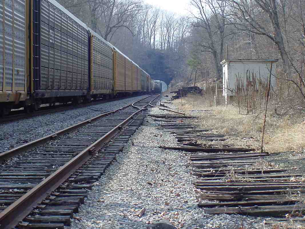
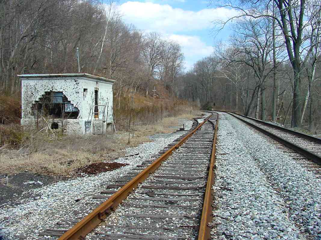
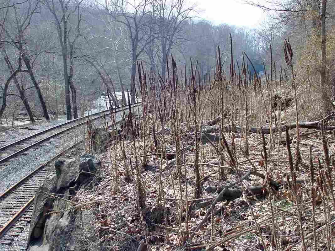
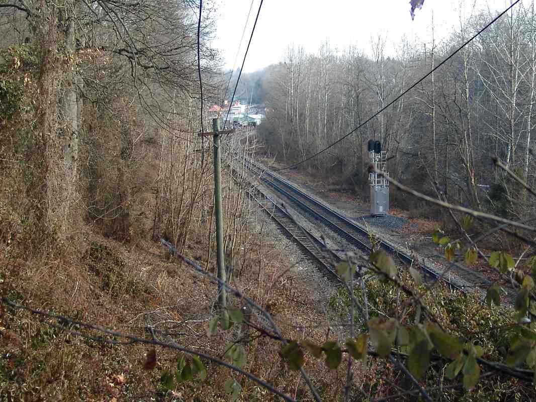
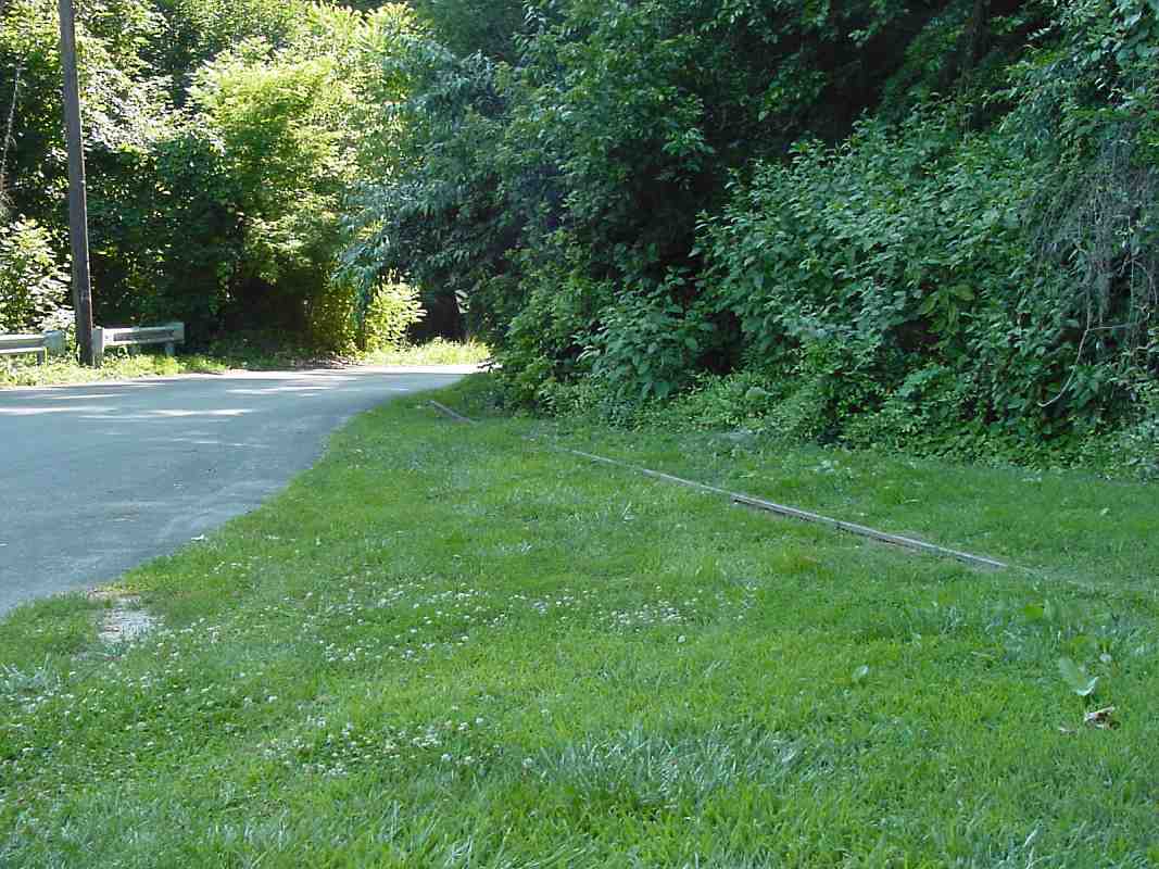
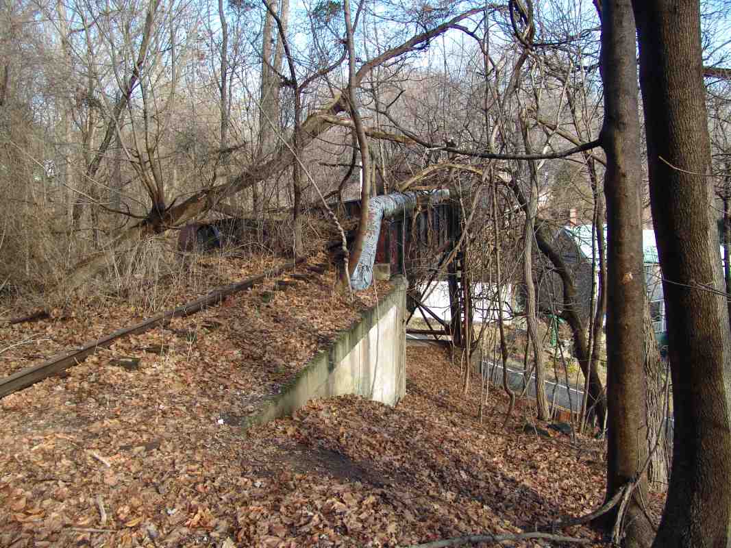
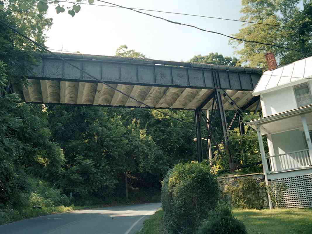
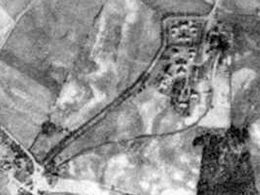
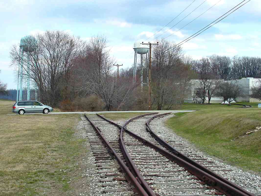
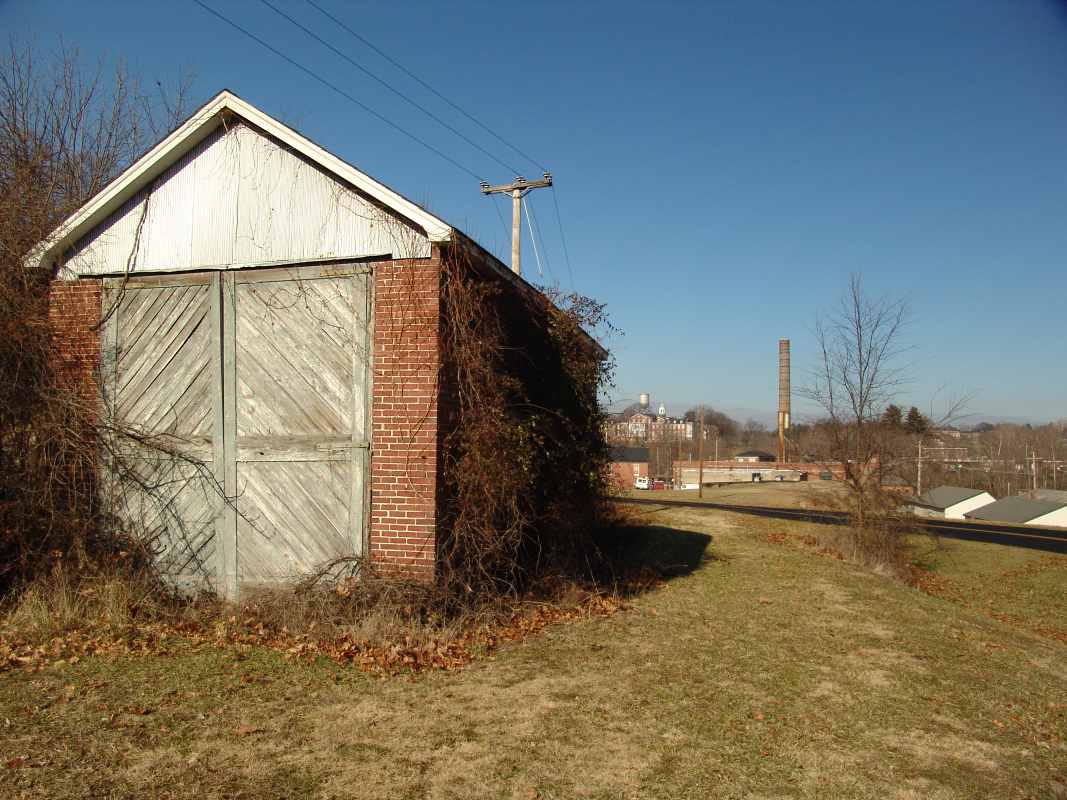
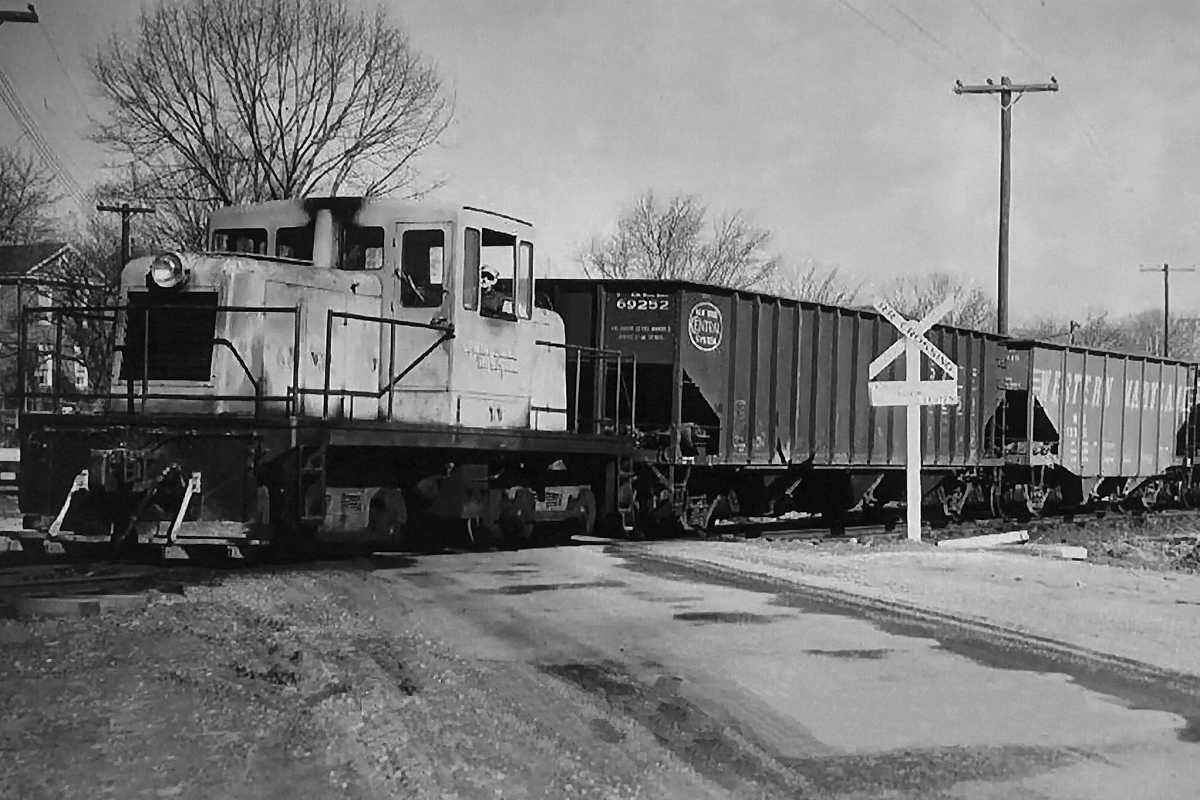
Just beyond the cut is the shed that housed the Dinky engine, a GE 44 tonner like that shown at right. Though the same model, the engine shown at right is not the particular one that operated on this line.

Reader Richard Lyons shared some memories:

    "I lived in the Gaither and Sykesville areas from 1972 to 1992, so the OML was a big part of my initial fascination with trains. I have special memories of the Springfield Hospital Spur. My mother was born (in 1943) and lived for 20+ years at the 4th(?) home on the right (east) side of the line after it crosses Oklahoma Ave. I can remember as a toddler standing on the backyard hillside at the track waiting for the 'Dinky' to stop, pick up my mother and I, and taking a trip to Springfield and back.

    "My grandparents were well known in town and worked as Nurses at Springfield, and Mom apparently had friends who ran the train. I still drive under the bridge and look up to see if the 'Dinky' is passing over. Thank you for the memories. I've also recently heard a rumor that 
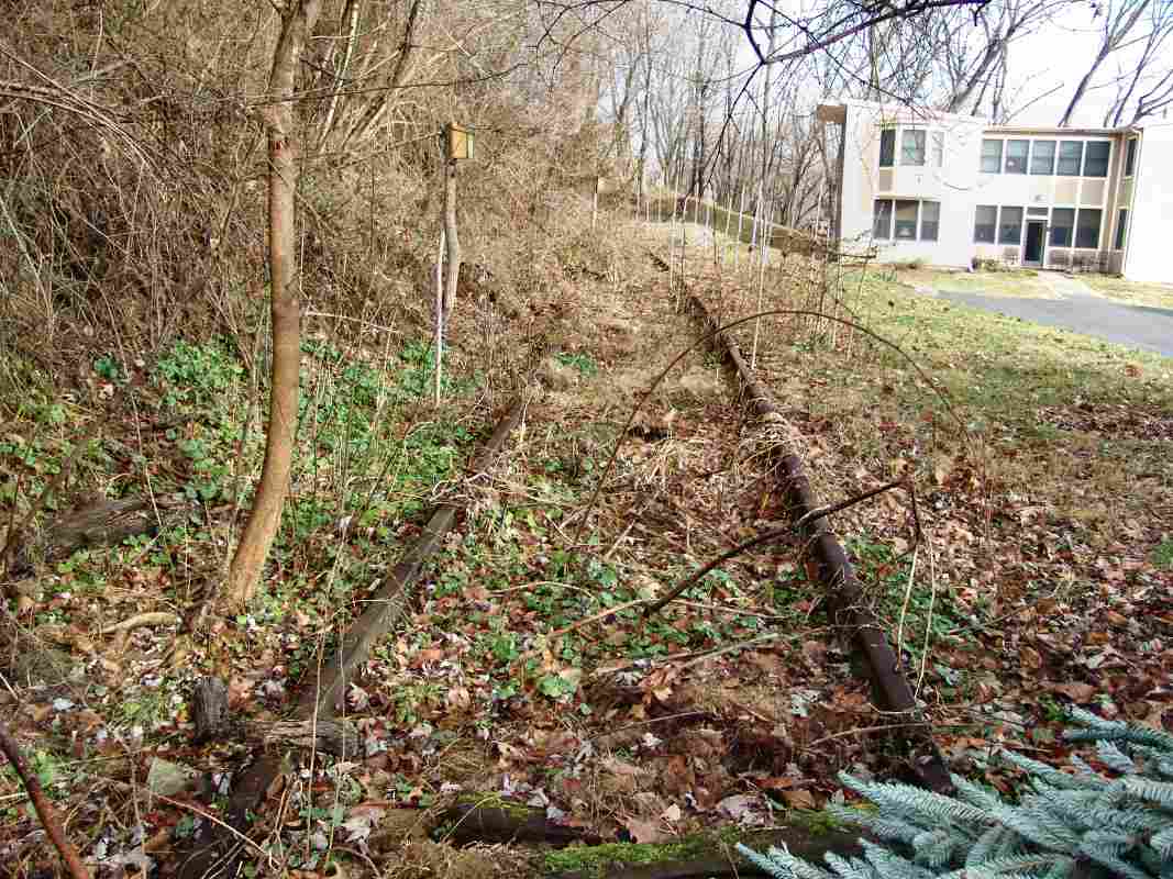
the 'Dinky' is stored in the bunker stall just adjacent to Buttercup Road. You can see the tracks going under the swinging doors."

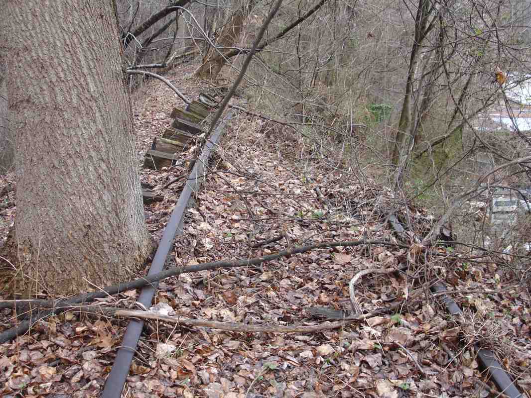
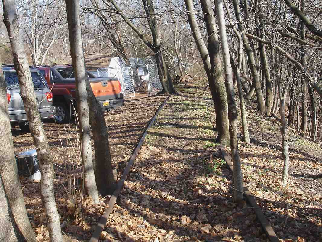
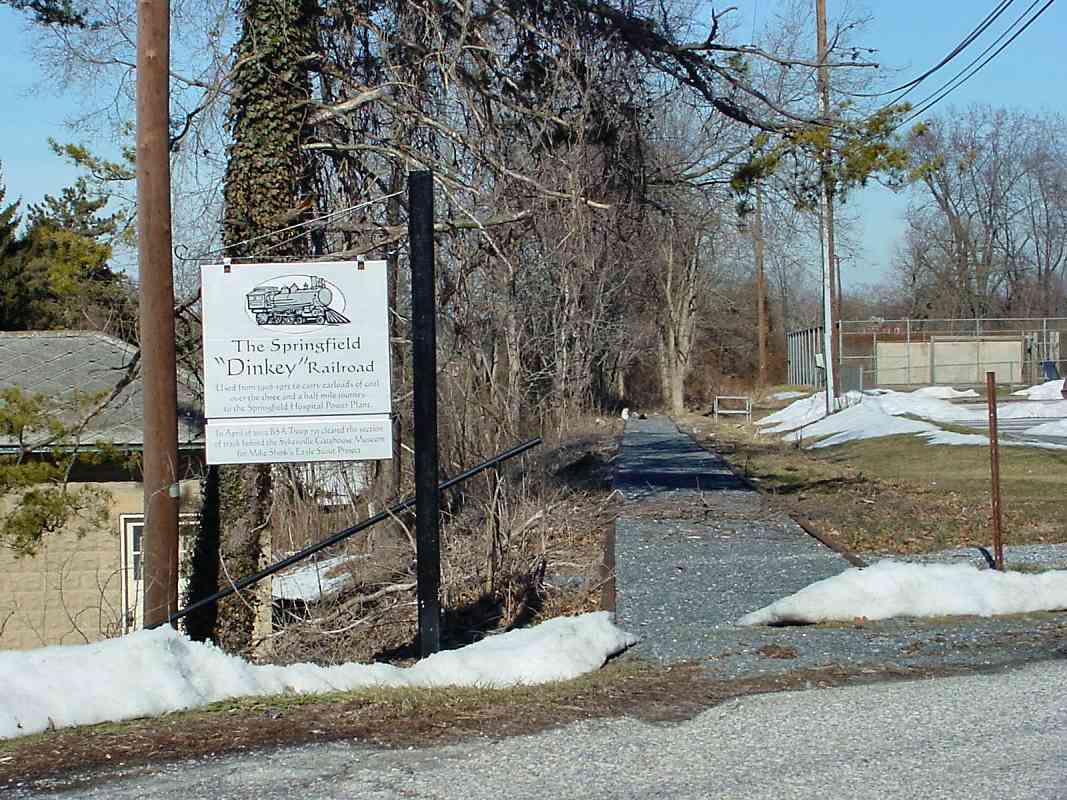
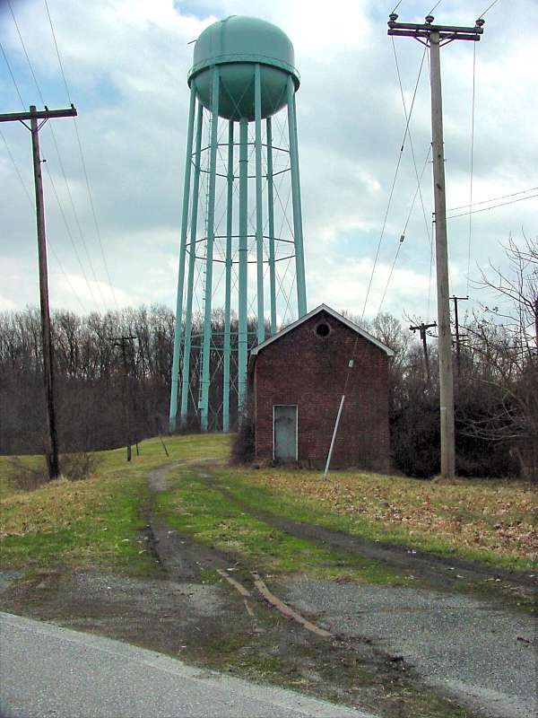
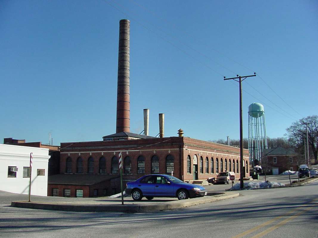
Sadly, as of 2005 the Dinky was not in the shed, nor the adjacent bunker. Leonard Easton remains curious about its livery:
    "Steve, what was the color scheme on the Dinky train? I grew up in Sykesville, ca. 1954-1963 and remember it being yellow and green, but can't remember the color scheme. Seems that the major body color was yellow with dark green accents, but time takes a toll on the old brain! Any help appreciated."
Jeff Adams contributed his memories on the subject:
    "I've lived in the Sykesville area since 1954 and I vividly remember the dinky. As Randy Richardson said, it was a GE loco but unlike the ones depicted in his note the dinky had side rods similar to a steam engine. Apparently not all axles had motors. The loco's color was grey with Springfield State Hospital lettered on both sides. The dinky was removed from service well before the line was closed in 1972. The hospital coal was then delivered by the B&O directly. I know this because the Sykesville ticket agent (G. Wilbur Boller) arranged for me to ride it from the station in Sykesville to the hospital and back. This was around 1965~1967. The engine they used was an Alco switcher that was discovered to be the culprit that had been starting numerous fire along the Old Main Line. The railroad was then required to install a spark arrester on this particular loco. The train was a local that made deliveries to other towns along the OML. Also, I had Randy Richardson as a teacher at Sykesville High and again in my senior year at South Carroll High."


Water Tower

Water Tower
Mile: 1.6 Date: Mar 2003
Ease: A View: SW
Area: A IC2:
Map: Ca 35 B 1, Ho 5 B 2 Topographic Maps

the reverse view of the shed and water tower...


Whistle
Photo courtesy Dave Hiteshew

Whistle
Mile: 1.6 Date: Jan 2008
Ease: A View: SW
Area: A IC2:
Map: Ca 35 B 1, Ho 5 B 2 Topographic Maps

A custom whistle post reminds that a grade crossing (Buttercup Road) lies ahead, or from this angle, behind.


Sidings?

Sidings?
Mile: 1.6 Date: Mar 2003
Ease: A View: NE
Area: A IC2:
Map: Ca 35 B 1, Ho 5 B 2 Topographic Maps

The remains of a switch near the Buttercup Road crossing would indicate the end of the spur is near. That's the power plant ahead. It appears the tracks split here, with coal cars bringing the fuel directly to the plant near where the white van is parked. Both full and empty coal hoppers could be staged in the open area to the right of the van. I don't know this for sure, it's just speculation.


End of the Line
NEW! mid-Oct 2021

End of the Line
Mile: 1.7 Date: May 2005
Ease: A View: NW
Area: A IC2:
Map: Ca 35 B 1, Ho 5 B 2 Topographic Maps

This masonry bumper post represents the northern limit of railcar travel on the spur.


Power Plant

Power Plant
Mile: 1.8 Date: Mar 2003
Ease: A View: SE
Area: A IC2:
Map: Ca 35 B 1, Ho 5 B 2 Topographic Maps

The destination for the coal? Springfield State Hospital's power plant.

The next tour page returns to where we left the Old Main Line.


<< Previous (east) | THIS PAGE: spur at Springfield Hospital | Next (west) >>

Or, return to main page

Copyright Notice