TrainWeb.org Facebook Page
Old Main Line Photo Tour


B&O Old Main Line
Modern day photo tour

Accompanying each photo below are:

Click a photo to see a larger view. Please send your comments and corrections to Steve.


<< Previous (east) | THIS PAGE: disused at Hartman, part 2 of 2 | Next (west) >>

Map

Map
Mile: 50 to 53 Date: Nov 2008
Ease: View:
Area: IC2:
Map: Fr 39 E 2 Topographic Maps

The map is centered on Hartman Tunnel and stretches from Ijamsville, Maryland west to Reels Mill; OML milepost 50 to 53. Click on the map to see a larger version.

The green line marks the original alignment, the magenta represents an early realignment, and the black the current railroad.

This tour page tracks west from Hartman Tunnel.


S Curve

S Curve
Mile: 50.8 Date: Mar 2005
Ease: C View: W
Area: A IC2:
Map: Fr 39 F 2 Topographic Maps

With Hartman Tunnel at the photographer's back, this is a view west toward Penitentiary Cut. The original Old Main Line alignment (green) stays on the north bank of Bush Creek, while the second alignment (magenta) curves to meet the current. That's mile marker 51 in the distance just right of center.


Penitentiary Cut

Penitentiary Cut
Mile: 51.0 Date: Mar 2005
Ease: C View: W
Area: A IC2:
Map: Fr 39 E 2 Topographic Maps

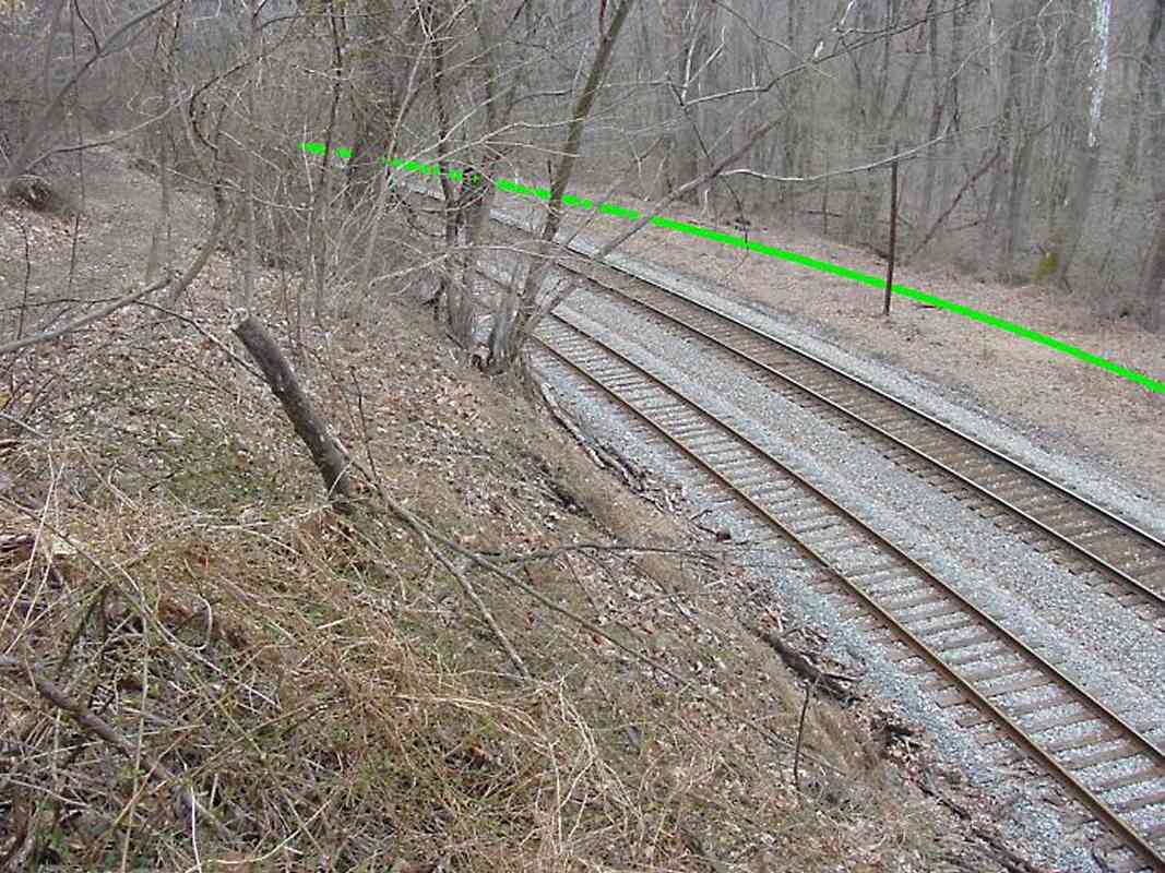
Was Penitentiary Cut named because prison labor was employed, or because workers would rather have broken rocks in the slammer than boulders here?

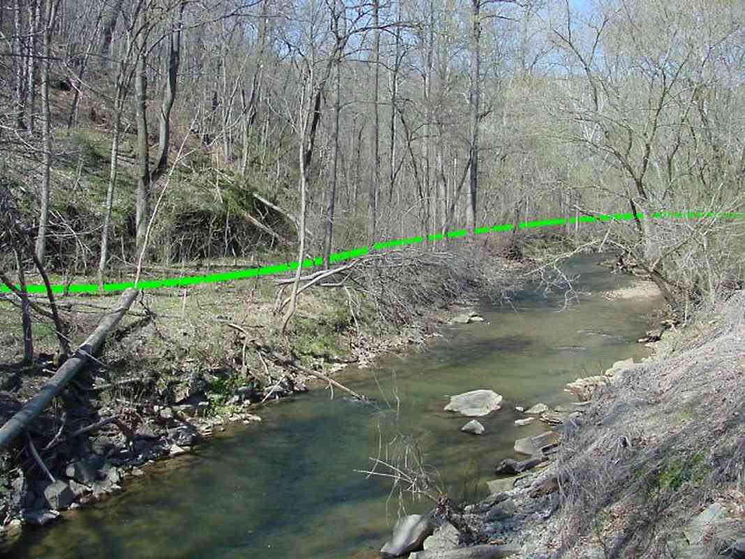
B&O avoided cuts like this in 1830 for the initial Old Main Line, and instead religiously followed the bends of a nearby stream. As locomotives, cars and trains quickly grew longer, the curves became a big headache, and by 1838 the railroad had forged a new alignment to bypass the OML's most severe curve, the one at Elysville (now Daniels).

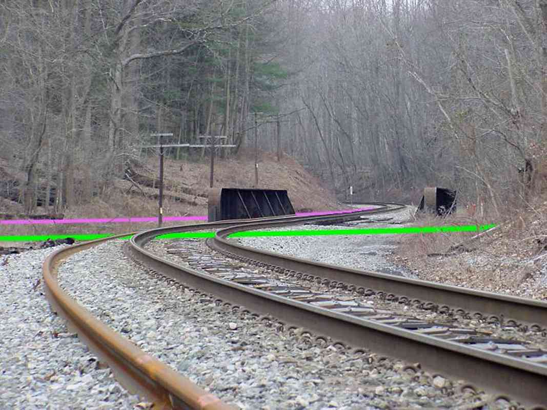
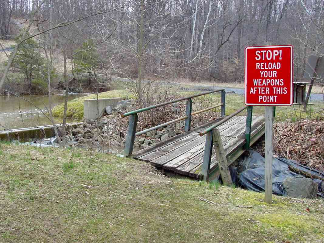
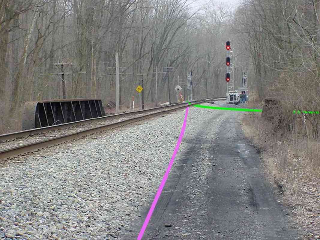
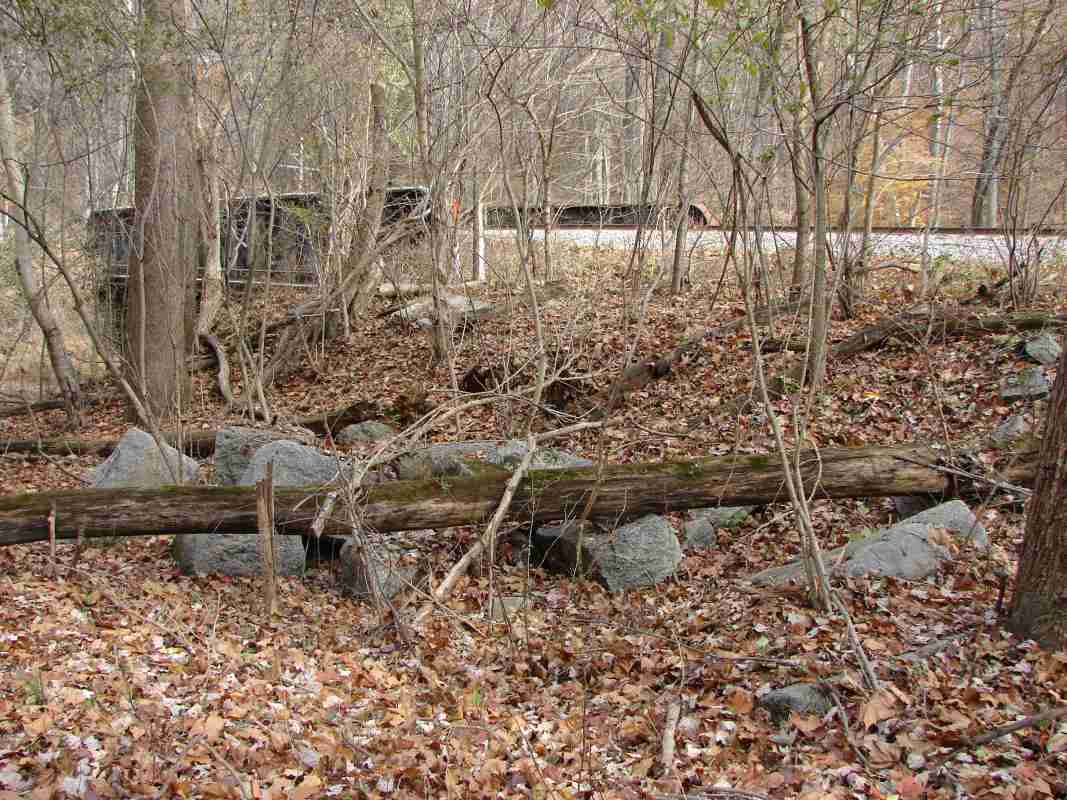
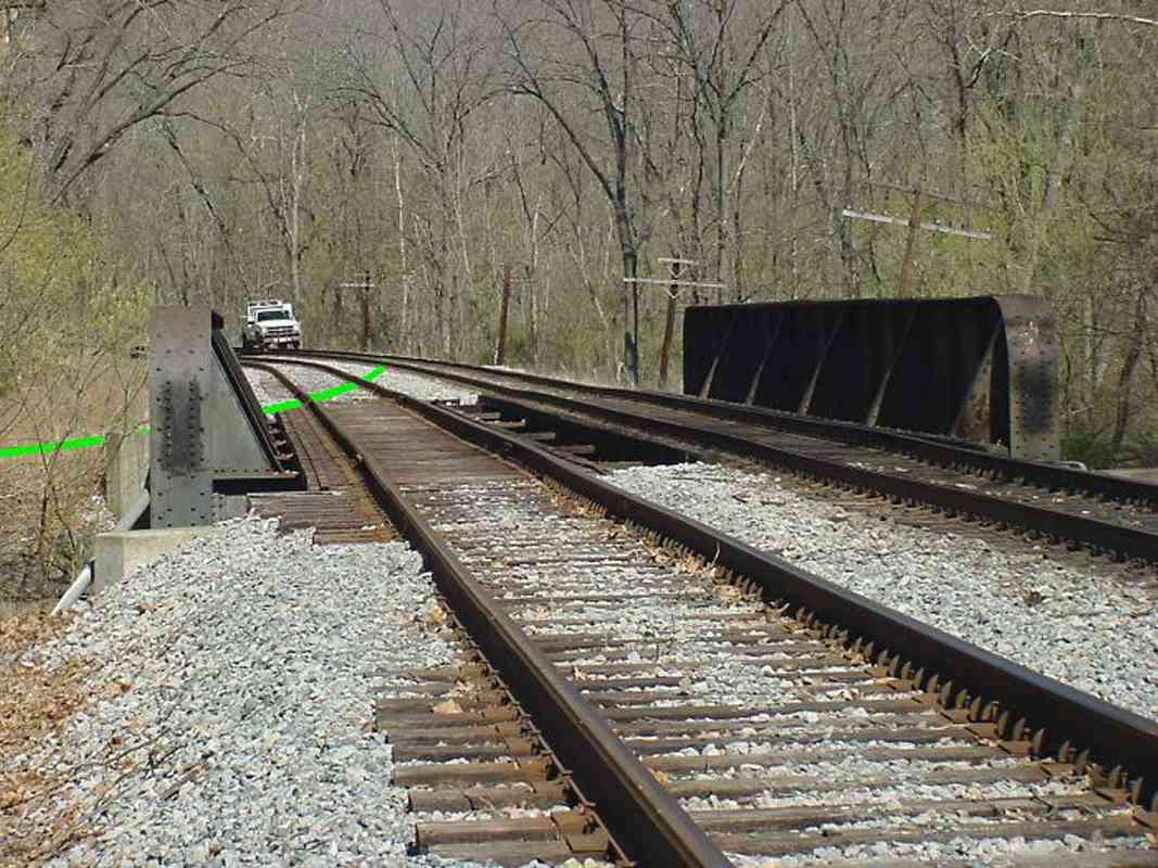
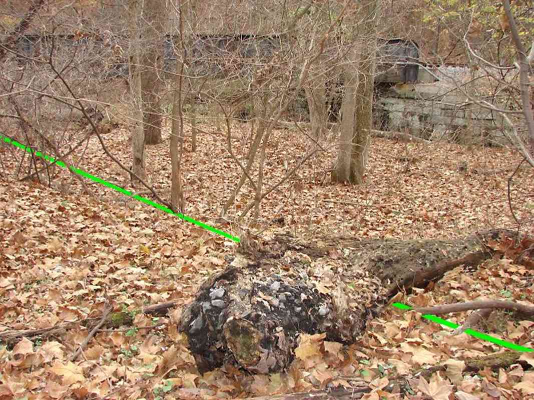
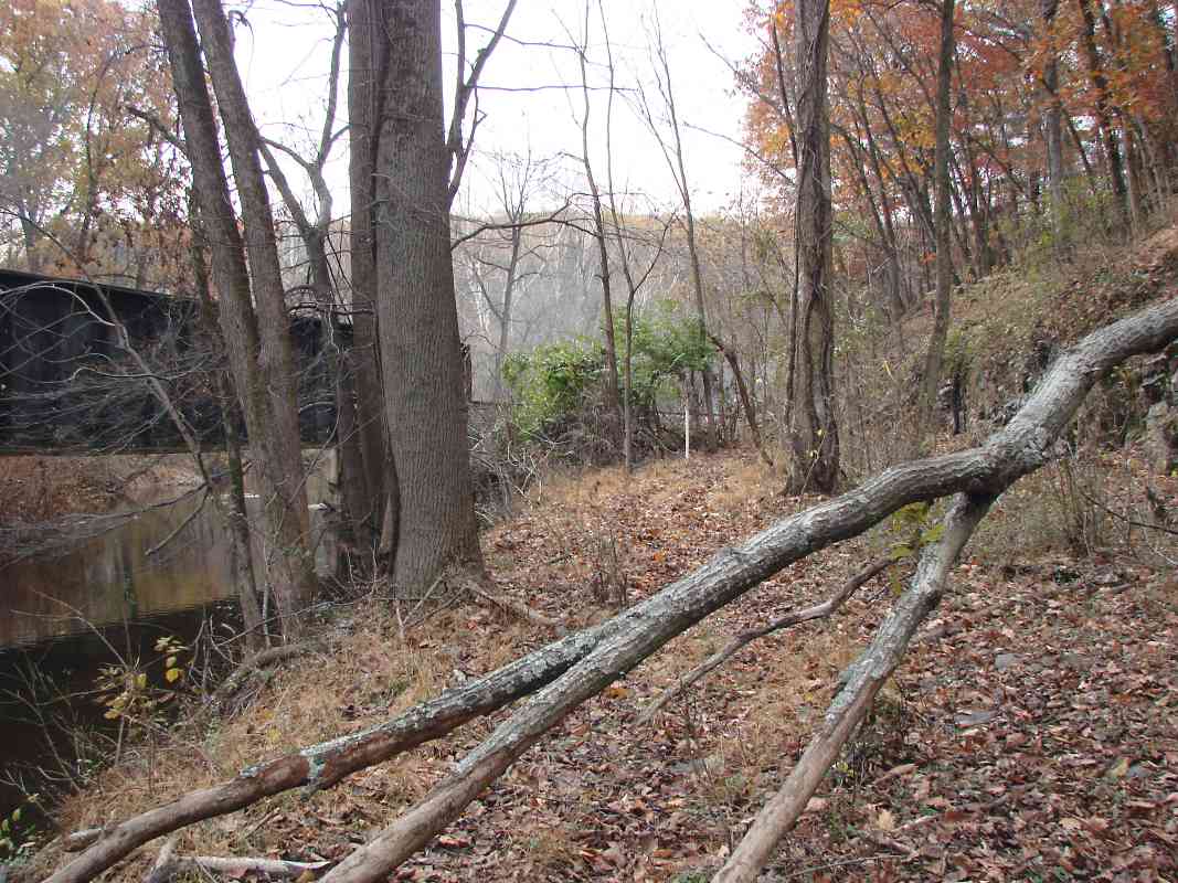
The style of the nearby disused bridge suggests this cut was made during the same time period. This cut is small by today's standards, but due to the significant difficulty of stone cutting in a hand-tools-only era, B&O undertook cuts for only the most extreme cases. The curve in this vicinity was the OML's second most severe.

It is likely the cut was widened later, probably as part of the Hartman Tunnel project around 1902.


Shelf
Photo courtesy Dave Hiteshew

Shelf
Mile: 50.9 Date: Nov 2007
Ease: C View: E
Area: A IC2:
Map: Fr 39 E 2 Topographic Maps

Now we'll follow the original alignment... this view looks upstream back to bridge 33C. The tracks had sat atop this shelf, perilously close to Bush Creek.


west

West
Mile: 50.9 Date: Mar 2005
Ease: C View: W
Area: A IC2:
Map: Fr 39 E 2 Topographic Maps

Same spot, looking west.


canada geese

Canada Geese
Mile: 51.0 Date: Mar 2005
Ease: C View: N
Area: B IC2:
Map: Fr 39 E 2 Topographic Maps

A two-unit train of the CG&P in its black and white livery glides eastbound.


reload

Reload
Mile: 51.0 Date: Mar 2005
Ease: C View: E
Area: B IC2:
Map: Fr 39 E 2 Topographic Maps

Can't say I see one of these signs very often. Maps show a small stream at this location, so I had hoped to find an original B&O culvert here, but alas the area has been altered and only scattered stones remain to hint at the possible location of a culvert.


shooting range

Shooting Range
Mile: 51.0 Date: Mar 2005
Ease: C View: W
Area: B IC2:
Map: Fr 39 E 2 Topographic Maps

Unless you want to become part of target practice, it is probably best to avoid this area. Here the Frederick County Police Department has taken over the original alignment for a shooting range... a Rails to Jails project?


double culvert

Double Culvert
Mile: 51.1 Date: Mar 2005
Ease: C View: S
Area: A IC2:
Map: Fr 39 E 2 Topographic Maps

Another stream west of the shooting range didn't disappoint, rather it yielded a fun surprise: a double culvert! The only other surviving OML double culvert is between Monrovia and Ijamsville. There's nothing like stone to preserve the fact trains had once passed this way.


interior
Photo courtesy Dave Hiteshew

Interior
Mile: 51.1 Date: Nov 2007
Ease: C View: S
Area: A IC2:
Map: Fr 39 E 2 Topographic Maps

The inside of the culvert illustrates the less-than-precise stonework that typifies the OML the closer it gets to Frederick.


after curve

After Curve
Mile: 51.1 Date: Mar 2005
Ease: C View: SE
Area: A IC2:
Map: Fr 39 E 2 Topographic Maps

A curve immediately behind was so sharp it turned the original alignment's westbound track to a southeast heading at this location; the severe curve justified the tough work required to create the straighter and shorter alignment through Penitentiary Cut. Beyond the trees on the left you can spot bridge 34.


meet

Meet
Mile: 51.2 Date: Mar 2005
Ease: C View: S
Area: A IC2:
Map: Fr 39 E 2 Topographic Maps

All three alignments meet just south (west) of bridge 34.


stones
Photo courtesy Dave Hiteshew

Stones
Mile: 51.2 Date: Nov 2007
Ease: C View: NE
Area: A IC2:
Map: Fr 39 E 3 Topographic Maps

A pile of cut stones near a bridge always suggests a prior alignment or change to the bridge. Indeed bridge 34 has a date plaque of 1927 indicating it is not the original in this vicinity. Bush Creek would have first been spanned here when Penitentiary Cut opened in 1838.


wider

Wider
Mile: 51.4 Date: Mar 2005
Ease: C View: NE
Area: A IC2:
Map: Fr 39 D 3 Topographic Maps

The clearing indicates the original alignment had swung wider around this hill.


bridge 34 1/4

Bridge 34 1/4
Mile: 51.6 Date: Apr 2005
Ease: B View: E
Area: A IC2:
Map: Fr 39 D 3 Topographic Maps

After swinging wide of the hill, the original alignment curved to stay north of Bush Creek. Bridge 34 1/4, also called Riverwood 2, is a later addition.

That B&O used a different naming scheme (34 1/4 rather than 34A) tells me this bridge may be a more recent addition, perhaps a realignment associated with the opening or closing of Reels Mill yard which is about 1.5 miles west.


ballast
Photo courtesy Dave Hiteshew

Ballast
Mile: 51.6 Date: Nov 2007
Ease: C View: S
Area: A IC2:
Map: Fr 39 D 3 Topographic Maps

The type of ballast exposed by this fallen tree reveals this disused right of way had seen trains into the 20th century, probably until Hartman Tunnel opened in 1902 or perhaps until bridge 34 1/4 (in the distance) was built in 1927.


north bank

North Bank
Mile: 51.6 Date: Mar 2005
Ease: B View: N
Area: A IC2:
Map: Fr 39 D 3 Topographic Maps

Over the river and through the woods to the original alignment we go.


more shelf

More Shelf
Mile: 51.7 Date: Apr 2005
Ease: B View: N
Area: A IC2:
Map: Fr 39 D 4 Topographic Maps

Even the original alignment had to cut through rock in various places to create a shelf for the track.


westernmost
Photo courtesy Dave Hiteshew

Westernmost
Mile: 51.7 Date: Nov 2007
Ease: B View: SW
Area: A IC2:
Map: Fr 39 D 4 Topographic Maps

The current trackage rejoins the original alignment just west of bridge 34 1/2.

This area marks the last (westernmost through Point of Rocks) of the many OML realignments made by B&O.


<< Previous (east) | THIS PAGE: disused at Hartman, part 2 of 2 | Next (west) >>

Or, return to main page

Copyright Notice