|
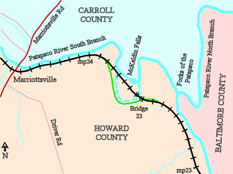
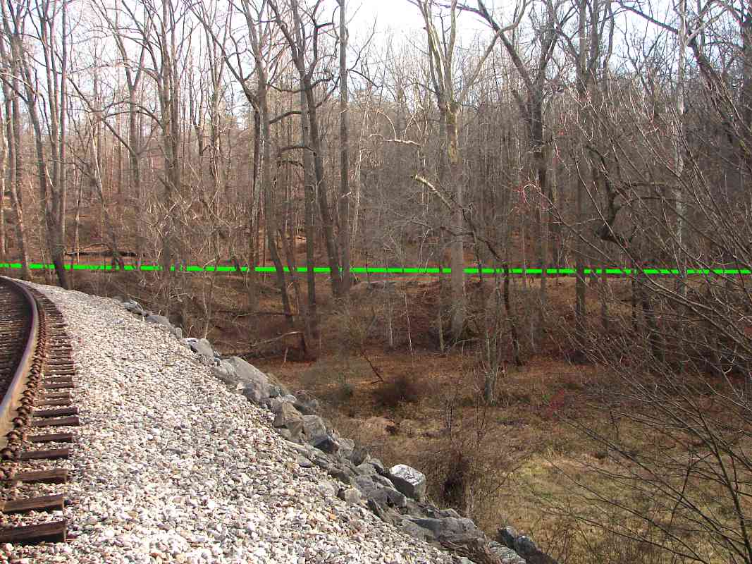
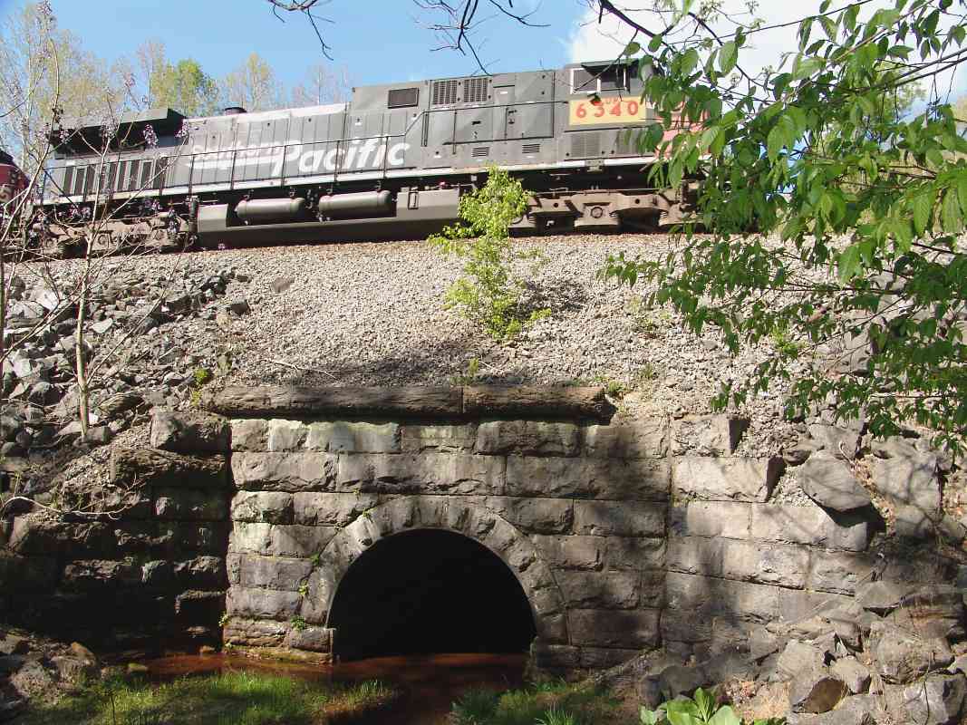
From a swampy location between the original alignment and the present
one, at bridge 23 Dave caught Union Pacific 6340, a so-called "patch unit",
displaying hasty renumbering and only partial repainting from
its days as Southern Pacific 305.
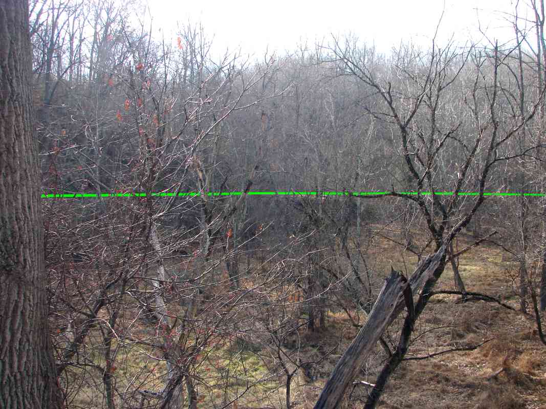
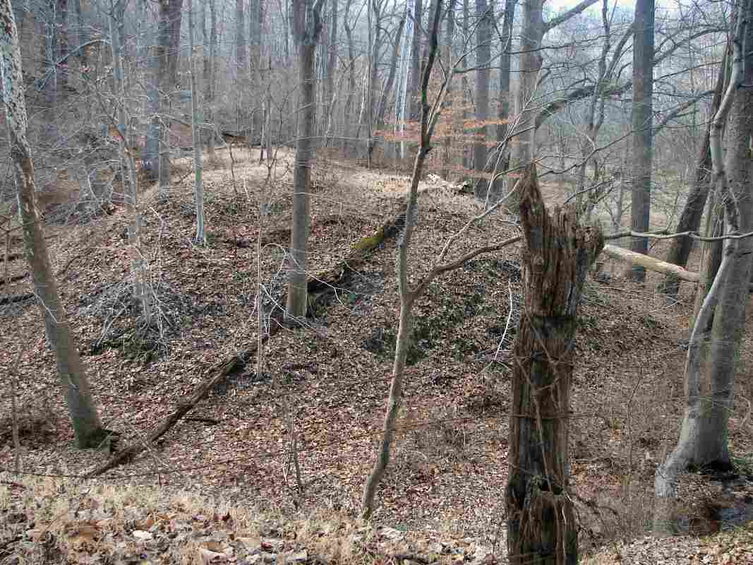
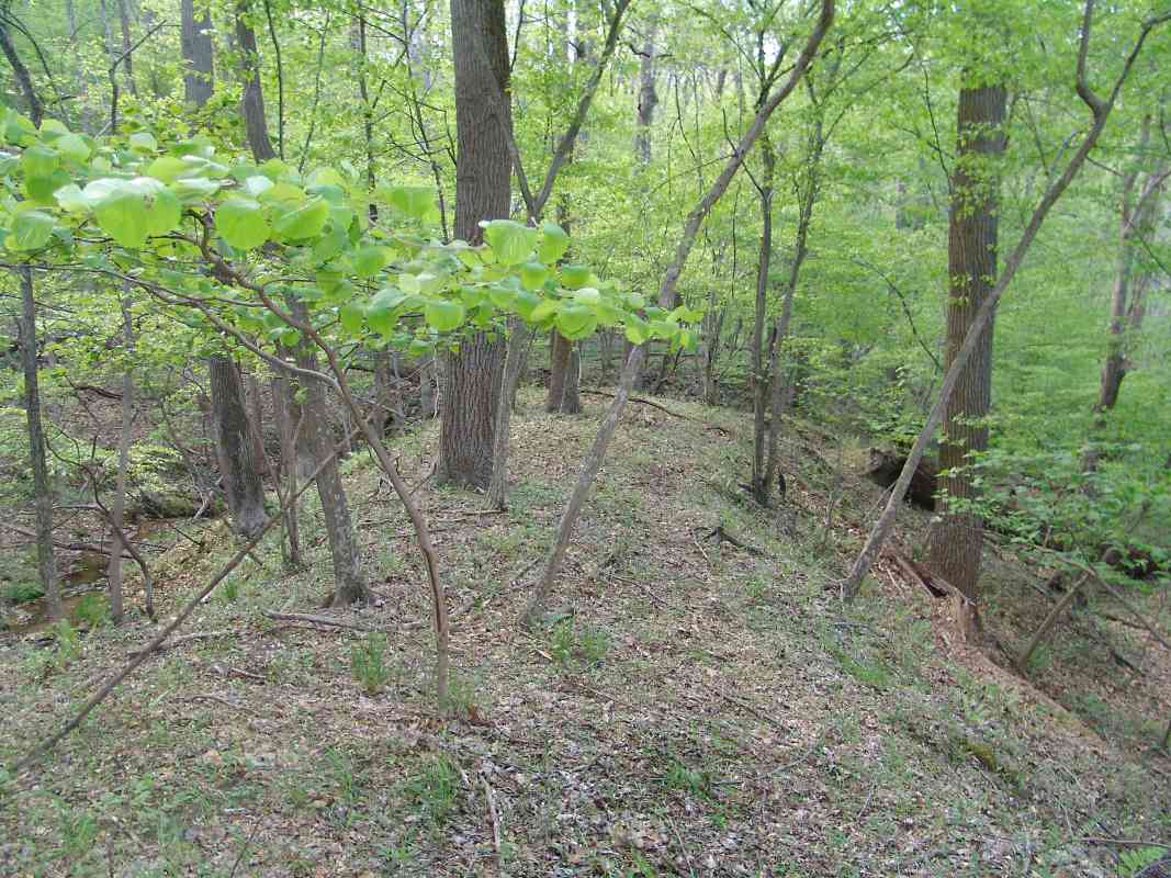
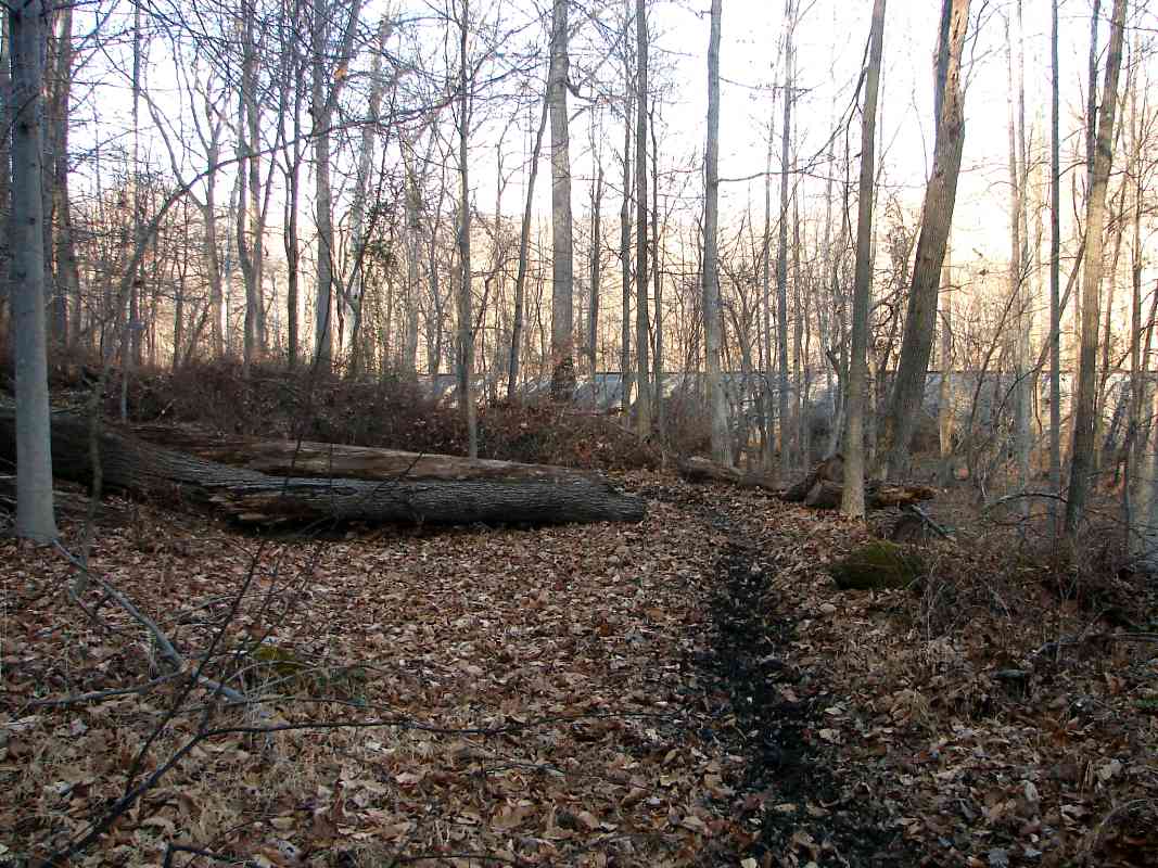
The swamp marks the remains of the Patapsco River's original route.
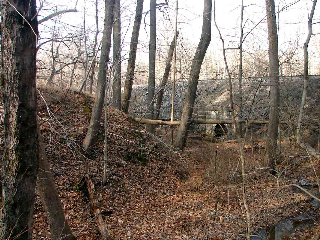
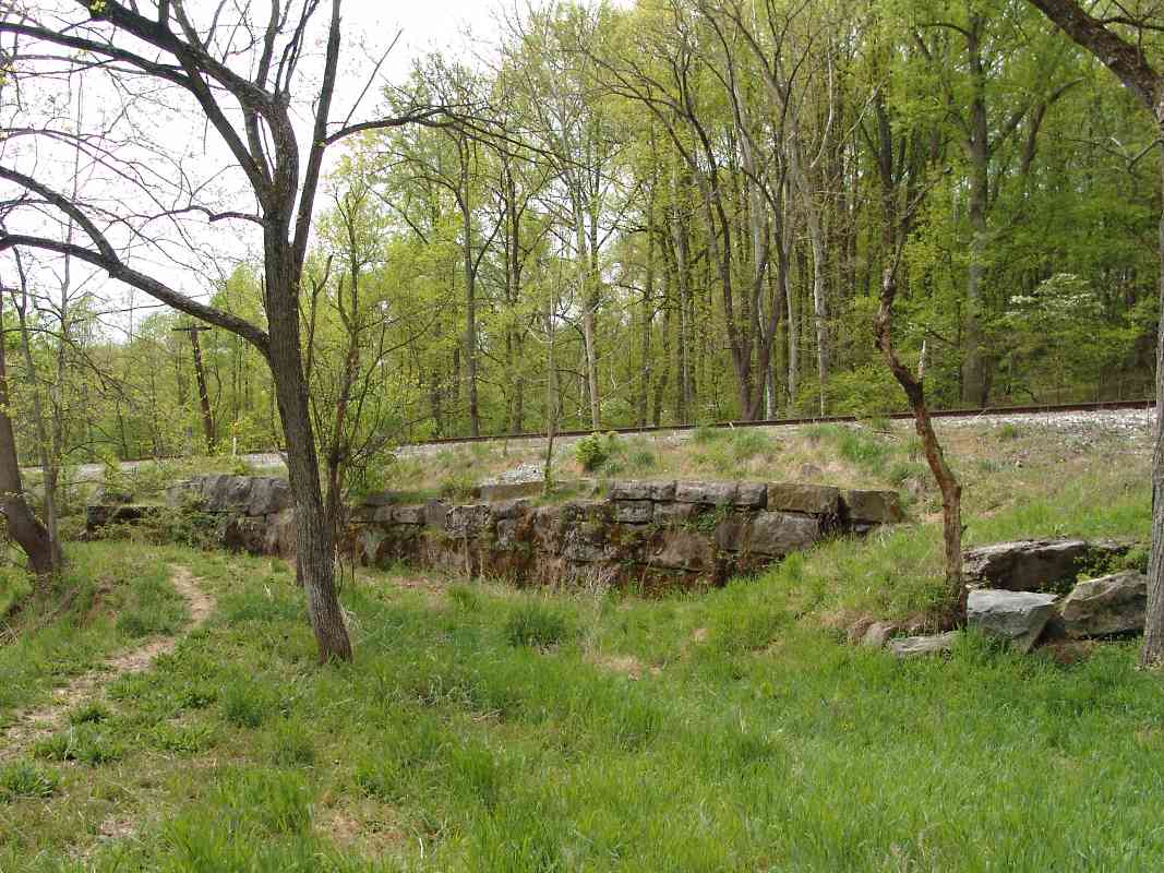
The stonework here matches that of other arched bridges built during
the OML's period of tunnelling and realignment between 1900 and 1905.
The 1855 book "Rambles in the path of the steam-horse" specifically
mentions the lack of a bridge here, which suggests it was added later,
perhaps to facilitate drainage of the Patapsco's natural route.
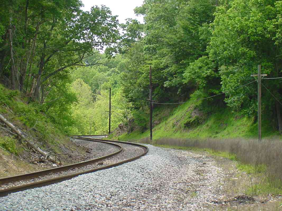
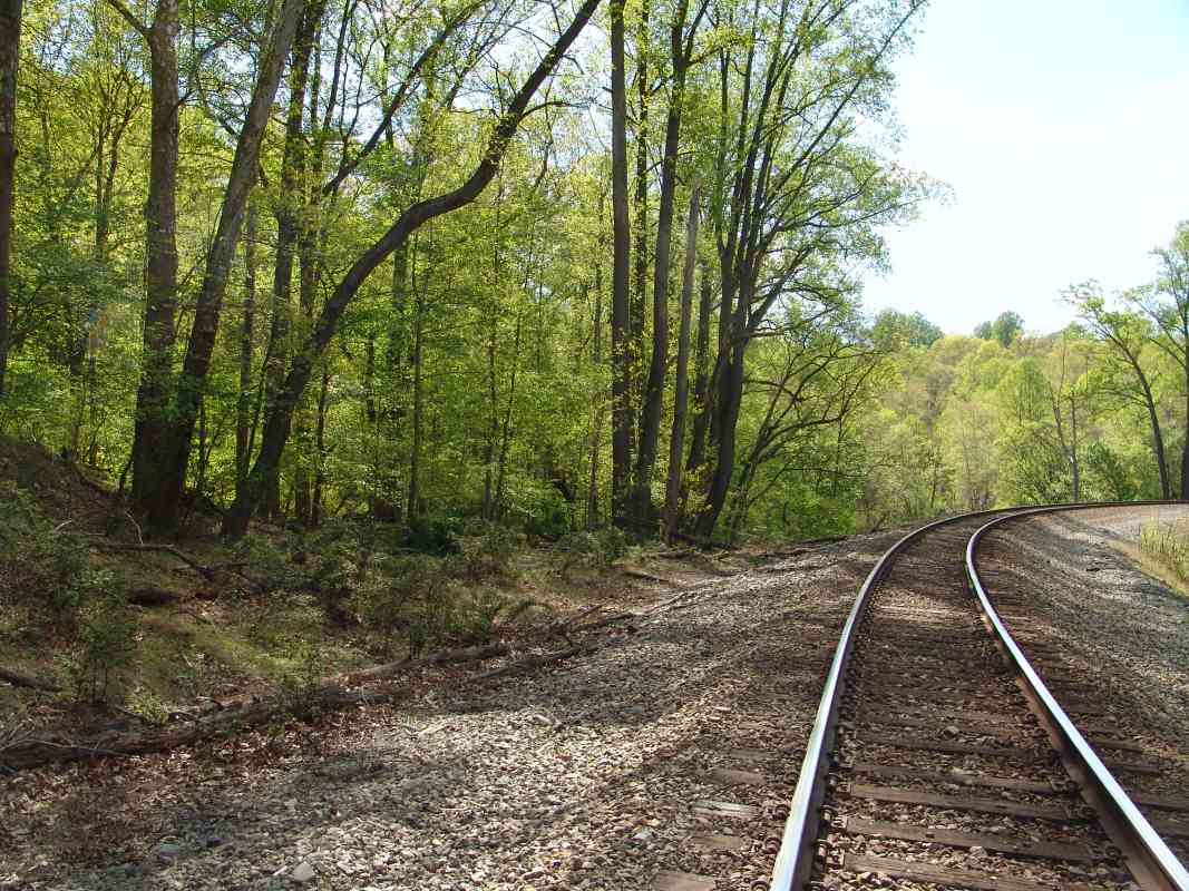
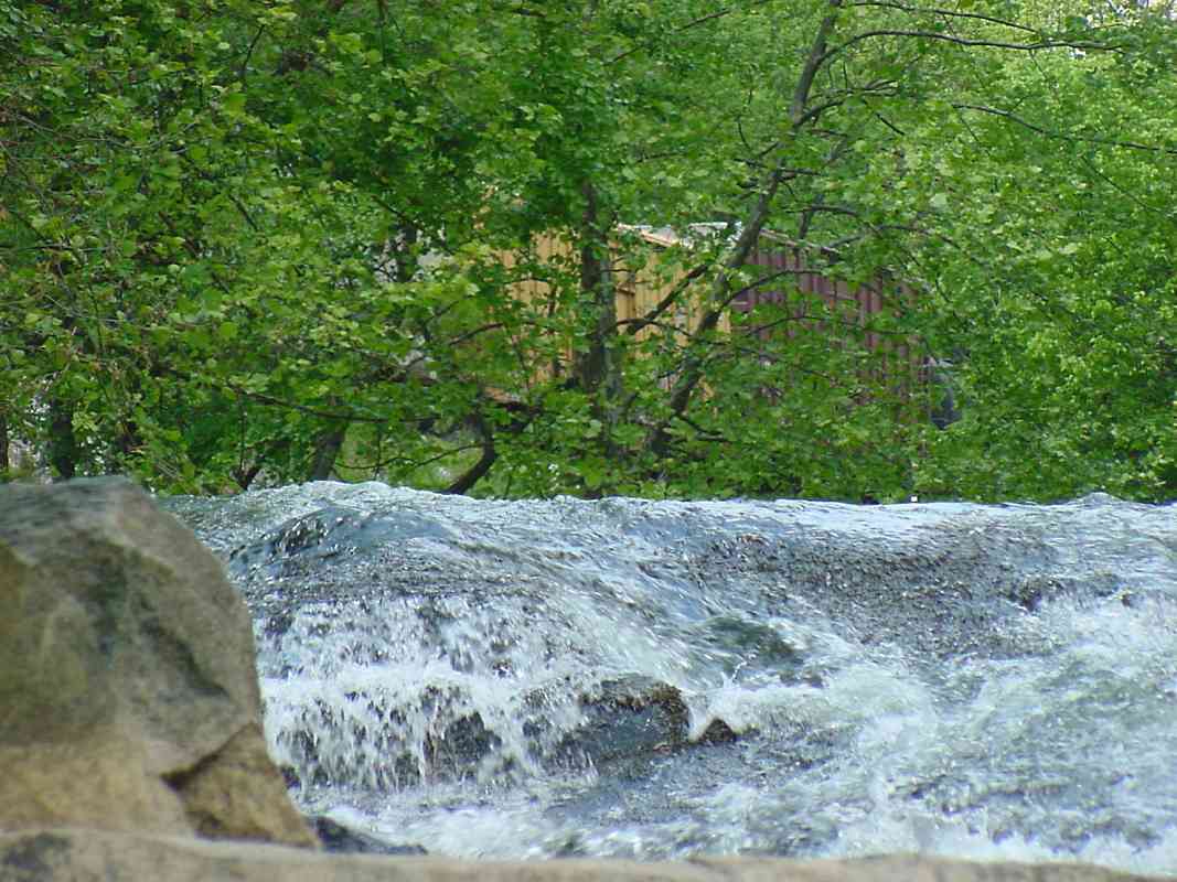
The falls is located straight ahead on the other side of the tracks.
|