TrainWeb.org Facebook Page
PRR / Amtrak Photo Tour


PRR / Amtrak in Maryland
Modern day photo tour

Accompanying each photo below are:

Click a photo to see a larger view. Please send your comments and corrections to Steve.


Special Note: >>> The places described on this page host quiet, high-speed trains. Stay well clear! <<<

<< Previous (branch) | THIS PAGE: North Bowie | Next (branch) >>

Amtrak 616

Amtrak 616
Mile: 118.3 Date: May 2018
Ease: B- View: NE
Area: A T6:
Map: PG 10 B 3 Topographic Maps

Prior to the construction of the Bowie Race Track Branch, the B&P's Arundel Station had stood on the left at a grade crossing for what had been Hick's Mill.


Lemons Bridge
NEW! mid-Feb 2020

Lemons Bridge
Mile: 118.3 Date: Sep 2019
Ease: C- View: SE
Area: A T6:
Map: AA 11 K 12 Topographic Maps

AA Lemons Bridge 
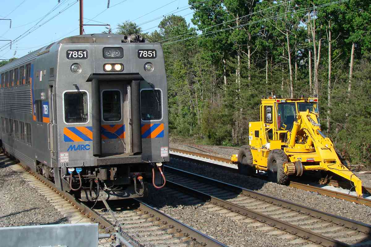
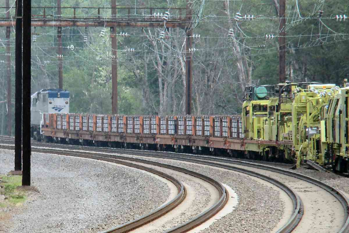
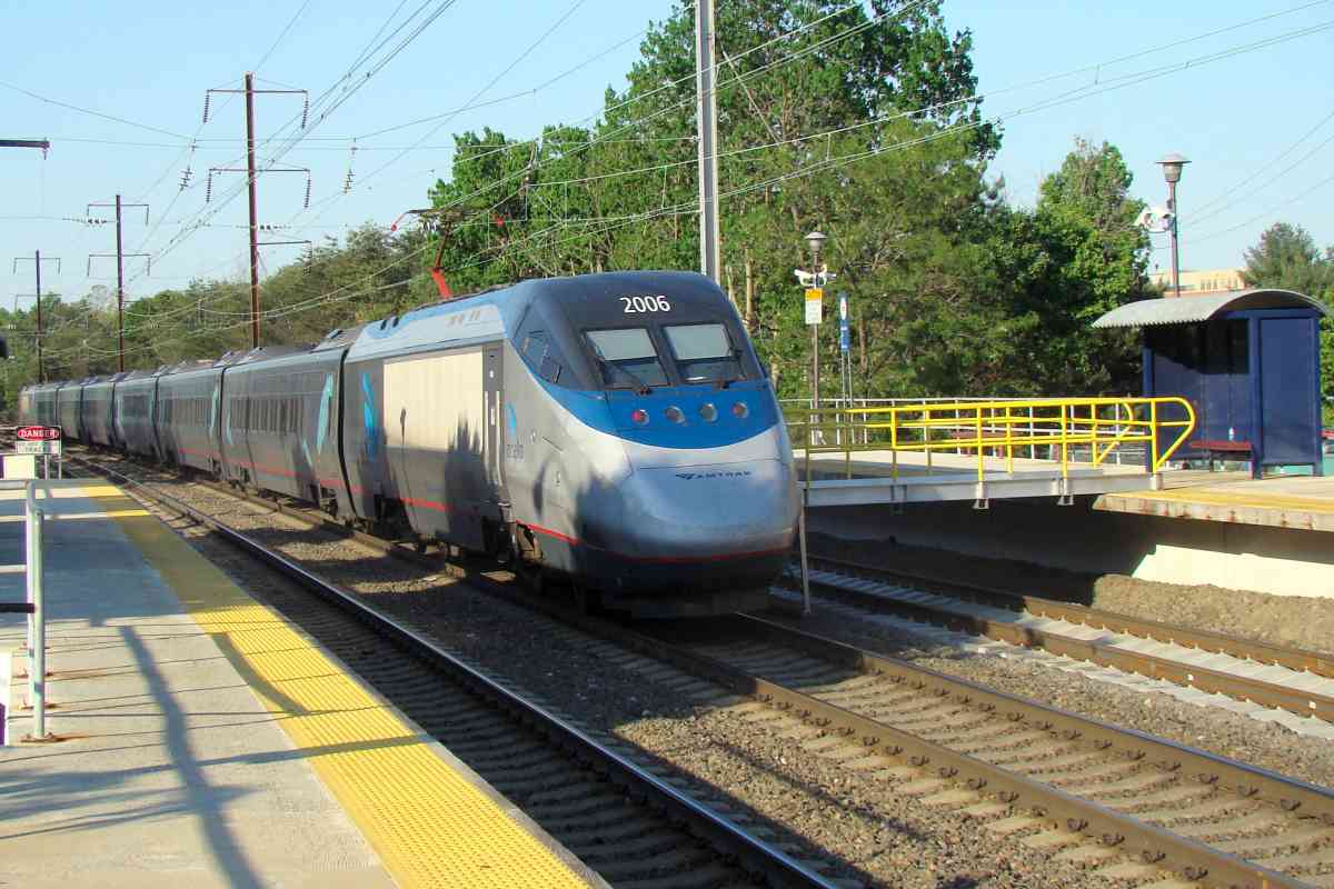
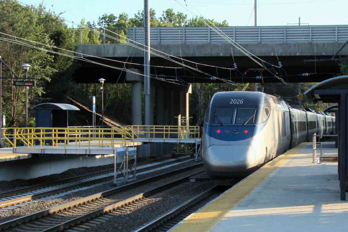
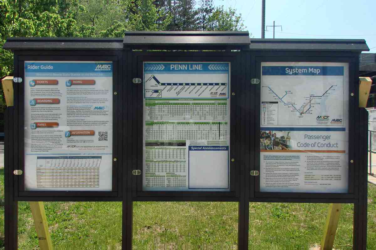
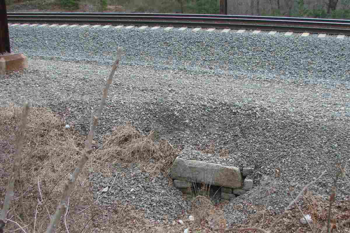
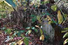
The all-but-gone road from the Hicks Mill grade crossing west to the Patuxent River leads to Lemons Bridge. You will not find (m)any pictures of what's left of Lemons Bridge online because it is a challenge to access. Bring your waders, bug spray, and poison ivy remedies.

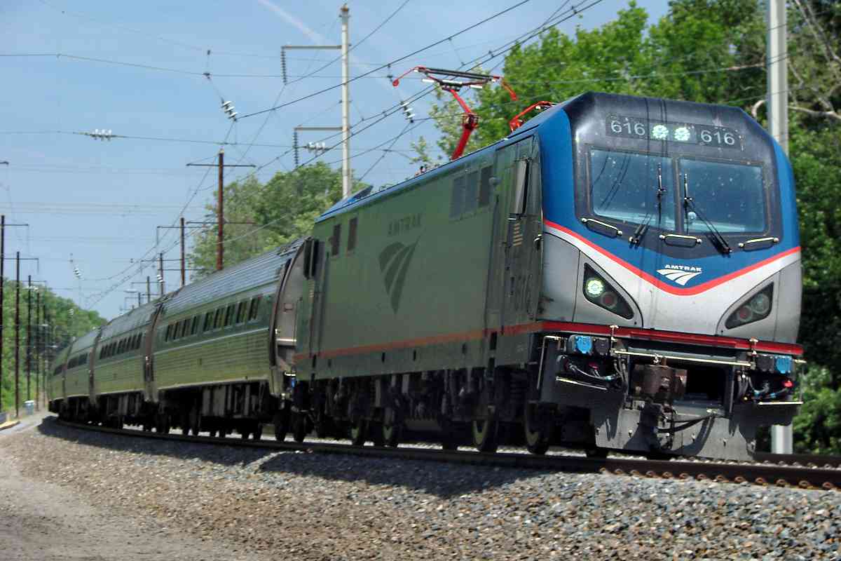
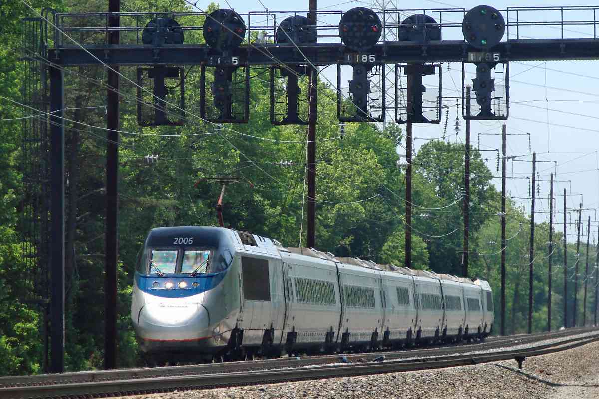
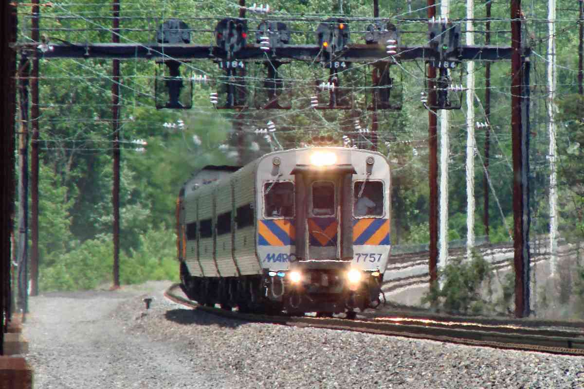
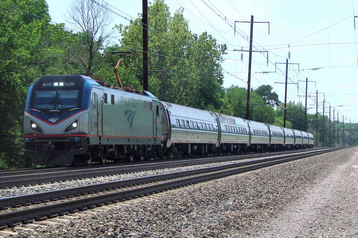
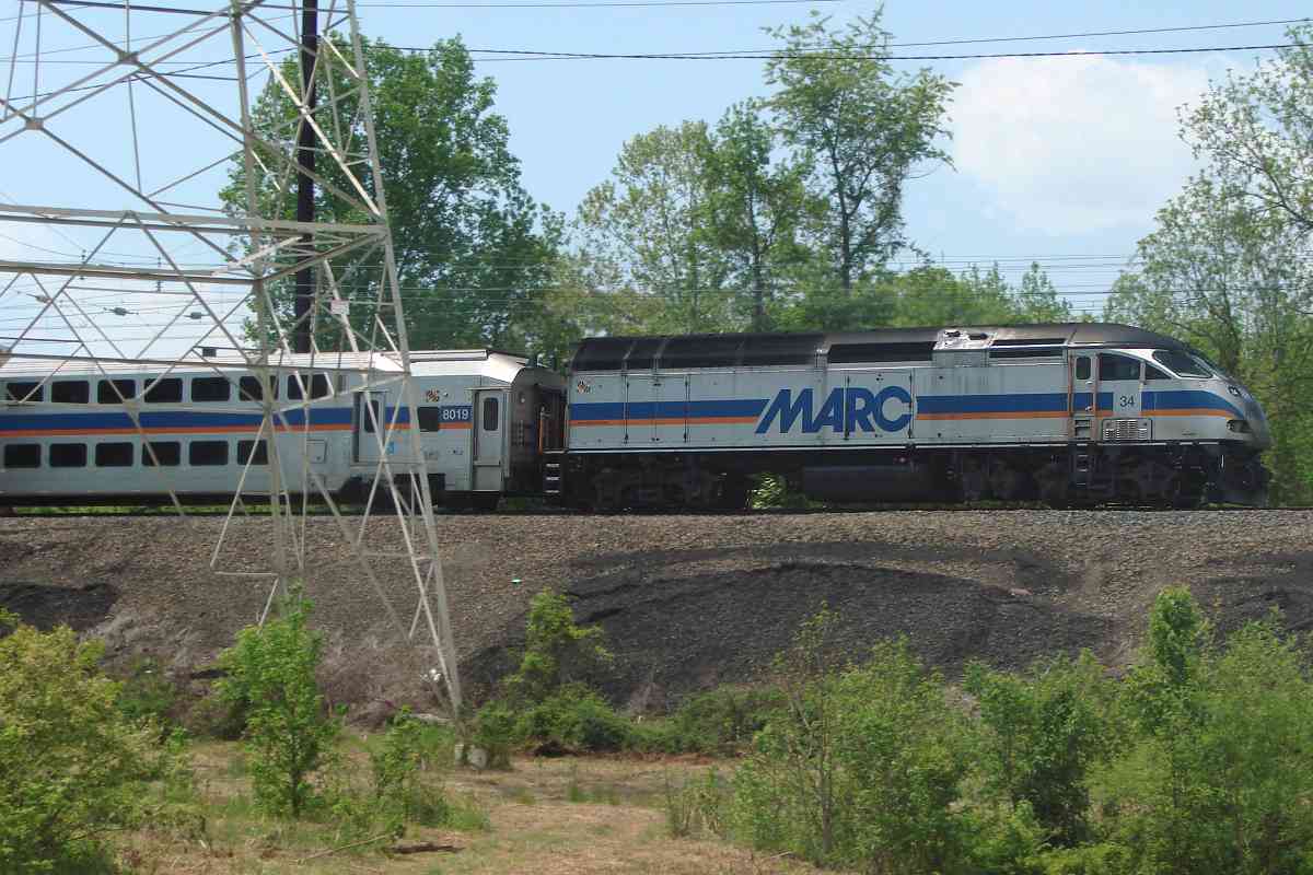
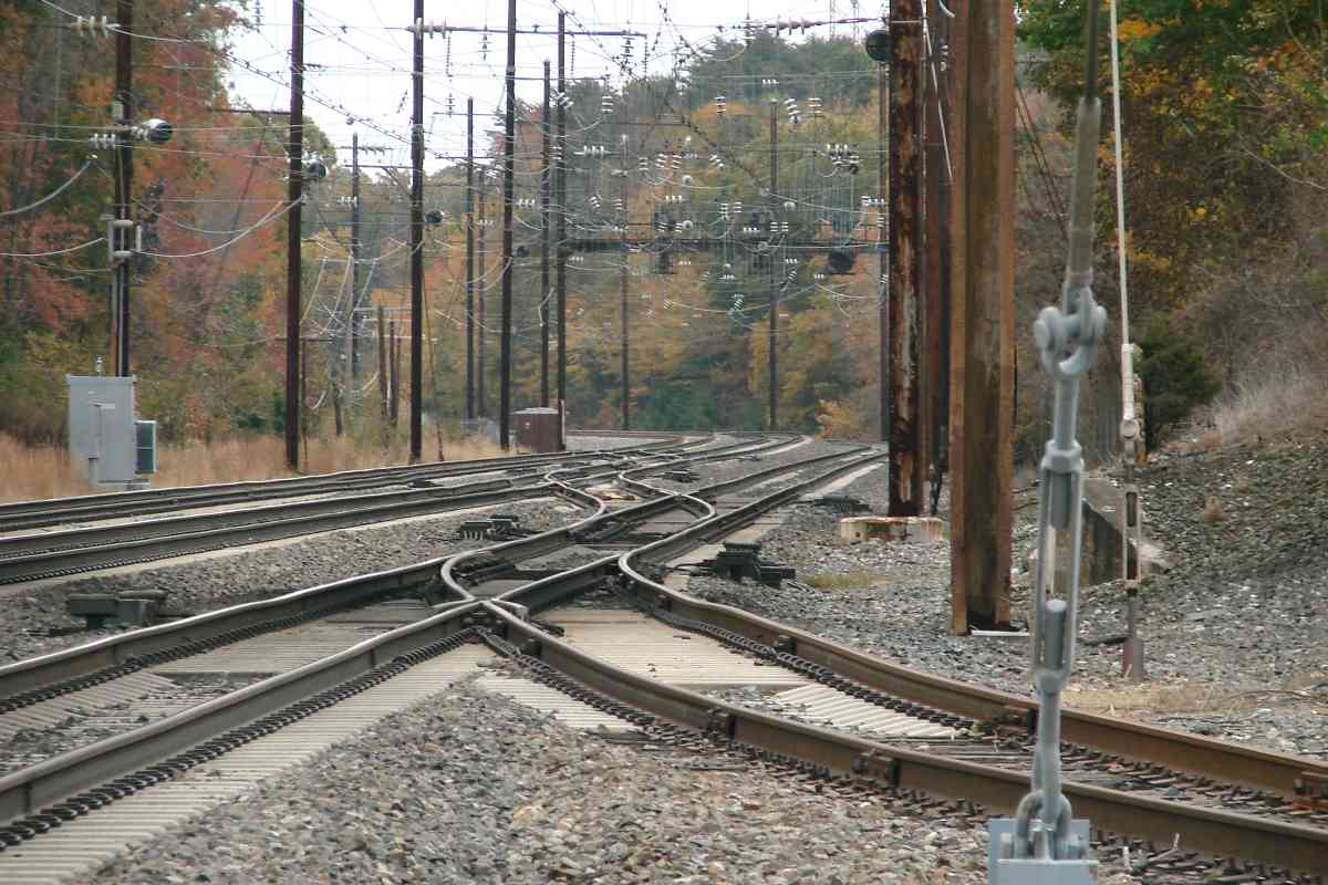
Long before the state got involved in roads, many Patuxent River crossings were identified by name: Greens Bridge, Browns Bridge, Snells Bridge (MD 108), Brock Bridge, Duvall Bridge, Lemons Bridge, Meyers Bridge, Priest Bridge (MD 450 and 3), Governor Bridge, Queen Anne Bridge, among others.


Amtrak 2006

Amtrak 2006
Mile: 118.3 Date: May 2018
Ease: B- View: S
Area: A T6:
Map: PG 10 B 3 Topographic Maps

AMTK 2006 passes under one of the few signal bridges that holds a full complement of signals for both directions.


MARC 7757

MARC 7757
Mile: 118.5 Date: May 2018
Ease: B View: NE
Area: A T6:
Map: PG 10 A 3 Topographic Maps

Very deep zoom makes the track curve back at the Patuxent River appear more severe than it is.


Amtrak 629

Amtrak 629
Mile: 118.6 Date: May 2018
Ease: B View: S
Area: A T6:
Map: PG 10 A 4 Topographic Maps

Northbound AMTK 629 has safely passed several leaning catenary poles.


MARC 34

MARC 34
Mile: 118.7 Date: May 2018
Ease: B View: W
Area: A T6:
Map: PG 10 B 3 Topographic Maps

Brush kept short under power lines opens a nice view to the trains.


Footers

Footers
Mile: 119.0 Date: Feb 2019
Ease: B View: NE
Area: A T6:
Map: PG 10 A 4 Topographic Maps

Those leaning poles might explain why new concrete footers have been installed along the stretch near milepost 119. New poles will follow.


Former Signal Bridge

Former Signal Bridge
Mile: 119.1 Date: Feb 2019
Ease: B View: NE
Area: A T6:
Map: PG 10 A 5 Topographic Maps

Original catenary poles, like this one, are mounted in concrete cubes wires with beveled top edges. Some poles, like this one, have old wires and an adjacent concrete foundation that tell us signals had previously been mounted above.

That's where dangling brackets have been left behind when the signals were repositioned a short distance north. Those brackets suggest there had been two northbound and two southbound signals. Indeed that's the quantity found in the next photo.


Signal Bridge
Photo credit Jim Nowotarski

Signal Bridge
Mile: 119.1 Date: 1970s
Ease: B View: NE
Area: A T6:
Map: PG 10 A 5 Topographic Maps

This photo was snapped before these signals were moved north, and includes an infrequently-seen Amtrak caboose. Amtrak came into existence around the time cabooses were on their way out. From Penn Central Amtrak inherited old cabooses dating to the 1910s and 1920s.

Links: more of Jim's photos, Amtrak cabooses


New Poles
NEW! mid-Feb 2020

New Poles
Mile: 119.1 Date: Jan 2020
Ease: B View: NE
Area: A T6:
Map: PG 10 A 5 Topographic Maps

new vs old About a year after the footers arrived, new catenary poles began to be installed. Much of the work is done at night so as to minimize the disruption to train service.

All the new poles are of the k-frame style, that is, they are connected with their counterpart on the other side of the tracks via a crossbar. Note the rusty pair of old poles AMTK 650 passed a moment earluer are not being replaced, apparently because they already have a crossbar.

The nearest pole on the left has been completed, but its counterpart on the right has not yet received its topmost segment. The new catenary attachment hardware and insulators are different, and labelled as being made in China.


Old Clamp
NEW! mid-Feb 2020

Old Clamp
Mile: 119.1 Date: Jan 2020
Ease: View:
Area: T6:
Map: PG 10 A 5 Topographic Maps

disassembled clamp Original catenary clamps like this are made mostly of copper, likely the same alloy as the wiring. Metals in contact with the powered lines must be chosen carefully because dissimilar metals can promote galvanic corrosion of one of the two.

Judging by color, this verdigrised clamp appears to be a copper alloy similar to that in old bronze pennies (copper and tin) rather than brass (copper and zinc). The 5/8 embossing refers to the diameter of the bolt and nut pair, 5/8ths inches.


Old and New
NEW! mid-Feb 2020

Old and New
Mile: 119.2 Date: Jan 2020
Ease: B View: NE
Area: A T6:
Map: PG 10 A 5 Topographic Maps

zoom Exactly why this stretch is getting new poles remains uncertain. While it could be part of the upgrading to support a fourth track, the old poles had already left room here for that track. Several of the old poles are leaning, as can be seen in this photo by comparing them with the new. That's likely due to the large amount of fill employed here to raise the tracks above the surrounding swampy land. That lean may be the reason for replacement with k-frame poles, which should add support. The old poles were removed and the project completed by the end of 2020.

Lemons Bridge Road, parallel on the left, had been open to vehicles into the early 2000s.


MARC 7753
Photo courtesy Dave Hiteshew

MARC 7753
Mile: 119.4 Date: May 2010
Ease: A- View: NE
Area: A- T6: 347
Map: PG 9 K 5 Topographic Maps

Since these trains often move at high speed, the best chance of capturing two in one photo is from the platform of a station, such as that for Bowie State University.

Before 1982 Jericho Park Road crossed at grade near MARC 7753. That was the location of the PRR's Jericho Park Station that opened around 1910.


Bi-Level
Photo courtesy Dave Hiteshew

Bi-Level
Mile: 119.4 Date: May 2010
Ease: A- View: NE
Area: A- T6:
Map: PG 9 K 5 Topographic Maps

At photo time Track 1 (the far track) was out of service...


Renew
Photo courtesy Dave Hiteshew

Renew
Mile: 119.4 Date: May 2010
Ease: A- View: NE
Area: A- T6:
Map: PG 9 K 5 Topographic Maps

... because it was getting new ties and new rails. Concrete new track ties by the carload extend into the distance, led by AMTK 525. The Northeast Corridor got its first concrete ties during 1978.

Notice in the magnified view how the old rails are picked up and put aside while the reverse is done with the new rails. With the machines, over a mile of track can be renewed in one day. This specialized equipment is not inexpensive: some of these units cost millions of dollars.

Link: 1978


Platform Extenders
Photo courtesy Dave Hiteshew

Platform Extenders
Mile: 119.5 Date: May 2010
Ease: A- View: NE
Area: A- T6:
Map: PG 9 K 5 Topographic Maps

While that track is being worked upon, platform extenders, like the one adjacent AMTK 2006, permit passenger exchange with trains on the middle track.


Laurel-Bowie Road
Photos courtesy Dave Hiteshew

Laurel-Bowie Road
Mile: 119.5 Date: May 2010
Ease: A- View: S
Area: A- T6:
Map: PG 9 K 5 Topographic Maps

The extenders must be moved aside while track work is done underneath. Bright white concrete ties reveal their newness as AMTK 2026 rolls by at reduced speed.

Track positioning at stations must be precise, close enough to minimize the gap between a stopped train and the platform yet distant enough so a rocking and rolling high-speed train does not clip the end corner of the platform. Jericho Park Road

Grade separation of Jericho Park Road happened during the early 1980s, but drivers would need to wait another decade for its renaming upon completion of MD 197, Laurel-Bowie Road, south to MD 450. So, during the time between, this was known as Jericho Park Road, not Jercho Pk.Rd. The other stencil appears to represent Penn Line mile 119.6, the rail distance from Philadelphia.


Tamper
Photo courtesy Dave Hiteshew

Tamper
Mile: 119.5 Date: May 2010
Ease: A- View: S
Area: A- T6:
Map: PG 9 K 5 Topographic Maps

Following not far behind is equipment that measures the levelness of the new track then raises or lowers it as needed.


MoW
Photo courtesy Dave Hiteshew

MoW
Mile: 119.5 Date: May 2010
Ease: A- View: S
Area: A- T6:
Map: PG 9 K 5 Topographic Maps

Track replacement is a never-ending process. There's always some old track somewhere that is due for refreshing.


MARC 4903
Photos courtesy Dave Hiteshew

MARC 4903
Mile: 119.5 Date: May 2010
Ease: A- View: S
Area: A- T6:
Map: PG 9 K 5 Topographic Maps

used rail At left a flagman alerts passing trains to the work. On the right note the ribbon of rail. It might be new and awaiting installation, or old and yet to be picked up from prior replacement work, probably the latter.


Bowie State

Bowie State
Mile: 119.5 Date: 2000
Ease: A- View: SW
Area: A- T6:
Map: PG 9 K 5 Topographic Maps

Bowie State University can trace its origin to the Baltimore Normal School that trained black teachers in Baltimore after the Civil War. During 1911 the school moved here to what had been Jericho Farm; shortly after it was renamed the Maryland Normal and Industrial School at Bowie.

As the school's programs to train teachers expanded, by 1935 it was renamed the Maryland State Teachers College. During the 1960s as degree offerings expanded the school was renamed Bowie State College. U.S. News & World Report has listed Bowie State among the top 25 historically black colleges and universities.

It is the only school in the area to have its own MARC train stop. Jericho Park Station closed when the grade crossing was eliminated during 1981. The station seen here opened in 1989 as a sort of combined replacement for both Jericho Park and Bowie Stations.


Signage

Signage
Mile: 119.5 Date: May 2018
Ease: A View: SW
Area: A- T6:
Map: PG 9 K 5 Topographic Maps

Signage similar to this can be found at all MARC stops.


Walkway

Walkway
Mile: 119.5 Date: Feb 2019
Ease: B+ View: SE
Area: A- T6:
Map: PG 9 K 5 Topographic Maps

At the station under the tracks is this people culvert, aka a walkway.


Speed 110

Speed 110
Mile: 119.5 Date: Feb 2019
Ease: A- View: SW
Area: A- T6:
Map: PG 9 K 5 Topographic Maps

110 mph is the line's highest posted speed between Baltimore and Washington. Missing dots reveal this is button copy, not hole-drilled.

Note there is only one sign, and that it is over the center track. Trains on the other tracks operate at less than 110 while passing through Bowie State Station.


Amtrak 657

Amtrak 657
Mile: 119.5 Date: May 2018
Ease: A- View: SW
Area: A- T6:
Map: PG 9 K 5 Topographic Maps

AMTK 657 is moving at less than 110 but more than fast enough to blow a gust of wind along the platform. In the past at other stations (Capital Beltway was one) Amtrak had employed gauntlet track that positioned non-stopping trains a few feet away from the platform.

Link: gauntlet track at Capital Beltway


Culvert-Henge

Culvert-Henge
Mile: 120.1 Date: Feb 2019
Ease: B View: SE
Area: A T6:
Map: PG 9 J 6 Topographic Maps

culvert Adjacent a modern electric railroad this stone box culvert looks positively paleolithic.

The dry-fit dates it to original B&P construction circa 1870. This is the only surviving mortarless culvert I have found along the Penn Line. There very well may be others, but examples are difficult to find safely.


Amtrak 620

Amtrak 620
Mile: 120.1 Date: Feb 2019
Ease: B View: S
Area: A T6: 348
Map: PG 9 J 6 Topographic Maps

AMTK 620 is northbound under gray, winter skies.


PB&W Marker

PB&W Marker
Mile: 120.5 Date: Nov 2017
Ease: B View: SE
Area: B+ T6:
Map: PG 9 H 7 Topographic Maps

This Philadelphia, Baltimore & Washington Railroad marker labels the Valuation Sections of its track from Baltimore (V.S.4), and the one to southern Maryland (V.S.6), now CSX's Pope's Creek Subdivision. The segment from Bowie to Washington is V.S.5 per a post at the DC border.

The PB&W lettering means the marker dates to after the early 20th Century merger of the B&P and the Philadelphia, Wilmington & Baltimore Railroad; both were under control of the PRR. The shape similarity between this marker and the line's mileposts suggests the latter also date to the PB&W era.

Links: VS marker at DC border, ICC Railroad Valuation Records, Penn Line mileposts


Amtrak

Amtrak
Mile: 120.5 Date: Mar 2019
Ease: A View: NE
Area: B T6:
Map: PG 9 H 7 Topographic Maps

Amtrak's last train to stop at Bowie was the "Chesapeake" on October 30, 1983, but its sign endures. A few years later Bowie was replaced by Bowie State Station currently served by MARC.

Link: Amtrak at Bowie info


Bowie

Bowie
Mile: 120.5 Date: Nov 2017
Ease: B View: NE
Area: B T6:
Map: PG 9 H 7 Topographic Maps

It is difficult to overstate the importance of Bowie to the development of railroading in the Northeast Corridor. That track peeling off to the right, now the Pope's Creek line, originally was to be the B&P's main line to Southern Maryland, but a bit of legerdemain followed...


Main Branch

Main Branch
Mile: 120.5 Date: Mar 2019
Ease: A View: E
Area: B T6:
Map: PG 9 H 7 Topographic Maps

... instead that planned main line devolved into a branch when the PRR exploited a clause in the B&P's charter that permitted the company to build branches 20 miles in any direction, such as from Bowie to Washington, DC. With "main line" and "branch line" never legally defined, the supposed "branch" to DC became the B&P's main line to the nation's Capital, and that's why now Amtrak has a lengthy Northeast Corridor to ply.

On the right Bowie Tower oversees the action, only figuratively now, as part of Bowie's RR museum.

Links: 1967, 1977


Bowie Tower 1974
Photo courtesy Library of Congress

Bowie Tower 1974
Mile: 120.6 Date: ~1974
Ease: View: N
Area: T6: 348
Map: PG 9 H 7 Topographic Maps

For most of the 20th Century Bowie Tower oversaw the action, for real, trackside at the wye.

This tower was originally built in Severn during 1913, then moved to Bowie, perhaps during 1935 when Triumph VI reports Bowie received a new tower. That tower saw active railroad use into the 1980s when Amtrak centralized its operational oversight at Philadelphia. The building is now part of Bowie's railroad museum.

Links: LoC source photo, 1977, Centralized Electrification and Traffic Control 1988


Bowie Station 1900
Photo courtesy Bowie RR Museum

Bowie Station 1900
Mile: 120.5 Date: ~1900
Ease: A View: S?
Area: B T6: 348
Map: PG 9 H 7 Topographic Maps

This station, the first built by the B&P, stood adjacent to and southwest of the tower. The B&P's first train operated on July 2, 1872.


Bowie Museum
Photo courtesy Dave Hiteshew

Bowie Museum
Mile: 120.5 Date: May 2010
Ease: A- View: E
Area: B T6:
Map: PG 9 H 7 Topographic Maps

During the early 1990s the disused tower was moved farther from the tracks and prepped for inclusion within the town's railroad museum.

Link: Bowie RR Museum's web site


N&W Caboose
Photos courtesy Dave Hiteshew

N&W Caboose
Mile: 120.5 Date: May 2010
Ease: A- View: E
Area: B T6:
Map: PG 9 H 7 Topographic Maps

switchboard By year 2000 the town added this restored N&W caboose to the museum, where red, green, and blue made for a Kodachrome Moment.

Born during 1922, this caboose spent a half century following Norfork and Western trains around the eastern United States. It called Bowie home for more than the next 40 years.

Links: Caboose at Allen Pond Park 1973, Historical Marker Database entry


Trail

Trail
Mile: 120.5 Date: Mar 2019
Ease: A- View: E
Area: B T6:
Map: PG 9 H 7 Topographic Maps

At photo time the town had recently opened the first 900 feet of its Bowie Heritage Trail (foreground). Extensions in the works will add several miles to the trail as well as connect to Bowie State University.

Link: trail info


Chessie Caboose

Chessie Caboose
Mile: 120.5 Date: Nov 2017
Ease: A- View: E
Area: B T6:
Map: PG 9 H 7 Topographic Maps

A Chessie caboose is an odd sight within a Pennsy ambit, but it was available at the right price to replace the museum's deteriorating N&W predecessor.

When Bowie wanted the new caboose delivered, during 2017 it called upon Digging and Rigging, who sent Ivan DeMay, the same person who had recently moved a refurbished caboose from the B&O Museum to Mt. Airy.

This tour will resume with a look inside Bowie Tower plus a short trek along the Popes Creek line.

Detour: pics of this caboose's interior


<< Previous (branch) | THIS PAGE: North Bowie | Next (branch) >>

Or, return to main page

Copyright Notice