TrainWeb.org Facebook Page
B&O Photo Tour


B&O Sparrows Point Branch
Modern day photo tour

Accompanying each photo below are:

Click a photo to see a larger view. Please send your comments and corrections to Steve.


<< Previous (west) | THIS PAGE: Canton Junction to Dundalk | Next (east) >>

Octagonal Booth

Octagonal Booth
Mile: 1.1 Date: Nov 2016
Ease: B View: SE
Area: C+ RBL: 77 (booth)
Map: Ba 44 A 3 Topographic Maps

booth The SPB is the closest track, the others lead to Penn-Mary Yard that CSX and the Canton Railroad share, as well as a separate Canton Yard that Norfolk Southern calls its own. Beyond both I-895 and I-95 do their thing above the trains and sparse local streets.

A century ago, decades before radio-equipped engines became the norm, these octagonal concrete booths for crews to phone home (talk to the dispatcher) were a dime a dozen but now only three such stragglers can be found in the Baltimore area. Though stripped of its wiring long ago, this one remains in better condition than the example at the B&O Museum.


Newkirk Street

Newkirk Street
Mile: 1.2 Date: Nov 2016
Ease: A- View: E
Area: C+ RBL:
Map: Ba 44 A 3 Topographic Maps

useless Imagine the traffic jams in Flatland. Fortunately we 3-d humans are permitted one extra dimension (at least) to stack things: I-95 on top, I-895 next, and the SPB plus local streets on the bottom. Time grants a fourth dimension. "Vehicle collisions: when even four dimensions aren't enough."

The SPB's track number 1 has been disconnected from the curving Penn-Mary lead on the right, and no longer crosses Newkirk Street. Maybe someone should tell its dwarf signal a red light is no longer necessary.

Cinematic note: in Enemy of the State Brill's hideout was filmed at the intersection of Newkirk and Boston Streets, about 1500 feet to the left. The chase in the coal yard took place about the same distance to the right.

Link: Flatland at Wikipedia


Diamonds

Diamonds
Mile: 1.3 Date: Nov 2016
Ease: A- View: E
Area: C+ RBL:
Map: Ba 44 A 3 Topographic Maps

Given the number of railroads that competed to serve the ports of Baltimore it is surprising there are not more track diamonds. This pair is one of only two I've found extant.

Link: 2014


Penn Mary Yard Junction

Penn Mary Yard Junction
Mile: 1.3 Date: Nov 2016
Ease: A- View: S
Area: C+ RBL:
Map: Ba 44 A 3 Topographic Maps

Though as of 2016 the single track still had operating CPL signals (!) it is not used by CSX but rather by the Canton Railroad to serve businesses parallel but east of the SPB toured so far. The railroad names this location Penn Mary Yard Junction; the view looks toward Penn Mary Yard.

Change for: Canton Railroad tour


Holabird Avenue

Holabird Avenue
Mile: 1.4 Date: Jul 2016
Ease: A View: S
Area: C+ RBL:
Map: Ba 44 A 3 Topographic Maps

At Holabird Avenue the SPB gives up all pretenses of being double tracked. The water tower is the same one seen from a different angle in the next photo. The even more distant cranes unload cargo ships at Seagirt Marine Terminal, filming location of port activity in Season 2 of The Wire.

Link: Night Shift gets a shout out in The Wire


Amazon

Amazon
Mile: 2.1 Date: Nov 2016
Ease: A View: W
Area: B RBL:
Map: Ba 44 C 4 Topographic Maps

Amazon grin You can thank these warehouses for why you pay sales tax in Maryland when you buy from Amazon. Though Amazon's cheshire grin would befit CSX's Chessie cat mascot, most (all?) of the goods are trucked in and out, and perhaps even ride a conveyor (distance) over the rails. The five tracks previously here have been clawed down to one; the disturbed ballast left of the track reveals the most recent casualty.

When originally built by the B&O around 1890, the Sparrows Point Branch ended here where it exchanged traffic with the private Baltimore & Sparrow's Point Railroad that served the then-new Pennsylvania Steel Company's mill at the Point. The B&O extended the SPB when World War I triggered an expansion of the US military which then appropriated this area for a training camp.


Sidings

Sidings
Mile: 2.1 Date: Nov 2016
Ease: A View: E
Area: B RBL:
Map: Ba 44 C 4 Topographic Maps

Beyond GM's blue bridge, Walkers Spur (left) serves/served All Freight Distribution, Krafor Unlimited and Polytech Inc. The large hexagonal sign on the left is likely a Stop, Dismount instruction to crews due to limited clearance on the adjacent siding. Camp Holabird

Formerly the area on the right hosted a General Motors auto assembly plant, and before that Camp Holabird, the US Army's first motor transport training center, where my grandfather was stationed for three years. Later it was known as Fort Holabird. "Named for Quartermaster General Samuel B. Holabird (1826-1907) and established in 1917 as the Army's first motor transport training center and depot. Supplied World War I American Expeditionary Forces in France with Detroit-made vehicles. Trained thousands to drive and repair automobiles and trucks. By 1920 a center for the research and development of military vehicles. Here the Jeep, a World War II icon was tested and refined. Housed the Army Intelligence School from 1945 until closure in 1972."


Stuck Truck

Stuck Truck
Mile: 2.2 Date: Nov 2016
Ease: A View: S
Area: C+ RBL:
Map: Ba 44 C 4 Topographic Maps

No, this truck is not stuck, but had the B&O's Department of Dastardly Deeds been a bit more dastardly here it might have kept out the hauling competition. At photo time, Amazon had not yet converted this bridge over Broening Highway from GM blue to Amazon purple.

Anyone familiar with Martin Gardner's puzzles knows how a young boy solved the problem of a truck wedged under a low bridge. ("Let some air out of its tires.")


Beckley Street

Beckley Street
Mile: 2.9 Date: Jul 2016
Ease: A View: N
Area: B RBL:
Map: Ba 44 D 4 Topographic Maps

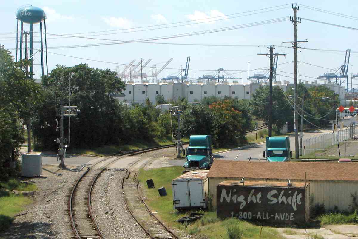
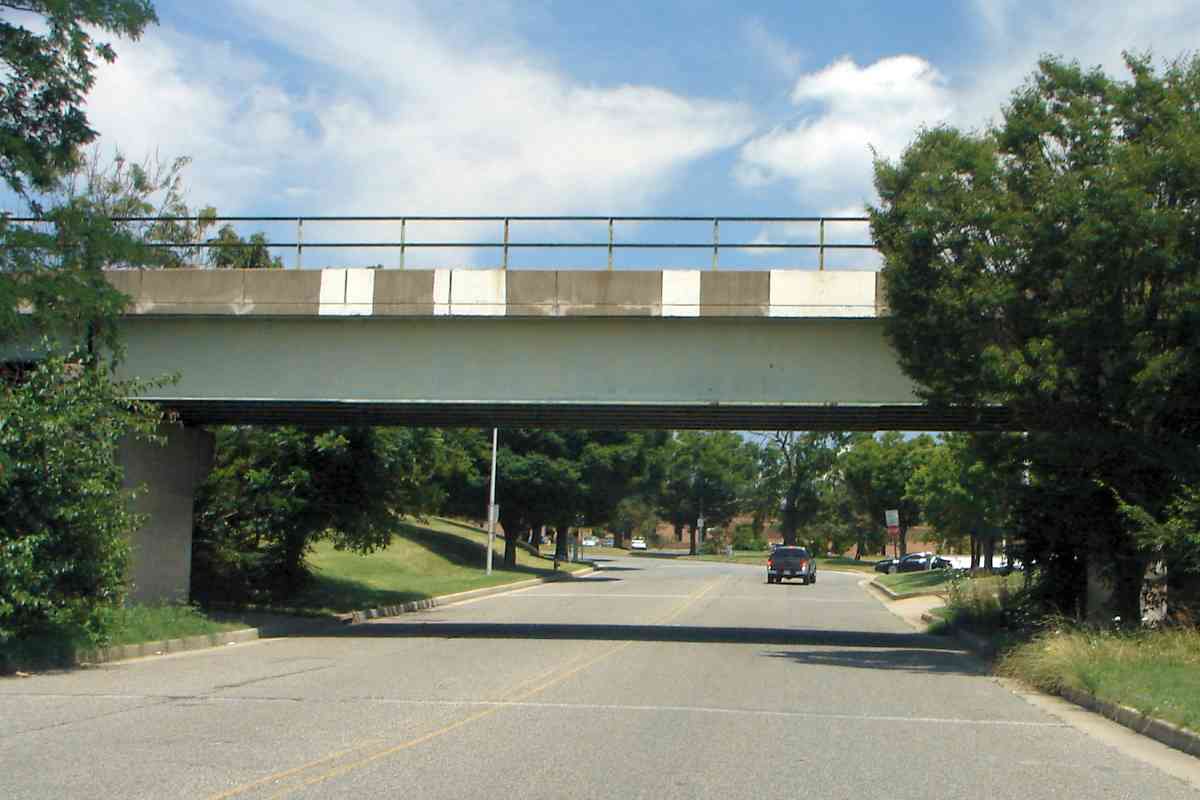
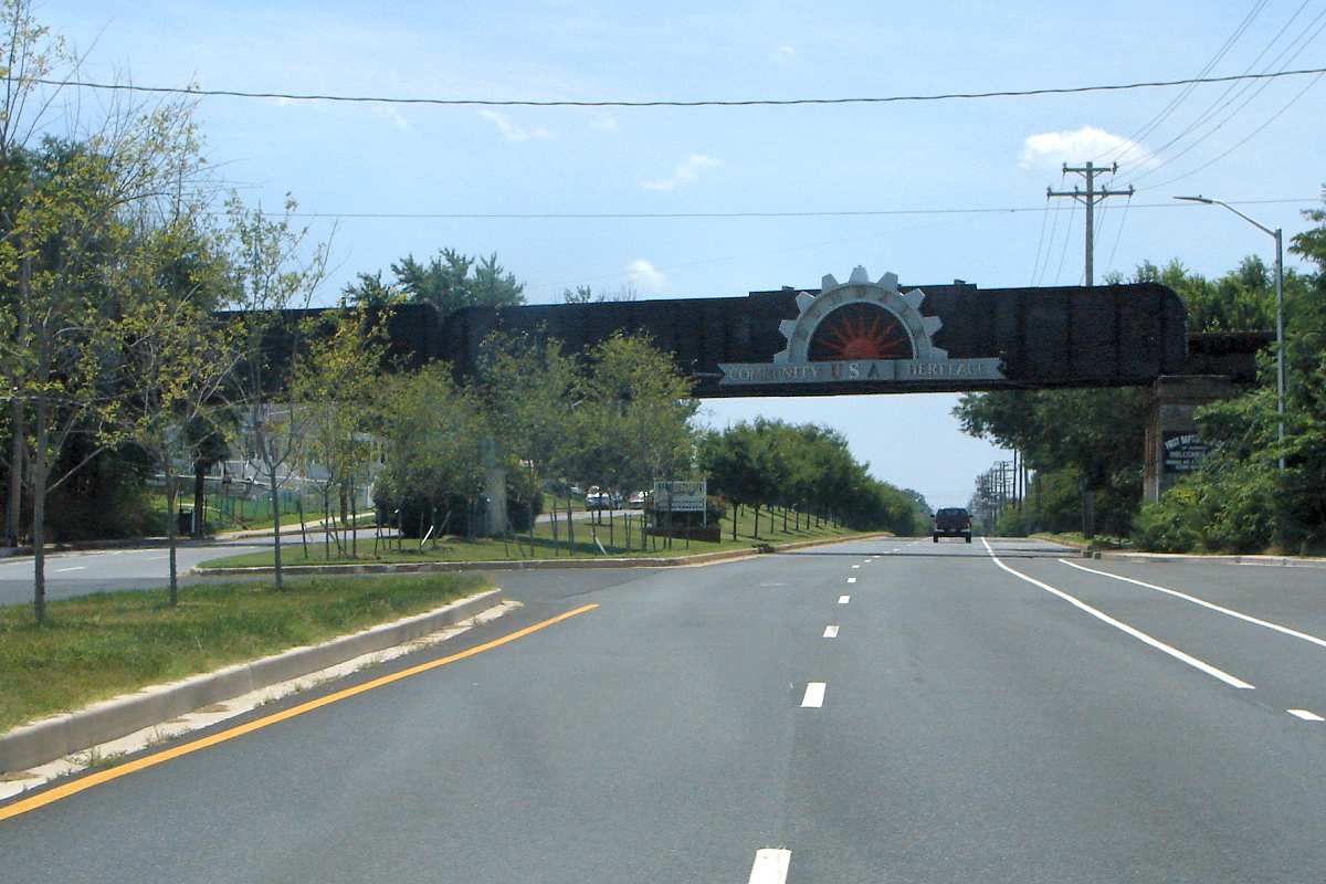
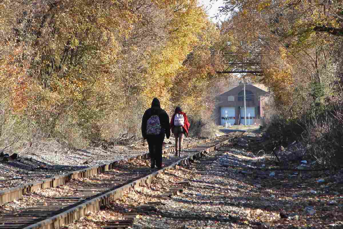
The middle of a group of three proximate SPB bridges spans the quietest of the roads.

In past decades high, feathery cirrus clouds were less common during summer months. The amount of cirrus has increased with the number of jet flights. While airplanes were grounded for a few days post 9-11, the quantity of cirrus diminished, and US temperatures temporarily fell back to near their pre-global-warming levels.

Similar happened during March and April 2020 when the covid-19 outbreak greatly dimished travel by air. Global temperatures both months were only a small amount warmer than their 30-year normals, and a smaller amount warmer than the preceding months had been. This suggests aircraft aerosols contribute more to climate change than does CO2. The easy short-term solution is for planes to fly at lower altitudes.

Per the NASA study linked below, "This result shows the increased cirrus coverage, attributable to air traffic, could account for nearly all of the warming observed over the United States for nearly 20 years starting in 1975..."

Link: NASA links warming to jet flights


Dundalk Avenue

Dundalk Avenue
Mile: 3.0 Date: Jul 2016
Ease: A View: SE
Area: B RBL:
Map: Ba 44 E 3 Topographic Maps

The wide Dundalk Avenue receives the longest bridge. The sign reads "Dundalk Community USA Heritage". Roads, rails, and the border between Baltimore City and County all intersect here.

Before grade separation around 1920, Dundalk Avenue was named Carnegie Avenue and Pittsburgh Avenue. The grade crossing was about 500 feet south of this bridge. The street now named Crossway occupies some of the prior railroad alignment.


Willow Springs

Willow Springs
Mile: 3.2 Date: Nov 2016
Ease: A View: SE
Area: B- RBL:
Map: Ba 44 E 4 Topographic Maps

At Willow Springs Road the Frankford Siding splits off and feeds a lead into the Willow Springs Plant unseen at right. Whiskey distillation began here in 1936 by the Frankfort Distillery Company. Approximately 1960 the plant was acquired by the Joseph Seagram Company, and then Montebello Distillery around 1990.

The Seagram Company's checkered history caught up with it after heirs over-extended the company into oil, chemicals, and entertainment. Within 20 years that conglomeration split apart, with most of the beverage assets going to the Coca-Cola Company.

Link: Dundalk distilleries


Embossed

Embossed
Mile: 3.2 Date: Nov 2016
Ease: A View: SE
Area: B- RBL:
Map: Ba 44 E 4 Topographic Maps

closeup As of this writing the distillery is not operating but several old, embossed RR crossing signs remain on duty along with a custom pole that previously held warning lamps.

Most embossed signs of this type date from before 1970.


BPR

BPR
Mile: 3.8 Date: Nov 2016
Ease: A- View: NW
Area: B RBL:
Map: Ba 44 F 5 Topographic Maps

Just down the road had been Baltimore Pure Rye, a name that still appears on its brick smokestack even though this distillery too was acquired by Seagram. Though hidden by fall foliage, it also had/has a disused rail siding and lead into the heart of the facility.

Link: BPR smokestack


School Bridge

School Bridge
Mile: 4.0 Date: Nov 2016
Ease: A View: NE
Area: B RBL:
Map: Ba 44 G 5 Topographic Maps

The railroad separates a Dundalk high school and community college from much of the populace, so SPB Bridge Number 3 encourages students to avoid the tracks...


Invincible

Invincible
Mile: 3.8 Date: Nov 2016
Ease: A- View: SE
Area: B RBL:
Map: Ba 44 F 5 Topographic Maps

... but when you're 18 you're gonna live forever. In all fairness, while the Sparrows Point steel plant is closed and being transformed, train activity along this line is minimal.

Link: local effects of steel mill closure


Sollers Point Road

Sollers Point Road
Mile: 4.2 Date: Nov 2016
Ease: A View: N
Area: B RBL:
Map: Ba 44 G 5 Topographic Maps

Near the Sollers Point Road grade crossing you can find buildings of a "Moose Lodge", "Knights of Columbus", and "International Association of Bridge, Structural, Ornamental, and Reinforcing Ironworkers Local 16 AFL-CIO". Something tells me we're getting closer to the (former) Bethlehem Steel Factory.

Four US Presidents were members of the Loyal Order of Moose: Theodore Roosevelt, Warren Harding, Franklin Roosevelt, and Harry Truman.


Merritt Boulevard

Merritt Boulevard
Mile: 4.2 Date: Nov 2016
Ease: A View: SE
Area: B RBL:
Map: Ba 44 G 5 Topographic Maps

At Merritt Boulevard the automobile traffic signal relays to train operators the status of a nearby signal. The only other place I've seen such use is Waterview Avenue along the South Baltimore Branch.


Final Semaphore (site)

Final Semaphore (site)
Mile: 5.2 Date: Nov 2016
Ease: A- View: SE
Area: B+ RBL:
Map: Ba 44 J 6 Topographic Maps

The very last operational semaphore signal in Maryland endured here at the Chesterwood Road grade crossing until this replacement arrived during 2004. Anyone have a photo of that semaphore to share here?

This is the only single-lamp signal I have found in the Baltimore area. The APP sign means this is an approach signal; in this case it alerts the train operator a signal is ahead despite this being an otherwise non-signalled territory.

What unusual item lies ahead will be revealed in the next page of this tour.


<< Previous (west) | THIS PAGE: Canton Junction to Dundalk | Next (east) >>

Or, return to main page

Copyright Notice