TrainWeb.org Facebook Page
B&O Photo Tour


B&O Sparrows Point Branch
Modern day photo tour

Accompanying each photo below are:

Click a photo to see a larger view. Please send your comments and corrections to Steve.


<< Previous (west) | THIS PAGE: Dundalk to Sparrows Point | End of tour || main index

Deep Zoom

Deep Zoom
Mile: 5.5 Date: Nov 2016
Ease: A View: NW
Area: A- RBL:
Map: Ba 44 K 7 Topographic Maps

I've long been fascinated by deep zoom rail photos. This one looks back from a Stansbury Road grade crossing to the single-lamp signal at Chesterwood Road, then over a mile to the Sollers Point Road grade crossing seen on the prior tour page. Unevenness of the rails jumps out in such long-distance views.

A 1927 aerial photo hints a bridge had been present at the distant low spot marking a tidal estuary. Since then the area around has been landfilled and the bridge (if there was one) has been replaced by a dual-piped culvert.


Last CPL

Last CPL
Mile: 5.6 Date: Nov 2016
Ease: A- View: SE
Area: A- RBL:
Map: Ba 44 K 7 Topographic Maps

Like the last semaphore, the Sparrows Point Branch appears destined to have the last CPL. I suspect a special set of regulations applies to swing bridges and, lucky for us, that delays changing the signals guarding them.

Finials like that atop this CPL pole represent pre-1950 B&O installation, which means this signal is older than the bridge ahead which was rebuilt into its current form during 1967.


Bear Creek

Bear Creek
Mile: 5.7 Date: Nov 2016
Ease: A- View: SE
Area: A- RBL:
Map: Ba 45 A 7 Topographic Maps

The sign on this structure reads CSX Transportation Bear Creek River Bridge.

This is one of only two operational railroad swing bridges in the Baltimore area. The other spans Curtis Creek.

Link: 2022


Hut

Hut
Mile: 5.7 Date: Nov 2016
Ease: A- View: SE
Area: A- RBL:
Map: Ba 45 A 7 Topographic Maps

box The exposed-to-the-elements bridge control hut looks appropriately weathered.

Fresher looking is this circuit box at the end of the west bridge stub. BAL is CSX's code for the Sparrows Point Branch, and 6.00, well, it's the milepost on the other side of the creek. A mile value of 5.8 would be closer to the truth here.

Link: drone video


Reverse View

Reverse View
Mile: 5.9 Date: Dec 2016
Ease: B- View: NW
Area: C RBL:
Map: Ba 45 A 8 Topographic Maps

side view The east side CPL is right at the water's edge. Like its sibling on the other side, it has just 2 pairs of lamps: stop and restricting. This signal is the easternmost one on the line.

The view is easier from Peninsula Expressway. This swing bridge can also been seen from the I-695 (technically MD 695) Baltimore Beltway's Bear Creek crossing, though you'll be looking from a mile away.


Milepost 6

Milepost 6
Mile: 6.0 Date: Dec 2016
Ease: B- View: SE
Area: C RBL:
Map: Ba 45 A 8 Topographic Maps

The real milepost 6 stands up here. The switch ahead splits traffic entering what was renamed Northern Interchange Yard by its new owner.

Should you visit, be aware the woods on this side of Bear Creek appear to have become populated by homeless, some perhaps ex-steel-mill workers.


Shared Yard

Shared Yard
Mile: 6.0 Date: Dec 2016
Ease: B- View: SW
Area: C RBL:
Map: Ba 45 A 8 Topographic Maps

The names on this switch reveals the shared nature of the yard ahead where Class 1 railroads such as the B&O hauled interchange loads in and out. The track between this yard and Bethlehem Steel was the purview of the Patapsco & Back Rivers Railroad (PBR) a private operation controlled by Bethlehem Steel. The last PBR steam locomotive operated during 1947.

Names were added to the switch housing during the period between the days of the B&O and successor CSX, when the amalgam of the B&O, WM, and C&O were known as the Chessie System. The Western Maryland endured as a quasi-separate entity until 1987, and Conrail began operating during 1976, so the painted names likely date to around 1980.

Link: PBR pics


Grays Yard

Grays Yard
Mile: 6.1 Date: Dec 2016
Ease: B- View: SE
Area: C RBL:
Map: Ba 45 A 8 Topographic Maps

The new owner, Tradepoint Atlantic, is transforming the Bethlehem Steel site into mew uses. Before they renamed this yard, it was know as Grays Yard. At over a mile in length, Grays Yard is a behemoth that reveals how busy the steel plant had once been.

Aerial photos from the 1930s (below) show Grays began as two small yards of about 2000 feet each with room for about 4 trains. By the 1950s the yard had expanded to its current form. WW II might have been the impetus.


1938 Aerial
Photo via Johns Hopkins University

1938 Aerial
Mile: Date: Apr 1938
Ease: View: N (up)
Area: RBL:
Map: Ba 45 Topographic Maps

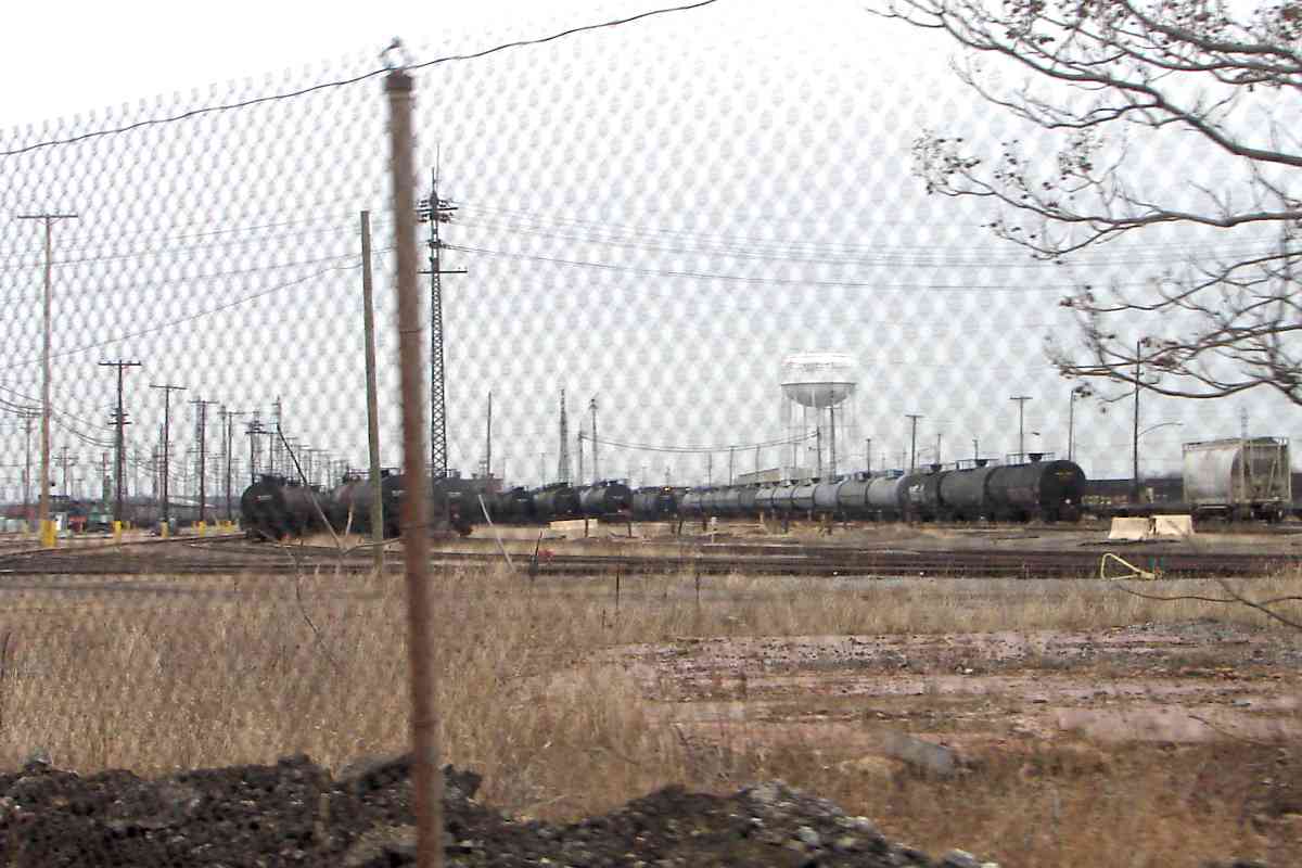
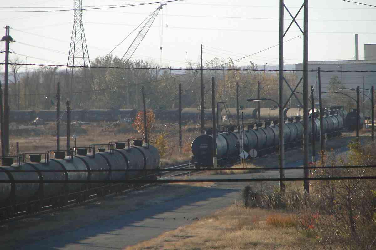
To reach the then-new steel mill, during the late 1800s the PBR's predescessor, the Baltimore & Sparrow's Point Railroad Company, built to the mill from Colgate Creek (near Fort Holabird), along what become Broening Highway, then across Bear Creek from Coffin Point to Lloyd Point. 
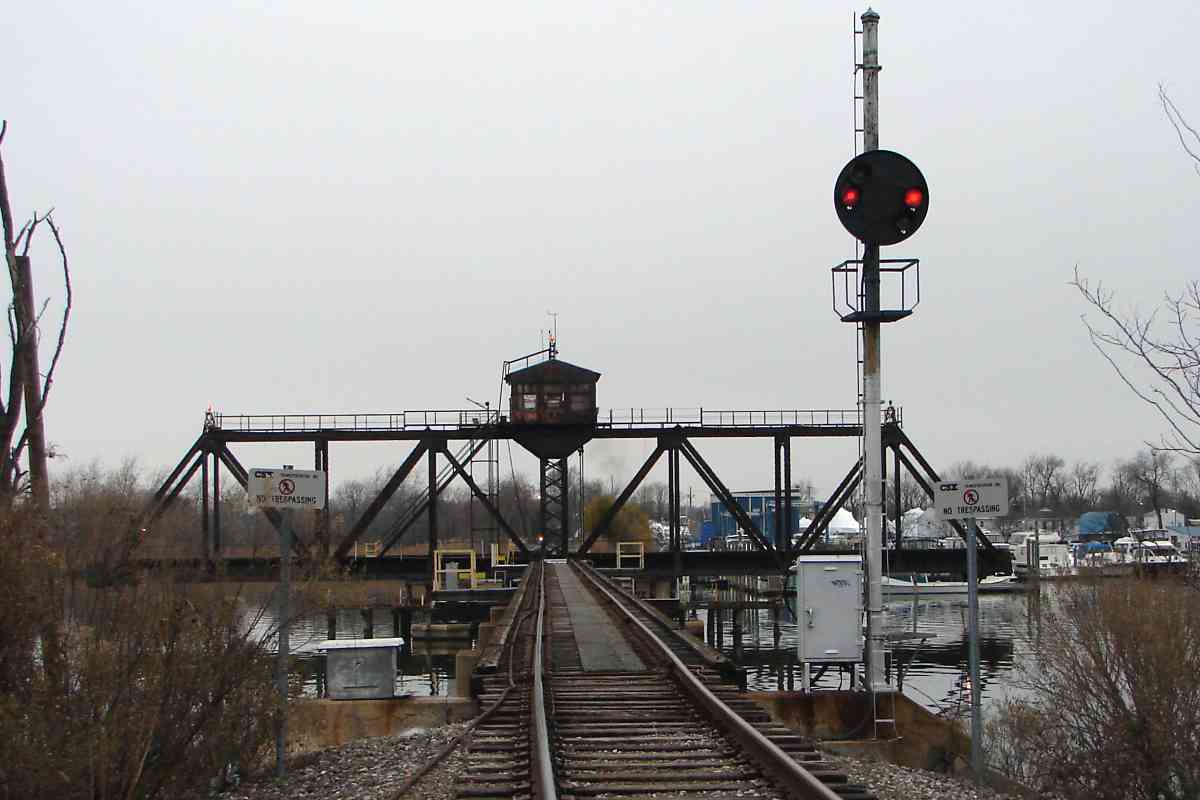
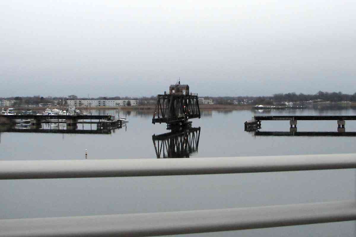
Its bridge, the leftmost one in this photo, was purchased by the Northern Central, the remnants of which are now part of Norfolk Sourthern. bridges courtesy Todd Sestero

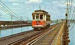
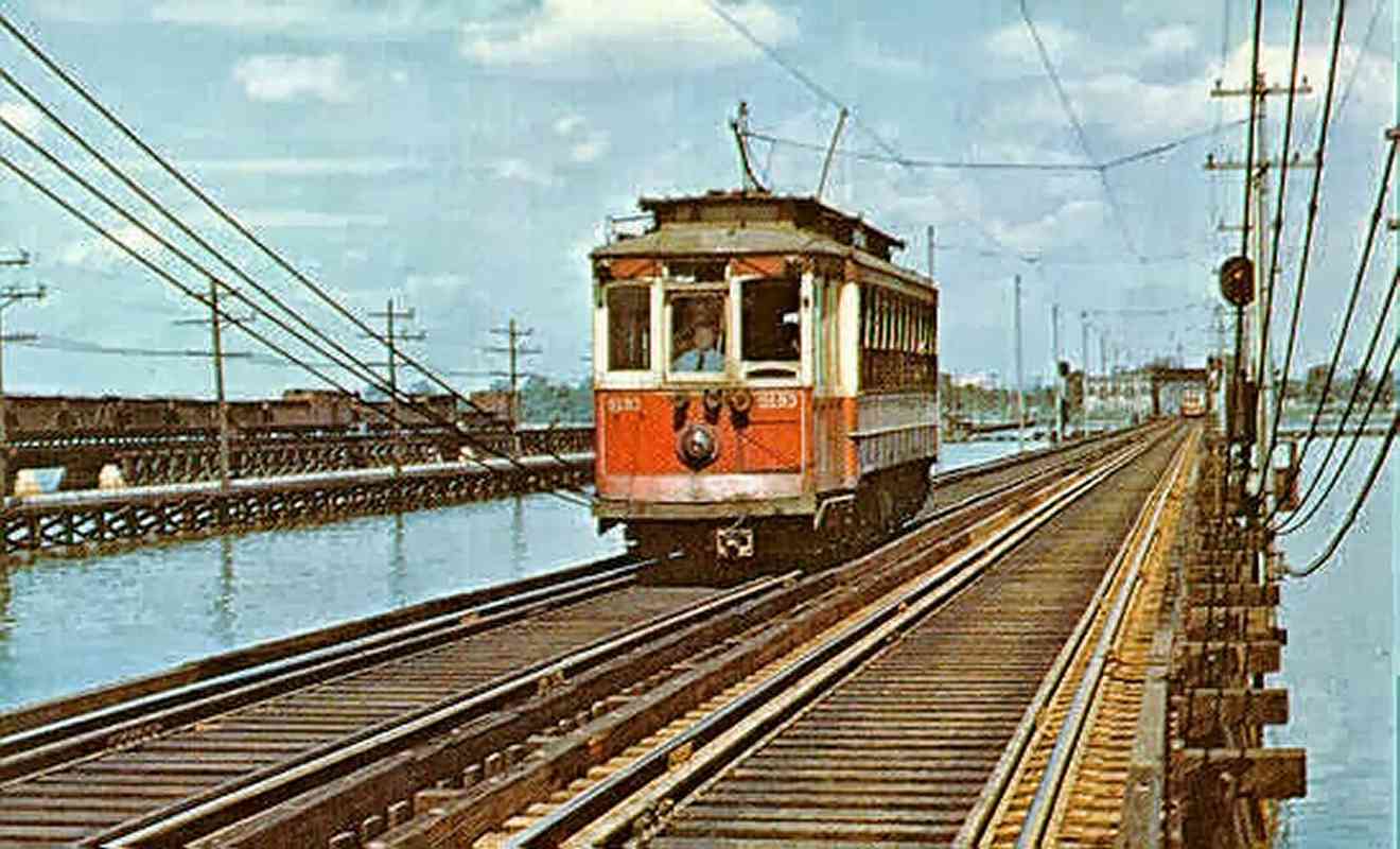
Two other bridges were added parallel: one for a pipeline, and the other double tracked for Baltimore Streetcar line 26 that operated until 1958. 
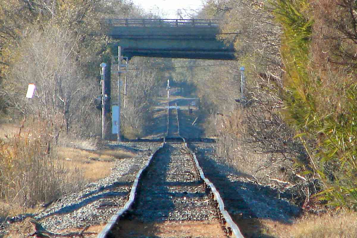
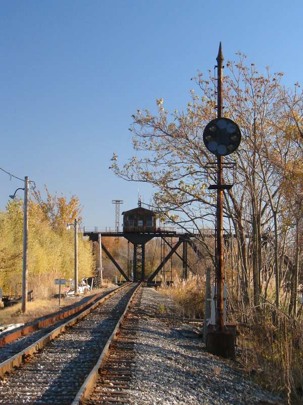
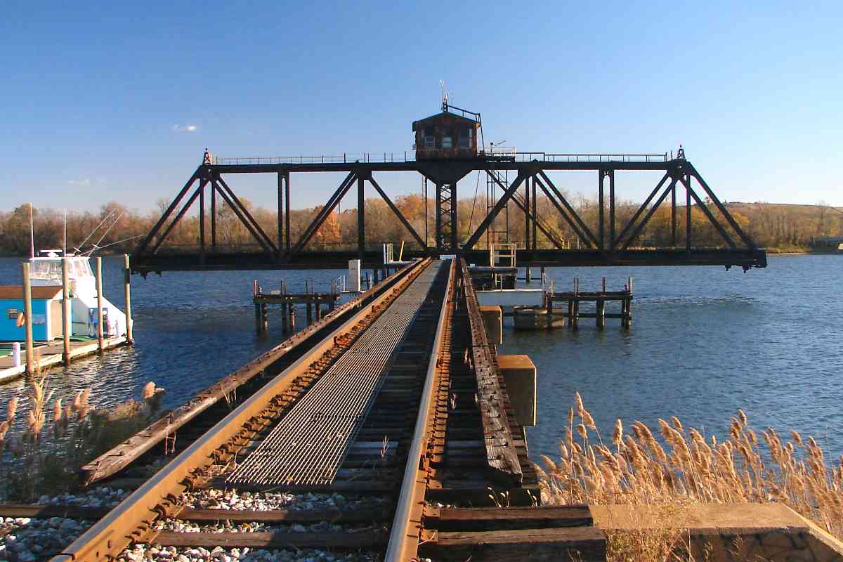
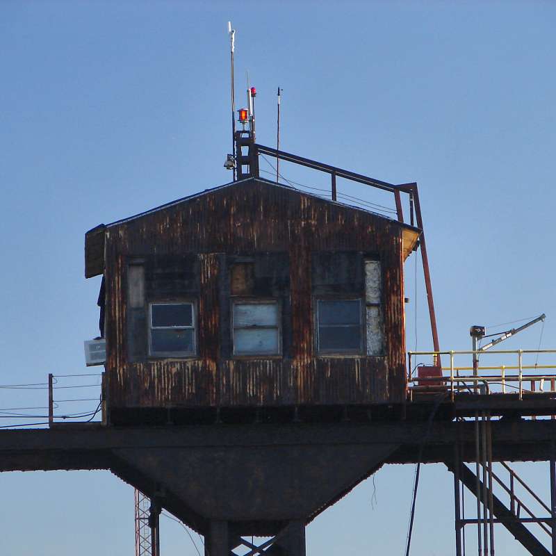
Like the B&O line, the two rail bridges had a swing mechanism to permit boats to pass. The photo at left, courtesy Todd Sestero, looks northwest toward Baltimore City.

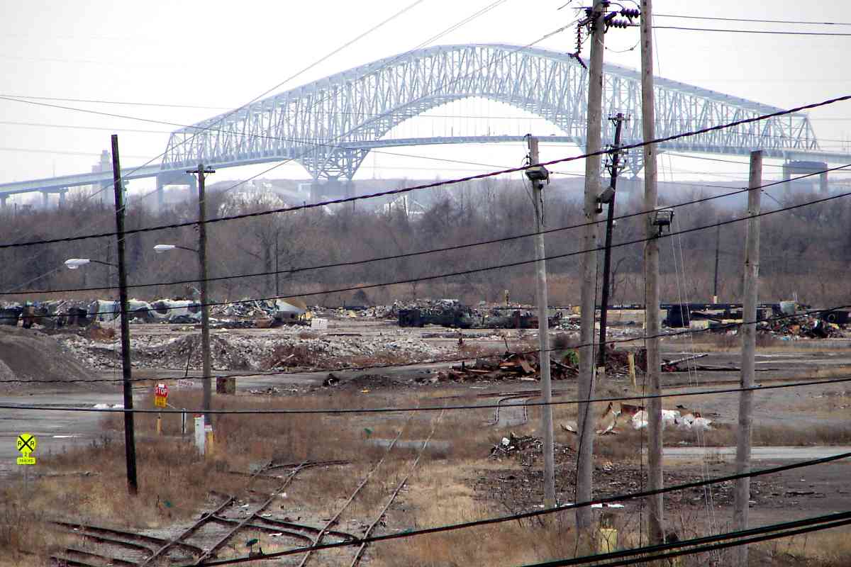
The bridges were removed around 1970 to make room for the Baltimore Beltway. 
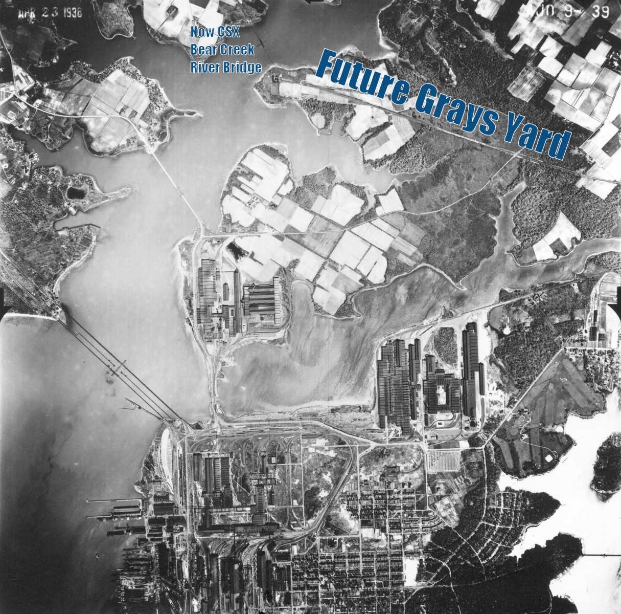
A similar fate was in store for the Liberty Parkway automobile bridge upstream. In the aerial photo, the surviving CSX Bear Creek bridge is at 
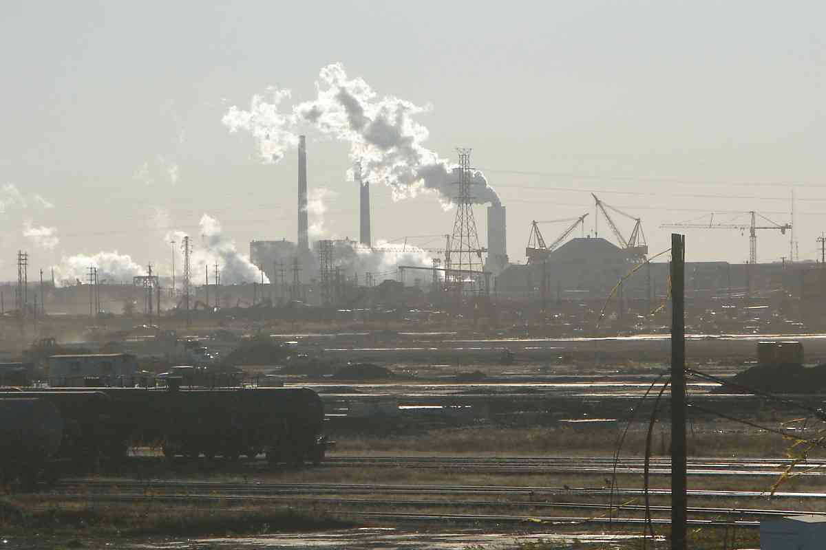
top, while at bottom is Bethlehem Steel, not yet in the frenzy of WW II production.


Wide

Wide
Mile: 6.2 Date: Dec 2016
Ease: B View: SE
Area: C RBL:
Map: Ba 45 B 8 Topographic Maps

At the yard thirty-some tracks provide room for about 3000 railcars. At photo time Tradepoint was renting out the yard for car storage.


Rail

Rail
Mile: 6.5 Date: Dec 2016
Ease: B View: NE
Area: C RBL:
Map: Ba 45 C 8 Topographic Maps

During the 20th Century, where might one have obtained steel rails to install here? The markings tell us:

    ARA-B - American Railway Association "B" section (rail specifications)
    OH - Open Hearth (manufacturing technique)
    BSCO - Bethlehem Steel Company
    SPARROWS POINT - location, in this case "down the street"
    1946 - year of manufacture


Tamper

Tamper
Mile: 6.5 Date: Dec 2016
Ease: B View: W
Area: C RBL:
Map: Ba 45 C 8 Topographic Maps

A Fairmont (now Harsco Rail) brand tamper ECTR130CL tows equipment that helps it detect unevenness of the rails.

Link: Harsco Rail history


Tower

Tower
Mile: 6.9 Date: Dec 2016
Ease: B+ View: E
Area: C+ RBL:
Map: Ba 45 D 8 Topographic Maps

side view Several platforms like this tower at the edge of the yard, their purpose unknown to me. Perhaps they previously held lamps, or were manned by yard managers. Now large birds like ospreys use them as prey-inaccessible nesting sites.

Sparrows Point is not named for another avian resident but rather Thomas Sparrow who was granted this land around the year 1652.


Wye

Wye
Mile: 7.1 Date: Dec 2016
Ease: A- View: SE
Area: B- RBL:
Map: Ba 45 D 8 Topographic Maps

Though not easily seen here, the east end of Grays Yard features a large wye, with an ex-Pennsylvania (now Norfolk Southern) connection from the north. In the past the Pennsy manned a tower on the left. Ahead is the Baltimore Beltway.

Link: 2022 from drone


Stop-Look-Listen

Stop-Look-Listen
Mile: 7.1 Date: Dec 2016
Ease: A View: E
Area: B- RBL:
Map: Ba 45 D 8 Topographic Maps

This Stop-Look-Listen reminder along Grays Road is likely a holdover from the Western Maryland who featured the phrase on its earliest grade crossing signs.

Stop-Look-Listen was reinforced during the roaring 1920s when automobiles became more common, and then again after a Utah school bus accident during 1938 in which 25 students died.


Sparrows Point

Sparrows Point
Mile: 8.1 Date: Nov 2016
Ease: A View: W
Area: B RBL:
Map: Ba 45 D 10 Topographic Maps

Key Bridge After curving under the Beltway, the tracks emerge into and around the steel mill's site. In the distance is Key Bridge about 3 miles away.

During the 19th Century, instead farmer Fitzell's peach orchard had colored these lowlands. The Pennsylvania Steel Company arrival in 1887 kicked off 125 years of heavy industrial use. At photo time Tradepoint was busy clearing the site for their new port.


Railroading on Mars

Railroading on Mars
Mile: 8.1 Date: Nov 2016
Ease: A View: W
Area: B RBL:
Map: Ba 45 D 10 Topographic Maps

view SW view WSW view WSW view W

Ruddy iron oxides pervade the grounds and get lifted into the air by equipment on windy days like this. These scenes might be found in a post-apocalyptic movie, or someday on Mars. There's lots of cleanup to do since Bethlehem Steel's operations here once covered about five square miles.

The tall stack belching steam belongs to the Brandon Shores Generating Station about 5 miles away on the other side of the Patapsco River / Chesapeake Bay.

Link: Mars Railroad game


Bridges

Bridges
Mile: 10.4 Date: Dec 2016
Ease: A View: SE
Area: B RBL:
Map: Ba 44 K 11 Topographic Maps

Pipeline, rails, and roads all get separate bridges here. With Tradepoint remodeling the site, rail operations should come back to life under their new name, Tradepoint Rail. Tradepoint claims that over 100 miles of track service the property.

Links: steel mill photo retrospective, Tradepoint Rail


Tanks

Tanks
Mile: 10.5 Date: Dec 2016
Ease: A View: E
Area: B RBL:
Map: Ba 44 K 12 Topographic Maps

At photo time tanks were the most common car type on the grounds, though news reports say tens of thousnds of Volkswagen vehicles returned as part of the diesel emissions scandal will be stored here awaiting shipment back to the manufacturer.


Port

Port
Mile: Date: Dec 2016
Ease: A View: E
Area: A RBL:
Map: AA 4 D 5, Ba 44 E 13 Topographic Maps

That's Sparrows Point in the background as seen from Key Bridge. If Tradepoint is successful, these huge auto transport ships will soon be docking there. The hexagonal island is tiny, now privately-owned Fort Carroll that was originally designed by Robert E. Lee.

Links: track ARC's Freedom vessel, Fort Carroll, photos on Fort Carroll


The Sparrows Point Branch tour ends here.

Recommended: Sparrows Point pictorial history, Todd's Sparrows Point page

<< Previous (west) | THIS PAGE: Dundalk to Sparrows Point | End of tour || main index

For more tours here now, select from the map: clickable map

Or, return to main page

Copyright Notice