TrainWeb.org Facebook Page
B&O Washington Branch Photo Tour


B&O Washington Branch
Modern day photo tour

Accompanying each photo below are:

Click a photo to see a larger view. Please send your comments and corrections to Steve.


<< Previous (east) | THIS PAGE: Ammendale to Sunnyside | Next (west) >>

Ammendale CPLs

Ammendale CPLs
Mile: 26.1 Date: Jan 2003
Ease: A- View: NE
Area: B IC2:
Map: PG 3 K 12 Topographic Maps

Looking northeast once again, this is the view from the now disused Ammendale Road grade crossing. Since the time of this photo CSX replaced the CPL-style signals at this interlocking. The railroad calls this location Dale.

Links: ~1948, recent pictures


Ammendale Road

Ammendale Road
Mile: 26.1 Date: Jan 2003
Ease: A- View: SW
Area: B IC2:
Map: PG 3 K 12 Topographic Maps

Same spot as the prior photo, just looking in the opposite direction. There are not as many interesting things this way. It's almost not worth calling your attention to the tiny bit of concrete at the bottom of the photo, a relic of the disused Ammendale Road grade crossing. An 1878 GM Hopkins map puts Ammendale Station in the northeast quadrant of the grade crossing.

Reader Larry McClelland wrote to add:

    Ammen was a US Navy Admiral, boyhood friend of U.S. Grant who saved Grants life from drowning as a boy. After the Civil War he retired to an estate which he named Ammendale. Grant considered him his only true lifelong friend and during Grants troubled presidency, Grant and Family often spent time at Ammendale to escape the pressures of Washington. Ammens daughter was in the first graduating class of Notre Dame Institute, now Notre Dame College, and the Grant and Ammen families attended the graduation and are listed in the program though I do not know if they traveled to Baltimore by rail, the history department of the college should have the answer. Great website.


Odell Road
Photo courtesy Behnkes
NEW! late-Dec 2022

Odell Road
Mile: 26.5 Date: 1940s
Ease: A- View: N?
Area: B IC2:
Map: PG 7 J 1 Topographic Maps

The increase in train and automobile travel during the 1940s led to an increase in accidents like this one involving B&O 4488 at the Odell Road grade crossing. As reported in the Baltimore Sun of October 1, 1971, PG County executive William Gullett ordered the Ammendale and Odell Road grade crossings closed following fatal accidents.

Link: 4488 pics


MARC 19

MARC 19
Mile: 26.6 Date: Aug 2018
Ease: A- View: W
Area: B IC2:
Map: PG 7 J 1 Topographic Maps

US 1 parallels the rail line for about 2 miles. This could make a fun train-truck race photo, except for the tiny detail the two were travelling opposite directions.


The Behnkes
Photo courtesy Behnkes

The Behnkes
Mile: 26.8 Date: 1940s
Ease: A- View: E
Area: B IC2:
Map: PG 7 J 1 Topographic Maps

Behnkes Nurseries was a fixture along US 1 in Beltsville for the better part of 90 years. This photo from Behnkes looks across US 1 to find an eastbound B&O train steaming past.

Link: Beyond Behnkes


B&O 3549
Photo courtesy B&O History Collection

B&O 3549
Mile: 27.1 Date: Jul 1964
Ease: A- View: N
Area: B IC2:
Map: PG 7 J 2 Topographic Maps

Above is the first known photo of B&O 3549, a GP35 model fresh from the CSX 2299, Apr 2002 factory July 1964. The wires spanning overhead echo where Powder Mill Road had previously crossed at grade.

That's the same unit (right) at Jessup during 2002, by which time it had been converted to road slug 2299. CSX retired it during 2019.

It appears the 1964 photo captures the line in transition from jointed rail segments to continuously welded rail: the near track uses rail joints, but the far track appears to be continuously welded.

Link: B&O 3549 pics


Beltsville Station
Photo credit M. Dwyer

Beltsville Station
Mile: 27.1 Date: Jan 1973
Ease: A View: E
Area: B IC2:
Map: PG 7 J 2 Topographic Maps

B&O's small, frame Beltsville Station hung on into the 1970s. "Powder Mill" refers to nearby factories that made gunpowder during the 18th and 19th centuries.


Deteriorating
Photo courtesy B&O History Collection

Deteriorating
Mile: 27.1 Date: Jan 1977
Ease: A View: NW
Area: B IC2:
Map: PG 7 J 2 Topographic Maps

Like many disused railroad structures during the 1970s, Beltsville Station became a funk hole before being torn down. At photo time, frigid weather gripped the eastern half of the US; snow was recorded in Miami, Florida as well as in the Bahamas. During the years since January 1977, there has not been a colder month in the region.


Disused Grade Crossing

Disused Grade Crossing
Mile: 27.2 Date: Jan 2003
Ease: A View: NE
Area: B IC2:
Map: PG 7 J 2 Topographic Maps

The Powder Mill Station shops (right) occupy the site of Beltsville Station. At the center of this photo which looks northeast from shortly north of the Powder Mill Road intersection, is another disused grade crossing. Instead of curving left, originally US 1 had continued straight to cross the tracks then ran between the small house near the center and the tan building at right center. As at Contee, the increasing level of automobile traffic instigated the re-routing of US 1 sometime around 1920. The grade crossing remained open, however, until Powder Mill Road was grade separated around 1940.

In this photo, the railroad is hidden by brush; tracks cross left to right in front of the tan building.


Aerial 1937
Photo courtesy Johns Hopkins University

Aerial 1937
Mile: 27 to 28 Date: May 1937
Ease: View: N (up)
Area: IC2:
Map: PG 7 J 4 (center) Topographic Maps

The highest-resolution, pre-WW II aerial currently available is good enough to depict B&O stations at Beltsville and Sunnyside.

Within a few years after this photo, Powder Mill Road's grade crossing would be eliminated via an overpass that crosses the tracks a short distance south. That overpass appears in the photo below.


Powder Mill Road

Powder Mill Road
Mile: 27.2 Date: Jan 2003
Ease: A View: S
Area: B IC2:
Map: PG 7 J 2 Topographic Maps

Powder Mill Road, MD 212, was one of the first roads along the Washington Branch to graduate from a grade crossing to an overpass. At track level, the extra width originates with a former siding.

Reader Karl Ginter wrote:

    There's a picture on the wall of the Town Center theatre that dates the overpass (it is a picture of the Sidney Lust's drive in, on the parcel just S. of the bridge, but shows the bridge quite well, description mentions it was new).

    There were several grade crossing between Beltsville (now MD 212) and Contee. In 1967, there were grade crossings at Odell Road and Ammendale Road. Muirkirk was a single-lane steel bridge over the tracks at Muirkirk Road. The Muirkirk bridge was replaced in late 1960's/early 1970's, and the Odell and Ammedale Road grade crossings were closed about that time.


RDC
Photo credit Al Holtz,
B&O History Collection

RDC
Mile: 27.2 Date: Jan 1967
Ease: A View: N
Area: B IC2:
Map: PG 7 J 2 Topographic Maps

As seen from Powder Mill Road's overpass, a Budd-manufactured RDC (Rail Diesel Car) carries B&O patrons toward Washington on a mild winter day. Does anyone know if Beltsville Station (left) was still open for passengers at photo time?

Interstate 95 opened in Maryland a few years after this photo, and the resulting hauling competition from trucks soon put the siding on the right out of business. It was removed later in the 20th century.

I looked into preparing a then-now photo pair, but trees and brush have overtaken on the left and block the view in any closely-matching now-photo.


Beltsville

Beltsville
Mile: 27.2 Date: Aug 2018
Ease: A View: S
Area: B IC2:
Map: PG 7 J 2 Topographic Maps

After landowner Trueman Belt granted B&O this right of way through his property, the railroad named the area Beltsville. Coincidentally, some 135 years later the Capital Beltway (no relation) would also barge through on the south side. If you squint through a mile of haze, you can just about see a distant Beltway bridge in this photo. It is out there beyond this mile-long straightaway.

Former residences on the left have become part of the Beltsville Agricultural Research Center. On the right, between 1947 and 1987 moviegoers found Sidney Lust's Drive-In, later Beltsville Drive-In.

Links: Civil War raid on Beltsville, photos at Cinema Treasures


Repairs Ahead

Repairs Ahead
Mile: 27.4 Date: Aug 2018
Ease: B View: S
Area: B IC2:
Map: PG 7 J 3 Topographic Maps

The malfunctioning gates at the next grade crossing (Sunnyside Avenue) will soon be functioning properly again.


Stone Culvert

Stone Culvert
Mile: 27.7 Date: Dec 2014
Ease: B- View: E
Area: B IC2:
Map: PG 7 J 4 Topographic Maps

This may be among the few Washington Branch box culverts to survive in its original 1835 form. The relative lack of development along this stretch means the railroad never had reason to widen or redo this culvert that adds water to Indian Creek. An argument for a more recent vintage is the stones are most similar to those used by B&O for other culverts dating to around 1900.


Whistle Posts

Whistle Posts
Mile: 27.7 Date: Dec 2014
Ease: B View: SW
Area: B IC2:
Map: PG 7 J 4 Topographic Maps

Two styles of whistle post warn of the Sunnyside Avenue grade crossing ahead. The post on the right has been highlighted for viewabilty. Behind that post, note a rising ramp, one of the few active spurs remaining on the subdivision.


Spur

Spur
Mile: 27.9, spur 0.0 Date: Dec 2014
Ease: B View: NE
Area: B IC2:
Map: PG 7 J 4 Topographic Maps

Though the Beltsville Industrial Center served by this spur originated during the 1950s, the rails show a forging date of 1915. B&O often recycled rail hardware from the mainline into spur track. At the time, reuse was called frugal and cost-effective, now it's called "green".


Splits

Splits
Mile: 27.9, spur 0.3 Date: Dec 2014
Ease: B View: NW
Area: B IC2:
Map: PG 7 J 3 Topographic Maps

The spur does the typical splitting into sidings, many of which have been disused like this one on the right at Hanna Street. The rails on the left are not rusted over, so trains do still venture here from time to time.


Dwarf

Dwarf
Mile: 27.9, spur 0.0 Date: Dec 2014
Ease: B View: S
Area: B IC2:
Map: PG 7 J 4 Topographic Maps

Exiting the spur back to the main line...

At photo time, CSX's plan of attack on CPLs left most survivors of the dwarf species of the beloved B&O signal hiding at little-used spurs.


Marker

Marker
Mile: 28.0 Date: Nov 2003
Ease: A- View: S
Area: B IC2:
Map: PG 7 J 4 Topographic Maps

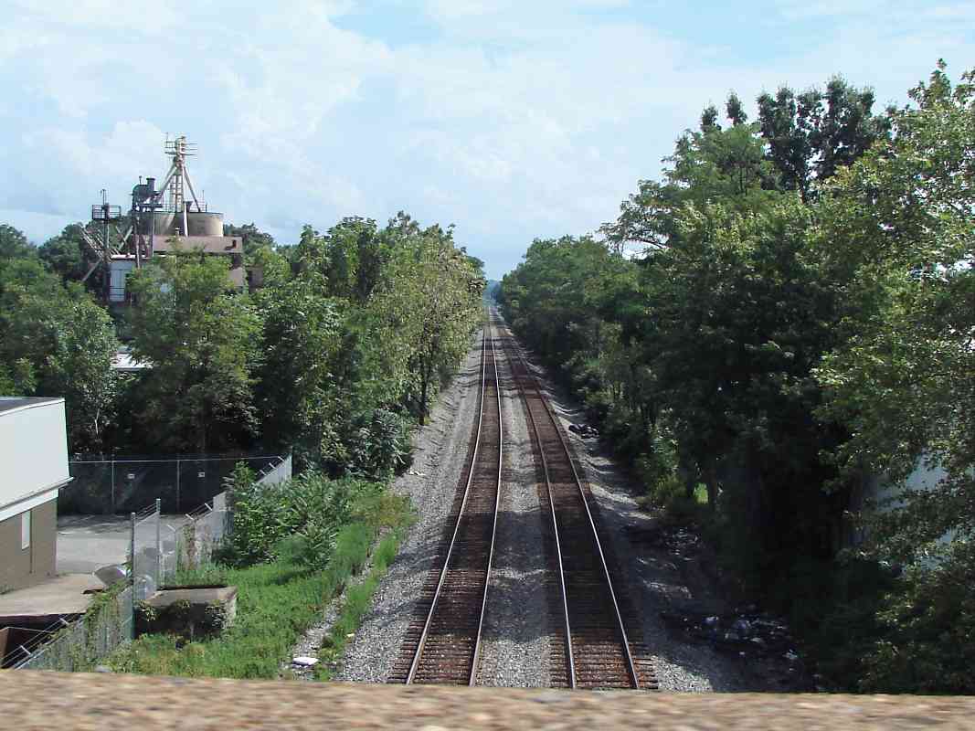
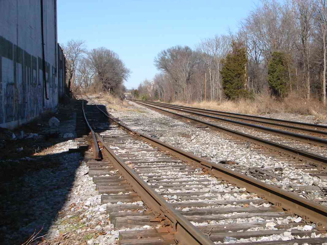
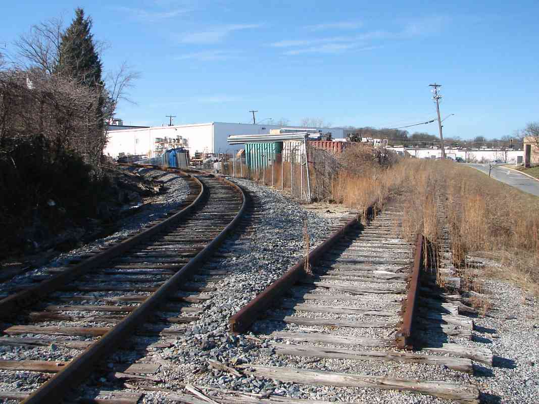
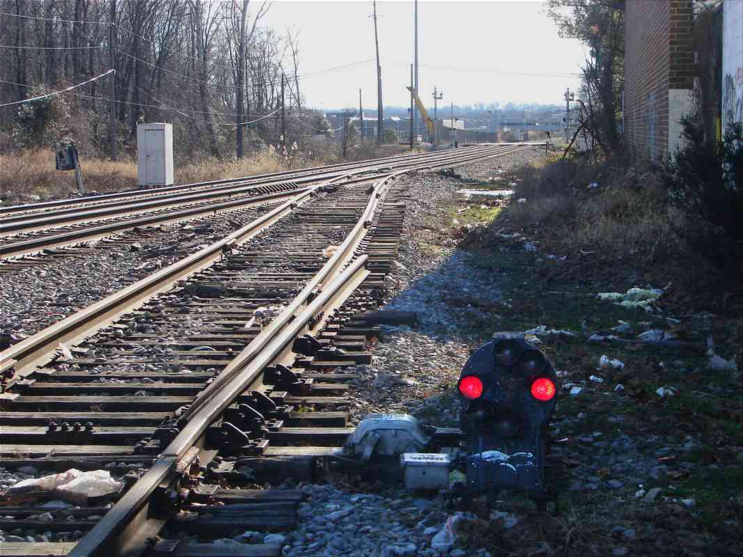
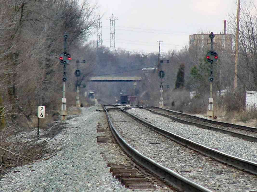
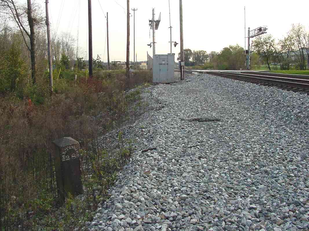
An original mile marker watches over the Sunnyside Ave grade crossing. Since the time of this photo, it has been painted white.

When you stand edge on and observe these stones, you see Baltimore engraved on the left, and Washington on the right. That makes sense since the cities are in those directions.

When viewed from the front of a moving train, however, most of the time only one engraved side is in view at any given moment. The view from a Washington-bound train is much like that in this picture. Under such circumstances, the stones are confusing. This one gives the impression that Baltimore is 28 miles ahead, whereas in reality it is 28 miles behind.

Of course in 1835, the engravers did not have for reference established standards like interstate highway signs. Another possibility is the railroad relocated this stone from the other side of the tracks.


Sunnyside Avenue

Sunnyside Avenue
Mile: 28.0 Date: Dec 2014
Ease: A View: E
Area: B IC2:
Map: PG 7 J 4 Topographic Maps

Murphy's Law of Railfanning: trains roll by only after you start your trip home.

B&O's Sunnyside Station was located near the RR crossing road sign on the right.


<< Previous (east) | THIS PAGE: Ammendale to Sunnyside | Next (west) >>

Or, return to main page

Copyright Notice