| Home | History | Route | Locomotives | Rolling Stock | Operations | Gallery | Bibliography |
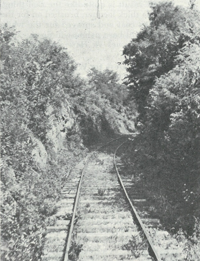
A small rock cut on the "Slow & Easy" line. (1948 Model Railroader magazine photo by C.L. Bandy)
Laid to standard (4' 8-1/2") gauge with 56 or 60-pound rail, the Knoxville, Sevierville & Eastern (KS&E;) Railway and its successor lines more or less followed the lay of the land across south Knox and Sevier Counties, Tennessee. The road was constructed in four primary phases:
1908 - 1910 Vestal to one mile west of Sevierville (KS&E;) Circa 1910 - 1911 One mile west of Sevierville to Sevierville depot (KS&E;) 1916 - 1920 Sevierville to McCookville (Pigeon River Railroad) 1942 Ewing to Douglas Dam site (Smoky Mountain Railroad TVA Spur) In modern-day terms, the route was as follows:
Knoxville to Vestal: via the Norfolk Southern Railway's Knoxville & Augusta (K&A branch) across the Tennessee River, then roughly parallel to Blount Avenue;
Vestal to Mooreland Heights community: roughly parallel to, then crossing Martin Mill Pike, then along Charter Doyle County Park's northeast boundary, passing under Magazine Road adjacent to Mooreland Heights Elementary School;
Mooreland Heights community to King's Gap (Ye Olde Steak House): roughly parallel to and crossing Magazine Road, then parallel to Brown Mountain, then running parallel to U.S. 441 (Chapman Highway) at Ye Olde Steak House;
King's Gap (Ye Olde Steak House) to Shooks: turning away from U.S. 441 (Chapman Highway) at Dick Ford Lane, crossing Abner Cruze Lane and State Route 168 (Governor John Sevier Highway), then bridging Stock Creek (near Breeden Lane), then crossing Tipton Station Road, then running parallel to and crossing Pickens Gap Road, then crossing Highland View Road, then turning parallel to Simpson Road and Bays Mountain, then crossing U.S. Highway 441 (Chapman Highway) in Shooks Gap;
Shooks to Seymour: roughly parallel to and periodically crossing Old Sevierville Pike;
Seymour to Revilo: roughly parallel to and periodically crossing State Route 338 (Boyds Creek Highway);
Revilo to Sevierville: through Cannon Hollow, then roughly parallel to Old Knoxville Highway, crossing U.S. 441 (West Main Street) near the railroad's Sevierville terminal.
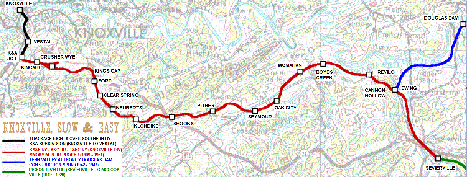
Route and stations of the "Slow & Easy."Although the exact route is illustrated by the map above, the following is a 1927 Mechanics' Bank and Trust Company description of the right-of-way in legal-ese:
- "The said right of way and track beginning at or near Vestal in Knox County, Tennessee, thence in a southeasterly direction to King's Gap in Brown's Mountain, a distance of five and one-half miles;
- thence in a southeasterly direction up the valley of Stock Creek and passing Neubert's Mill near the end of the seventh mile from Vestal to Mud Flat School House, which is eight and one-half miles from Vestal;
- thence in a northeasterly direction toward the head waters of Stock Creek to the property of Robert Cruze; thence in a northeasterly direction to the line between Knox and Sevier County, this line being at Shook's Gap in Bays Mountain; thence in a southeasterly direction to Pitner's Gap, the same being a divide of the waters flowing northwestwardly and southeastwardly;
- thence down the valley leading to Boyd's Creek to a point near Fox's Store on the seventeenth mile;
- thence in a northeastwardly direction crossing Boyd's Creek near the stone bridge on the Sevierville Pike on the 20th mile;
- thence in a southeastwardly direction to the lands of Robert Catlett at the mouth of Cannon Hollow, which is on the 23rd mile from Vestal--in a southeastwardly direction to the foothills south of Pigeon River;
- thence southwest and parallel to the river to a point one-half mile northwest of Sevierville, and being twenty-six and one-third miles from Vestal and the ending of the line as located."
Text copyright © 1999 - 2018 Knoxville, Slow & Easy
| Home | History | Route | Locomotives | Rolling Stock | Operations | Gallery | Bibliography |