TrainWeb.org Facebook Page
ASL Photo Tour


Annapolis Short Line
Modern day photo tour

Accompanying each photo below are:

Click a photo to see a larger view. Please send your comments and corrections to Steve.


<< Previous (south) | THIS PAGE: Cliffords to Baltimore | End of tour || main index

Four Lines
Photos courtesy Johns Hopkins University

Four Lines
Mile: Date: 1953
Ease: View: N (up)
Area: BLR: 34
Map: Ba 42 Topographic Maps

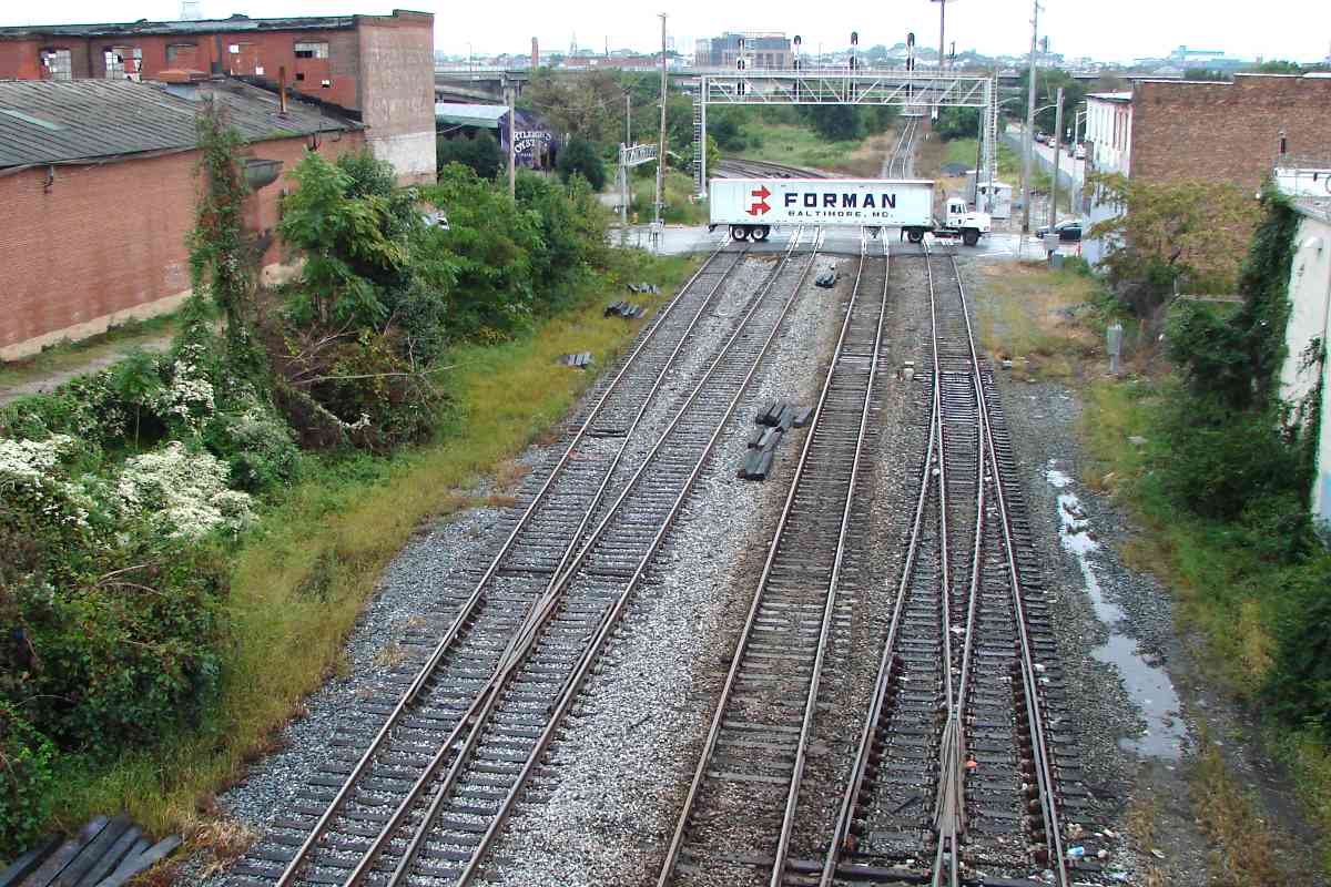
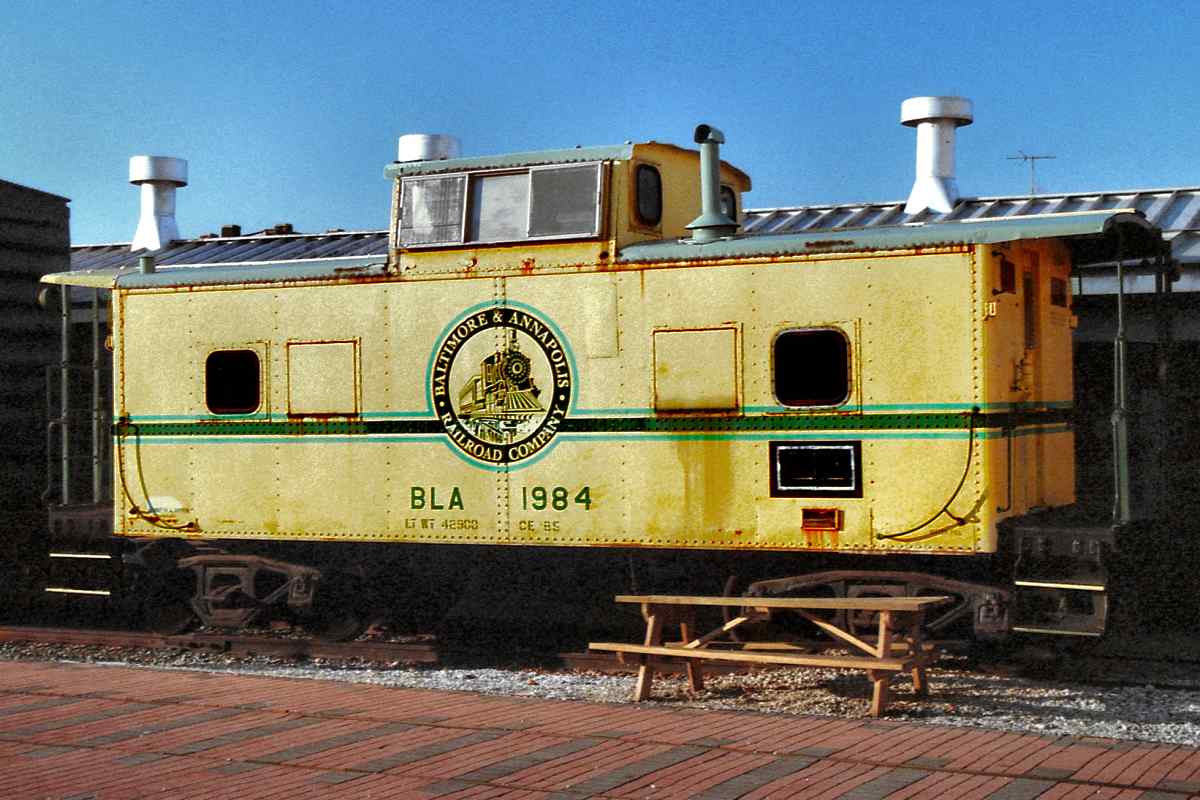
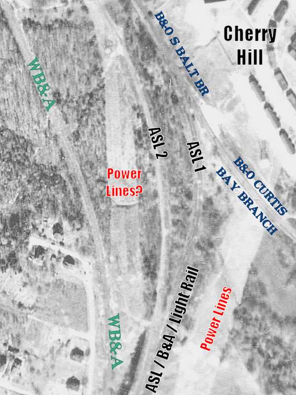
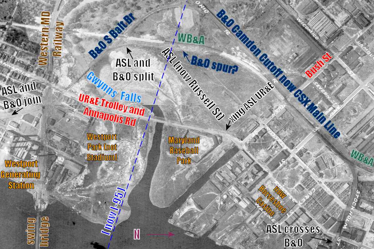
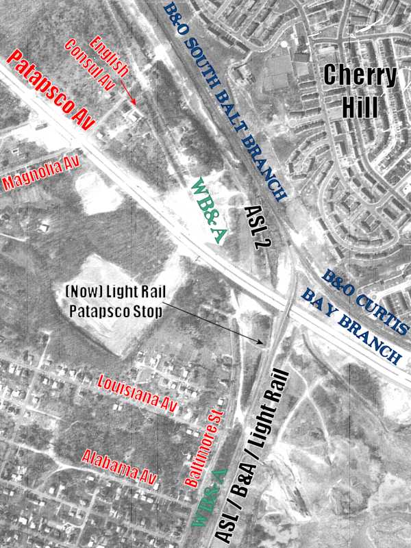
Perhaps a map or two can help clarify some distinctions between the ASL, WB&A, B&A, and B&O, all of which met near the Baltimore City / County border. 1953

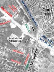
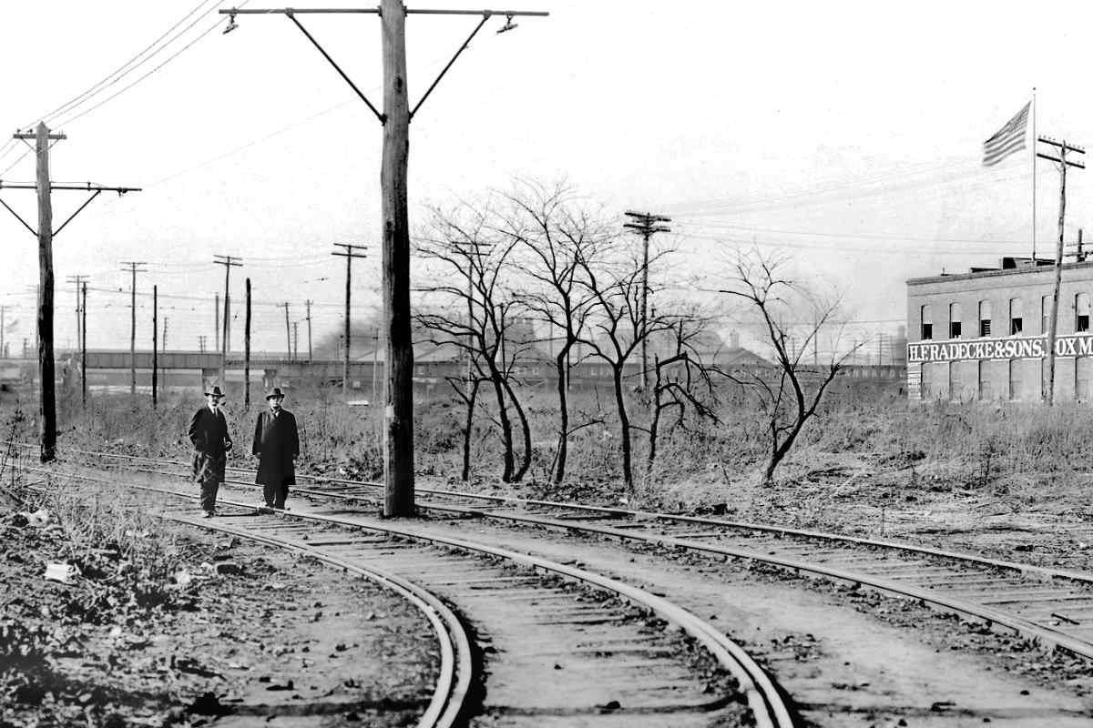
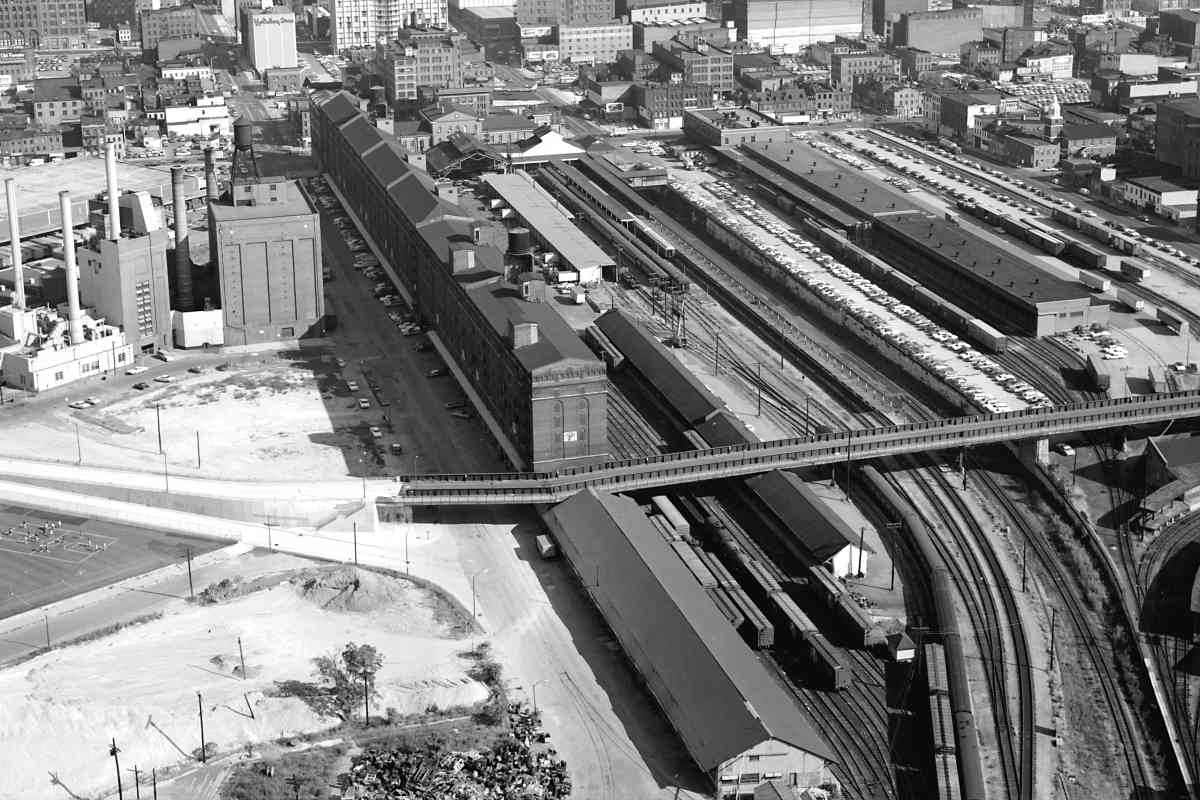
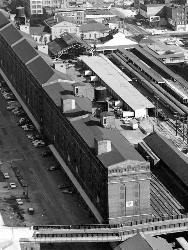
The 1953 aerial above illustrates the ASL 1 (original) vs ASL 2 (later) alignments.

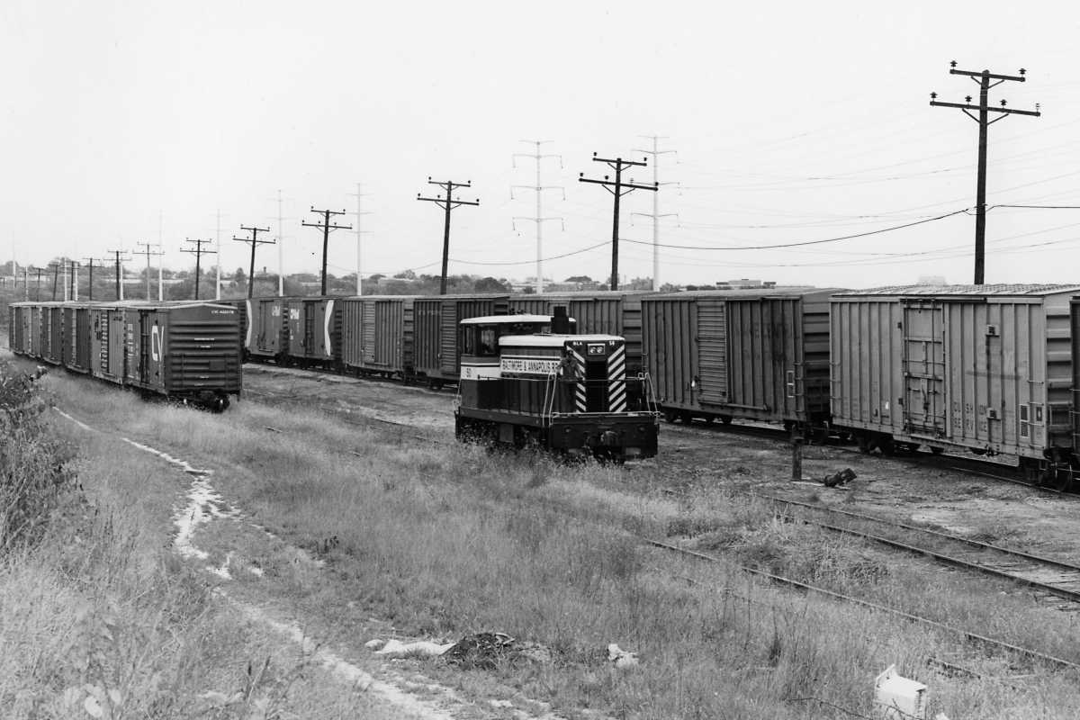
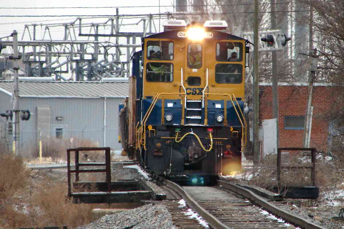
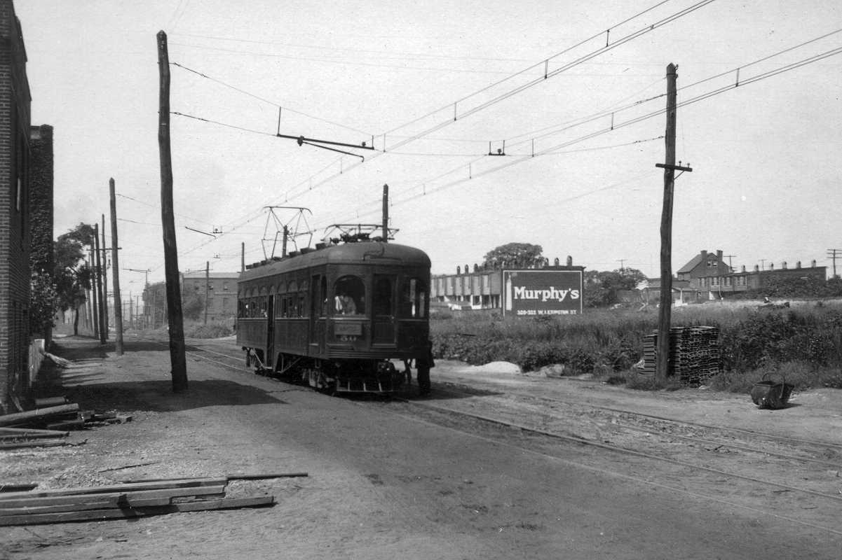
With the arrival of Patapsco Avenue around 1960, B&A which had been operating along the ASL 2 alignment switched back to ASL 1 where a bridge was added for grade separation from the then-new Patapsco Avenue.

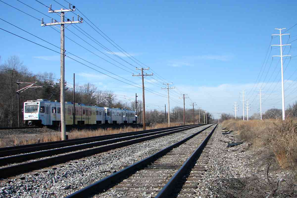
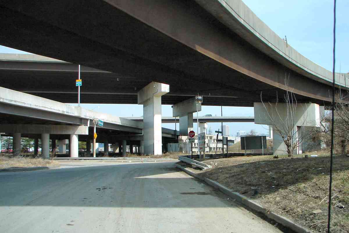
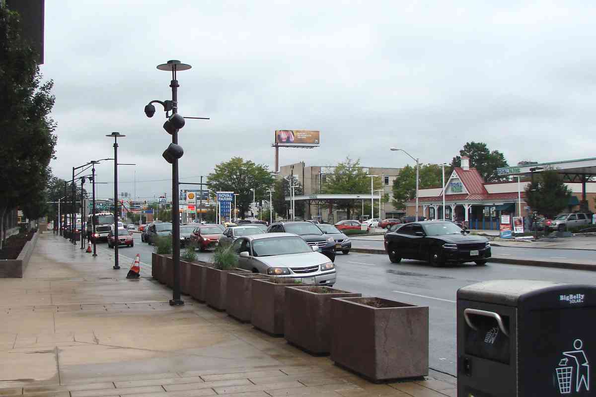
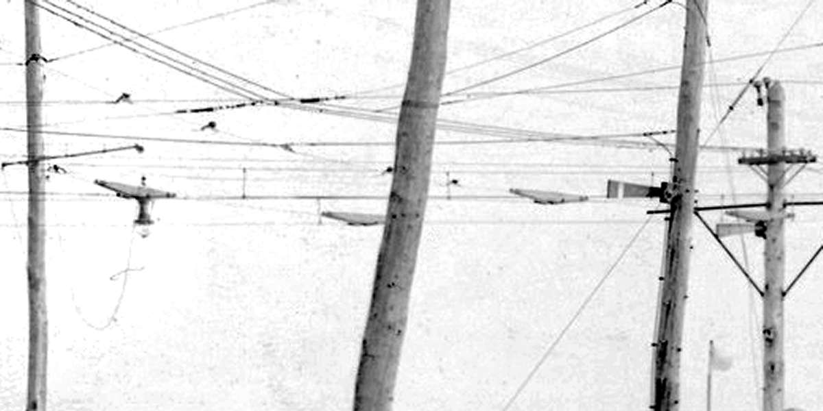
Patapsco Avenue runs within the city, just inside the city line. As of 2018 only utility lines -- and railfans -- still follow the ASL 2 alignment.


Follow the Wires

Follow the Wires
Mile: 21.5 Date: Oct 2017
Ease: A- View: S
Area: C+ BLR:
Map: Ba 42 K 9 Topographic Maps

The wires that veer to the northwest (right) still follow the ASL 2 curve. This is the view from Light RailLink's Patapsco stop; the trains follow the ex-B&A, ex-ASL 1 route.


Patapsco Avenue

Patapsco Avenue
Mile: 21.8 Date: Jul 2015
Ease: A View: W
Area: C BLR:
Map: Ba 42 K 8 Topographic Maps

This is the grade separation bridge over Patapsco Avenue that follows the ASL 1 alignment; it was built for the B&A and later inherited by Light Rail. The "Central Light Rail Line" sign expresses the 1990-hope other lines would be built, but to date only short spurs to BWI Airport and Baltimore's Penn Station have been added. The sign might cover a B&A herald embossed in the concrete.

The ASL 2 alignment had existed near the pedestrian wearing the yellow shirt. Since the ASL 1 and 2 alignments are adjacent, they both curve into Cliffords, which in this view is on the right.


Cliffords Curve

Cliffords Curve
Mile: 21.8 Date: Jan 2015
Ease: B View: SE
Area: C- BLR: 87
Map: Ba 42 K 8 Topographic Maps

This reverse-to-tour-direction view from Cliffords shows a light rail train moving away from the camera as it negotiates that curve; it will soon cross over Patapsco Avenue. The tracks on the left lead CSX to Curtis Bay. Within the nearer tangle, CSX and light rail maintain a now rarely-used connection with each other. Upon the disuse by Norfolk Souther of track in the Jones Falls Valley, this became Light RailLink's only active rail connection with the outside world.

This was also a connection spot for passengers: a detailed 1915 atlas puts the B&O's Clifford Station immediately on the other side of the utility box at left. The atlas also shows passegner platforms for ASL on the right.

Change for: Curtis Bay tour


Cliffords
Photo credit HH Harwood

Cliffords
Mile: 21.8 Date: Oct 1984
Ease: B View: N
Area: C- BLR:
Map: Ba 42 K 8 Topographic Maps

At Cliffords the B&A's only locomotive at the time, number 50, could exchange cars with the B&O. During later years the B&A also operated an EMD switcher they numbered 87, representing the year they acquired it (1987).

Many of the boxcars in this view display reporting marks of railroads of Canada and Maine, the source of the paper the B&A hauled for a long-term customer. During the early 1990s the State of Maryland purchased the B&A in order to secure its route for light rail. Even after B&A made its last run from Cliffords on October 9, 1991, it continued to shuttle boxcars of paper between Alco Gravure warehouses while deliveries were handled by the Canton Railroad. Canton trains operated at off hours on the same tracks light rail had during the day.

Links: BLA 87 photo, 1988


Catenary

Catenary
Mile: 21.8 Date: Jan 2015
Ease: B View: NW
Area: C- BLR:
Map: Ba 42 J 8 Topographic Maps

The car exchange yard on the left was replaced by Light Rail trackage.

Link: 1985


Urban Lane

Urban Lane
Mile: 22.4 Date: Feb 2015
Ease: B View: S
Area: C BLR:
Map: Ba 42 J 7 Topographic Maps

During ASL's early years, it shared the B&O's South Baltimore Branch (now CSX's South Baltimore Industrial Track) north to reach Camden Station. When the ASL electrified in 1908, the B&O grew nervous about its trains and crews operating under the catenary so it built the ASL a separate but the largely parallel route into downtown Baltimore that on this page is referred to as ASL 2.

The ASL 2 alignment snuck under the B&O's Curtis Bay Branch here. Later, B&A began exchanging traffic back at Cliffords so that it had no need to venture farther north. Rail service then ceased under this bridge until Light Rail reactivated the route around 1990. During the interval without rails, the path under the bridge became part of a dirt road marked Urban Lane on some maps.

Change for: Curtis Bay Branch tour at this site


Waterview Avenue

Waterview Avenue
Mile: 22.8 Date: Oct 2016
Ease: A View: N
Area: C+ BLR:
Map: Ba 42 J 6 Topographic Maps

The first view of downtown Baltimore comes from Waterview Avenue where the separate-parallel rail routes remain evident. Between the two is Kloman Street.


1927_Aerial
Photo courtesy Johns Hopkins University

1927 Aerial
Mile: Date: 1927
Ease: View: N (right)
Area: BLR:
Map: Ba 42 K 5 Topographic Maps

To better fit on screen this map has been rotated such that North, the general direction of this tour, is to the right.

North of Waterview Avenue at the 1927 aerial's left edge, ASL and B&O joined tracks in order to share a bridge across Gwynns Falls.

In this aerial view, ASL tracks are difficult to discern because by this time ASL had been merged into WB&A, and a new alignment was in use.


Westport

Westport
Mile: 23.2 Date: Feb 2015
Ease: A View: N
Area: D+ BLR:
Map: Ba 42 K 5 Topographic Maps

At Kloman and Wenburn Streets Light RailLink swerves and bridges over the CSX South Baltimore Industrial Track. A century earlier, ASL and B&O had joined in this vicinity so as to share the next 1/3rd mile of track and span Gwynns Falls. Apparently rather than build ASL a separate bridge, B&O tolerated ASL's overhead wires for the upcoming 1/3rd mile stretch. No photographs from the 1908 to 1921 period survive to confirm or deny that speculation.

The huge Westport Generating Station had been located on the right. When it opened it was the world's largest power plant constructed of reinforced concrete.

Links: aerial by Baltimore Sun, generating station interior


Join Site

Join Site
Mile: 23.3 Date: Feb 2015
Ease: A- View: NW
Area: D+ BLR:
Map: Ba 42 K 4 Topographic Maps

Where previously ASL and B&O had joined, now CSX splits into the Hanover Subdivision (left, ex-Western Maryland line), and the South Baltimore Industrial Track (right). We'll follow the right side to Gwynns Falls.


CSX 1214

CSX 1214
Mile: 23.5 Date: Feb 2015
Ease: A View: SE
Area: C- BLR:
Map: Ba 42 J 4 Topographic Maps

On a frigid, below-zero morning a Baltimore-bound CSX switcher pulls a short train across Gwynns Falls.

In this reverse-tour-direction view, ASL, and its catenary, had quickly split off, back onto its own trackage on the left, this side of the bridge. No evidence of that split survives here.


Roads

Roads
Mile: 23.6 Date: Mar 2015
Ease: A View: NE
Area: C BLR:
Map: Ba 42 J 4 Topographic Maps

From here to Baltimore all ASL artifacts have been erased by decades of road work, but we can follow Russell Street since it traces the ASL route.

The pavement at the photographer's feet is named Russell Street, but should probably be renamed Old Russell Street because a newer Russell Street shares the route of MD 295, aka Baltimore - Washington Parkway. That shared route is the lowest of the elevated roads ahead. From our feet, ASL curved to the right and ran where the new Russell Street and MD 295 now do. The highest of the elevated roads here is I-95.


Russell Street 1913
Photo credit Harry F. Brown

Russell Street 1913
Mile: 24.1 Date: ~1913
Ease: A View: SW
Area: B- BLR:
Map: Ba 42 K 3 Topographic Maps

This is one of few surviving photos of ASL operating along Russell Street long before the accompanying dirt road evolved into six busy auto lanes. The photographer captured ASL 50 near Worchester Street (then Carey Street) at the northwest corner of what during 2018 is Horseshoe Casino.


Russell Street 2018

Russell Street 2018
Mile: 24.1 Date: Sep 2018
Ease: A View: SW
Area: B- BLR:
Map: Ba 42 K 3 Topographic Maps

The 2018 view at the same spot finds nothing survives from 1913, unless one counts Russell Street itself where northbound lanes now occupy the ex-ASL right of way. Outside the casino, lamps (and security cameras) have taken the place of catenary support poles. After the post-ASL Russell Street proved insufficient, the road was twinned (widened) during the mid-1950s by adding new southbound lanes.

Russell Street is named for Alexander Russell who in 1790 had established a brick manufacturing company in this vicinity.


Curve Right

Curve Right
Mile: 24.2 Date: Sep 2018
Ease: A- View: N
Area: C BLR:
Map: Ba 42 K 2 Topographic Maps

Grade separation of Russell Street from the B&O happened during the 1950s; this is a rare example of the separated road being built directly over the old grade crossing. Overhead the elevated Russell Street turns left, but below ASL had curved right to briefly join the B&O's main line before itself turning left toward Camden Station.


Curve Left

Curve Left
Mile: 24.2 Date: Sep 2018
Ease: A- View: E
Area: C+ BLR:
Map: Ba 42 K 2 Topographic Maps

4 Tracks As seen from Russell Street, ASL trains had quickly crossed to the left side of these ex-B&O, now CSX, mainline tracks. Next, beyond the grade crossing, they curved left to Camden Station. No ASL artifacts are evident here though some may be buried.

Along trackage in the vicinity, and perhaps the entire former B&O network, one will not find an active, wider public road grade crossing than this 4-track example at Warner Street. The rightmost track is bound for Locust Point.

Link: B&A 102 at Warner Street


Camden Yards

Camden Yards
Mile: 24.6 Date: Oct 2016
Ease: B View: SW
Area: B BLR:
Map: Ba 43 A 2 Topographic Maps

Rounding the aforementioned curve, this CSX train is about to enter the Howard Street Tunnel. The railroad Camden Yards, with surrounding warehouses and support facilities, occupied a wider area before I-395 and the stadiums. To reach Camden Station, ASL employed trackage closer to what is now M&T Bank Stadium.


Wide

Wide
Mile: 25.0 (24.4) Date: 1912 (Sep 2018)
Ease: (A-) View: S (NE)
Area: (B) BLR:
Map: Ba 43 A 1 (Ba 43 A 2) Topographic Maps

This 1912 photo on a sign outside M&T Stadium illustrates the expanse dominated by the railroad. That's the B&O's Camden Station in the foreground. Eighty years later Oriole Park would arrive on the right.


1971 Aerial
Photos courtesy Library of Congress

1971 Aerial
Mile: 24.4 Date: ~1971
Ease: View: NE
Area: BLR:
Map: Ba 43 A 2 Topographic Maps

zoom This was the view northeast from above the future M&T Stadium. The Lee Street bridge that cuts across the center is no longer extant. About 20 years later M&T Stadium would be built near the lower left corner of the main photo. The other big stadium, Oriole Park, arrived a bit sooner where you see the smokestacks at left.

Buildings that have survived include Camden Station at top left center, and the long B&O warehouse to its left at the "F", both visible in the zoom view.

Link: yard 1946


Platforms

Platforms
Mile: 24.8 Date: Oct 2016
Ease: A View: NE
Area: B BLR: 84
Map: Ba 43 A 2 Topographic Maps

Automobiles rather than boxcars now park adjacent to the surviving B&O warehouse (left), its letter "F" paint fading but still visible. The long platforms to the right serve MARC train passengers, and Light RailLink's Camden Yards stop is just beyond. The Transportation Center at Camden Yards (its formal name) remains as important for rail travel as it did when the B&O opened its first station here during 1856.


BASL 2
Photo courtesy CB Chaney collection
NEW! early-Dec 2019

BASL 2
Mile: 25.0 Date: ~1905
Ease: View: E
Area: BLR:
Map: Ba 43 A 1 Topographic Maps

Maryland Car Wheel As previously described, ASL went through several reorganizations, mergers, and new names. B&ASL displayed on this train corresponds to the 1894 to 1908 period.

The engine's front wheel made by Maryland Car Wheel Company appears to be dated 10 17 03, that is, October 17, 1903. Maryland Car Wheel had a factory along Curtis Avenue adjacent the B&O's Curtis Bay coal export piers.


ASL 10
Photo courtesy CB Chaney collection
NEW! early-Dec 2019

ASL 10
Mile: 25.0 Date: ~1900
Ease: View: NE
Area: BLR:
Map: Ba 43 A 1 Topographic Maps

dwarf sempahore signal Before electrification, several ASL steam engines plied the route. Here ASL 10 is set to depart B&O's Camden Station.

Trackside dwarf semaphore signals (left) were sometimes called dollies or dolly signals.


Camden Station
Photo courtesy HH Harwood collection

Camden Station
Mile: 25.0 Date: 1940s
Ease: View: NE
Area: BLR:
Map: Ba 43 A 1 Topographic Maps

Even after ASL metamorphosed into the WB&A, then B&A, interurban cars were still serving Camden Station. This location and view are virtually the same as in the prior photo, but several decades have elapsed.

Links: B&A 102 at Camden Station, 1940s color


BLA 1984

BLA 1984
Mile: Date: Feb 1999
Ease: View: N
Area: BLR:
Map: Ba 42 J 1 Topographic Maps

A caboose always makes a fitting end. At photo time this B&A unit, its green striping having faded toward blue, called the B&O Museum in Baltimore home.

Links: caboose in 1988, 2005


The ASL tour ends here, but you can continue your journey northeast via the B&O Baltimore Belt Line.

<< Previous (south) | THIS PAGE: Cliffords to Baltimore | End of tour || main index

For other tours here now, select from the map: clickable map

Or, return to main page

Copyright Notice