|
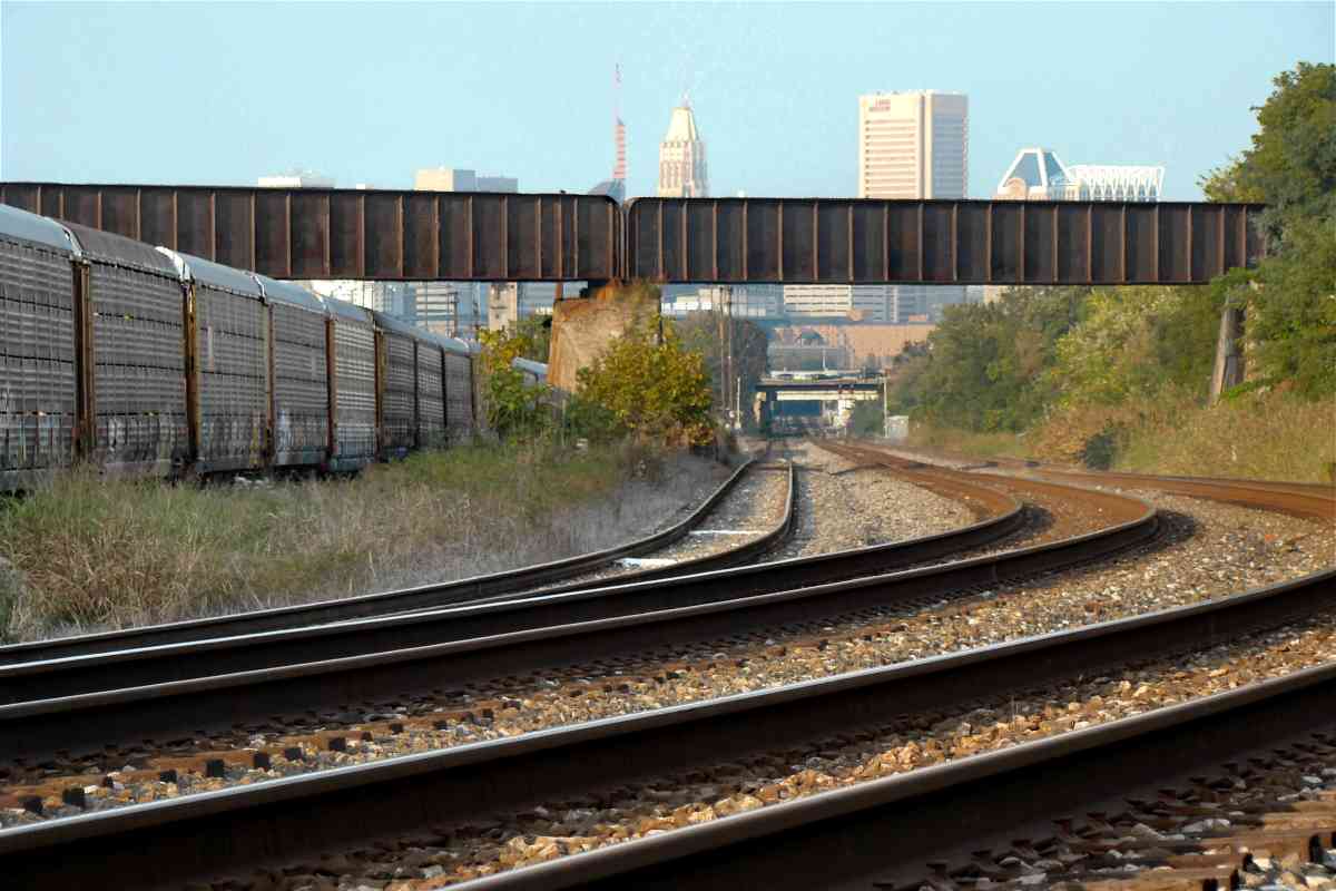
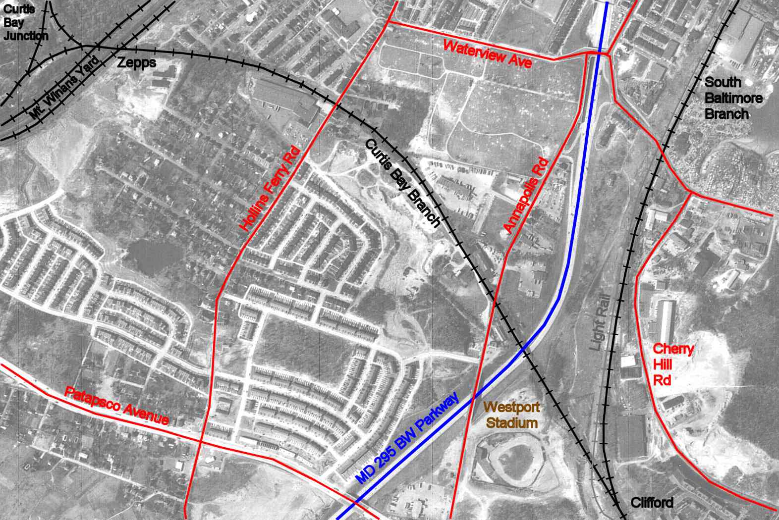
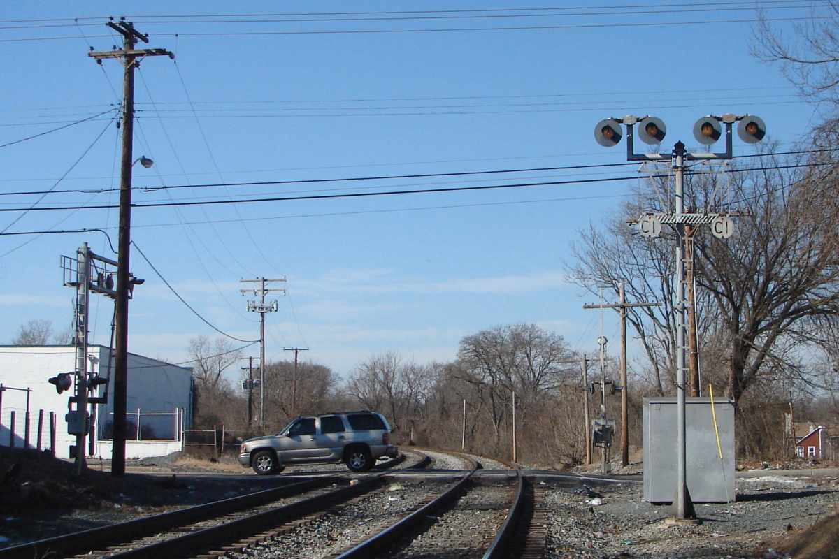
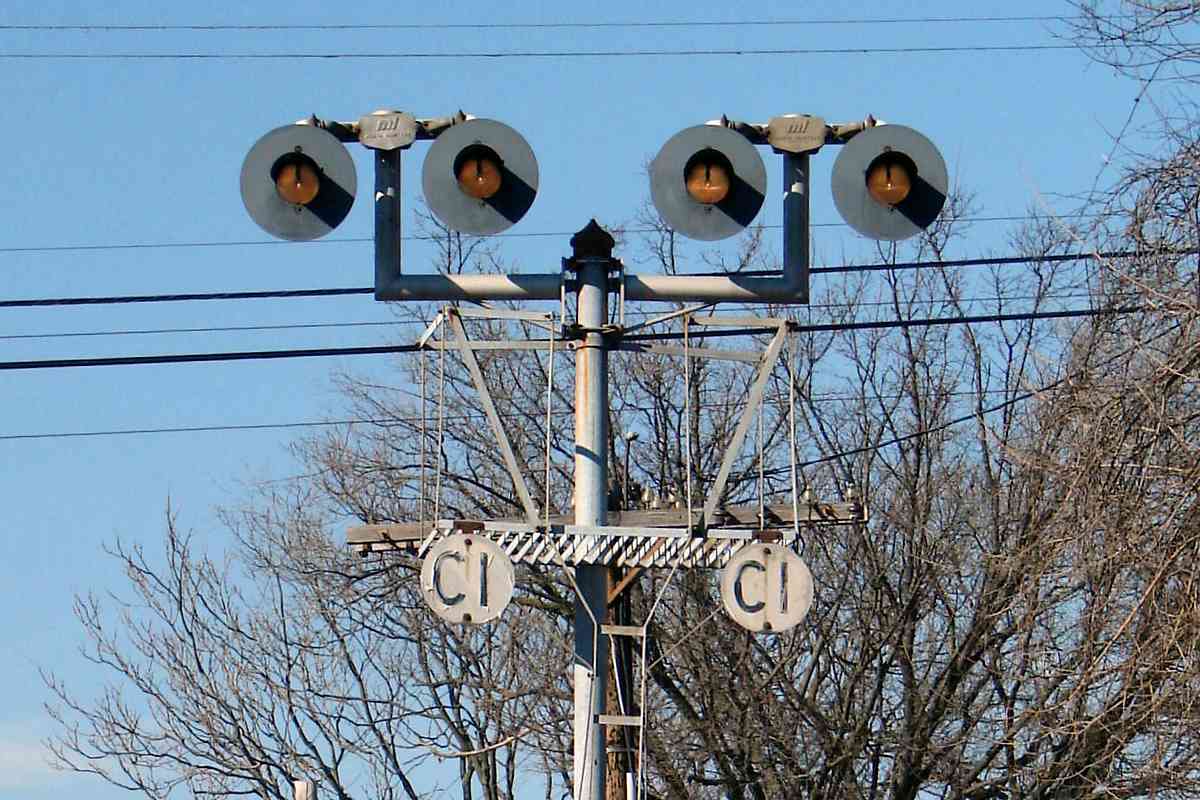
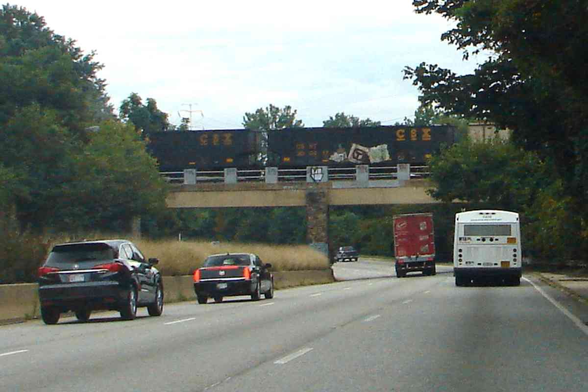
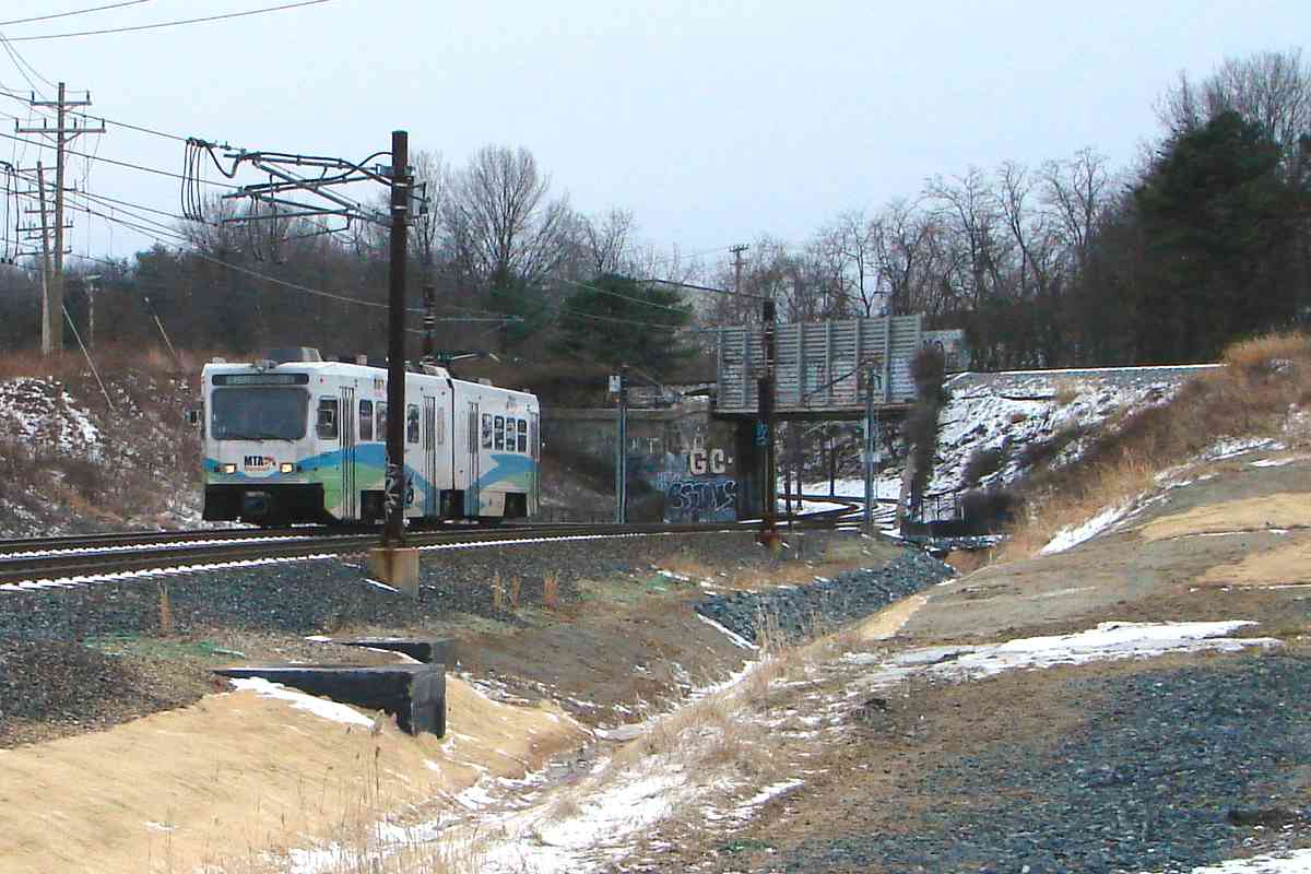
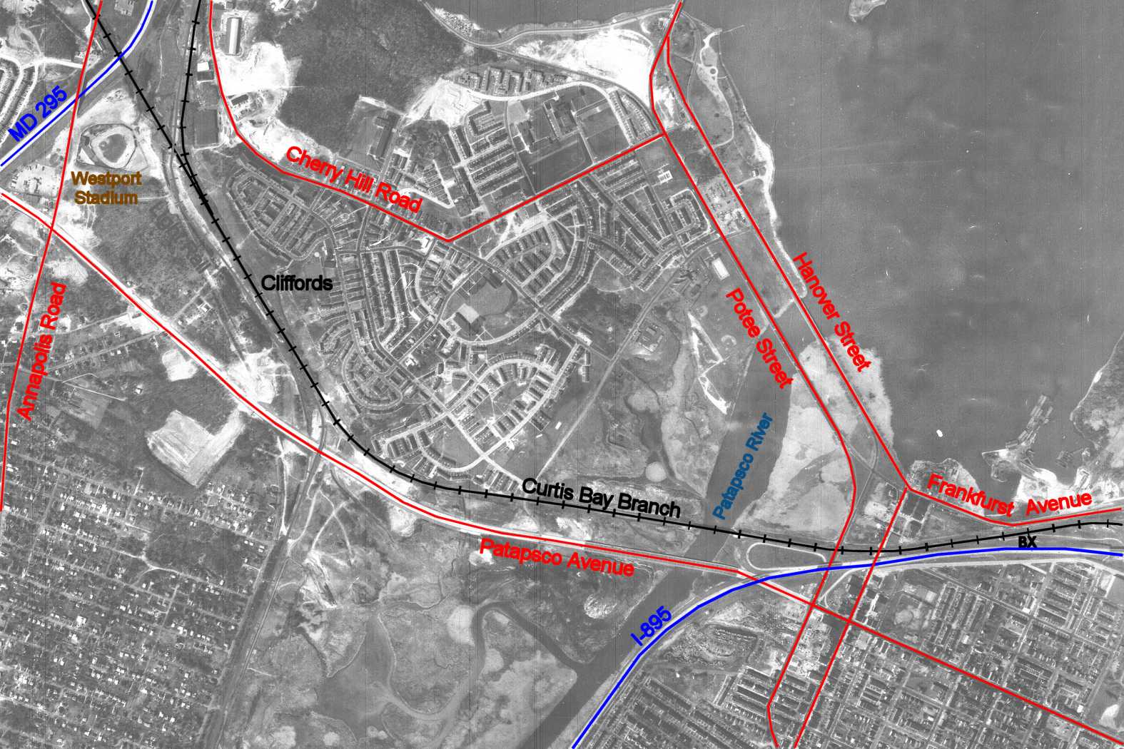
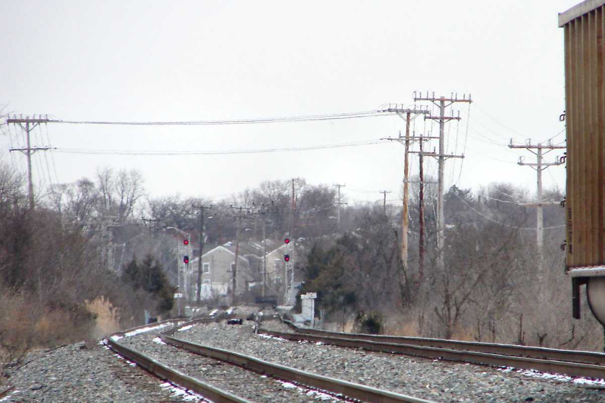
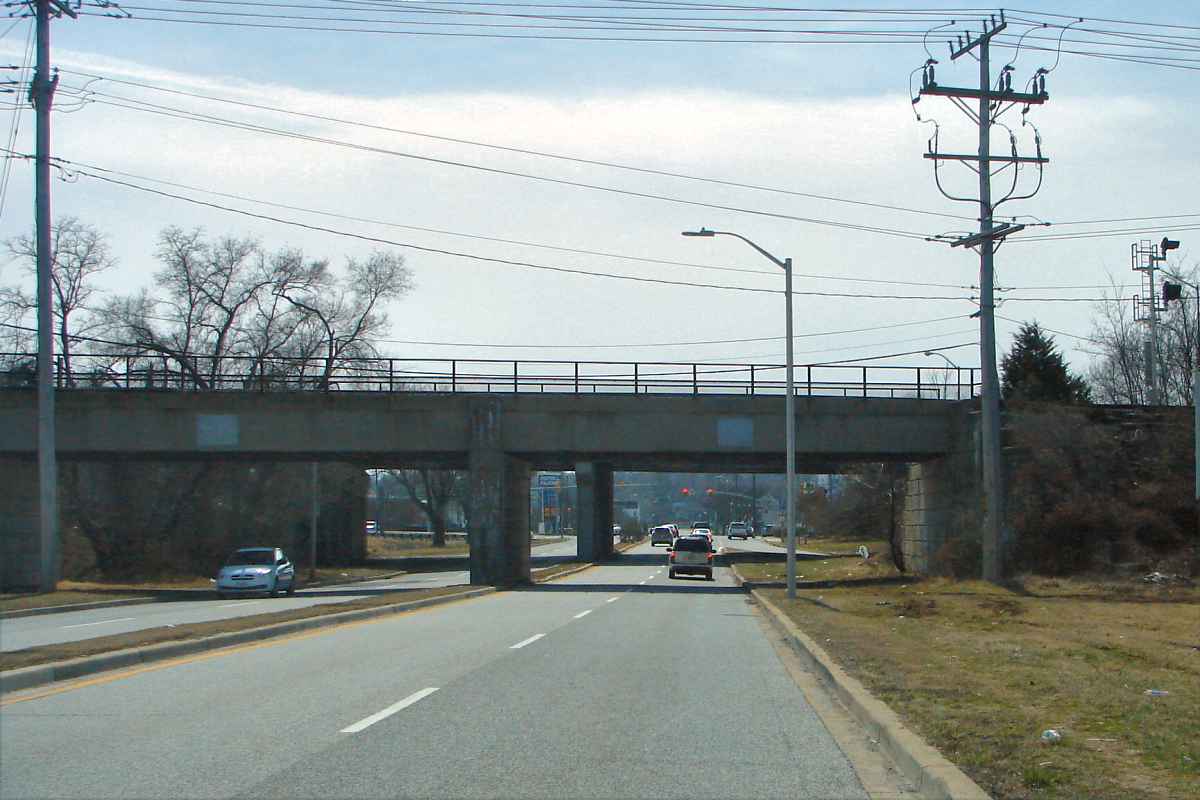
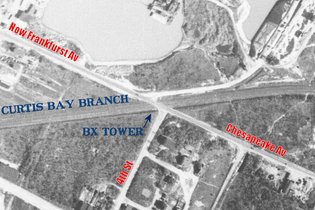
Though this light rail train has just crossed under the Curtis Bay Branch,
it is a relative newcomer. The bridge dates to 1914 when B&O declined
to allow the Maryland Electric Railways Company to continue to operate
the latter's trains upon B&O track from here into the city. The electric
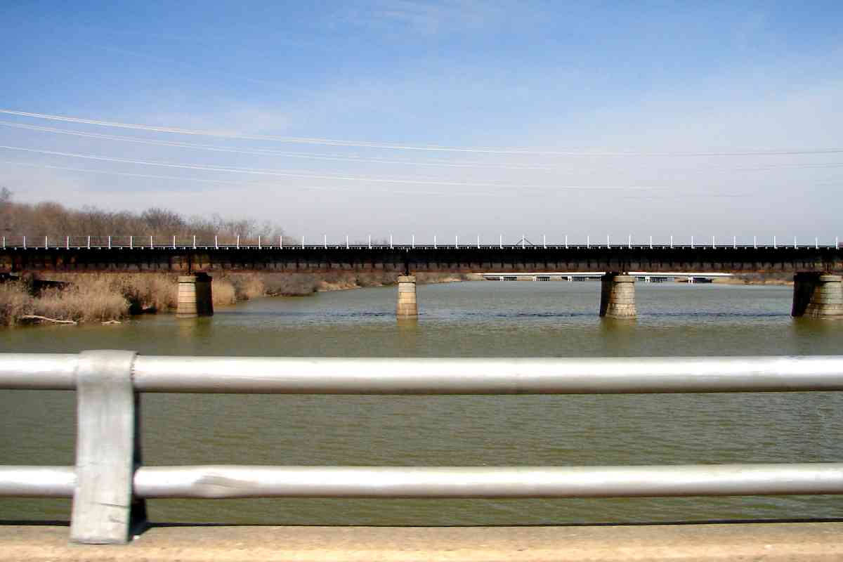
trains were rerouted onto their own right-of-way parallel to what was then
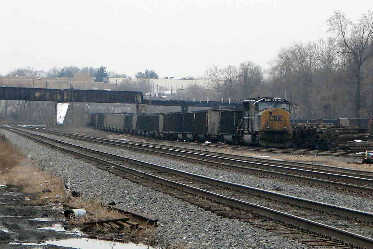
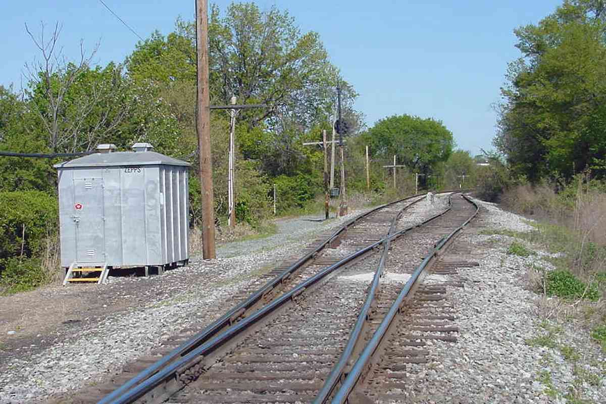
B&O's South Baltimore Branch.
The electric train companies struggled to compete, and went through several
reorganizations and names such as Annapolis and Baltimore Short Line,
Annapolis Short Line (ASL), Washington, Baltimore and Annapolis Electric
Railway (WB&A), and Baltimore and Annapolis (B&A).
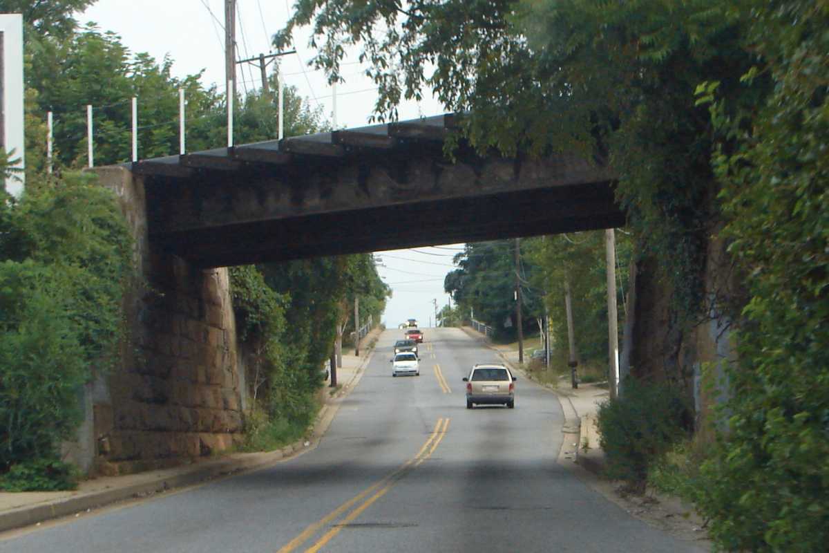
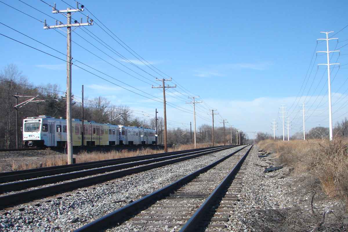
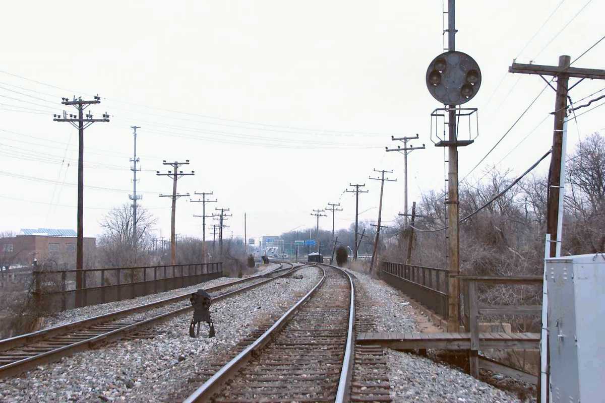
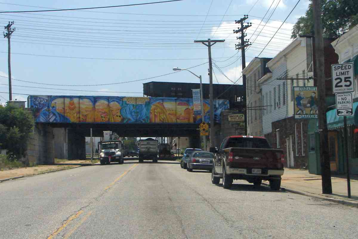
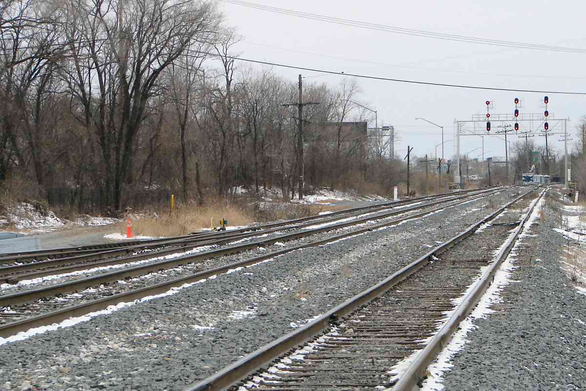
B&A's passenger service ended in 1950, and part of the right of way
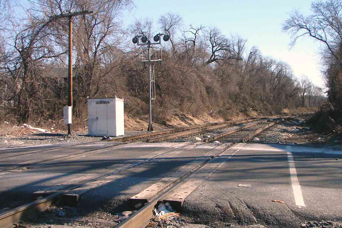
morphed into a semi-public road known as Urban Lane. For decades it was
possible for autos to drive under the bridge here, but now the unpaved Urban
Lane ends near the photographer's location. The Baltimore Light Rail system
revived B&A's old route around 1990 to provide passenger train service
between BWI Airport and Baltimore, plus many local stops.
Change for:
ASL/B&A tour at this site
Link:
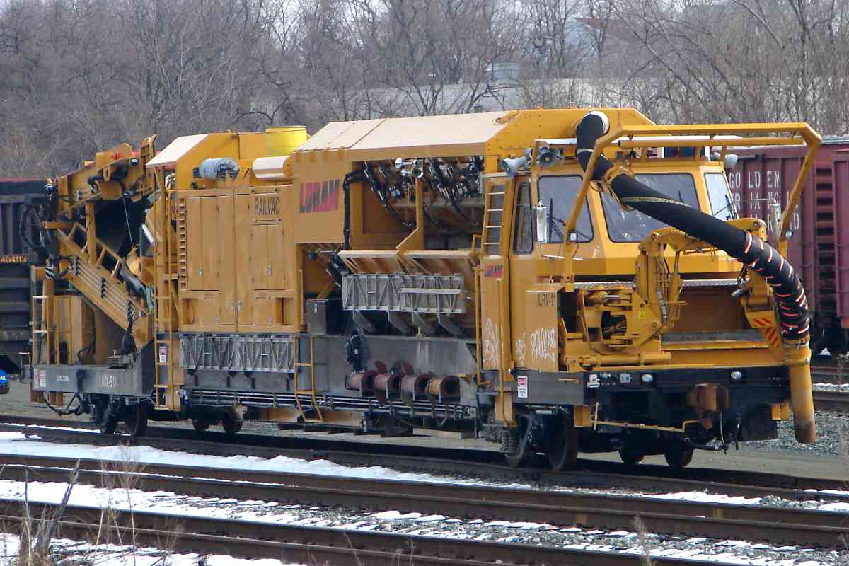
Auto-Railer 1935
|