TrainWeb.org Facebook Page
Baltimore Light Rail Photo Tour


Baltimore Light Rail
Modern day photo tour

Accompanying each photo below are:

Click a photo to see a larger view. Please send your comments and corrections to Steve.


<< Previous (main line) | THIS PAGE: BWI Spur | End of tour || main index

BWI Junction
Photo credit HH Harwood

BWI Junction
Mile: 0.0 spur Date: Dec 1997
Ease: B View: N
Area: B BLR:
Map: AA 2 F 9 Topographic Maps

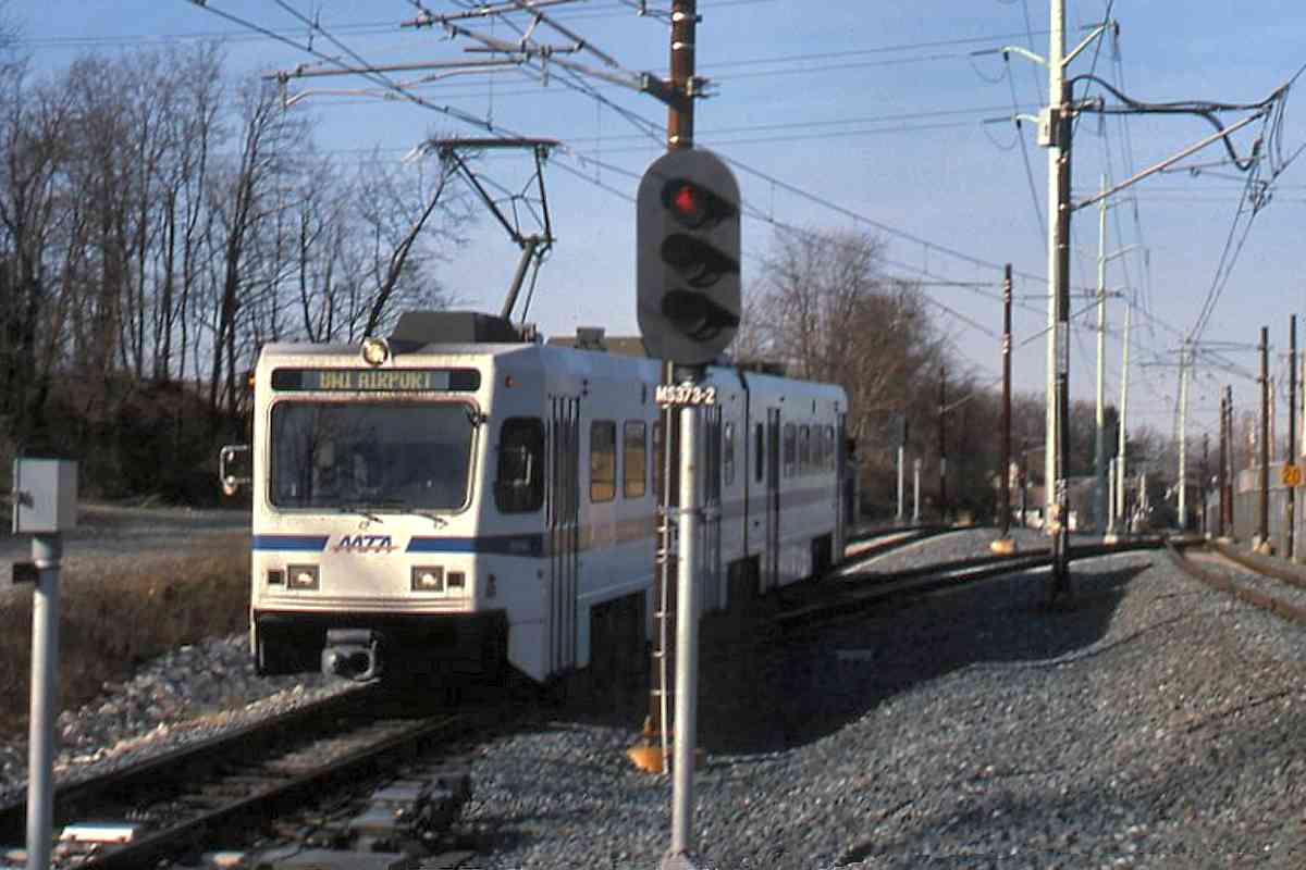
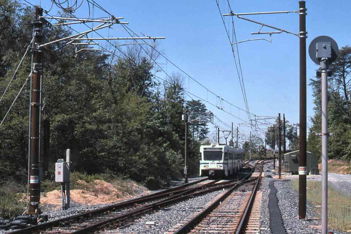
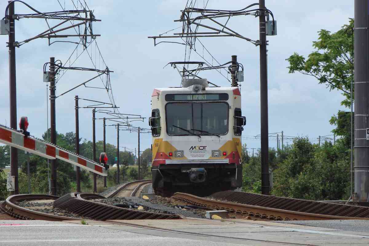
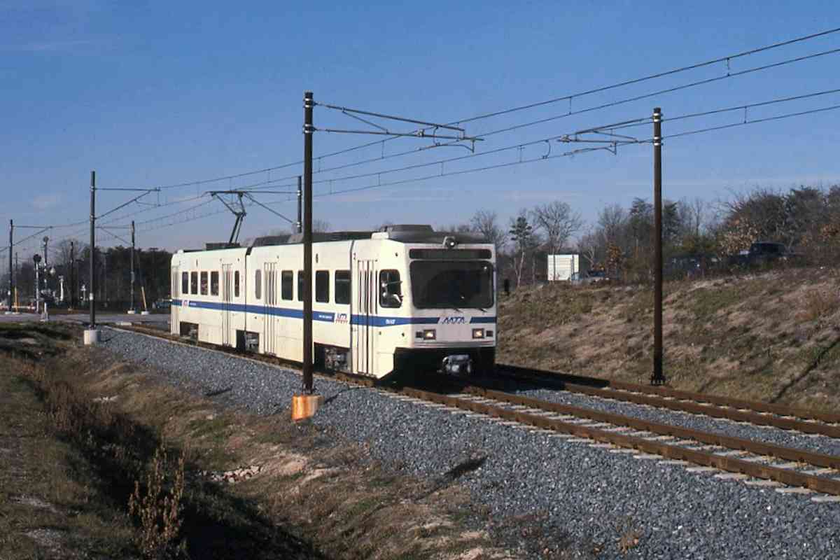
An initially-single-tracked spur to BWI Airport (off photo-left) opened December 1997 and Harwood was there to document one of the first revenue trips upon it.


New RoW
Photo credit HH Harwood

New RoW
Mile: 0.0 Date: Jan 1998
Ease: B View: SW
Area: B BLR:
Map: AA 2 F 9 Topographic Maps

The spur was built along a new right of way, that is, one not formerly used by a railroad.


MTA 5049

MTA 5049
Mile: 0.2 Date: Sep 2021
Ease: A View: NE
Area: A- BLR:
Map: AA 2 E 9 Topographic Maps

MTA 5049 is rounding the same curve as in the prior photo, but as seen from the opposite direction at Andover Road.


Andover Road

Andover Road
Mile: 0.2 Date: Sep 2021
Ease: A View: E
Area: A- BLR:
Map: AA 2 E 9 Topographic Maps

The paved area at the Andover Road grade crossing is unusually expansive.


Single Track
Photo credit HH Harwood

Single Track
Mile: 0.2 Date: Aug 2000
Ease: B View: SW
Area: A- BLR:
Map: AA 2 E 9 Topographic Maps

Just west of Andover Road what had been single track split into double track, plus a pocket track.


Double Track
Photo credit HH Harwood

Double Track
Mile: 0.2 Date: May 2005
Ease: B View: SW
Area: A- BLR:
Map: AA 2 E 9 Topographic Maps

Most of the BWI spur was double tracked by 2005.


Pocket Track
Photo credit HH Harwood

Pocket Track
Mile: 0.4 Date: ~2005
Ease: B View: E
Area: A- BLR:
Map: AA 2 E 9 Topographic Maps

There's no room at BWI for a yard, so this pocket track (on left in this reverse view) permits one light rail train to be staged along the spur.


WB&A Mound

WB&A Mound
Mile: 0.7 Date: Sep 2021
Ease: A View: NE
Area: A- BLR:
Map: AA 2 D 10 Topographic Maps

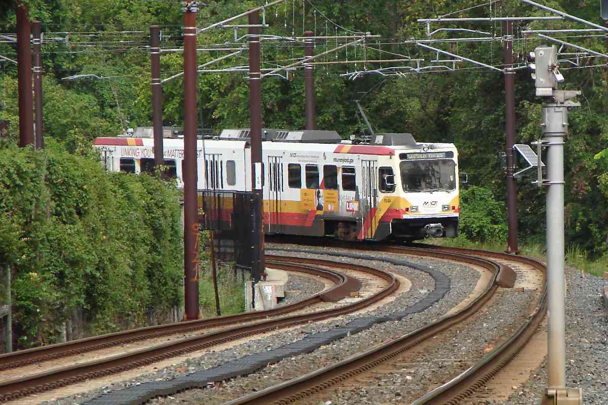
West of the pocket track, MTA 5049 climbs over a small mound that had been enhanced around 1908 by the Washington, Baltimore and Annapolis Electric Railway (WB&A) to ease up to a bridge over Camp Meade Road. The green signs stand adjacent that road, which light rail parallels for a short distance.

Change for: WB&A tour at this site


Aerial 1938
Photo courtesy Johns Hopkins University

Aerial 1938
Mile: Date: Apr 1938
Ease: View: N (up)
Area: BLR:
Map: AA 2 E 10 Topographic Maps

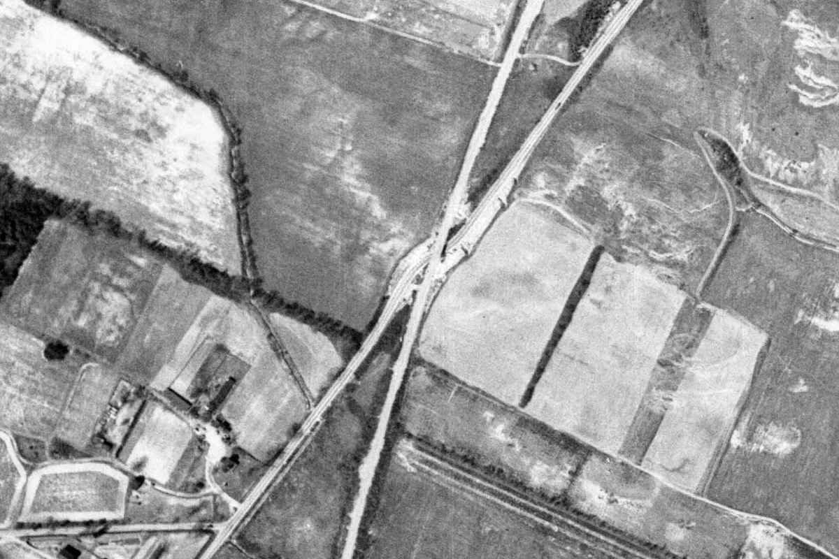
That mound bordered the intersecting bright lines in this 1938 aerial. The WB&A is the more vertical of the two bright lines, Camp Meade Road is the other; where they intersect there appears to be a ramp that connects the WB&A and the road. That may have been temporary to facilitate dismantling of this part of the WB&A after the company shuttered during 1935.


Culverts

Culverts
Mile: 0.7 Date: Sep 2021
Ease: A View: NE
Area: A- BLR:
Map: AA 2 D 10 Topographic Maps

The new right of way received modern culverts like this.


The Planes

The Planes
Mile: 0.7 Date: Jun 1999
Ease: A View: SW
Area: A- BLR:
Map: AA 2 D 10 Topographic Maps

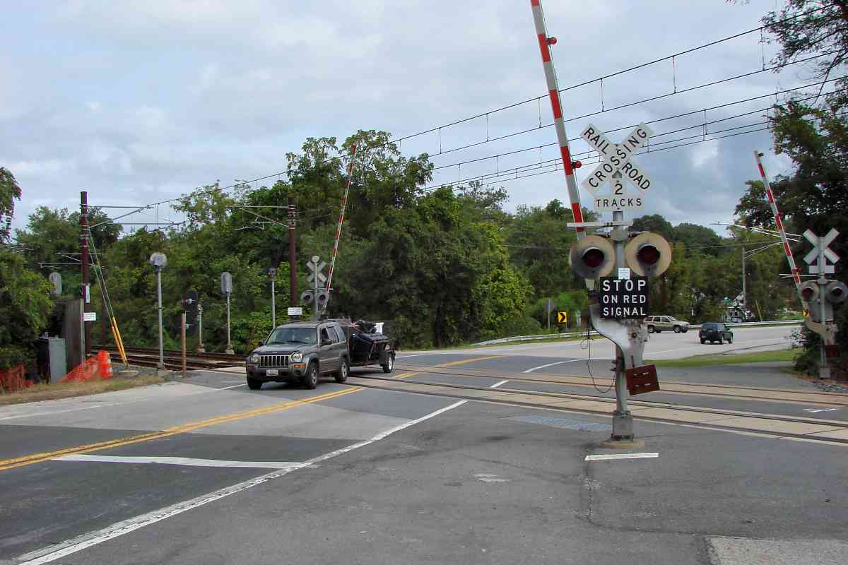
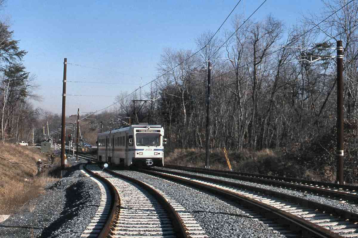
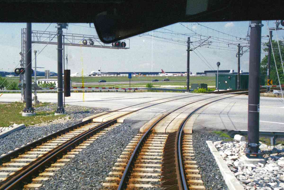
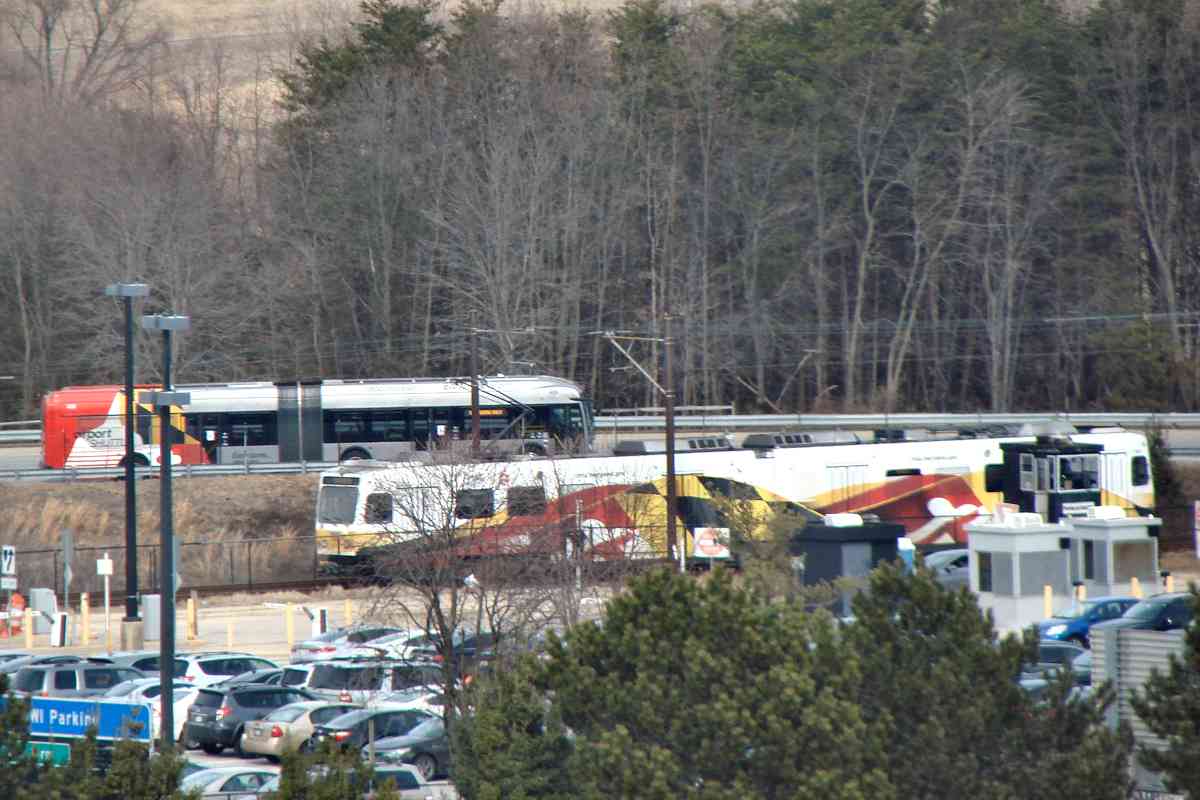
One can see the planes from the train at this Camp Meade Road (MD 170) grade crossing.

Friendship Cemetery, 2021 
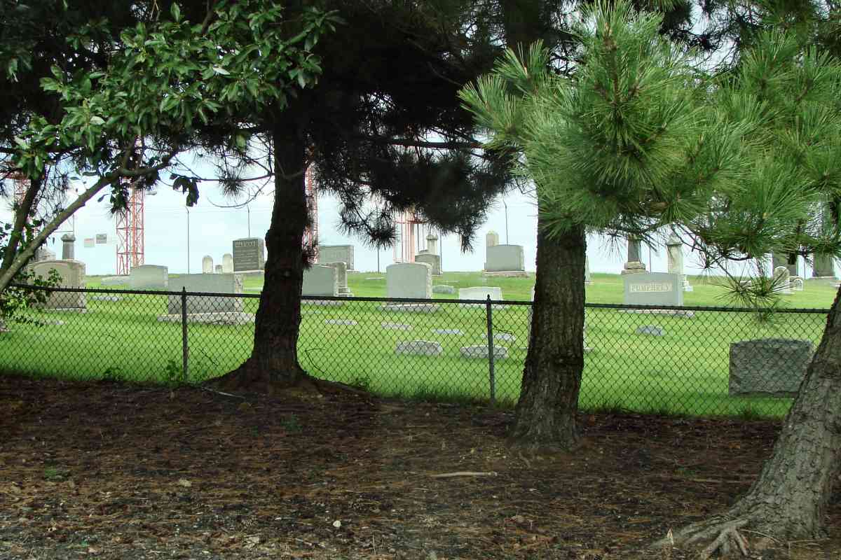
Before renamed to BWI, Friendship Airport opened at this site during 1957. Bond films, always looking to incorporate whatever was new at their time, mention the airport in Goldfinger. Friendship Church lent not only its name to the airport but also its cemetery (right), which still exists just four jet-lengths from a main runway. The red stanchions in the background support runway lighting and other equipment.


Overhang

Overhang
Mile: 0.7 Date: Sep 2021
Ease: A View: W
Area: A- BLR:
Map: AA 2 D 10 Topographic Maps

Light rail cars overhang their wheels by what would seem to be an excessive distance, but it has not been a problem.


Guard Rails

Guard Rails
Mile: 0.7 Date: Sep 2021
Ease: A View: W
Area: A- BLR:
Map: AA 2 D 10 Topographic Maps

Curves are equipped with guard rails on the inside to reduce the risk of derailment.


Superelevated

Superelevated
Mile: 1.1 Date: Sep 2021
Ease: B+ View: E
Area: A- BLR:
Map: AA 2 C 10 Topographic Maps

Even with guard rails, tracks are superelevated (one rail higher than the other) at curves, as illustrated by the tilting MTA 5006.


MTA 5017
Photo credit HH Harwood

MTA 5017
Mile: 1.1 Date: ~2005
Ease: B+ View: NW
Area: A- BLR:
Map: AA 2 C 10 Topographic Maps

The grade crossing ahead is for an extended Elkridge Landing Road.


Equipment

Equipment
Mile: 1.6 Date: Feb 2021
Ease: A View: N
Area: A- BLR:
Map: AA 2 C 11 Topographic Maps

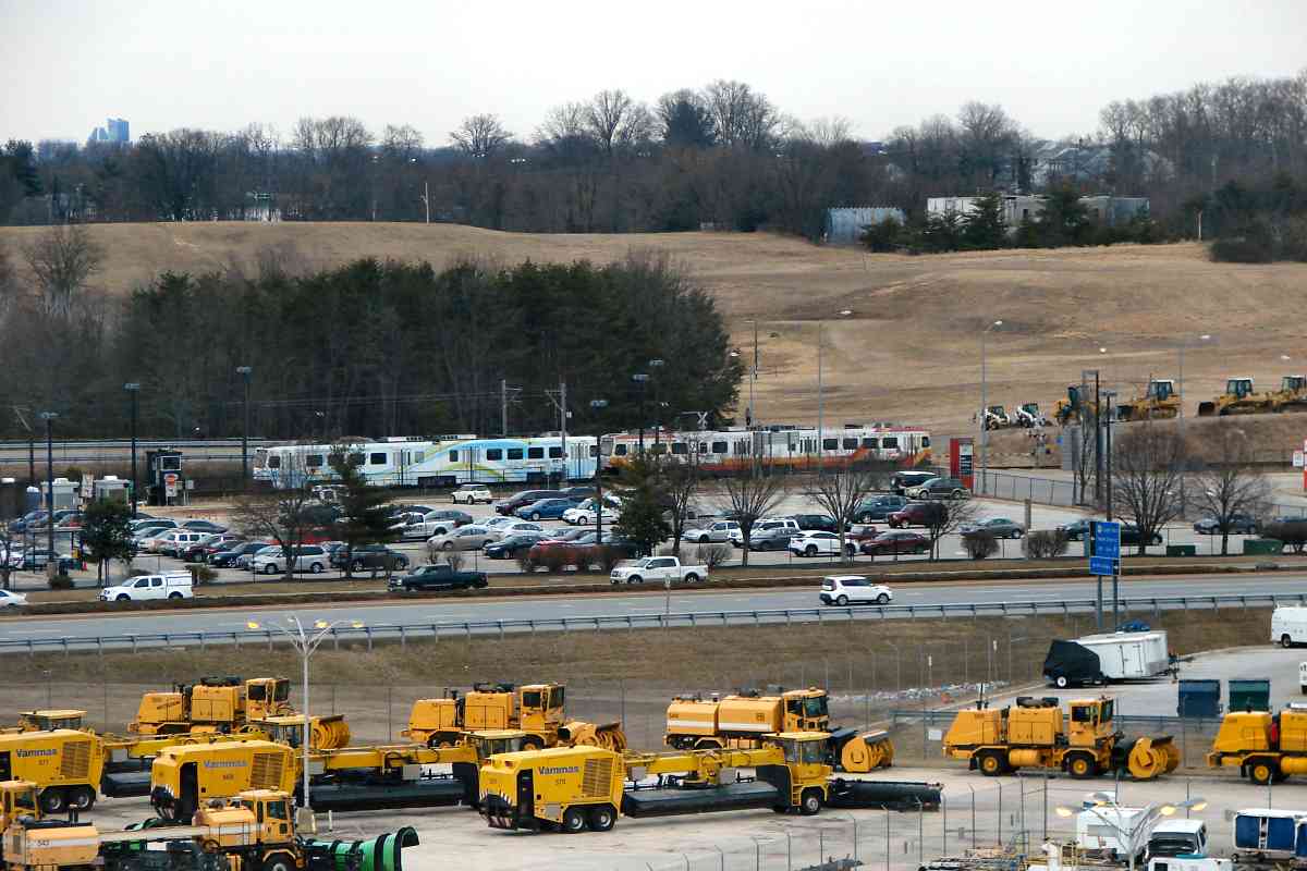
Light rail's BWI Business District station is well east of the busiest part of that district. Nearest the station are runway Prime Air, Feb 2021 approaches, parking lots, and snow removal equipment storage.

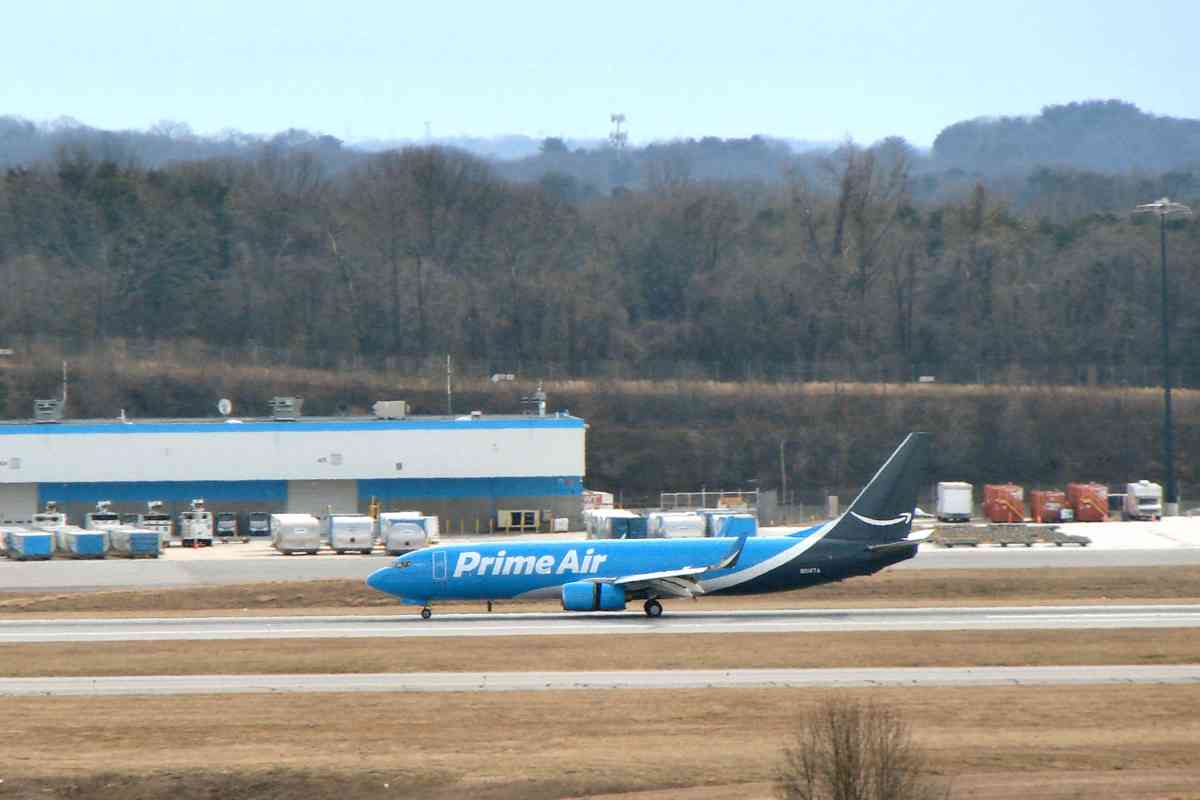
Amazon's warehouse at the airport is 50% longer than B&O's warehouse at Camden Yards, the latter noted for being the longest brick building along the US East Coast. Amazon's warehouse is designed for expansion to a half-mile in length. If you live near BWI Airport, an Amazon Prime plane will drop your ordered items to your home via parachute. (No, not really.)


Matching Buses

Matching Buses
Mile: 1.6 Date: Feb 2021
Ease: A View: N
Area: A- BLR:
Map: AA 2 C 11 Topographic Maps

Airport circulator buses so badly want to be railcars that they emulate not only MTA 5031's Maryland state flag paint but also its articulated design.


BWI Business District

BWI Business District
Mile: 1.2 Date: Feb 2021
Ease: A View: E
Area: A- BLR:
Map: AA 2 C 10 Topographic Maps

The BWI Business District stop is one of the less-busy stations in the system. That's MTA 5037.


Signage Overload

Signage Overload
Mile: 1.5 Date: Jan 2018
Ease: A View: W
Area: A- BLR:
Map: AA 2 B 10 Topographic Maps

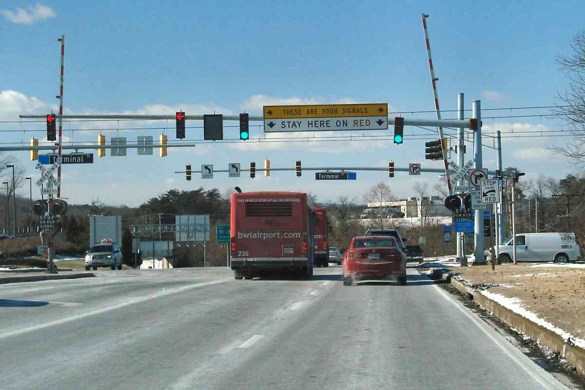
I have yet to grasp the point of the unusual signage at the Terminal Road grade crossing. "These are your signals." OK, at this spot they want drivers to ignore the more distant set of signals, but what is the purpose of those signals? At first, I thought the light rail grade crossing must be beyond the distant set, but no, the trains run closer than the distant set, as can be seen in the next photo.


Crossing 170

Crossing 170
Mile: 1.6 Date: Feb 2021
Ease: A View: N
Area: A- BLR:
Map: AA 2 C 11 Topographic Maps

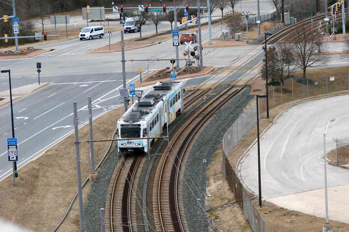
The aforementioned distant set of road signals can be glimpsed at the upper left. They would not prevent traffic moving right-to-left from conflicting with, in this case, MTA 5037. Those signals would seem to accomplish little but to add confusion, something especially bad at an intersection more likely than average to be visited by drivers from out of town.


Nearing Terminal

Nearing Terminal
Mile: 1.7 Date: Feb 2021
Ease: A View: SE
Area: A- BLR:
Map: AA 2 C 11 Topographic Maps

As light rail nears BWI's terminal and its pyramidal roofline, the route necks down to single track where space is limited. That's MTA 5031 departing.


Cargo

Cargo
Mile: 1.8 Date: Feb 2021
Ease: A View: E
Area: A- BLR:
Map: AA 2 C 11 Topographic Maps

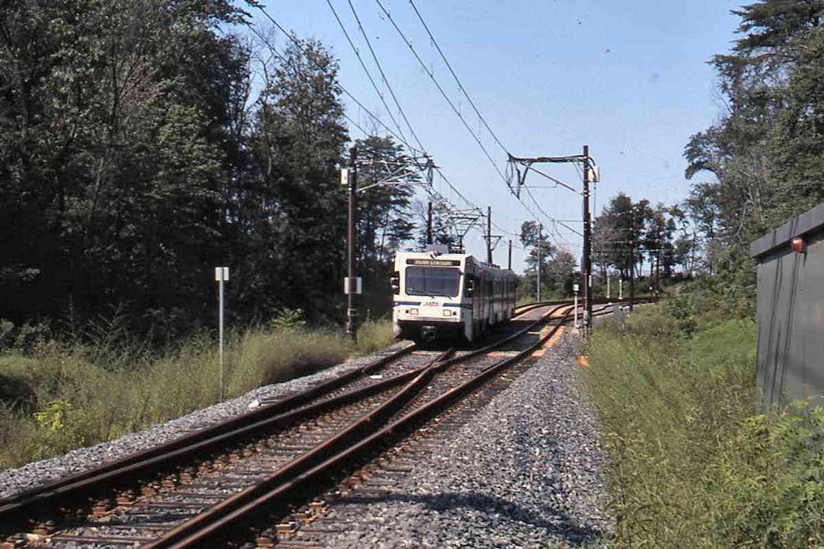
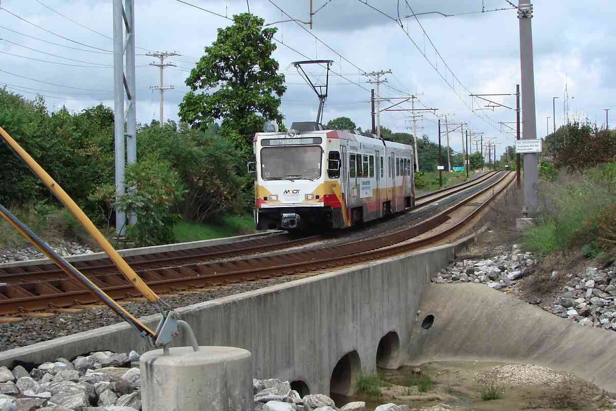
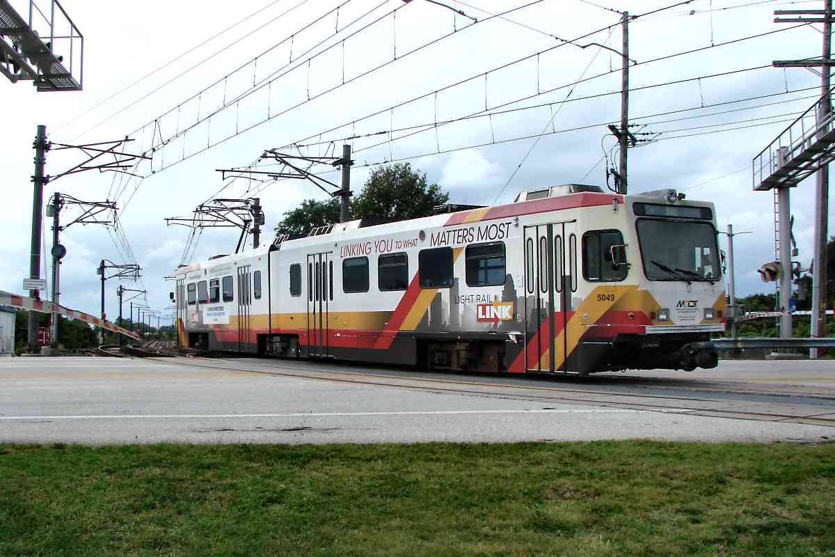
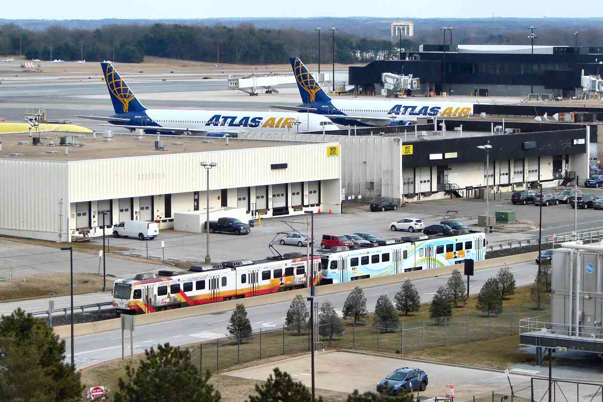
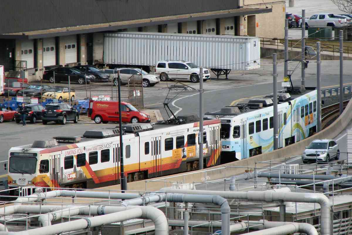
Along the single-track stretch, MTA 5049 and MTA 5032 pass Boeing 767 cargo planes. If you are wondering why cargo planes have so many windows, these have been converted from passeger service. The closer of the two, registration N640GT, began flying in 1991 with EVA Airways.

Link: plane spotters


S-Curve

S-Curve
Mile: 1.8 Date: Feb 2021
Ease: A View: SW
Area: A- BLR:
Map: AA 2 C 11 Topographic Maps

Next is an S-curve... note how the distant car is bending at its articulation point, as intended.


Five and Dime

Five and Dime
Mile: 1.9 Date: Feb 2021
Ease: A View: SE
Area: A- BLR:
Map: AA 2 C 12 Topographic Maps

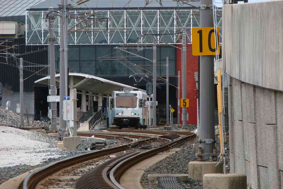
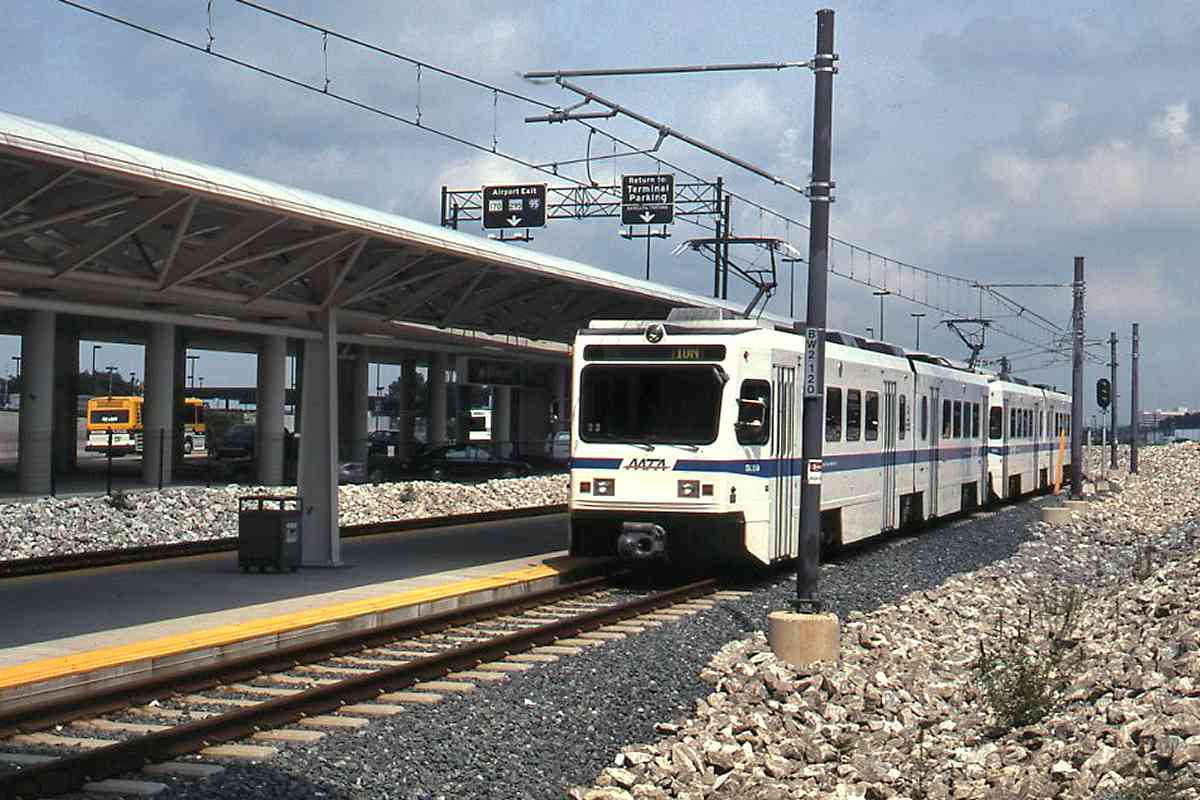
After the S-curve, the track splits to enter light rail's BWI Airport Station. Among other things, bigger 10 and 5 speed signs were added after two incidents of (intoxicated) operators approaching too fast and impacting the bumper at the end of the line.


Penn Bound
Photo credit HH Harwood

Penn Bound
Mile: 2.1 Date: ~2000
Ease: B View: NE
Area: A- BLR:
Map: AA 2 C 12 Topographic Maps

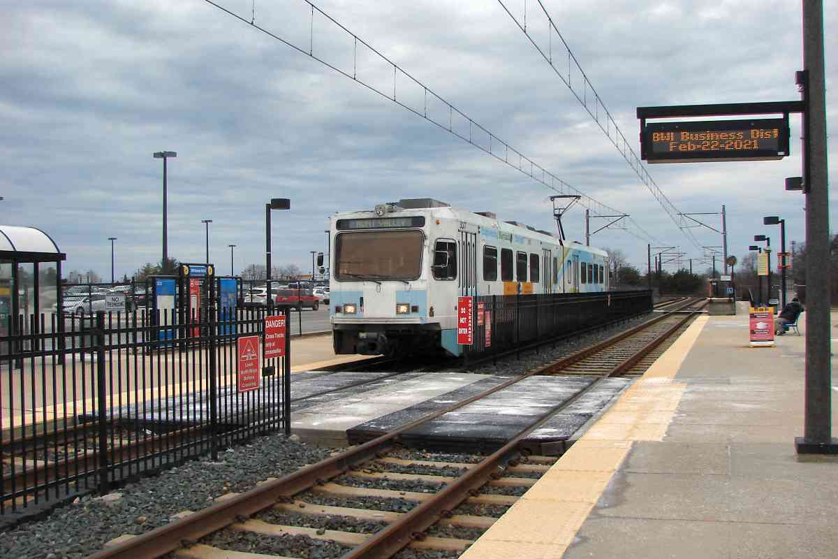
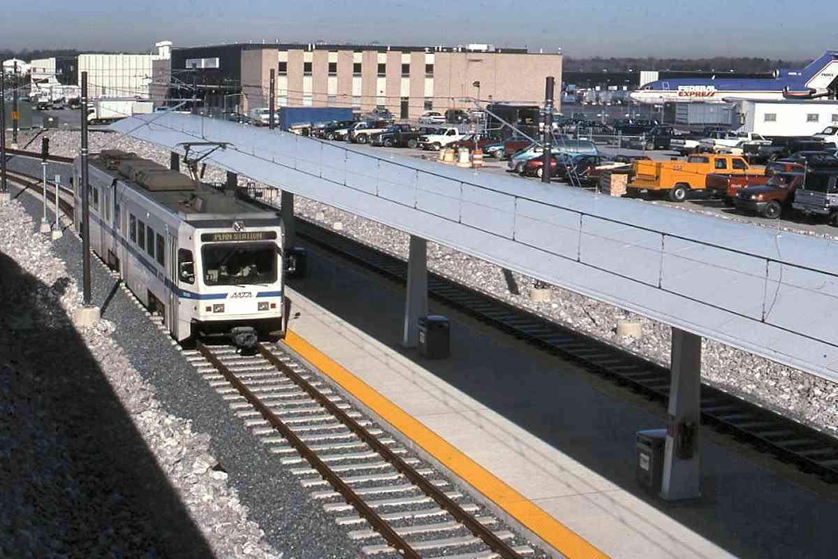
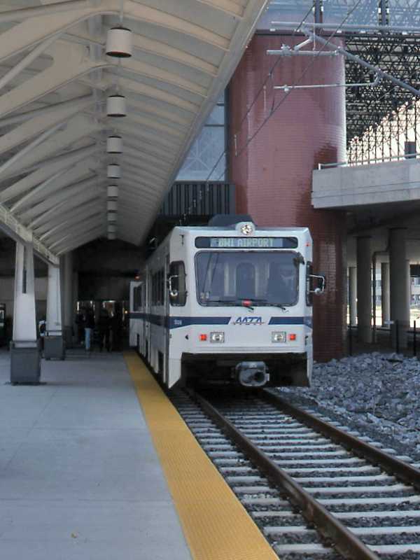
This train is departing for Penn Station, but Northeast Corridor trains can also be reached via shuttle bus from the airport to Amtrak's own BWI station.

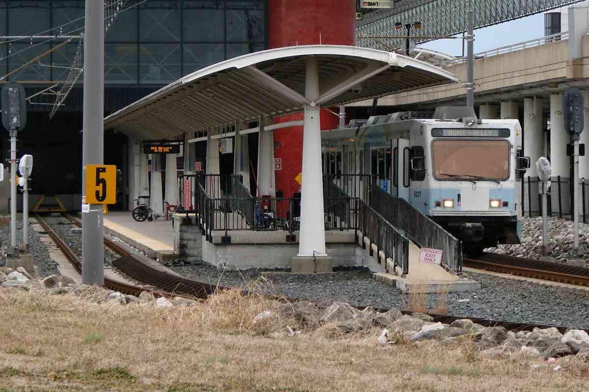
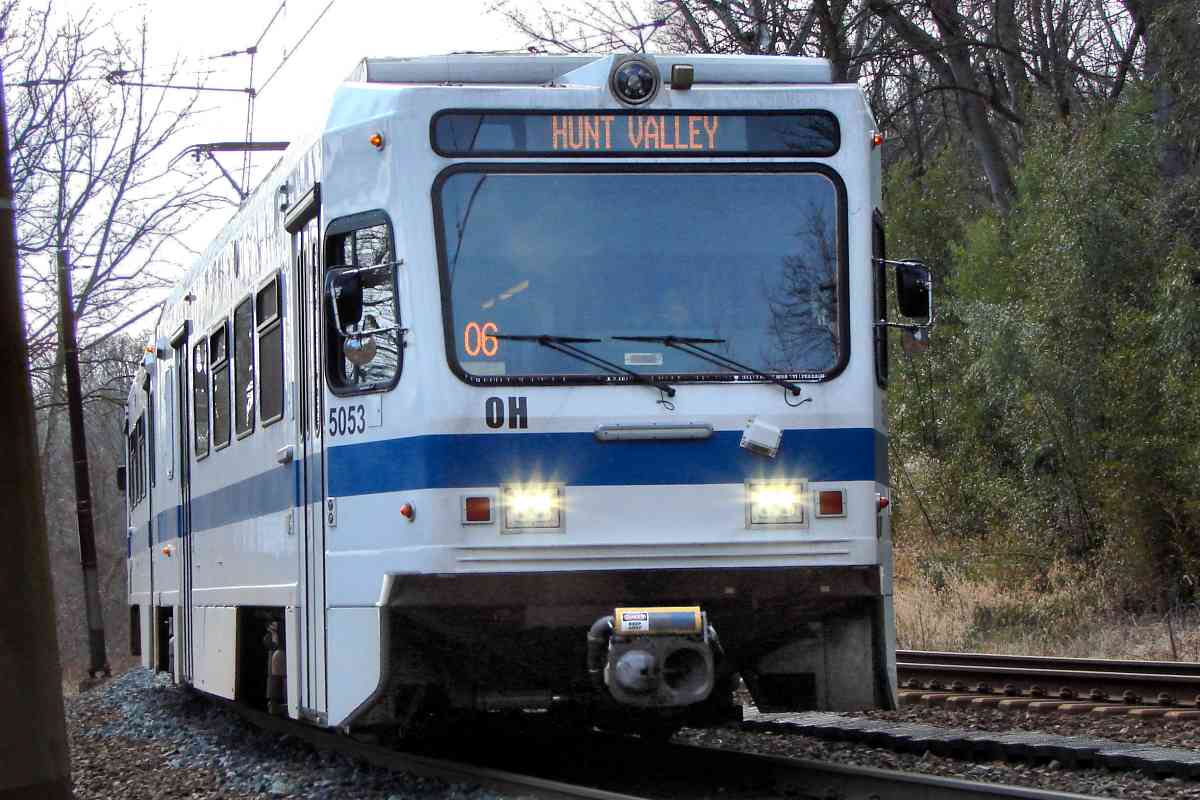
During the first few years after the BWI spur opened, trains departing BWI operated to Penn Station. That was changed such that as of this writing, those trains instead operate toward stops near the northern end of the line, typically either Timonium or Hunt Valley. That change seems logical as it is likely more people travel between BWI and the businesses in the Hunt Valley area than between BWI and Penn Station.

Change for: PRR / Amtrak tour at this site


BWI Airport Station

BWI Airport Station
Mile: 2.0 Date: Feb 2021
Ease: A View: SE
Area: A- BLR:
Map: AA 2 C 12 Topographic Maps

Airport patrons qualify for a canopy, the only one like this in the system. MTA 5037 waits partially underneath.


Arrival
Photo credit HH Harwood

Arrival
Mile: 2.1 Date: ~2000
Ease: B View: SE
Area: A- BLR:
Map: AA 2 C 12 Topographic Maps

Illuminated red tail lights tell you this train arrived recently. Bright concrete ties tell you the station was quite new at photo time.


Interior

Interior
Mile: (2.2) Date: Jun 1999
Ease: B View: SE?
Area: A- BLR:
Map: AA 2 C 12 Topographic Maps

Under the pyramidal roofline inside the terminal, one found/finds an airport history exhibit.


Departure
Photo credit HH Harwood

Departure
Mile: 2.1 Date: ~2000
Ease: B View: N
Area: A- BLR:
Map: AA 2 C 12 Topographic Maps

Light RailLink is a convenient and inexpensive way to travel between the airport and Baltimore city, and beyond. The system makes BWI one of the country's most-accessible airports.


The Baltimore light rail tour ends here. Thanks for following along!

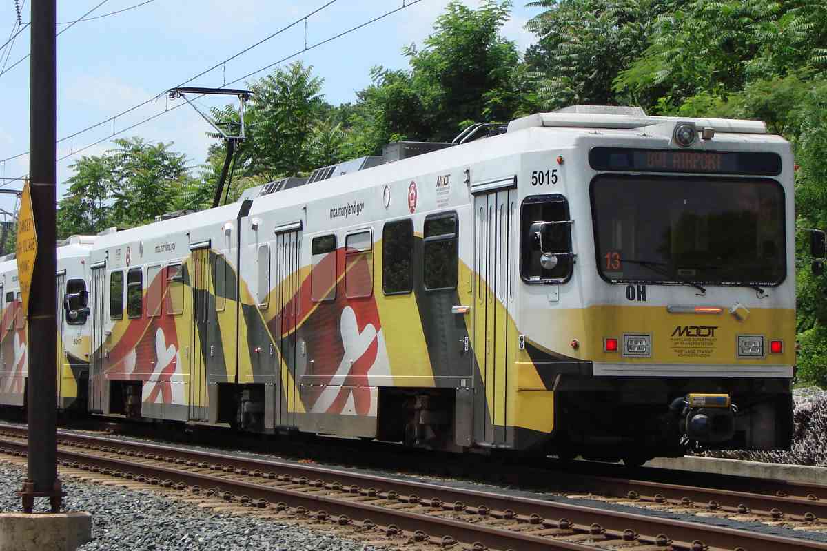
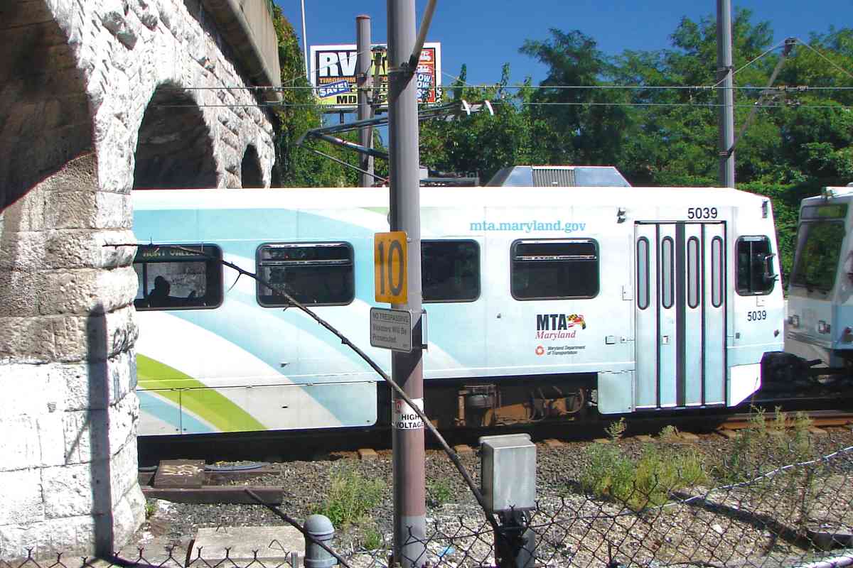
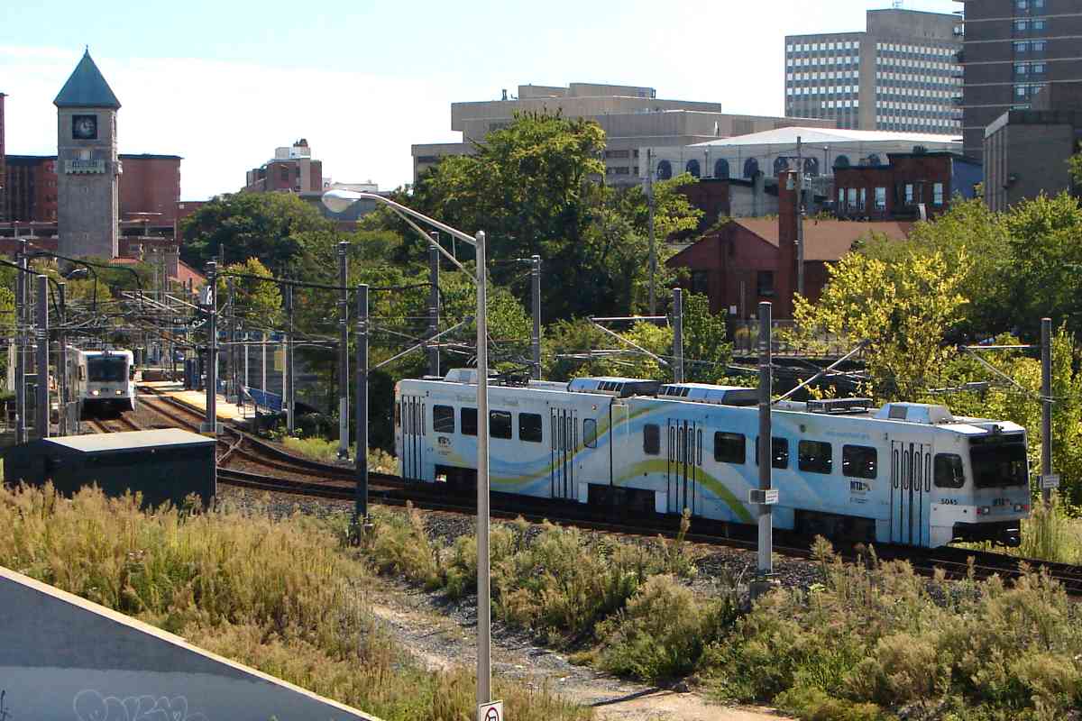
AWOL - Units that managed to evade depiction in the tour: 5013, 5039, 5045, 5053
MTA 5013, Jul 1999 MTA 5039, Sep 2016 MTA 5045, Sep 2016 MTA 5053, Feb 2020
Still on the run: 5009, 5011, 5015, and 5022.

You may enjoy heading back north from this area via the WB&A tour at this site,
or see light rail at Todd Sestero's site

<< Previous (main line) | THIS PAGE: BWI Spur | End of tour || main index

For more tours here now, select from the map: clickable map

Or, return to main page

Copyright Notice