TrainWeb.org Facebook Page
Old Main Line Photo Tour


B&O Old Main Line
Modern day photo tour

Accompanying each photo below are:

Click a photo to see a larger view. Please send your comments and corrections to Steve.


<< Previous (east) | THIS PAGE: Gwynn's Run to Curtis Bay Jct | Next (west) >>

Gwynn's Run
Updated late-Feb 2023

Gwynn's Run
Mile: 1.2 Date: Jan 2001
Ease: C View: N
Area: D IC2:
Map: Ba 42 G 2 Topographic Maps

At Gwynn's Run is found the first stone arched bridge west of Mt. Clare. It dates to before 1830, but was expanded in 1848. As will be illustrated as this tour progresses west, B&O's Freemason founders were fond of stone's permanency.

Subsequent development has impinged upon what otherwise could still be a pretty location: the streambed is littered with clumps of trash, and nearby sewer lines contribute a distinctive odor. The person in the photo provides perspective on the substantial size of this bridge. He appeared to be a homeless man searching for scrap metal. This is not the best part of town.

You won't find the other side of this bridge because it, along with much of Gwynn's Run, has been sequestered underground. About three miles north of here, the stream can be seen beginning its underground trek at a culvert on the north side of Gwynn's Falls Parkway west of Dukeland Street. Lake Ashburton and Wash Water Lake contribute to its flow, but old maps show Gwynn's Run originating just south of the CSX Hanover Subdivision's grade crossing with Cold Spring Lane. Perhaps the Cold Spring is the source.


First Stone Marker
Photo courtesy David Dudich

First Stone Marker
Mile: 1.2 Date: Unknown
Ease: C View: NW
Area: D IC2: 13, 217
Map: Ba 42 F 2 Topographic Maps

This spot, one mile west of Ostend Street, is the site of the ceremonial first stone laid by B&O. During the summer of 1828, Charles Carroll, last living signer of the US Declaration of Independence, turned the first spadeful of dirt to begin the construction of the railroad. The original stone has been moved inside the B&O Museum and this marker took its place. The marker is shrouded to discourage vandalism. The inscription reads "Site of the First Stone, Baltimore & Ohio Railroad erected July 4, 1828. Marking the 1st mile Baltimore and Ohio Railroad. Given by CSX Transportation to the B&O Railroad Museum March 18, 1992."


First Stone Marker 2

First Stone Marker 2
Mile: 1.2 Date: Jan 2001
Ease: C View: NW
Area: D IC2:
Map: Ba 42 F 2 Topographic Maps

Tucked within a tiny grotto, with its back to an ugly scrap metal facility, framed by two cars, the shrouded marker can be seen across the tracks. This tour measures distance from Mt. Clare Station (and the museum's roundhouse), some 1.2 miles east.

This is also where the spur from the museum meets up with active commerical railroad. Beginning during the 1960s, B&O was combined in stages with C& O and other lines into what is currently CSX Transportaion. CSX-owned routes in the city vicinity are part of their Baltimore Terminal Subdivision.


DC Metro Scrapping

DC Metro Scrapping
Mile: 1.2 Date: Feb 2016
Ease: B View: S
Area: D IC2:
Map: Ba 42 F 2 Topographic Maps

car car 
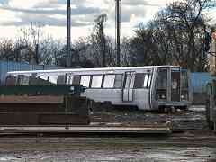
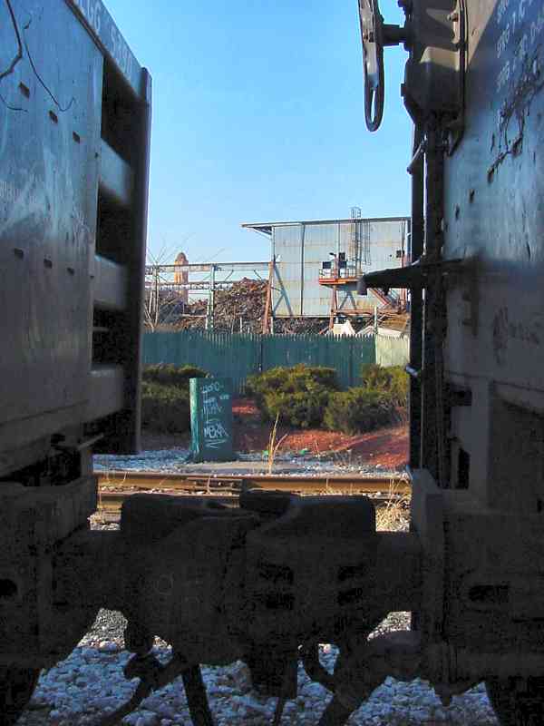
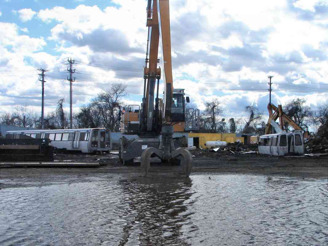
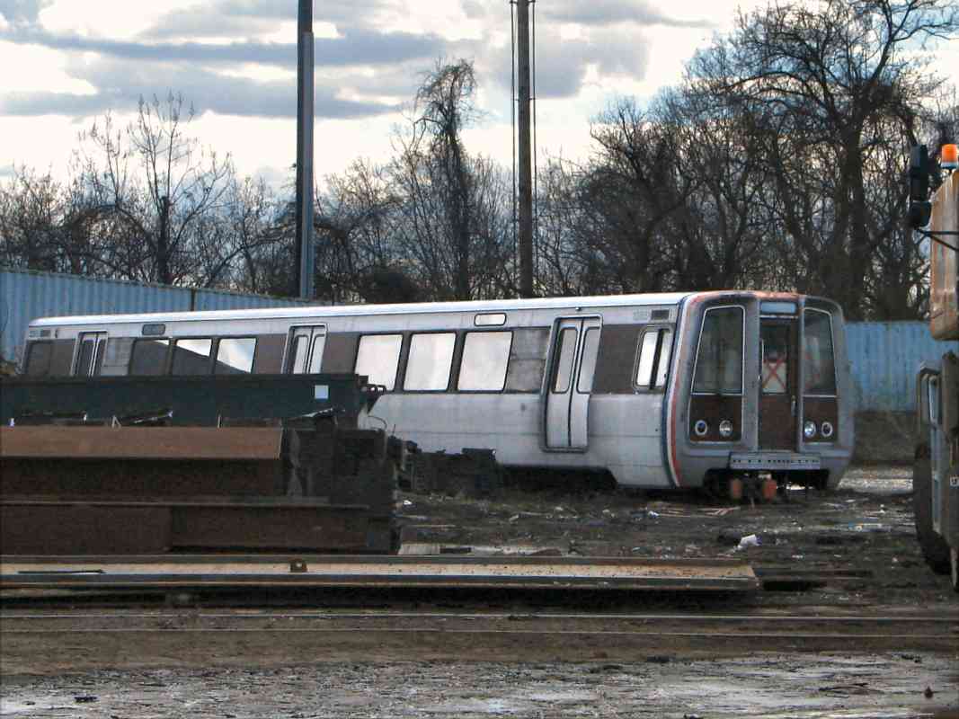
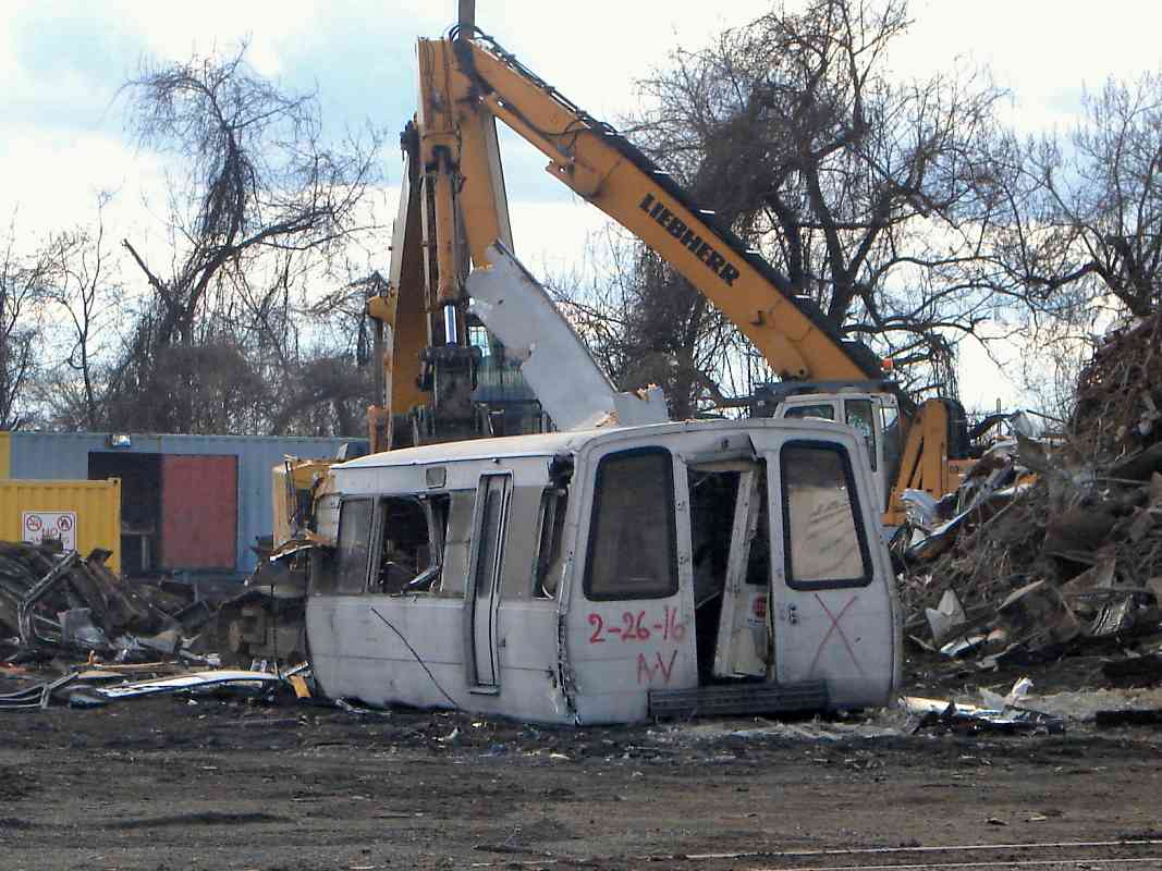
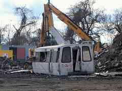
The Washington, DC Metro System does not (yet) reach this far north, but its oldest rolling stock, the 1000 series - aka 1K cars - are seen here being dismantled at Baltimore's United Iron and Metal Scrapyard. Taking on the duties of these 40-year-old originals are the Metro's 7000-series cars.

1950 by Sun 
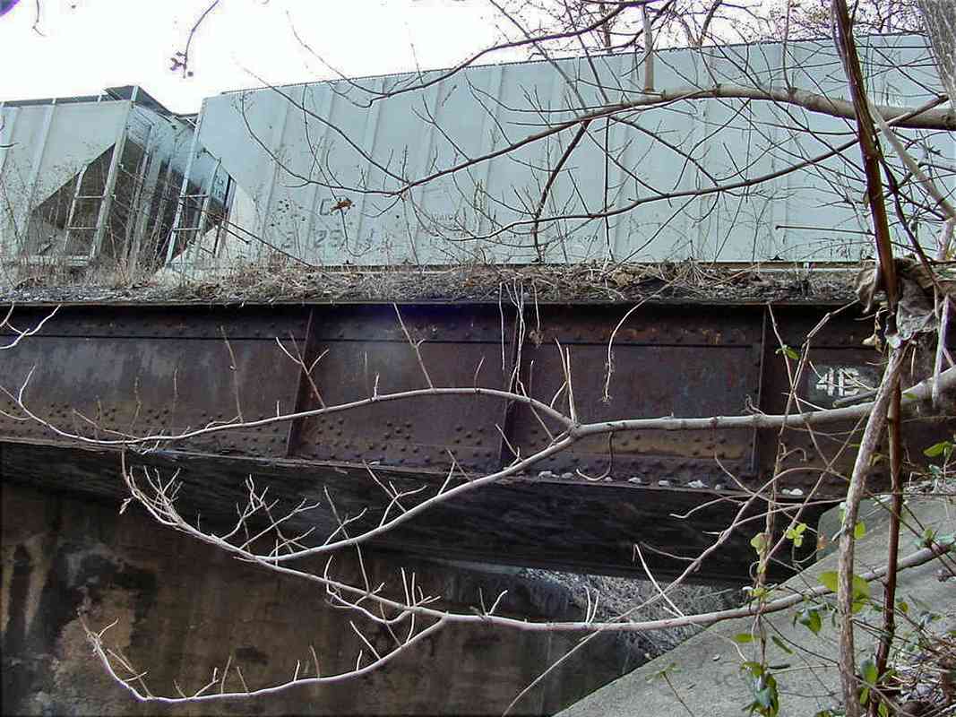
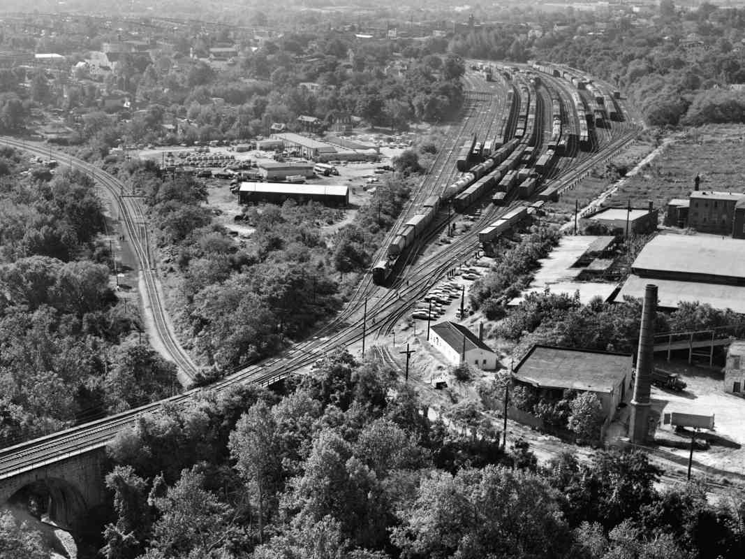
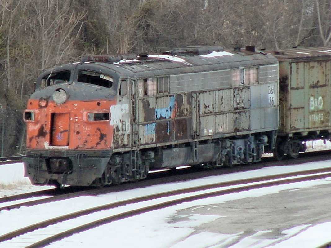
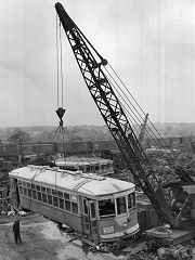
Metro's are not the first DC public transit cars to find their way here. This is the same location that scrapped many Capital Transit streetcars, such as number 506 seen at right during 1950 (photo courtesy Baltimore Sun). B&O railcars are in the background.

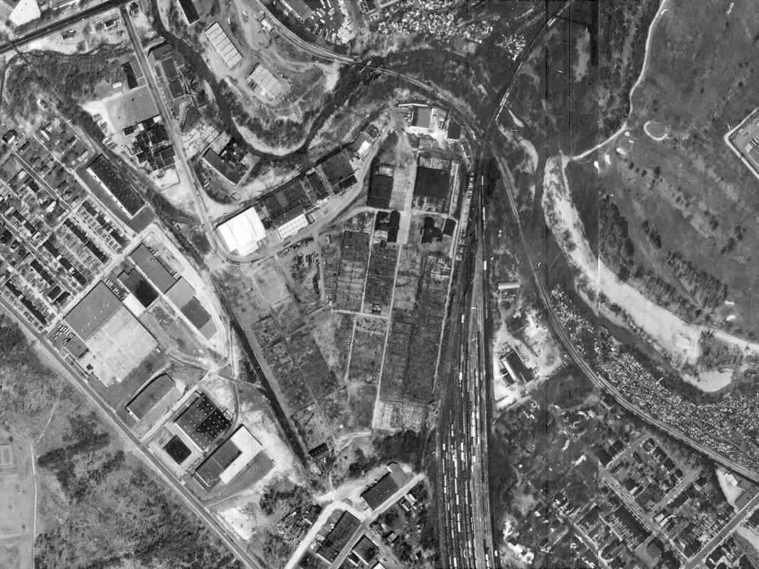
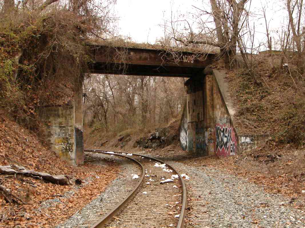
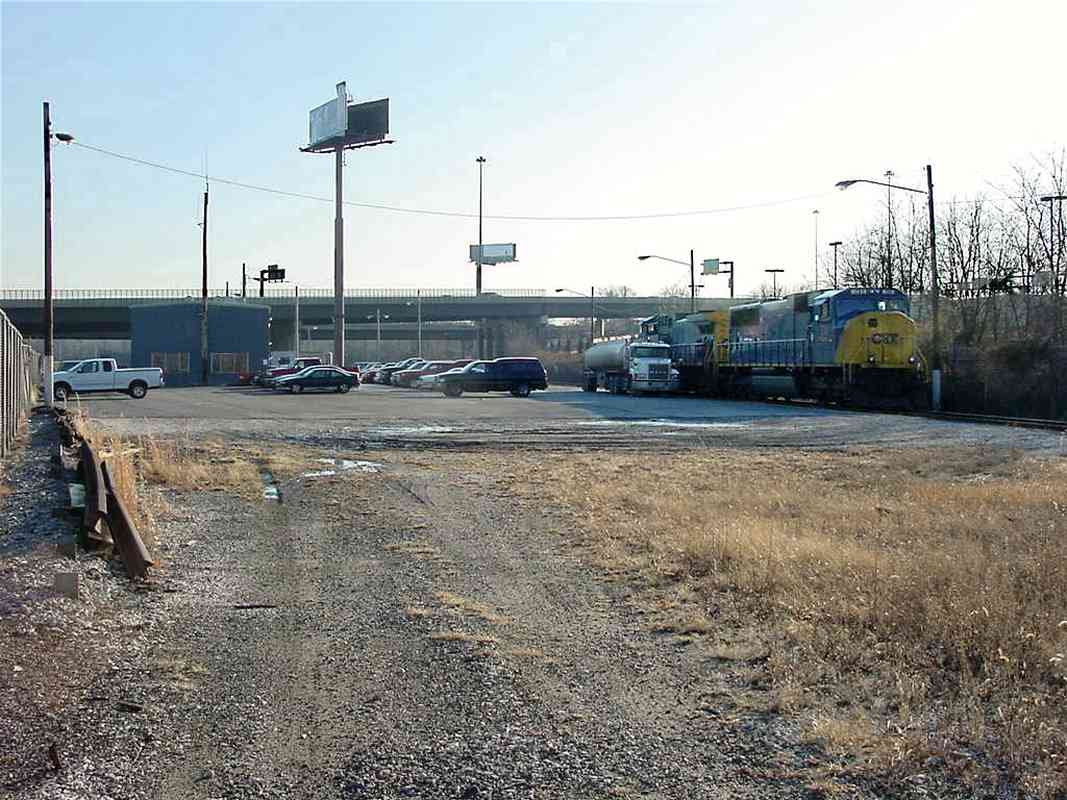
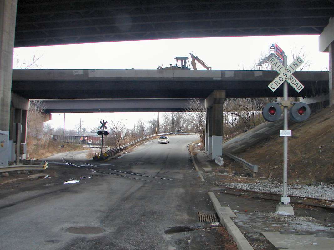
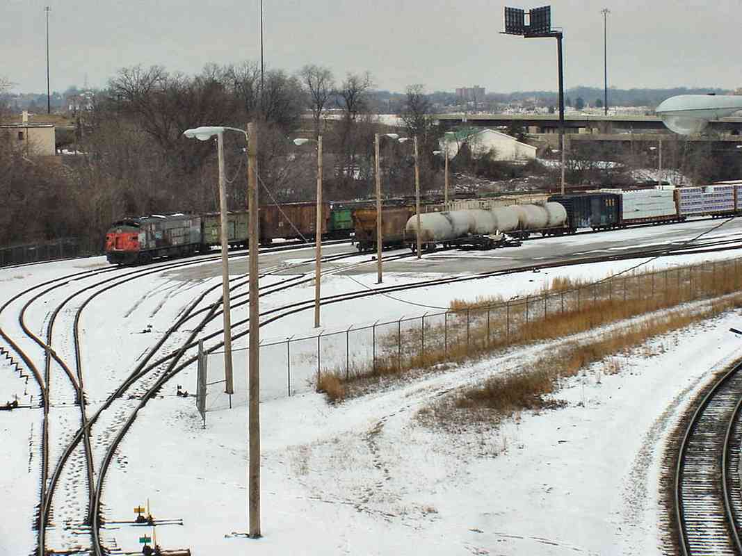
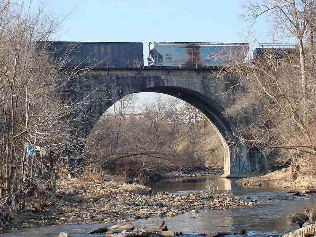
Two Metro cars per week have been retired and trucked up I-95 from the Metro's Greenbelt Yard, a rate too slow to justify their transport by rail. Furthermore, towing them on CSX's equivalent route is complicated by incompatible braking and couplers, though they could be lifted onto flatcars. A rusty siding into the scrapyard would need cleanup too.

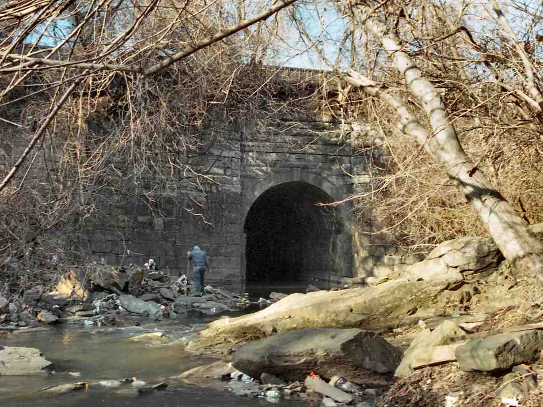
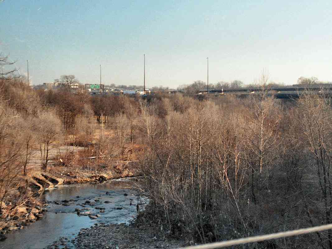
Before becoming a scrap yard, this site had hosted a brick yard and Millington Mill.

Links: other uses of retired cars, being offloaded


Carrollton Viaduct

Carrollton Viaduct
Mile: 1.4 Date: Oct 2010
Ease: B View: N
Area: C+ IC2: 35, 339, 386
Map: Ba 42 F 3 Topographic Maps

Built in 1829, the Carrollton Viaduct is the oldest surviving railroad bridge in the world. It remains in active use in its original form, a tribute to its designers and builders. No bridge in the world has been in railroad use for a longer period. The viaduct is 297 feet in length and spans the Gwynns Falls (river).

2001 B&O wanted to build south out of Baltimore, but politicians feared that doing so would encourage the development of a new, competing port along the Patapsco River, a few miles outside the city. So, they enacted a law specifying that B&O's route must cross the city line at an elevation of 66 feet above sea level. This forced the railroad to build SW rather than S from Mt. Clare, and cross streams at a higher elevation, thereby necessitating expensive hand-built structures like this viaduct. The viaduct is named in honor of Charles Carroll who owned the land in this vicinity.

Links: Library of Congress ~1971, builder's stone


Gwynns Falls Trail

Gwynns Falls Trail
Mile: 1.4 Date: Oct 2010
Ease: B View: SE
Area: C+ IC2:
Map: Ba 42 F 3 Topographic Maps

Unsealed in 2005 after being closed for decades is the former carriageway under the southwestern side of Carrollton Viaduct. It's now part of the Gwynns Falls Trail.

Interstate 95 passes about 1000 feet from the viaduct, but you'd never know it. The viaduct is hidden in tree growth and surrounded by industry and a golf course. The best access is by hiking or biking the Gwynns Falls Trail, but note the trail passes through some less-than-great sections of town.

Link: trail info


Pont de la Margineda
NEW! late-Feb 2023

Pont de la Margineda
Mile: Date: Oct 2022
Ease: A- View: E
Area: IC2:
Map: Andorra Topographic Maps

During the 1820s, B&O engineers visited Europe to observe and learn bridge building techniques. Europeans have been building stone bridges for thousands of years. Dating to around 1400 (sources vary), and with a single arch like the Carrollton Viaduct, the Pont de la Margineda is Andorra's oldest surviving bridge. Differing masonry at the near end suggests modifications or repairs were made at some time. This bridge is about 100 feet long.

Link: Wikipedia entry


At Carrollton Viaduct

At Carrollton Viaduct
Mile: 1.4 Date: Jun 1999
Ease: C View: NE
Area: C IC2:
Map: Ba 42 F 3 Topographic Maps

This photo looks from the SW side of the viaduct back toward the original location of B&O's First Stone. Ex-Western Maryland (WM) tracks that pass nearby can just be glimpsed at the extreme left side of the image.

The trees in this photo hide the scrap metal facility that operates on the north side of the viaduct.


From Carrollton Viaduct

From Carrollton Viaduct
Mile: 1.4 Date: Jan 2001
Ease: C View: SE
Area: C IC2:
Map: Ba 42 F 3 Topographic Maps

Here's the view looking downstream from the viaduct. The Carroll Park Golf Course is on the left, and the ex-Western Maryland tracks are hidden in the trees on the left. That's I-95 near exit 51 in the distance. You can glimpse the viaduct from I-95 during non-leaf season, but only if you know where to look.


From I-95
NEW! late-Feb 2023

From I-95
Mile: 1.4 Date: Jan 2023
Ease: A, with luck View: NW
Area: B IC2:
Map: Ba 42 G 3 Topographic Maps

CSX 5312 The viaduct is difficult to spot from southbound I-95 because it is low to the ground and surrounded by trees. Look northwest from where the ramp up from US 1 (Washington Boulevard) merges with elevated I-95. A helpful guide is the red brick of St. Benedict's Church on Wilkens Avenue, found at the center of the main photo.

Also helpful is railroad equipment on the viaduct, which is not common. It took me over 20 years of occasional attempts to finally capture an engine crossing the viaduct. The magnified view at left is of CSX 5312, known only because I'd seen this train at Bush Street.


Viaduct 1929
Courtesy Gwynns Falls Trail Council
NEW! late-Feb 2023

Viaduct 1929
Mile: 1.5 Date: 1929
Ease: B View: NE
Area: C IC2:
Map: Ba 42 F 3 Topographic Maps

A century of smoke and grime had been deposited by 1929. Any apparent curvature in the top of the structure is a photographic artifact.

Link: source site


Atlas 1915
Image courtesy Johns Hopkins University
NEW! late-Feb 2023

Atlas 1915
Mile: 2 Date: 1915
Ease: View: N (up)
Area: IC2:
Map: Ba 42 F 4 Topographic Maps

South of the Carollton Viaduct's crossing of Gwynns Falls, one had found Claremont Stock Yards -- "Every hoof under one roof" -- important enough at map time to be served by both B&O and PRR. The yard closed during 1967. Sixth Street is now Dukeland Street.

This tour is heading south from the Carrollton Viaduct, which is unlabeled over Gwynns Falls at upper right. Before reaching B&O's yard, the line must cross over what had been Western Maryland Railway.

Links: 1930s?, 1958


Aerial 1972
Image courtesy Johns Hopkins University
NEW! late-Feb 2023

Aerial 1972
Mile: 2 Date: Mar 1972
Ease: View: N (up)
Area: IC2:
Map: Ba 42 F 4 Topographic Maps

This is the same area as depicted by the atlas above. Elevated I-95 would soon bisect the scene left to right, and prompt cleanup of the automobile junk yard east of the fallow stockyards, between the Gwynns Falls and WM rail line.


Bridge 4B

Bridge 4B
Mile: 1.5 Date: Jan 2001
Ease: C View: W
Area: C IC2:
Map: Ba 42 F 3 Topographic Maps

This bridge just west of the Carrollton Viaduct crosses over the former WM tracks. If this bridge is numbered 4B, and the Gwynn's Run bridge is 3B, what bridge number is the Carrollton Viaduct?

Figuring out B&O's bridge numbering scheme has been something of a pet project of mine. The bridges appear to be numbered consecutively as you head west, but there are several oddities, like "A" and "B" suffixes.


Halves

Halves
Mile: 1.5 Date: Dec 2015
Ease: B- View: W
Area: C IC2:
Map: Ba 42 F 3 Topographic Maps

One half of the bridge is far newer than the other. Since this bridge has always had room for double track, it is odd that both halves were not rehabbed simultaneously.


Separated

Separated
Mile: 1.5 Date: Dec 2015
Ease: B- View: N
Area: C IC2:
Map: Ba 42 F 3 Topographic Maps

Bridge 4B became necessary only when the Western Maryland Railway (foreground tracks) in 1904 extended its line southeast from Fulton Junction to its then-new port on the Patapsco River named Port Covington.

Change for: Western Maryland tour at this site


Claremont Yard

Claremont Yard
Mile: 1.6 Date: Jan 2001
Ease: C View: S
Area: C IC2:
Map: Ba 42 F 3 Topographic Maps

Claremont Yard is part of the loop that goes over the Carrollton Viaduct. Long ago the loop was bypassed by the Camden Cutoff shortcut, but CSX has seen fit to keep the Old Main Line's route over the Viaduct as a siding of sorts, and has renamed this portion Mt. Clare Yard. The original Mt. Clare Yard was between Mt. Clare Junction and Mt. Clare Station (now B&O Museum).

Here CSX 102 and 731 take on fuel with I-95 in the background. Trains can bypass the yard via track off the left edge of this photo.

Links: Library of Congress ~1971, stockyards, double stacking scuttled


Bernard Drive

Bernard Drive
Mile: 1.8 Date: Feb 2011
Ease: A View: SE
Area: C IC2:
Map: Ba 42 F 3 Topographic Maps

The entrance to the yard is on the left from Bernard Drive where a spur splits off from the yard and soon encounters a grade crossing under Interstate 95. For awhile I thought this had been the only active Class I railroad grade crossing located under an interstate highway, but I later found another in Glen Burnie at MD 710 and the Baltimore Beltway I-695.

The elevated road hosting a backhoe is a ramp from I-95 north to I-70 west that remains unused after environmentalists halted work on that connection. Speaking of connections, in the past the tracks in the foreground, part of PRR's Claremont Branch, provided a connection between B&O and Pennsy.

Change for: this site's Claremont branch tour


From Ramp
NEW! late-Feb 2023

From Ramp
Mile: 1.9 Date: Jun 2018
Ease: A View: S
Area: B IC2:
Map: Ba 42 F 3 Topographic Maps

Though obscured by fences, the best view into the yard comes from the exit ramp from northbound I-95 to US 1. Trains not stopping at the yard use the leftmost track visible.


Circus

Circus
Mile: 1.9 Date: Apr 2017
Ease: B View: W
Area: C IC2:
Map: Ba 42 F 3 Topographic Maps

Since the mid 1800s, various circuses have entertained in locations all around the USA, moving from one town to the next via train. The Ringling Brothers and Barnum & Bailey Circus, the last of its kind, decided that 2017 would be its final year of operation, ushering the end of an era.

One of RBBB's last stops was Baltimore where during late April the circus train's equipment, such as RBBX 42001, was stationed at its usual location, under I-95 in Mt. Clare Yard, for one last time.

Link: final visit to Baltimore prompts nostalgia


Circus Wagons

Circus Wagons
Mile: 1.9 Date: Apr 2017
Ease: B View: W
Area: C IC2:
Map: Ba 42 F 3 Topographic Maps

Key elements of intermodal handling so popular today originated with the intermodal layout circus for quick loading and unloading of wheeled equipment like these wagons.

To address the Howard Street Tunnel clearance problem, CSX wanted to remodel Mt. Clare Yard into a double-stack intermodal facility (right) but NIMBY disgreements and withdrawal of State funding ended the plan. Attention then shifted to increasing the height of the Howard Street Tunnel until during December 2017 CSX chilled to that idea. As of 2023, tunnel modification looks like it will happen.

Links: intermodal milestones, CSX withdraws from tunnel project December 2017, Baltimore Sun photos


CSX Bad Order Forms

CSX Bad Order Forms
Mile: 2.1 Date: Feb 2011
Ease: B View:
Area: B- IC2:
Map: Ba 42 F 3 Topographic Maps

When equipment breaks down, there's a form for that, like these found blowing around at the yard. Bad Order - Place on Expedite Track. Bad Order - Place on Shop Track.


Claremont Yard South

Claremont Yard South
Mile: 2.2 Date: Feb 2001
Ease: A View: NW
Area: B- IC2:
Map: Ba 42 F 4 Topographic Maps

In this reverse view, we're looking into the south (railroad west) end of Claremont Yard (CSX Mt. Clare Yard) as seen from the Washington Blvd. overpass in Morrell Park. That's I-95 bisecting the yard in the distance. On a cold, dim February afternoon, a group of derelict engines and cars sits at left hoping for eventual restoral at the B&O Museum.

Links: 1980, 2011


Washington Boulevard

Washington Boulevard
Mile: 2.2 Date: Feb 2011
Ease: B View: SE
Area: B- IC2:
Map: Ba 42 F 4 Topographic Maps

This Washington Boulevard crossing is the site of Jackson's Bridge, a wooden structure the railroad built in 1829 for the benefit of the Turnpike company. The bridge was precedent setting in that it marked the first location in America where a railroad intersected with the road of chartered Turnpike. Since the Turnpike company had rights that predated the railroad's, B&O paid to build and maintain a bridge for the Turnpike to cross over. Though at the time B&O much preferred stone structures, they were not about to go to that expense for the Turnpike, and thus instead built their first wooden bridge. The bridge survived until about 1870 before being replaced.

Links: Jackson Covered Bridge, Chronicles of Baltimore, 1857 riots, page 555


Curtis Bay Junction

Curtis Bay Junction
Mile: 2.5 Date: Feb 2011
Ease: B View: S
Area: B- IC2:
Map: Ba 42 G 5 Topographic Maps

At this wye, a branch to Curtis Bay Yards peels off to the left from the Old Main. If these were still main line tracks, the old B&O CPL signal at distant right would have been replaced by photo time. The same signal appears from different angles in photos on the next page.

Change for: this site's Curtis Bay Branch tour


<< Previous (east) | THIS PAGE: Gwynn's Run to Curtis Bay Jct | Next (west) >>

Or, return to main page

Copyright Notice