|
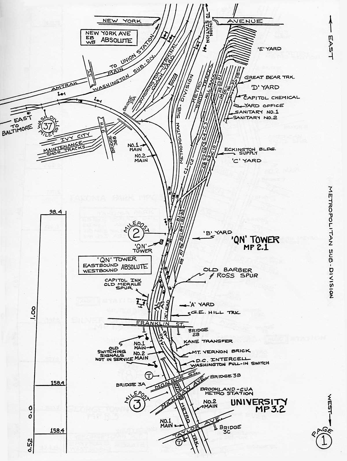
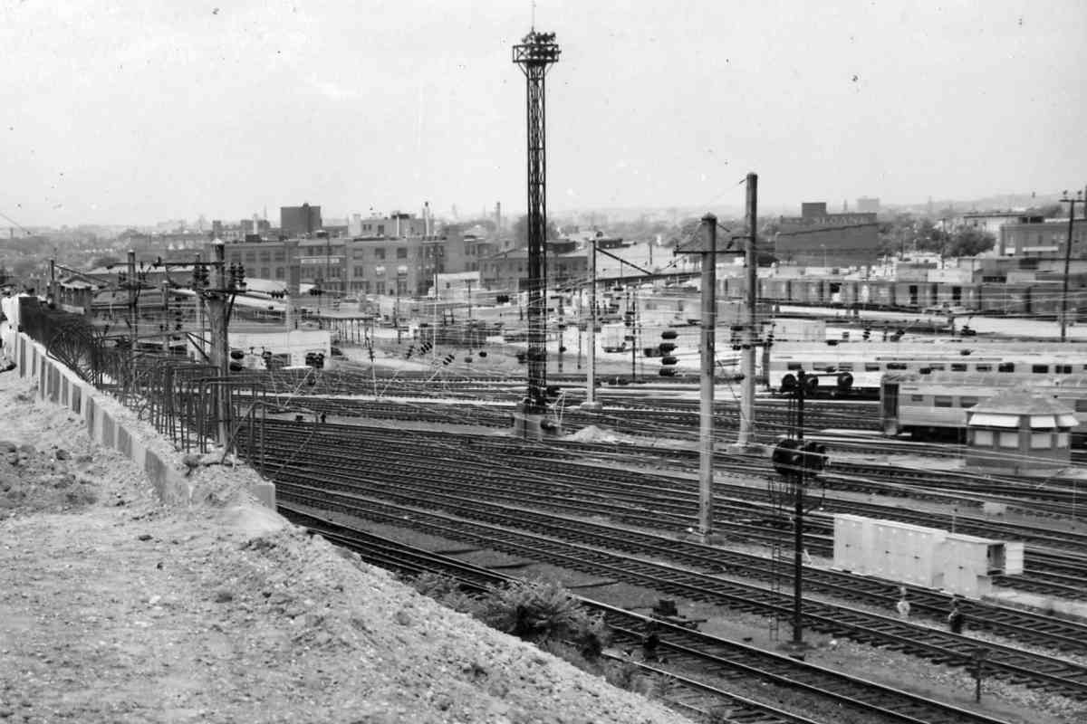
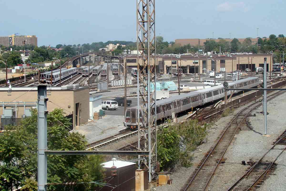
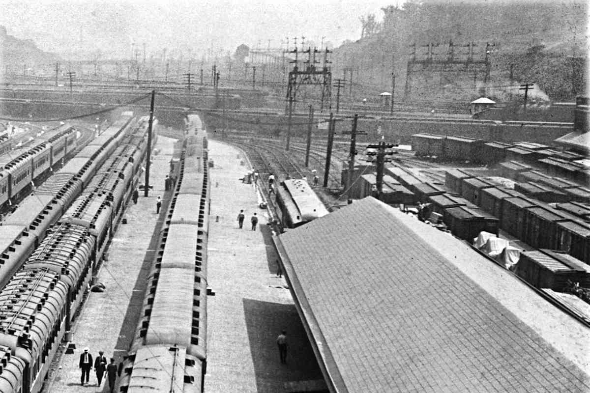
The D, C, and B yards, among others, can be found on this roadway map.
Note that north, the general direction of this tour, is oriented in the down
direction. Despite its upside-downedness for tour purposes, the map can be
handy for understanding the complex layout here.
For future reference, the key features are the "Metropolitan Sub-Division",
aka the Met, running south-north through the middle, adjacent WMATA's (DC Metro's)
"Metro Shop Tracks" that are far more numerous than depicted. Also note the
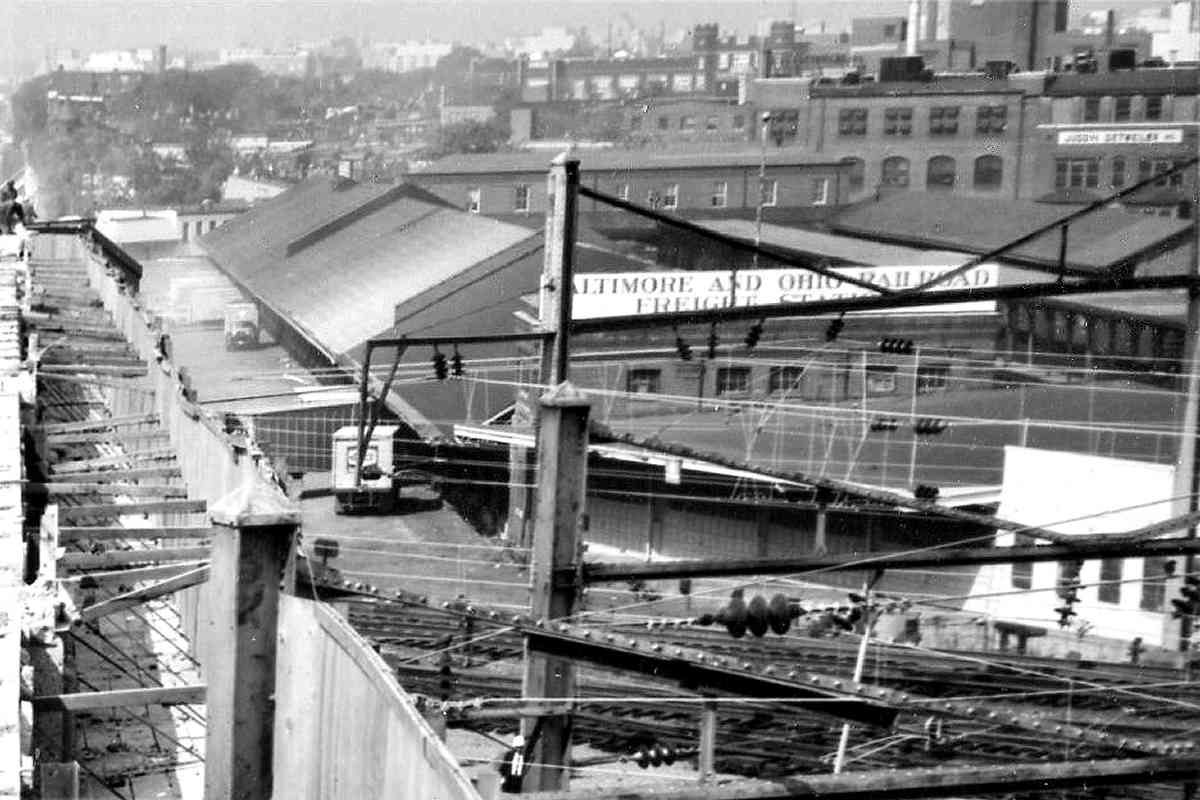
"No. 1 Main" and "No. 2 Main" curving from/to the east (left); they connect
with the ex-B&O Washington Branch, now CSX Cap Sub. All these are shown
in photos below.
Roadway Maps like this and lots more cool B&O history materials are available from
The B&O Railroad Historical Society.
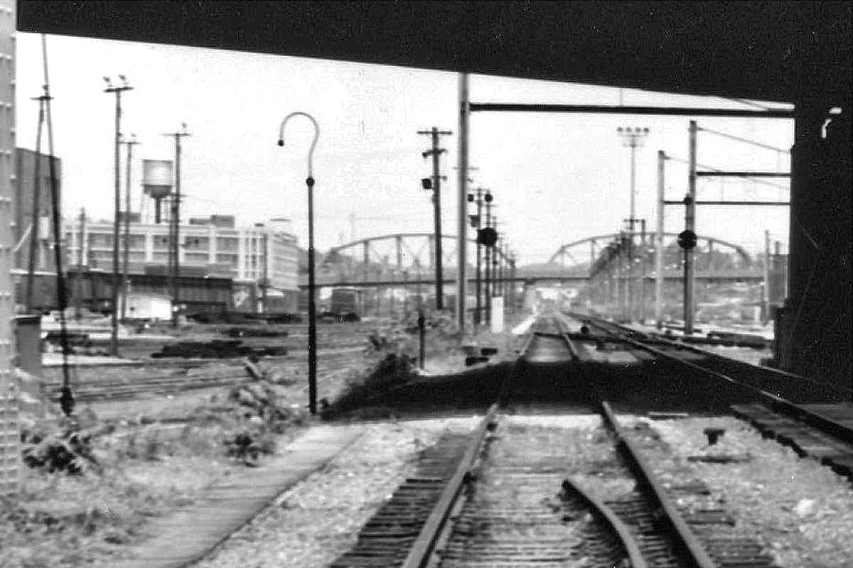
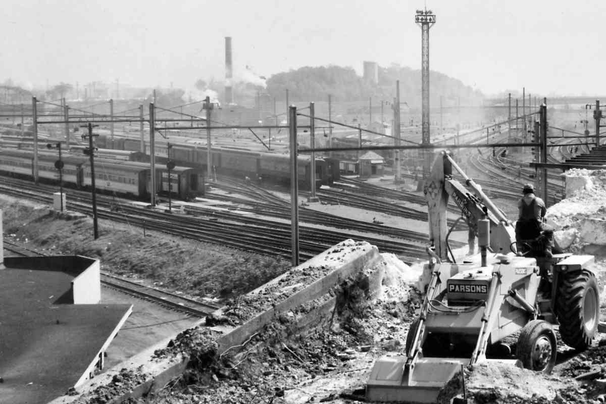
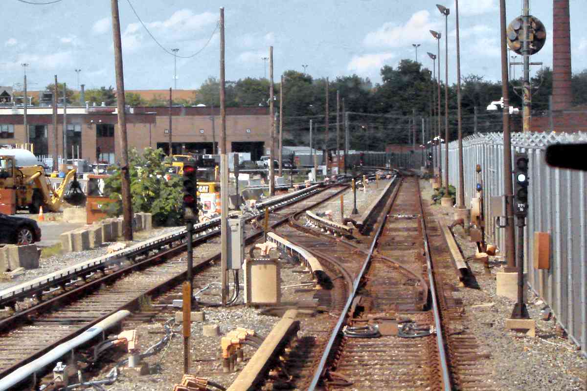
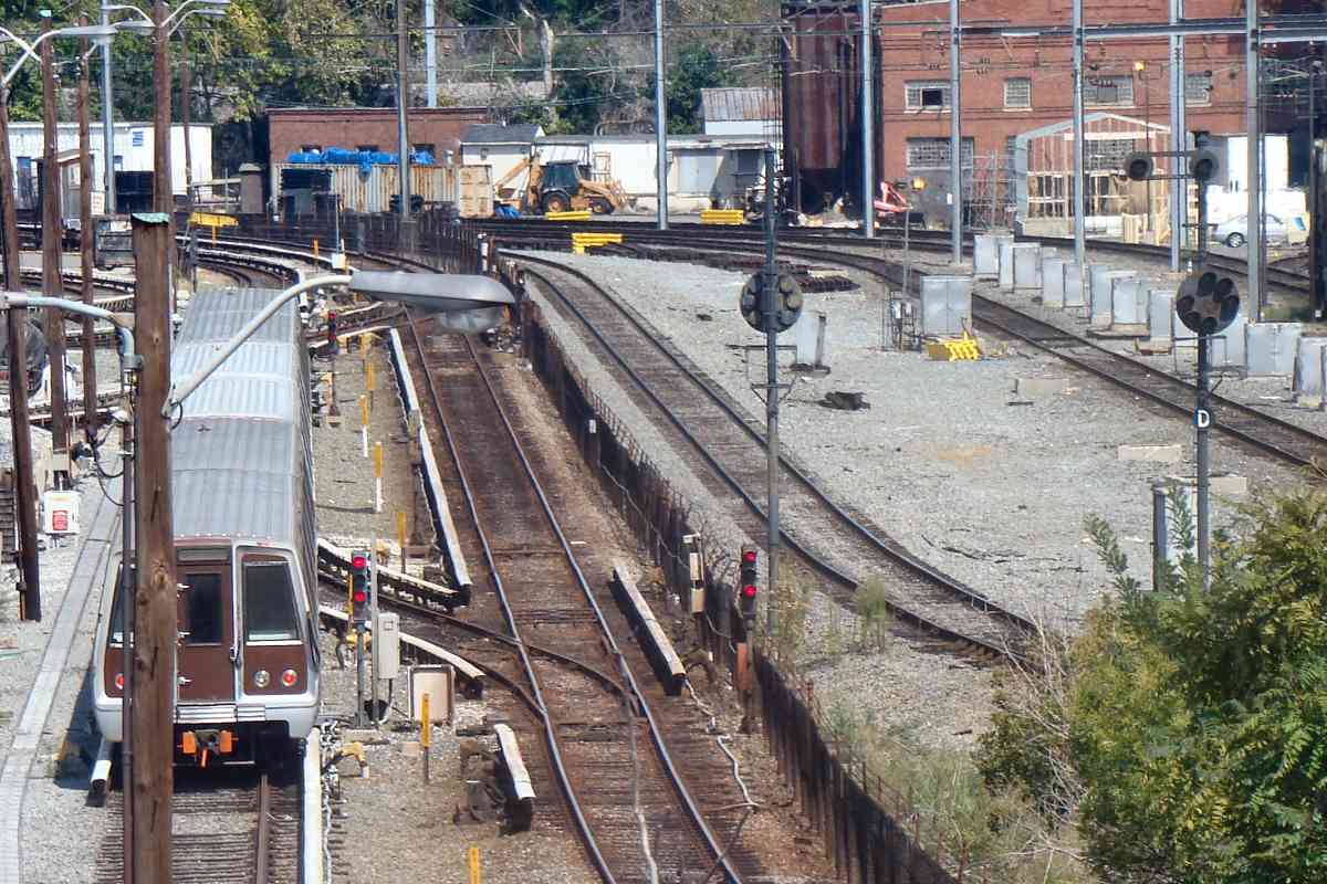
The next photo looks down the map from its top from near the word
Avenue toward the E Yard.
|