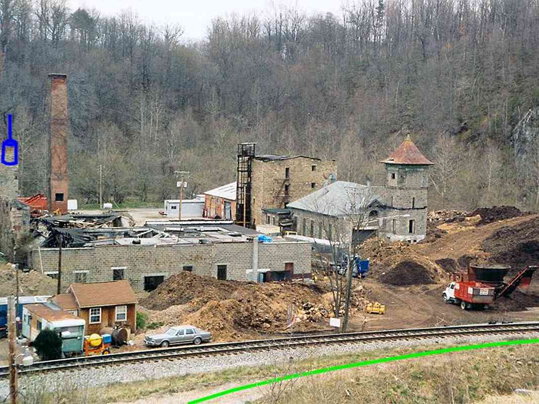
|
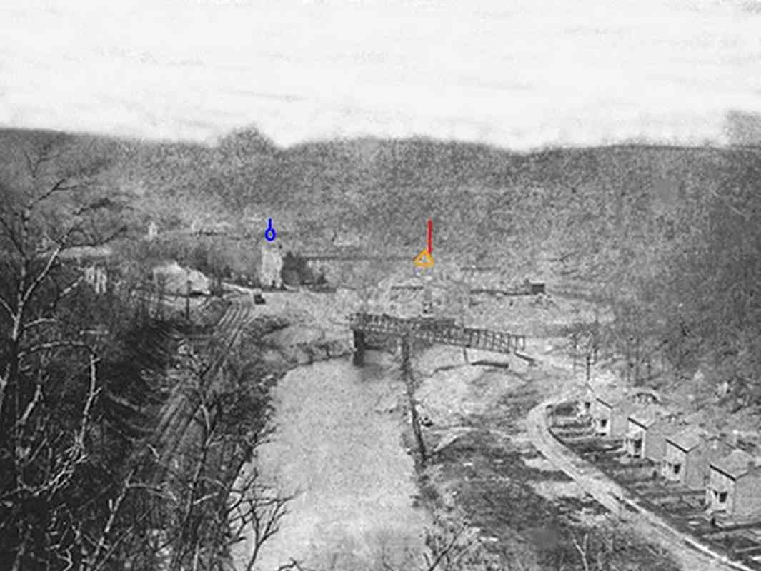
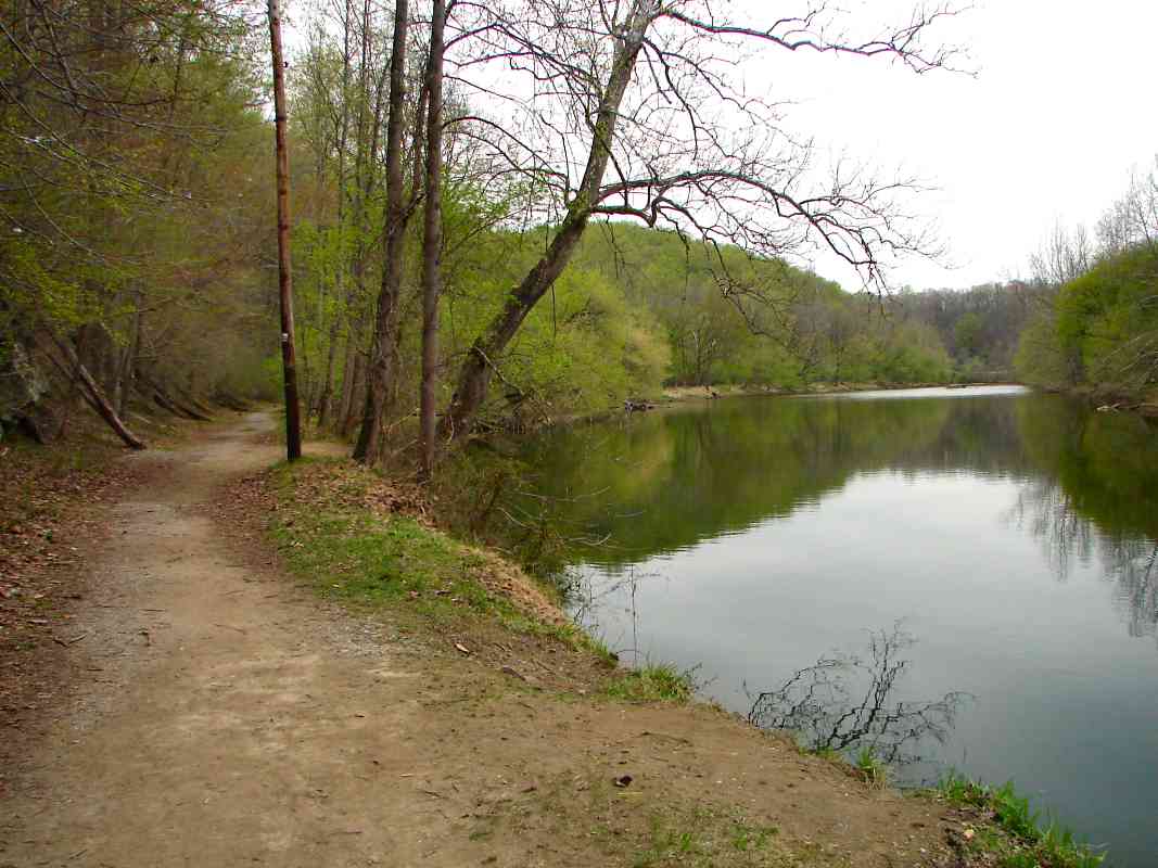
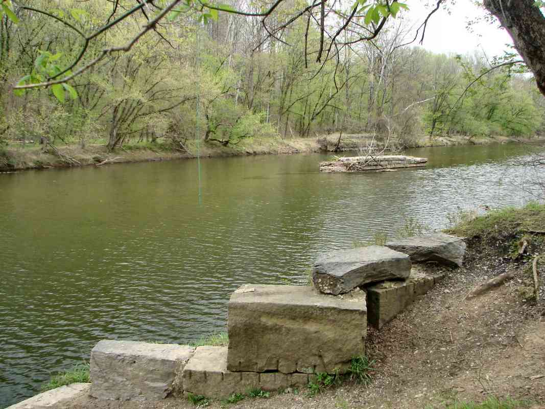
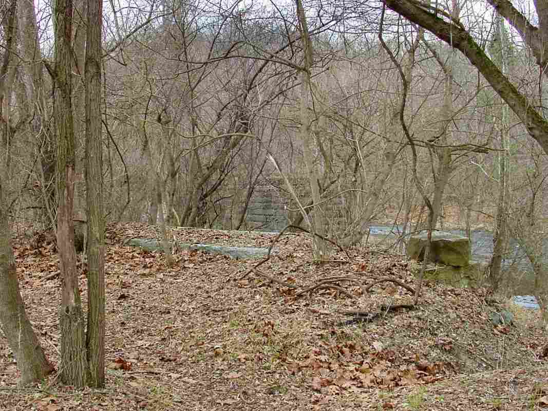
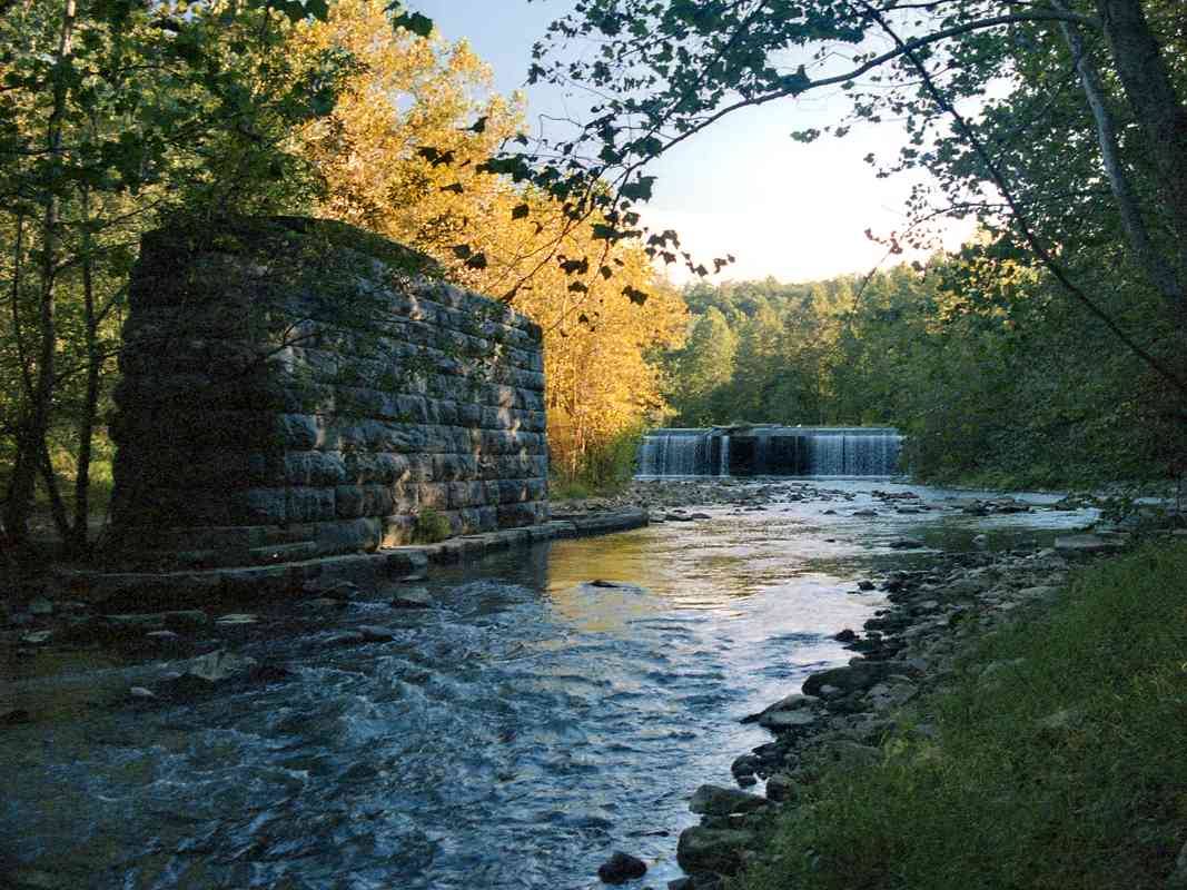
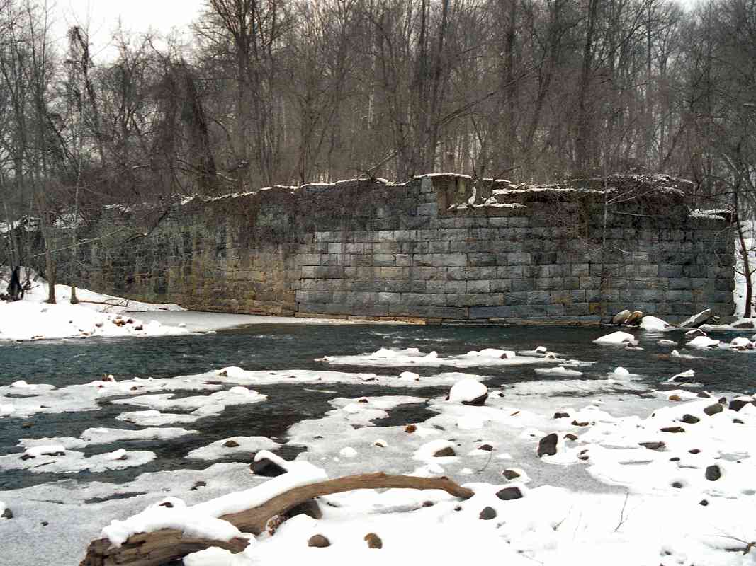
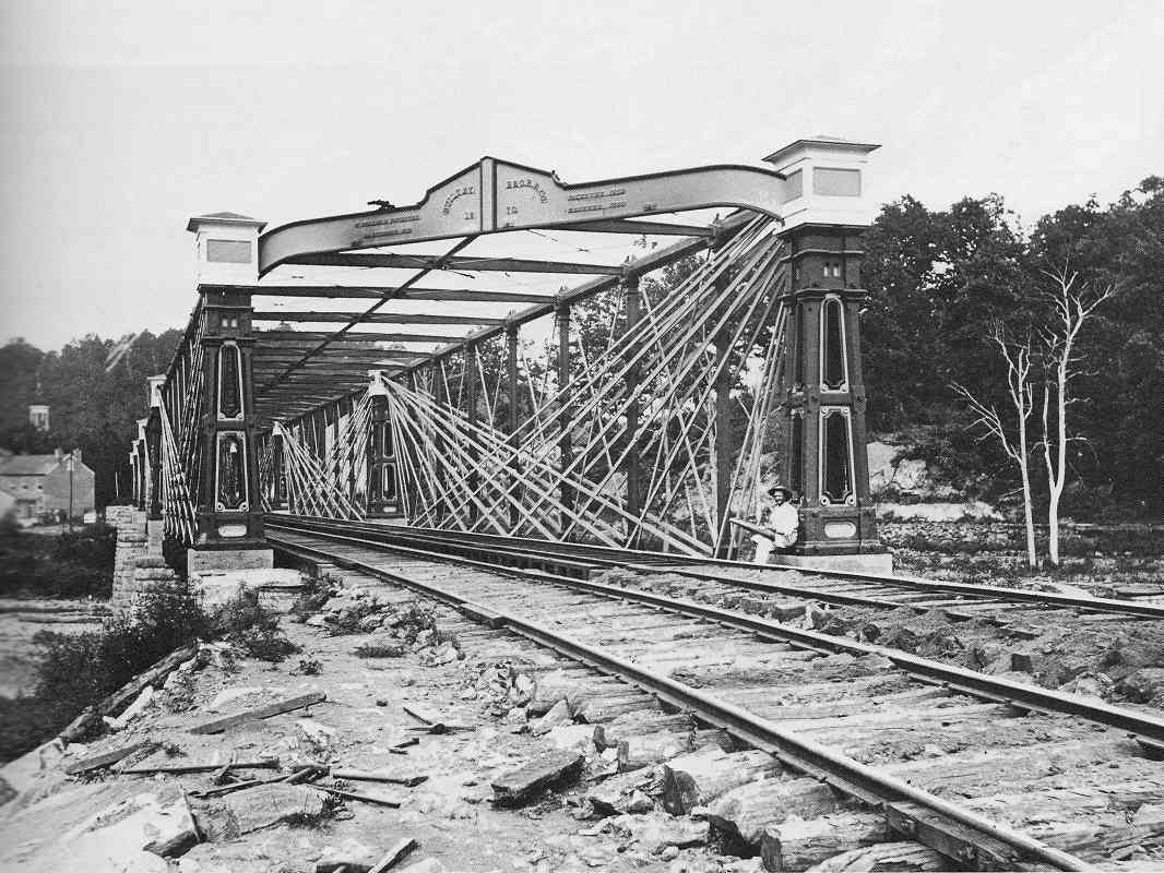
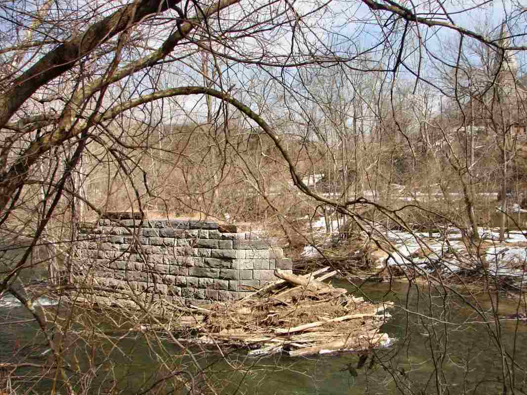
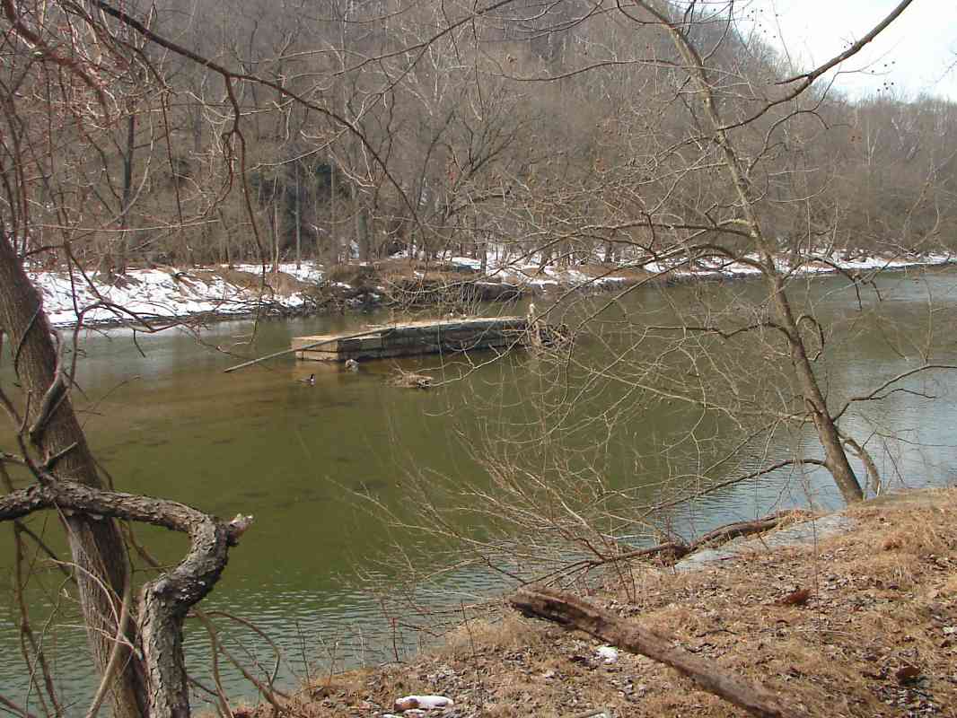
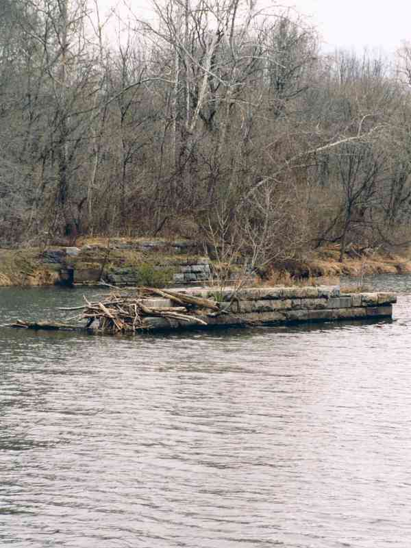
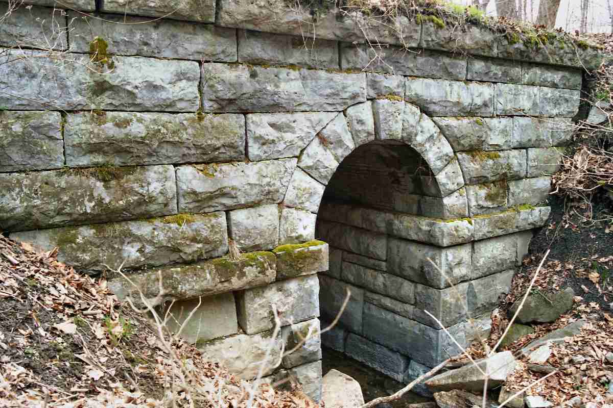
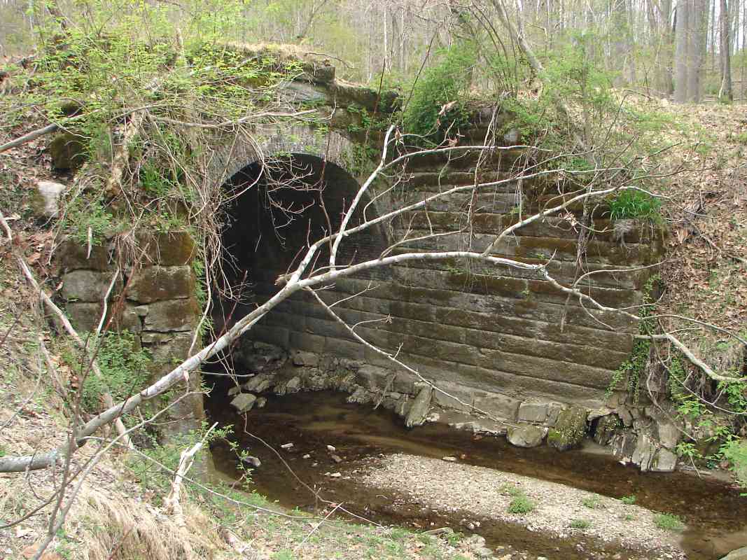
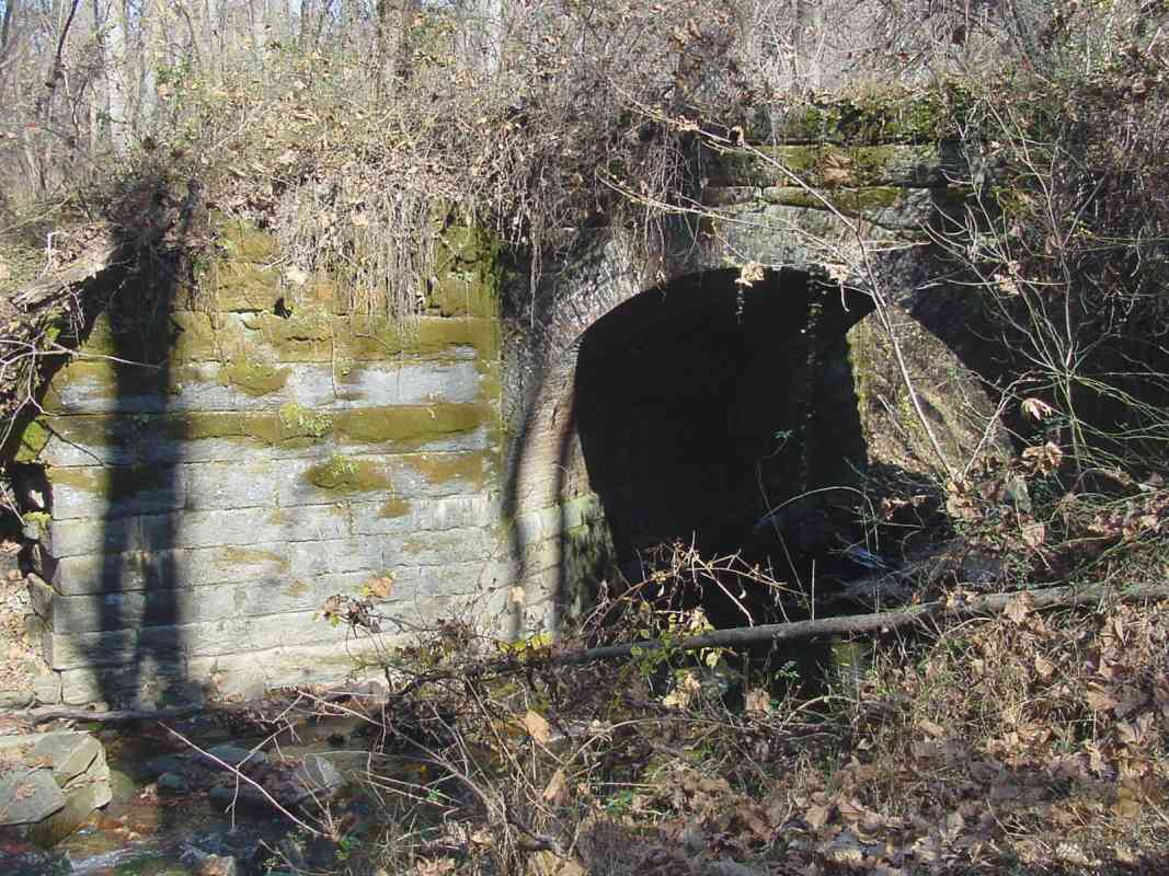
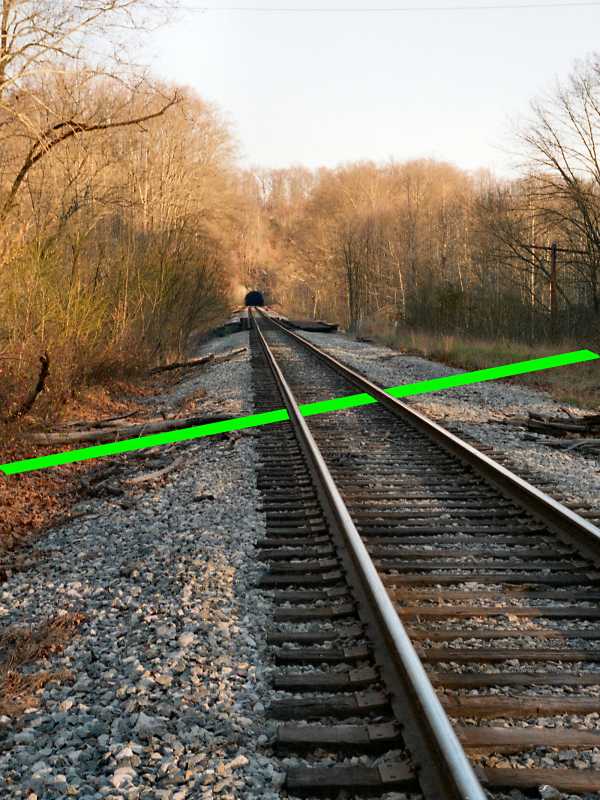
This view shows the westernmost of the five stone supports of the
Lower bridge.
Both Lower and Upper bridges were over 300 feet long and
designed by Benjamin Latrobe. He based his design on a
bridge in Switzerland that employed an odd collection of diagonal struts.
In a surprising (for B&O) cost saving move, the structure atop these
stone abutments was built of wood, and was covered.
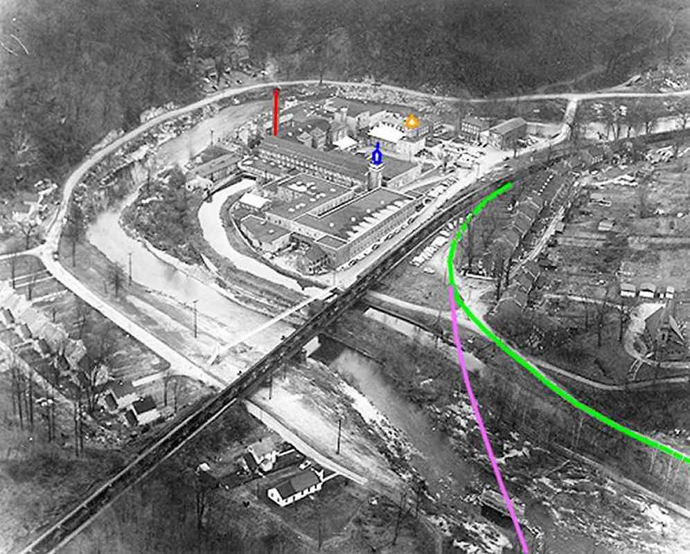
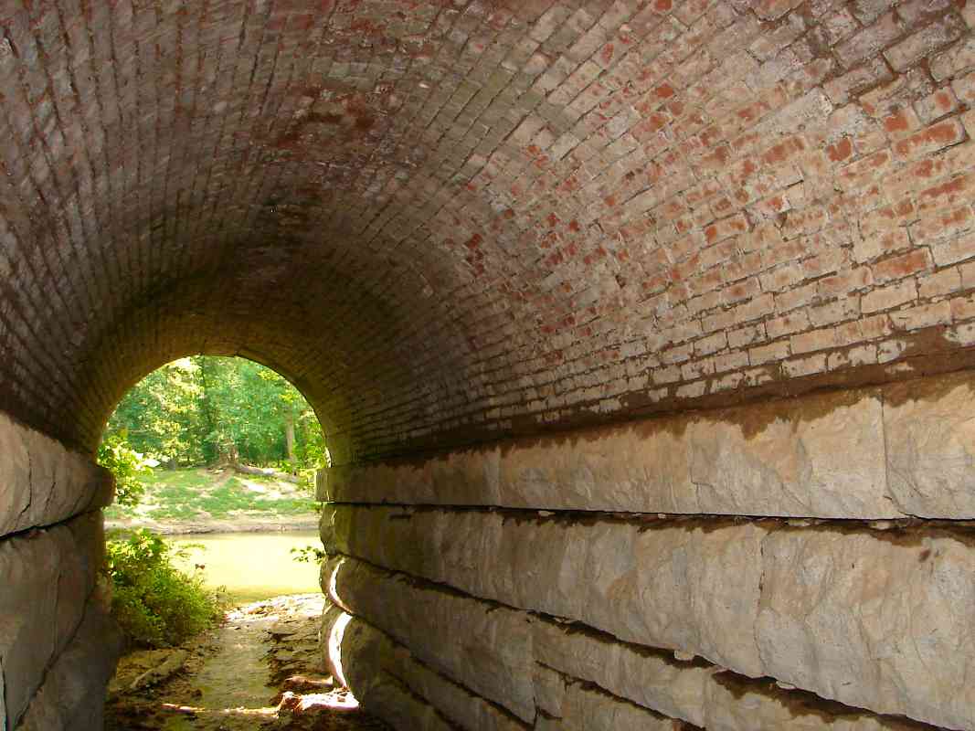
Unfortunately, the wood proved unacceptable, and in the 1850s
was replaced by Bollman truss bridges made of iron. They were
the second bridges on this, the second alignment.
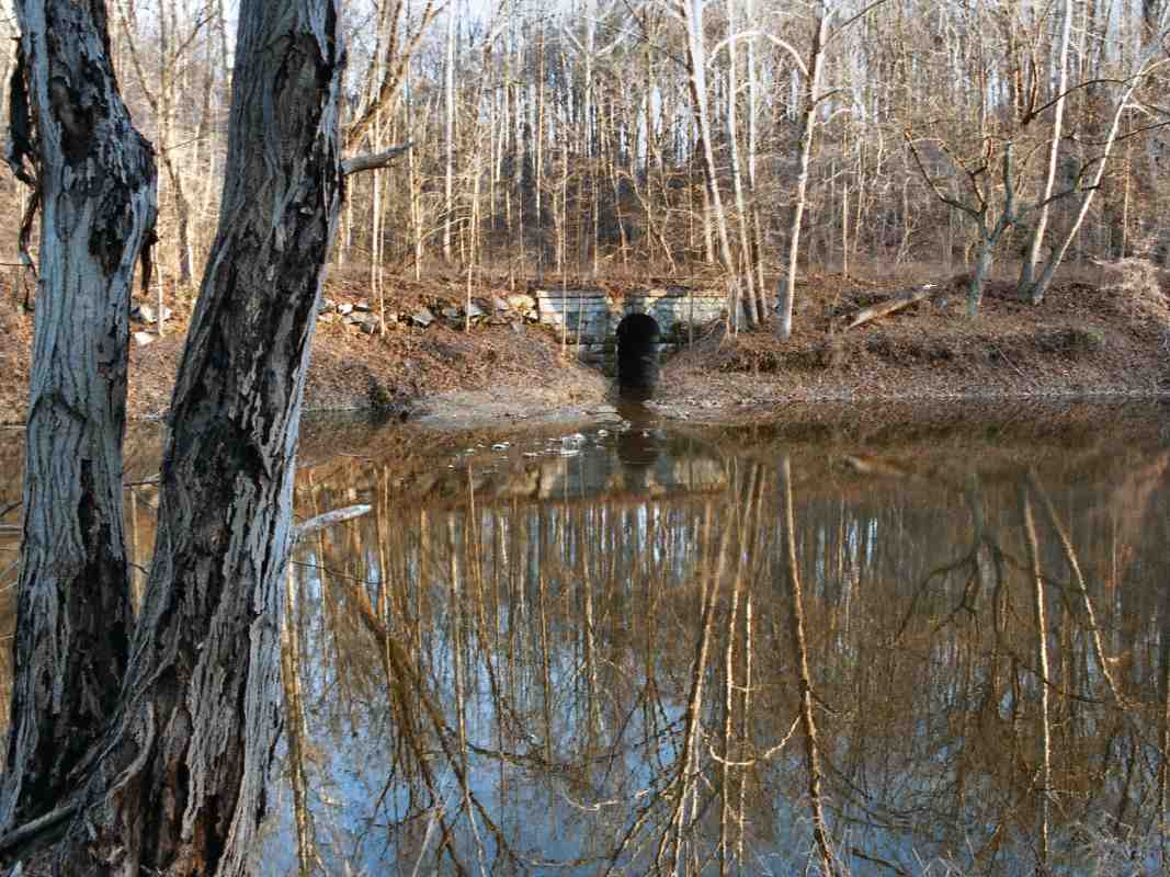
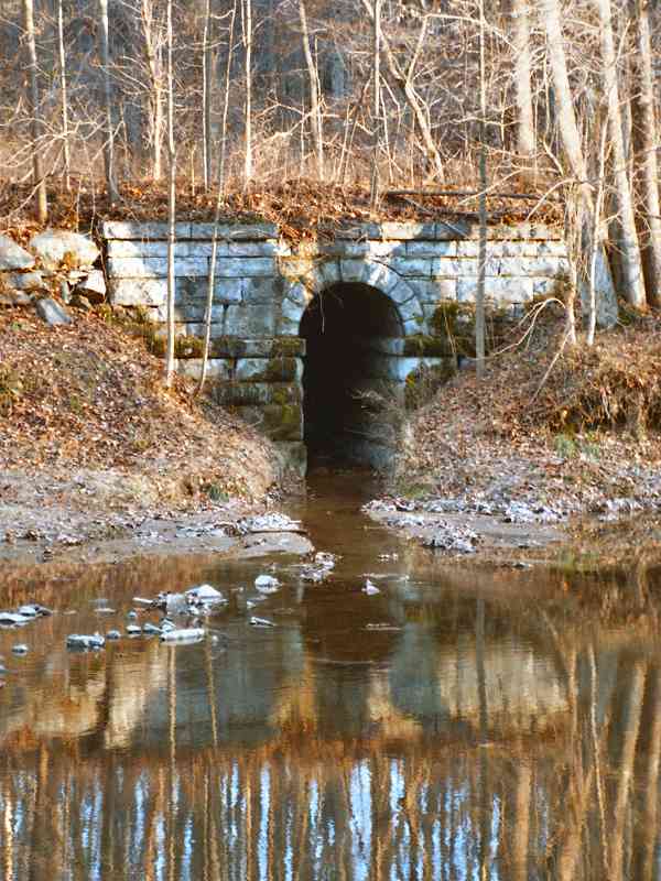
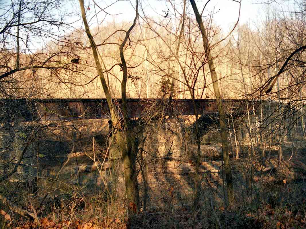
These Bollman truss iron bridges, of which B&O eventually built
about 100, contained many diagonal struts. It is possible that Wendell
Bollman's classic design was inspired by the original
wooden bridges that were here at Elysville.
|