


Click a photo to see a larger view. Please send your comments and corrections to Steve.
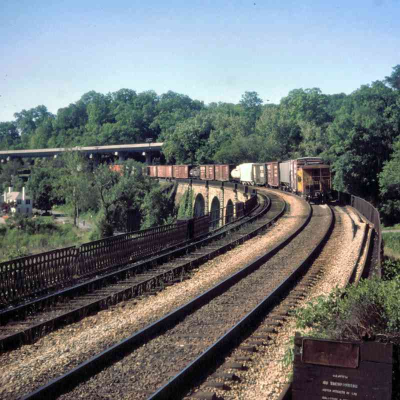
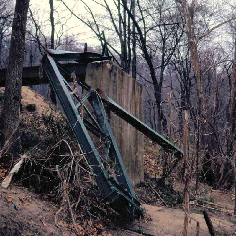
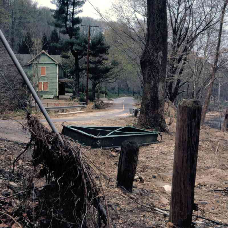
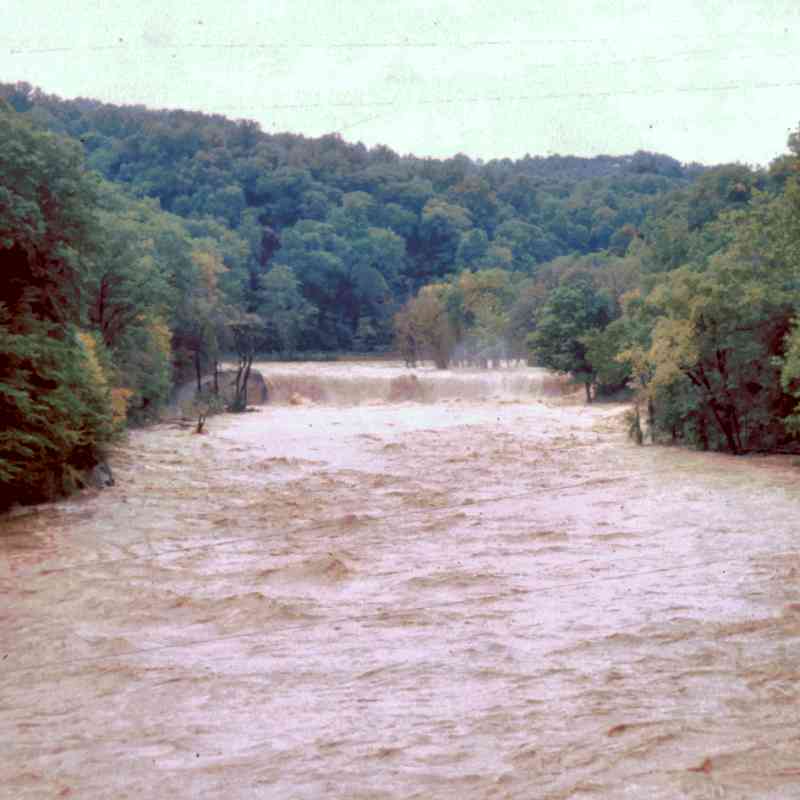
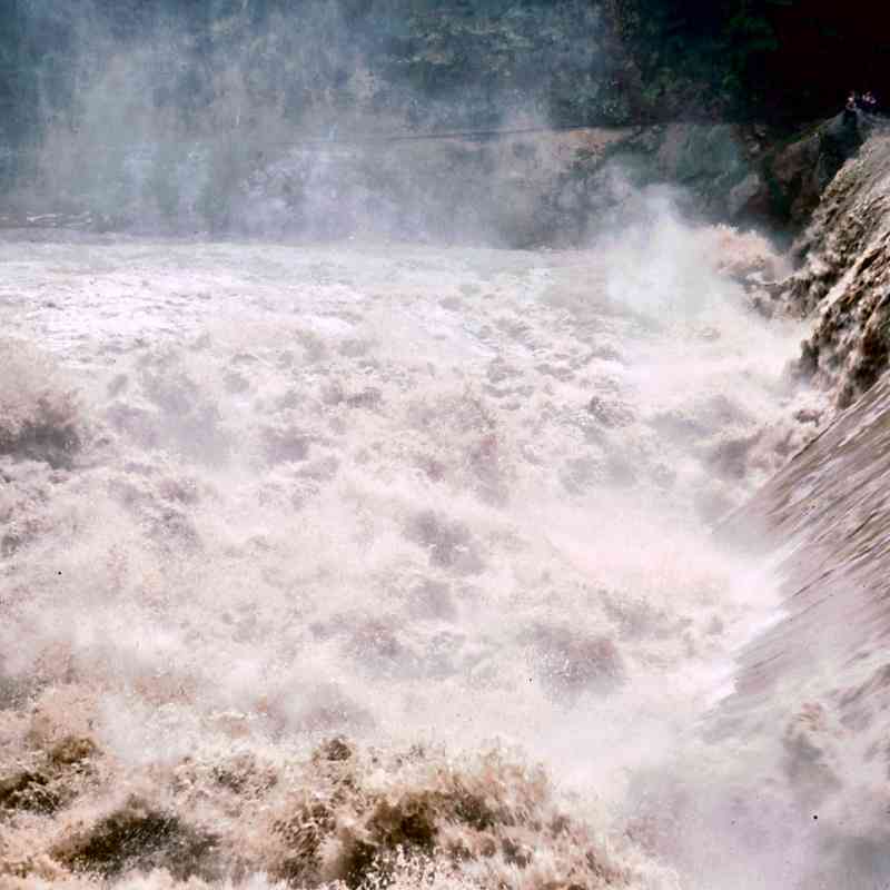
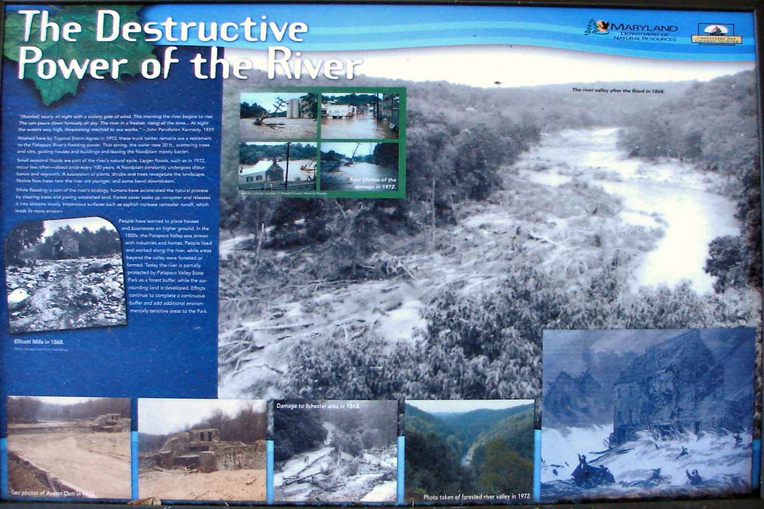 The B&O (now CSX) Old Main Line runs parallel to the Patapsco River in the Avalon area
of the state park accessible from US 1 in Elkridge, Maryland. The river valley (and
the railroad) have been subjected to repeated floods, most notably in 1868, then again
from remnants of Hurricane Agnes during June 1972. In 1975, Hurricane Eloise brought
another round of flooding, albeit less severe.
The B&O (now CSX) Old Main Line runs parallel to the Patapsco River in the Avalon area
of the state park accessible from US 1 in Elkridge, Maryland. The river valley (and
the railroad) have been subjected to repeated floods, most notably in 1868, then again
from remnants of Hurricane Agnes during June 1972. In 1975, Hurricane Eloise brought
another round of flooding, albeit less severe.
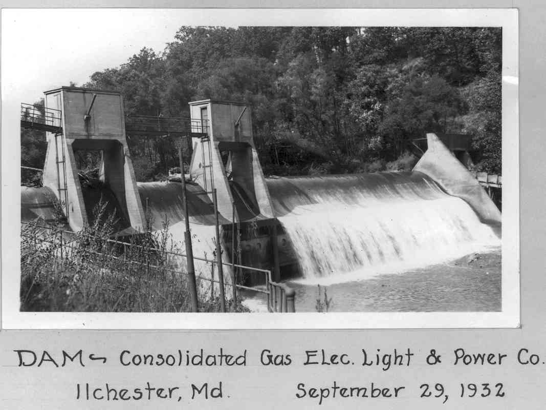
Image Credits: Except as noted below, the 1966 to 1981 photos below courtesy Dave Hiteshew depict various well-known areas of the park pre-flood, post-flood, and during repairs. Swinging bridge from 1900 courtesy Pratt Library. Map (1915) and aerial photos (winter 1926/1927) are courtesy Johns Hopkins University. Bloede Dam 1932 photo credit Office of Advisory Engineers on Water Supply, 1933 (unpublished), Water and Water Power Rights - Patapsco Project: Baltimore, Md., Baltimore City Department of Public Works, Public Improvement Commission, 375 pp. (digitized by the Maryland Geological Survey).
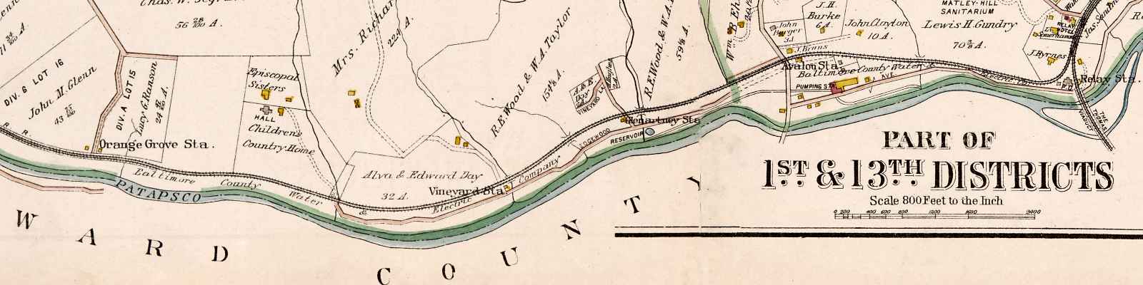
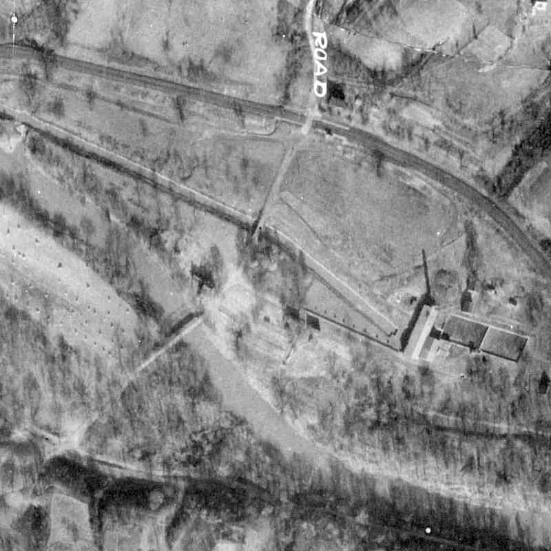
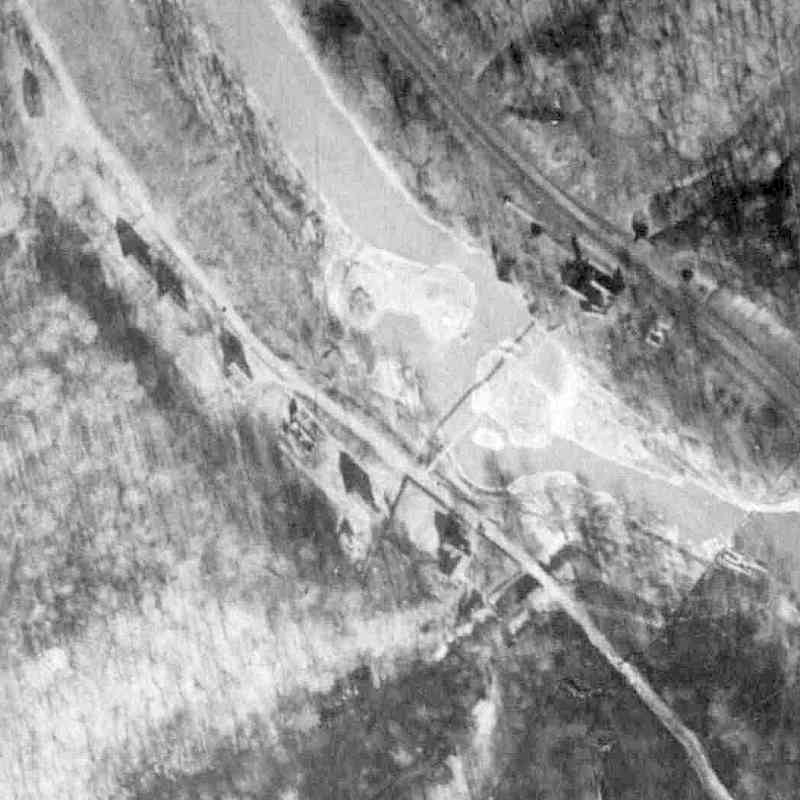
Map - Thomas Viaduct (right) Upstream to Orange Grove (left)
1915:
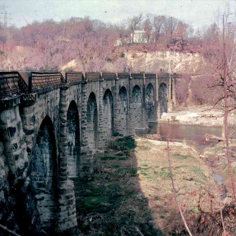
Thomas Viaduct
1927:
 1973:
1973:
 1976:
1976:
 1977:
1977:
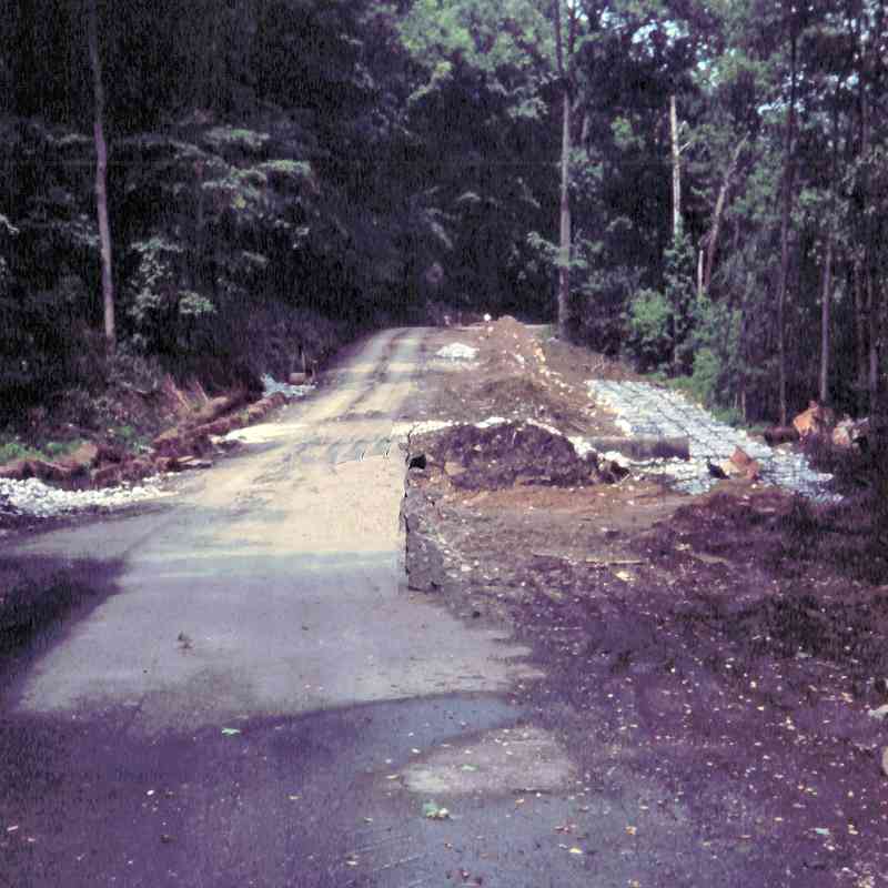
River Road
1966:
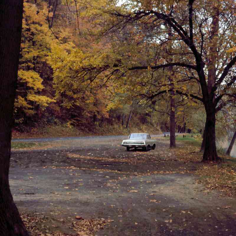 1973:
1973:
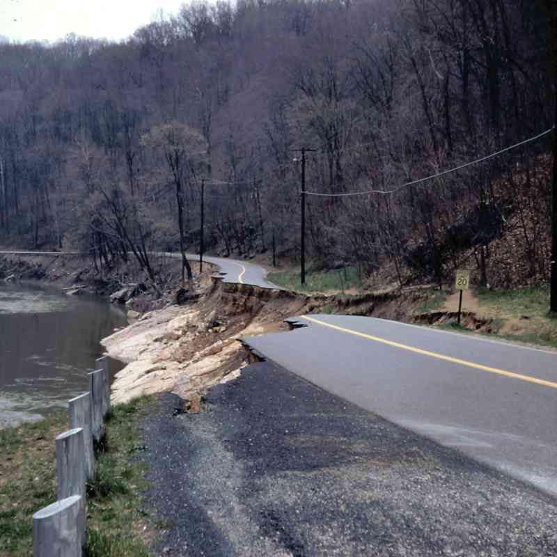
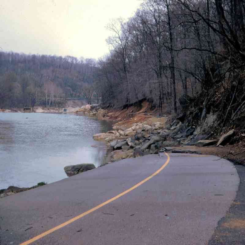
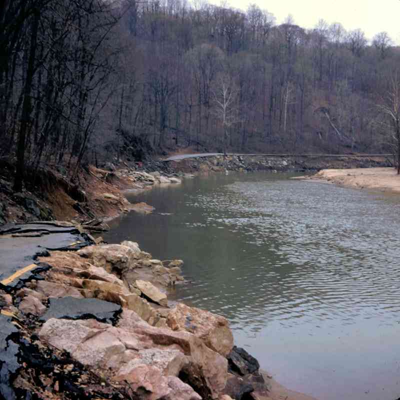
1978:
 1979:
1979:
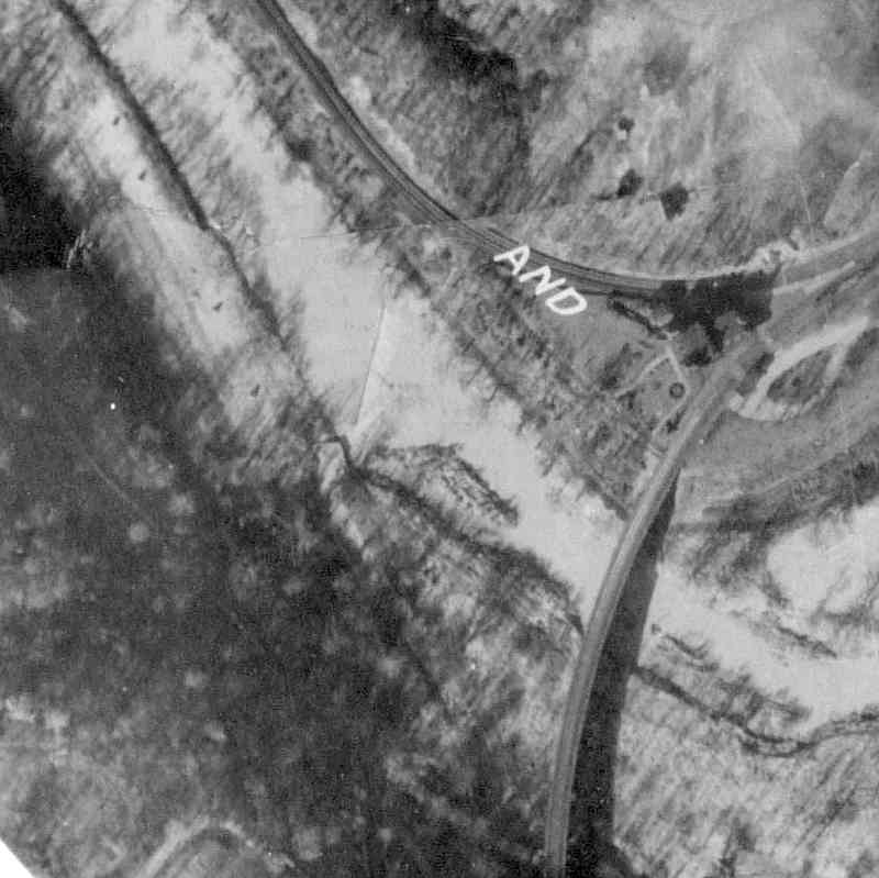
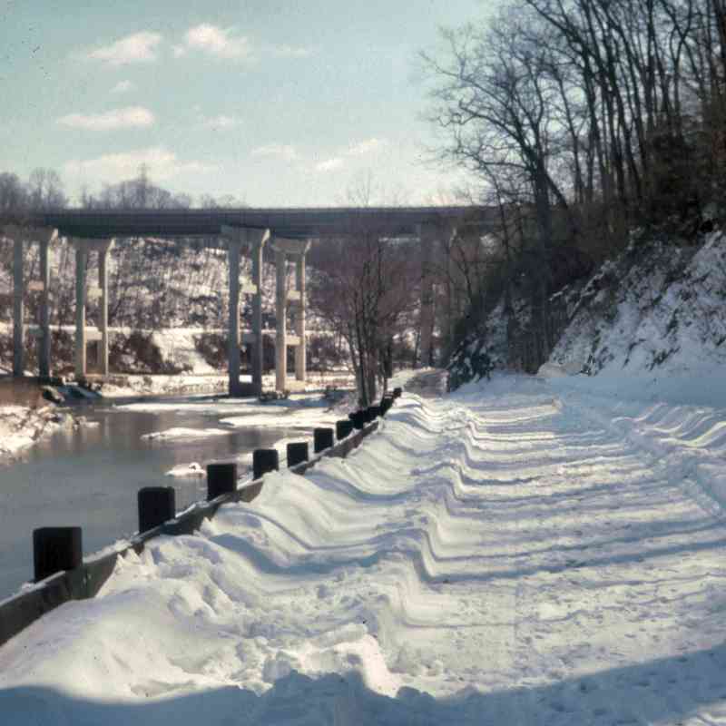
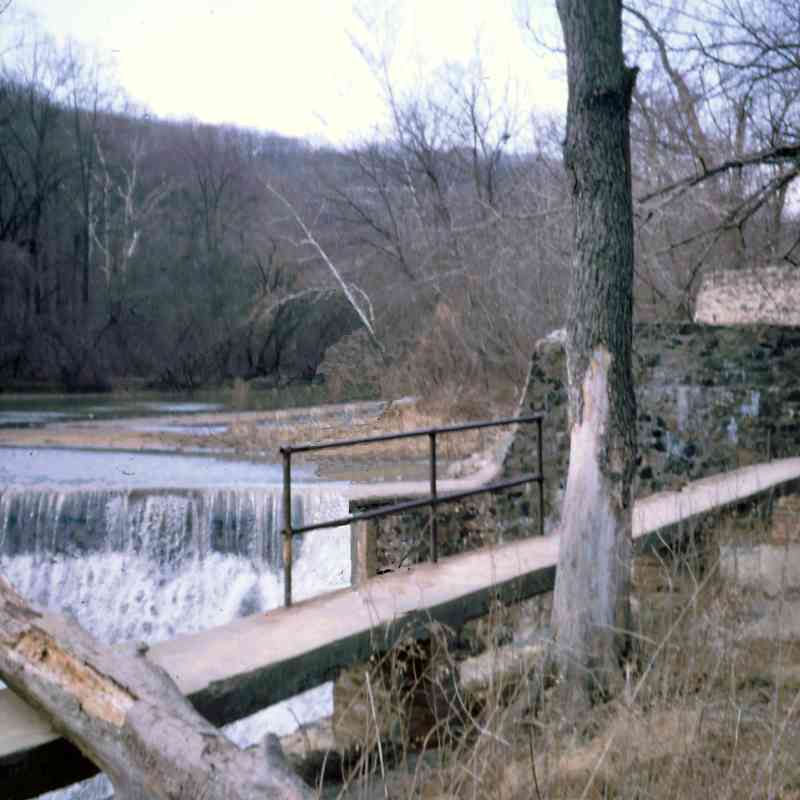
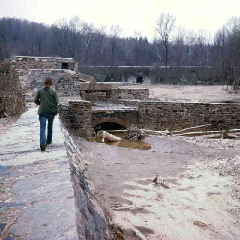
Gun Road
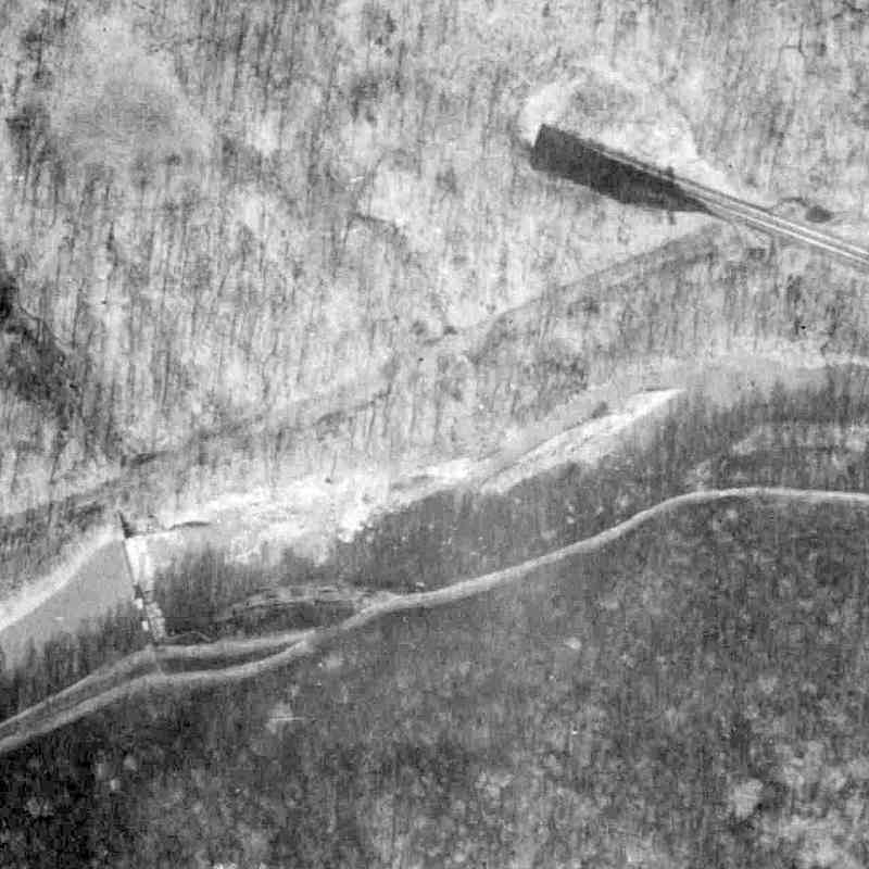
1927:
 1966:
1966:
 1973:
1973:
1975:
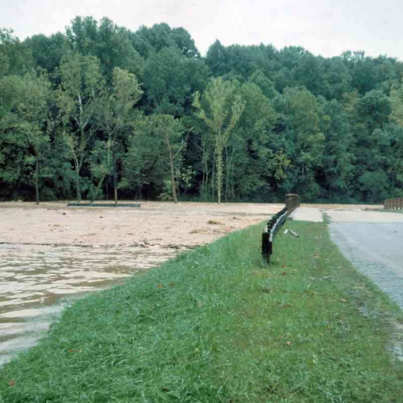 1976:
1976:
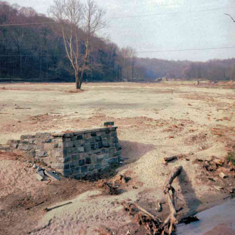
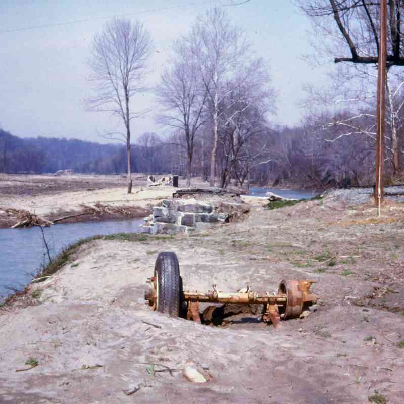
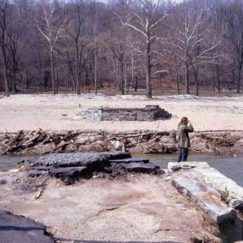
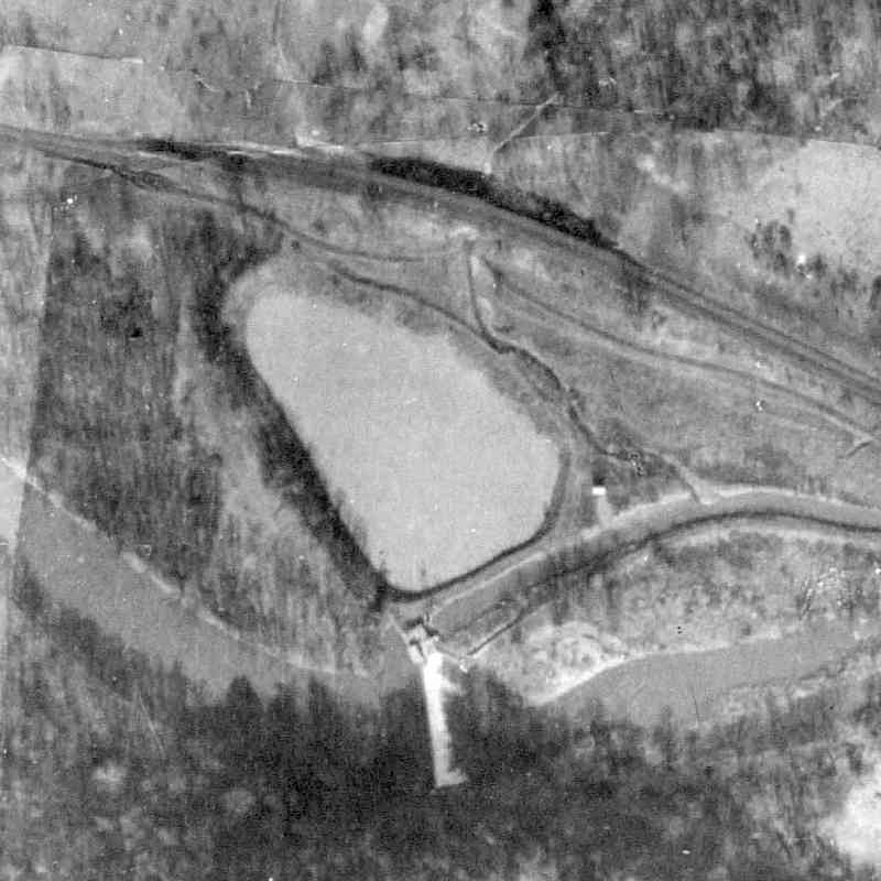
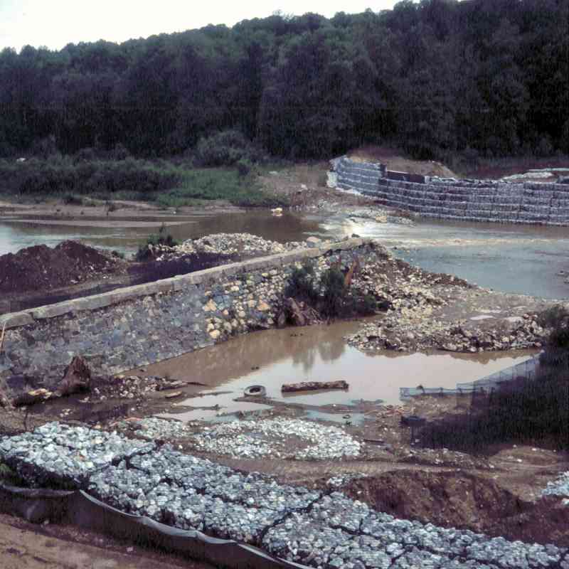
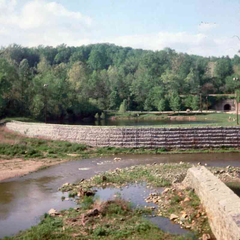
Avalon Dam and Lost Lake ("Reservoir" on 1915 map)
1927:
 1966:
1966:
1973:
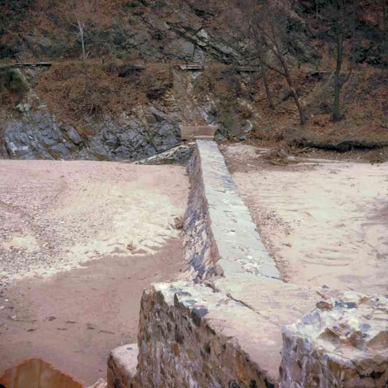
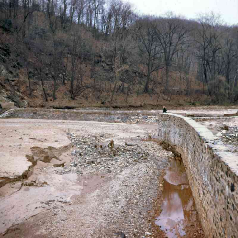
1975:
 1977:
1977:
 1979:
1979:
 1981:
1981:
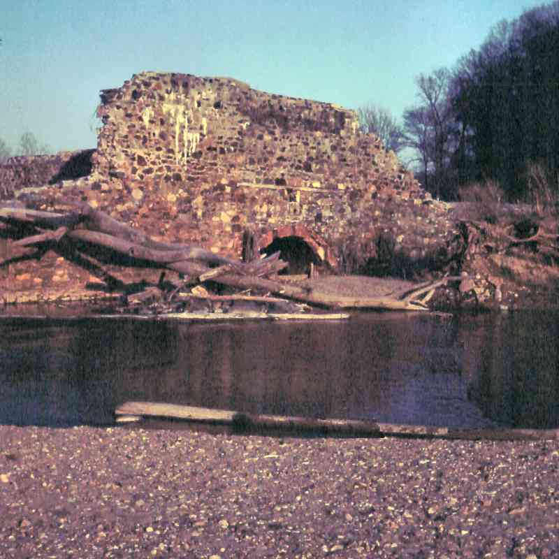
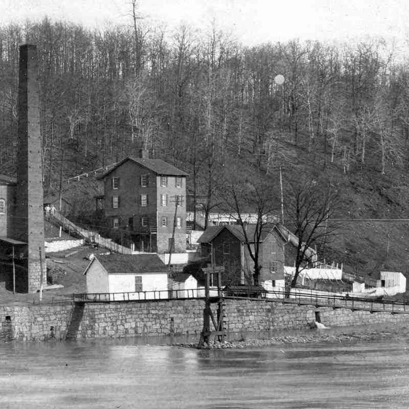
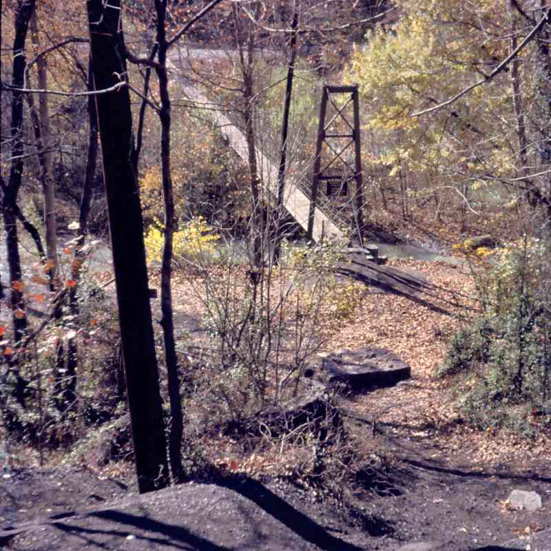
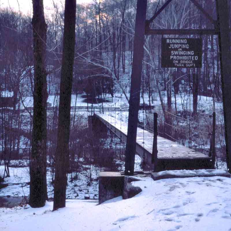
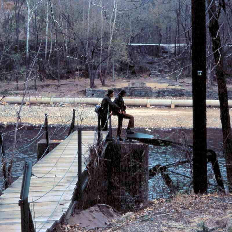
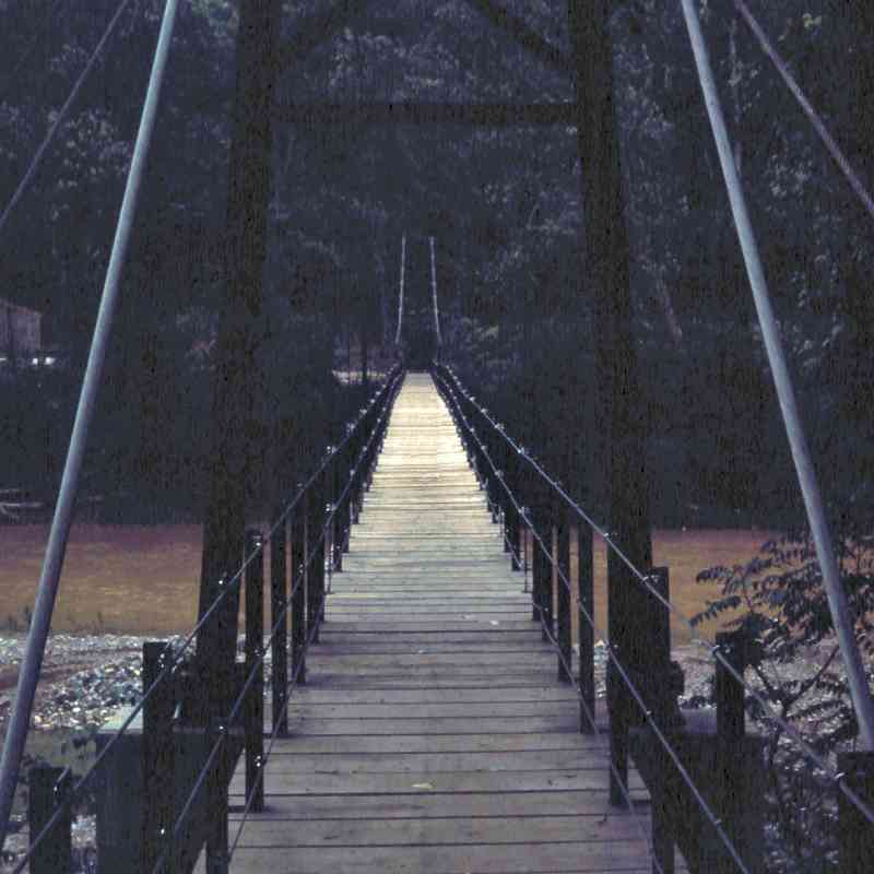
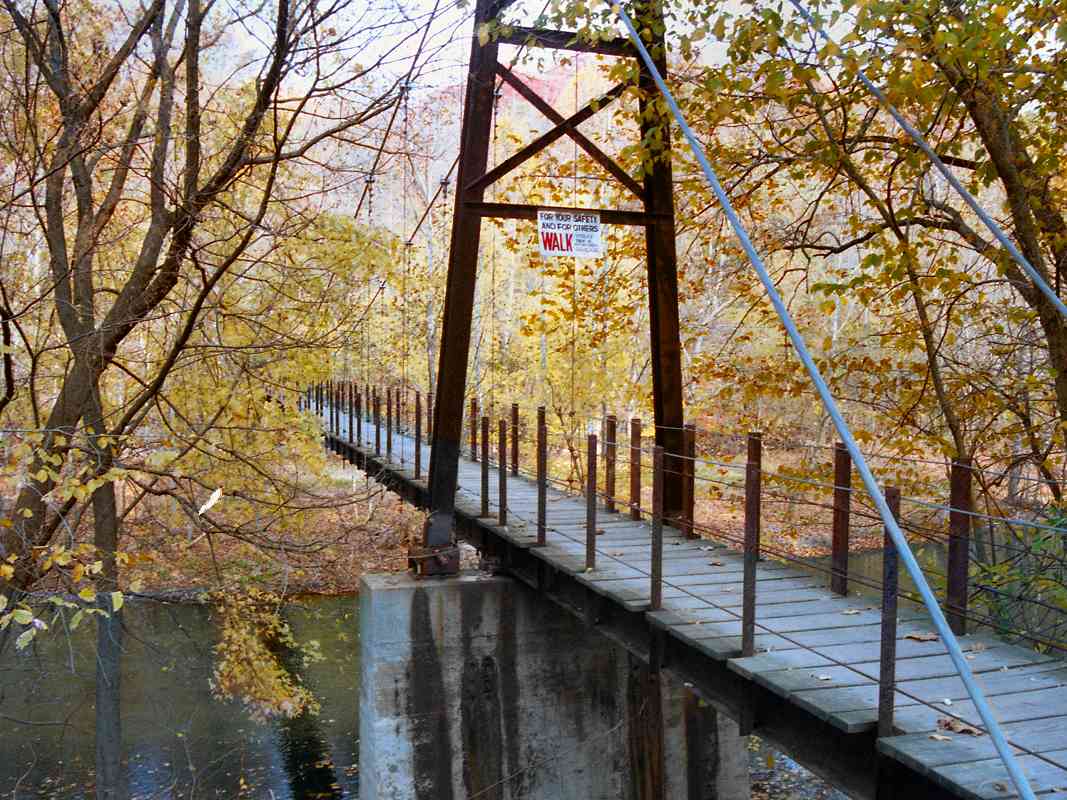
Swinging Bridge at Orange Grove
1900:
 1927:
1927:
 1966:
1966:
1973:
1978:

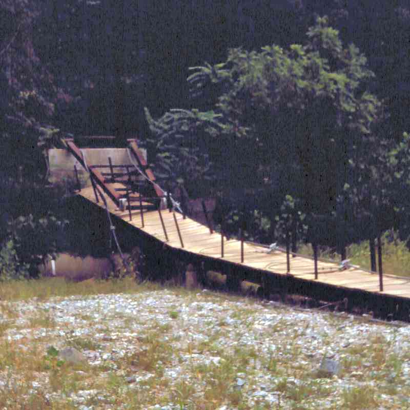 1979:
1979:
 1999:
1999:
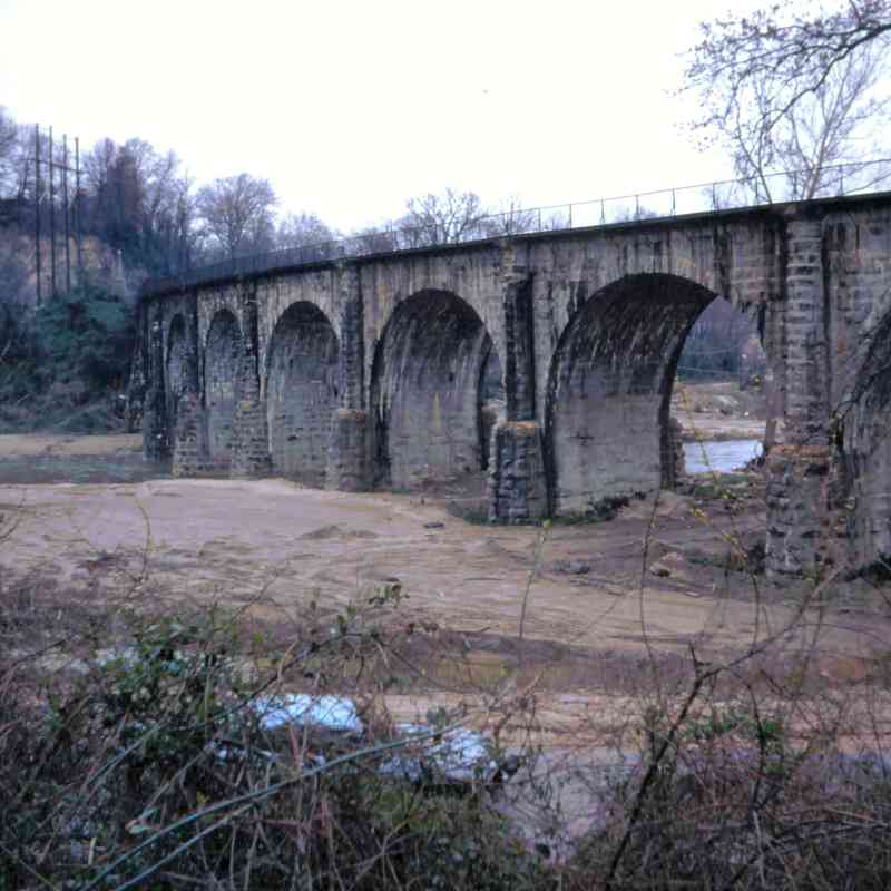
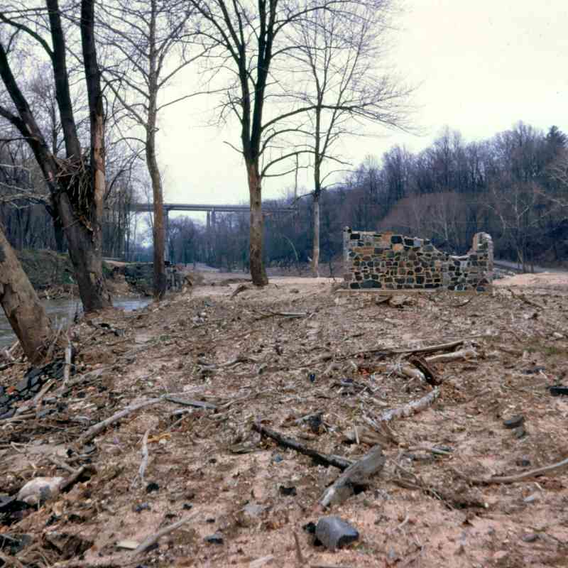
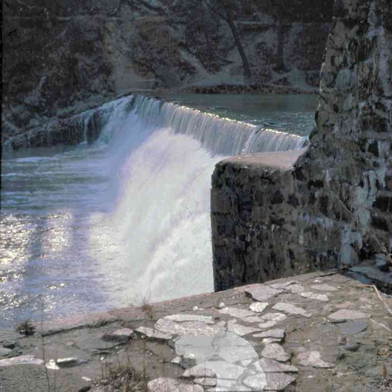
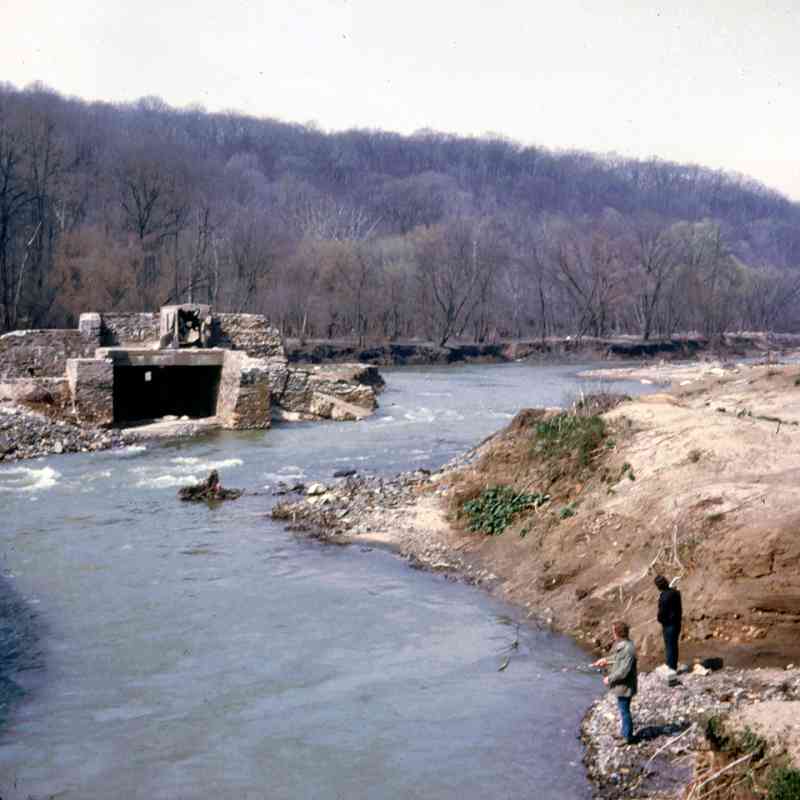
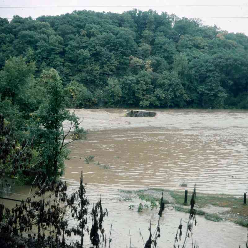
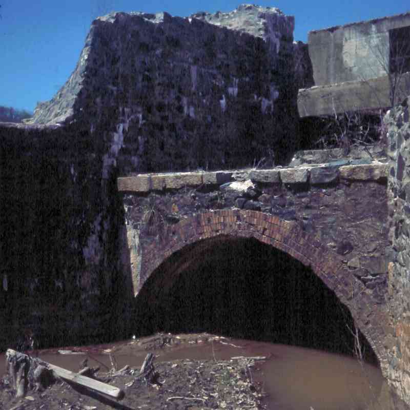
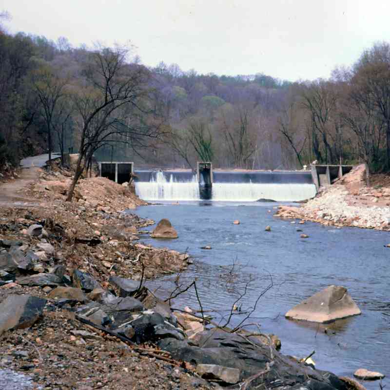
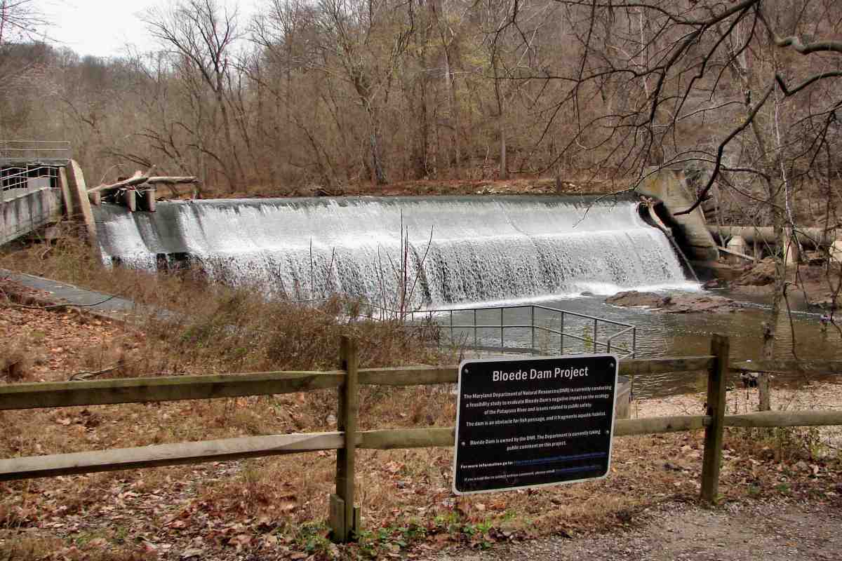
Bloede Dam
1927:
 1932:
1932:
 1973:
1973:
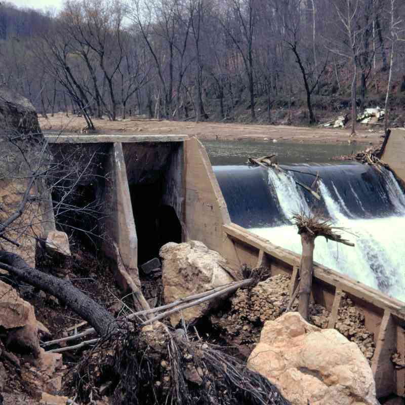
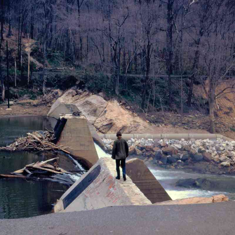
1975:
 2015:
2015:
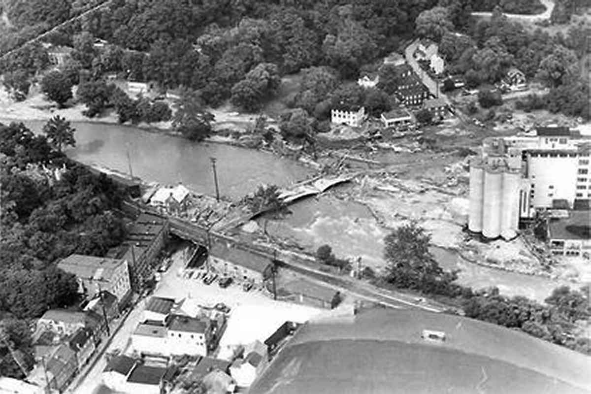
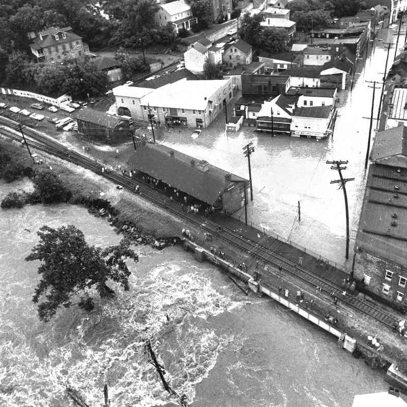
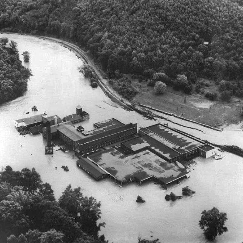
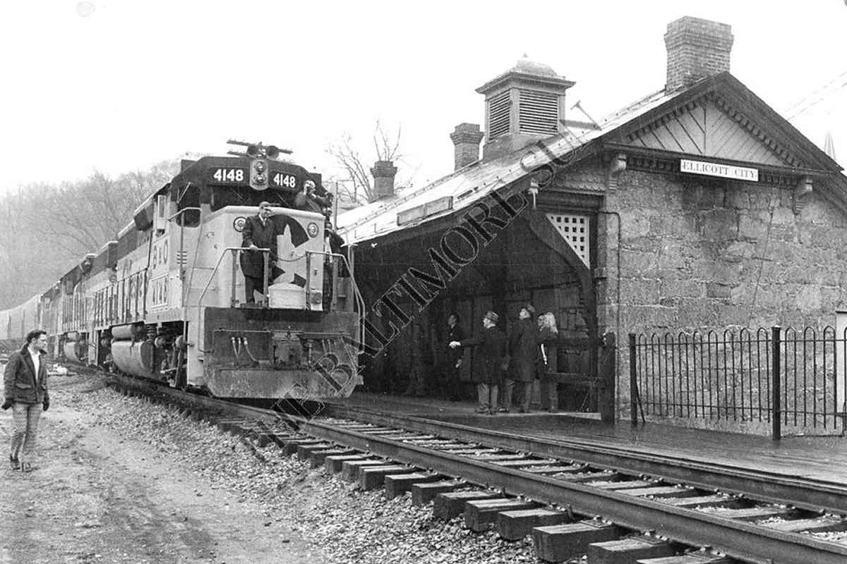
Photos (5) Courtesy Baltimore Sun
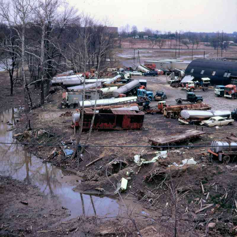
1972:
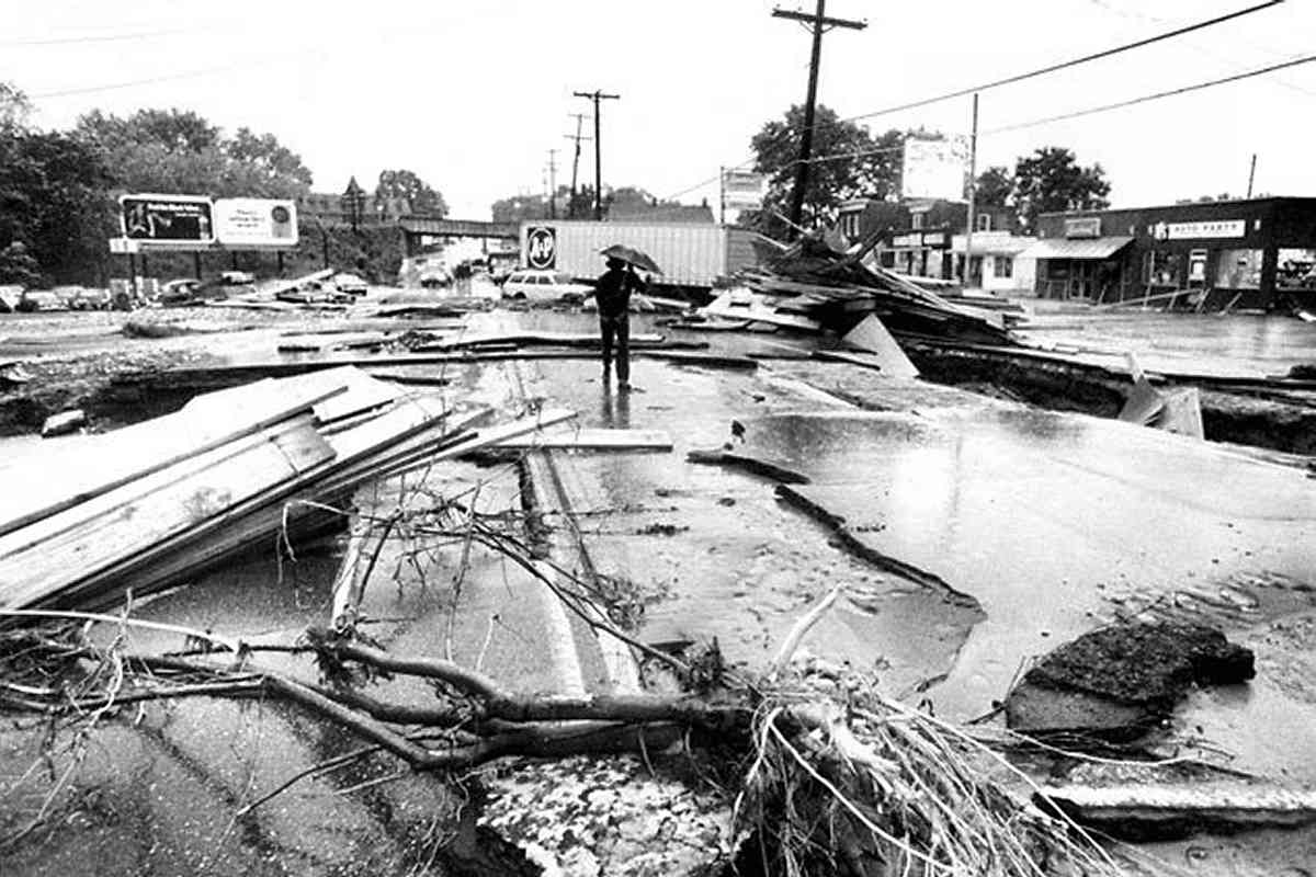 1974:
1974:
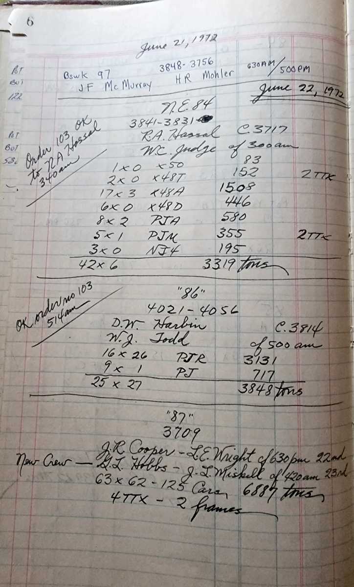
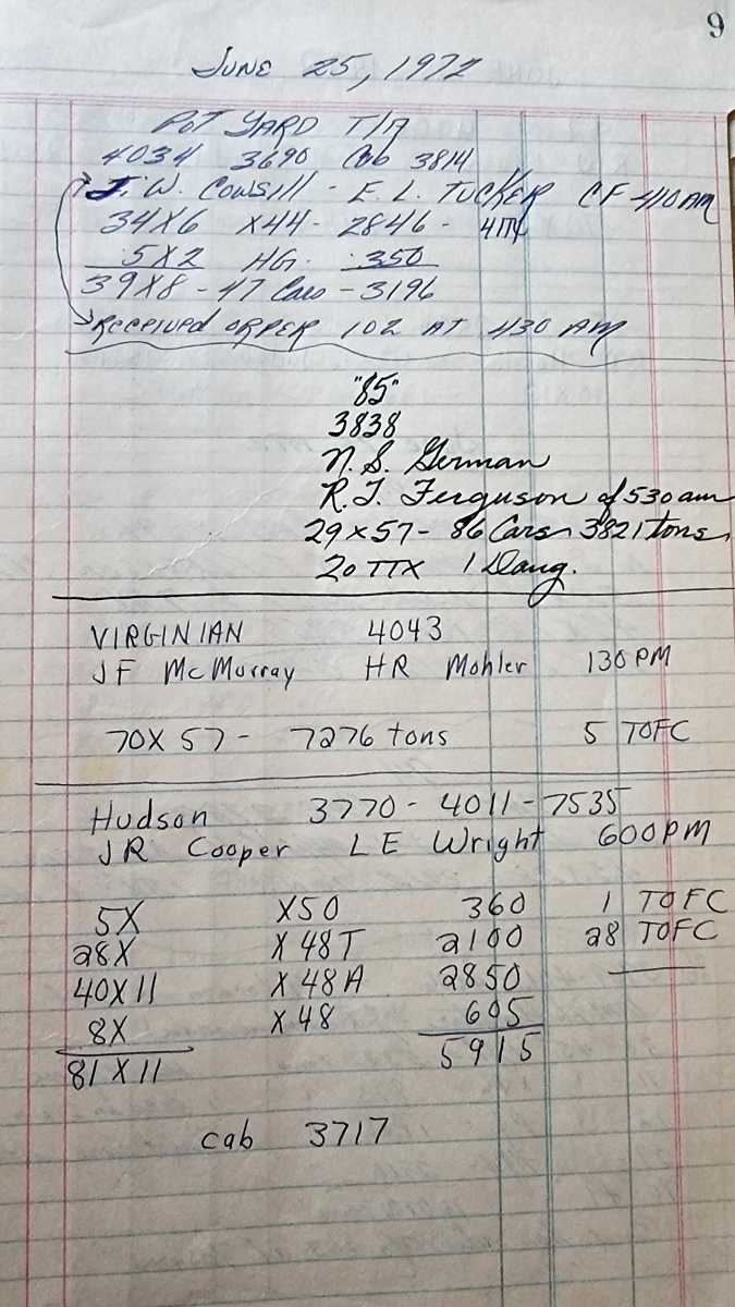
June 1972 JD Tower (Hyattsville) Log Book, Courtesy B&O History Collection
Note no trains recorded between 5:14 AM of June 22 and 3:00 PM of June 23, 1972


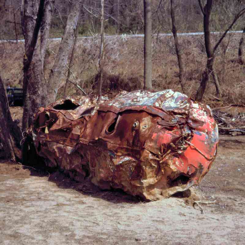
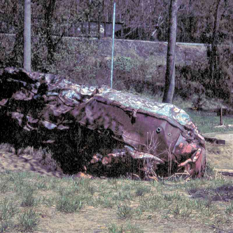
Miscellaneous
1973:
 1977:
1977:
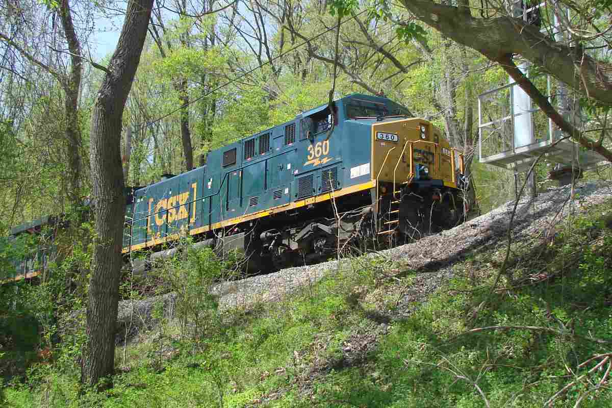
 2018:
2018:
One little-known positive consequence of the storm is a series of railroad history books. During 1972, HH Harwood (B&O historian) and Charles Roberts (publisher) happened to meet at Ilchester while both were viewing what floodwaters had revealed of early B&O track designs. Roberts encouraged Harwood to write the first Impossible Challenge book, and the rest, as they say, is history.
Within a few years after Agnes, B&O repaired its Old Main Line, and trains began running again during April 1974. Other affected area railroads chose to abandon portions or cease operation entirely, including Baltimore and Annapolis, the ex-Catonsville Short Line / Caton & Loudon, and the ex-Northern Central route of PRR / Penn Central. The damages were a major contributor to the bankruptcy of northeast railroads that led to the formation of Conrail in 1976.
See more flood damage, upstream at Ilchester.
National Weather Service's Agnes history report (offsite link).
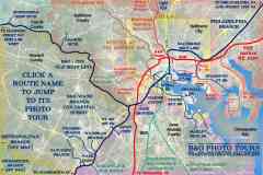
To tour a railroad, select from the map:
Or, return to main page
Copyright Notice


