


For a railway that closed a century ago, there are still several sections of the Hamilton & Dundas Street Railway (H&D) that are still visible if you know where to look. This is mostly in part because the line west of Emerson Street was taken over by the TH&B and operated as a freight line until it was closed in 1987.
As the H&D ran along roads in Hamilton nothing remains of the line from the downtown termini to the edge of the Chedoke Valley at Aberdeen & Hwy 403. This shot from Google streetview shows the former roadbed of the H&D descending down into the Chedoke valley on the south side of Hwy 403, just west of Aberdeen Avenue.
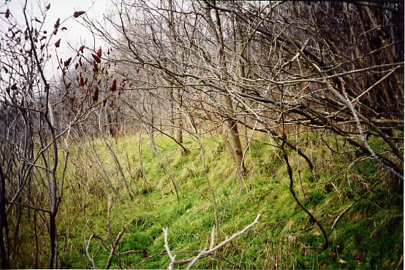
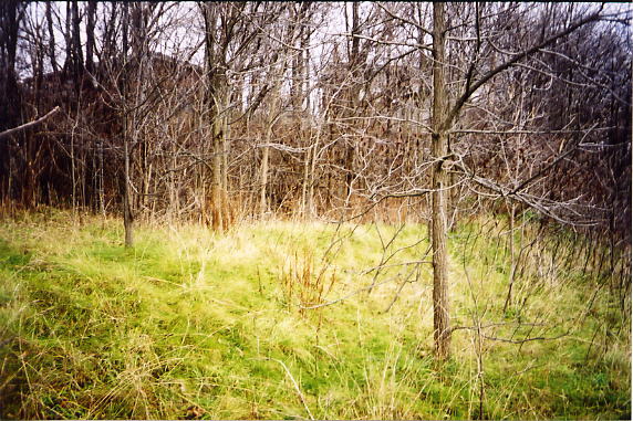
This is the roadbed between Hwy 403 and the end of Cline Ave S, looking south (left image) and north. As you can see, it’s heavily overgrown with Sumac trees, but there are also a lot of wild roses, brambles, and thistles (ouch!). I’m not going to tell how to get to this spot, but I will say go in late fall or early spring when there are no leaves, otherwise you won’t see a thing. The line ran behind the houses on Cline Ave South, climbing out of the Chedoke Valley and reaching the top near the intersection of Cline Ave South and Paul Street. Post war redevelopment has removed all traces between Cline and Emerson.

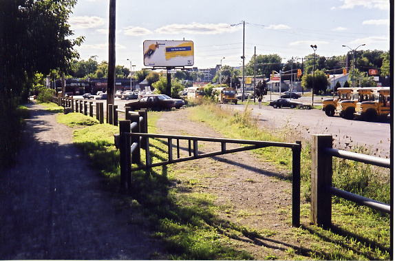
These photos are looking west at the former CP Rail’s (ex TH&B’s) Emerson Street crossing, south of Main St West and McMaster University. This used to be the mainline heading west to Brantford and Waterford, but the line was abandoned after heavy rains washed out a large section of track along the Grand River near Cainsville on May 20, 1986. Notice the long ties on the right of the photo of the first photo (October 2001). This is the site of the switch onto the former H&D. The switch was removed on January 20, 1988, but there was no point in removing the ties. In the summer of 2011 the rails and ties were removed and the Hamilton-Brantford Rail Trail was extended eastwards from its terminus at Ewen Road. Second photo taken May 2022.
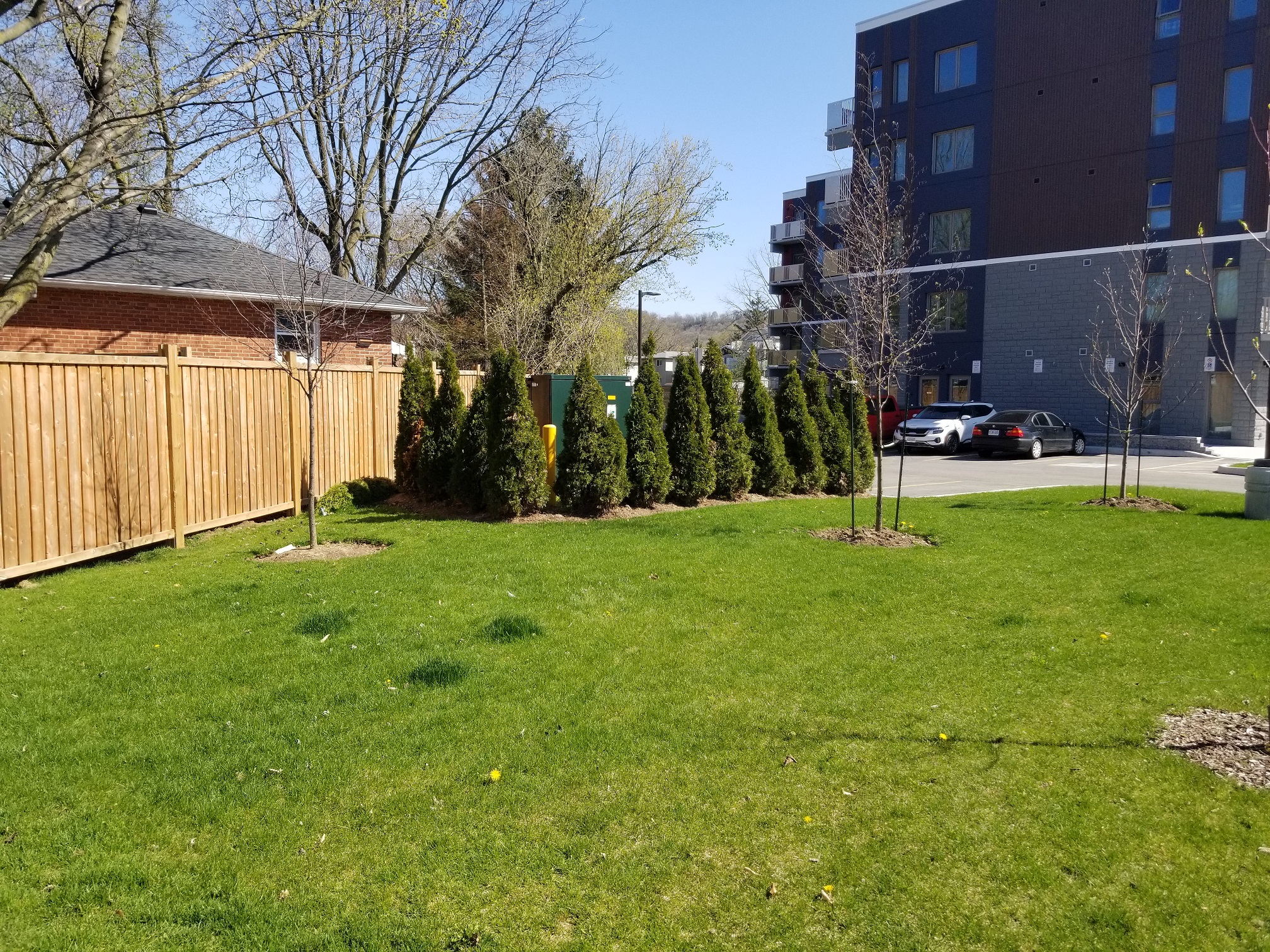
As the H&D predates the development of the area, the right of way is preserved in the property boundaries of the homes, resulting in the houses on the west side of Aylett St and the south side of Mapes Avenue between Aylet and Leland having a curved back fence. This curved property line is most easily seen along the north side of the condo that was built on Leland street on the north side of the rail trail in 2020.
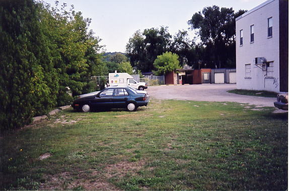
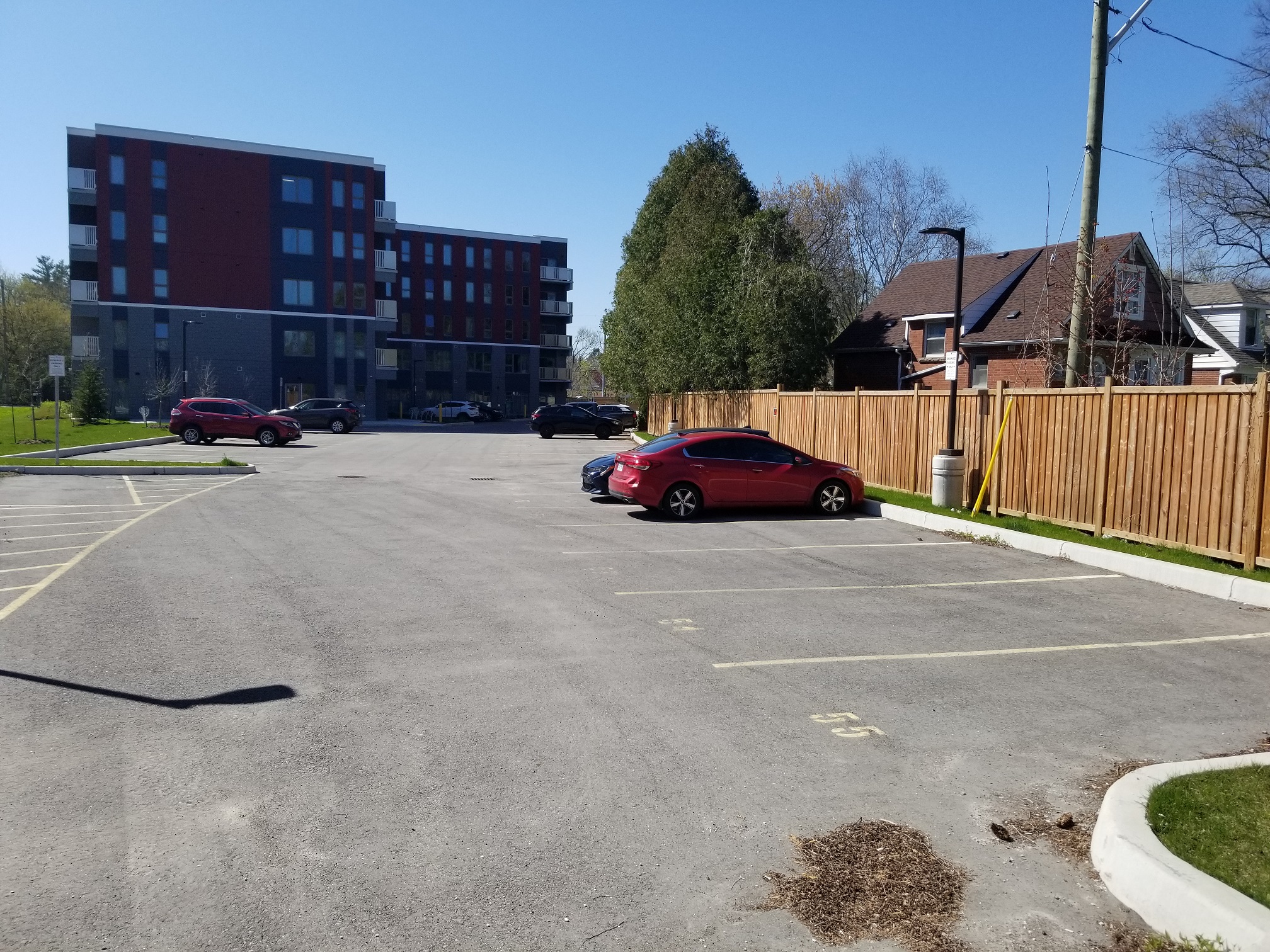
This is the corner of Leland Street and Mapes Avenue, looking southeast. After breaking off from the Waterford line, (behind the low building in the background in the October 2001 photo) the H&D branch passed through the middle of this photo, right where the cars are parked. These buildings were demolished in late 2019 and replaced with the new condo. Second photo taken May 2022.

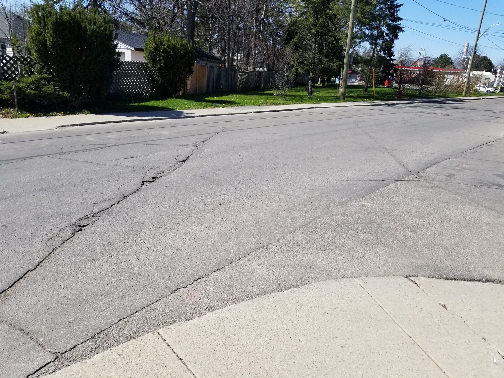
This is the corner of Leland and Mapes, looking northwest. The H&D passed through the intersection, and although the tracks are long gone, the cracks in the pavement show the direction of travel. Compare October 2001 with May 2022 to see what 20 years of wear and tear does to a road.

The H&D crossed Leland, passing where the Esso Car wash is now, and then crossed Main St W. The low rise in the photo is the old roadbed, looking south at the crosswalk at Sanders Blvd and Cootes Dr.
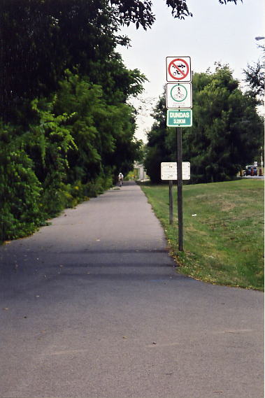
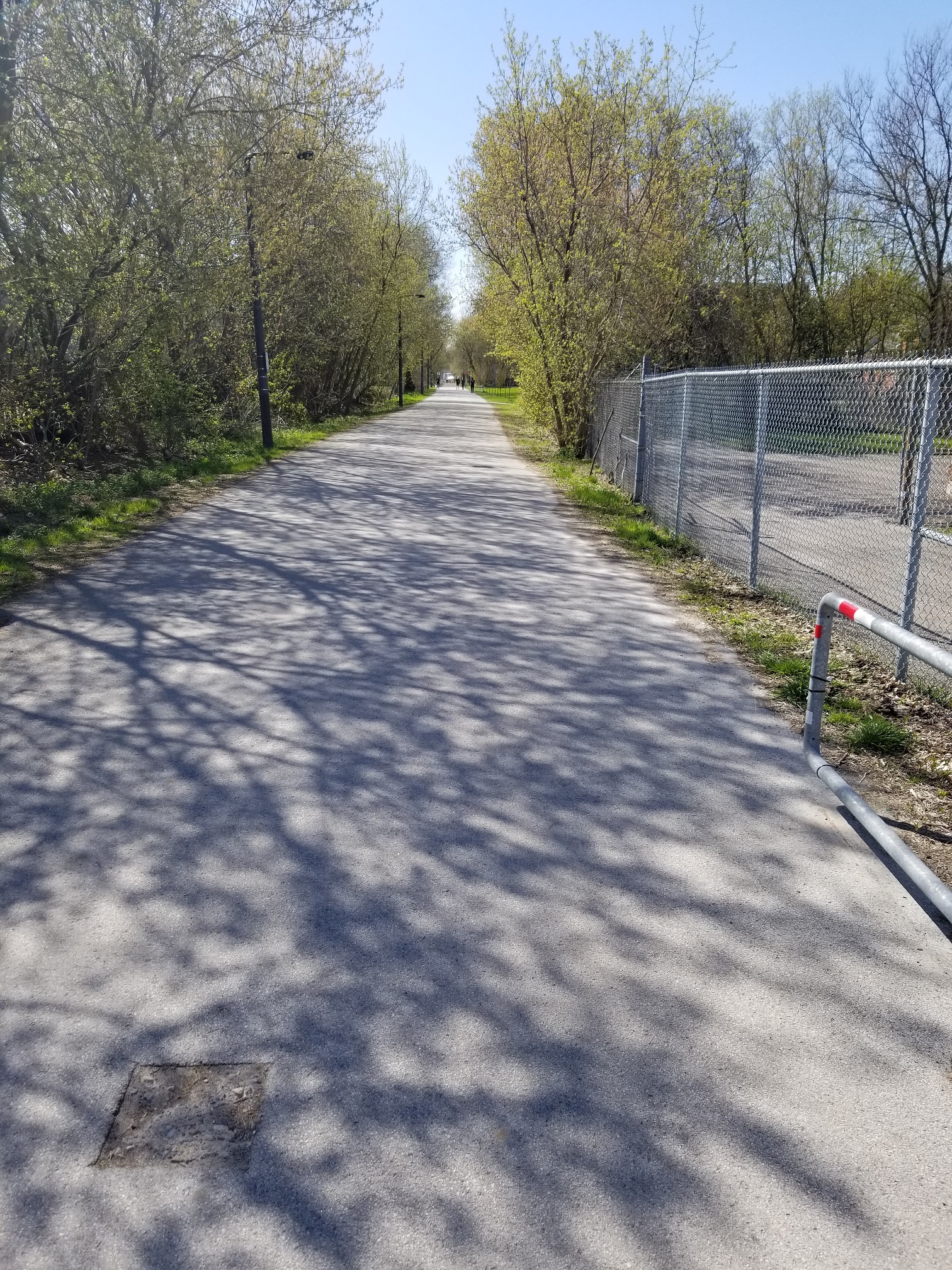
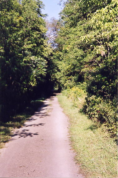
Looking north at the crosswalk at Sanders Blvd and Cootes Dr. This is the start of the Dundas Bike Trail, which is built partly on top of the old roadbed.

Still on the Bike Trail, just south of the bridge over Cootes drive to the McMaster University west parking lots. Click here (external link) to see the TH&B in action at this location.
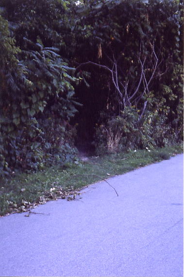
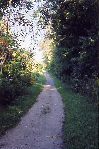
Still on the Bike Trail, just north of the bridge over Cootes drive. The roadbed breaks away from the bike trail opposite of the third streetlight north of the bridge, and enters the woods, as shown.

The roadbed skirts the edge of the baseball diamonds down near the parking lots. Anyone following this trail should watch out for Poison Ivy, but also keep an eye out for the plentiful wildlife in the area.


Above are some of the sights along the H&D line. On the left are the remains of an old railroad tie, on the right is how the greenery has encroached onto the right of way.
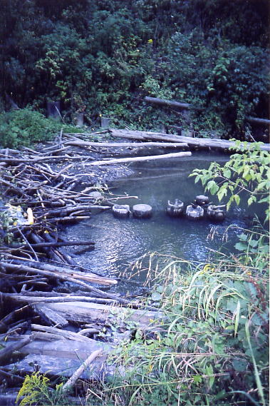
After a few hundred metres, the roadbed reaches Ancaster Creek (also known as Coldwater or Black Creek). If you step to the edge of the river, you’ll see the old bridge footings in the middle of the river.
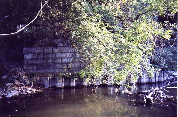
The trail leaves the roadbed and parallels the river. Following the path downstream, crossing the river at the Cootes Drive Bridge, and following the Spencer Creek trail upriver, will return you to the roadbed and the massive bridge abutments of the H&D’s Spencer Creek bridge. These were not part of the original H&D, but were placed after the TH&B bought the H&D in 1930
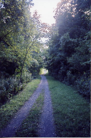
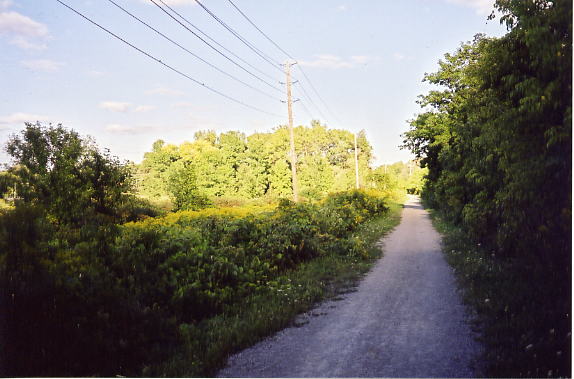
The Spencer Creek Trail now runs on top of the roadbed all the way to Dundas. Above are several shots (1,2,3,4) of the scenery along the Spencer Creek Trail. This portion of the line was straightened by the TH&B, as was the ajacent creek.
Looking westward into Dundas, near the intersection of Cootes Drive and Dundas Street. The roadbed is to the left. The H&D went up Dundas St to the intersection of Dundas and Main St.
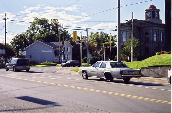
The intersection of Dundas Street and Main Street. The H&D turns at the intersection, heading northwest past the Dundas Town Hall on the right. Click here to see the TH&B in action at this location.
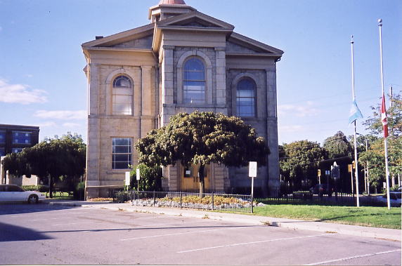
The Dundas Town Hall. The H&D passed where the parking spaces are, heading northwest to Hatt Street
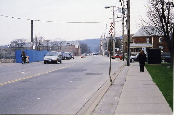
Hatt St and Ogilvie St, looking west
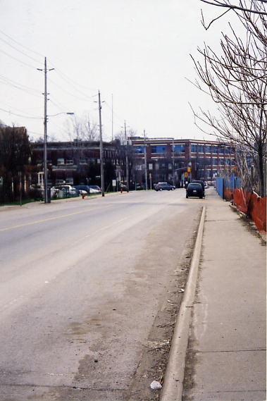
Hatt St and Memorial Sq, looking east.


