Search Railroad Sites For:
Old Main Line Photo Tour

B&O Old Main Line
Modern day photo tour

Accompanying each photo below are:

Click a photo to see a larger view. Please send your comments and corrections to Steve.


Rural

Rural
Mile: 46.4 Date: Sep 2005
Ease: A View: W
Area: A IC2:
Map: Fr 40 F 1 Topographic Map

West of Monrovia, the scene becomes progressively more rural as the tracks and I-70, adjacent pals since before Mt. Airy, part company.

In this vicinity, the ADC maps block off an "Intercoastal Industrial Center" but there are more empty fields than industry here so far. The grade crossing in the foreground provides utility access.

For future reference, note the concrete Whistle post on the left.


Mt. Airy Cutoff

Mt. Airy Cutoff
Mile: 46.5 Date: Sep 2005
Ease: A View: E
Area: A IC2:
Map: Fr 40 F 1 Topographic Map

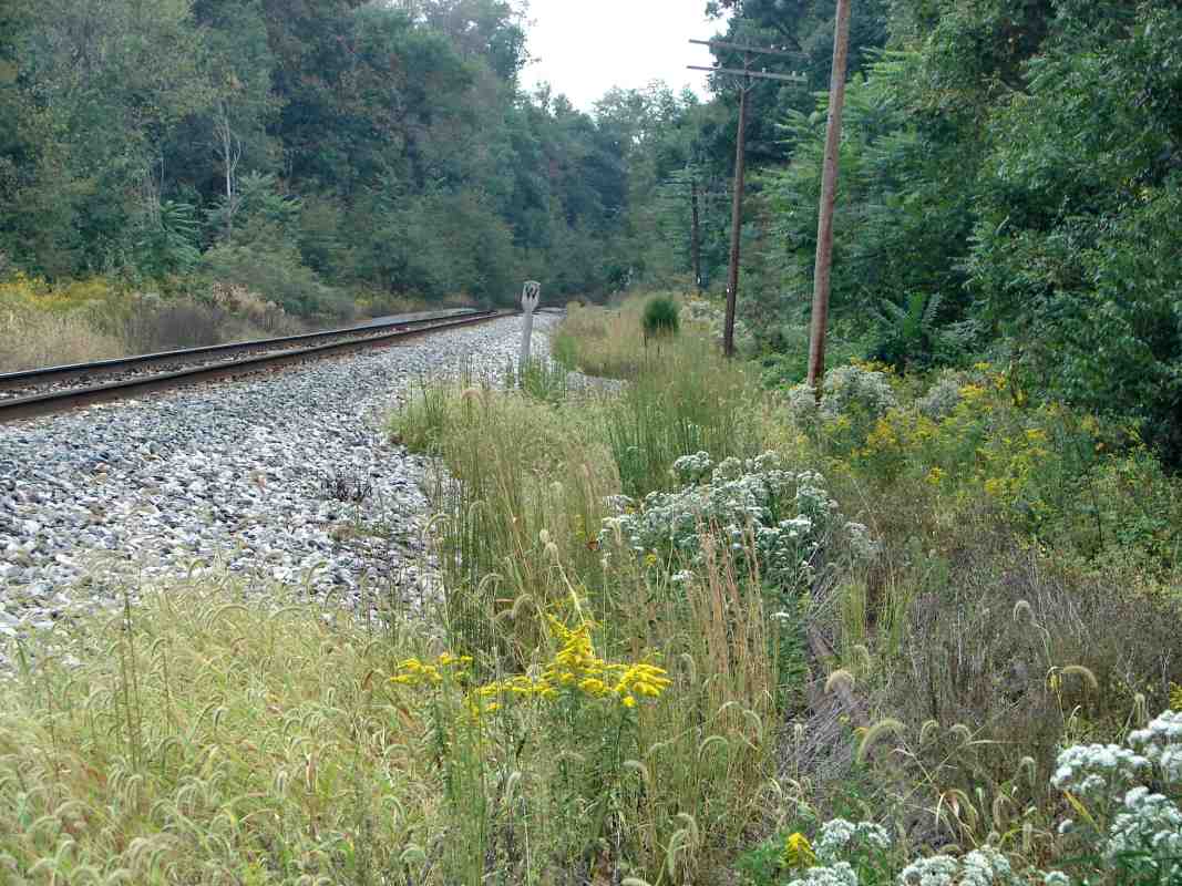
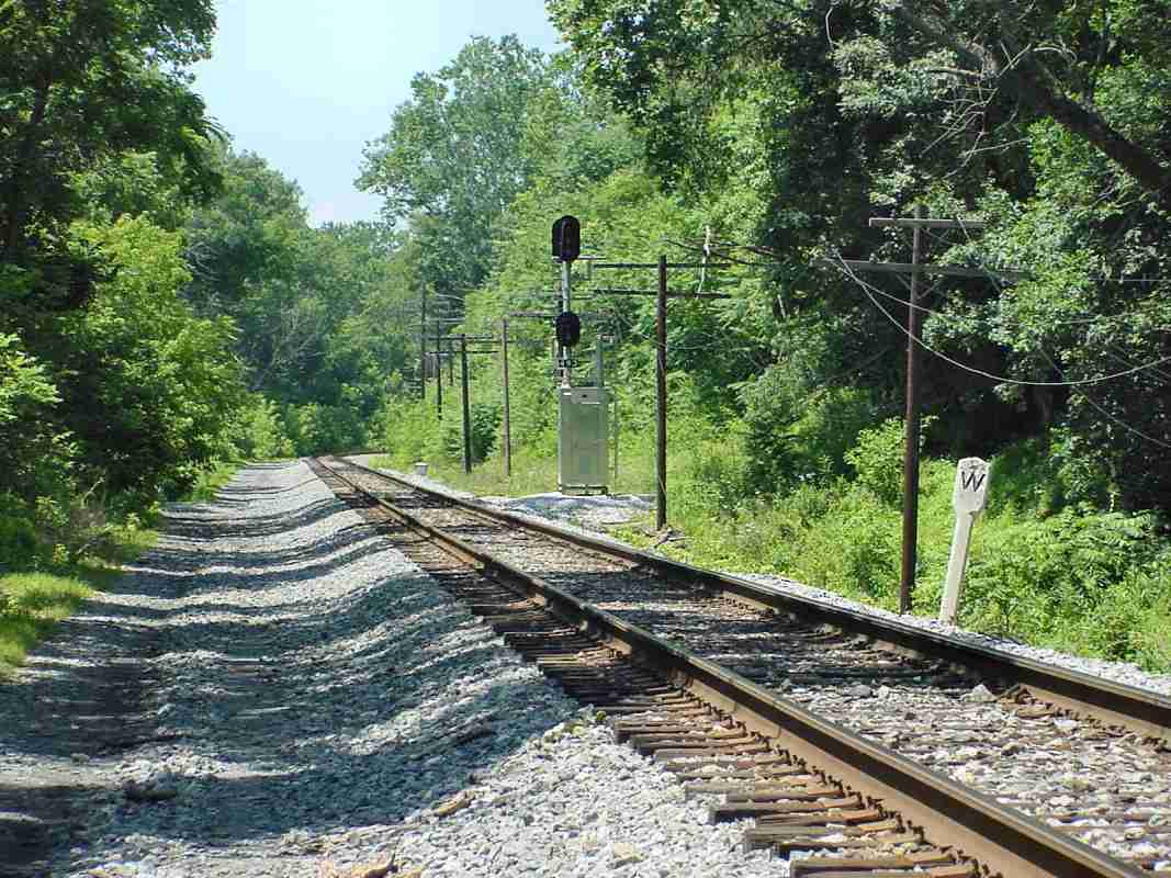
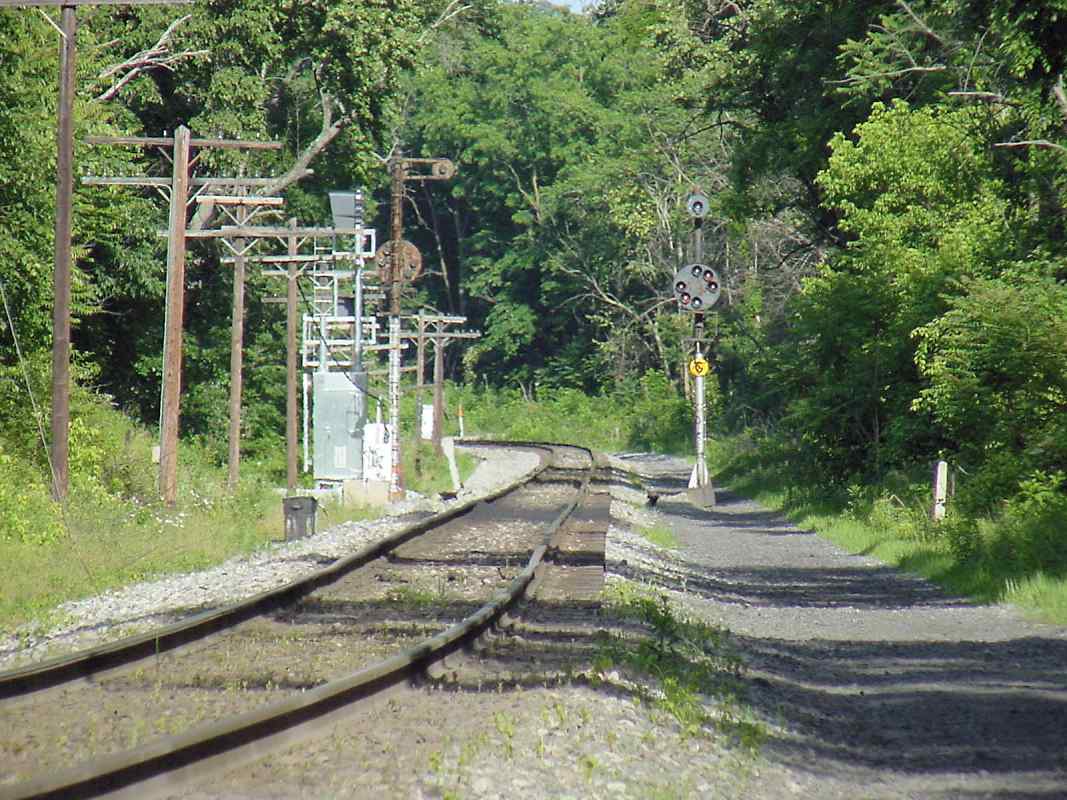
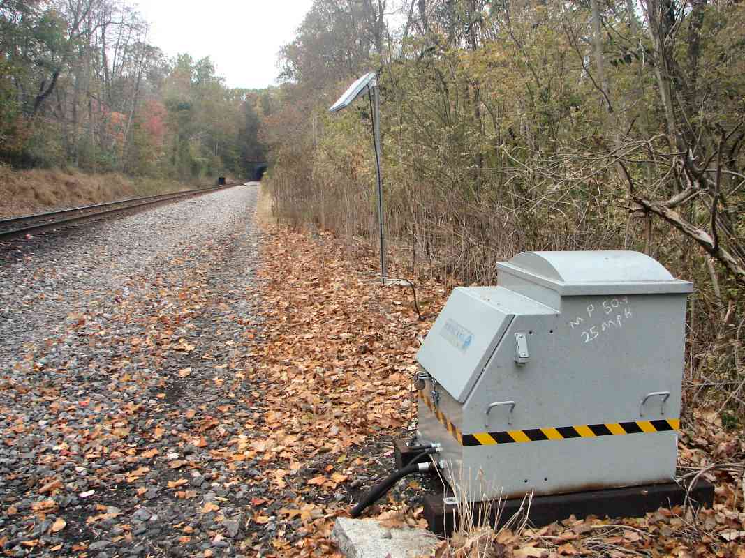
There's the same Whistle post as seen from the opposite direction.

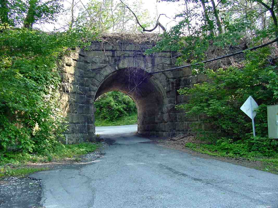
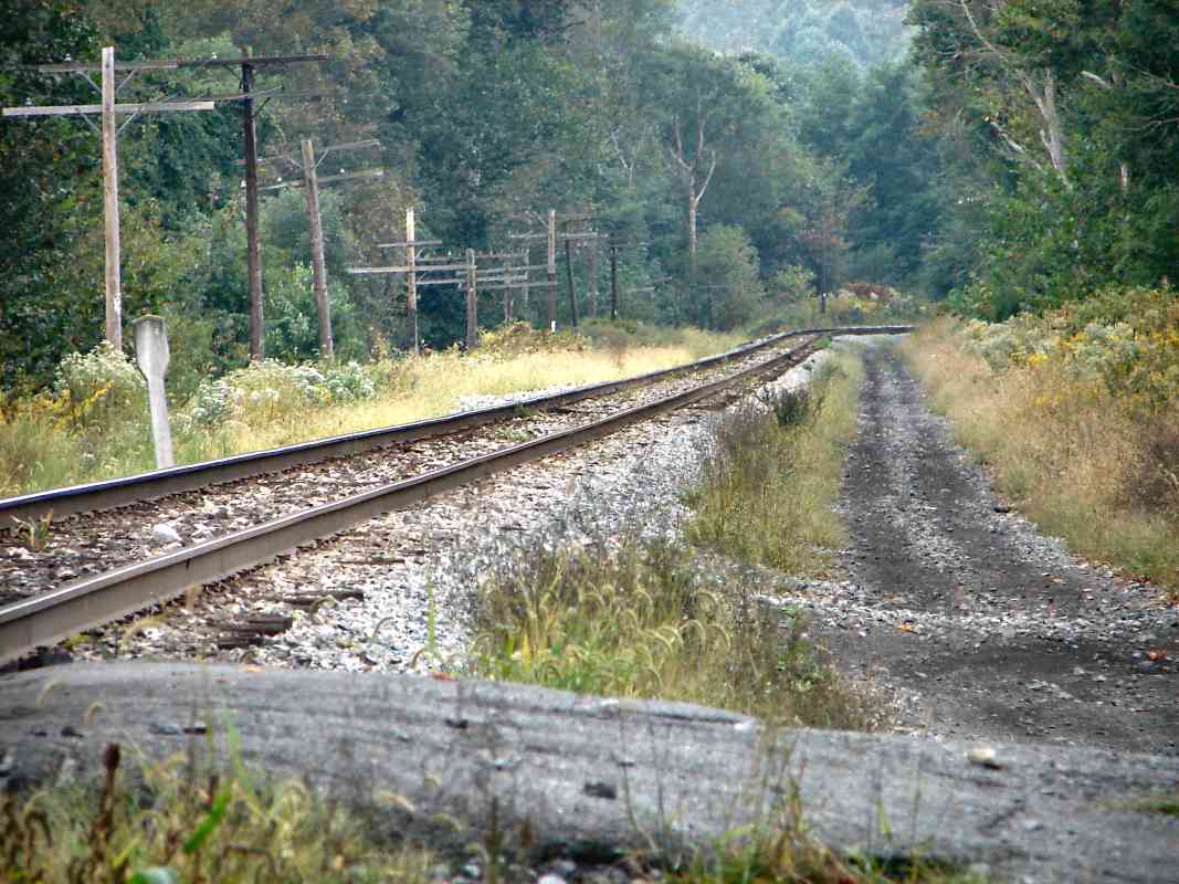
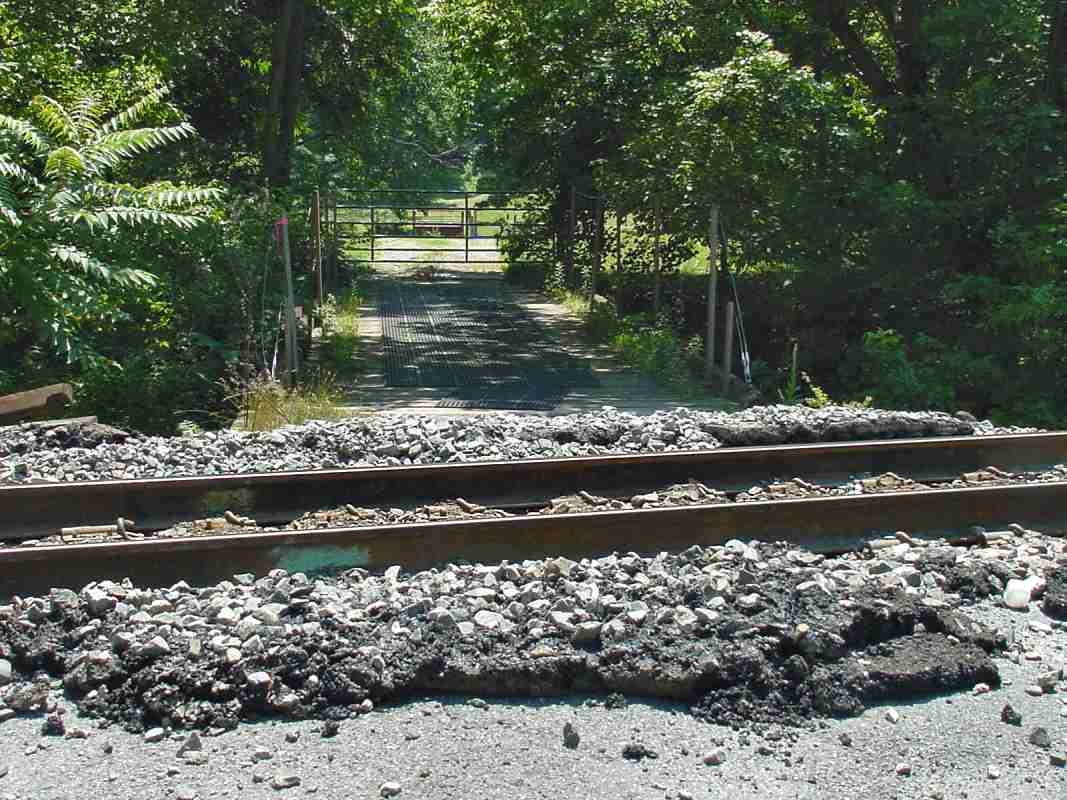
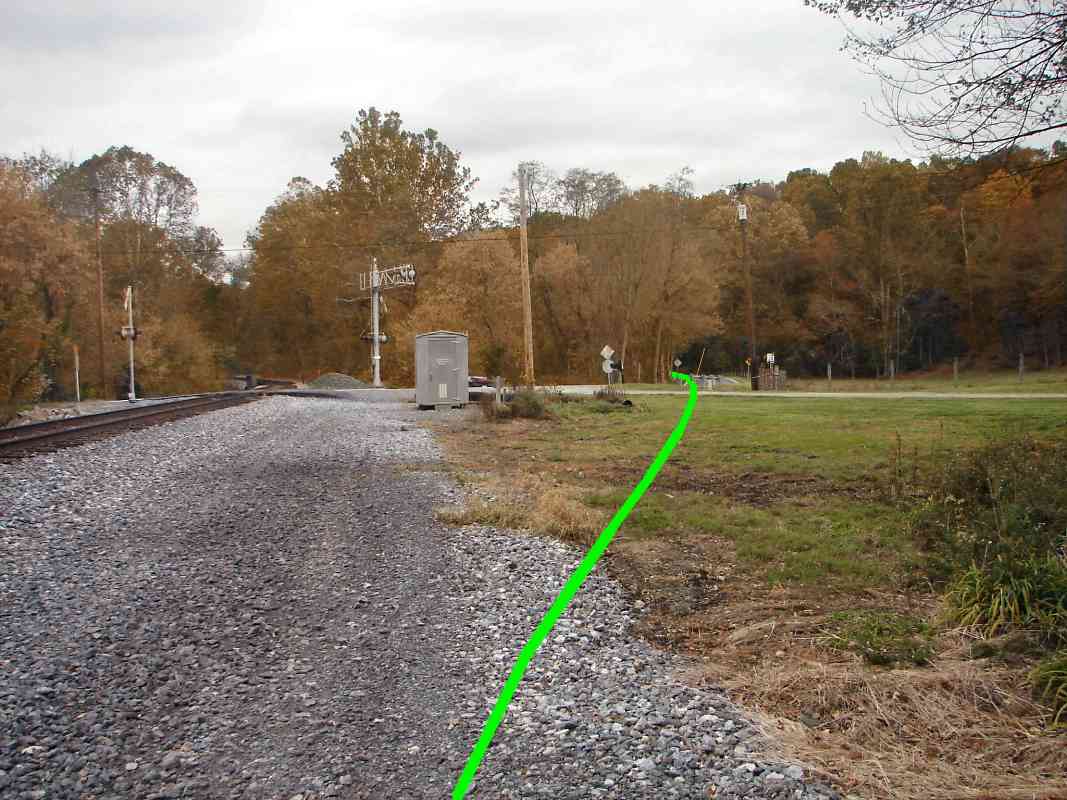
This non-descript location is significant because it is the western terminus of the Mt. Airy Cutoff. Click on the picture to enlarge it, then look carefully at the bottom right, and you may spot the rusty rail hiding in the weeds. That rail is an artifact left over from the OML's original alignment.

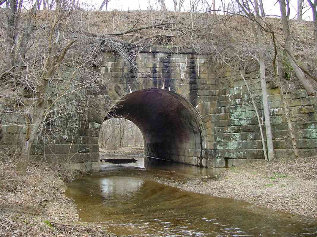
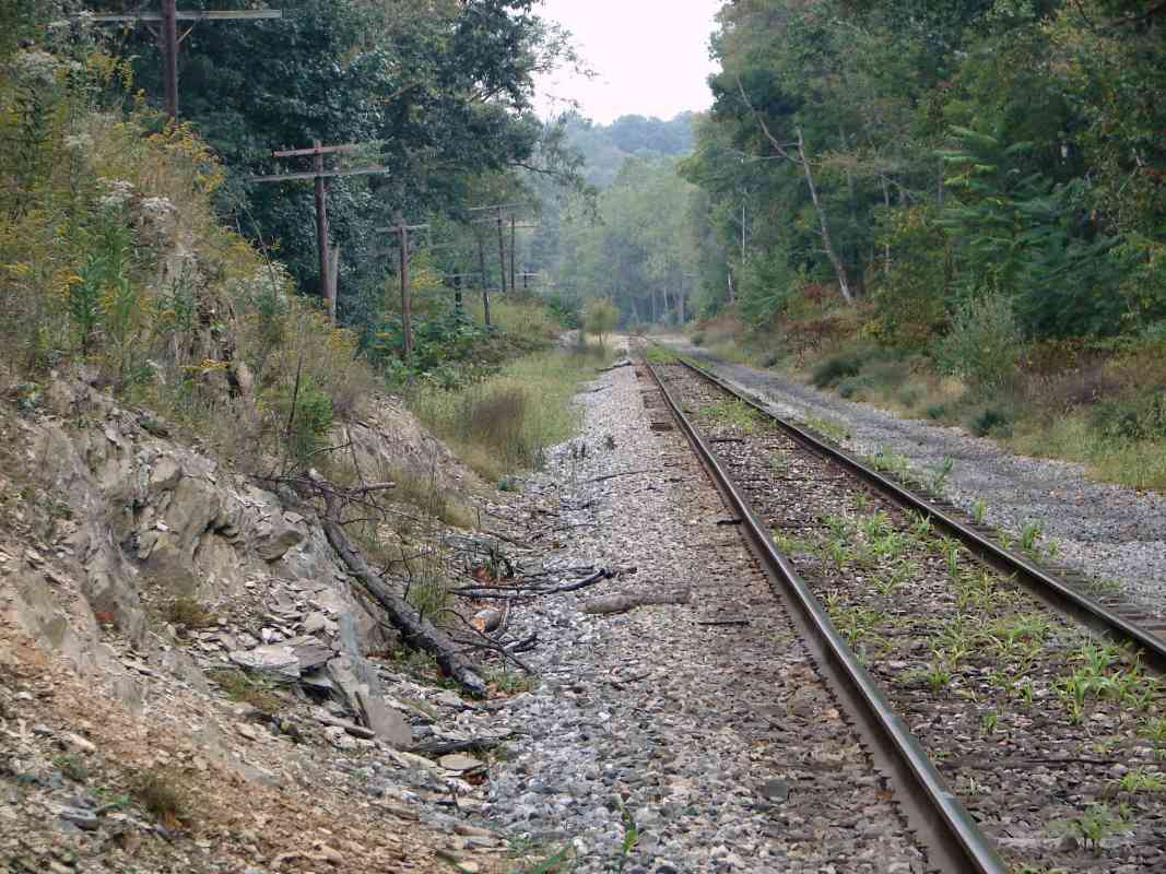
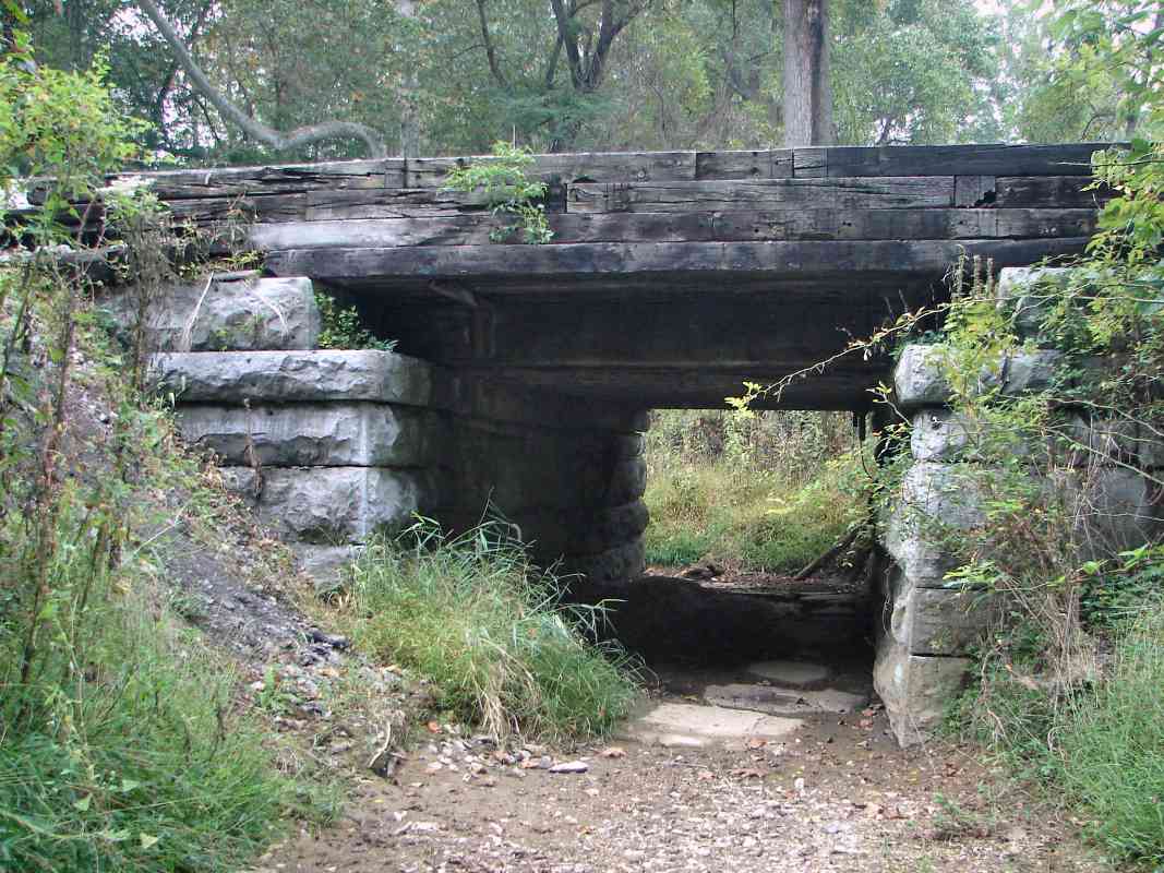
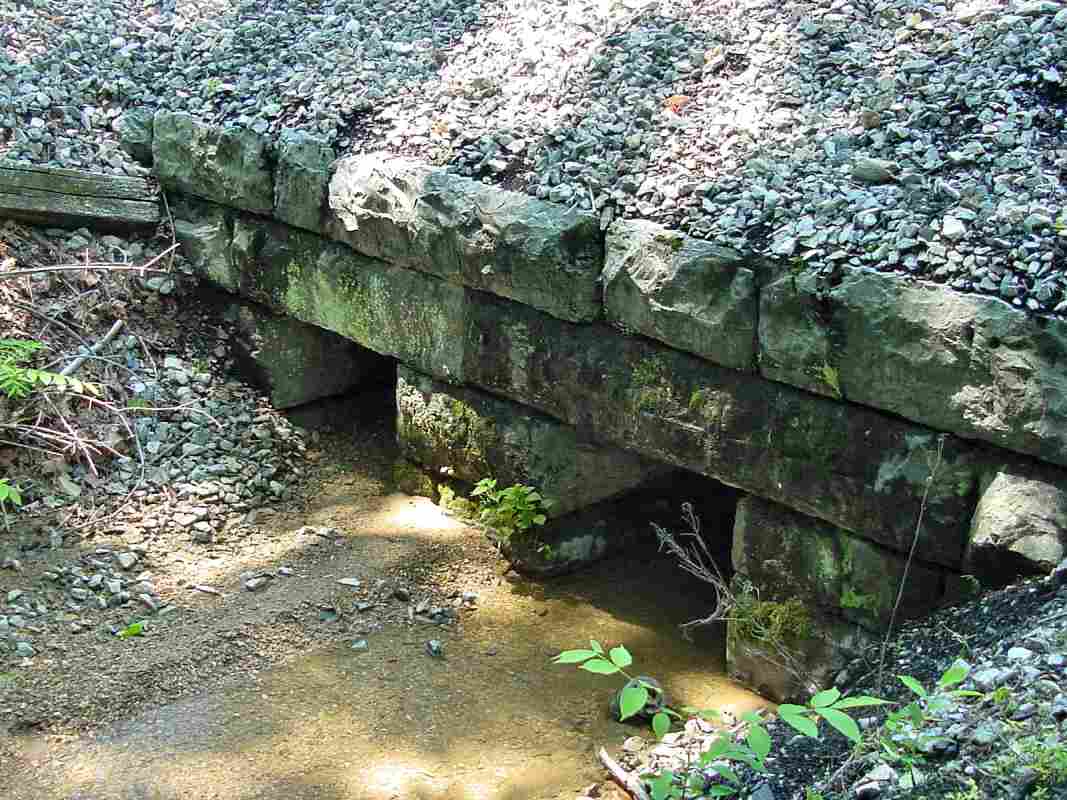
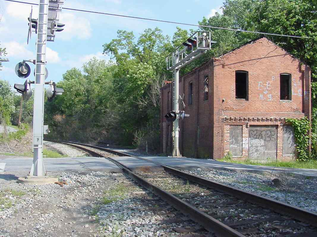
Prior to the construction of Mt. Airy Tunnel and Cutoff, from here east to Bush Creek, the original alignment had run roughly parallel just to the south. Upon opening of the Cutoff route in 1902, the original alignment was abandoned, except for a portion that survived for decades as a siding into Monrovia.

A virtual tour of this disused original alignment appears on other pages at this site.


UT Test

UT Test
Mile: 46.6 Date: Sep 2005
Ease: B+ View: S
Area: A IC2:
Map: Fr 40 E 1 Topographic Map

UT = Ultrasonic Test

The same technique used for some medical tests, such as checking a developing fetus, can be employed for non-destructive evaluation of steel rails. In a UT rail test, an instrument generates sound waves in the rail, then monitors how the waves bounce back. Internal defects and irregularities in the steel cause the waves to bounce back in a distinctive manner the instrument can detect.

The punched out information on the tag says this test had been performed here on February 23, 2005. An odd-looking ribbon rail weld nearby may have been the reason for the test.

I suspect "UT test" is redundant in the same way "ATM machine" and "PIN number" are.


Corny

Corny
Mile: 47.0 Date: Sep 2005
Ease: B View: W
Area: A IC2:
Map: Fr 40 D 1 Topographic Map

A new cash crop for CSX? An ear for railfanning? Aww, shucks, very corny.

It's late in the season, but this determined plant found a home in the ballast and produced a tiny ear of corn.


Cornfield

Cornfield
Mile: 47.2 Date: Sep 2005
Ease: B View: W
Area: A IC2:
Map: Fr 40 D 1 Topographic Map

That green stuff between the rails? Yes, that's more corn. In the spring, the door on a passing hopper car rumbled open, and left a trail of corn kernels behind. It amazes me that the seeds found enough soil and moisture to grow within the ballast, however something tells me these will not get much taller...


Bridge 32 1/4

Bridge 32 1/4
Mile: 47.4 Date: Sep 2005
Ease: B View: N
Area: A IC2:
Map: Fr 40 D 1 Topographic Map

This example is the largest of a series of small culverts/bridges in this vicinity; according to B&O Roadway maps, it goes by the name "32 1/4".

The mortarless construction says this bridge dates to the 1830s, and the stone shelf suggests it had previously had a stone arch. I suspect the arch was a casualty of regrading necessitated by the Mt. Airy Cutoff.

Like all the bridges along the route, it is wide enough to accommodate double track, but has hosted single since the 1950s.


Double Culvert

Double Culvert
Mile: 47.9 Date: Jul 2005
Ease: C+ View: NW
Area: A IC2:
Map: Fr 40 B 1 Topographic Map

What do you do when there's more water than a single culvert can handle, but not enough vertical clearance for an arched bridge? Why, you build a double culvert of course. This one dates to the 1830s. There's another example of the double design along a disused ROW in the vicinity of Hartman Tunnel. That one and this are the only two I know of.


Trackwork

Trackwork
Mile: 48.9 Date: Jul 2005
Ease: B View: S
Area: A IC2:
Map: Fr 39 K 1 Topographic Map

Recent trackwork by CSX left this farm's grade crossing in need of repair. The small bridge ahead spans Bush Creek.


Crossing Ahead

Crossing Ahead
Mile: 49.2 Date: Jul 2005
Ease: B View: W
Area: A IC2:
Map: Fr 39 J 3 Topographic Map

The Whistle post warns of a crossing ahead. We're approaching Ijamsville.


Changing of the Guard

Changing of the Guard
Mile: 49.3 Date: May 2004
Ease: B View: E
Area: A IC2:
Map: Fr 39 J 3 Topographic Map

This is the reverse view of the prior, snapped a year earlier while the CPL signals were still on duty.


Ijamsville

Ijamsville
Mile: 49.4 Date: May 2001
Ease: A View: SE
Area: A IC2:
Map: Fr 39 J 3 Topographic Map

Sleepy Ijamsville sits quietly along the OML, its slate quarry closed long ago. The B&O used to have a station here, but I don't believe that it was the disused brick building shown. I don't know what this building housed. The grade crossing is that of Mussetter Road.

Reader Nick Fry writes:

    "Steve, the brick structure in Ijamsville is the former general store. I live near the area and have done some research on both Ijamville and Monrovia. Both towns were destroyed by the Great Depression, specifically in 1930 when the local bank failed, taking all of the other businesses with it. Across the road from the front of the store in Ijamsville is the site of an old mill that as of the early 1990's was in ruins but standing. Apparently CSX or the county had those ruins torn down. The (former B&O) station in Ijamsville is on the other side of the tracks about 50 feet or so east from the site of the old store. According to an article from the Frederick News Post that I got from the Historical Society of Frederick Co., there was a concrete slab from the foundation visible until the 1970's."


Bridge 33B

Bridge 33B
Mile: 50.4 Date: May 2001
Ease: B View: W
Area: A IC2:
Map: Fr 39 F 2 Topographic Map

Since departing Mt. Airy, the OML has been following Bush Creek, but this is the first tour picture that shows the stream, here muddied by spring rains. Barely discernable on the steel wall at right is the faded bridge number 33B.

Bush Creek meanders a fair amount in this area, and the OML crosses it six times within a distance of about 2 miles. All the bridges resemble the one pictured here. According to Impossible Challenge, Hartman Tunnel (ahead) was built in 1901-1902, so it's logical these bridges were constructed at the same time. One of the bridges ahead carries a date plaque of 1927 however, so perhaps the bridges seen now are not the originals.

More evidence of the OML's former life in a double-track configuration is obvious here. Apparently CSX has deemed centering the remaining track unnecessary, and the worn timbers provide maintenance truck access to Hartman Tunnel.


Hartman Tunnel, East

Hartman Tunnel, East
Mile: 50.7 Date: May 2001
Ease: B View: W
Area: A IC2:
Map: Fr 39 F 2 Topographic Map

At 215 feet, Hartman Tunnel is the shortest along the OML. Like most of the route's other tunnels, it was built around 1902 to straighten what had been an excessive curve around a hill. The 6 degree curve that remains is exceeded only by the 7 degree curve of the Union Dam Tunnel.


Hartman Tunnel, West

Hartman Tunnel, West
Mile: 50.8 Date: May 2001
Ease: C+ View: E
Area: A IC2:
Map: Fr 39 F 2 Topographic Map

The limestone of Hartman Tunnel's west portal shines brightly in the May sun.


Abandoned Bridge

Abandoned Bridge
Mile: 50.8 Date: May 2001
Ease: C View: W
Area: A IC2:
Map: Fr 39 F 2 Topographic Map

Hiding in the woods on the south side of the current ROW are stone piers from the Bush Creek bridge abandoned when Hartman Tunnel forged the new route. Note the lack of mortar, indication of original circa 1830 construction.

Part of the current bridge (33C) can be glimpsed in the distance downstream at center right.


CSX 712

CSX 712
Mile: 50.9 Date: Mar 2005
Ease: C+ View: W
Area: A IC2:
Map: Fr 39 F 2 Topographic Map

At bridge 33C, CSX 712 leads an eastbound coal drag uphill to surmount Parrs Ridge at Mt. Airy.


Can You Hear Me Now?

Can You Hear Me Now?
Mile: 51.2 Date: Mar 2005
Ease: C View: S
Area: A IC2:
Map: Fr 39 E 2 Topographic Map

In the distance, communications engineers check the status of the new signals at East Reel, one endpoint of a roughly 12,000 foot siding, the OML's longest. Because the temporary dish (left of tracks) is oriented SW, I'm guessing it is pointing to a geostationary satellite somehow involved in the process. Anyone know for sure?

In the foreground is bridge 34 with a plaque that reads "American Bridge Company. U.S.A. 1927". Within a mile long stretch in this area, the OML spans Bush Creek a total of 4 times. Sometime prior to 1927, the tracks followed a very different alignment that will be shown in a future photo tour update.


Reels Mill

Reels Mill
Mile: 52.8 Date: May 2001
Ease: A View: NW
Area: A IC2:
Map: Fr 39 B 3 Topographic Map

Some days on the OML it's more likely you'll see inspection and maintenance vehicles than trains. This one has just passed the Reels Mill Road grade crossing.

At this spot eastbound trains begin their ascent over Parrs Ridge at Mt. Airy.


Reels Mill Yard
NEW! Jun 2006

Reels Mill Yard
Mile: 52.9 Date: Apr 2005
Ease: B+ View: NW
Area: A IC2:
Map: Fr 39 B 2 Topographic Map

The increase in spacing between the OML and its siding marks the location of Reels Mill Yard. Around 1903 the B&O constructed a helper station here, with coaling trestle, interlocking tower and water tank. But, the helper engines were actually based at Brunswick, some distance west, and there were no turning capabilities at Reels Mill. The incompleteness of the facilities led to their closure in 1925.


Sign Sign Everywhere a Sign
NEW! Jun 2006

Sign Sign Everywhere a Sign
Mile: 53.1 Date: Apr 2005
Ease: B View: SE
Area: A IC2: 207
Map: Fr 39 B 2 Topographic Map

Before Tesla covered the song, the Five Man Electrical Band sang those lyrics. Before electricity powered locomotives, coal did. The soil at the bottom left is black with detritus from the coal tower that once stood at this location.

In addition to the W whistle post for the grade crossing ahead, three generations of mile 53 sign posts are blockin' out the scenery. Between the tallest and newest 53 and the utlity pole, note the milepost on a rail, the oldest marker of the bunch.


Descent
NEW! Jun 2006

Descent
Mile: 53.2 Date: Apr 2005
Ease: B View: W
Area: A IC2:
Map: Fr 39 A 2 Topographic Map

If the tracks appears to be descending as they leave Reels Mill Yard, it's because they are, slightly, down to the Monocacy River, which is the next stop on the photo tour.


Continue to the next page in this tour

Or, return to main page


Copyright Notice


  Free Web Hosting Since 1996. Join & Become Part of the TrainWeb's Railroad Community.