|
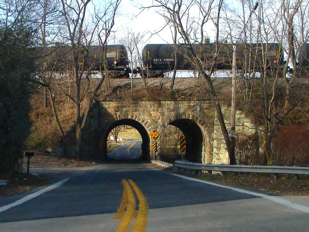
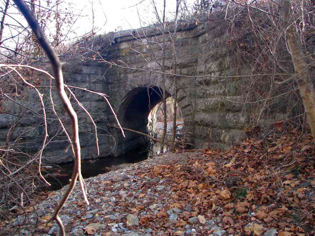
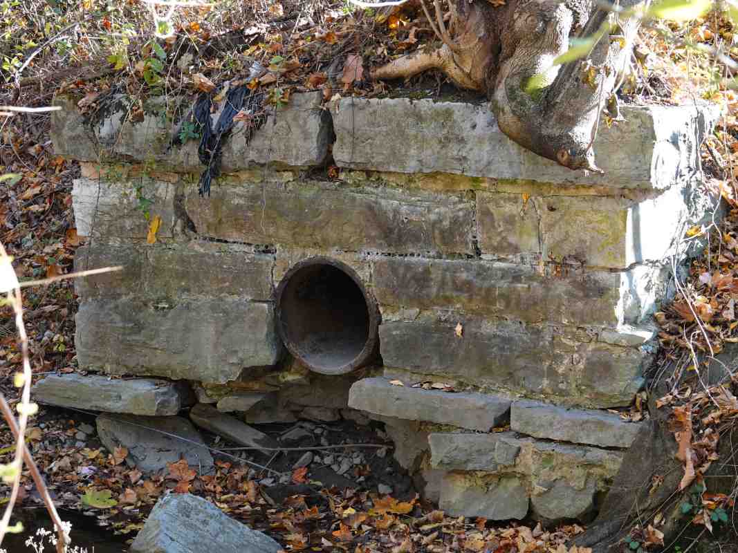
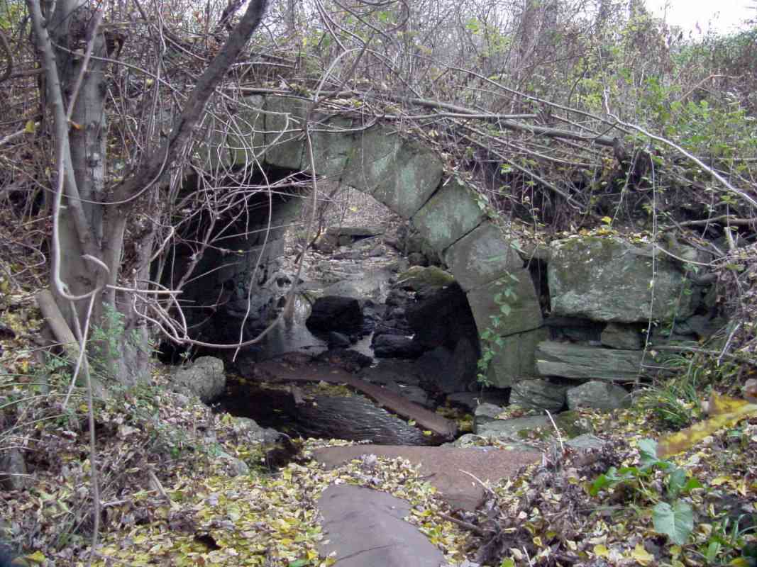
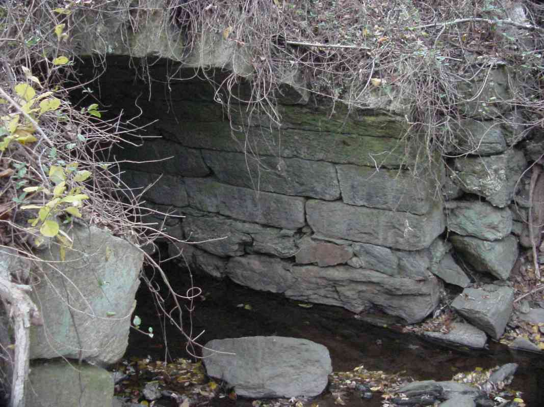
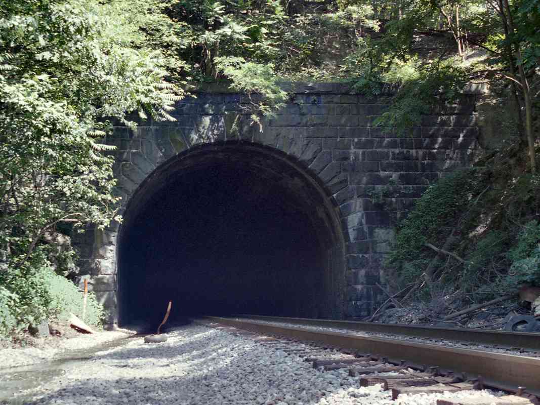
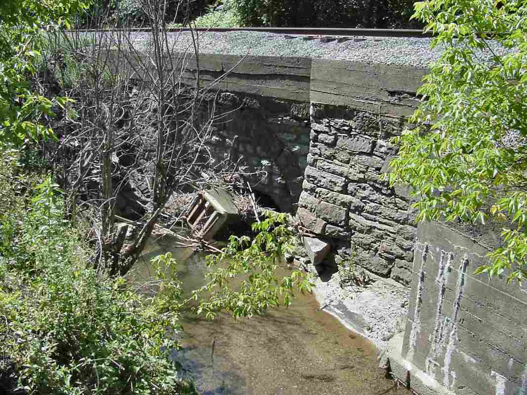
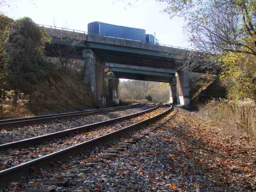
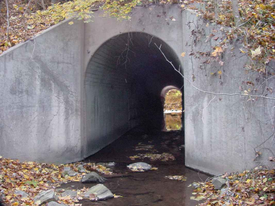
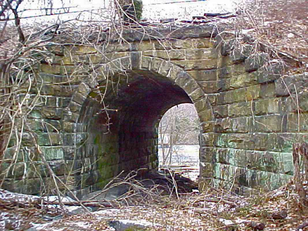
This is the other side of the same bridge.
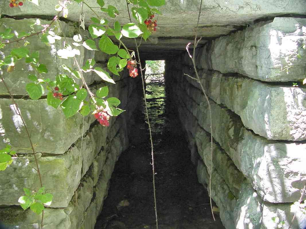
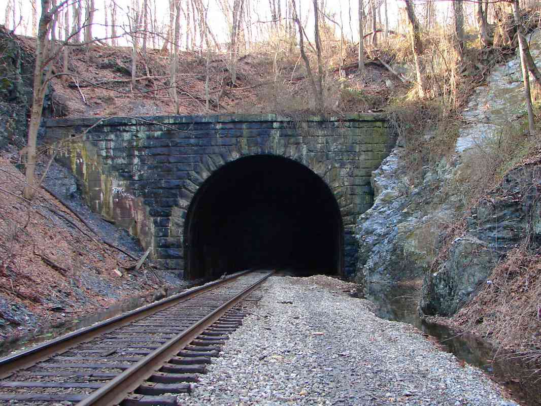
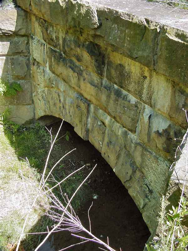
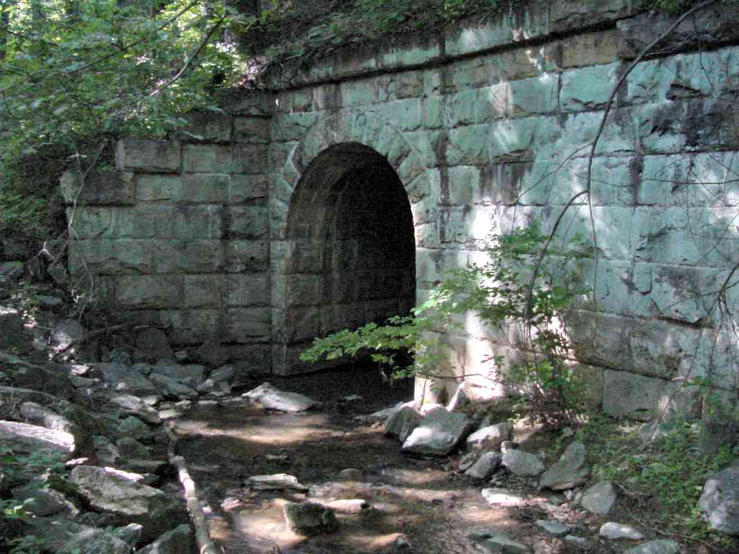
At first I wondered why the "tunnel" for the stream is so long. I
checked maps and noticed that the construction of I-70 necessitated a
small realignment of the railroad. The tracks were shifted north,
and rather than destroy the old bridge, the railroad decided to extend
it and retain the arched style. 1973 is embossed into its concrete.
As a result, to my knowledge,
this example represents the most modern (and perhaps last)
arched masonry bridge construction built by/for B&O.
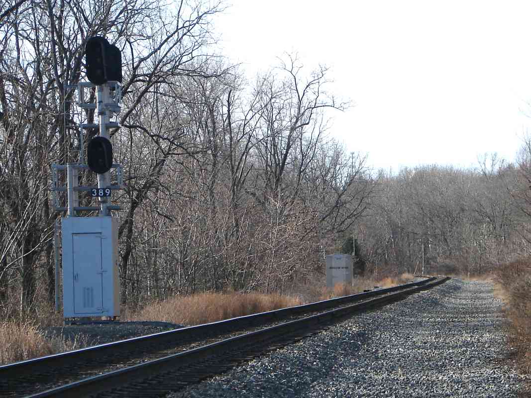
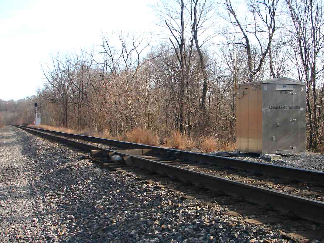
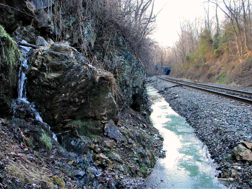
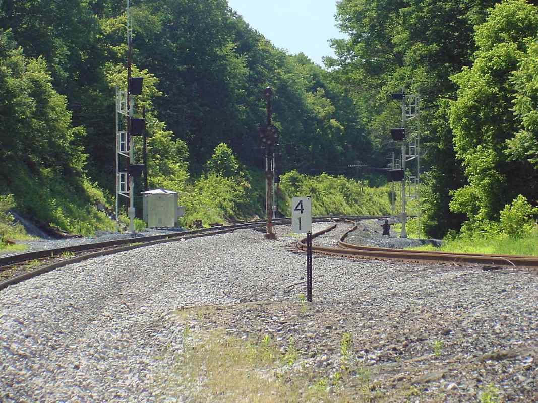
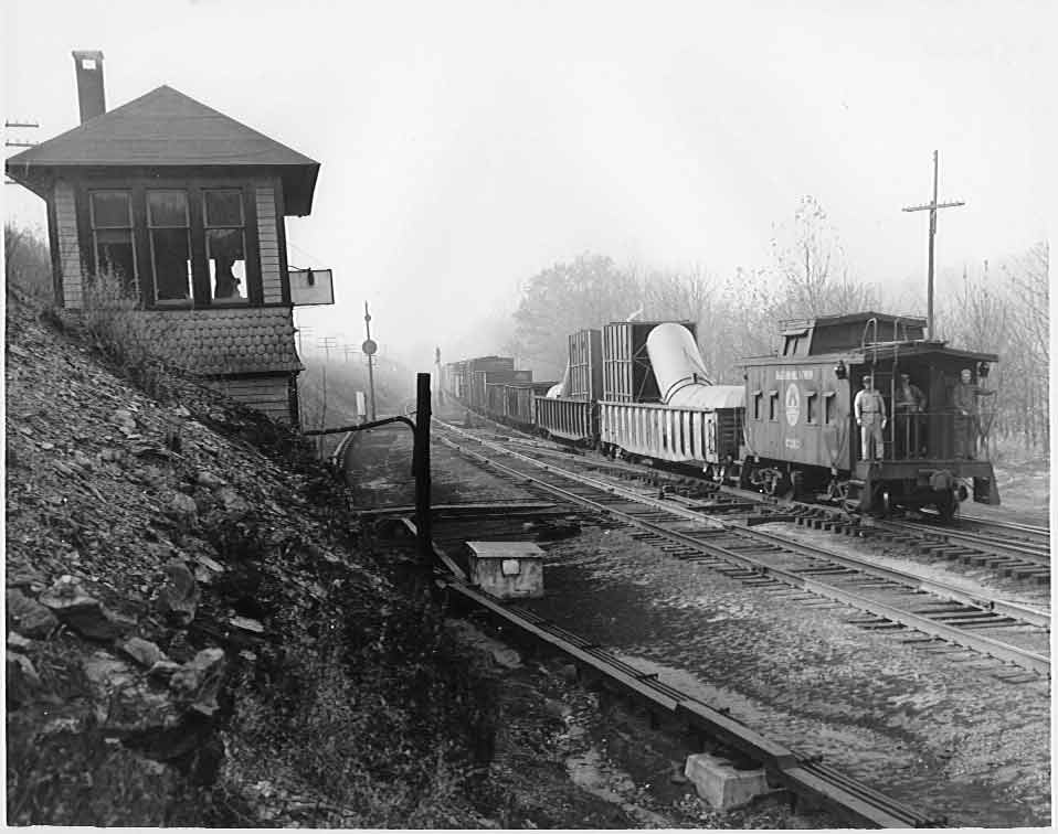
Near here had been the bottom of Plane 4, the westernmost of four steep,
inclined planes the railroad employed during the 1830s. At each plane, first
horses, then perhaps steam winches, then helper engines were used to boost
trains up over the ridge at Mt. Airy.
|