


The route of the B&H remains in relatively good condition because the roadbed followed very few roads, and for the most part cut across country. Add to this fact that Ancaster has only recently been rapidly sprawling out, and there is a fair bit left to see. Starting from the downtown terminal, the B&H headed west on Main, and then south on Hess, turning off and cutting across the intersection of Queen and Aberdeen before it started a long climb up the Escarpment.
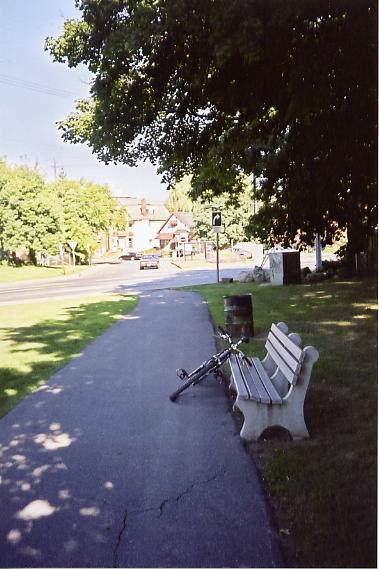
The paved path across Mapleside Park (some maps call it Radial Park) at Queen and Aberdeen follows the roadbed, but it’s only about 50 metres long.
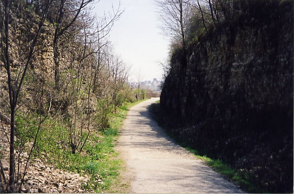
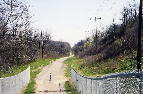
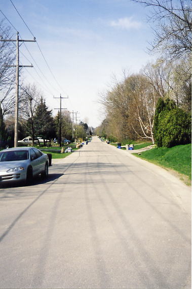
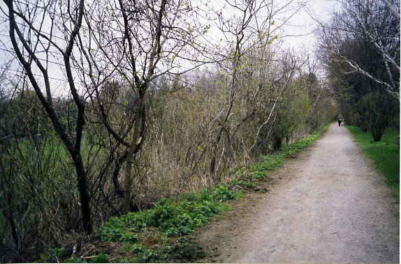
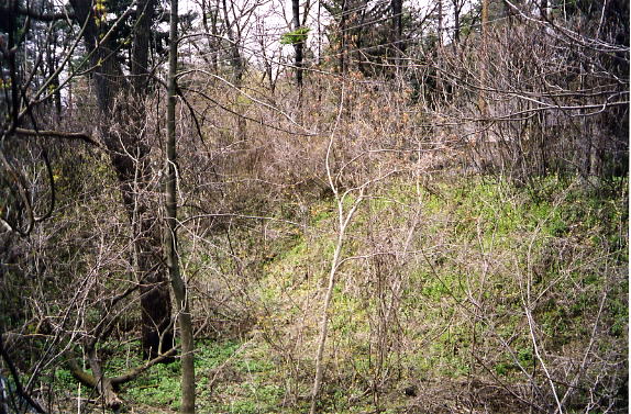
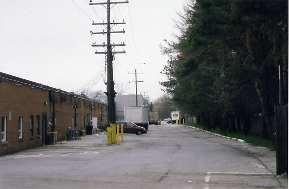
The B&H route, looking west. The roadbed is then buried under several streets worth of houses. The roadbed reappears at the intersection of Beulah and Hillcrest, as the Chedoke Radial Trail.
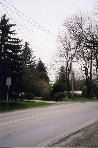
This level area (by the fire hydrant) on Kent Ave as the road rises to meet Glenfern Ave (behind the camera) is the location of the B&H. Although the radial line has been built over in this area, there are subtle signs of it between Mapleside Park and Beulah and Hillcrest. The homes built where the radial line was located are decades younger than the other houses on the street. The neighbourhood was built up in the 1920s while the radial line was in service. When the B&H shut down in 1931 the plots of land it occupied were sold, but due to the Great Depression and WWII no homes were built on these plots until around 1950. There's even a house on Mountain Ave that is built on top of the old radial tracks, flanked by trees that grow along the old radial route. The B&H also left its mark on the roads in this subdivision. The reason why Glenfern Ave has an S-curve at Undermount Ave, why Amelia St stops before it reaches Mountain Ave, and why Miles Ct doesn't reach Hillcrest Ave is because the B&H was in the way when the subdivision was built.
Dundurn Loop, looking east along the radial trail.
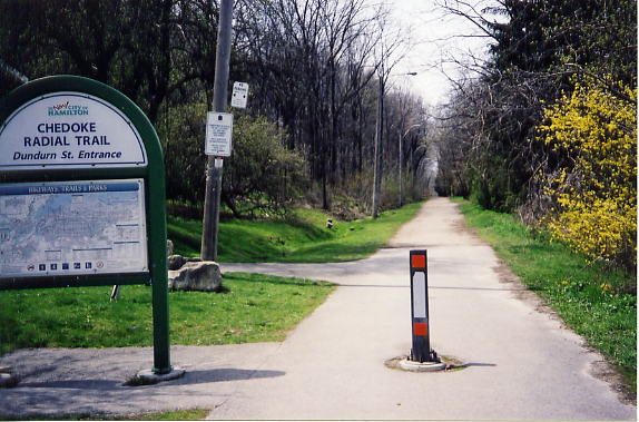
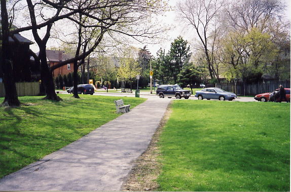
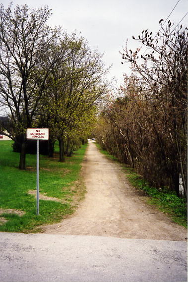
The official start of the Chedoke Radial Trail, next to Dundurn bus loop.
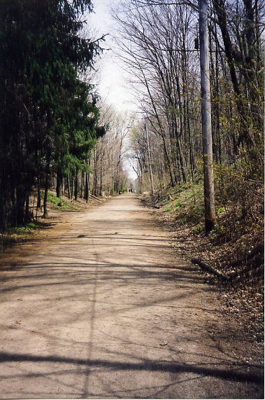
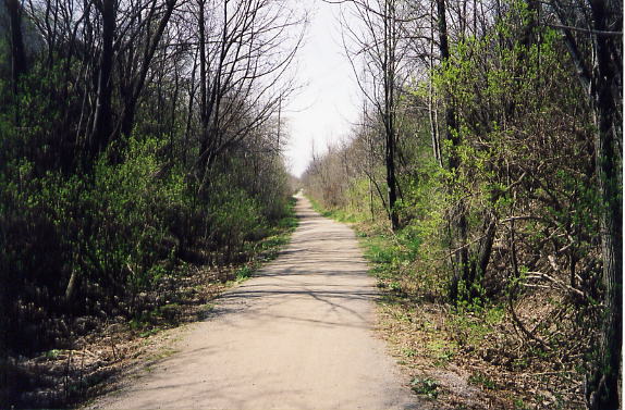
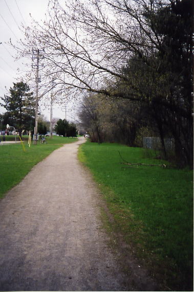
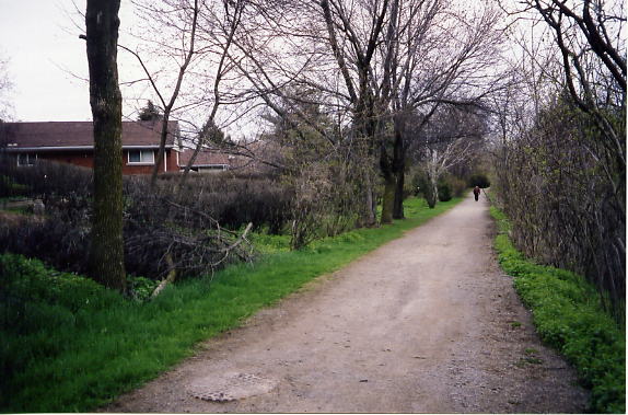
The Chedoke Radial Trail behind the houses along Hillcrest Ave.
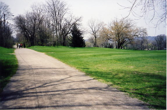
The entrance into the Chedoke Golf Course. Anyone walking this part of the trail has to watch out for the occasional stray golf ball!
The Chedoke Ski lift at the west end of the Chedoke ski hill
Site of the old Sanatorium station on the B&H
This ravine used to contain a large flight of stairs, connecting Sanatorium station with the old Hamilton Sanatorium on the top of the mountain (now the Chedoke Hospital)
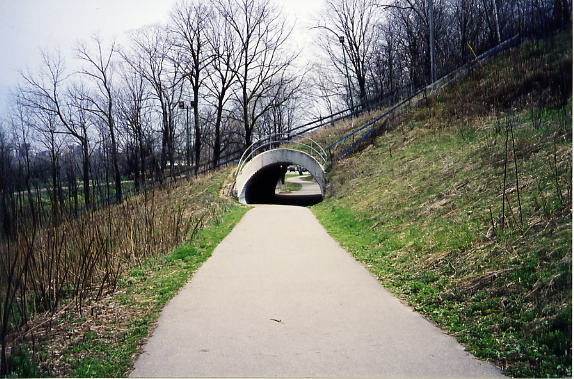
The Chedoke Radial Trail actually veers off the roadbed (seen on the left), to allow for an emergency access at the west end of the Chedoke golf course
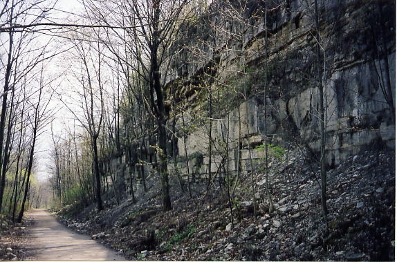
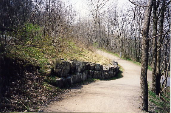
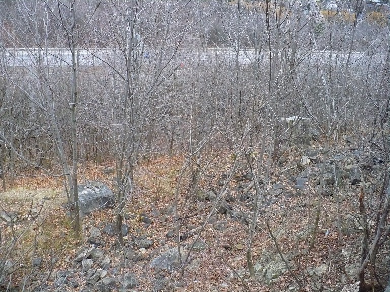
Some of the limestone cliffs that make up the Niagara Escarpment.
Below this small ridge was the Royal Hamilton Light Infantry’s old rifle range in West Hamilton. In order to protect B&H riders from stray bullets, the west end of the ridge was extended with a stone wall. Rifle Range Road in West Hamilton commemorates this old range.
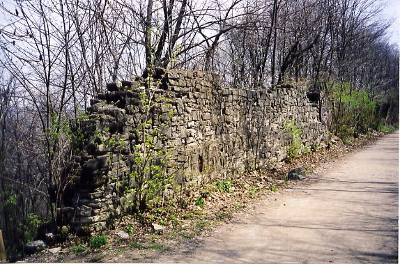
This is the stone wall extension built to protect B&H riders from stray bullets.
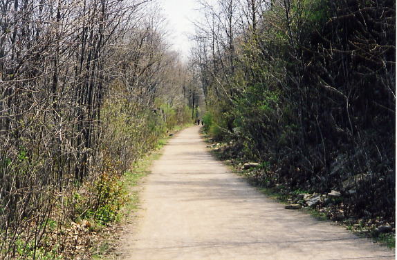
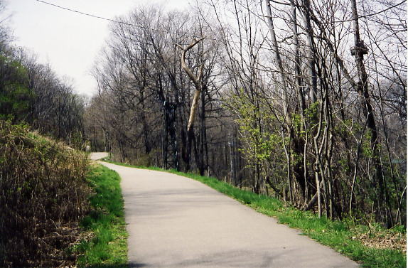
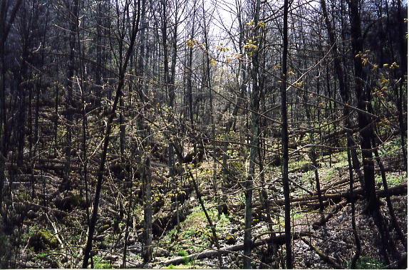
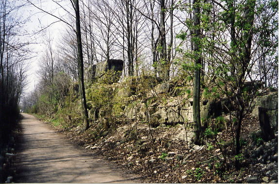
Scenes along the way
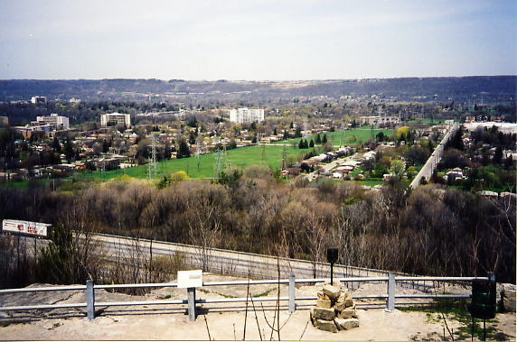
The view from the top of the escarpment near Scenic Drive.
These large square stones are all that's left of the bridge that passed over the old limestone quarry on the side of the escarpment
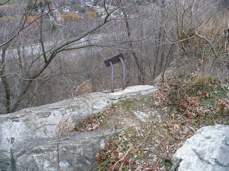
These metal rods embedded in the rock were part of the bridge supports.
This is the site of an old limestone quarry on the side of the escarpment. The trail circles the quarry, but the B&H crossed over it on a bridge
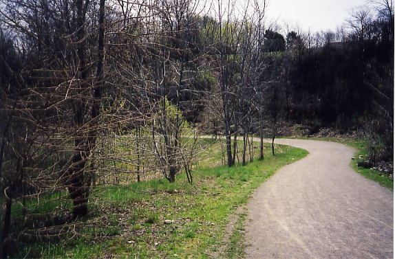
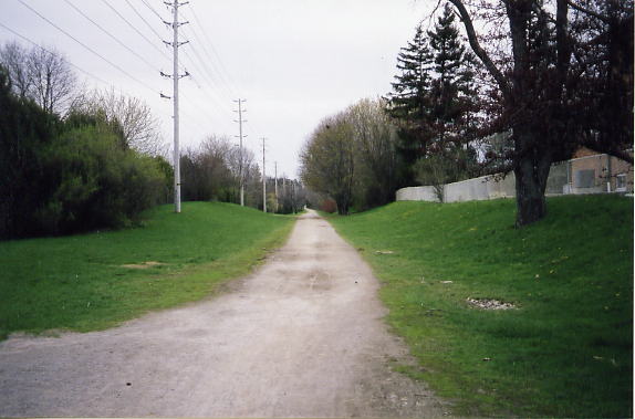
The Chedoke Radial Trail at Scenic Dr.
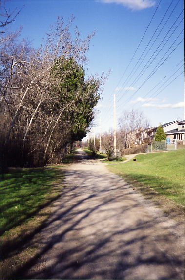
The Chedoke Radial Trail west of Scenic Dr
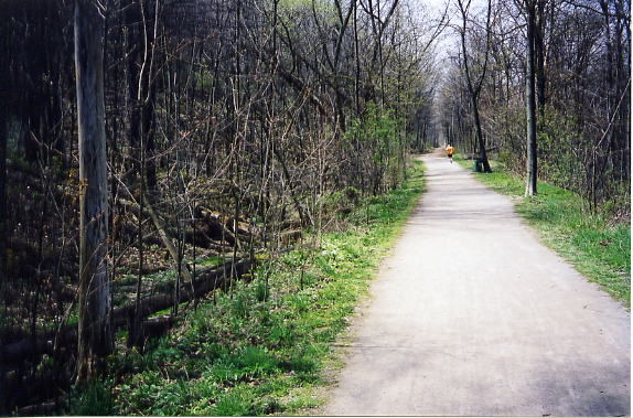
Some scenes along the way
Junction between the Iroquoia Heights trail and the Bruce trail (to the left)
The Iroquoia Heights Trail, looking north east from the Bruce Trail bridge over Hwy 403
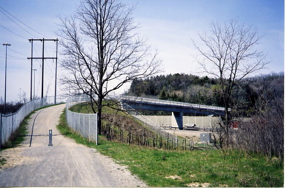
This is the pedestrian bridge over Hwy 403, constructed to connect Ancaster to the Iroquoia Heights Conservation area, and to allow the Bruce Trail to get over the highway. It’s a big improvement over the previous route for the Bruce Trail, a large sewer tunnel under the highway.
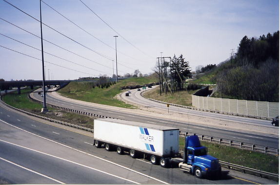
The upgrading of the Hwy 403/LINC/Rosseaux St interchange in the summer of 2002 destroyed the old right of way in this area. The photo is roughly in the direction of the old route, but there is nothing left until you reach the intersection of Mohawk Rd and Filman Rd
The intersection of Mohawk Rd and Filman Rd. The roadbed is visible on the opposite side of the intersection, where a path has been cut through to allow access to Hiawatha Blvd.
Hiawatha and Cayuga Ave, looking east. Hiawatha Blvd has been built on top of the right of way for most of its length.
Start of the Radial Line Trail at Cayuga and Hiawatha. I've been told that the when the line was abandoned, not all of the rails were removed, some were just buried. This created a problem when sewers were installed in the area in the early 1970s. Work crews excavating sewer lines quickly discovered that there was an unexpected difficulty in the digging. The rails were removed, and piled along the side of the trail. There they stayed for a few years until being hauled away.
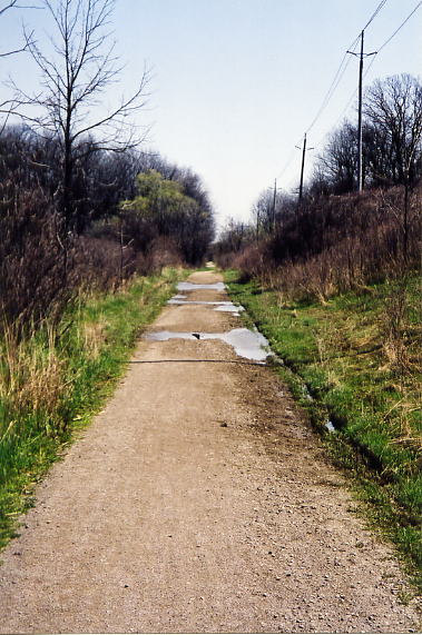
Radial Line Trail at McNiven Rd
Radial Line Trail beside Golf Links park
Radial Line Trail behind the homes on Clarendon Dr
The Radial Line Trail near Lodor St
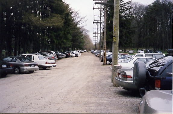
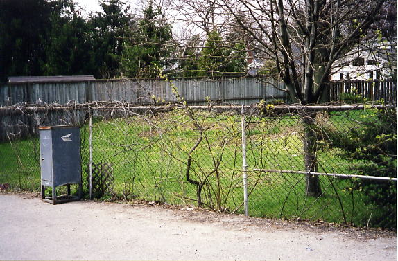
This power line clearly marks the route of the B&H though the parking lot next to the Ancaster Cemetery
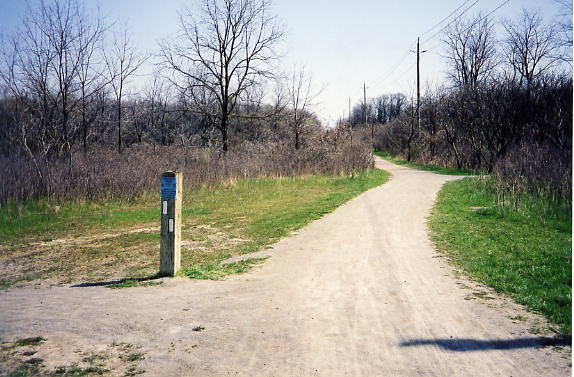
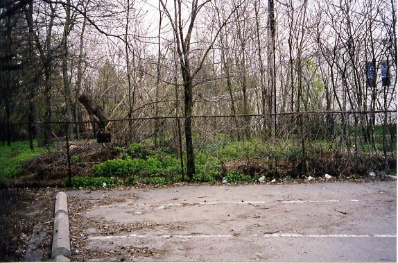
The end of the Radial Line Trail at Wilson St in Ancaster
The old right of way on the west side of Wilson near Dalley Dr
This is near Jerseyville Rd and Lover’s Lane. The power line in the middle of this photo (not the one that parallels the road) follows the old B&H, although recent housing construction along Jerseyville road has eliminated all signs of the right of way.
The old roadbed is easily visible in the backyard of this house at the corner of Fiddler’s Green and Jerseyville Road.
The roadbed is just visible as a raised mound in the brush behind St Ann’s at Wilson St and Fiddler’s Green Rd
Although the right of way was demolished when this shopping plaza was built, the power line was left in place to mark its location (looking west from the east end of the plaza)
Again, the power line marks the right of way behind the shopping plaza
Looking west from Dunham Dr, the B&H passed through what is now the parking lot of Charles H. Bray elementary school, and then continues west as a bike trail to Taylor Rd. Here the ROW disappears for a kilometre, buried by new subdivisions


