


West of Ancaster, the route of the B&H passes through fields and brush. In some places it remains as farm lanes, in other areas it's been plowed over and is no longer visible from the ground. It crosses Hwy 2 west of Hwy 403 and runs on the south side of Hwy 2 as far as Cainsville. Approaching Brantford, the line crosses back to the north side of Hwy west of Brant County Rd 18. It crosses underneath the Southern Ontario Railway and then bends southward, crossing Colborne St near Linden Ave. Glenwood Drive was built on top of the railway for the street's entire length. The right of way reappears at Brett St as a hiking trail, which meets the Mohawk Canal behind the Sonoco plant at Rawdon St & Able Ave. The railway follows the Mohawk Canal and dissapears just west of the Alfred St bridge. From here, the railway ran behind several buildings on Greenwich St, crossed the railway tracks and ran along Wharfe and Water streets to the station next to the Lorne Bridge.
This is the B&H at Shaver Rd, next to the small transformer station.
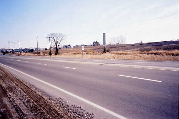
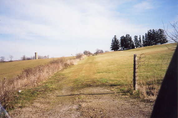
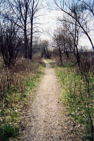
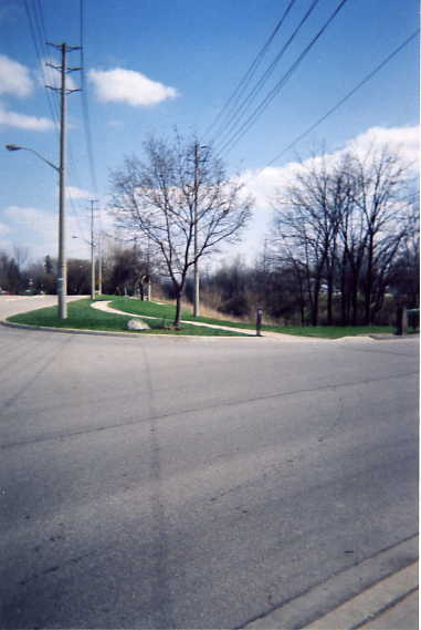
West of Trinty Rd on Hwy 2, looking south. The B&H crossed from the north to the south side of Hwy 2 right at Trinity Rd.
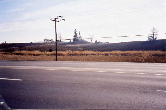
West of Trinty Rd on Hwy 2, looking south. Here the B&H is clearly visible as a high ridge
The B&H at Alberton Rd, looking east. The profile of the right of way is a bit confusing. This is either a single track with a wide ridge on either side, possibly a raised fence line, or it's a pair of tracks with a deep depression between the two. The second option is more likely, as Alberton station was on the west side of Alberton Rd, and then one of these tracks would be the Alberton station siding. The route has been completely buried on the west side of Alberton Rd, with no sign of the station.
This farm road on the west side of Ferguson Rd is the old B&H line.
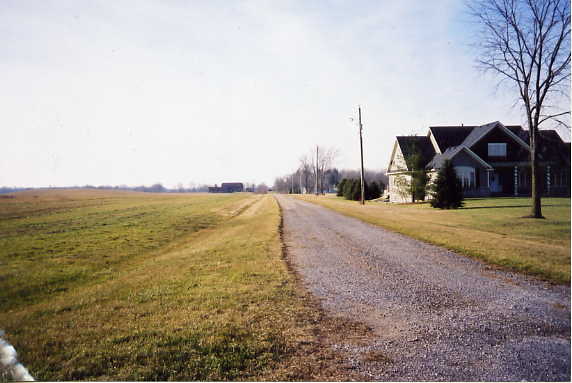
This is the B&H at White Swan Rd, looking east. The company to the right is Cravo Equipment Lmt.
The B&H at Langford Church Rd, facing west
The B&H at McBay Rd, facing east
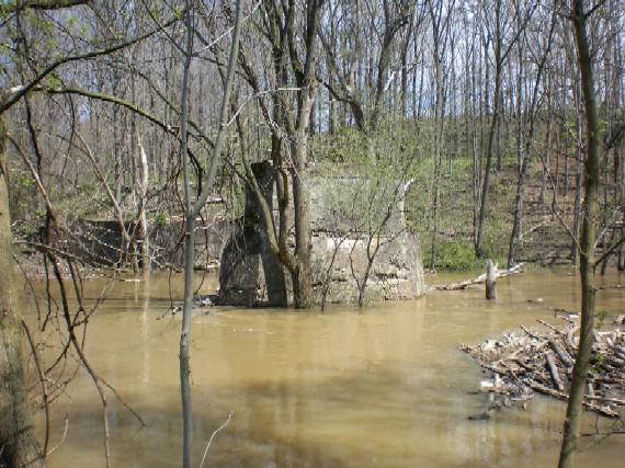
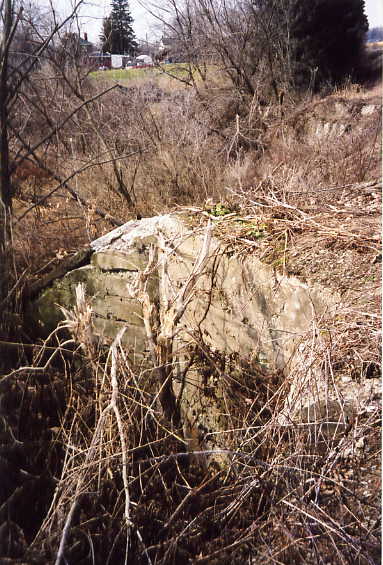
The largest bridge of the B&H was over Fairchild creek to the east of Cainsville. This is the centre peir, and behind it is the eastern bridge abutment.
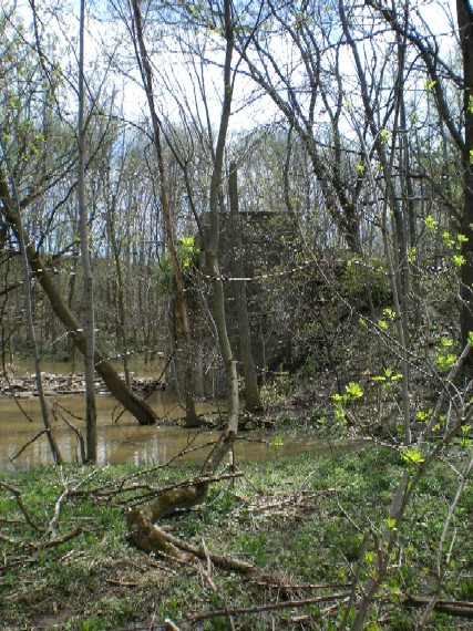
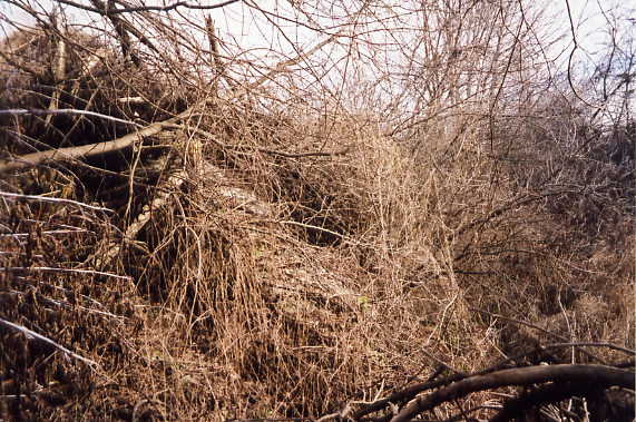
The Western abutment of the B&H bridge over Fairchild Creek.
Brant School Rd and the B&H, facing west
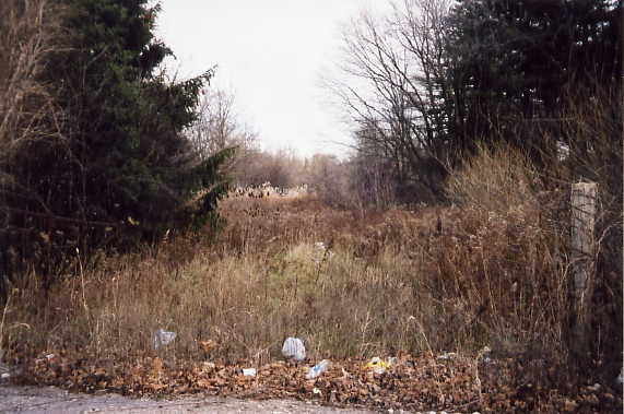
Looking down on the B&H right of way from Shaver Rd in Cainsville. Development in Cainsville has buried the B&H where it crossed Hwy 2, and the next sign of the right of way is off of Johnson Rd, north of HWy 2.
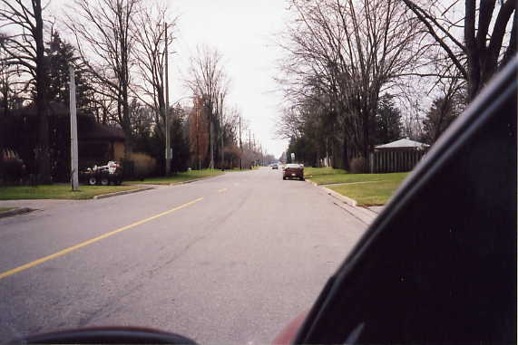
Looking west from Johnson Rd. The B&H passed on the left side of this building.
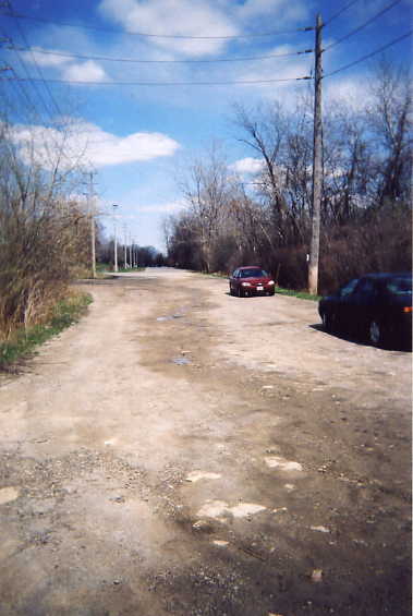
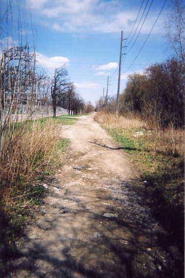
Behind the building is a large open area, which the B&H ran along the south side. Some of the hydro poles in this area look old enough to be originals. The roadbed continues west through heavy brush to the still active Southern Ontario Railway line.
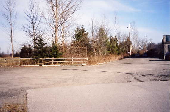
These concrete walls are the remains of what was at the time the B&H/Grand Trunk crossing, with the B&H passing underneath of the Grand Trunk's Hagersville subdivision. The Grand Trunk was taken over by the Canadian National in the 1920s, and it was they who filled in the underpass when the B&H closed down in 1931. CN sold off the line in the 1990s to the Southern Ontario Railway, who uses it today.
It's hard to see through the brush, but this is a side view of the B&H passing under the GT (later CN, later still SOR) Hagersville Sub.
The B&H crossed Garden Ave where Grey St is now. West of Garden Ave the land has been built over, but the line is still visible on the east side. The ridge in the background is the SOR. The B&H passed where Orchard Park is now, but the landscaping down when the park was built has eliminated all signs, possibly save one. I believe that the fence that separates Orchard Park from the Dairy Queen on Colborne St E is either on, or parallel to the B&H.
The B&H crossed Colborne St, and ran along what is now Glenwood Dr for the entire length of the road. This is Glenwood Dr at Colborne St, looking east.
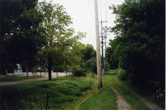
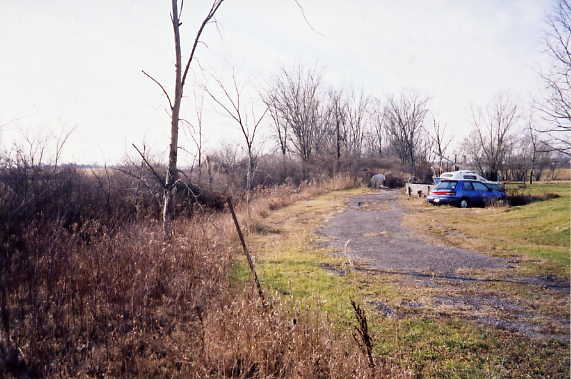
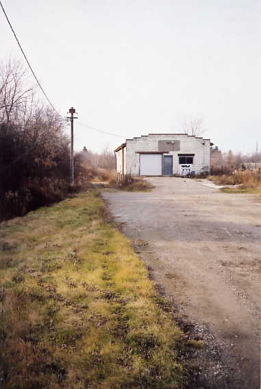
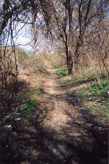
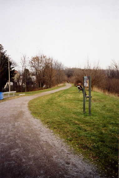
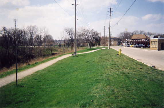
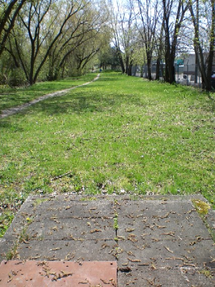
The western end of Glenwood Dr, looking east. West of the intersection of Glenwood Dr & Brett St, the B&H right of way continues as an access road for the transformer station, and then as a hiking trail. This is the eastern end of the B&H tracks that were taken over by the Lake Erie & Northern after the B&H shut down in 1931. The tracks to the west of this area were in use until the 1970s.
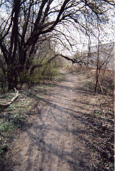
The B&H just west of the Transformer station.
The B&H, just south of St-Jean-de-Brebeuf Elementary School.
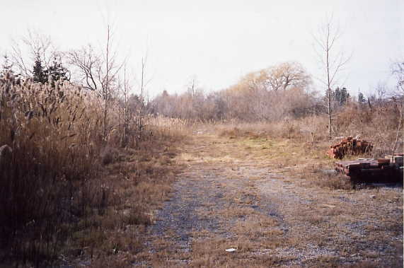
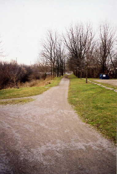
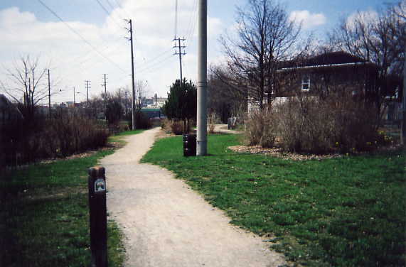
The B&H behind the Sonoco plant near the end of Park Ave E, looking west.
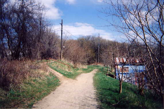
At this point the B&H (on the left) meets the Mohawk Canal, and runs alongside for over a kilometre.
The B&H, looking east at Drummond St.
The B&H, looking west at Drummond St. After crossing Murray St, the B&H closely paralleled Alfred St.
Looking east near the end of Riddolls Ave. In the background is the Murray St bridge and the former B&H electric substation
Looking northwest near the Glanville Ave corner.
Looking northwest along South St. It was in this area that the B&H built the Brantford Freight Station in 1921. The freight station was actually constructed out of flat car HTC 148 and an old HRER boxcar.
Alfred St and South St, looking southeast.
Pathway into Shallow Creek Park from Alfred St, looking North. In this area was the first B&H Brantford station, which was built due to difficulty in crossing the Tillsonburg branch of the Grant Trunk Railway in Brantford. This temporary station was only used for six months in 1908, when the second Brantford station was opened at Market St.
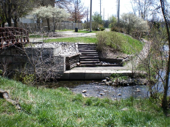
The pedestrian bridge over Shallow creek at the south end of the park. The bottom-most row of large concrete blocks are older and more worn than the upper ones, possibly indicating that they were part of the original B&H bridge. Also, the wood ties used for the stairs may be from the former B&H, later LE&N, as the stairs were built around the time of the removal of the LE&N's line.
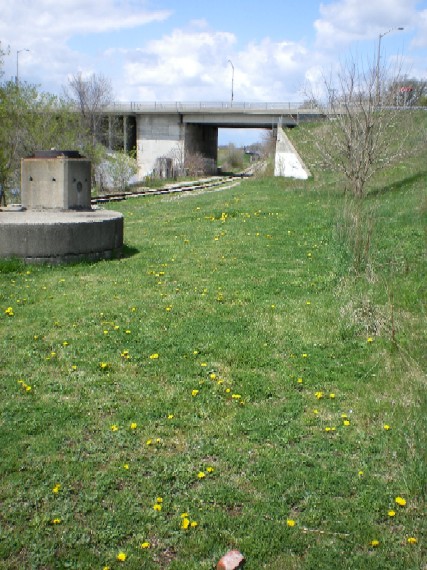
The route of the B&H behind buildings on Greenwich St. The large concrete slab at the bottom of the image is one of several along the route between Shallow Creek and the Grand River, and is most likely some form of access to the former Mohawk Canal that the B&H ran along side, and which is buried underneath this part of Brantford.
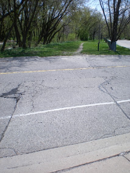
The B&H crossed Newport St, and there is still a dip in the curb on the east side for the tracks to pass, and you can see where the rails crossed the street by the cracks in the asphalt.
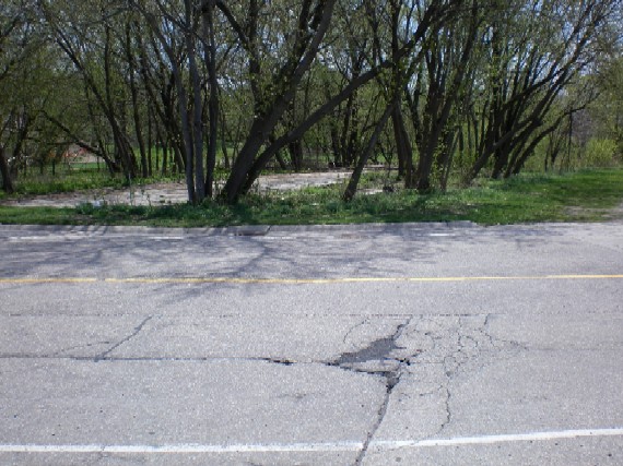
This concrete slab on the north side of the B&H at Newport St is the site of a former Hew Holland/Ford farm equipment dealership, which was serviced by the B&H.
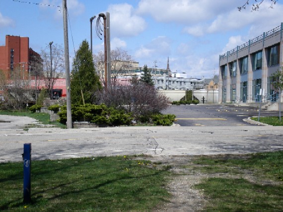
The B&H crossed over the former Grand Trunk's (now part of Canadian National) Tillsonburg line just west of Newport St. However, there has been massive redevelopment in this area since the 1970s. The Crossing between the B&H and the CNR occurred roughly where the CN Locomotive is in this photo, however the CN line was shifted slighlty westwards as part of the redevelopment, so the actual location was likely where that large cedar tree is now.
The final terminus of the B&H was the joint B&H/LE&N station beside the Lorne Bridge next to the Grand River. In the centre of the photo in the grass is the slight ridge formed by the B&H roadbed, curving to the right. (the large concrete structure on the left is another of the possible access points for the buried Mohawk Canal)


