


In its later years, much of the Hamilton Radial Electric Railway's (HRER) route in the City of Hamilton was on a private right of way, rather than on the city streets. After the end of theHRER in 1929 the HSR took over all HRER track west of Kenilworth in Hamilton. These tracks were used by the HSR's CROSSTOWN streetcar route until it was shut down in 1948. These tracks were then used for storage of streetcars as the HSR abandoned its streetcar system in the early 1950s.
In addition to running radials and streetcars, much of this route was used by Ontario Hydro as a high voltage powerline, and does so today. Becasue of this, it is fairly easy to follow the HRER in Hamilton as far as Kenilworth.
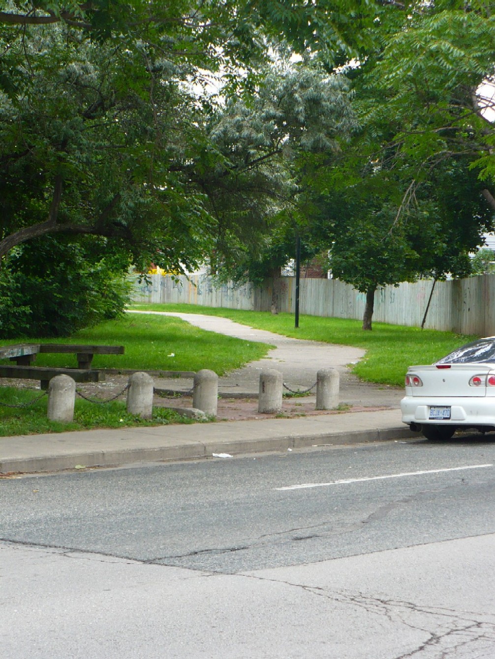
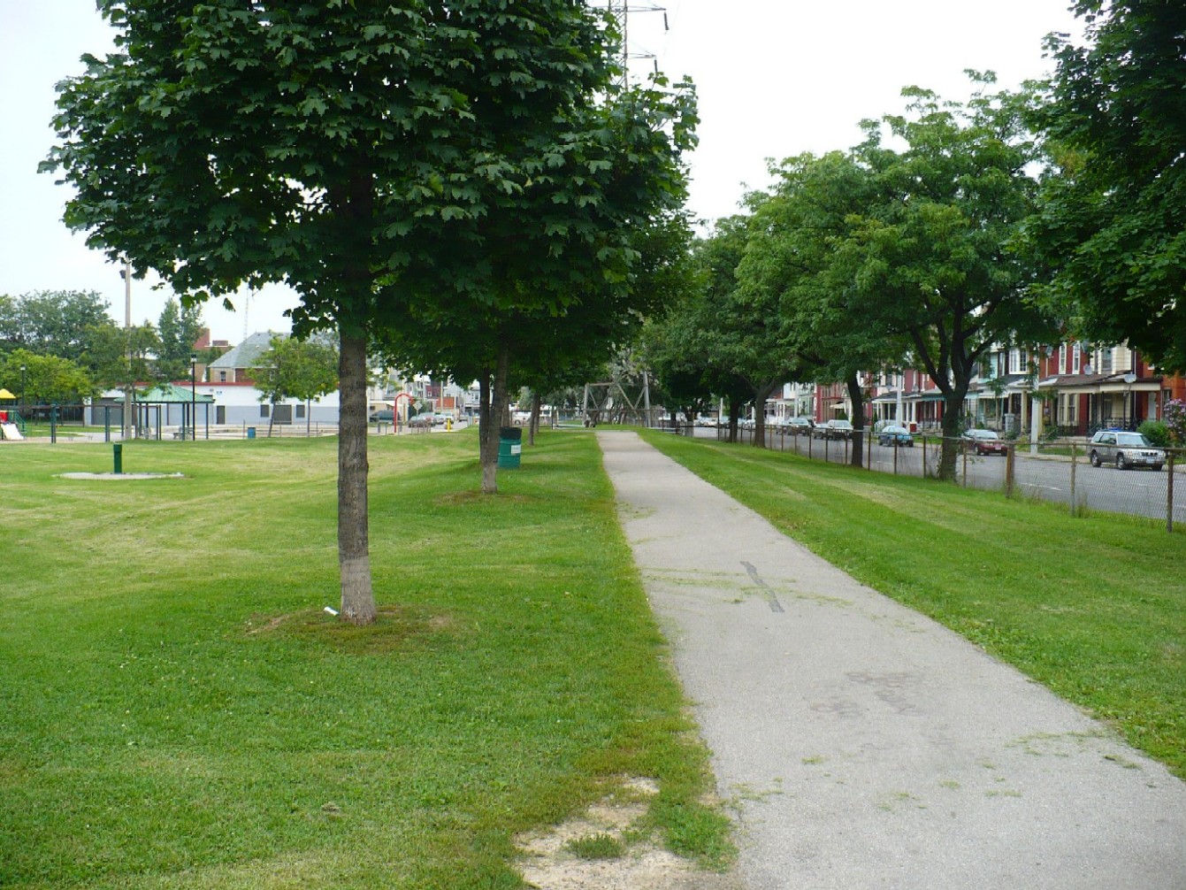
The HRER began its off-street running just east of Stirton Ave at Wilson St, turning northwards where this paved walkway is now.
Looking south along the walkway towards Wilson St.
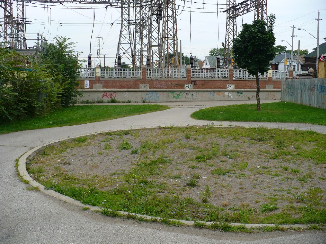
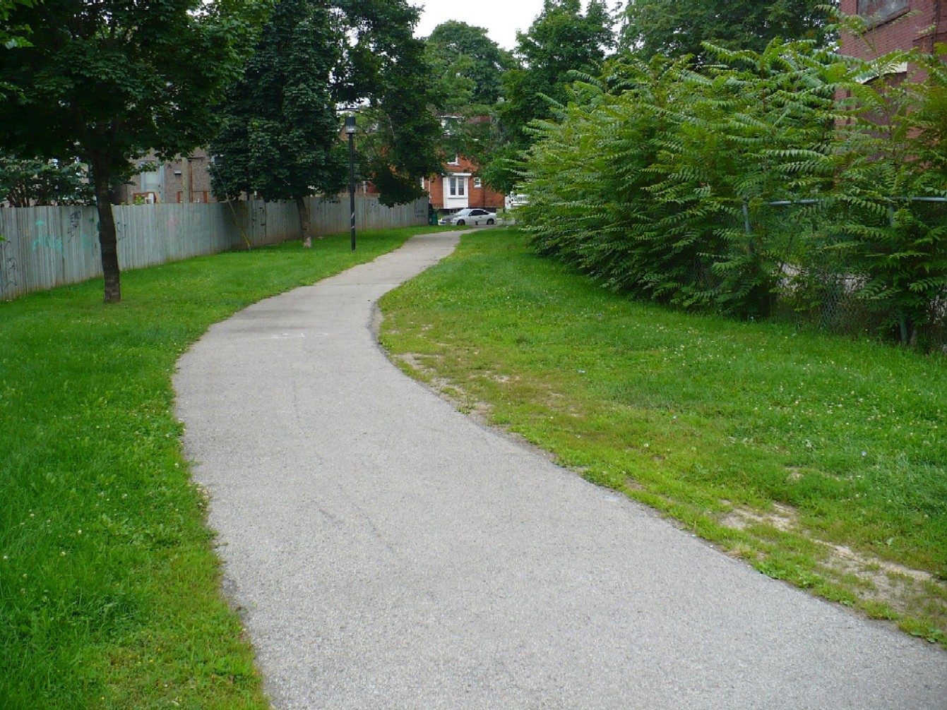
Looking north along the walkway. The electric transformer station on Cannon St was around during the radial era, and has since been expanded over the route of the HRER.
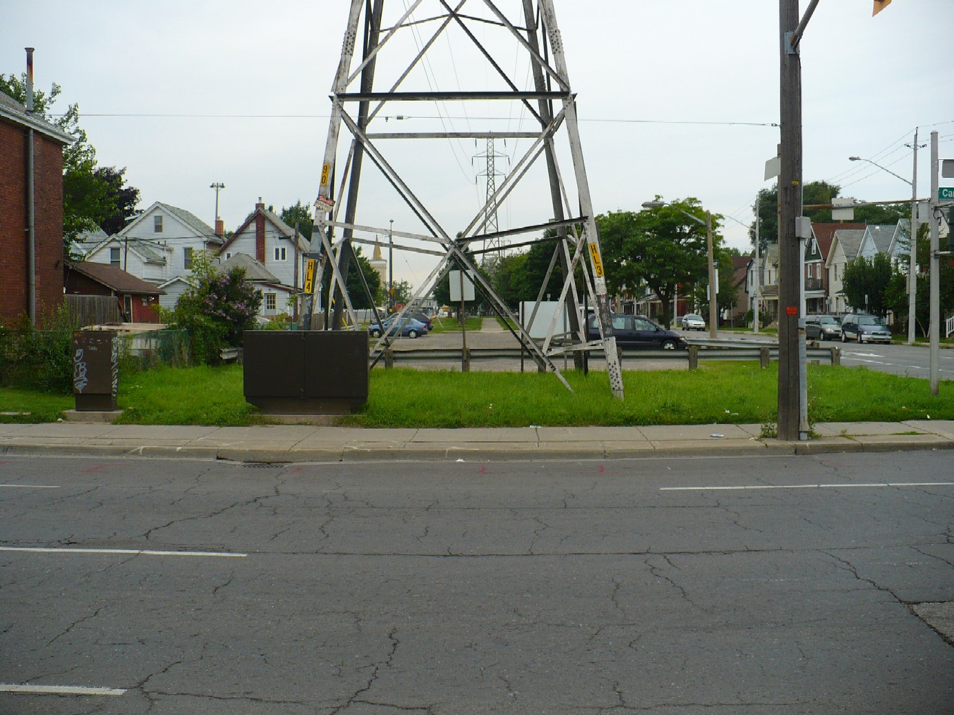
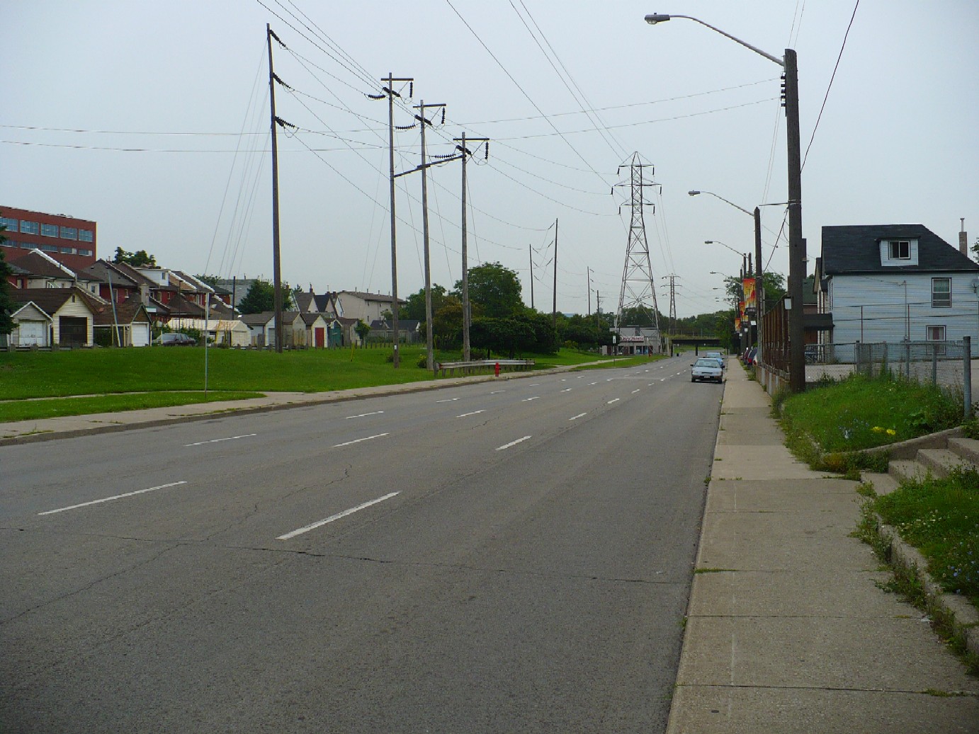
Northwest corner of Birch & Cannon. The HRER ran to the right of the hydro tower. However, the City of Hamilton has added a lane to Birch St, removing the east side of the double-tracked right of way.
Looking North from Harvey St, just west of Birch. The paved path runs along the top of the old roadbed.
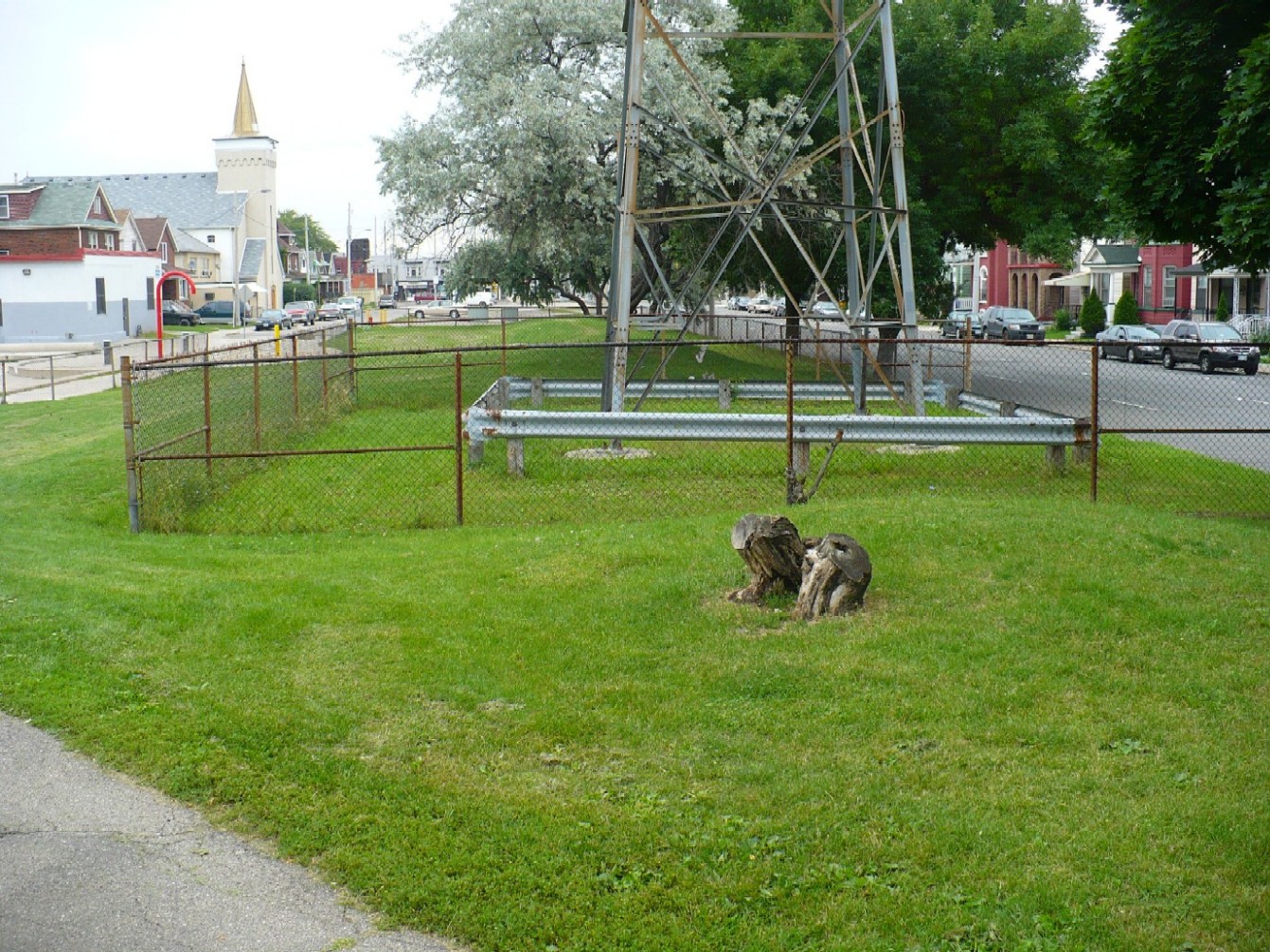
The HRER between Harvey & Huron St. This hydro tower was built on the site of the HRER right of way, you can see how the ground has been levelled around it, with the raised roadbed in front of and behind it.
These parking lots next to Birch between Huron and Barton are on top of the HRER.
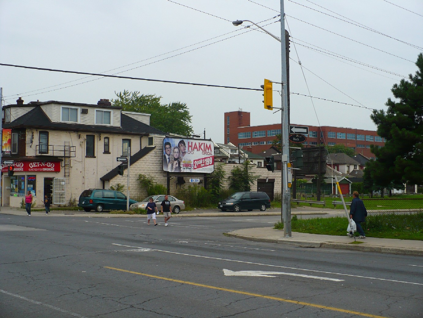
Northwest corner of Barton & Birch. The HRER ran where the cars are parked next to the convenience store. The turning lane from Birch to Barton has been buit over the east side of the HRER right of way.
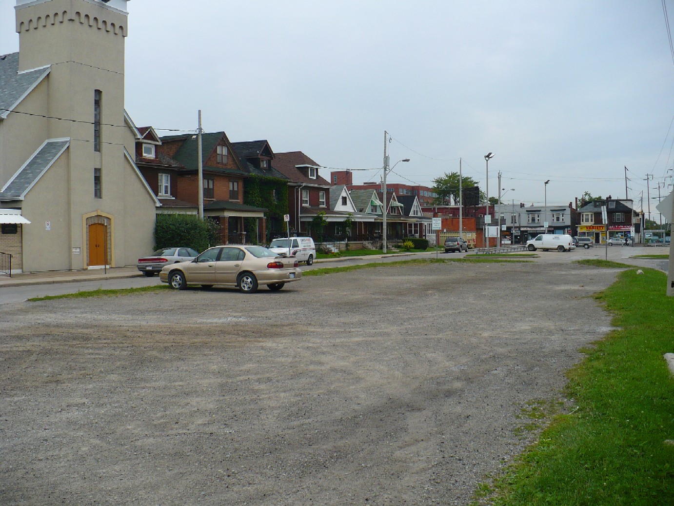
There is no sign of the HRER between Barton & Princess, but it was located where the sidewalk and turning lane are in this photo.
The HRER curved slightly to the west at Princess St, passing to the west of this small store building.
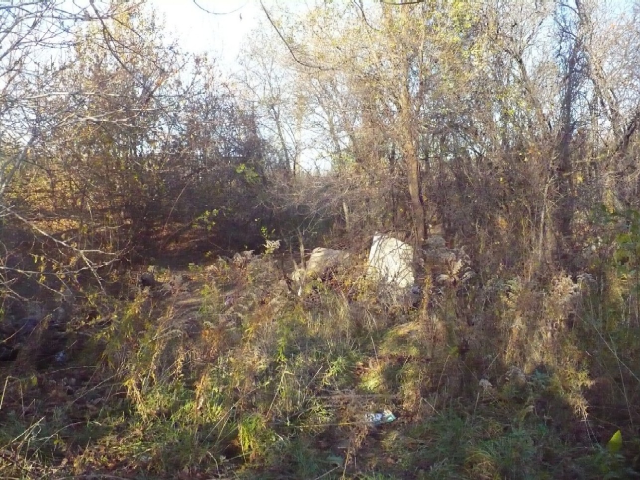
This apparent cut in the embankment to the northwest of the store at Birch & Princess is the gap that the HRER passed through underneath a now removed TH&B spur line that service industries North of Barton. Local kids have taken this space and built ramps for bike jumps.
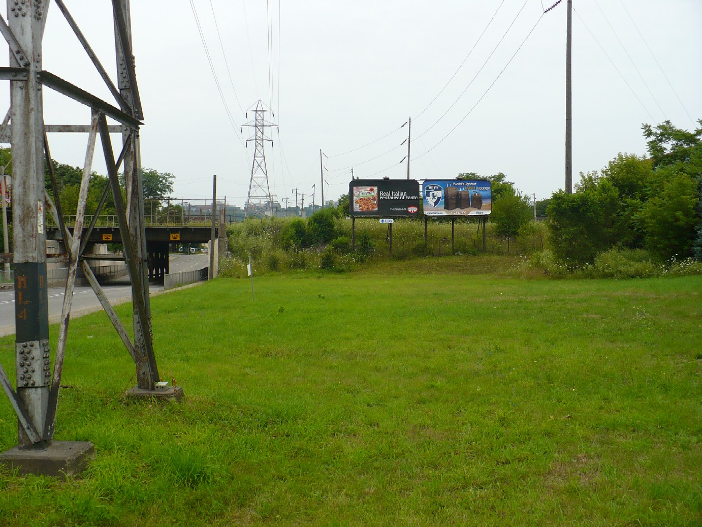
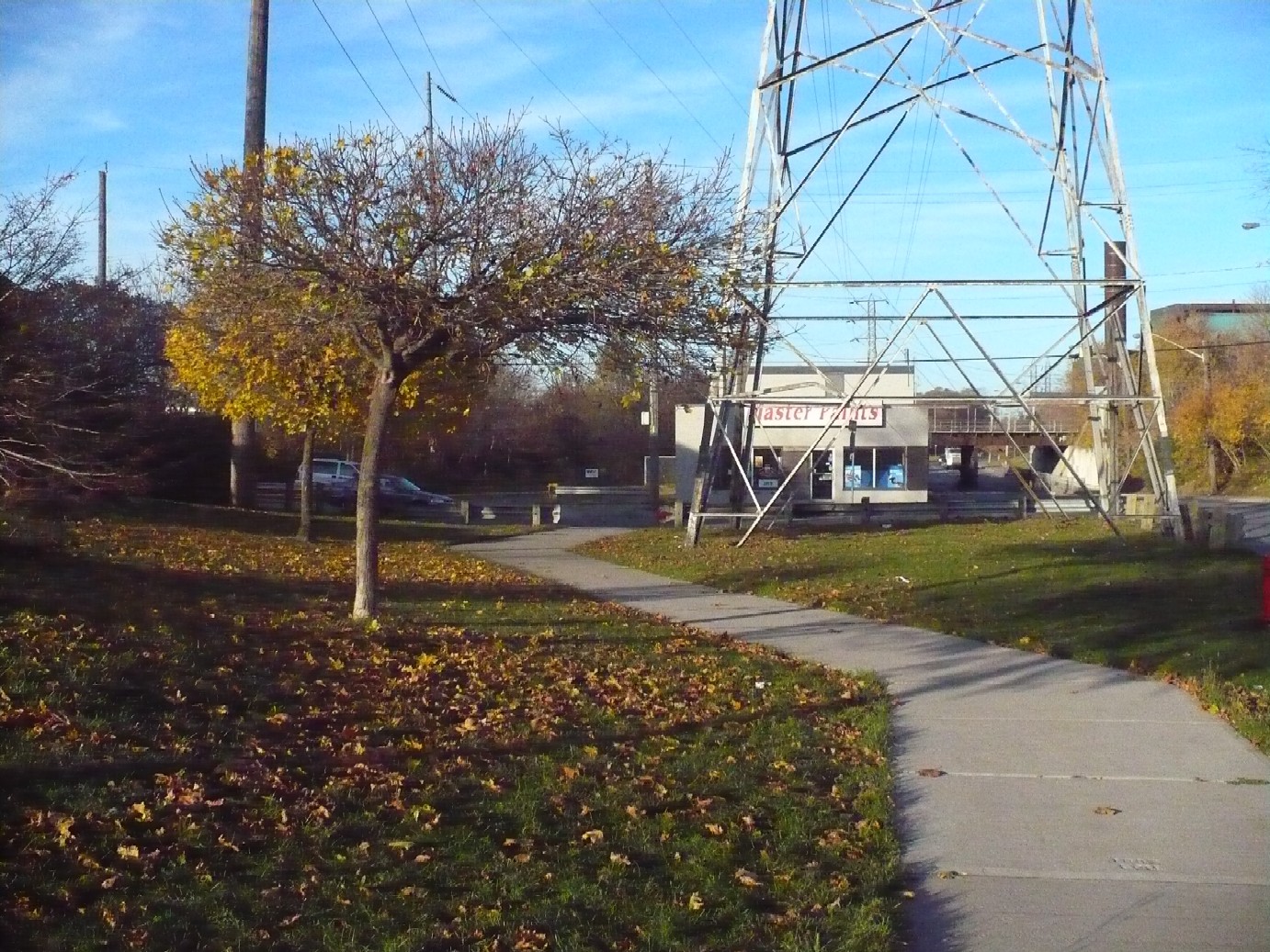
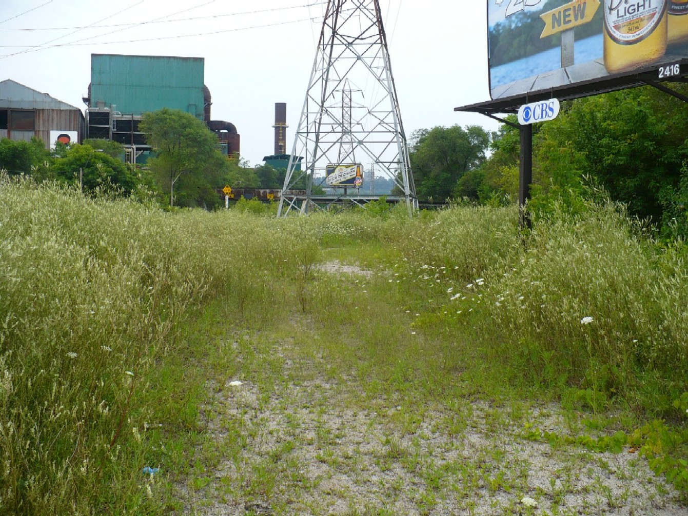
The North side of the CN main line looking South. The HRER passed underneath the CN Main line where the billboards are located. There is no sign of the old bridge over the HRER, so it has either been completely buried or was removed entirely.
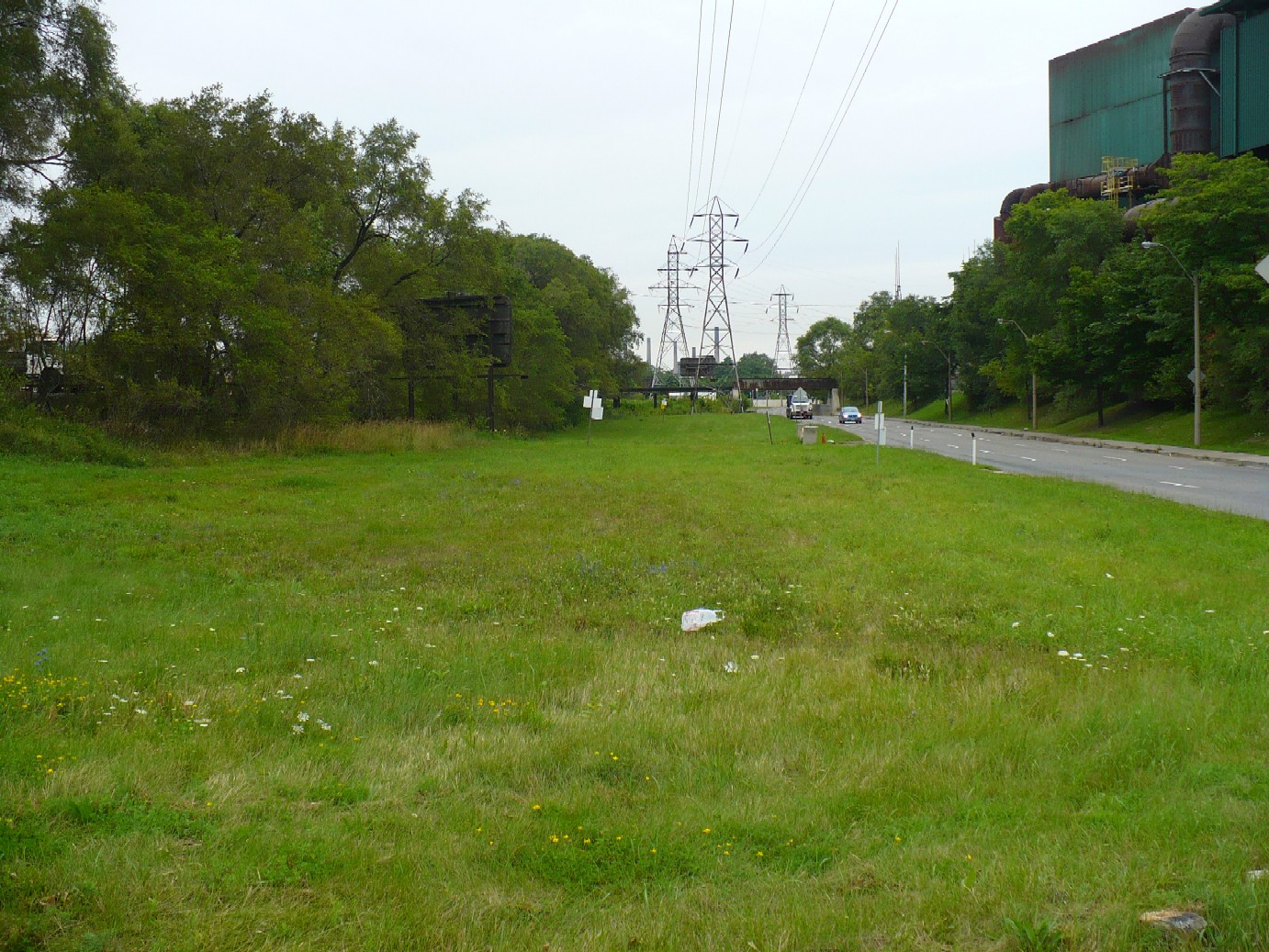
The North side of CN main line, looking North. The HRER ran along the west side of this grassy field, and passed undernath the old TH&B (now CPR) bridge in the background.
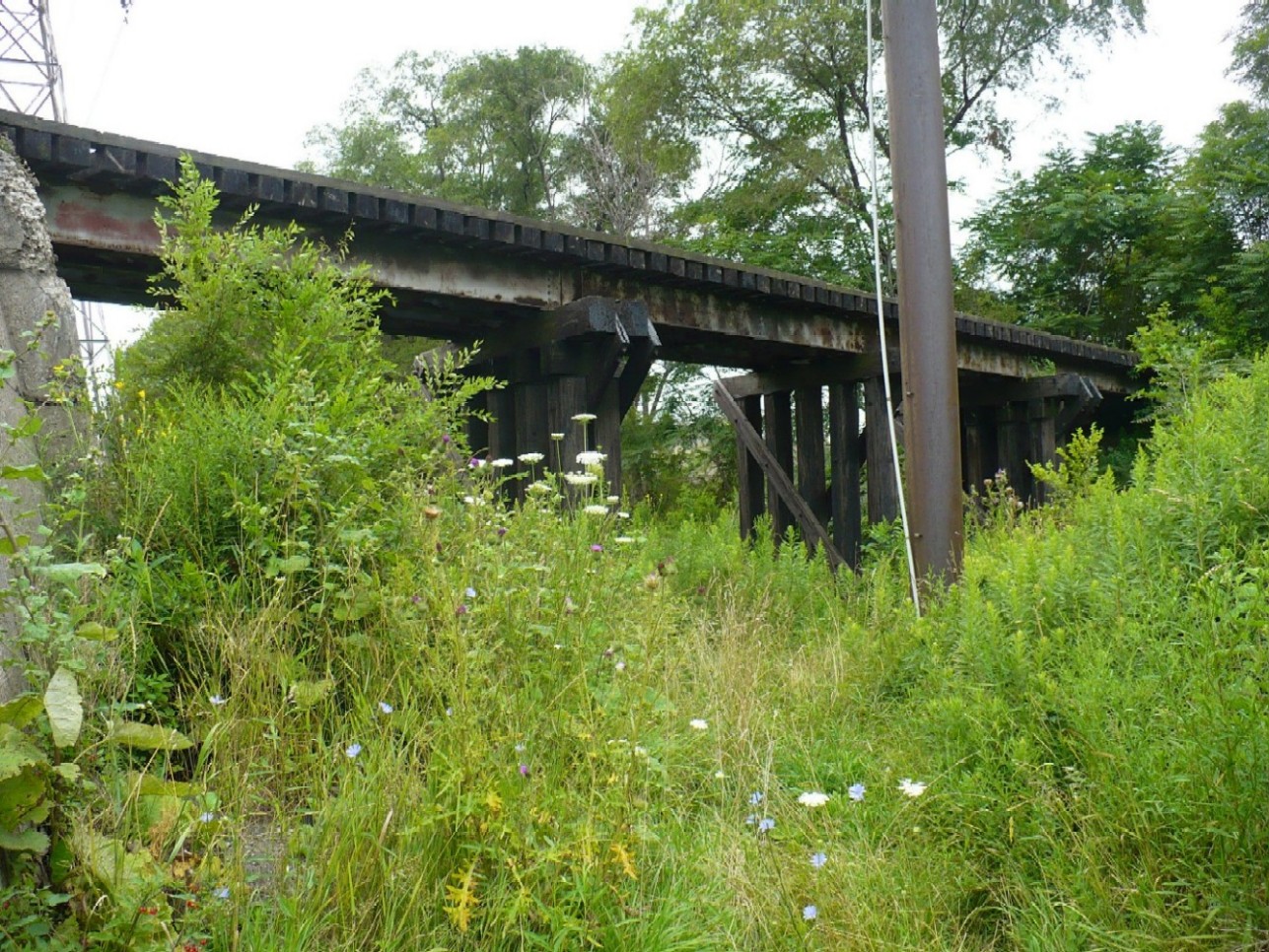
The North side of the CPR spur line bridge.
Brant St, looking south. This gravel access is the old HRER right of way
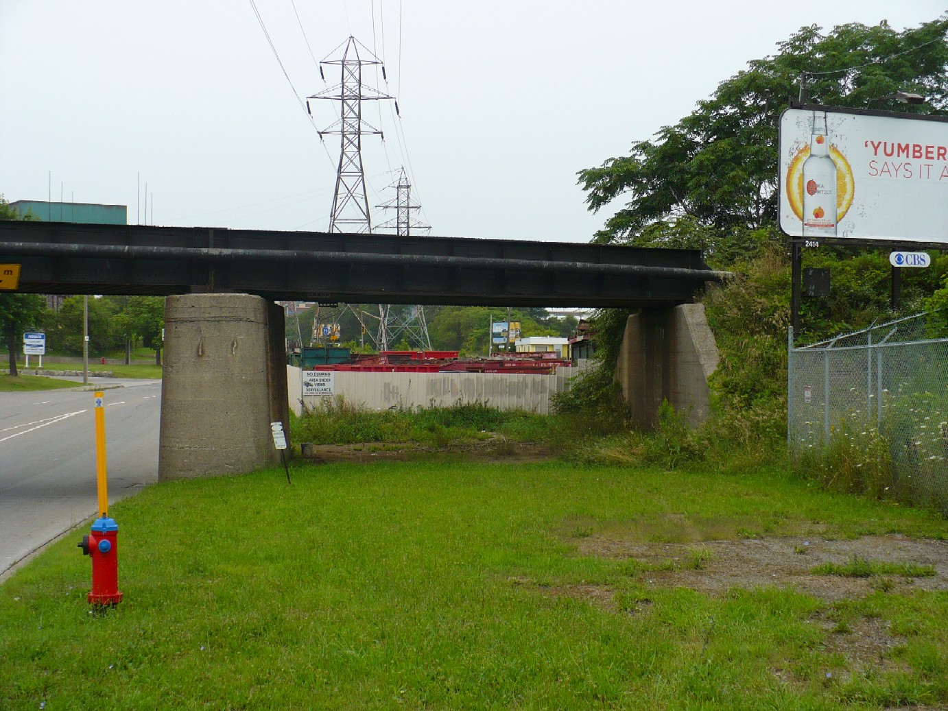
This opening underneath the CN Spur line bridge just south of Burlington was for the HRER tracks. North of this point the HRER turned eastwards and followed Burlington St for several hundred metres before swinging away and parralleling the CN spur line east of Birmingham St. All traces of the HRER along Burlington have been removed.
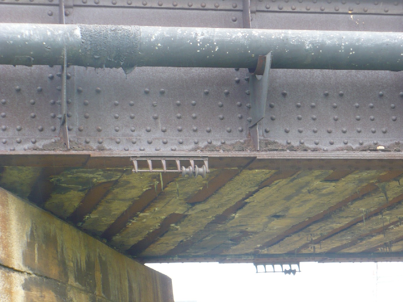
These odd looking metal brackets on the underside of the the CN spur line bridge are supports for the overhead wire for the northbound tracks on the HRER.
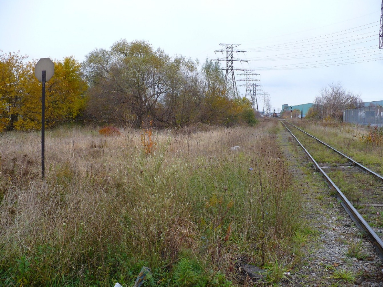
Looking East from Birmingham. It is here that the HRER becomes visible again, on the north side of this grassy field on the north side of the CN Spur line.
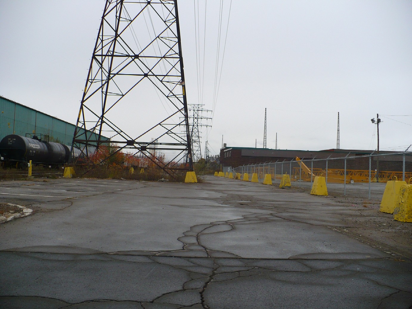
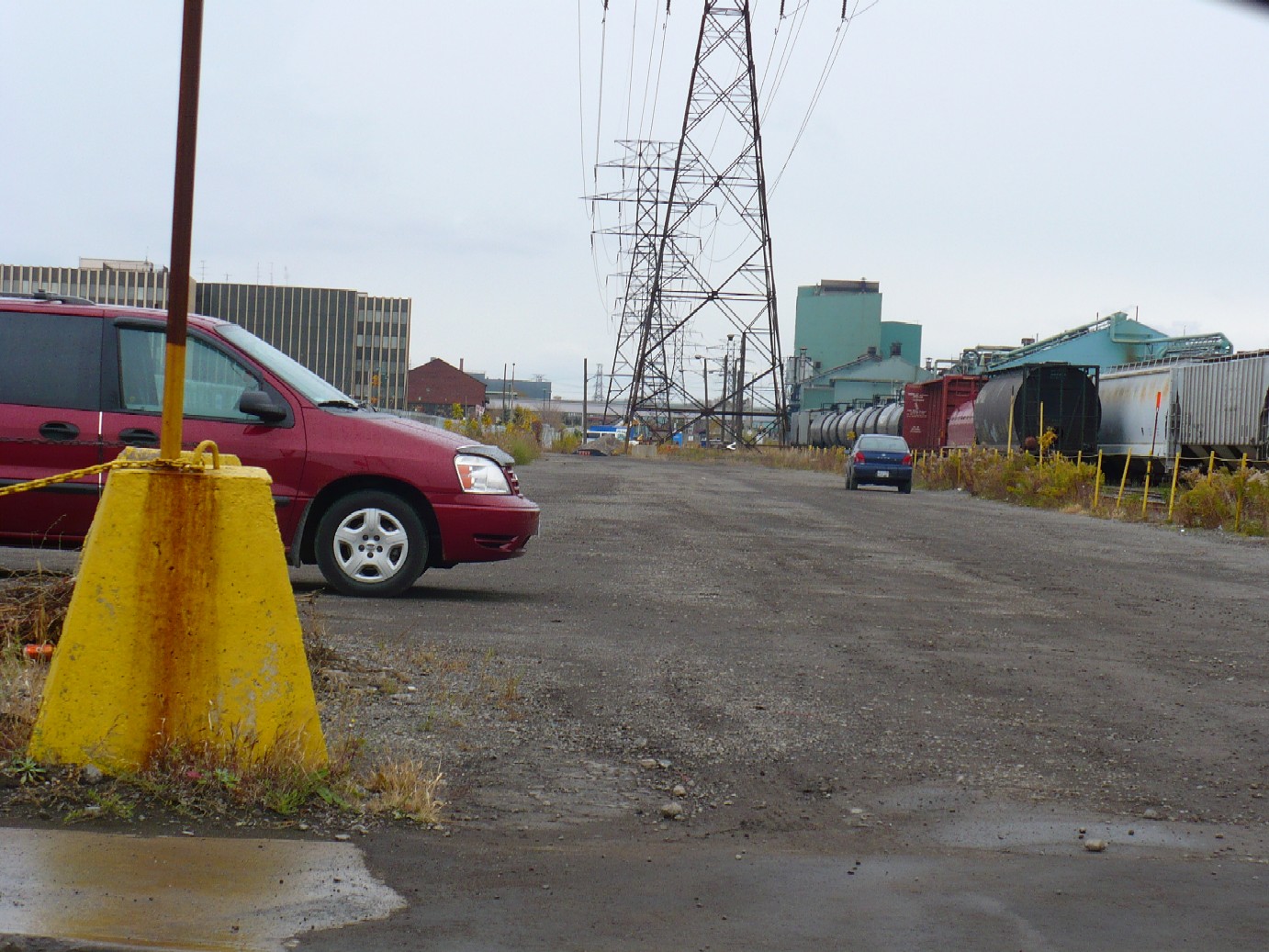
Looking West from Depew St. By Depew St the HRER was immediately north of the CN tracks, where these large hydro towers are today.
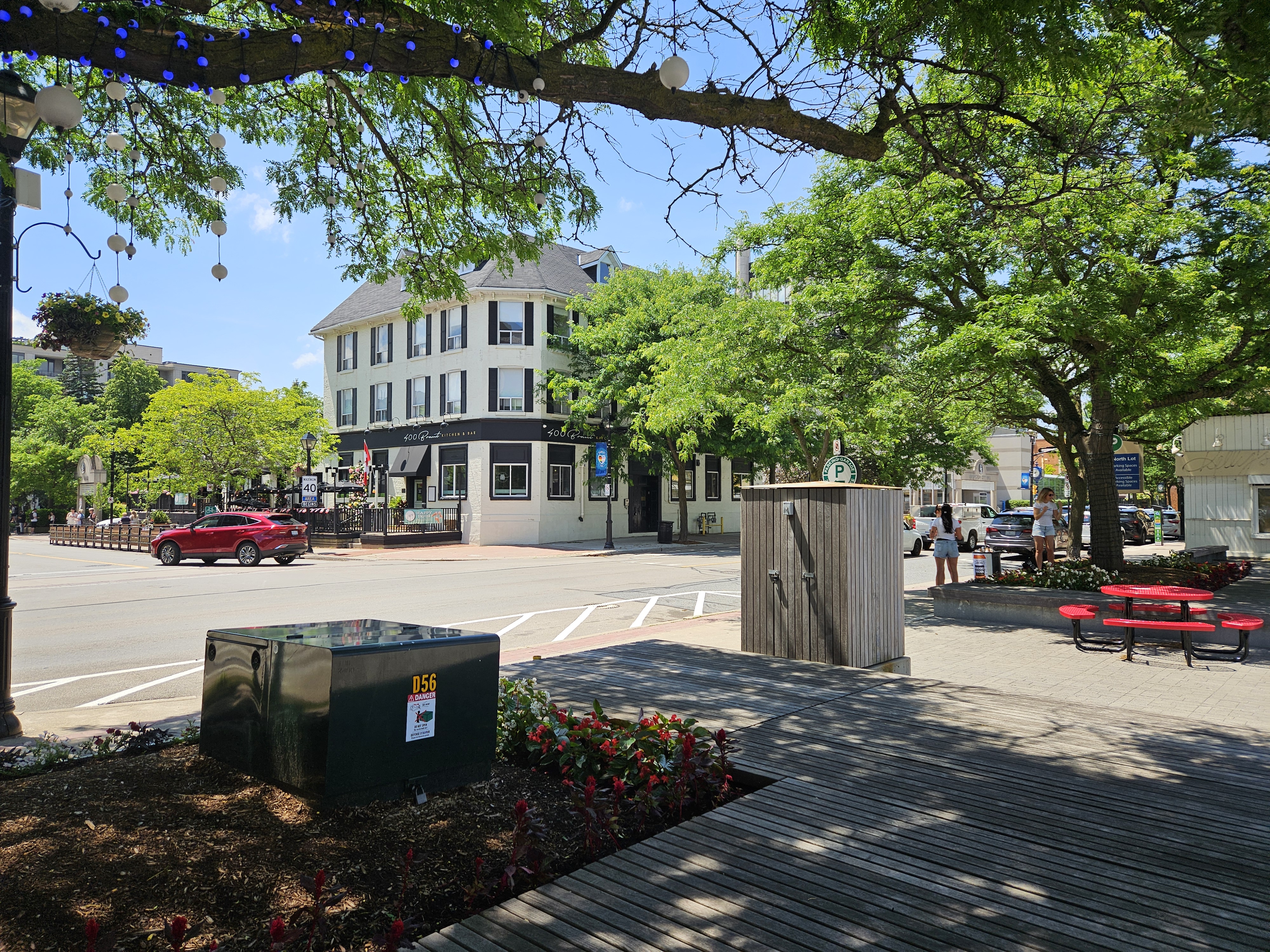
In downtown Burlington the HRER ran along Elgin, John, and James. This is Elgin and Brant. The old Queen's hotel in the background once had radial cars pass by
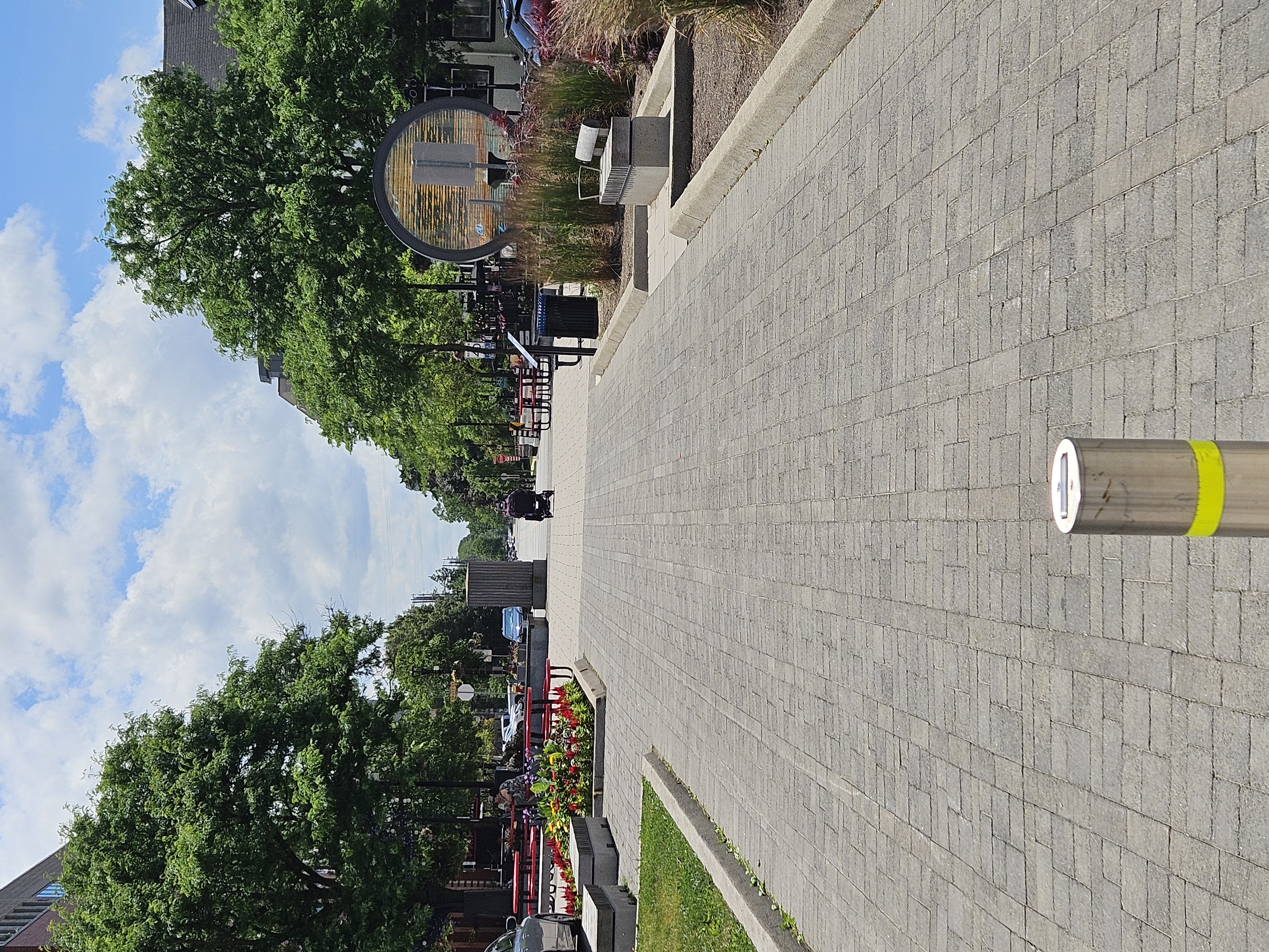
This pedestrian pathway looking west along Elgin is on top of the old HRER right of way.
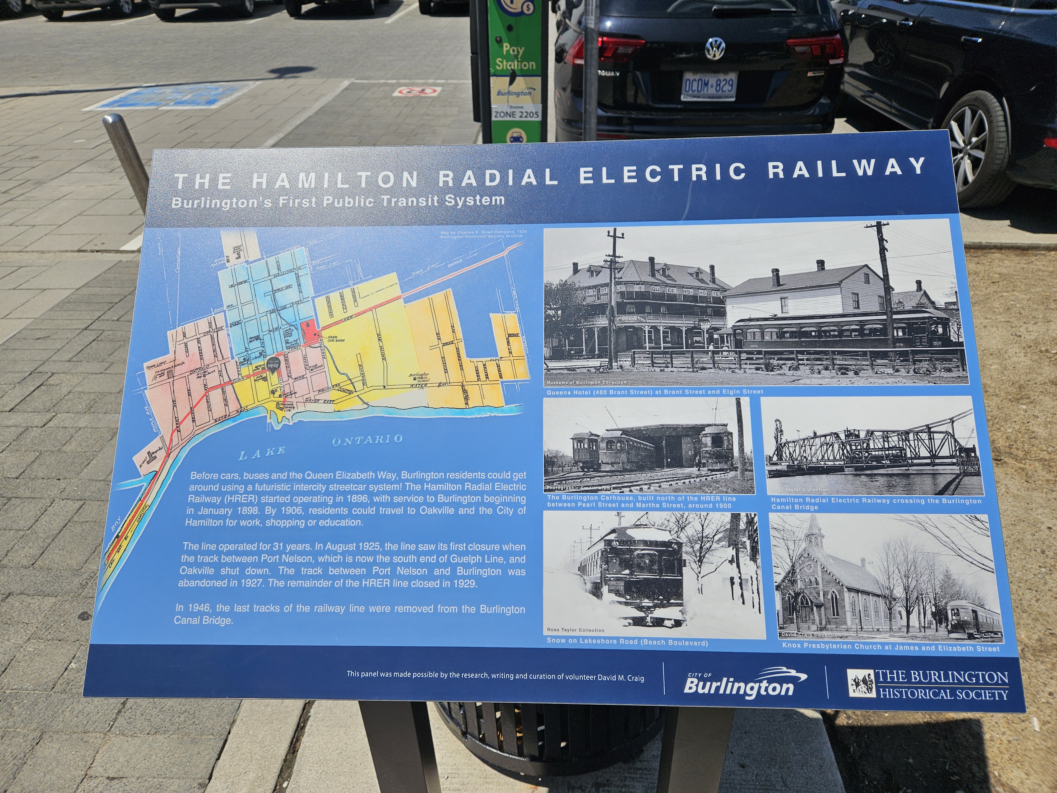
A historical plaque on the HRER has been placed in the pedestrian space at Brant & Elgin.
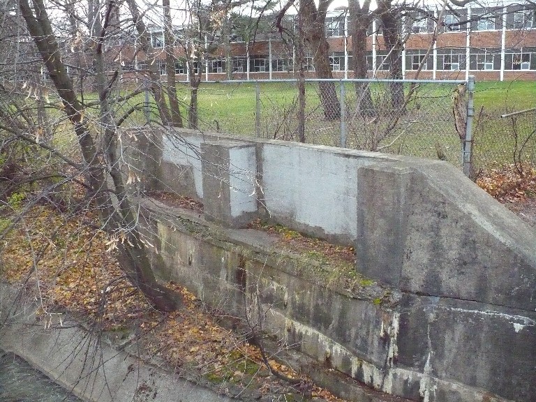
The remains of the HRER bridge over 14 Mile Creek along Rebecca Dr in Oakville, looking west. The old HRER roadbed is barely visible in the lawn of Thomas A Blakelock High School next door
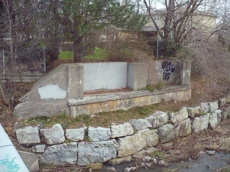
The remains of the HRER bridge over 14 Mile Creek along Rebecca Dr in Oakville, looking east.
The only remaining intact station of any of the Hamilton Radials is the former HRER station in Oakville. The full details are on this page


