TrainWeb.org Facebook Page
B&O Photo Tour


B&O Camden Cutoff
Modern day photo tour

Accompanying each photo below are:

Click a photo to see a larger view. Please send your comments and corrections to Steve.


<< Previous (west) | THIS PAGE: Bailey's Wye to Camden Station | End of tour || main index

CSX MH 201701
NEW! mid-Sep 2021

CSX MH 201701
Mile: 0.6 Date: Jan 2021
Ease: A View: W
Area: B IC2:
Map: Ba 43 A 2 Topographic Maps

With a monstrous claw to defend himself, this guy resting along the northeast leg of Bailey's wye doesn't have to worry much about being captured and made into a crab cake. Apparently, MH means this is a tie handler. It can ride on top of railcars, then reach down to track level to pick up loose crossties.

Link: 1998


Dwarf Signal
NEW! mid-Sep 2021

Dwarf Signal
Mile: 0.6 Date: Jan 2021
Ease: A- View: NW
Area: B IC2:
Map: Ba 43 A 2 Topographic Maps

Special dwarf versions of signals dot the landscape where MARC (Maryland Area Regional Commuter) Camden Line trains might venture.


Bailey's Wye

Bailey's Wye
Mile: 0.5 Date: Mar 2001
Ease: B View: S
Area: B+ IC2: 141
Map: Ba 43 A 2 Topographic Maps

In this view from the north back to the location of the prior photo we find CSX 8777 bending around the northwest side of Bailey's wye and bound for the Howard Street Tunnel, which is adjacent to Camden Station.

Bailey's was the location of one of B&O's busiest roundhouses. By 1875, the rapidly expanding railroad had outgrown not only the repair facilities at Mt. Clare, but also those associated with Camden Station. The centrally located Bailey's was therefore selected for the shops known as Bailey's Roundhouse. For about the next 75 years, countless trains would pass by or be serviced here.

Links: 1977, Camden Yards


Aerial 1948
NEW! mid-Sep 2021

Aerial 1948
Mile: 0.6 Date: 1948
Ease: View: N (right)
Area: IC2:
Map: Ba 43 A 2 Topographic Maps

All 1948 aerials predate the stadiums, interstates, and light rail. Bailey's Roundhouse is at left. Camden Station at right is one of only a handful of B&O structures visible here that survived into the 21st century. Note that north is to the right.


W X

W X
Mile: 0.5 Date: Sep 2018
Ease: B View: SE
Area: B IC2:
Map: Ba 43 A 2 Topographic Maps

Trains departing Camden Station see W and X signs. The W is carried from long ago when locomotives had steam whistles; now the W advises the operator to sound the horn for an upcoming grade crossing (Warner Street). The X means multiple grade crossings are in the vicinity.


CSX 8419
NEW! mid-Sep 2021

CSX 8419
Mile: 0.6 Date: Mar 2001
Ease: B View: E
Area: B IC2:
Map: Ba 43 A 2 Topographic Maps

CEFX 3138 As seen from adjacent Ravens stadium, and dating from the era of digital cameras with shutter lag, my guess-the-location-the-train-will-be-when-the-photo-happens was off a bit. This train is headed for the Howard Street Tunnel. Trains to Camden Station would follow either of the two closer tracks. These are the earliest-known photos of CEFX 3138, a rebuilt Southern Pacific engine leased by CSX.

The whitewashed ties in the photo at left remind track workers there's something significant underneath, in this case a piped culvert.


From I-395
NEW! mid-Sep 2021

From I-395
Mile: 0.6 Date: Jul 2018
Ease: A View: W
Area: B IC2:
Map: Ba 43 A 2 Topographic Maps

The view from I-395 is obstructed, but sometimes you can see MARC or light rail trains, or even both as in this photo.


Bricks and Football
NEW! mid-Sep 2021

Bricks and Football
Mile: 0.6 Date: 1973 (2021)
Ease: View: W
Area: IC2:
Map: Ba 43 A 2 Topographic Maps

Bricks, pianos, and those Sweetheart brand straws you used to blow the paper wrapper off of, were all made here, but nevermore now that the Ravens have had their say.


Light Rail

Light Rail
Mile: 0.5 Date: Mar 2001
Ease: B View: S
Area: B+ IC2:
Map: Ba 43 A 2 Topographic Maps

The Baltimore light rail system briefly cozies up to CSX. Here, a southbound light rail train moves away from the camera, departing for a scenic ride over the Middle Branch of the Patapsco River.

Change for: Light rail tour at this site


PSINet Stadium

PSINet Stadium
Mile: 0.5 Date: Mar 2001
Ease: B View: S
Area: B+ IC2:
Map: Ba 43 A 2 Topographic Maps

CSX 746 powers a coal drag past PSINet Stadium, still decorated to celebrate the Superbowl Championship of the Ravens less than two months prior. As of this writing, M&T Bank has stadium naming rights.


Looking North

Looking North
Mile: 0.5 Date: Mar 2001
Ease: B View: N
Area: B+ IC2: 294, 215, 217
Map: Ba 43 A 2 Topographic Maps

Same spot as the prior photo, just looking the opposite direction. By now, CSX 746 is deep in the Howard Street Tunnel while the final coal car follows along.

The Hamburg Street highway bridge in the foreground obscures Oriole Park in the distant left. The clock tower just right of the stadium is Baltimore's famous Bromo-Seltzer tower. Impossible Challenge II page 214 has a great photo looking back to this spot in 1912. Wow, has this area changed!

Link: ~1970


From Hamburg Street
NEW! mid-Sep 2021

From Hamburg Street
Mile: 0.5 Date: Oct 2016
Ease: B+ View: NE
Area: B IC2:
Map: Ba 43 A 2 Topographic Maps

That's the tunnel's chamber door, umm, south portal at distant right center, but this tour is following the tracks to the left. B&O's HB Tower had been situated here, per the linked photos from the 1970s.

Links: HB Tower 1974, HB Tower 1979


Camden 1971
Photo courtesy Library of Congress
NEW! mid-Sep 2021

Camden 1971
Mile: 0.6 Date: ~1971
Ease: View: NE
Area: IC2:
Map: Ba 43 A 1 Topographic Maps

HB Tower stood just off the bottom edge of this photo.

Within the next 20 or so years, this scene would change to that below.

Link: LoC source photo


Camden Reimagined
Photo credit HH Harwood
NEW! mid-Sep 2021

Camden Reimagined
Mile: 0.4 Date: Apr 1993
Ease: A View: NE
Area: B IC2:
Map: Ba 43 A 2 Topographic Maps

The repurposing of tired Camden Yards into a sports complex with access by road and rail is one of Baltimore's better success stories.


Warehouse

Warehouse
Mile: 0.4 Date: Jun 2002
Ease: A View: NW
Area: B+ IC2: 274
Map: Ba 43 B 2 Topographic Maps

Here's the hulking B&O warehouse that is now adjacent Oriole Park. This is the view from I-395 as it leads into downtown. Constructed in 1899, at over 1000 feet long this B&O warehouse is the longest brick building on the US East Coast. Amazon's warehouse at BWI Airport is more than twice as long, but is not made of brick.

Links: ~1905, 1977


BASL 9
Photo courtesy CB Chaney collection
NEW! mid-Sep 2021

BASL 9
Mile: 0.3 Date: ~1900
Ease: A View: E
Area: B IC2:
Map: Ba 43 A 1 Topographic Maps

Camden Station was not only a stopping point for B&O trains but also for those of the Baltimore and Annapolis Short Line (BASL). That particular name was used between 1894 and 1908.


MARC Platforms
NEW! mid-Sep 2021

MARC Platforms
Mile: 0.2 Date: Jun 2021
Ease: B View: N
Area: B IC2:
Map: Ba 43 A 1 Topographic Maps

Now MARC commuter trains pull up at the same place B&O trains did previously.


Trainshed
Photo courtesy Library of Congress
NEW! mid-Sep 2021

Trainshed
Mile: 0.1 Date: ~1971
Ease: A View: NE
Area: B IC2: 215
Map: Ba 43 A 1 Topographic Maps

What had been a lengthy trainshed behind Camden Station was by photo time whittled back to merely this and nothing more. With so little remaining, I'm not sure why they bothered keeping any of it.

Link: LoC source photo


Team Colors
NEW! mid-Sep 2021

Team Colors
Mile: 0.1 Date: Jun 2021
Ease: B View: E
Area: B IC2:
Map: Ba 43 A 1 Topographic Maps

At the end of the line, the MARC bumper posts are painted in Oriole and Raven team colors, albeit now faded.


Camden Station

Camden Station
Mile: 0.1 Date: Jun 2002
Ease: A View: N
Area: B IC2:
Map: Ba 43 A 1 Topographic Maps

Here's the back of Camden Station, linking thirteen with the nation,
Over light rail in the foreground, clock of Bromo high does soar.
The view is far for those fielding, later blocked by Hilton building.
Bromo tower was the tallest, south of New York's many floors.
Blue light seen from twenty miles, brought relief to those doth pour,
Quoth the Raven, "Baltimore!"

OK, enough Poe-etry. I've heard that when it was built, the Bromo-Seltzer tower was the tallest building south of New York, but I don't know if that's correct. It was one of the first buildings to be illuminated with electric lights. Supposedly, the glow of the blue color lights chosen by the Bromo-Seltzer company could be seen from 20 miles away in the dark night sky.

Links: 1968, then-now views from tower, The Raven


Camden Yards Stop

Camden Yards Stop
Mile: 0.1 Date: Jun 1999
Ease: A- View: S
Area: B IC2:
Map: Ba 43 A 1 Topographic Maps

As seen from inside light rail, we're closer to Camden Station now, which is behind us. The stop for light rail's Camden Yards (later renamed Camden Station) is immediately ahead. The red nose of a MARC engine peeks through the clutter left of the structure.

The grade crossing is that of Conway Street, which effectively is a ramp onto I-395. The former B&O warehouse looms on the right.

Change for: Baltimore light rail tour at this site


Warehouse

Warehouse
Mile: 0.1 Date: Jul 1999
Ease: B View: SE
Area: B IC2: 216, 358
Map: Ba 43 A 1 Topographic Maps

Camden Yards lives on as the home of MLB's Orioles. I doubt the warehouse ever expected to be the target of left-handed sluggers. Along the stadium's right field line, the building stands 439 feet from home plate, reachable, but as of 2021 not yet accomplished in a regulation game. Ken Griffey, Jr. is the only person to mash a ball far enough to hit the warehouse on the fly, but it happened during 1993's All Star Game Home Run Derby exhibition event.

Link: Oriole Park at age 30 with pic of Griffey marker


RR Strike of 1877
NEW! mid-Sep 2021

RR Strike of 1877
Mile: 0.0 Date: Jun 2021
Ease: A- View: S
Area: B IC2:
Map: Ba 43 A 1 Topographic Maps

Several historic markers stand close to Camden Station. From this marker:

    The first national strike began July 16, 1877, with Baltimore and Ohio Railroad workers in Martinsburg, West Virginia, and Baltimore Maryland. It spread across the nation halting rail traffic and closing factories in reaction to widespread worker discontent over wage cuts and conditions during a national depression. Broken by Federal troops in early August, the strike energized the labor movement and was precursor to labor unrest in the 1880s and 1890s.

Link: more about this marker


Riot Trail
NEW! mid-Sep 2021

Riot Trail
Mile: 0.0 Date: Jun 2021
Ease: A- View: S
Area: B IC2:
Map: Ba 43 A 1 Topographic Maps

From this marker:

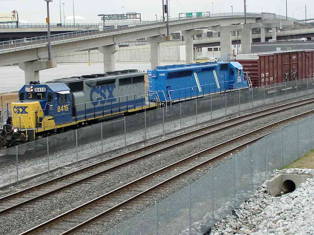
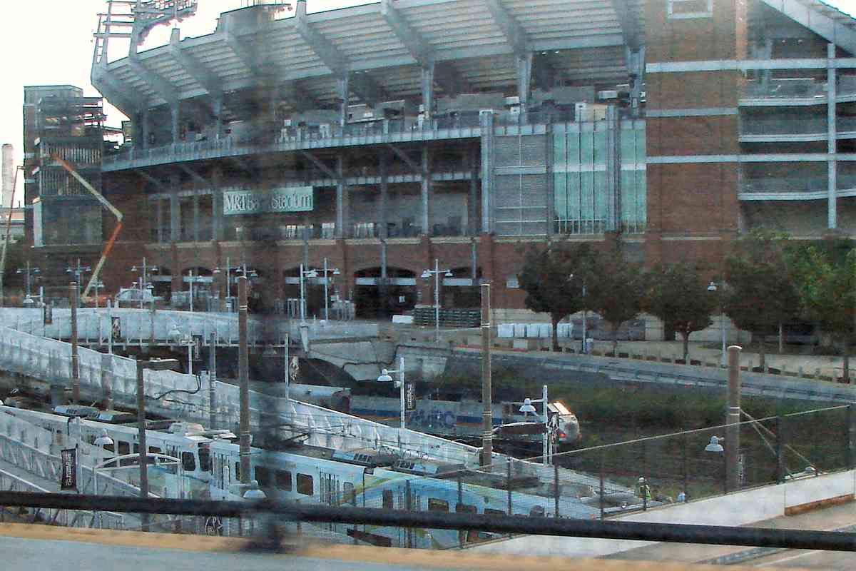
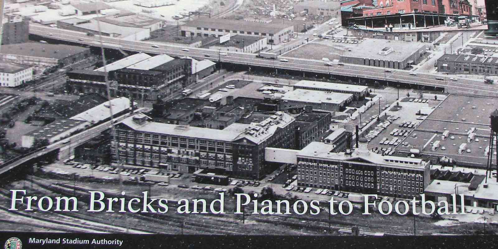
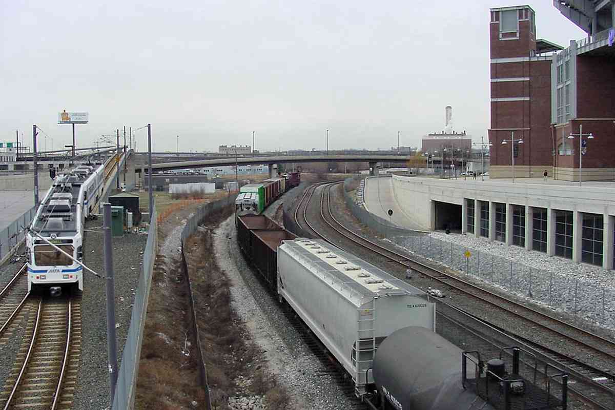
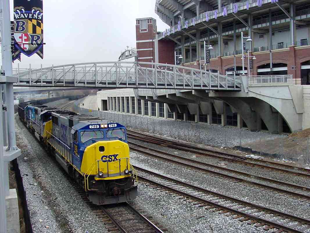
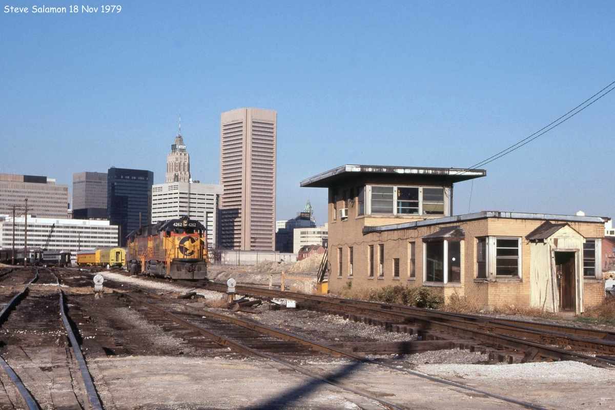
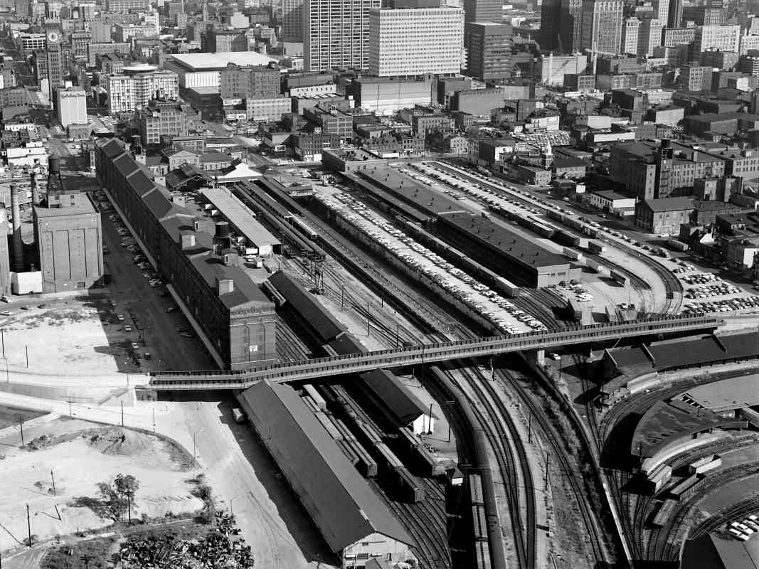
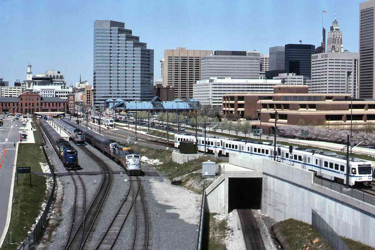
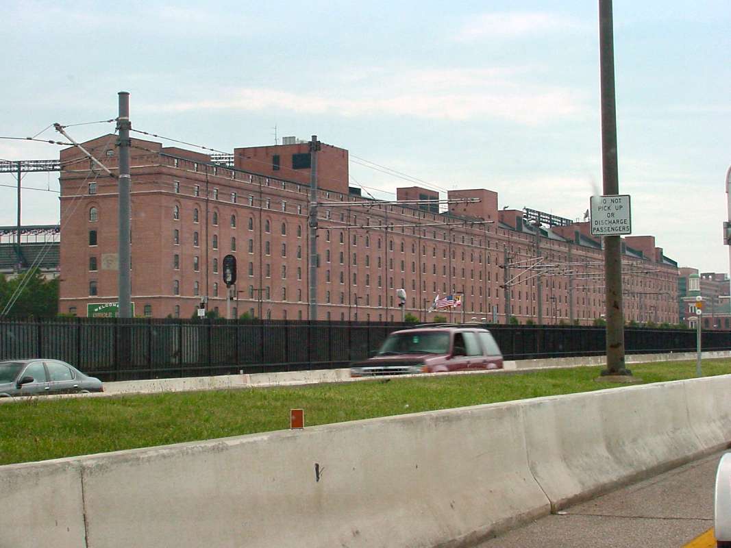
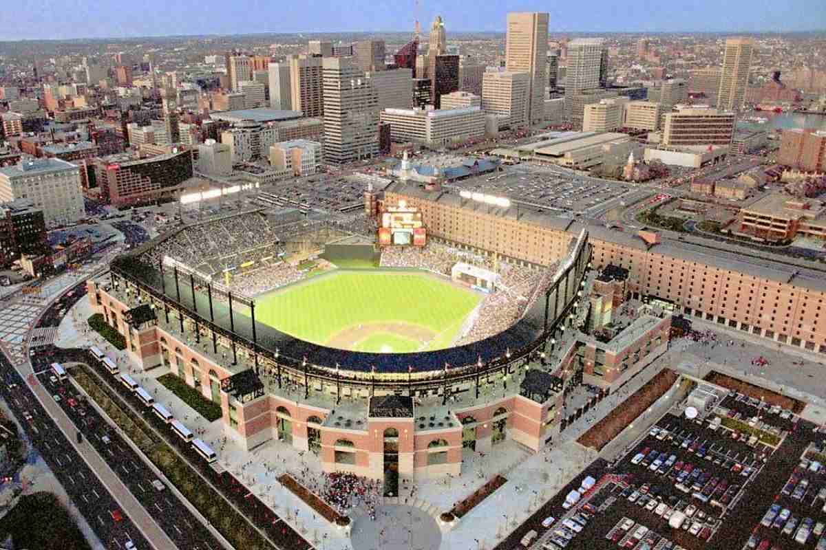
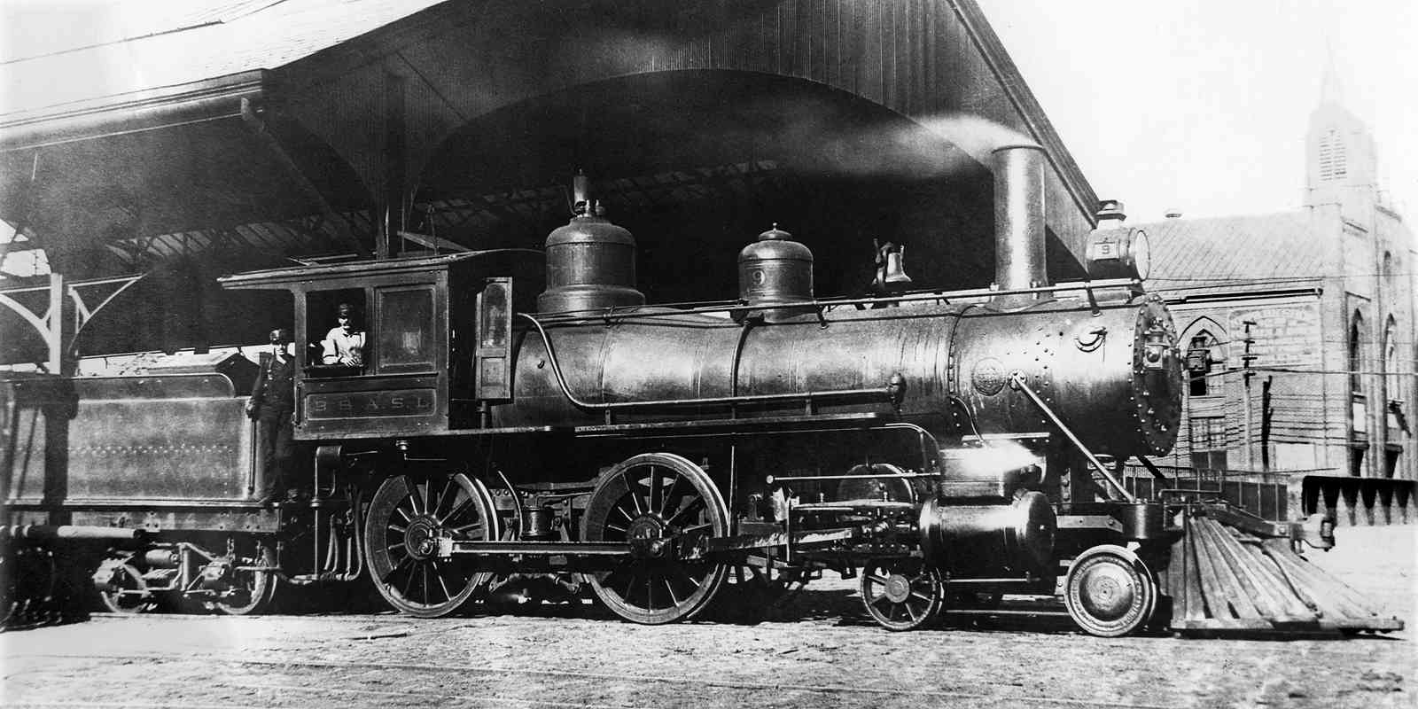
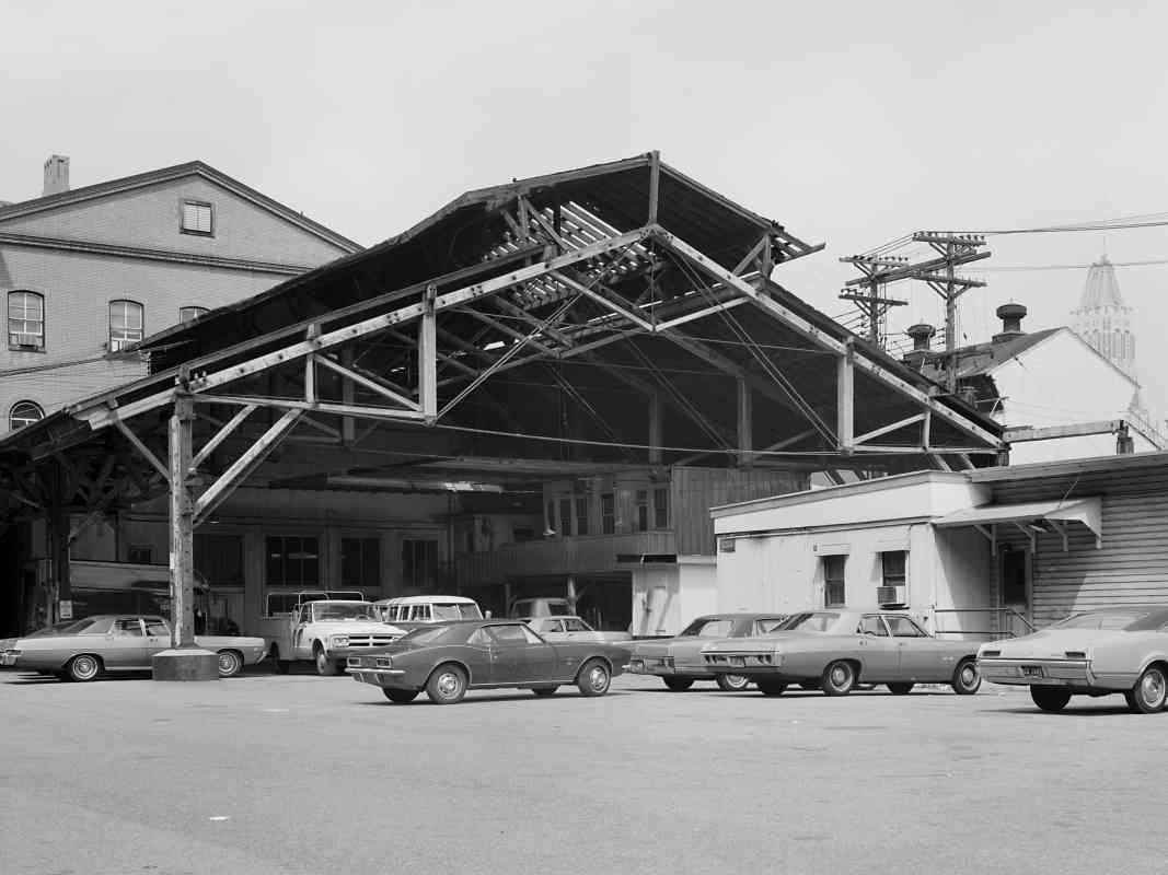
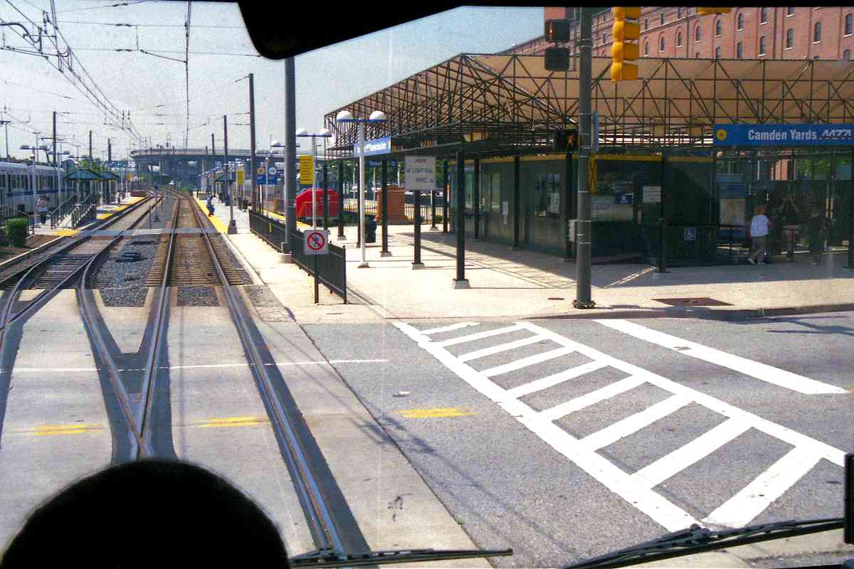
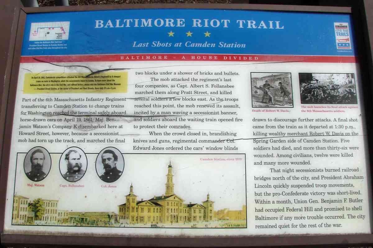
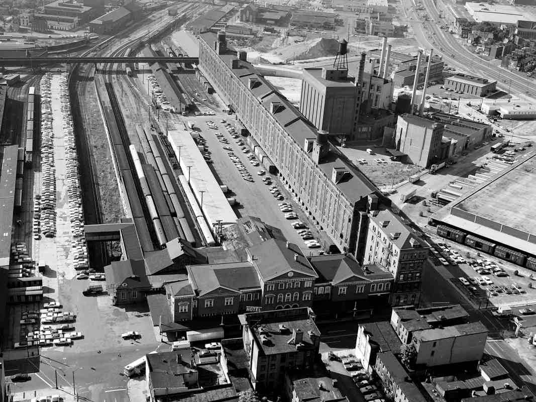
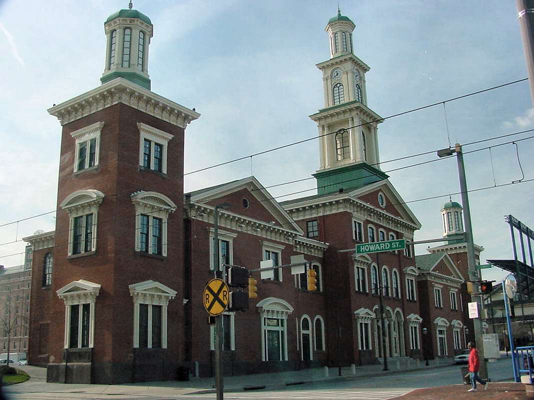
    Baltimore Riot Trail * * * Last Shots at Camden Station

    On April 19, 1861, Confederate sympathizers attacked the 6th Massachusetts Infantry Regiment as it changed trains en route to Washington, which the secessionists hoped to isolate. Part of the 6th Massachusetts Infantry Regiment 
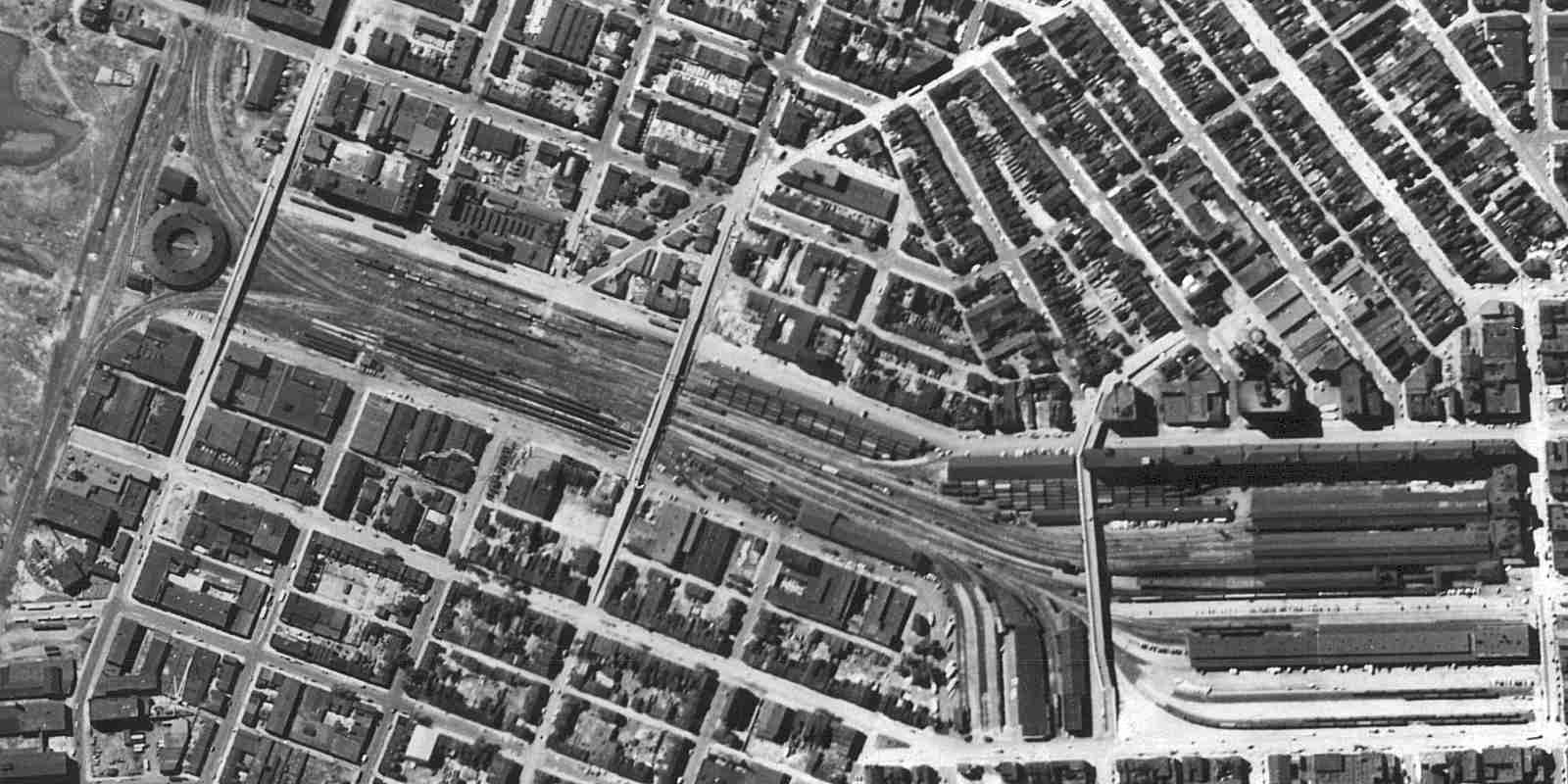
transferring to Camden Station to change trains from Washington reached the terminal safely aboard horse-drawn cars on April 19, 1861. Maj. Benjamin Watson’s Company K disembarked here at Howard Street, however, because a secessionist mob had torn up the track, and marched the final two blocks under a shower of bricks and bullets.

    The mob attacked the regiment's last four companies, as Capt. Albert S. Follansbee marched them along Pratt Street, and killed several soldiers a few blocks east. As the troops reached this point, the mob renewed its assault, incited by a man waving a secessionist banner, and soldiers aboard the waiting train opened fire to protect their comrades.

    When the crowd closed in, brandishing knives and guns, regimental commander Col. Edward Jones ordered the cars' window blinds drawn to discourage further attacks. A final shot came from the train as it departed at 1:30 p.m., killing wealthy merchant Robert W. Davis on the Spring Garden side of Camden Station. Five soldiers died, and more than thirty-six were wounded. Among civilians, twelve were killed and many more wounded.

    That night secessionists burned railroad bridges north of the city, and President Abraham Lincoln quickly suspended troop movements, but the pro-Confederate victory was short-lived. Within a month, Union Gen. Benjamin F. Butler had occupied Federal Hill and promised to shell Baltimore if any more trouble occurred. The city remained quiet for the rest of the war.

Link: more about this marker


Camden Interior
Photo courtesy Library of Congress
NEW! mid-Sep 2021

Camden Interior
Mile: 0.0 Date: ~1971
Ease: View: ?
Area: IC2: 261
Map: Ba 43 A 1 Topographic Maps

Library of Congress photographers captured Camden around the time Amtrak was taking on the role of long-distance passenger rail service. The station became a time capsule of sorts: only the lack of waiting passengers tells you this photo does not date from decades earlier.

Link: LoC source photo


Camden 1920
Photo courtesy Library of Congress
NEW! mid-Sep 2021

Camden 1920
Mile: 0.0 Date: ~1920 (Sep 2018)
Ease: ? View: S
Area: B IC2:
Map: Ba 43 A 1 Topographic Maps

Things were much busier in and around Camden Station circa 1920, as seen from the Bromo-Seltzer tower.

Link: LoC source photo


Camden 1971
Photo courtesy Library of Congress
NEW! mid-Sep 2021

Camden 1971
Mile: 0.0 Date: ~1971
Ease: View: S
Area: IC2: 214
Map: Ba 43 A 1 Topographic Maps

Though most B&O passenger service had ended by photo time, Camden remained a busy freight handling facility for several more years.

Link: LoC source photo


Camden Station

Camden Station
Mile: 0.0 Date: Dec 2001
Ease: A View: SW
Area: B IC2: 81, 213, 333, 385
Map: Ba 43 A 1 Topographic Maps

Camden Station opened in 1857, but due to Civil War delays, was not completed until 1865. The formation of the Chessie System in 1973 led to the shifting of Camden's rail operations to other locations. In 1992 the station building was restored to its original appearance.

In this picture, the B&O warehouse can be seen behind the left edge of the station. The RR crossing sign refers to the light rail line.

Links: 1869, 1920, Pic Group


<< Previous (west) | THIS PAGE: Bailey's Wye to Camden Station | End of tour || main index

This is a good place from which to join the Baltimore Belt Line tour.

Or, return to main page for other tours


Copyright Notice