|
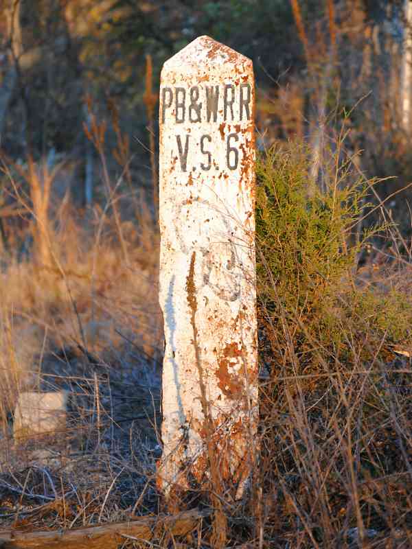
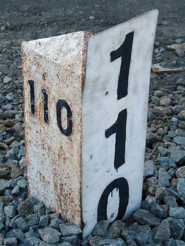
Marty Hager spotted this Philadelphia, Baltimore and Washington Railroad
marker in Bowie. The marker originates with the early 1900s merger of the
Philadelphia, Wilmngton, and Baltimore with the Baltimore and Potomac,
both under control of the Pennsylvania Railroad.
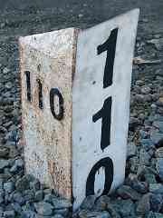
V.S. stands for Valuation Section, and the digits key to section numbers
on Valuation Maps. Railroads often put section boundaries at track branches,
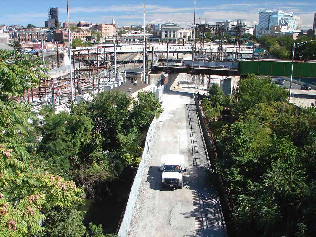
and Bowie is the important location where the branch to Washington split from
original B&P main line to Popes Creek. That branch is now part of Amtrak's
Northeast Corridor.
Other PB&W mile markers of this style, such as the one at right, show the
distance from Philadelphia. Amtrak has placed placards with larger digits
on many of them.
Change for:
PRR RR tour at this site
|